Elevation of S State Rd 37, English, IN, USA
Location: United States > Indiana > Crawford County > Union Township >
Longitude: -86.468908
Latitude: 38.2902626
Elevation: 191m / 627feet
Barometric Pressure: 99KPa
Elevation Map:
Satellite Map:
Related Photos:

Just a reminder of what Summer looks like

Beautiful Day in Kentuckiana

Leavenworth, Indiana- 2017

Broad View
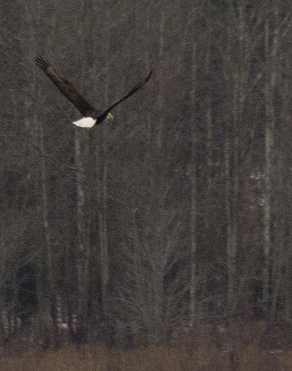
Lucky Shot

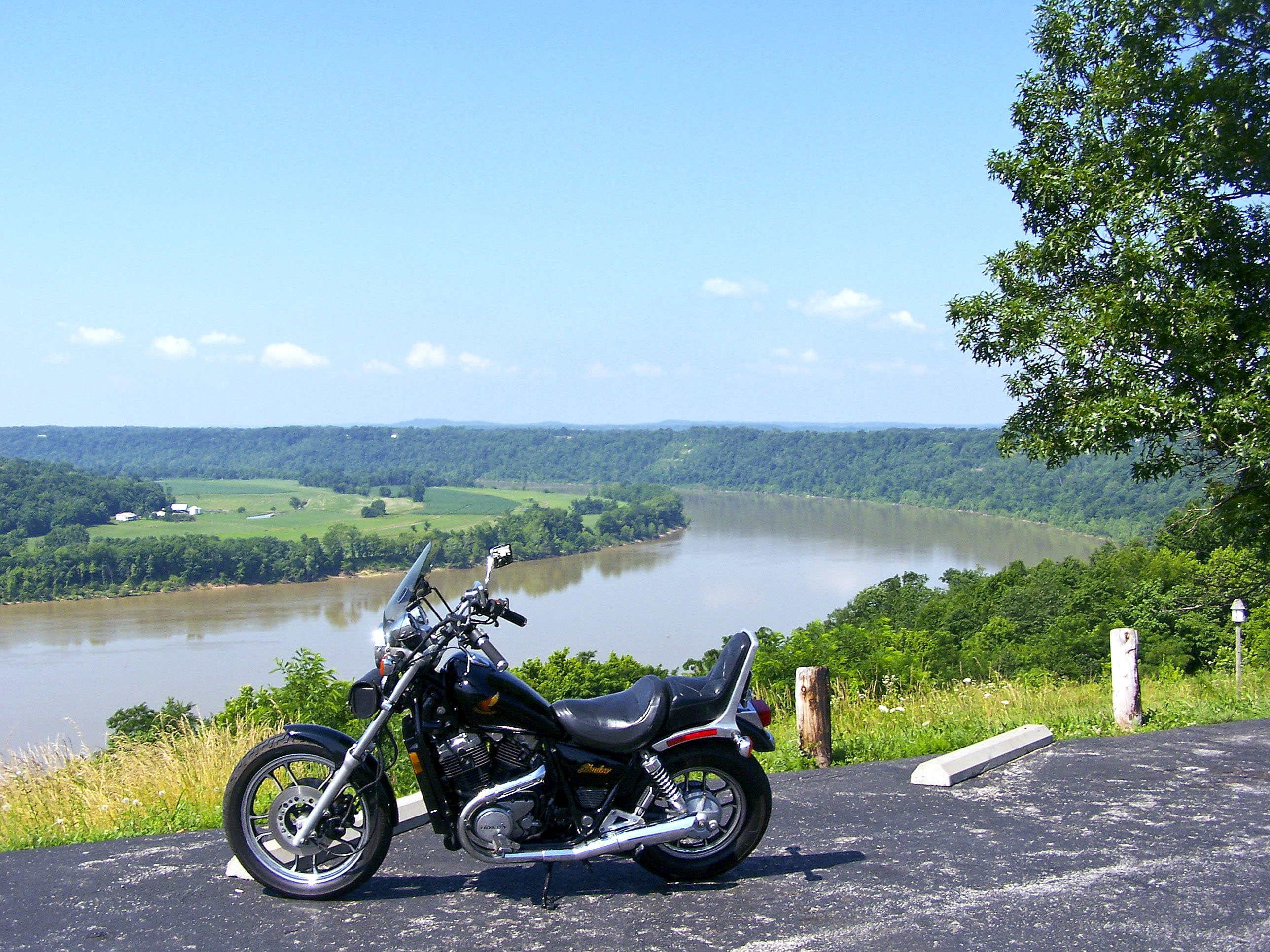
Great View of the Ohio River
Leavenworth, Indiana

Go With the Flow

The Summer Flowers Of Southern IN IV

Horseshoe Bend

Angel by the Church

trippy cave ceiling
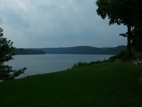
Ohio River

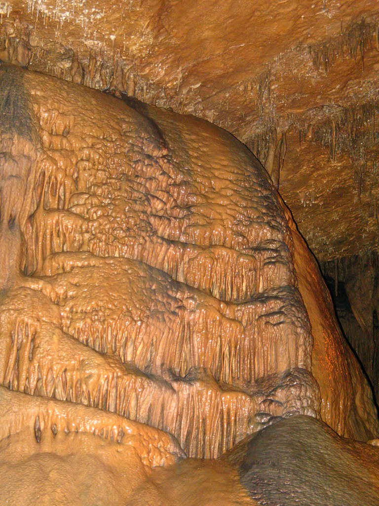
Marengo Cave

Ohio River 3

Crystal Palace

Ohio River 2

Ohio River

Stalactites come down and hold on "tight" Stalagmites grow up and they "might" reach the top. #tips now back to the distilleries.

Small Ice Formations in a Cave at Hemlock Cliffs
Flowstone Bright

Ohio River

Cave Formation

9.13.2009 Marengo Caves, IN (169)
Topographic Map of S State Rd 37, English, IN, USA
Find elevation by address:

Places near S State Rd 37, English, IN, USA:
Crawford County
S Riddle Rd, English, IN, USA
7 IN-62, English, IN, USA
E Magnolia Rd, English, IN, USA
IN-66, English, IN, USA
IN-66, Milltown, IN, USA
S Vetters Rd, Leavenworth, IN, USA
Jennings Township
E Industrial Ln, Leavenworth, IN, USA
10 S Whiskey Run Ranch Rd
E McClure Rd, Leavenworth, IN, USA
1153 In-62
Ohio Township
Boone Township
850 Court St
Leavenworth
8155 E Knight Rd
1153 Old State Hwy 62
8490 Big Bend Rd
6663 E Archibald Falls Rd
Recent Searches:
- Elevation of Corso Fratelli Cairoli, 35, Macerata MC, Italy
- Elevation of Tallevast Rd, Sarasota, FL, USA
- Elevation of 4th St E, Sonoma, CA, USA
- Elevation of Black Hollow Rd, Pennsdale, PA, USA
- Elevation of Oakland Ave, Williamsport, PA, USA
- Elevation of Pedrógão Grande, Portugal
- Elevation of Klee Dr, Martinsburg, WV, USA
- Elevation of Via Roma, Pieranica CR, Italy
- Elevation of Tavkvetili Mountain, Georgia
- Elevation of Hartfords Bluff Cir, Mt Pleasant, SC, USA