Elevation of E Magnolia Rd, English, IN, USA
Location: United States > Indiana > Crawford County > Jennings Township >
Longitude: -86.393135
Latitude: 38.249419
Elevation: 154m / 505feet
Barometric Pressure: 99KPa
Elevation Map:
Satellite Map:
Related Photos:

Looking west on Main Street, Milltown, Indiana
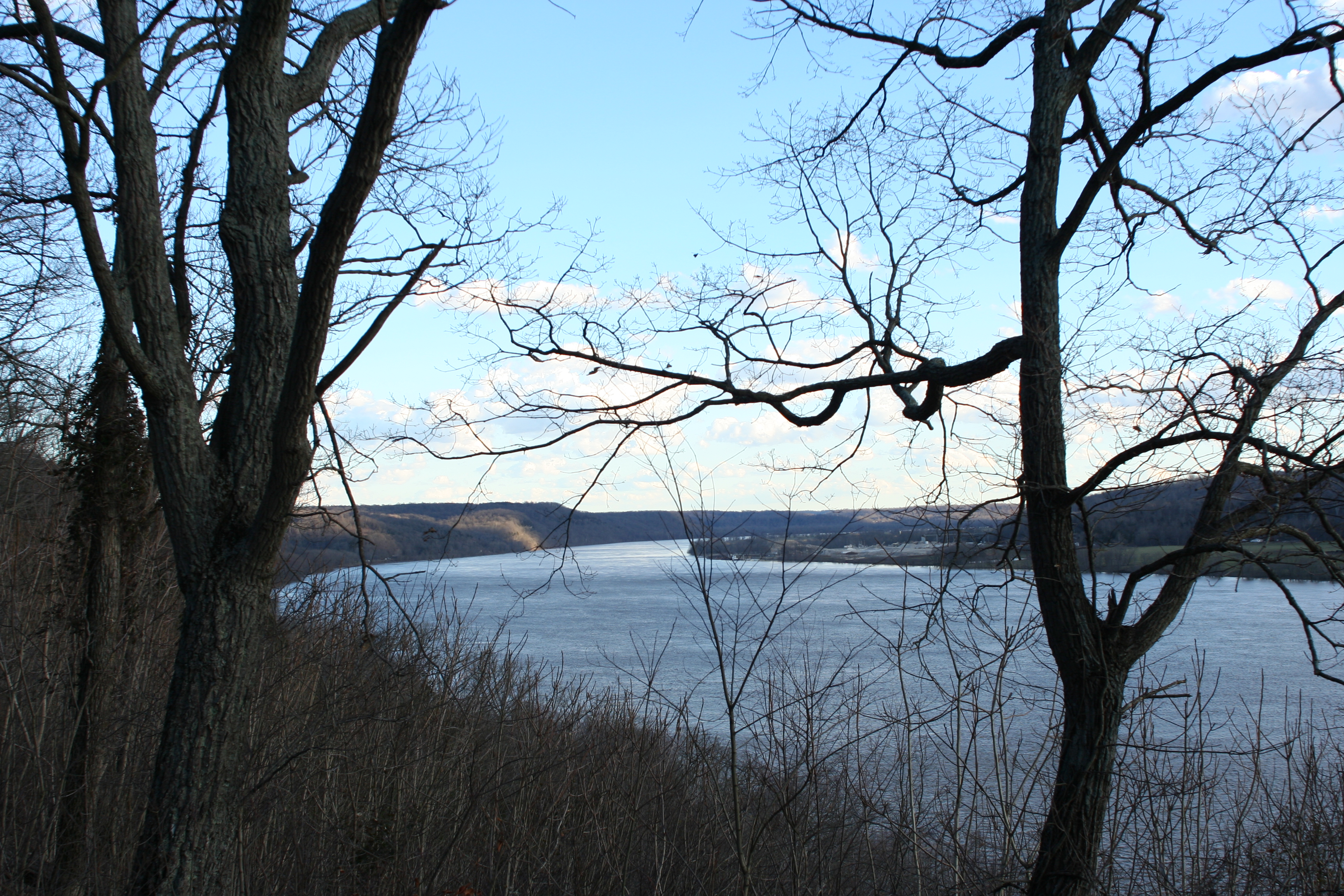
View Down River from Shelter House Two
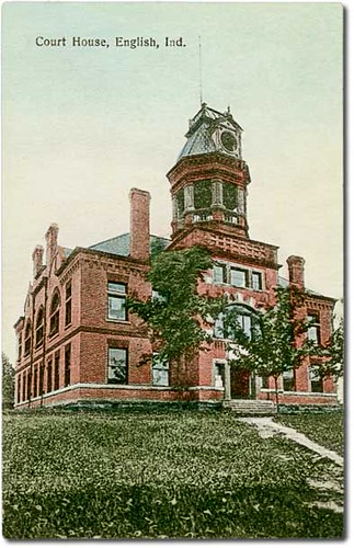
Court House, English, Indiana
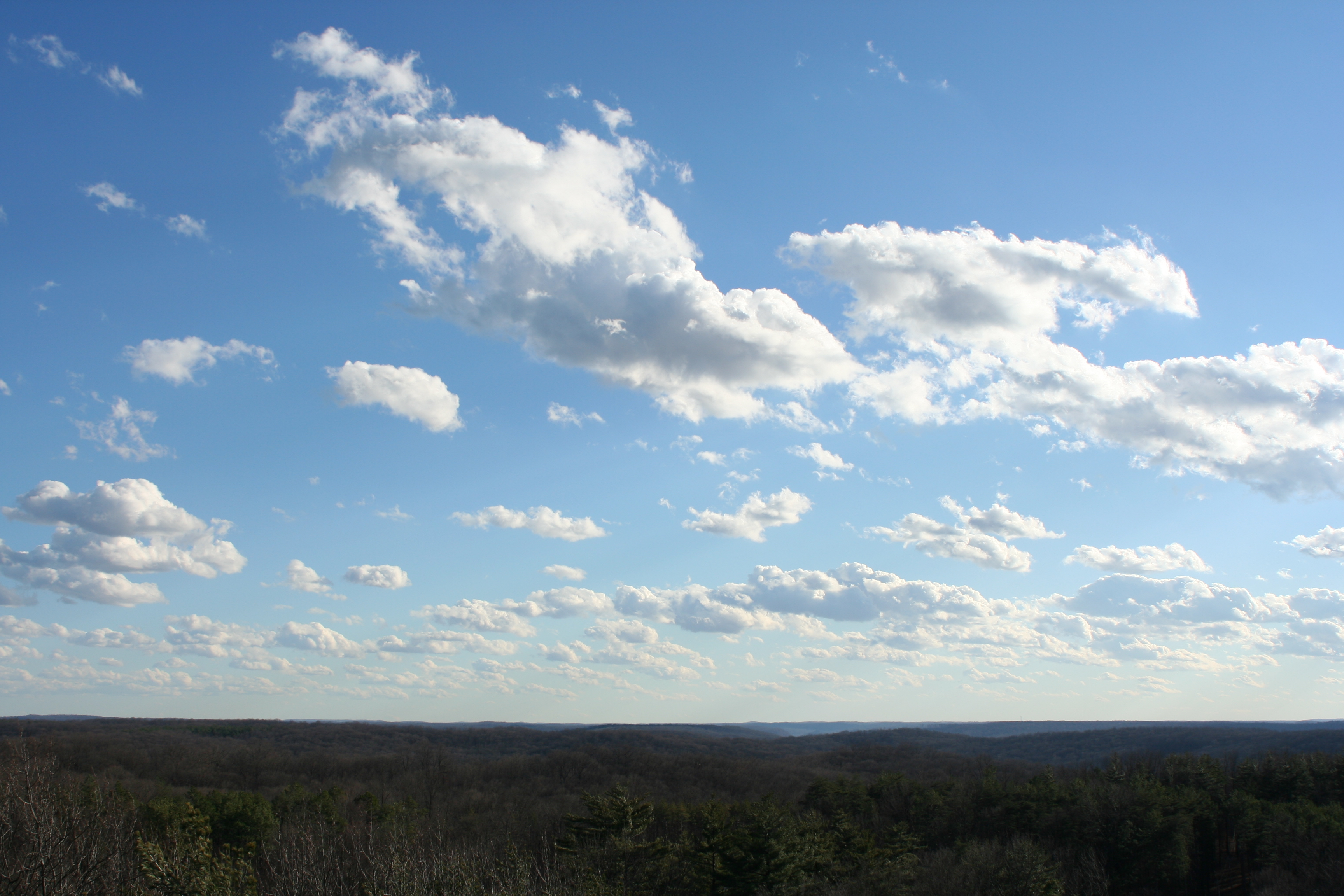
Views From The Fire Tower
View Down River from Shelter House Two

Splash of Color

Post office and 1913 flood, Milltown, Indiana, section 1
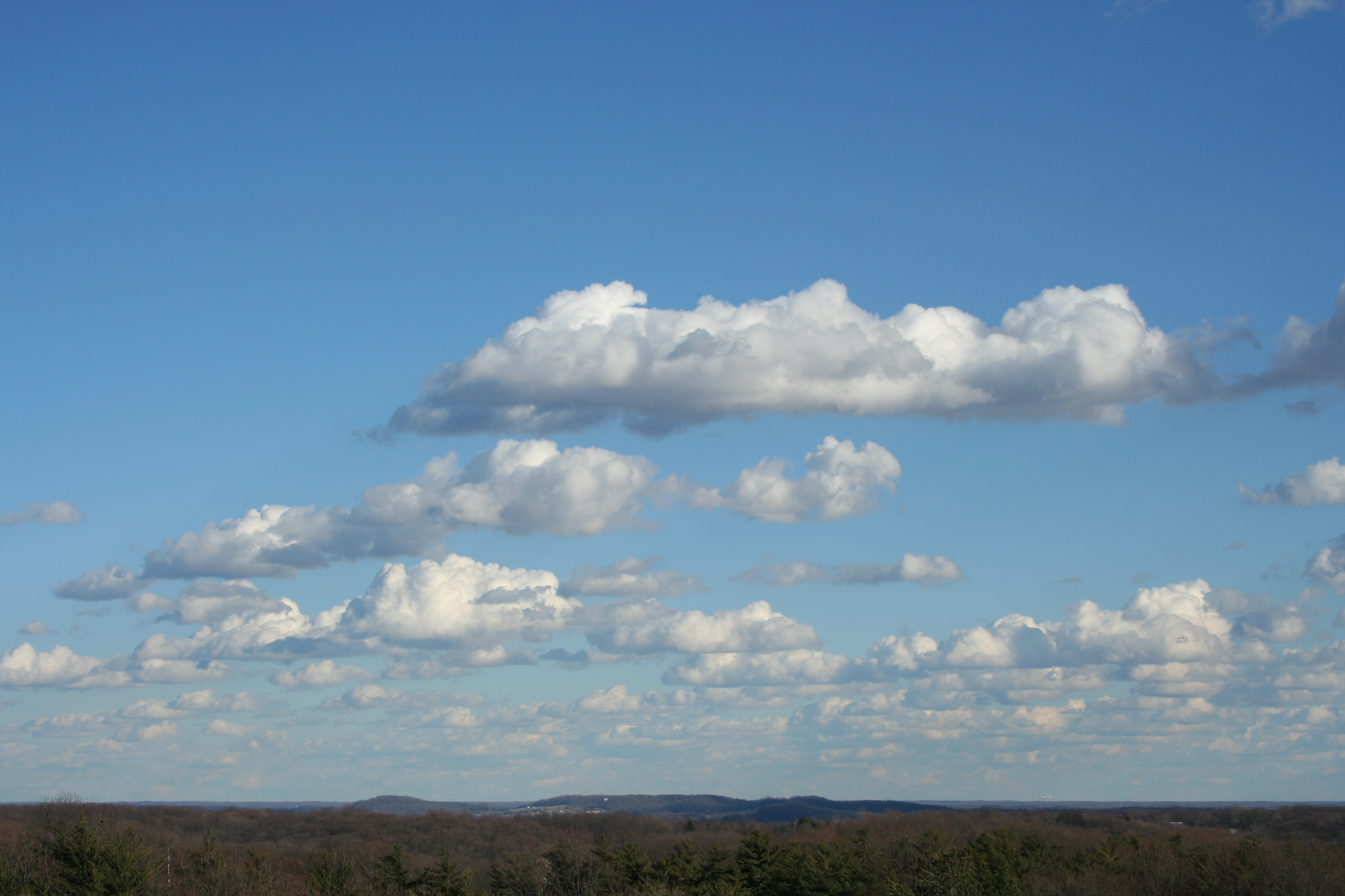
Views From The Fire Tower
Beautiful Day in Kentuckiana
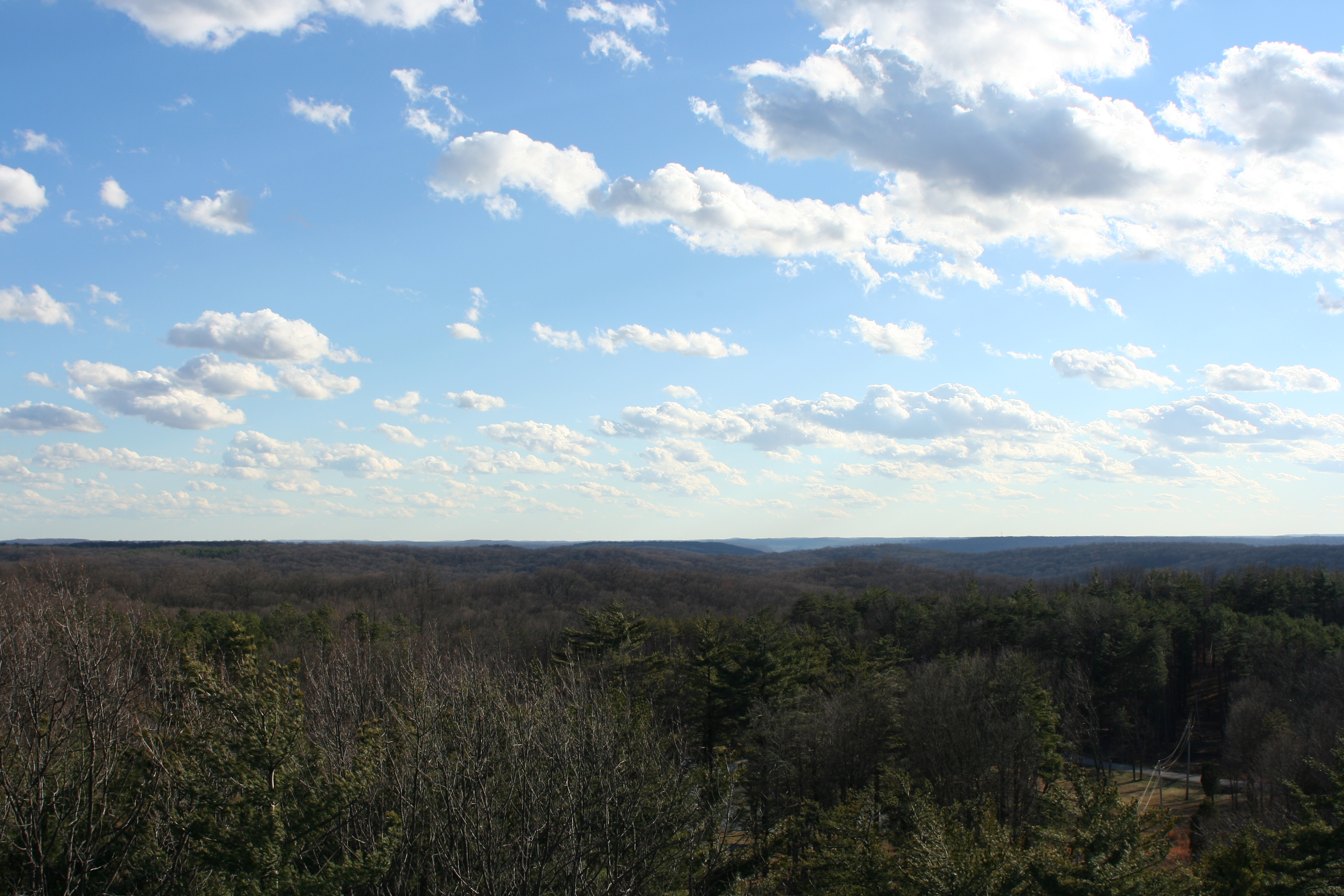
Views From The Fire Tower

Bird's-eye view with covered bridge, Milltown, Indiana

Great view
Shelter House 2 Views
Just a reminder of what Summer looks like
Broad View
Post office and 1913 flood, Milltown, Indiana

Fancy Ironwork
Alton Bridge barrel view, Crawford County, IN
Fire Tower Panorama
Cave Cups
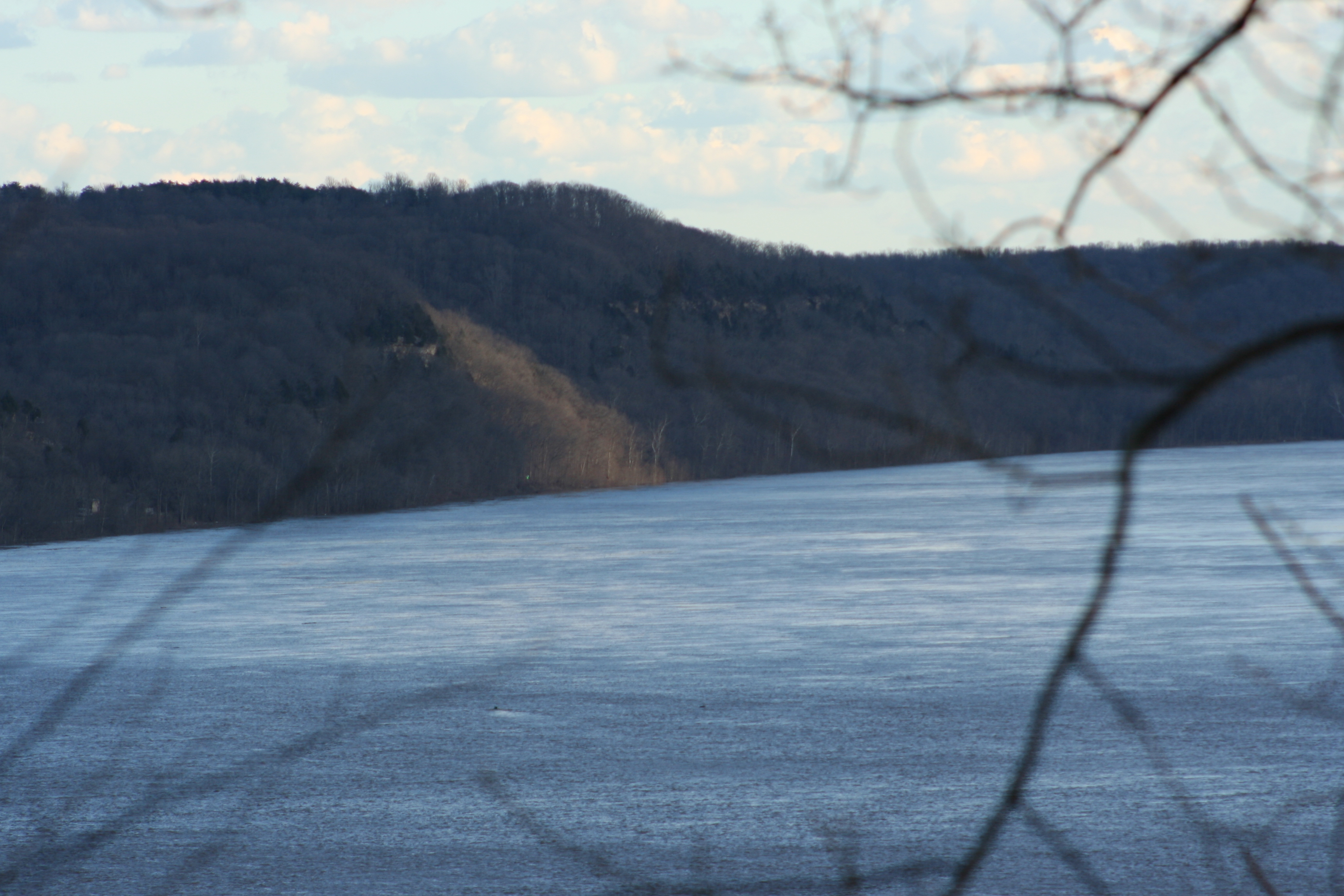
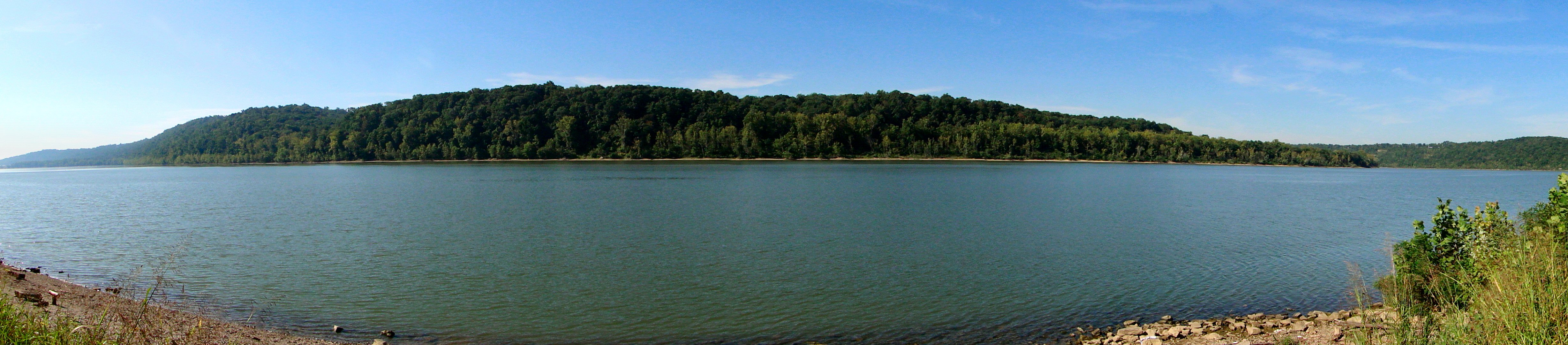
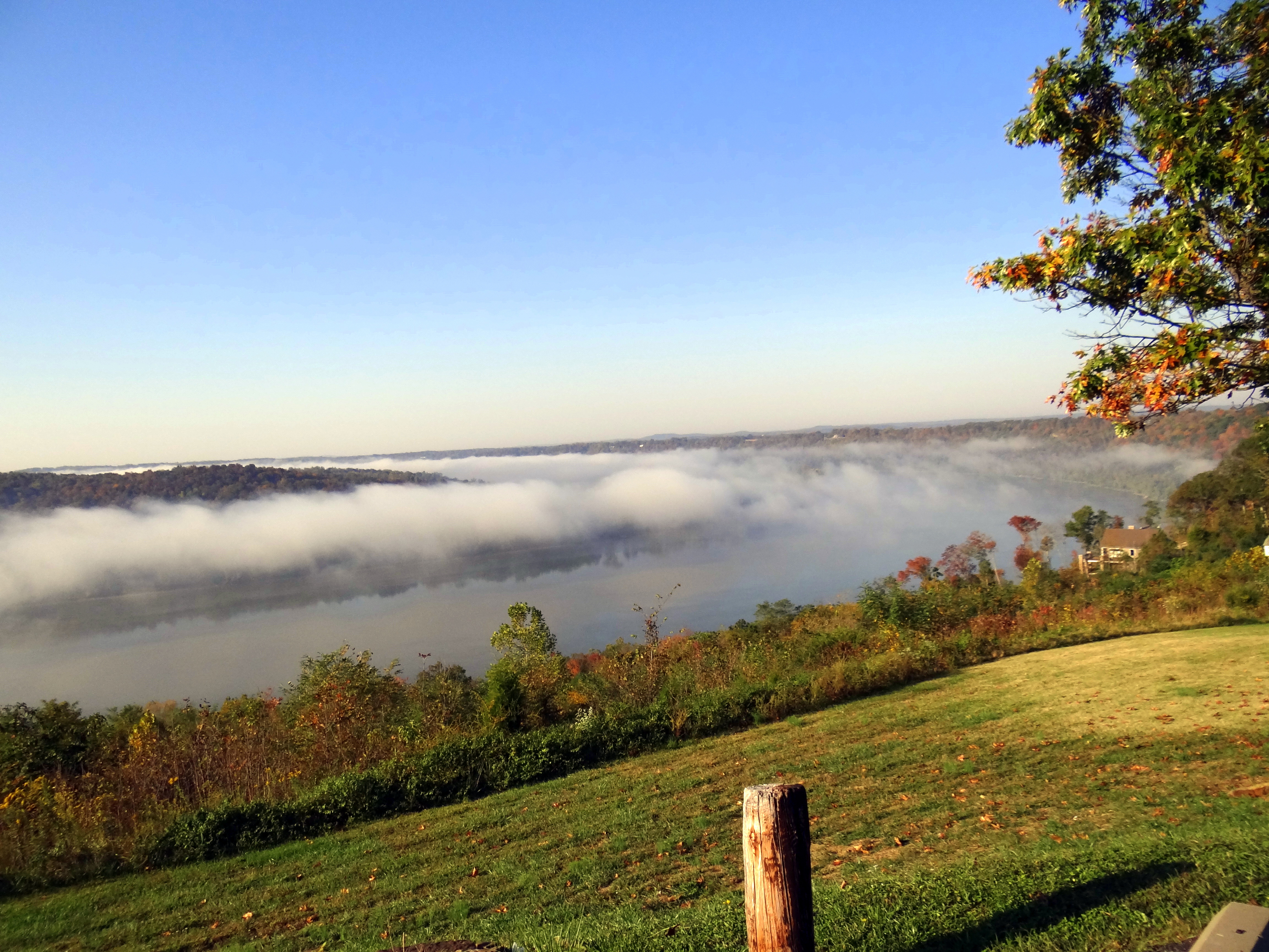
Great View of the Ohio River
What Lies Beneath
Horseshoe Bend

Ohio River SR 62 EB W edge of Leavenworth

Want to Come Out To Play?
Crystal Palace

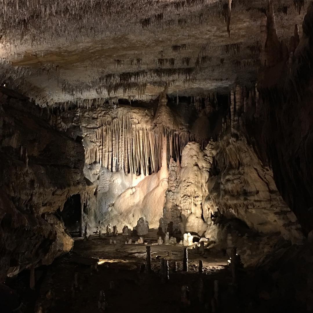
2015 Marengo Cave (1)

Stalactites come down and hold on "tight" Stalagmites grow up and they "might" reach the top. #tips now back to the distilleries.

Ohio River 3

Ohio River 2

Ohio River
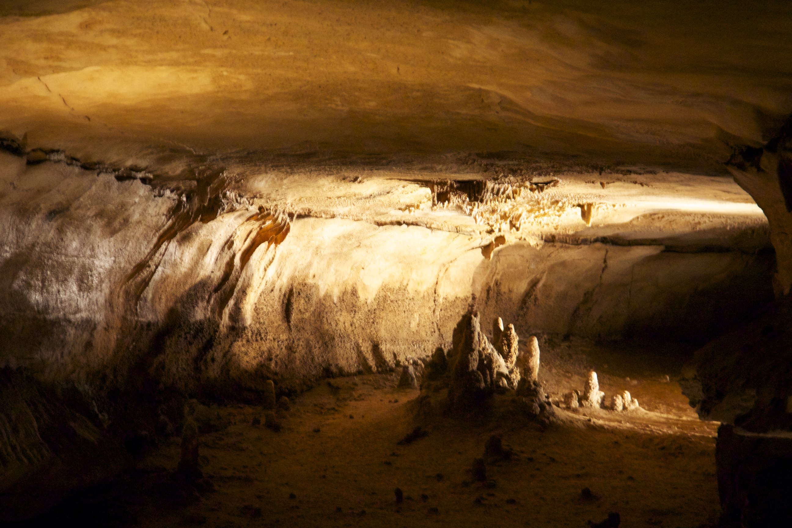
Cave Formation
Breeden's Bridge Parker Truss camelback span, Harrison & Crawford counties, IN

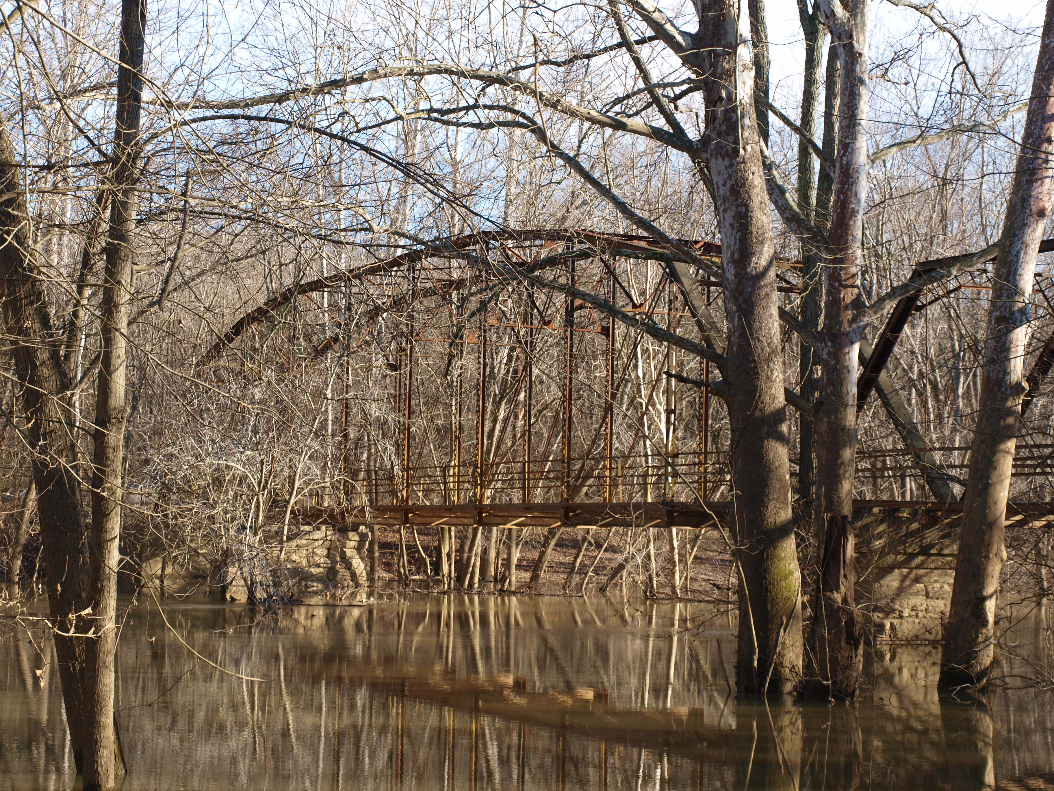
Rothrock's Mill Bridge
trippy cave ceiling
Burgess Circle Road
Hemlock Cliffs 2014
Breeden's Bridge Pratt Truss span, Harrison & Crawford counties, IN
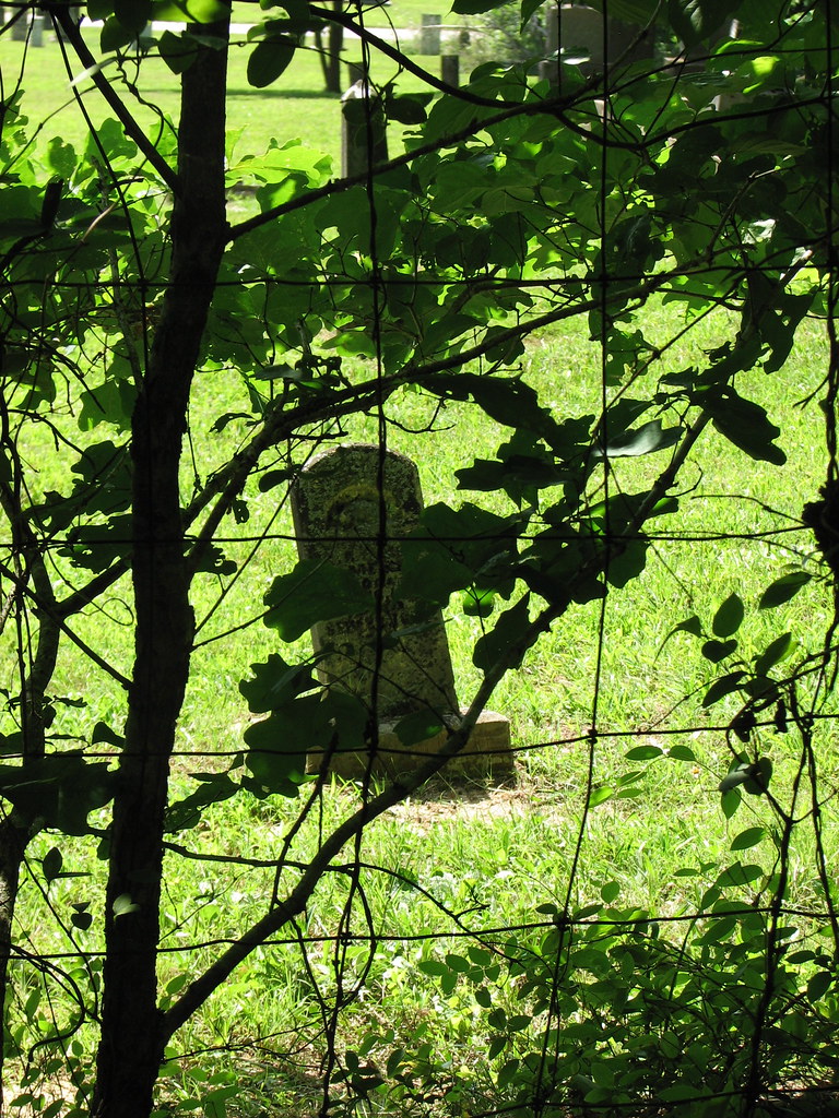
Grave marker at Marango Cave
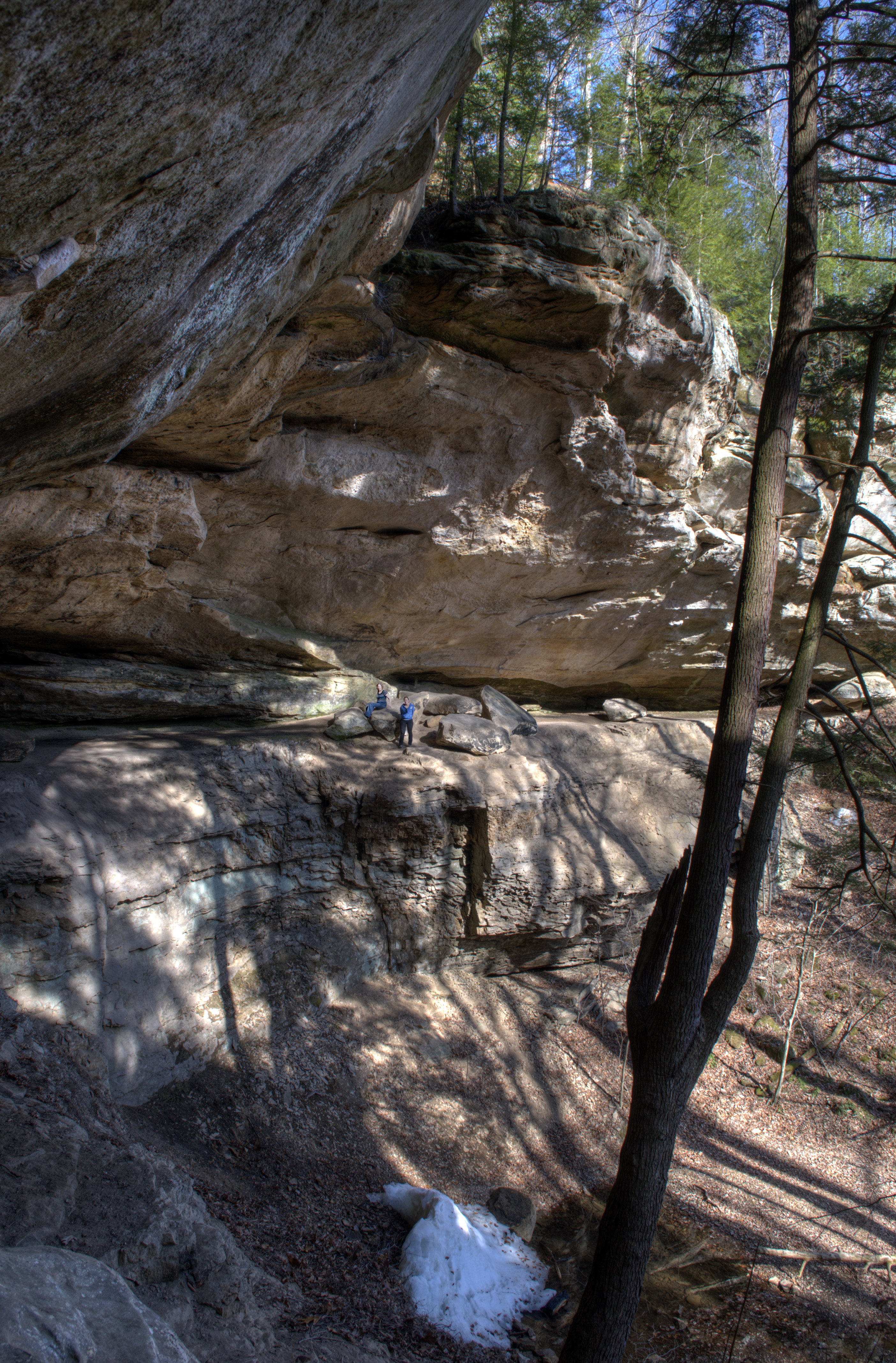
hemlock cliffs 2
Topographic Map of E Magnolia Rd, English, IN, USA
Find elevation by address:

Places near E Magnolia Rd, English, IN, USA:
S Riddle Rd, English, IN, USA
Jennings Township
E Industrial Ln, Leavenworth, IN, USA
IN-66, English, IN, USA
IN-66, Milltown, IN, USA
1153 In-62
850 Court St
Leavenworth
E McClure Rd, Leavenworth, IN, USA
1153 Old State Hwy 62
10 S Whiskey Run Ranch Rd
7 IN-62, English, IN, USA
Ohio Township
10288 S State Rd 37
Crawford County
8490 Big Bend Rd
8155 E Knight Rd
S Vetters Rd, Leavenworth, IN, USA
4323 S Wyandotte Cave Rd
6663 E Archibald Falls Rd
Recent Searches:
- Elevation of Corso Fratelli Cairoli, 35, Macerata MC, Italy
- Elevation of Tallevast Rd, Sarasota, FL, USA
- Elevation of 4th St E, Sonoma, CA, USA
- Elevation of Black Hollow Rd, Pennsdale, PA, USA
- Elevation of Oakland Ave, Williamsport, PA, USA
- Elevation of Pedrógão Grande, Portugal
- Elevation of Klee Dr, Martinsburg, WV, USA
- Elevation of Via Roma, Pieranica CR, Italy
- Elevation of Tavkvetili Mountain, Georgia
- Elevation of Hartfords Bluff Cir, Mt Pleasant, SC, USA