Elevation of 10 S Whiskey Run Ranch Rd, Milltown, IN, USA
Location: United States > Indiana > Crawford County > Whiskey Run Township >

Longitude: -86.338437

Latitude: 38.3065336

Elevation: 247m / 810feet

Barometric Pressure: 98KPa

Elevation Map:

elevation map of 10 S Whiskey Run Ranch Rd, Milltown, IN, USA
Satellite Map:

Satellite map of 10 S Whiskey Run Ranch Rd, Milltown, IN, USA

Related Photos:

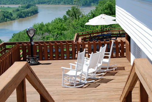
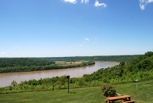
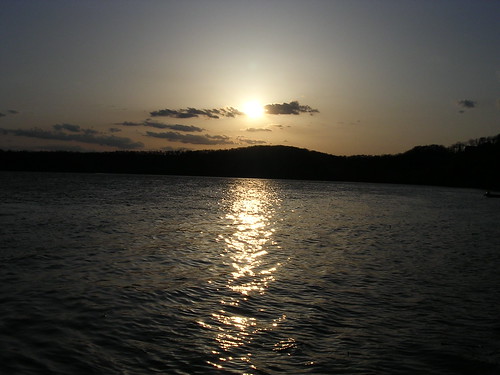
restaurant ohioriver overlookrestaurant leavenworthin
Great view
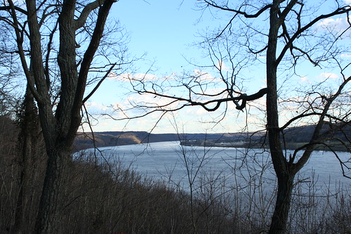
canon woods indiana canoneosdigitalrebelxt in diamondclassphotographer flickrdiamond harrisoncrawfordstateforest
View Down River from Shelter House Two
county morning blue summer panorama usa sun color building green nature water leaves garden wonder landscape fishing woods midwest unitedstates kodak hill scenic peaceful indiana southernindiana southern northamerica stitched dx7590 crawford ohioriver leavenworth crawfordcounty stitchedpanorama overlookrestaurant
Just a reminder of what Summer looks like
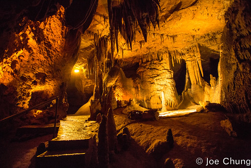
yellow dark underground nationalpark rocks darkness unitedstates indiana caves marengo
Broad View
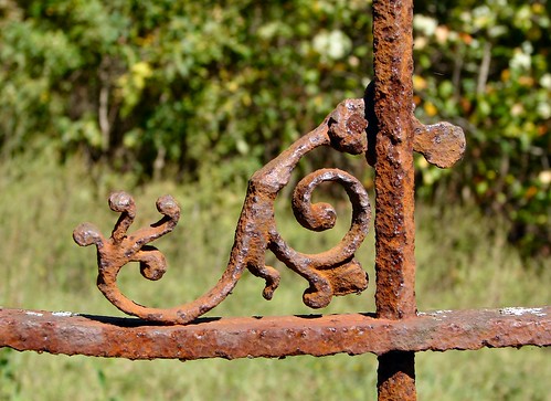
old fence rust iron rusty indiana fancy crawfordcounty handforged peckinpaughcemetery 380795n 862006w 18591914
Fancy Ironwork
canon woods indiana canoneosdigitalrebelxt in harrisoncrawfordstateforest
View Down River from Shelter House Two
park county panorama tower america fire woods midwest state sony indiana southernindiana obannon dschx1
Fire Tower Panorama
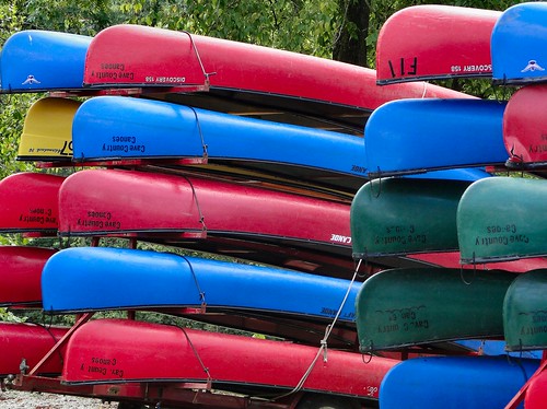
blue red color green yellow colorful bright indiana canoes milltown blueriver crawfordcounty cavecountrycanoes p189 dschx1
Splash of Color
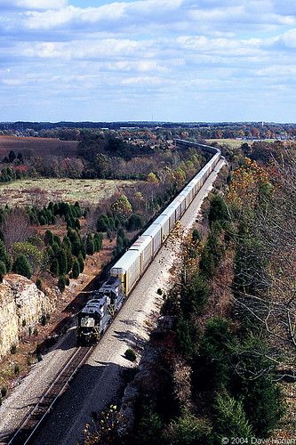
railroad train track fuji cut ns norfolk indiana rail railway tunnel slide trains southern dina provia railroads depauw 100f fairdale
NS 5047 on 25A - Fairdale, IN
clouds canon woods indiana canoneosdigitalrebelxt in harrisoncrawfordstateforest
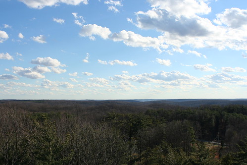
Views From The Fire Tower
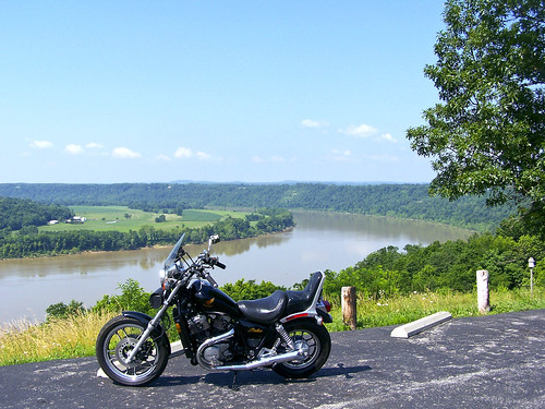
blue sky panorama water river kentucky indiana ohioriver leavenworth oyo crawfordcounty horseshoebend dschx1
Beautiful Day in Kentuckiana
restaurant ohioriver overlookrestaurant leavenworthin
Great View of the Ohio River
Leavenworth, Indiana
restaurant ohioriver overlookrestaurant leavenworthin
Great place to relax and enjoy the view
indiana limestone cave geology 2011 marengocave
Go With the Flow
clouds canon woods indiana canoneosdigitalrebelxt in harrisoncrawfordstateforest
Views From The Fire Tower
canon woods indiana canoneosdigitalrebelxt in harrisoncrawfordstateforest
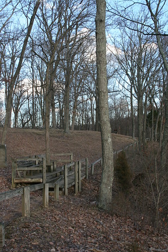
Shelter House 2 Views
trees sky panorama clouds us woods unitedstates indiana firetower corydon obannonwoodsstatepark harrisoncrawfordstateforest
Harrison-Crawford State Forest
sandstone indiana limestone cave marengo stalactites stalagmites formations crawfordcounty marengocave ibeauty p191
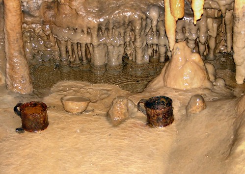
Cave Cups
clouds canon woods indiana canoneosdigitalrebelxt in harrisoncrawfordstateforest
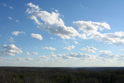
Views From The Fire Tower
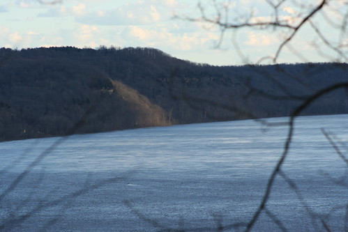
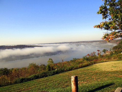
morning mist fog river indiana overlook ohioriver leavenworth crawfordcounty horseshoebend dschx1
Horseshoe Bend
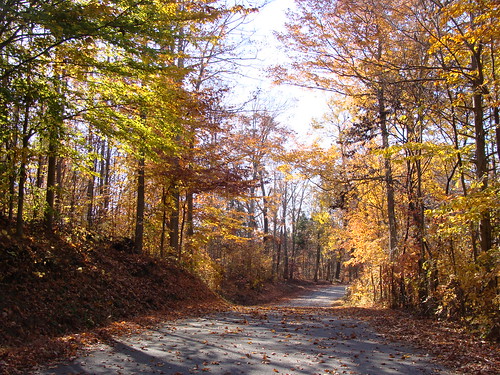
road autumn sky fall colors beautiful drive day country indiana corydon harrisoncounty
Burgess Circle Road
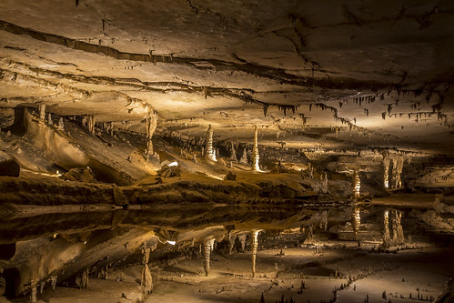
lake water rock mirror mirrorlake indiana cave marengo refelection marengocave caverscavescavingphotoscccp morengoindiana snuckel davidsnuckel dsnuckel
Marengo Cave Mirror Lake
Want to Come Out To Play?
usa reflection underground landscape rocks united indiana southernindiana cave states geology stalagmite stalactite marengocave
What Lies Beneath
square squareformat iphoneography instagramapp uploaded:by=instagram
Crystal Palace
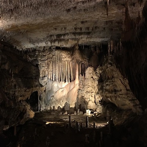
2015 Marengo Cave (1)
1/20th
square squareformat iphoneography instagramapp uploaded:by=instagram foursquare:venue=4bb21a7af964a52017b93ce3
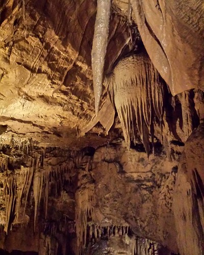
Stalactites come down and hold on "tight" Stalagmites grow up and they "might" reach the top. #tips now back to the distilleries.
ohio river indiana in
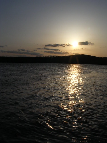
Ohio River 3
ohio river indiana in
Ohio River 2
ohio river indiana in
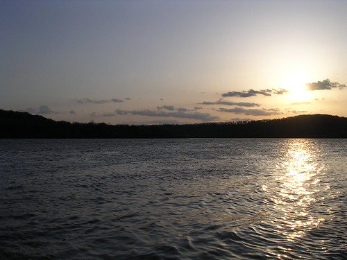
Ohio River
caves cave caving morango marengo marengocave morangocave morangocaves morangoindiana morangoin
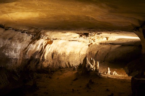
Cave Formation
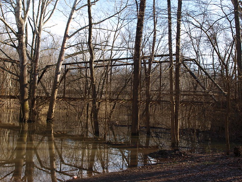
indiana southern indianabridgeandbarnrun
Breeden's Bridge Parker Truss camelback span, Harrison & Crawford counties, IN
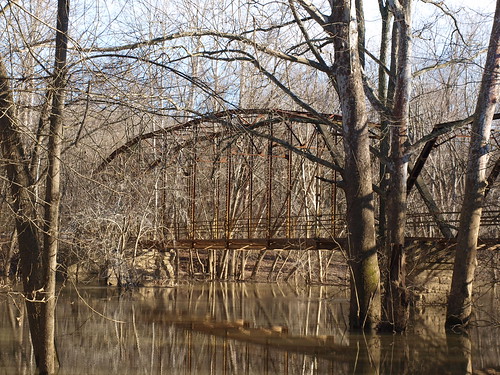
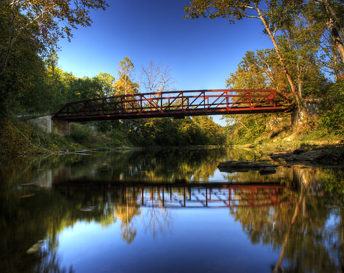
pictures road county bridge blue trees shadow red usa reflection tree green mill water pool reflections river landscape photography us photo shadows harrison unitedstates state photos united picture indiana southern states hdr crawford blueriver rothrock harrisoncounty rothrocksmill rothrocks
Rothrock's Mill Bridge
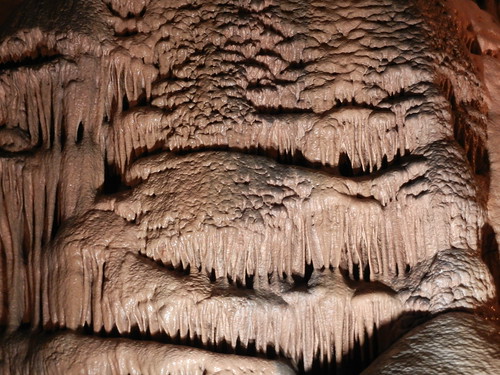
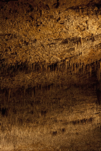
underground indiana caves stalagmites formations stalagtites in marengocave
trippy cave ceiling
church cemetery stone angel memorial sad indiana marengo crawfordcounty dschx1 marengocemetery
Angel by the Church
indiana southern indianabridgeandbarnrun
Breeden's Bridge Pratt Truss span, Harrison & Crawford counties, IN
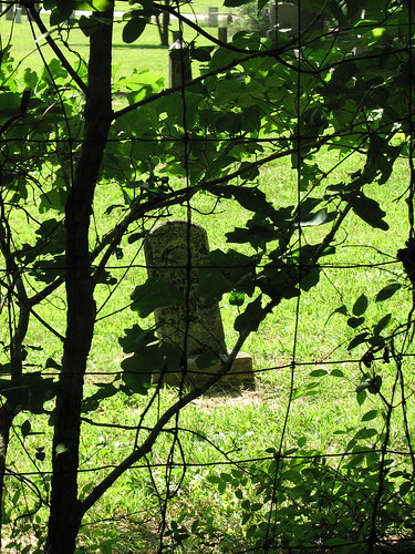
trees sun green july indiana southernindiana
Grave marker at Marango Cave