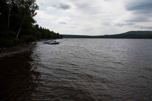
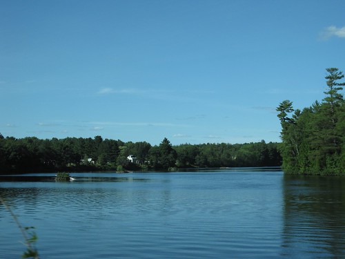
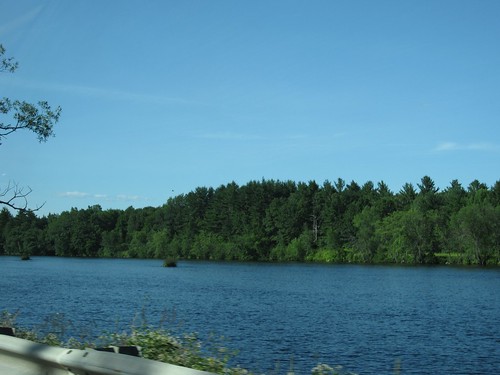
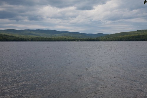
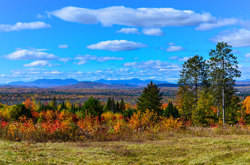
Elevation of S Solon Rd, Solon, ME, USA
Location: United States > Maine > Somerset County > Solon >
Longitude: -69.783653
Latitude: 44.9117019
Elevation: 210m / 689feet
Barometric Pressure: 99KPa
Related Photos:
Topographic Map of S Solon Rd, Solon, ME, USA
Find elevation by address:

Places near S Solon Rd, Solon, ME, USA:
155 Horsetail Hill Rd
320 S Solon Rd
118 Eaton Hill Rd
300 S Solon Rd
295 S Solon Rd
290 S Solon Rd
287 S Solon Rd
287 S Solon Rd
285 S Solon Rd
280 S Solon Rd
280 S Solon Rd
280 S Solon Rd
280 S Solon Rd
280 S Solon Rd
275 S Solon Rd
275 S Solon Rd
19 Rowell Mountain Rd
West Road
306 Drury Rd
130 French Hill Rd
Recent Searches:
- Elevation of Corso Fratelli Cairoli, 35, Macerata MC, Italy
- Elevation of Tallevast Rd, Sarasota, FL, USA
- Elevation of 4th St E, Sonoma, CA, USA
- Elevation of Black Hollow Rd, Pennsdale, PA, USA
- Elevation of Oakland Ave, Williamsport, PA, USA
- Elevation of Pedrógão Grande, Portugal
- Elevation of Klee Dr, Martinsburg, WV, USA
- Elevation of Via Roma, Pieranica CR, Italy
- Elevation of Tavkvetili Mountain, Georgia
- Elevation of Hartfords Bluff Cir, Mt Pleasant, SC, USA
