Elevation of Drury Rd, Solon, ME, USA
Location: United States > Maine > Somerset County > Solon >
Longitude: -69.785075
Latitude: 44.9769076
Elevation: 208m / 682feet
Barometric Pressure: 99KPa
Elevation Map:
Satellite Map:
Related Photos:

Left Side View Cabin #1

A Church in Bingham

Another View of Kitchen Cabin #3

Bridge viewed through Fall Foliage

View from the Front Door Cabin #1

Houston Brook Falls

Houston Brook Falls, Maine

Sun sets behind the mountains and we have a long way to drive tonight

Houston Brook Falls - A Glorious Morning

Houston Brook Falls

Houston Brook Falls

Houston Brook Falls

Autumn Sunset - Solon, Maine

beginner's mind: nasturtiums
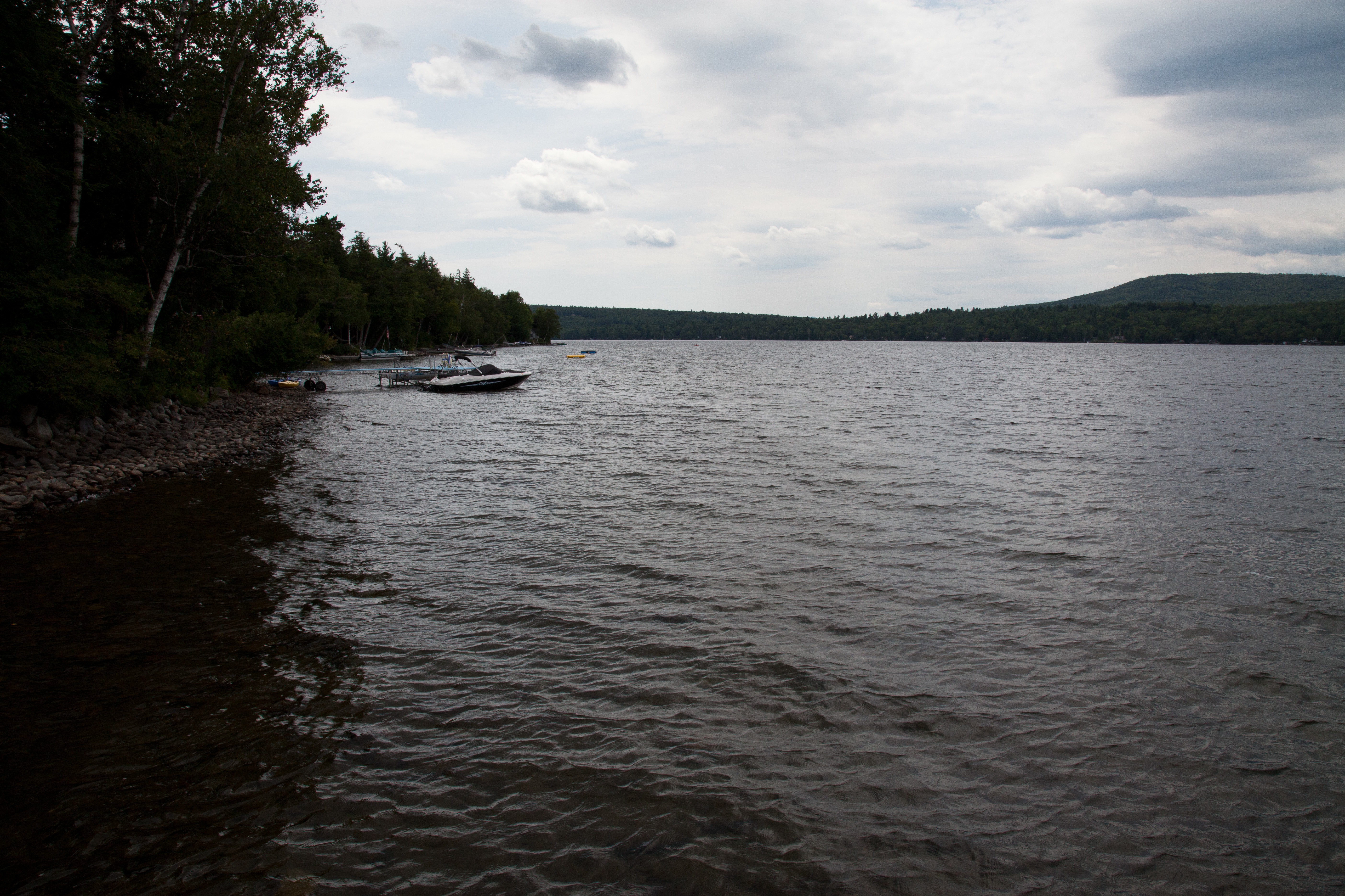
Emden Lake
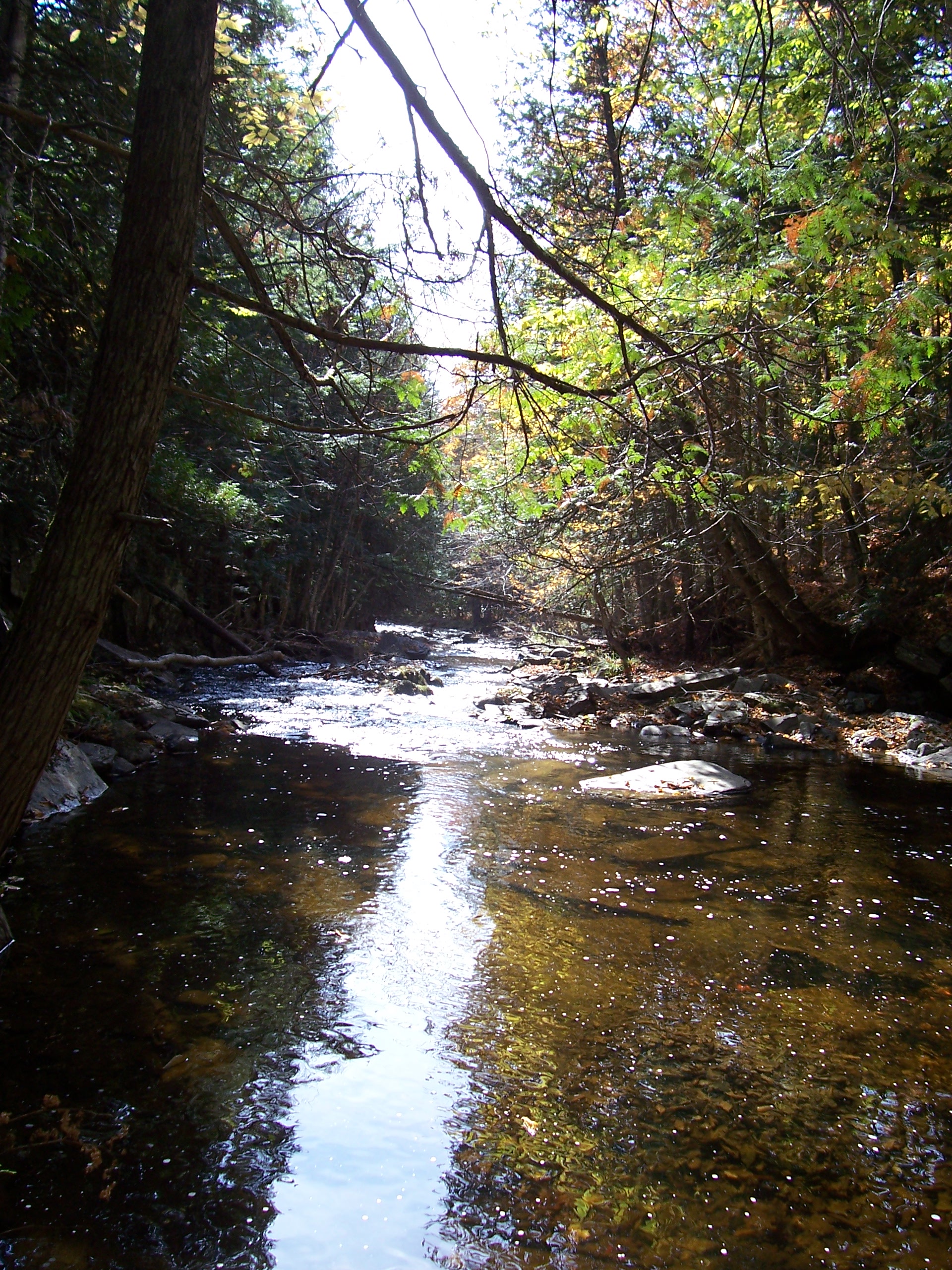
Corson Stream 6

Houston Brook Falls

Michael navigates the rocks

Emden Lake

2012-07-31 14.11.24

Matt and the falls

pond reflections

falls in the woods

low trees

luge-type rock formation

duck in the pond
Topographic Map of Drury Rd, Solon, ME, USA
Find elevation by address:

Places near Drury Rd, Solon, ME, USA:
112 Drury Rd
118 Eaton Hill Rd
117 Grant Rd
130 French Hill Rd
130 French Hill Rd
130 French Hill Rd
S Solon Rd, Solon, ME, USA
275 S Solon Rd
275 S Solon Rd
280 S Solon Rd
280 S Solon Rd
280 S Solon Rd
280 S Solon Rd
280 S Solon Rd
285 S Solon Rd
287 S Solon Rd
287 S Solon Rd
320 S Solon Rd
290 S Solon Rd
295 S Solon Rd
Recent Searches:
- Elevation of Corso Fratelli Cairoli, 35, Macerata MC, Italy
- Elevation of Tallevast Rd, Sarasota, FL, USA
- Elevation of 4th St E, Sonoma, CA, USA
- Elevation of Black Hollow Rd, Pennsdale, PA, USA
- Elevation of Oakland Ave, Williamsport, PA, USA
- Elevation of Pedrógão Grande, Portugal
- Elevation of Klee Dr, Martinsburg, WV, USA
- Elevation of Via Roma, Pieranica CR, Italy
- Elevation of Tavkvetili Mountain, Georgia
- Elevation of Hartfords Bluff Cir, Mt Pleasant, SC, USA