| Latitude: | 36.0350382 |
|---|---|
| Longitude: | -118.771695 |
| Elevation: | 385 meters / 1263 feet |
| Barometric Pressure | 968KPa |
Related Photos

A Thing of Beauty is a Joy Forever...

A panoramic view from the hillside above the smelters. The Tule riverbed is below us. #iphone6 #iphonephotography #panorama #magnesite #magnesitemine #hdr
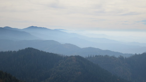
Blue ridge blues

country roads
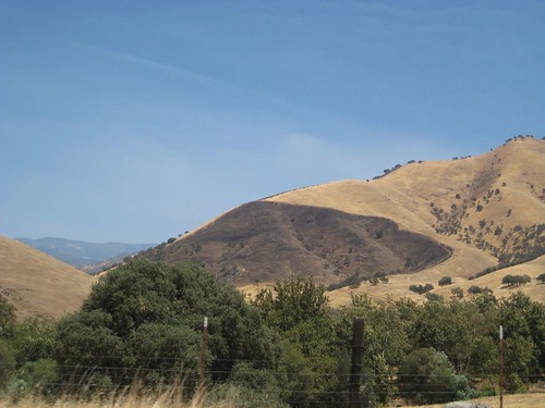
burnt side

Loo with a view (HDR Panorama)

Here is a view of how the smelters are situated on the side of the hill above the large concrete loading platform. This is looking from the North. #nikond3200 #magnesitemine #magnesite #smelter #industrialruins

Ferruginous Hawk
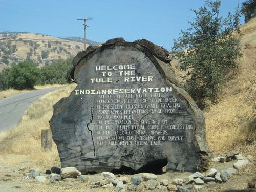
trunk sign

Historická stanice na cestě za zlatem

ValleyEx (56)
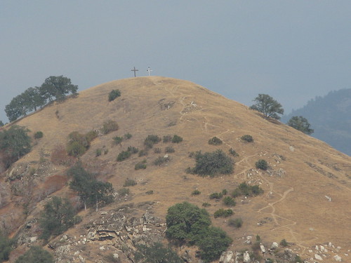
Great Energy B & B a86

Great Energy B & B a85

Zapomenutá hospoda

A indiánů

Great Energy B & B a83

Pestrobarevná výzdoba

A zvířátek :)

Jméno původně značilo havraní hlas

Jezero Kaweah

Památník místího průzkumníka

A view from Solo Peak trail. #campnelson

Great view

Lizards In Those Rocks

Another panorama of Success Valley. #hdr #iphonephotography #panorama #magnesite #magnesitemine #successvalley

Here is a shot from the same angle with Carson (5'2" tall) standing in front of it to show scale. #industrialruins #smelter #magnesite #magnesitemine #nikond3200

Tiny chairs overlook the waterfall beneath our cabin

This is a panoramic shot looking west directly at the smelters and dock complex. Jacob is sitting on the edge for scale. The spur line would have run just in front of him along the dock.

Fall color in the Tule

Sequoia National Park
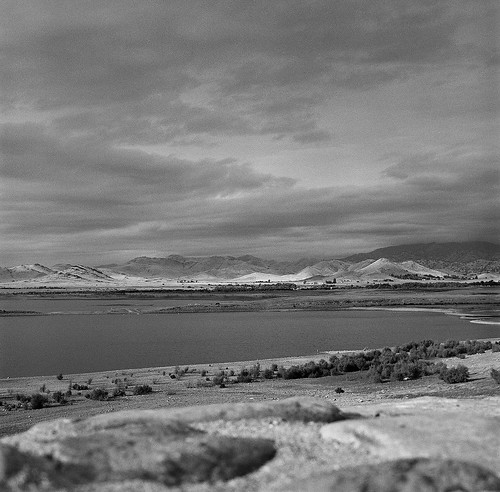
Success Lake Storm

The Greenhorns (HDR)

Time passing

Sequoia National Park
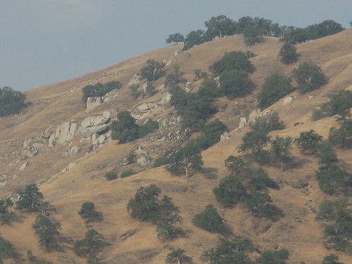
Great Energy B & B a68

Sequoia National Forest

Sequoia National Park

Sequoia National Forest

Sequoia National Forest

Sequoia National Forest

Sequoia National Forest

Sequoia National Forest

Yeah, its big
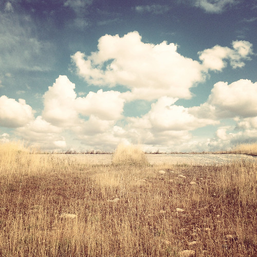
Boat Launch

Sequoia National Forest

Mono Lake,

Great Energy B & B a66

IMG_1431
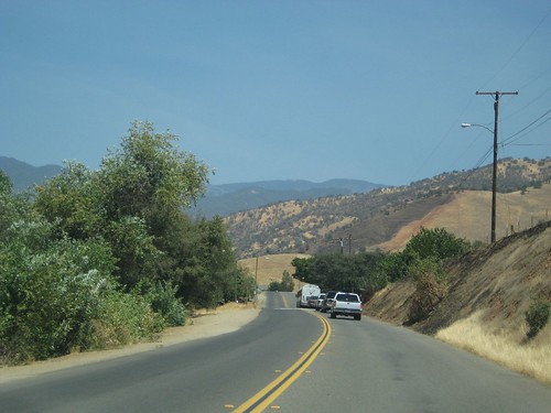
on way to tule reservation

Great Energy B & B a72