Elevation of Rocking K Dr, California Hot Springs, CA, USA

Location: United States > California > Tulare County > California Hot Springs >

Longitude: -118.63512

Latitude: 35.869346

Elevation: 1219m / 3999feet

Barometric Pressure: 88KPa

Elevation Map:

elevation map of Rocking K Dr, California Hot Springs, CA, USA
Satellite Map:

Satellite map of Rocking K Dr, California Hot Springs, CA, USA
Related Photos:

california sky mountain plant rock america river bush rapids freshwater kernriver kerncounty postedonflickr salmoncreekfalls photosbydavid jfflickr usa tree water unitedstates
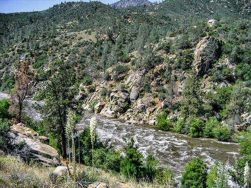
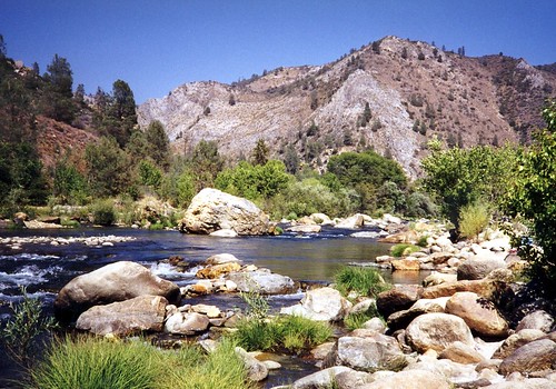
View From Salmon Creek Falls Trail 02
california holiday nationalpark panorama sequoianp usa widescreen kings canyon canon nature scenic scenicview eos flickr flickrtravelaward beautiful beautifulearth beauty natuur ngc chrisvankan cvk cvkphotography chris van kan photography best outdoor theroom
Kings Canyon, California USA
america california sky usa mountain plant tree rock bush unitedstates kerncounty postedonflickr salmoncreekfalls photosbydavid jfflickr unitedstatesofamerica kernville
View From Salmon Creek Falls Trail 04 (Alien In The Bushes)
america california kerncounty kernriver salmoncreekfalls usa unitedstates bush freshwater jfflickr mountain photosbydavid plant postedonflickr rapids river rock sky tree water kernville unitedstatesofamerica
View From Salmon Creek Falls Trail 03
america california kerncounty salmoncreekfalls usa unitedstates bush freshwater jfflickr mountain photosbydavid postedonflickr rock tree water waterfall kernville unitedstatesofamerica
View From Salmon Creek Falls Trail 05
sierranevada greenhornmountains california kernrivercanyon kerncanyon
Baker Point
longexposure astrophotography astronomy milkyway
Southern Milky Way
canon astrophotography astronomy milkyway
South View from CA Hot Springs
leo galaxy astrophotography astronomy messier
Around M105 With Labels
astrophotography astronomy milkyway
New 14mm Lens
california mountain plant america bush freshwater kernriver kerncounty photosbydavid jfflickr sky usa tree water rock river unitedstates rapids postedonflickr salmoncreekfalls postedonfb
View From Salmon Creek Falls Trail 01
usdepartmentofagriculture unitedstatesdepartmentofagriculture usda“departmentofagriculture” forest nationalforest fire wildfire wildland forestfire cedar usforestservice fs forestservice unitedstatesforestservice kernville lakeisabella kernriver tularecounty kerncounty bakersfield posey panoramaheights sugarloaf california ca ponderosa treemorality pinesequoiaredwood adaptivemanagementservicesenterpriseteam amset firebehaviorassessmentteam fbat
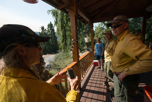
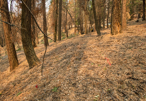
20160824-FS-LSC-0040
usdepartmentofagriculture unitedstatesdepartmentofagriculture usda“departmentofagriculture” forest nationalforest fire wildfire wildland forestfire cedar usforestservice fs forestservice unitedstatesforestservice kernville lakeisabella kernriver tularecounty kerncounty bakersfield posey panoramaheights sugarloaf california ca ponderosa treemorality pinesequoiaredwood adaptivemanagementservicesenterpriseteam amset firebehaviorassessmentteam fbat
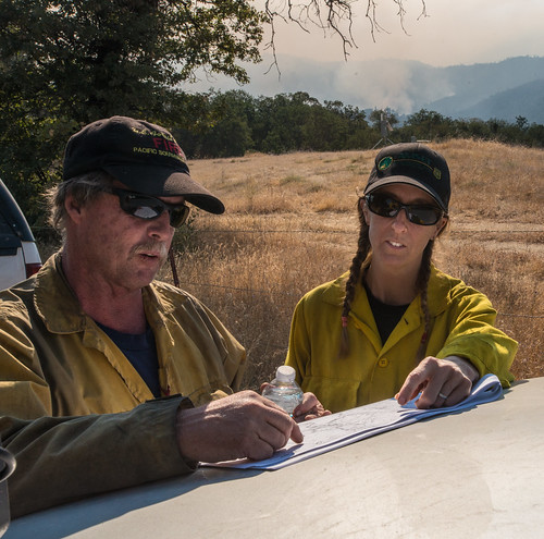
20160824-FS-LSC-0008
california kernriver tularecountyca dgrahamphoto johnnymcnallys
Kern River, Johnny McNally's CA 1998
california nebula m45 pleiades
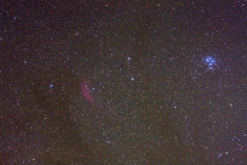
M45 and California Nebula
stars cluster astrophotography astronomy
M38 Widefield
sierranevada california bakerpoint southernsierra
The great canyon of the Kern
sierranevada california kernrivercanyon kerncanyon
Ant Canyon and greater canyon of the Kern
california blue flower detail macro nature closeup forest outdoors spring flora insects annual sierranevada exploration wildflower discovery riparian blooming sequoianationalforest pholistomaauritum creekside fiestaflower tylercreek tularecounty giantsequoianationalmonument bluefiestaflower zoniedude1 canonpowershotg11 earthnaturelife blueandbuggy 3400feetelevation
Blue and Buggy
california blue flower detail macro nature closeup forest outdoors spring flora wildflowers sierranevada exploration discovery riparian blooming sequoianationalforest creekside tylercreek tularecounty giantsequoianationalmonument nemophilapulchella eastwoodsbabyblueeyes zoniedude1 canonpowershotg11 earthnaturelife 3400feetelevation bloomingbluebeauties
Blooming Blue Beauties
geocoded sierra needles sequoia rranch
No Fireworks necessary
sierranevada california bakerpoint southernsierra
Overlook above the Kern
sierranevada california bakerpoint southernsierra
A canyon meets the desert
sierranevada greenhornmountains california kernrivercanyon kerncanyon
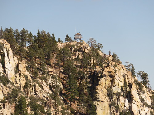
Baker Point Lookout
bakerpoint southernsierra california sierranevada kerncanyon kernrivercanyon
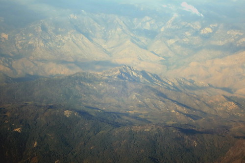
Baker Point from the air
blackandwhite bw usa mountain nature monochrome america creek unitedstates bwphotography tylercreek tularecounty postedonflickr photosbydavid postedonello davidseiboldno2 parkerpassroad postedonsmugmug water freshwater
The Road Less Traveled (B/W)
california kernriver tularecountyca dgrahamphoto
Kern River, CA 9-1998
greenhornmountains california sierranevada southernsierra kerncanyon
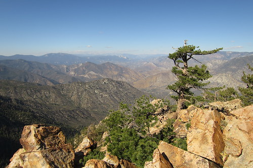
Lone Tree
california blue sunset usa lake mountains reflection water weather clouds sunrise river waterfall rainbow rocks easternsierras kernville sequoianationalforest lakeisabella kernvalley valleyof100giants
"Reflecting" on a beautiful weekend in the Kern Valley, Kernville
california america kernriver tularecountyca dgrahamphoto
Kern River, CA 1998
usdepartmentofagriculture unitedstatesdepartmentofagriculture usda“departmentofagriculture” forest nationalforest fire wildfire wildland forestfire cedar usforestservice fs forestservice unitedstatesforestservice kernville lakeisabella kernriver tularecounty kerncounty bakersfield posey panoramaheights sugarloaf california ca ponderosa treemorality pinesequoiaredwood adaptivemanagementservicesenterpriseteam amset firebehaviorassessmentteam fbat
20160824-FS-LSC-0387
usdepartmentofagriculture unitedstatesdepartmentofagriculture usda“departmentofagriculture” forest nationalforest fire wildfire wildland forestfire cedar usforestservice fs forestservice unitedstatesforestservice kernville lakeisabella kernriver tularecounty kerncounty bakersfield posey panoramaheights sugarloaf california ca ponderosa treemorality pinesequoiaredwood adaptivemanagementservicesenterpriseteam amset firebehaviorassessmentteam fbat
20160824-FS-LSC-0385
usdepartmentofagriculture unitedstatesdepartmentofagriculture usda“departmentofagriculture”forest“nationalforest
20160824-FS-LSC-0466
california kernriver tularecountyca dgrahamphoto johnnymcnallys
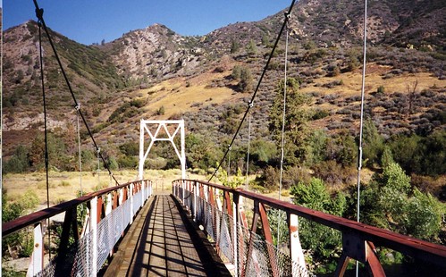
Kern River Bridge, Johnny McNally's, CA 1998
usdepartmentofagriculture unitedstatesdepartmentofagriculture usda“departmentofagriculture”forest“nationalforest
20160824-FS-LSC-0509
greenhornmountains sierranevada southernsierra greatwesterndivide california
Stormy weather over the Southern Sierra
kernriverwaterslides
Kern River Waterslides 002
sierranevada california kernrivercanyon kerncanyon
The Lonely Kern