Elevation of S Mountain Rd, Northfield, MA, USA
Location: United States > Massachusetts > Franklin County > Northfield >
Longitude: -72.417733
Latitude: 42.6387457
Elevation: 379m / 1243feet
Barometric Pressure: 97KPa
Elevation Map:
Satellite Map:
Related Photos:

looking west

fast friends

Morning on the canal view 3
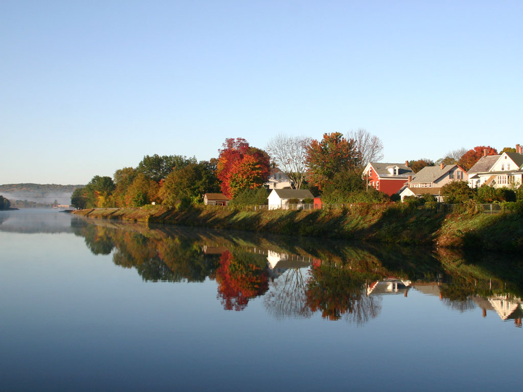
Morning on the canal view 2

In the Rowland Studio Theater. Beautiful space, beautiful views.

Despite the Snow

water music
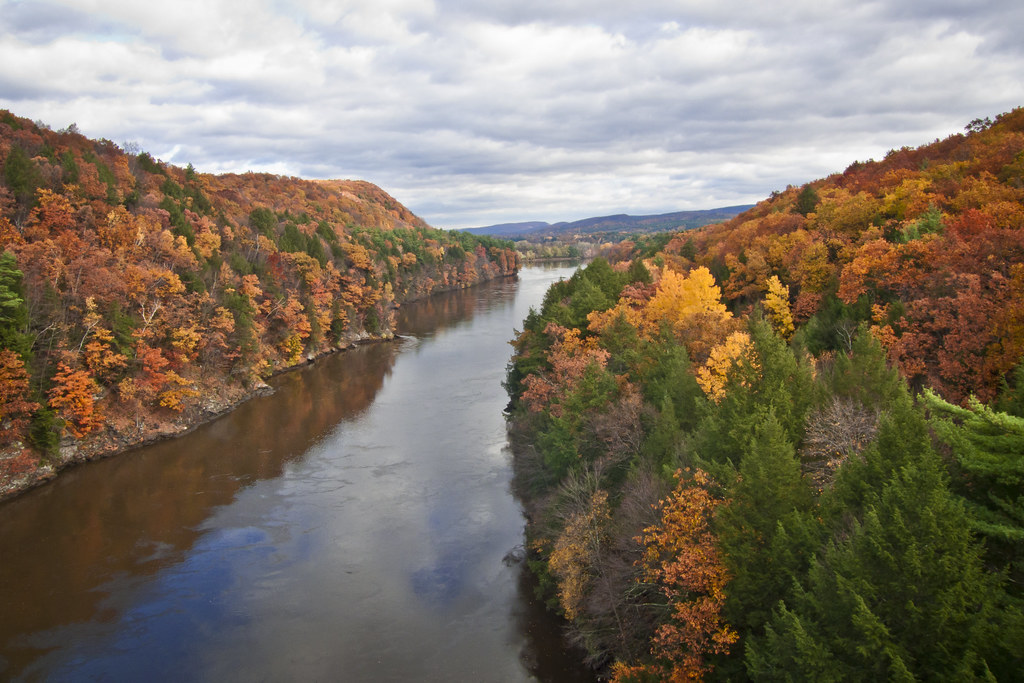
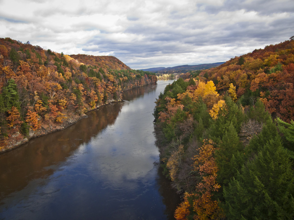
Autumn Foliage Scenery viewed from French King Bridge

Panoramic Autumn Foliage Scenery viewed from French King Bridge

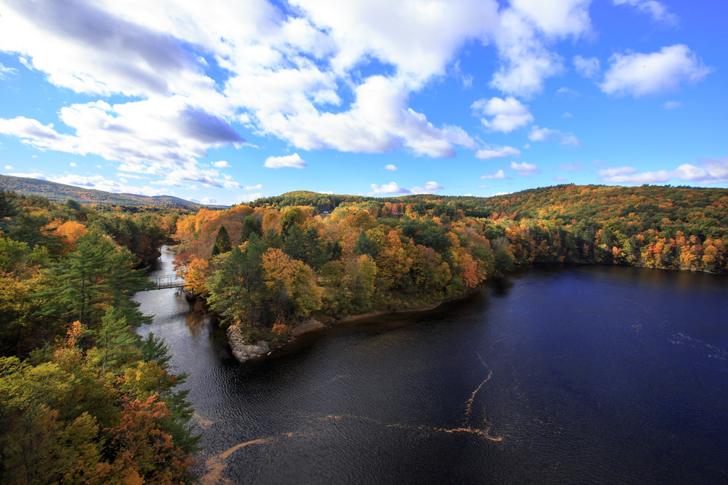
Connecticut River
Autumn View from Fench King Bridge, MA
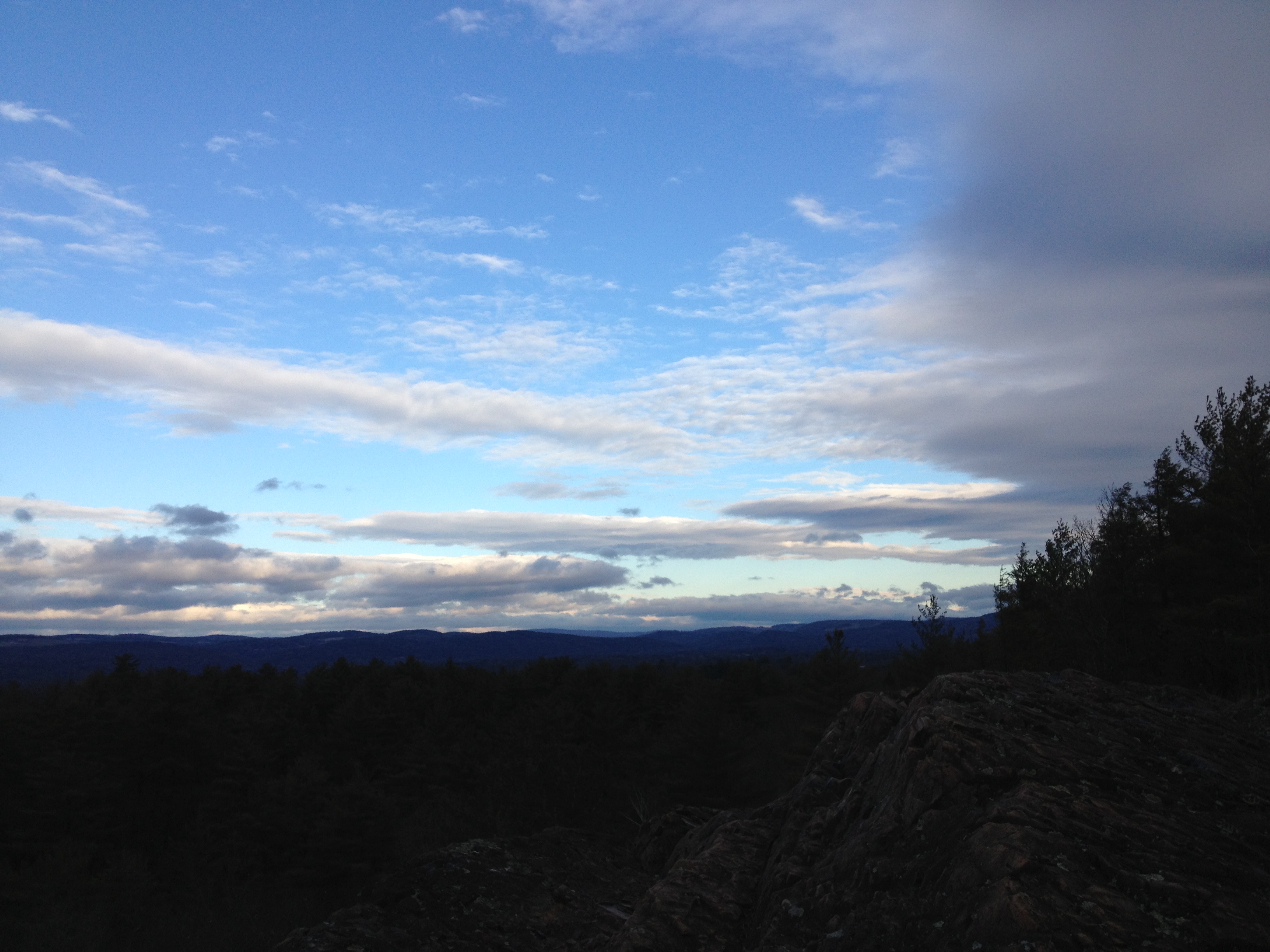
The view north

Leaves on the River

View for a Walk
view off bridge
Bear's Den
CT River View

Last view of Cabot Station from the living room
A North View of Connecticut River on the bridge
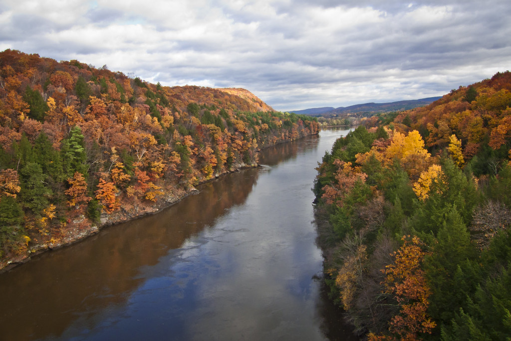
Autumn Foliage Scenery viewed from French King Bridge
Autumn Foliage Scenery viewed from French King Bridge

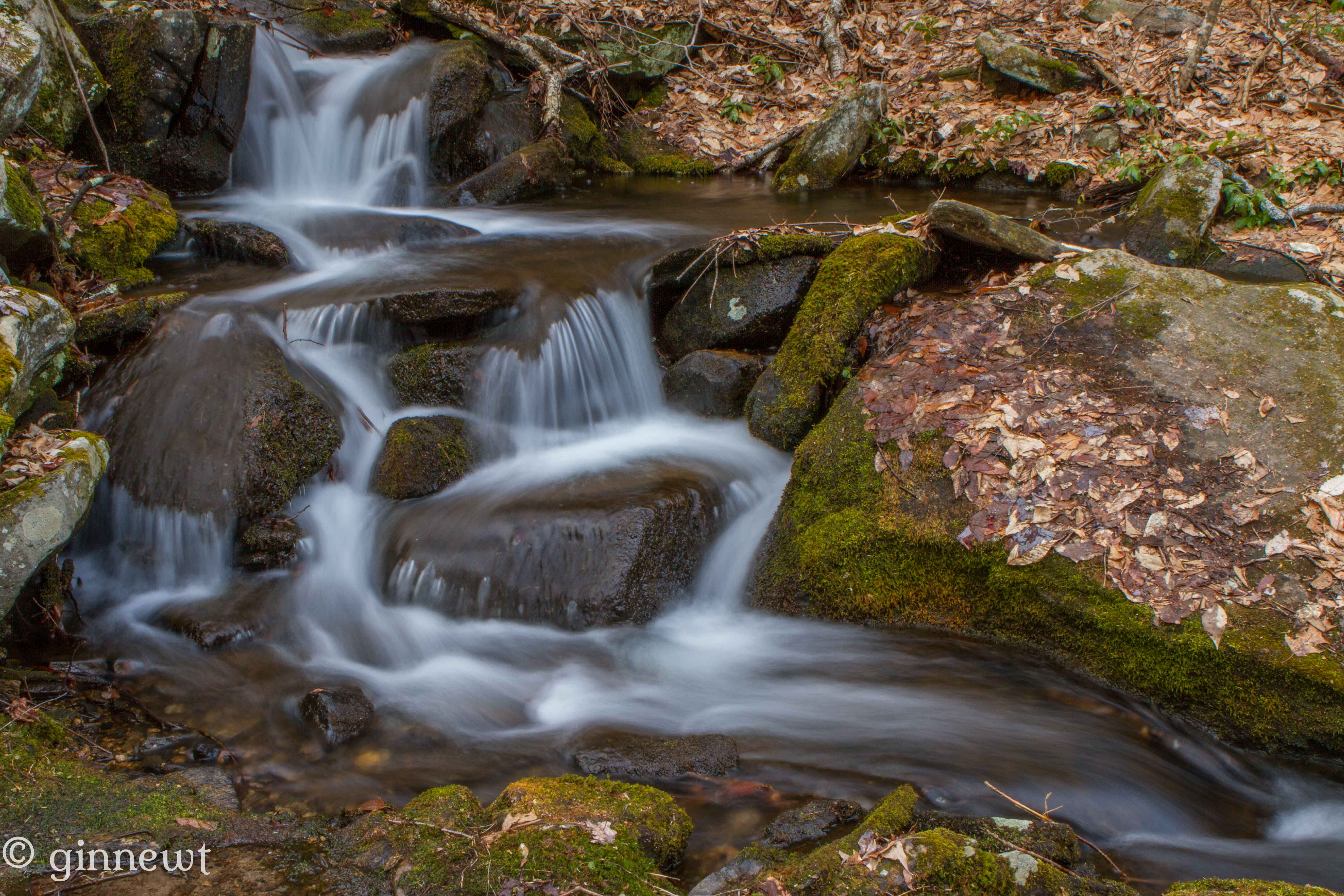
Roaring Brook - Winchester NH

Adieu... 2013 Autumn

Sunlit Trees on the Bank

broad majestic days
Oh, No!
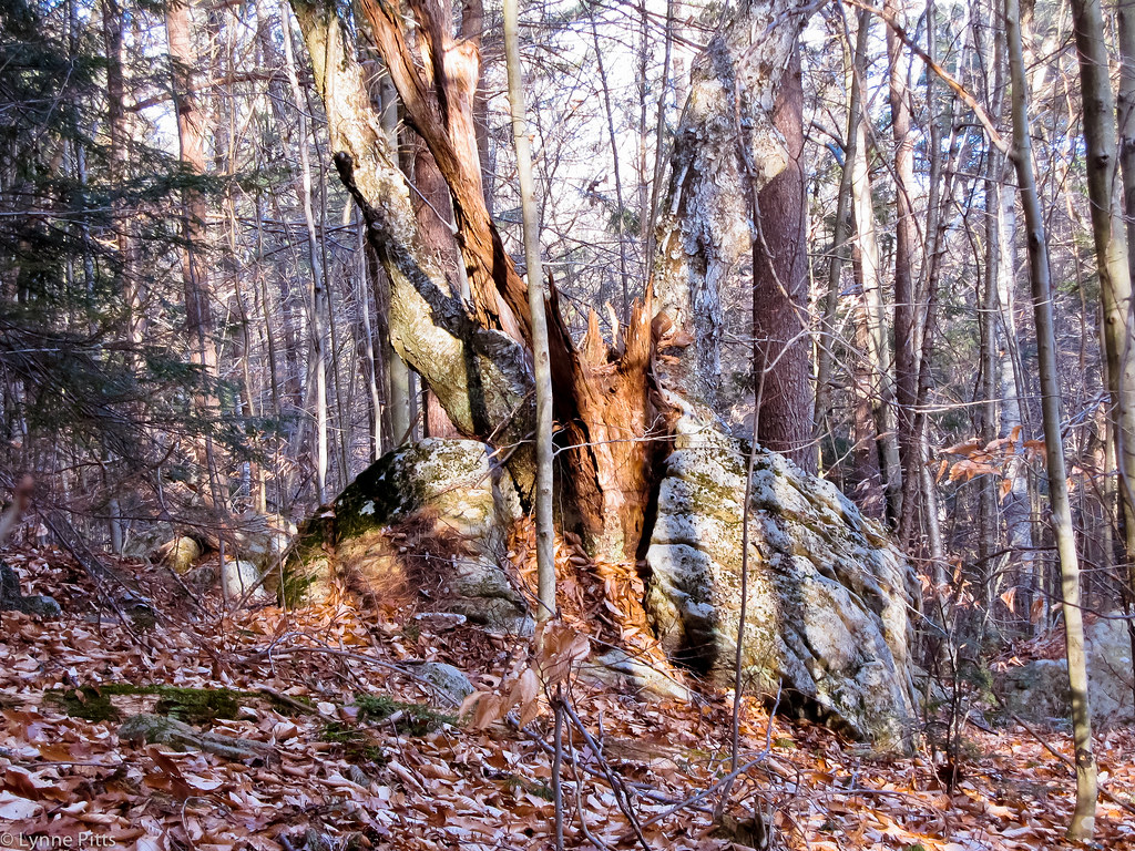
BFR Split by Tree

Blue Light Special
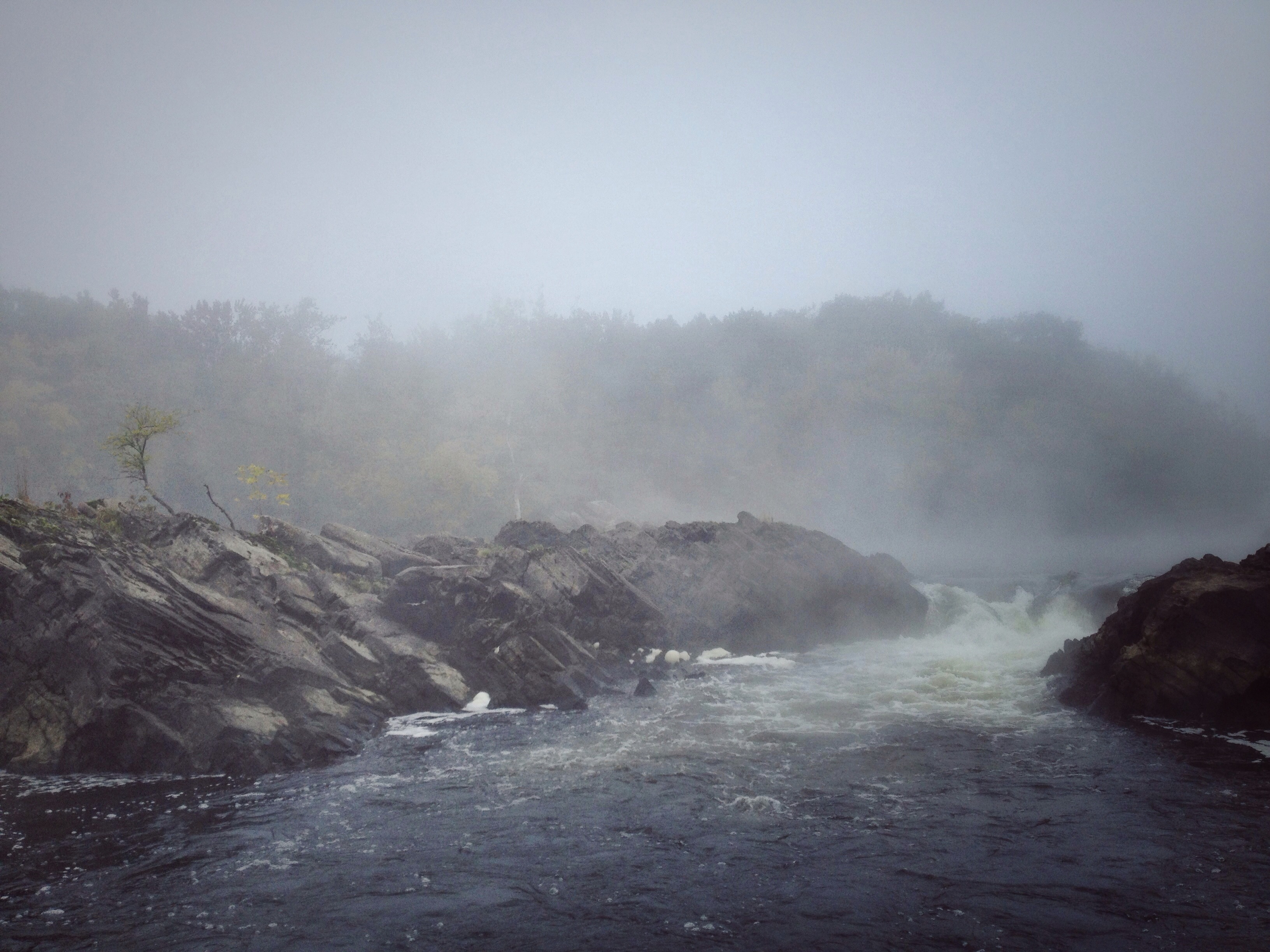
Rock Dam

French King Bridge I

Millers River

Railroad Bridge

French King Bridge II

@jlef423 on a train
24 May 2014
Into the Den

I love this place ❤#Northfield #MA #love
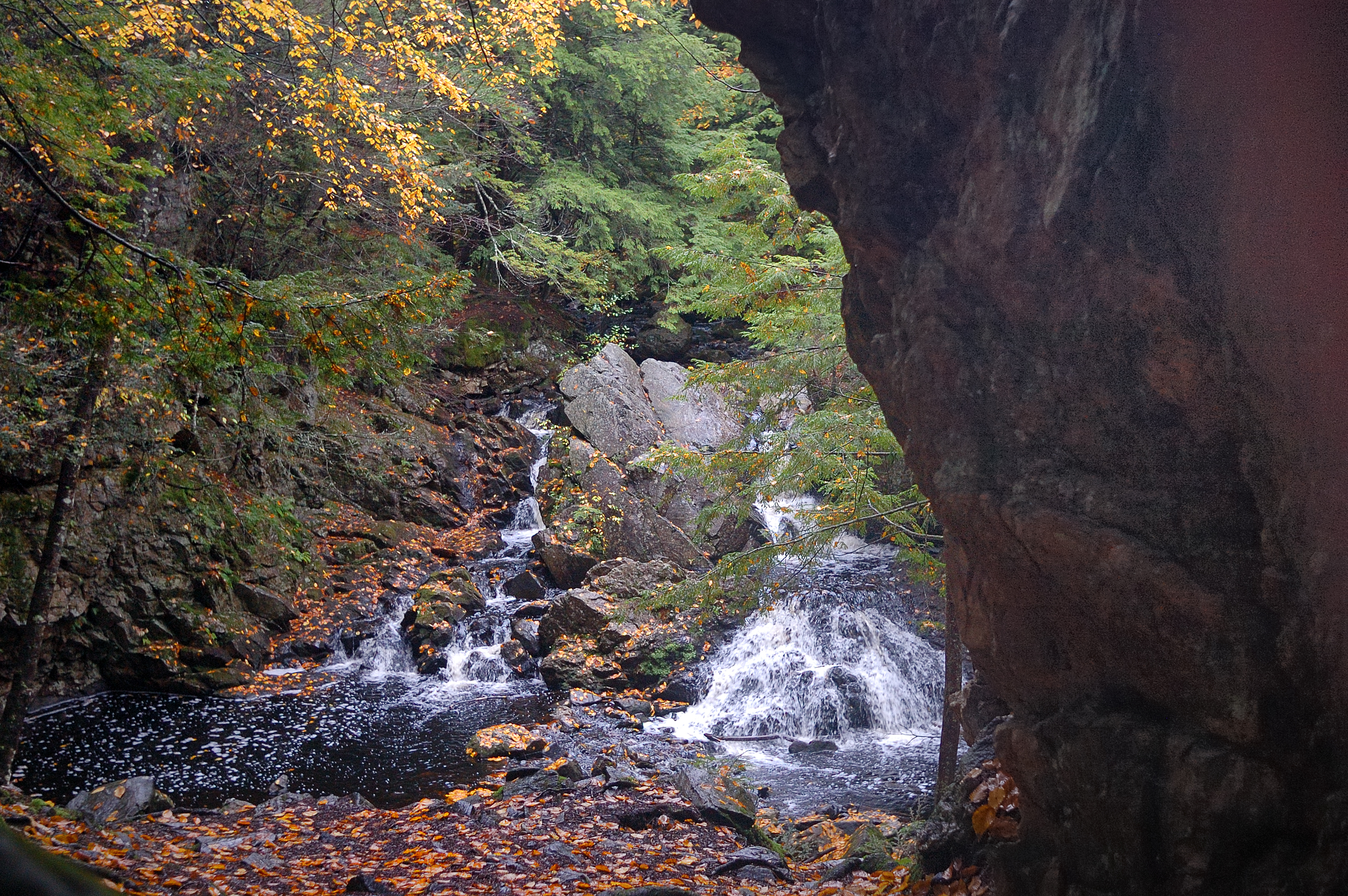
Briggs Brook Falls
Topographic Map of S Mountain Rd, Northfield, MA, USA
Find elevation by address:

Places near S Mountain Rd, Northfield, MA, USA:
W Orange Rd, Orange, MA, USA
770 Wendell Rd
Warwick
1 Wendell Depot Rd, Wendell, MA, USA
Wendell
55 Morse Village Rd
882 Orange Rd
Orange
Orange
Lake Mattawa
200 Mechanic St
200 S Main St
285 Main St
Orange
74 Harrison Ave
84 Elm St, New Salem, MA, USA
511 E River St
Fay Road
585 E River St
125 E Rd
Recent Searches:
- Elevation of Corso Fratelli Cairoli, 35, Macerata MC, Italy
- Elevation of Tallevast Rd, Sarasota, FL, USA
- Elevation of 4th St E, Sonoma, CA, USA
- Elevation of Black Hollow Rd, Pennsdale, PA, USA
- Elevation of Oakland Ave, Williamsport, PA, USA
- Elevation of Pedrógão Grande, Portugal
- Elevation of Klee Dr, Martinsburg, WV, USA
- Elevation of Via Roma, Pieranica CR, Italy
- Elevation of Tavkvetili Mountain, Georgia
- Elevation of Hartfords Bluff Cir, Mt Pleasant, SC, USA