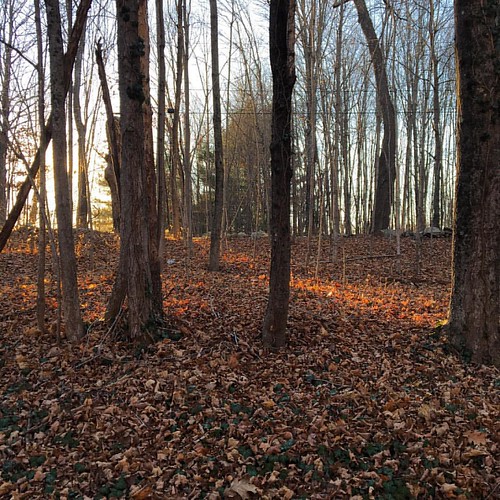
Elevation of 1 Wendell Depot Rd, Wendell, MA, USA
Location: United States > Massachusetts > Franklin County > Wendell >

Longitude: -72.397102

Latitude: 42.5485114

Elevation: 354m / 1161feet

Barometric Pressure: 97KPa

Elevation Map:

elevation map of 1 Wendell Depot Rd, Wendell, MA, USA

Satellite Map:

Satellite map of 1 Wendell Depot Rd, Wendell, MA, USA

Related Photos:

14k
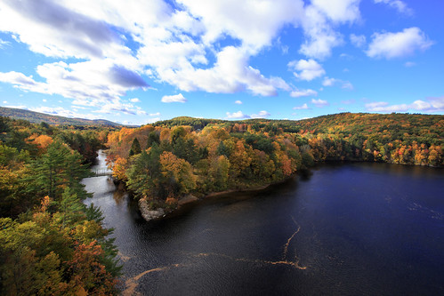
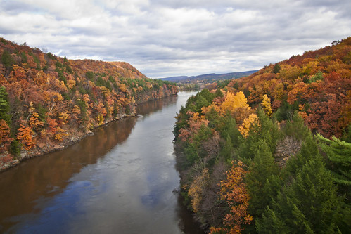
Panoramic Autumn Foliage Scenery viewed from French King Bridge
autumn america ma drive us driving unitedstates outdoor hiking weekend massachusetts autumnleaves foliage mohawktrail erving canonef1635mmf28liiusm img624273 frenchkindbridge
Autumn View from Fench King Bridge, MA
camera food alex beer heineken photography bottle view large places commercial alcohol 4x5 format hallmark toyo minkin
Commercial Heineken Bottle 1
reflection fall water canal massachusetts falls foliage turnersfalls turners westernmass pioneervalley
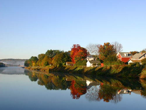
Morning on the canal view 3
Despite the Snow
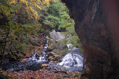
water waterfall stream duet gorge middlebranch swiftriver ttor bearsdenfalls
water music
14k worldwidelandscapes
Autumn Foliage Scenery viewed from French King Bridge
winter race running run 10k runners racers newyearsday 2013 sawmillriverrun2013
Sawmill River Run
Black bellied Plovers
autumn river massachusetts newengland
Connecticut River
Black bellied Plovers
Black bellied Plovers with Dunlin
autumn massachusetts newengland
Leaves on the River
Black bellied Plovers
The view north
Black bellied Plovers with Dunlin
Black bellied Plovers
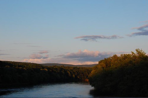
view off bridge
bridge autumn sunset sky cloud reflection fall water leaves canon river landscape unitedstates massachusetts gps goldentime longexposures millersfalls gpslatitude newenglend gpslongitude ef1635mmf28llens
French King Bridge I
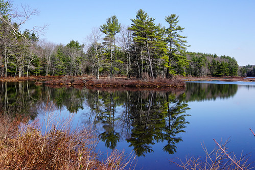
landscape massachusetts sony petersham a6000 harvardpond sigma30mmf28 alpha6000
Harvard Pond, Western Massachusetts
bridge autumn sunset sky cloud color reflection fall leaves rock canon river photography jay unitedstates massachusetts f16 gps hdr goldentime millersfalls jaypark frenchkingbridge 5dmarkiii flickrsfinestimages1 ef1635mmf28llens
Adieu... 2013 Autumn
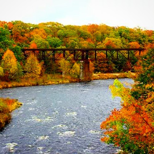
railroad bridge autumn trees fall nature colors leaves rural river landscape colorful massachusetts country seasonal fallfoliage uploaded:by=instagram
Railroad Bridge
bridge autumn sunset lake fall leaves yellow canon landscape unitedstates massachusetts f16 gps gill goldentime gnd frenchkingbridge gpslatitude 5dmarkiii gpslongitude ef1635mmf28llens
French King Bridge II
Morning Quabbin Glory
rockdam uploaded:by=flickrmobile flickriosapp:filter=nofilter
Rock Dam
Millers River
square lofi squareformat iphoneography instagramapp uploaded:by=instagram foursquare:venue=4f052cb0e5facc333de0f058
I love this place ❤#Northfield #MA #love
Into the Den
green fall water leaves canon waterfall rocks brook
Briggs Brook Falls
massachusetts sony a6000 harvardpond sigma30mmf28 alpha6000 ilce6000
Harvard Pond #2
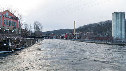
winter mill water canal massachusetts newengland industriallandscape turnersfalls montague
Hydro Canal
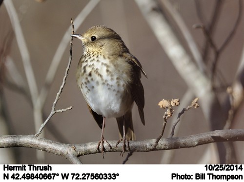
birds ma quabbinreservoir hermitthrush catharusguttatus
Hermit Thrush
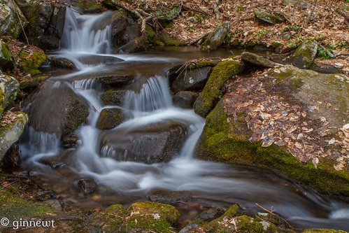
fall canon river rocks stream slow shutter
Trailside Cascade
bridge blue sunset ice water yellow architecture canon river iceflow
French King Bridge & an Ice Flow
square squareformat iphoneography instagramapp uploaded:by=instagram
watching the sunset, listening to killer mike, practicing my embroidery, and just living that #nofiltervacationlife #home #thankful
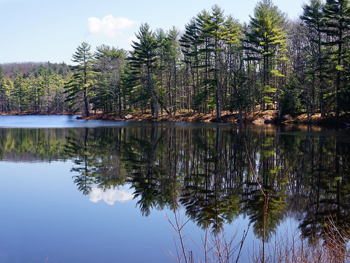
trees reflection tree silhouette canon river landscape
Reflecting on Trees