Elevation of 84 Elm St, New Salem, MA, USA
Location: United States > Massachusetts > Franklin County > New Salem >
Longitude: -72.318453
Latitude: 42.546254
Elevation: 175m / 574feet
Barometric Pressure: 99KPa
Elevation Map:
Satellite Map:
Related Photos:

Despite the Snow
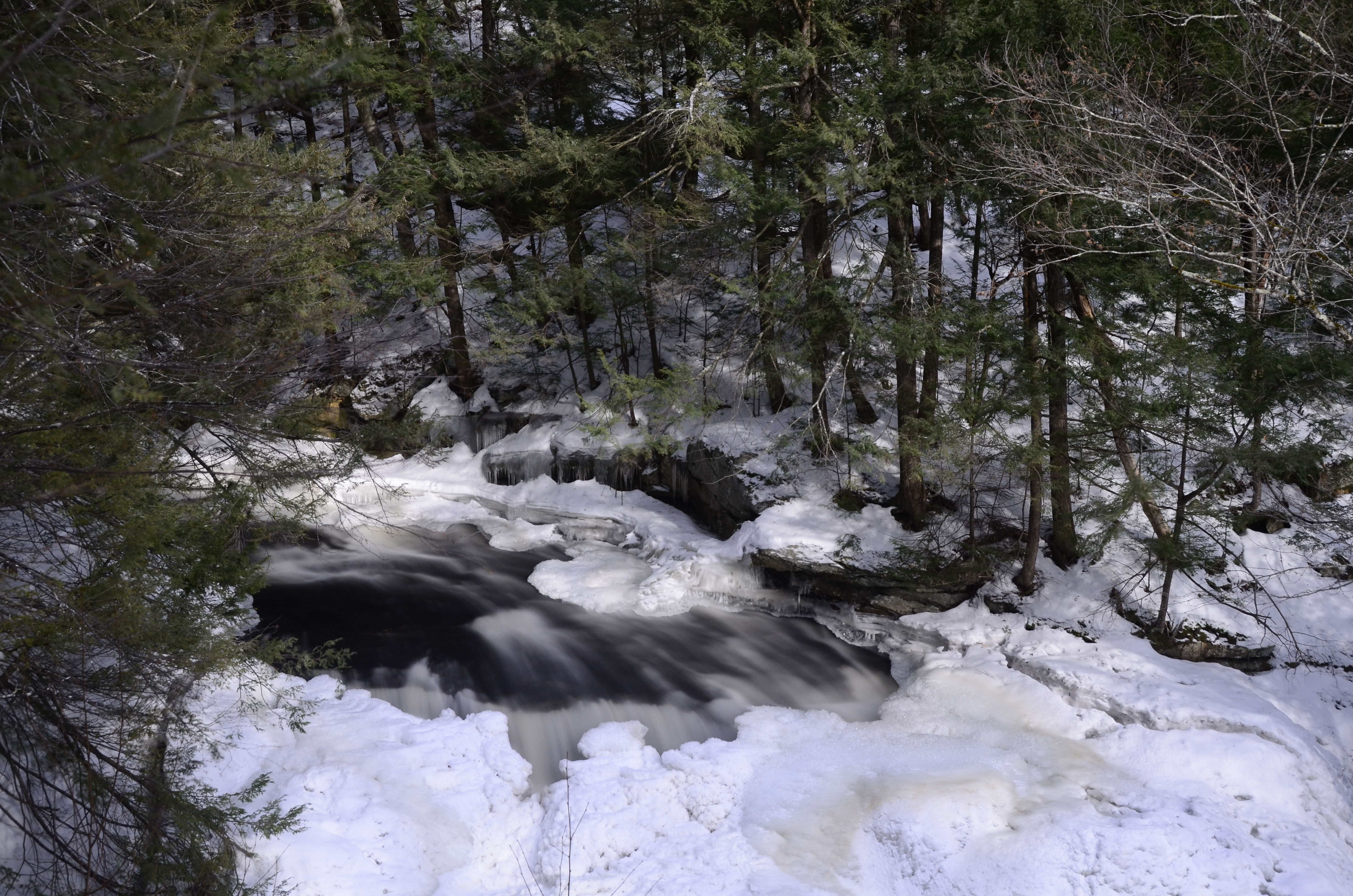
Doane's Falls (Spring Break!)
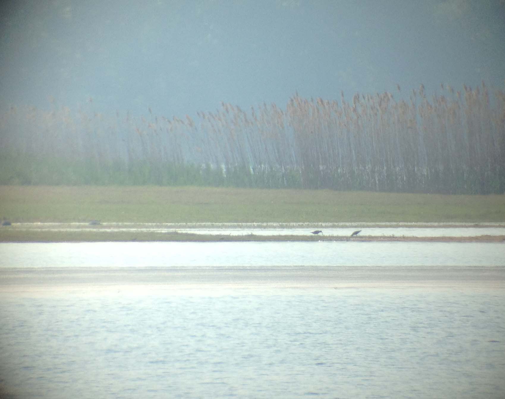
Black bellied Plovers
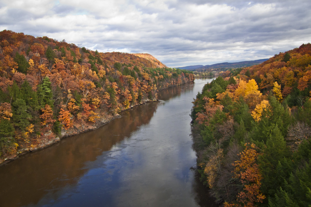
Autumn Foliage Scenery viewed from French King Bridge
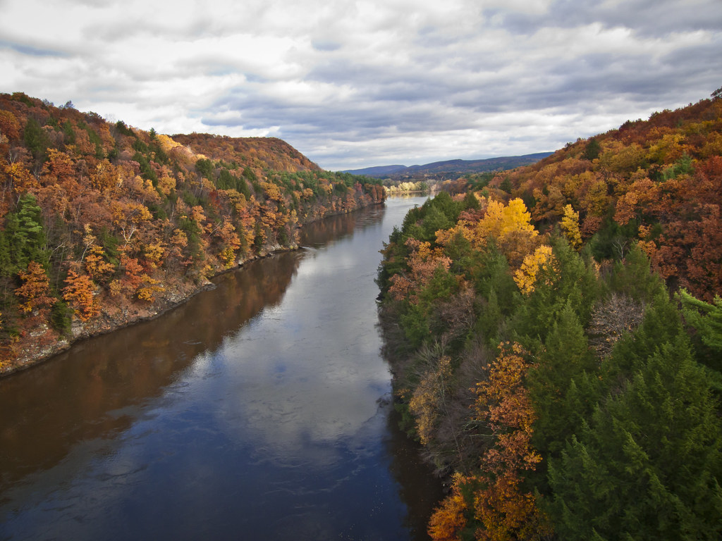
Autumn Foliage Scenery viewed from French King Bridge

water music
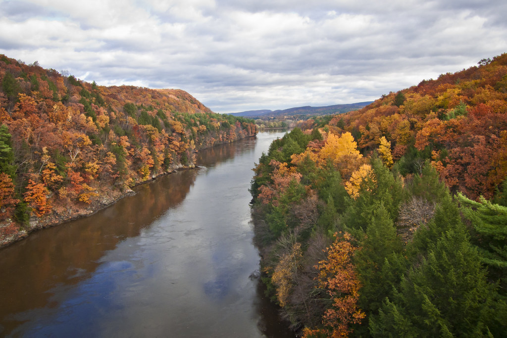
Autumn Foliage Scenery viewed from French King Bridge

Panoramic Autumn Foliage Scenery viewed from French King Bridge
Corner View
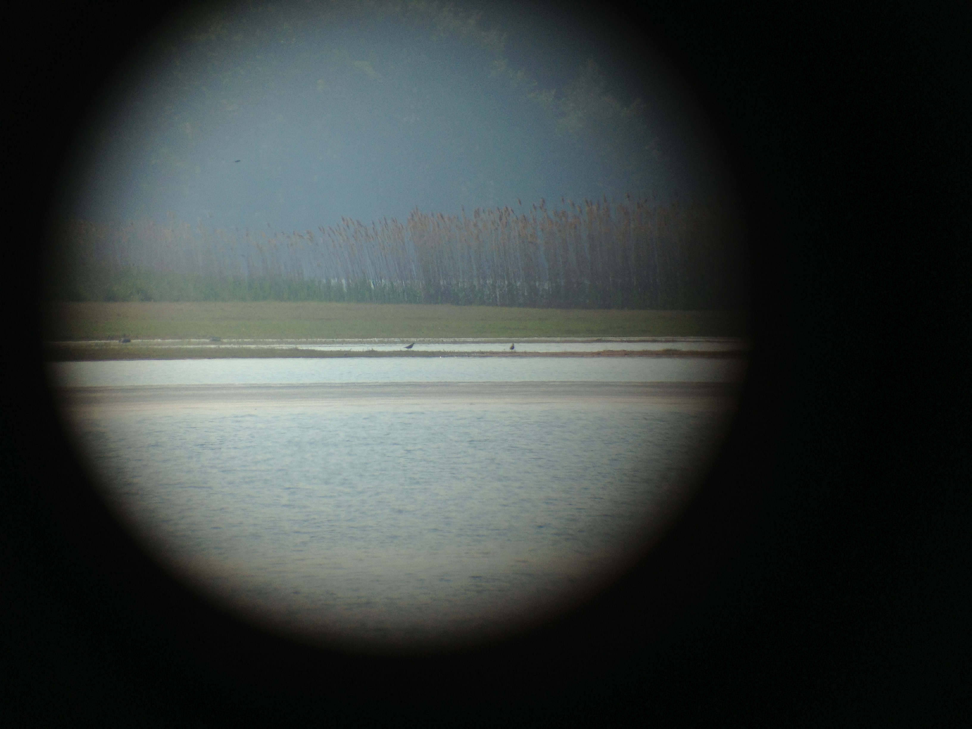
Black bellied Plovers

Connecticut River
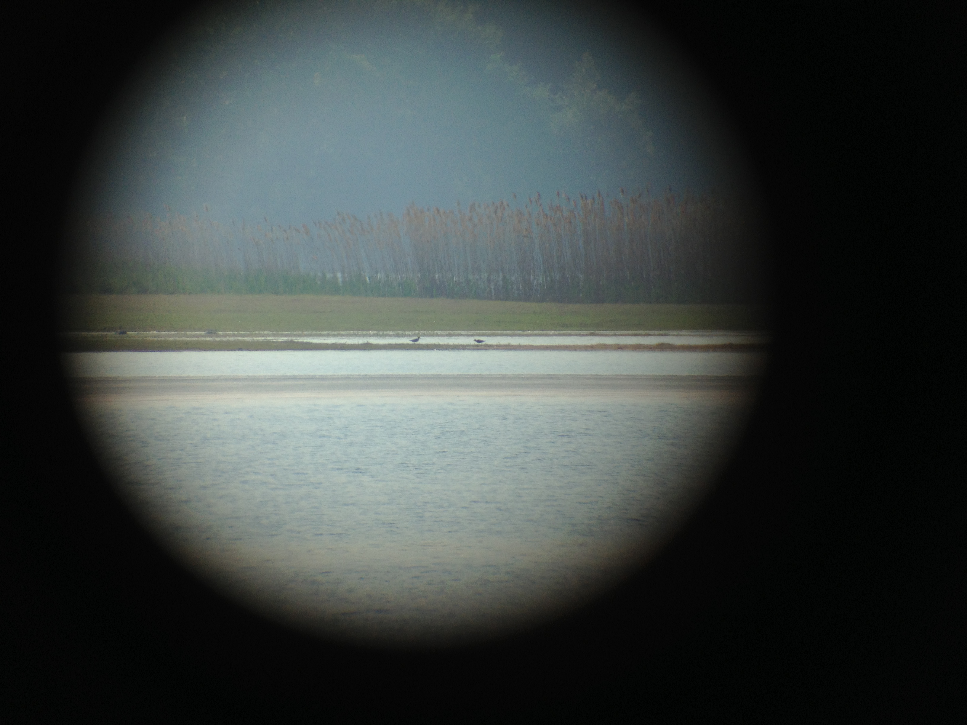
Black bellied Plovers
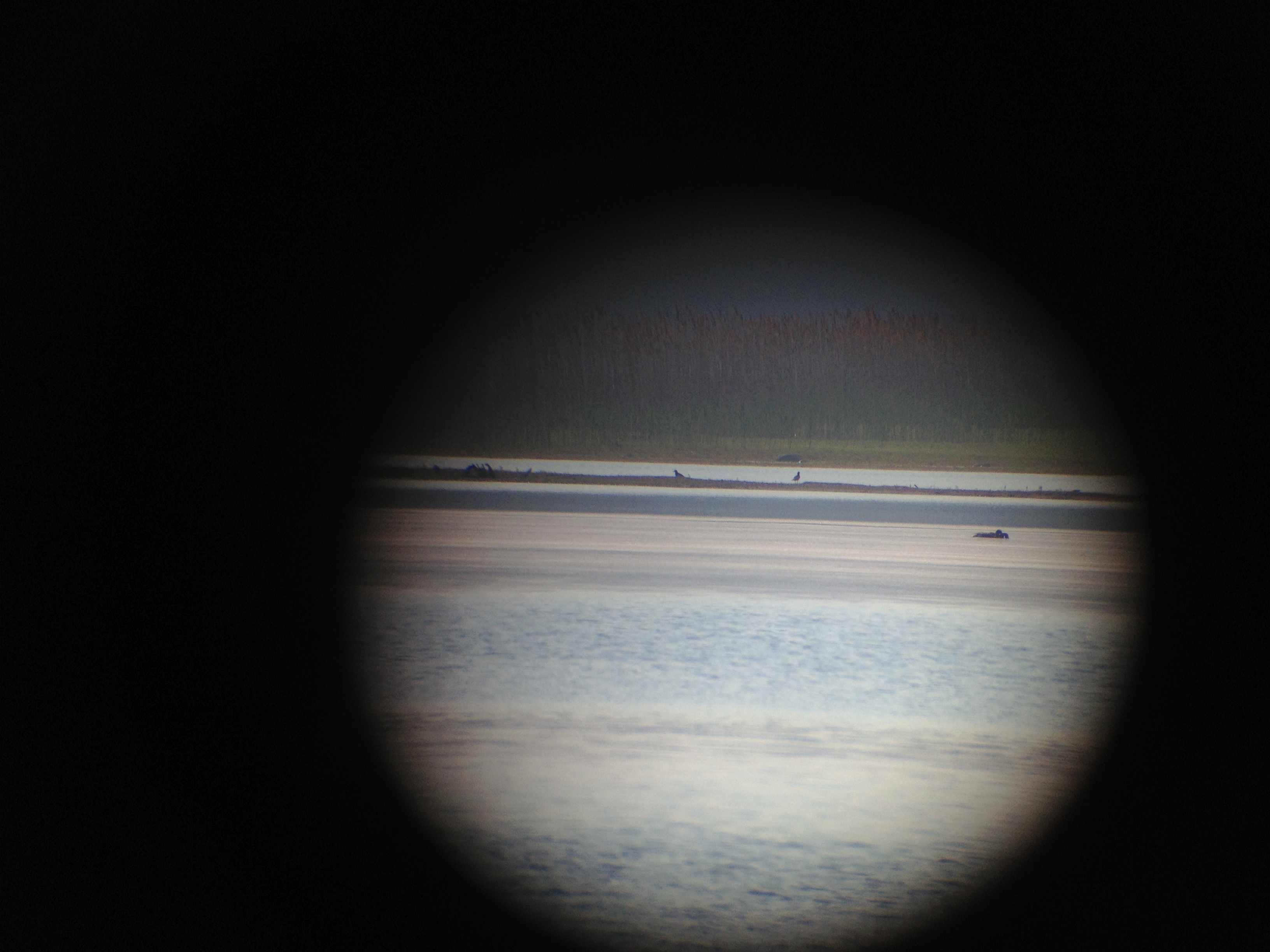
Black bellied Plovers

Black bellied Plovers
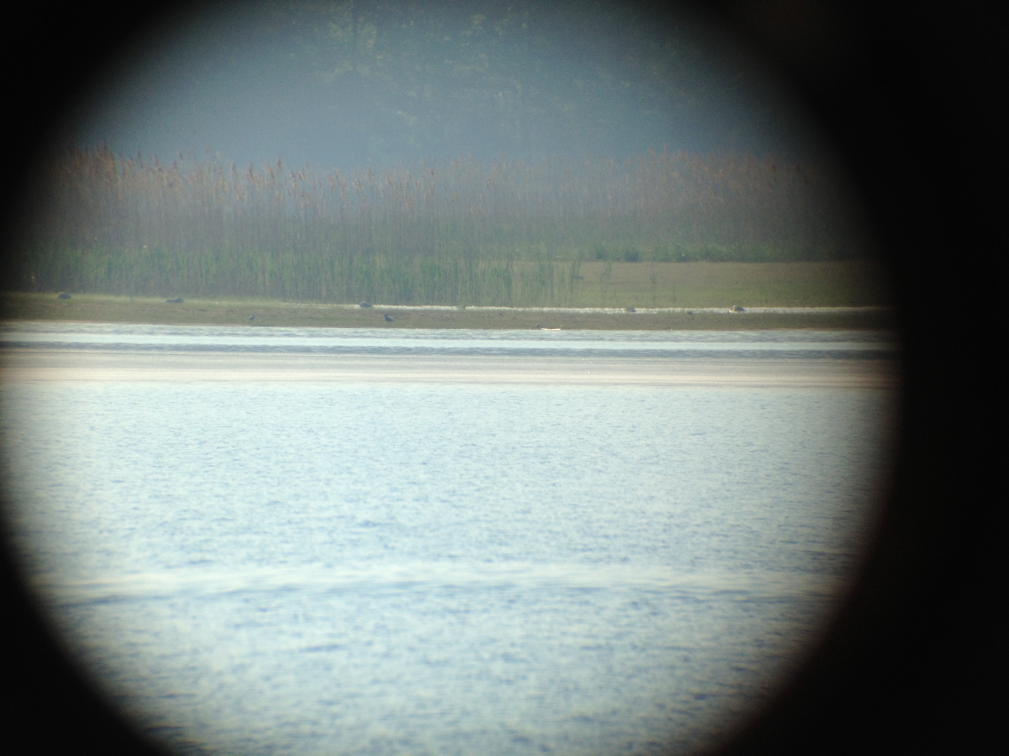
Black bellied Plovers with Dunlin
Black bellied Plovers with Dunlin
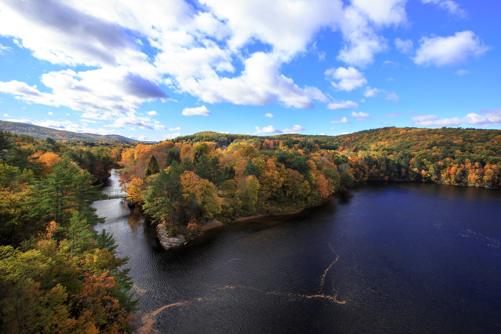
Autumn View from Fench King Bridge, MA
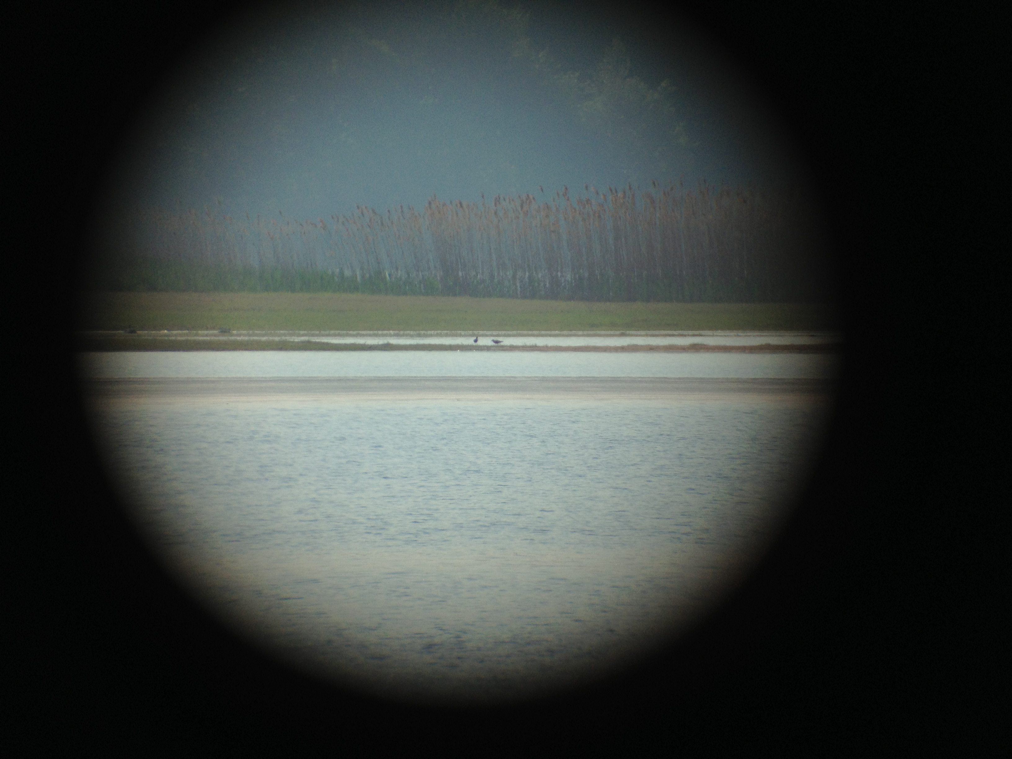
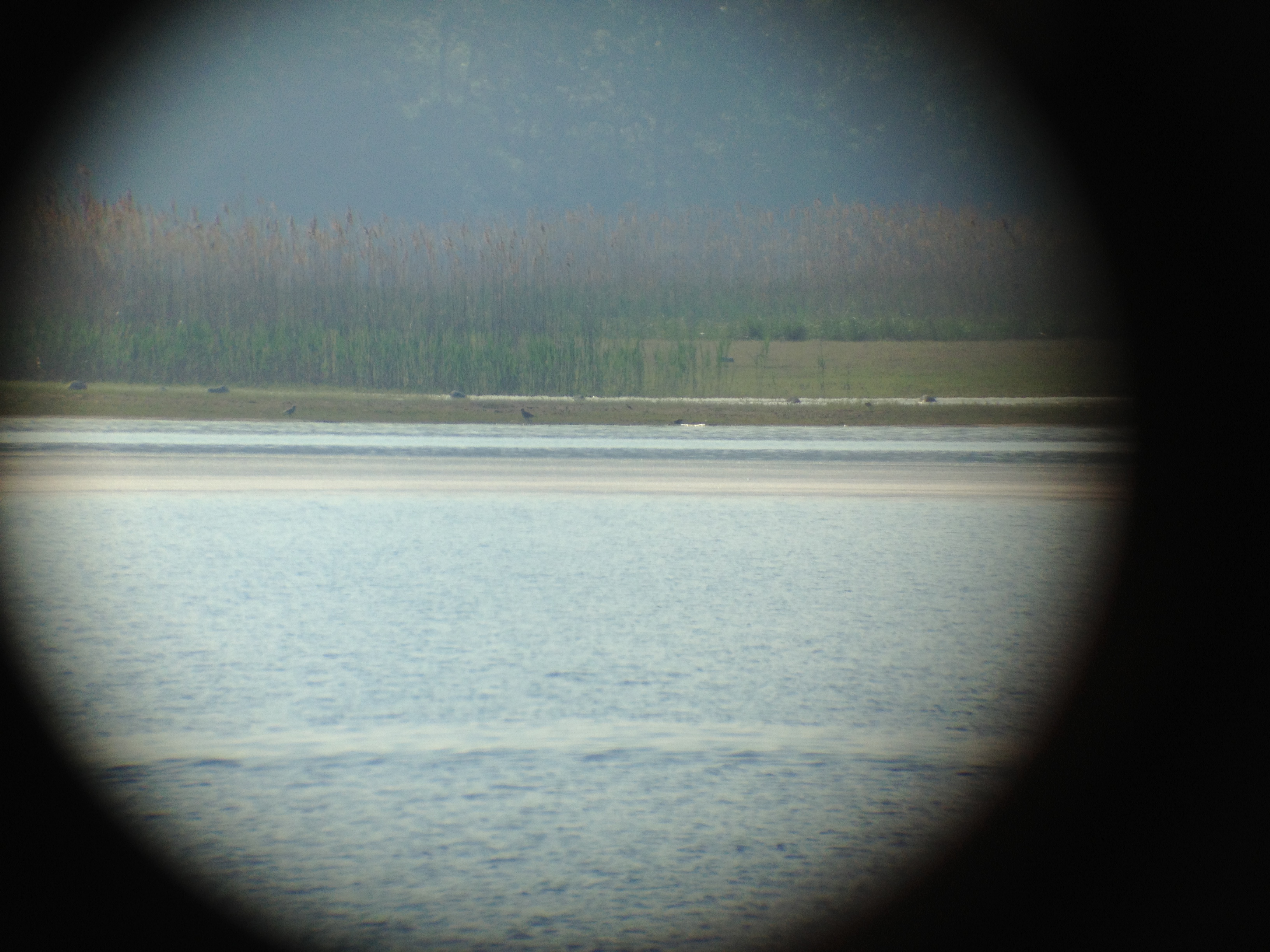
Black bellied Plovers
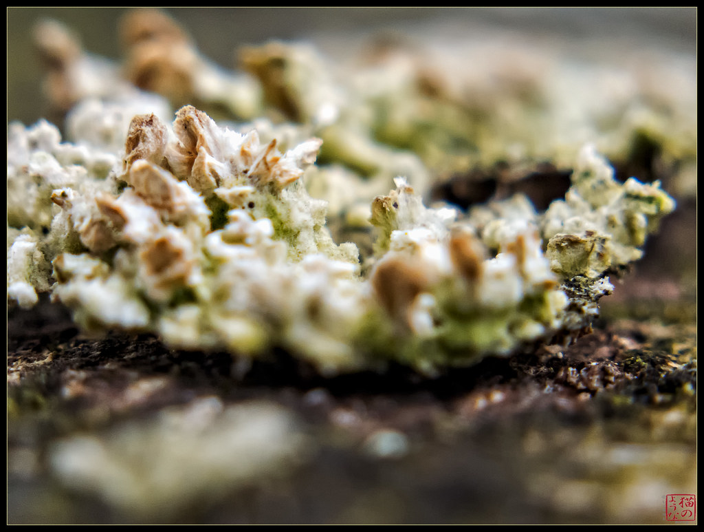
Ant's View of Lichens
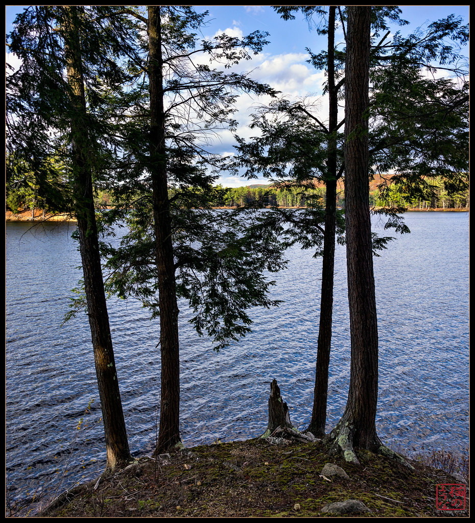
View through Four

Leaves on the River

French King Bridge I

Millers River

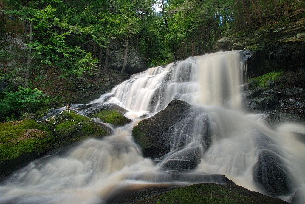
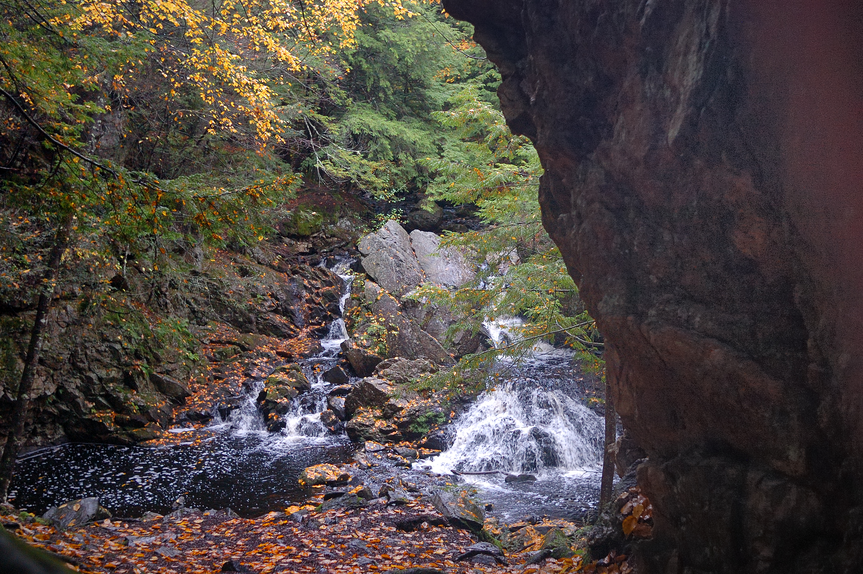
Doanes Falls

French King Bridge II
Get In It!
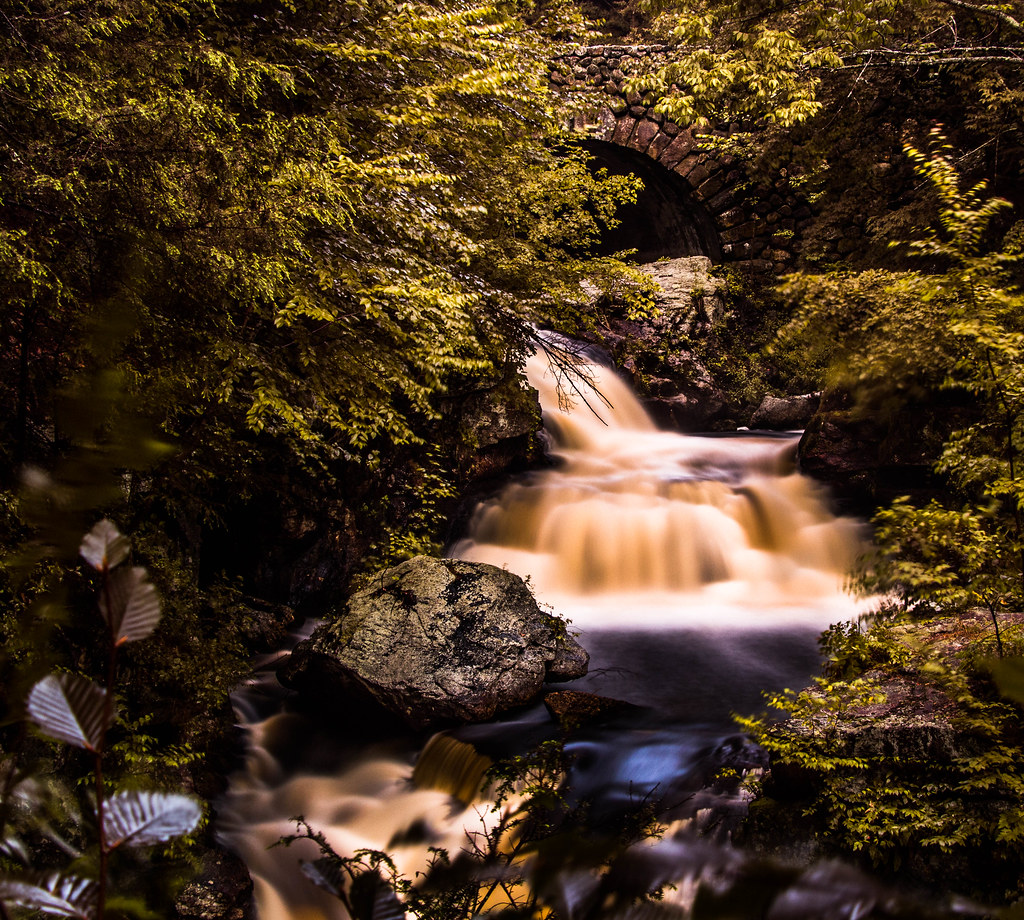
Doane's Falls - Royalston, MA

Morning Quabbin Glory

Long Pond Winter
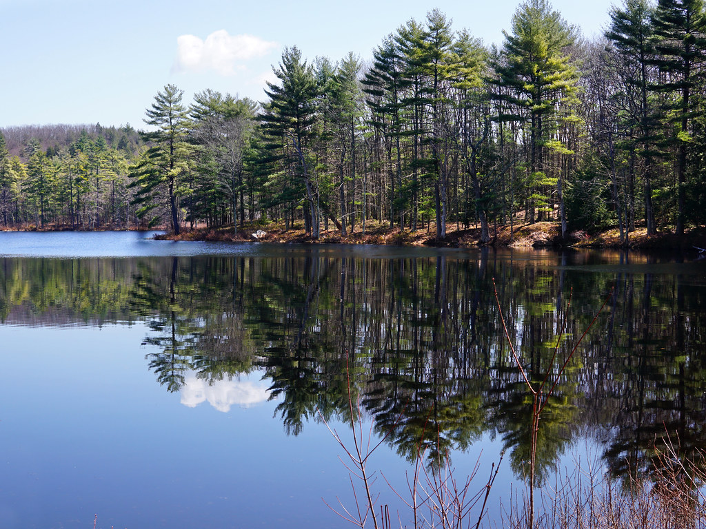
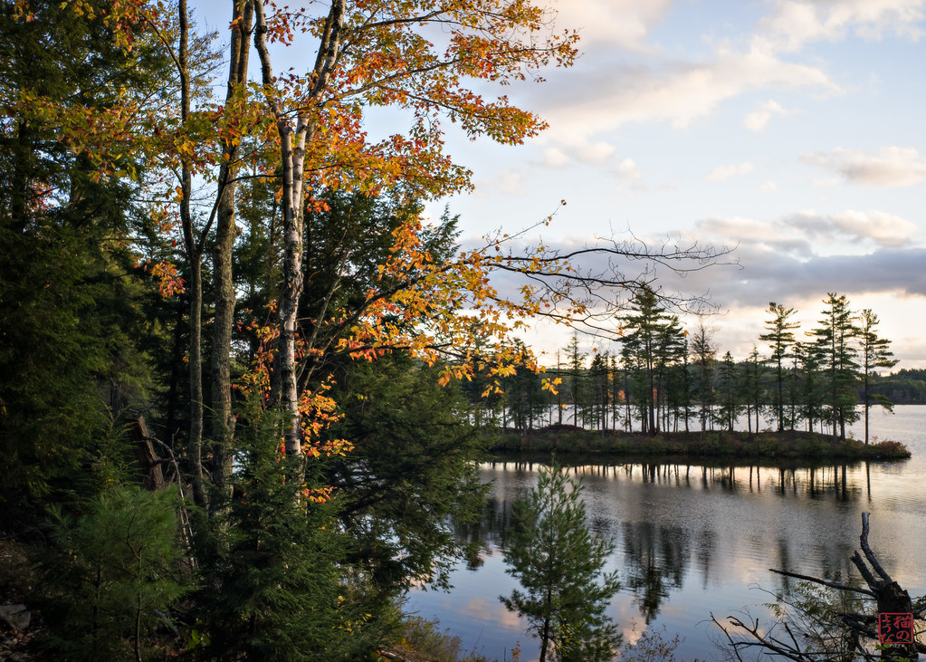
Harvard Pond, Western Massachusetts
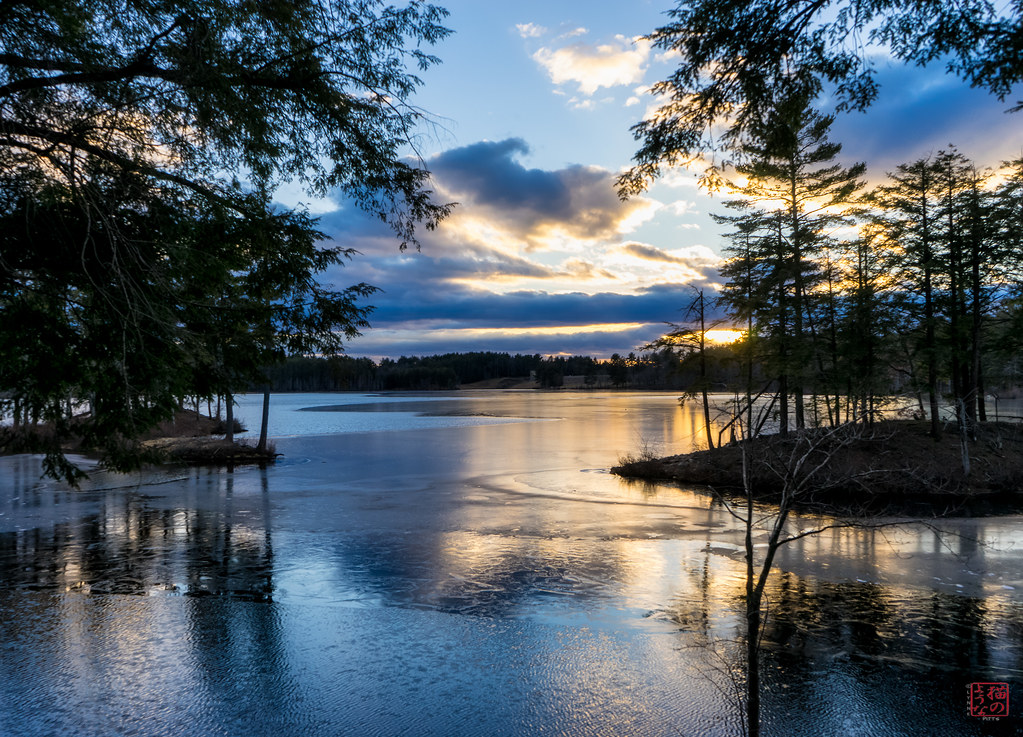
The Ice Curves

Adieu... 2013 Autumn
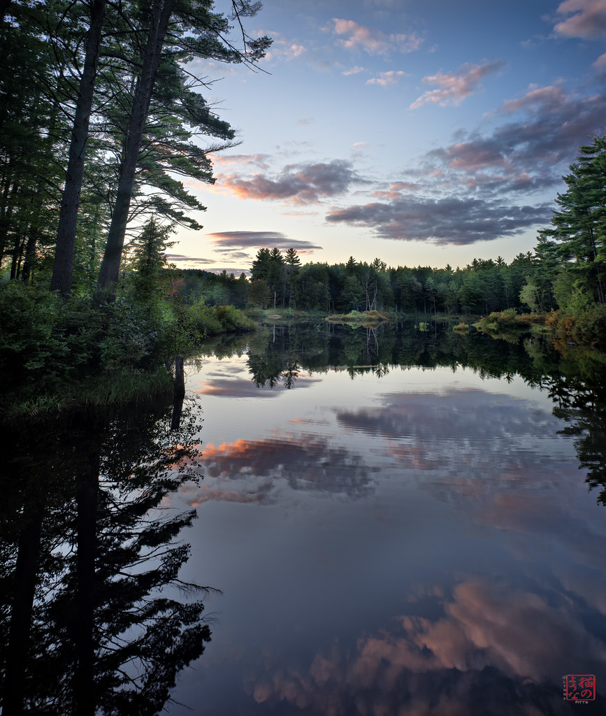
Sunset Reflections

Tully Reflections
Into the Den
Slipping Away

Harvard Pond #2
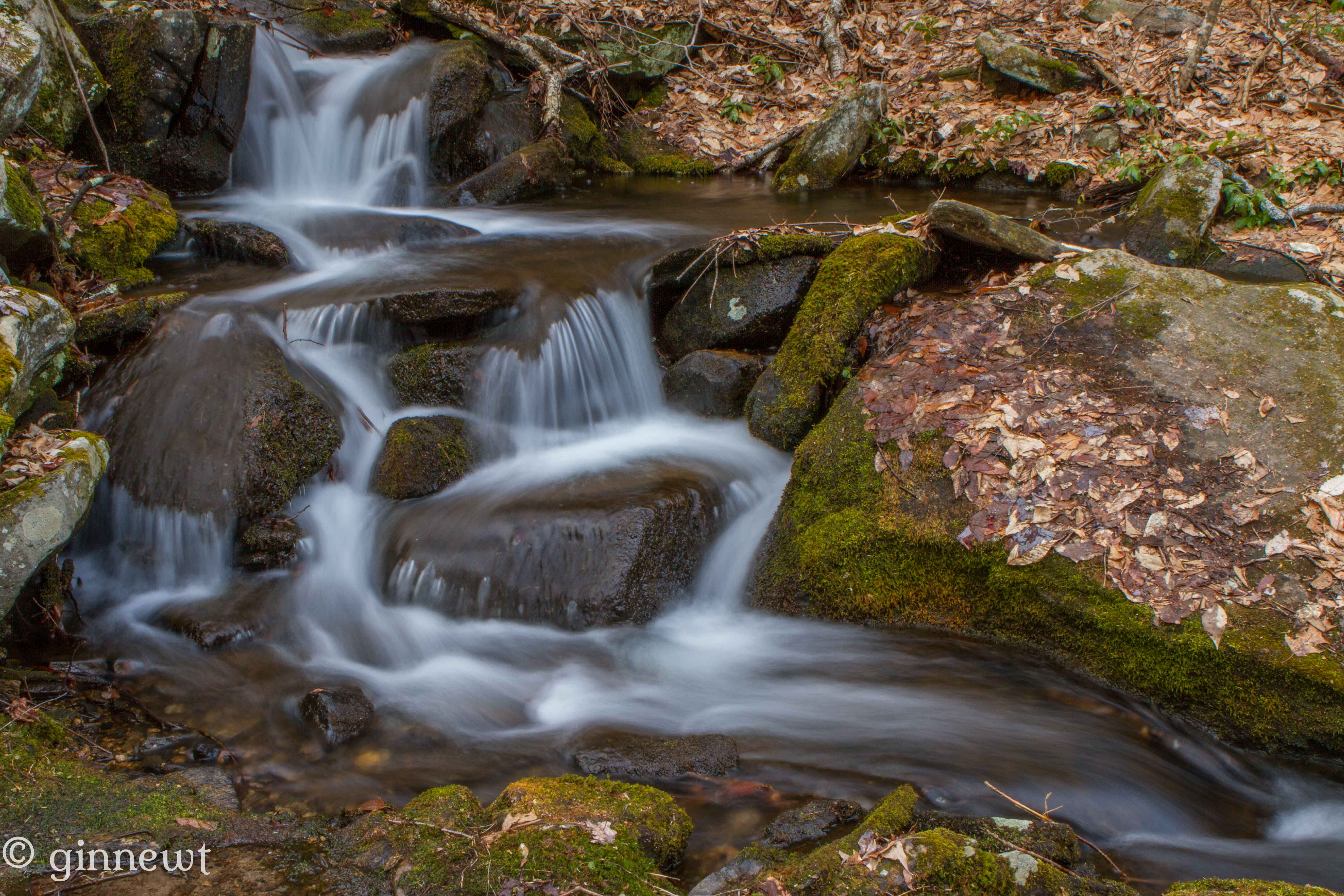
Briggs Brook Falls
Topographic Map of 84 Elm St, New Salem, MA, USA
Find elevation by address:

Places near 84 Elm St, New Salem, MA, USA:
Fay Road
Lake Mattawa
Orange
74 Harrison Ave
200 S Main St
94 Eagleville Rd
Orange
Orange
585 E River St
511 E River St
200 Mechanic St
871 Partridgeville Rd
91 Blanchard Cir
25 Rogers Ave
W Orange Rd, Orange, MA, USA
55 Morse Village Rd
125 E Rd
S Athol Rd, Athol, MA, USA
South Athol Road
Wendell
Recent Searches:
- Elevation of Corso Fratelli Cairoli, 35, Macerata MC, Italy
- Elevation of Tallevast Rd, Sarasota, FL, USA
- Elevation of 4th St E, Sonoma, CA, USA
- Elevation of Black Hollow Rd, Pennsdale, PA, USA
- Elevation of Oakland Ave, Williamsport, PA, USA
- Elevation of Pedrógão Grande, Portugal
- Elevation of Klee Dr, Martinsburg, WV, USA
- Elevation of Via Roma, Pieranica CR, Italy
- Elevation of Tavkvetili Mountain, Georgia
- Elevation of Hartfords Bluff Cir, Mt Pleasant, SC, USA