Elevation of S Escuela Rd, Golden Valley, AZ, USA
Location: United States > Arizona > Mohave County > Golden Valley >
Longitude: -114.29074
Latitude: 35.205955
Elevation: 845m / 2772feet
Barometric Pressure: 92KPa
Elevation Map:
Satellite Map:
Related Photos:

My view in the plane to Vegas
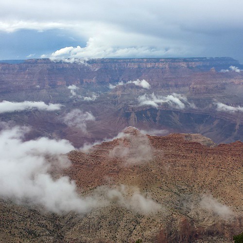
Cloudy view at the Grand Canyon today... #grandcanyon #southrim #vacation #arizona

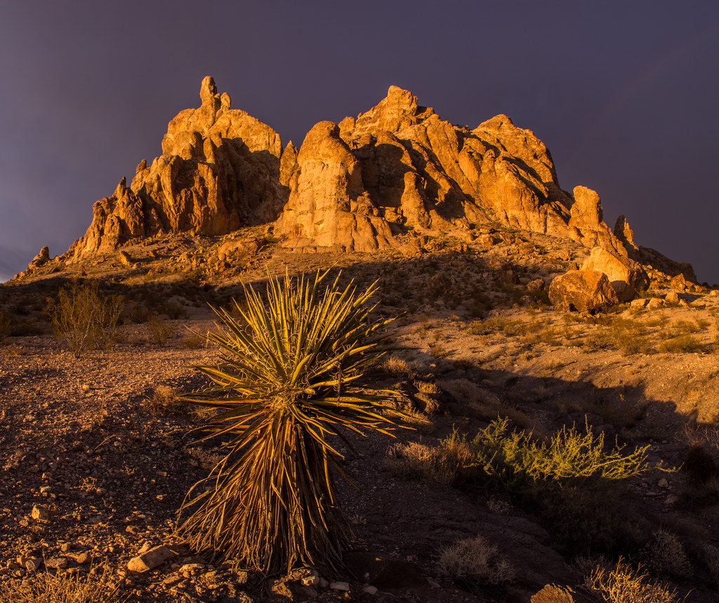
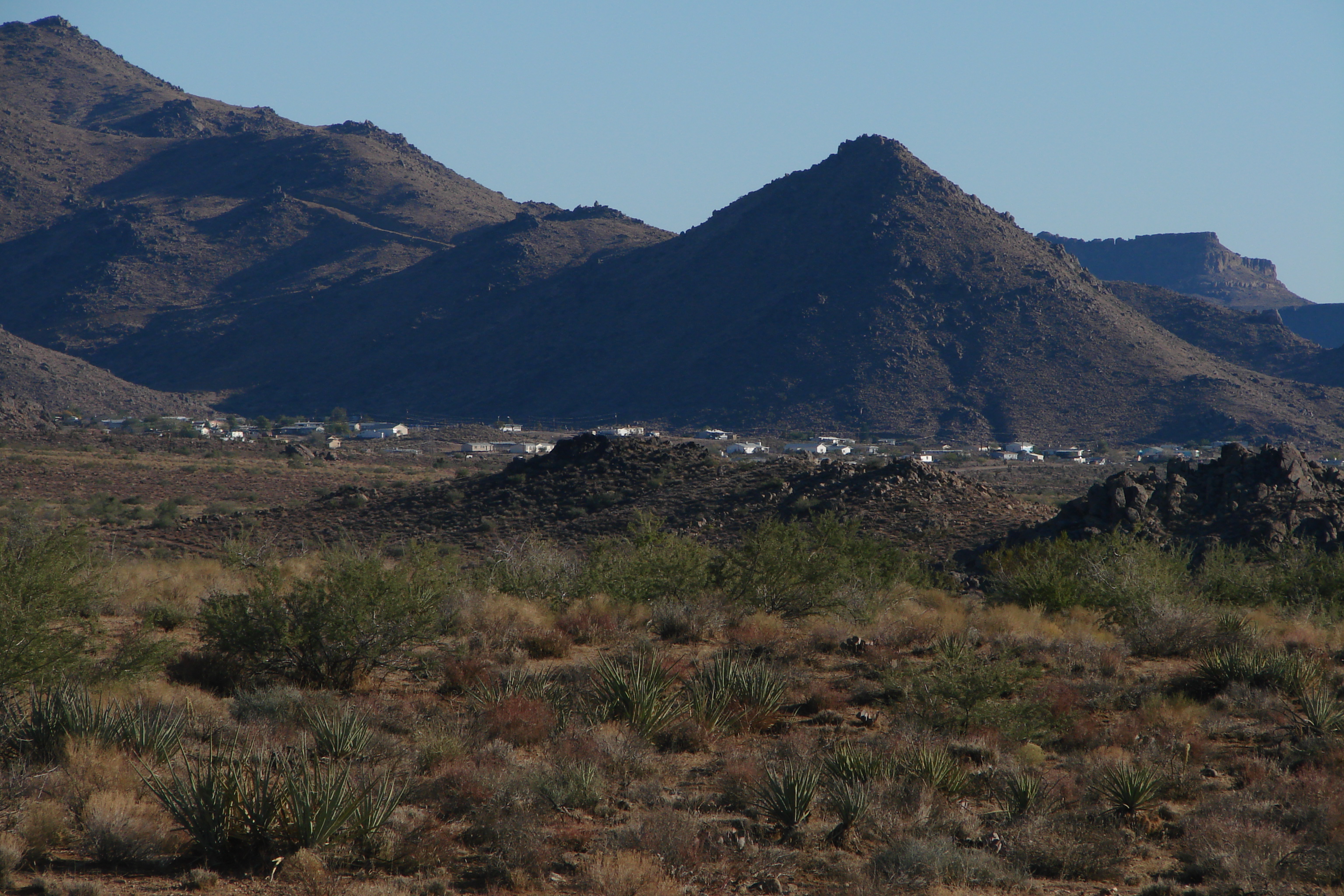
Golden Valley, Arizona
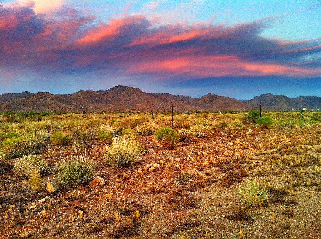
Another Sunset

Nevada desert in late afternoon
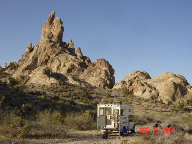
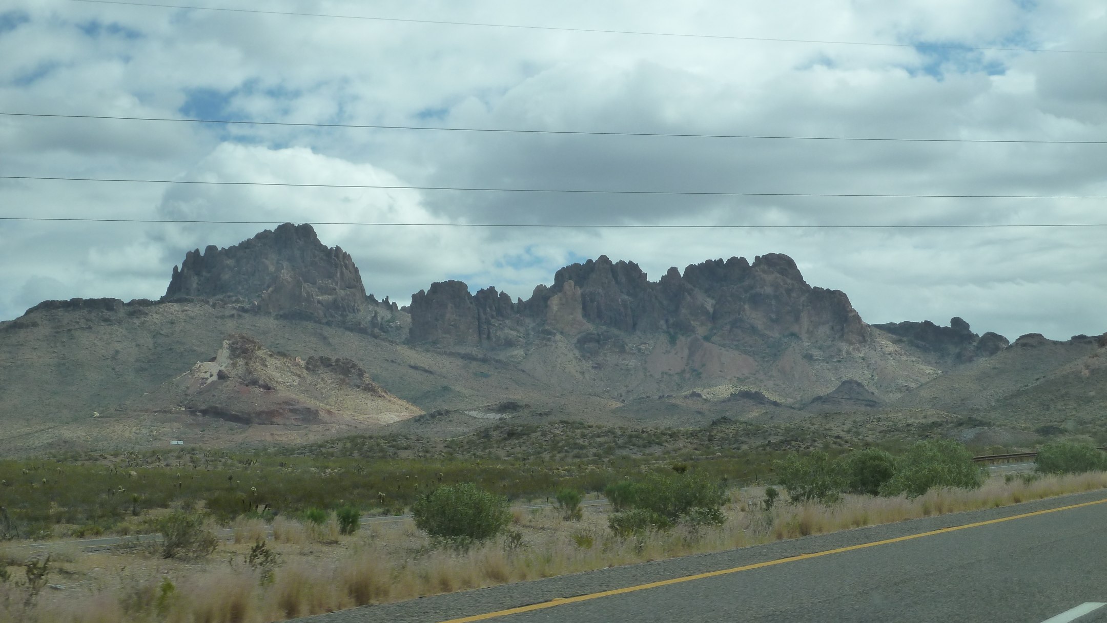
Union Pass
R_Black_Mountains_19July2014-21_HDR-Edit.jpg
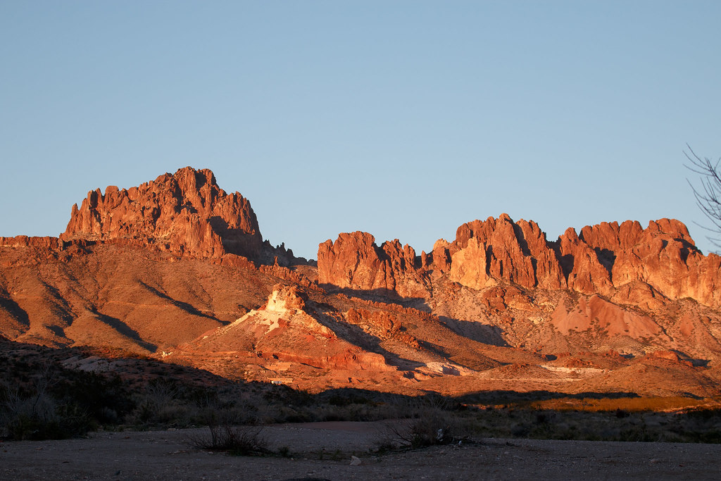
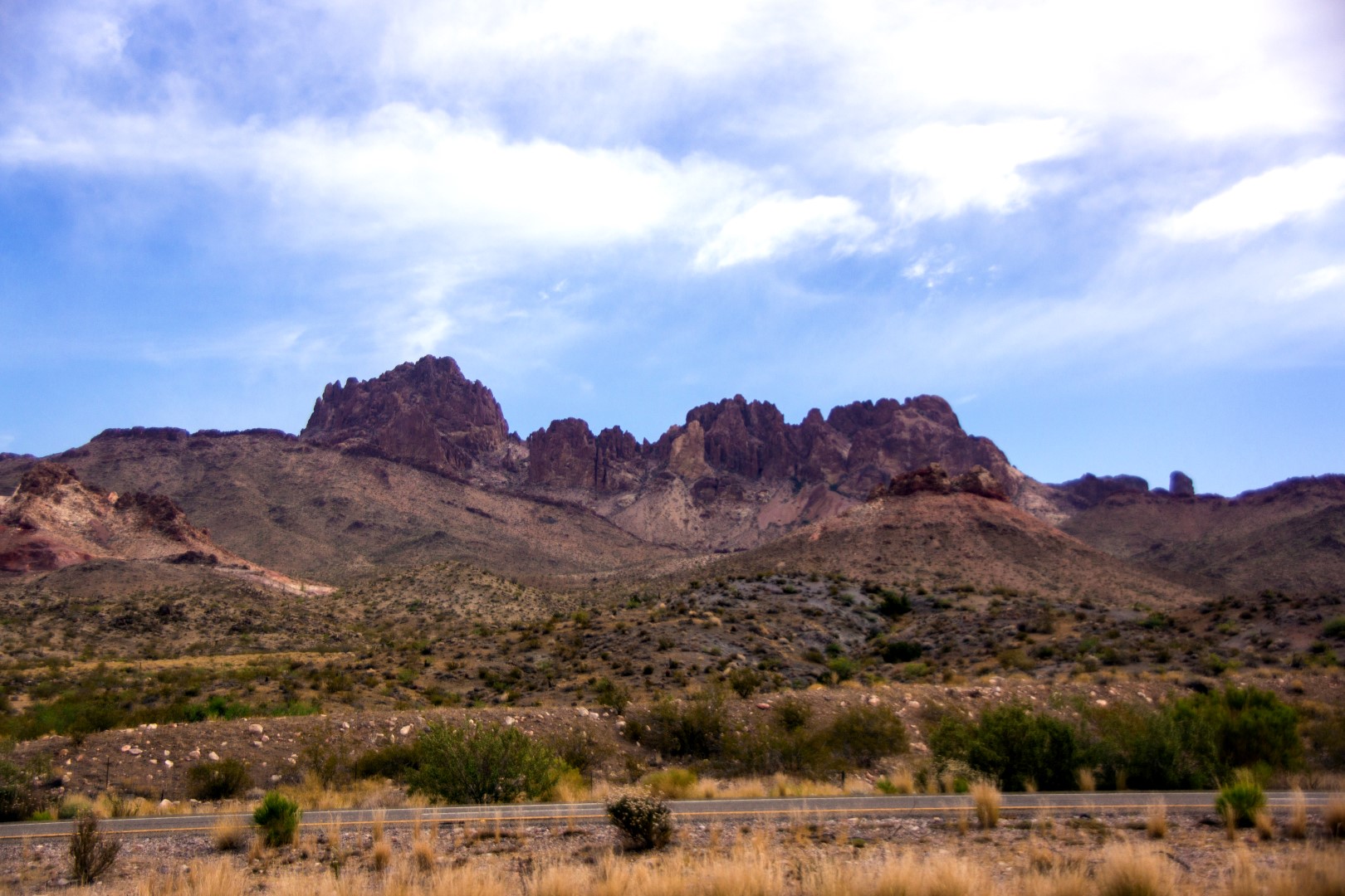
Storm the Castle
IMG_1917.jpg

IMG_1831.jpg
IMG_1840.jpg

IMG_1933.jpg
IMG_1940.jpg
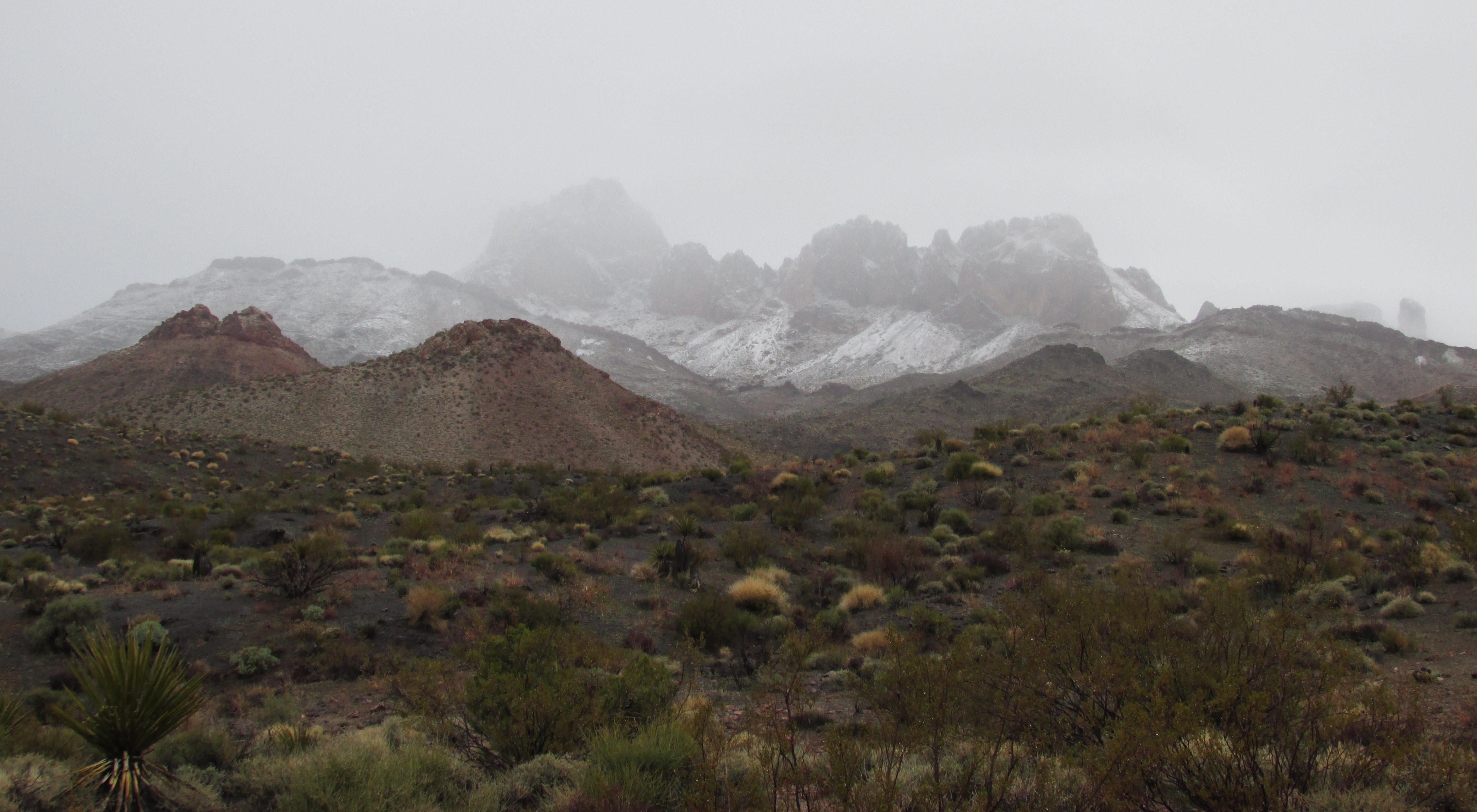
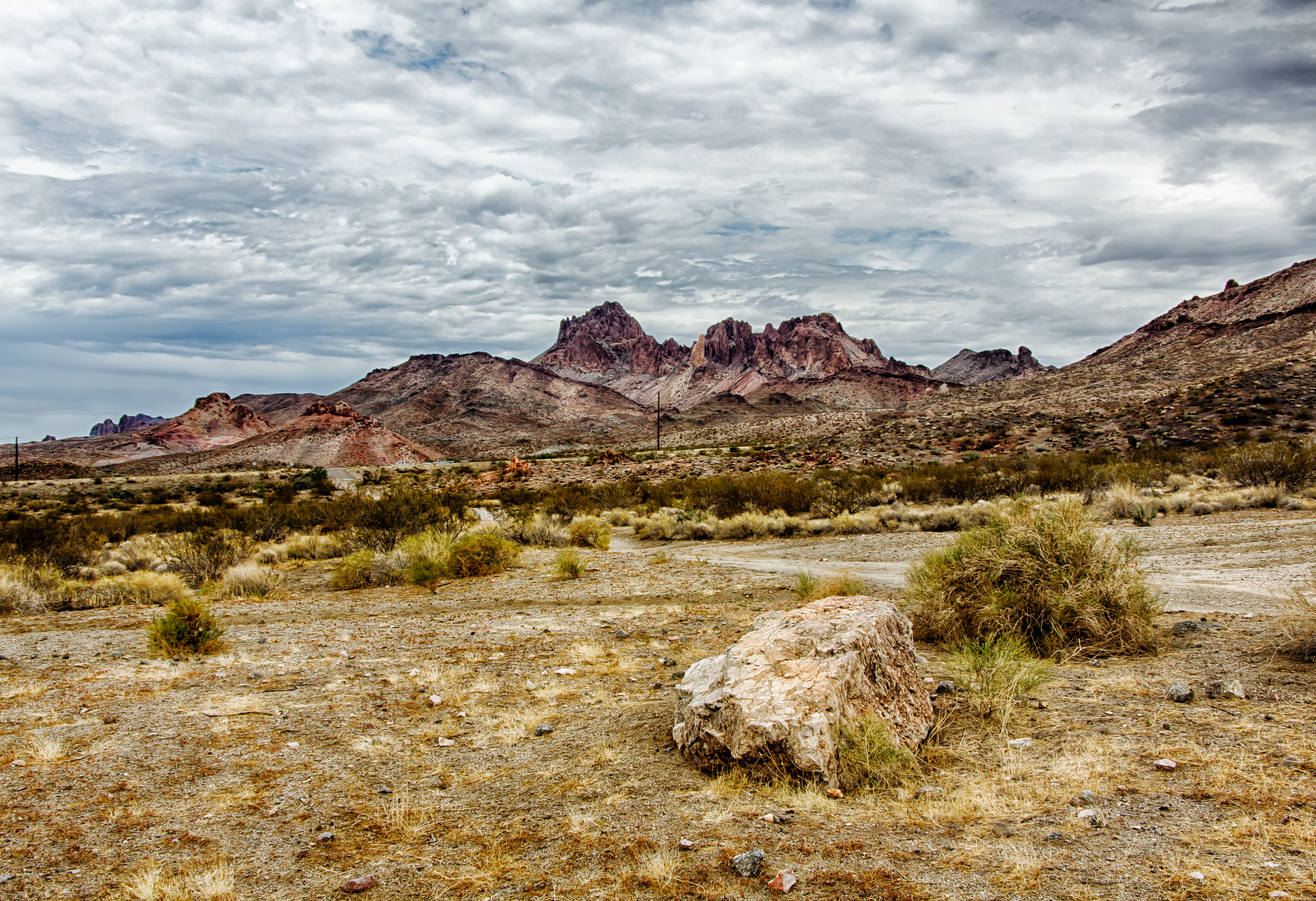
Black Mountains snow
USA_3383 Kopie

Lovely desert sunset for Christmas Eve. Merry Christmas everyone!

IMG_1811.jpg

Driving from Phoenix to Las Vegas
2008 11 29_0833

Driving from Phoenix to Las Vegas
Fun Run 2013 - 699

IMG_1848.jpg
Topographic Map of S Escuela Rd, Golden Valley, AZ, USA
Find elevation by address:

Places near S Escuela Rd, Golden Valley, AZ, USA:
Aqua Fria Drive
Mormon Flat Road
1460 S Estrella Rd
Bolsa Drive
Golden Valley, AZ, USA
Redwall Drive
654 Salt Rd
4778 Davis Rd
931 San Pedro
931 San Pedro
931 San Pedro
Burro Drive
Golden Valley
Chino Drive
Shipp Drive
3435 Verde Rd
3680 Aguila Rd
Aguila Road
Alpine Road
Aztec Road
Recent Searches:
- Elevation of Corso Fratelli Cairoli, 35, Macerata MC, Italy
- Elevation of Tallevast Rd, Sarasota, FL, USA
- Elevation of 4th St E, Sonoma, CA, USA
- Elevation of Black Hollow Rd, Pennsdale, PA, USA
- Elevation of Oakland Ave, Williamsport, PA, USA
- Elevation of Pedrógão Grande, Portugal
- Elevation of Klee Dr, Martinsburg, WV, USA
- Elevation of Via Roma, Pieranica CR, Italy
- Elevation of Tavkvetili Mountain, Georgia
- Elevation of Hartfords Bluff Cir, Mt Pleasant, SC, USA