Elevation of Golden Valley, AZ, USA
Location: United States > Arizona > Mohave County > Golden Valley >
Longitude: -114.23904
Latitude: 35.1974154
Elevation: 819m / 2687feet
Barometric Pressure: 92KPa
Elevation Map:
Satellite Map:
Related Photos:
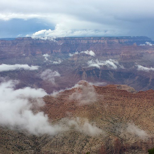
Cloudy view at the Grand Canyon today... #grandcanyon #southrim #vacation #arizona
_DSC5314 (Copy)
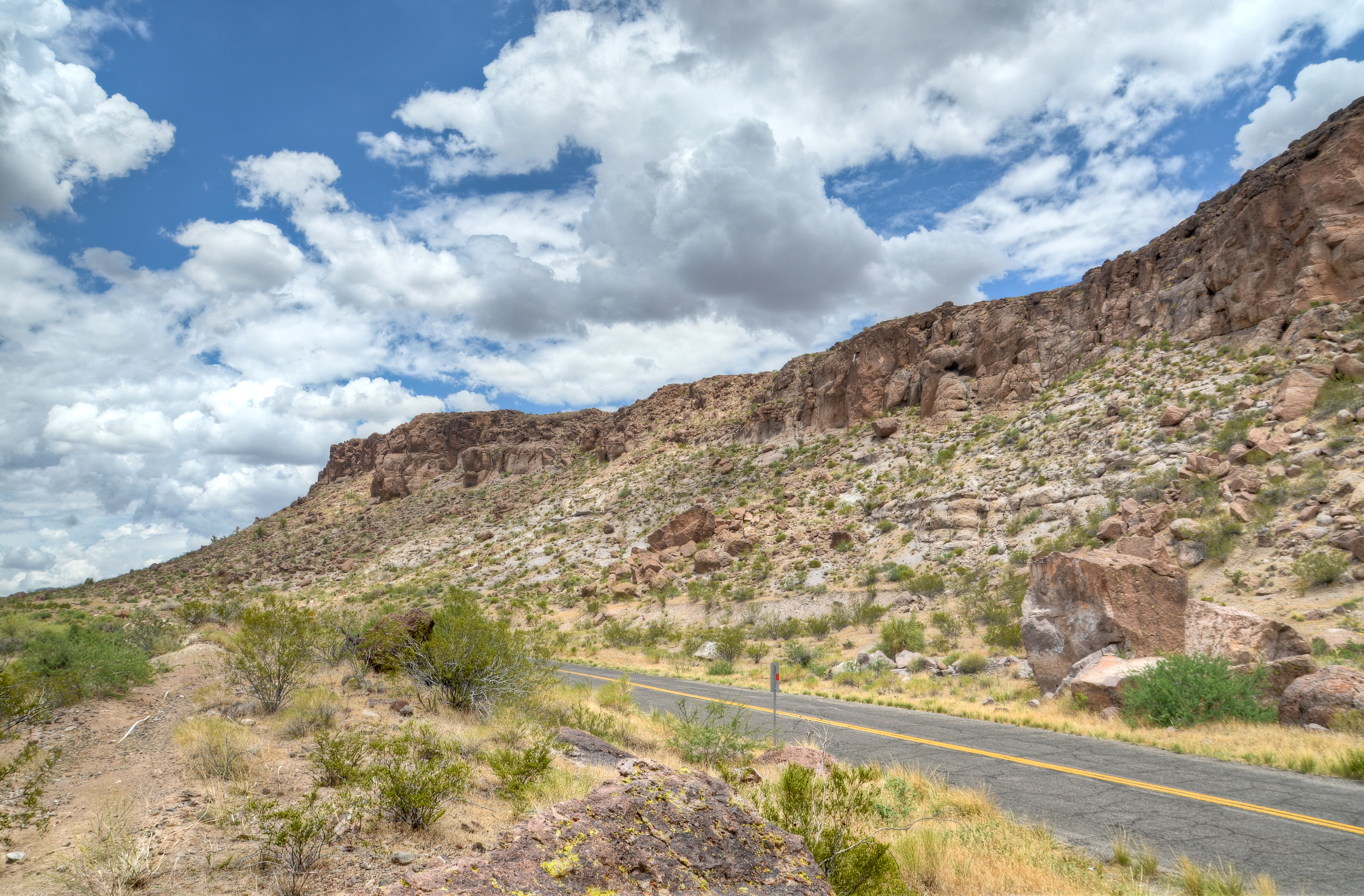
Clack Canyon Road

Side View of Gas Pumps on Route 66 at Cool Springs, Arizona
Rear View Reminder

2007 Vakantie 27 mei USA Kingman 0335.jpg

On our way to the Grand Canyon National Park

2007 Vakantie 27 mei USA Kingman 0334.jpg

2007 Vakantie 27 mei USA Kingman 0333.jpg
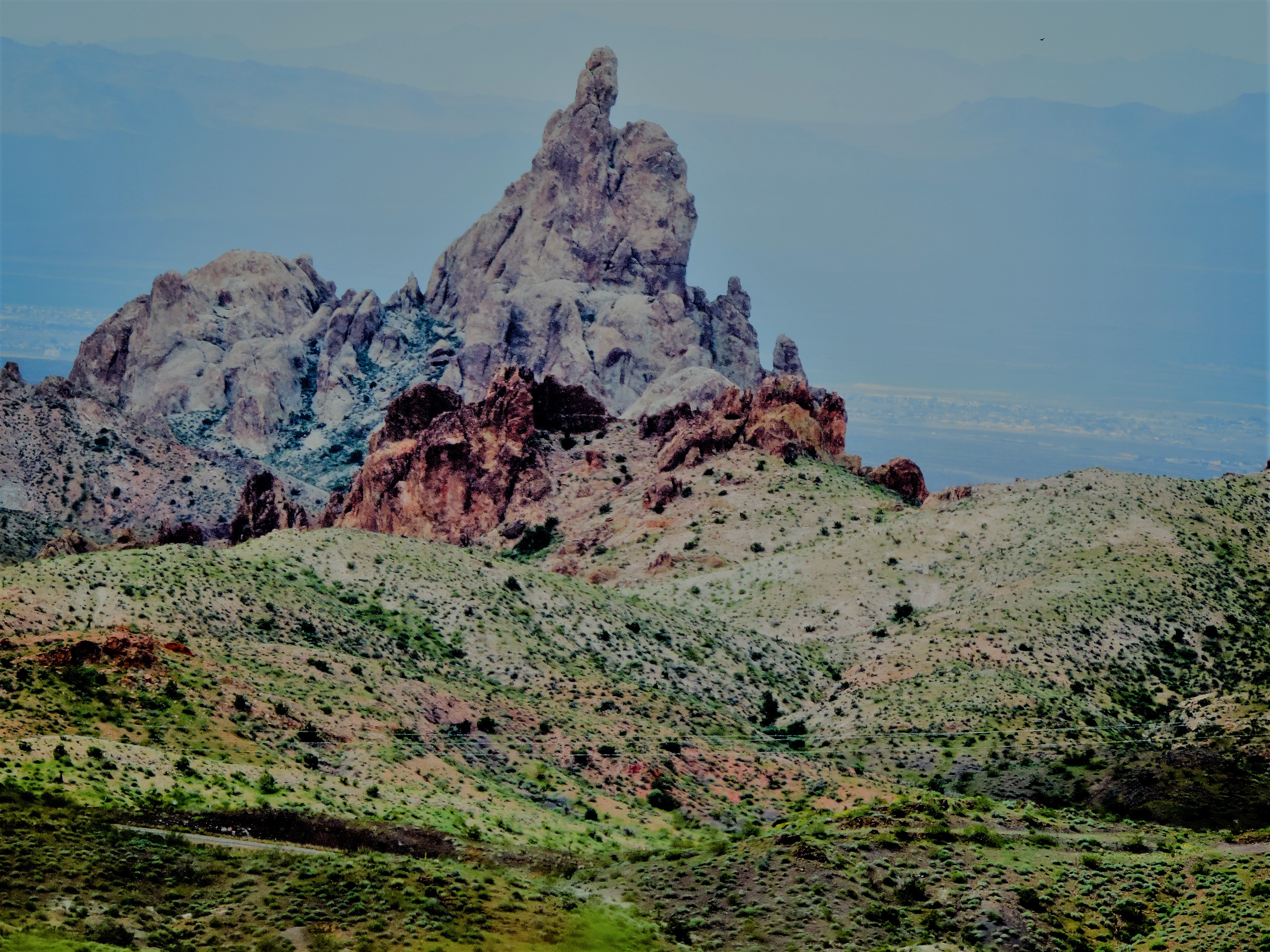
Stacks in Kingman Canyon
Monolithic Gardens

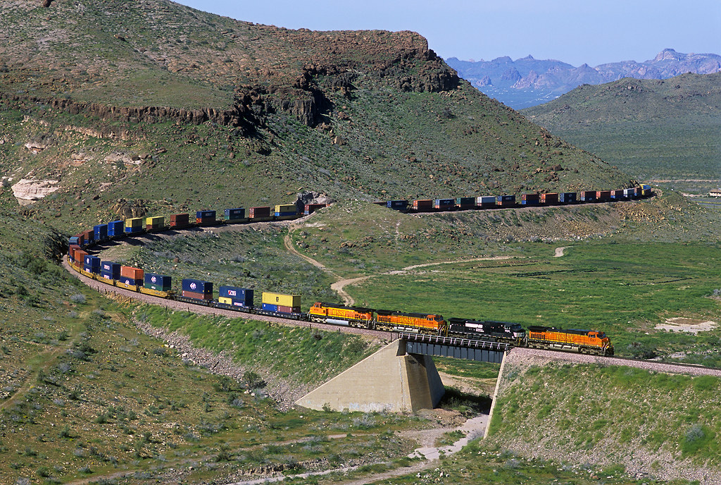
BNSF 4567 East at Kingman Canyon, AZ
R_Black_Mountains_19July2014-21_HDR-Edit.jpg
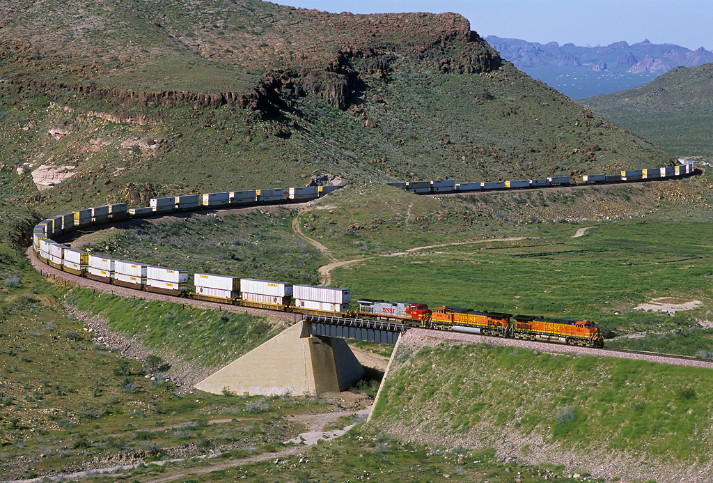
Eastbound through Kingman Canyon

Panorama 17-1

I-40 45 Milepost McConnico, AZ
Thumb Butte, Giving all the Mothers a Thumb Up today!
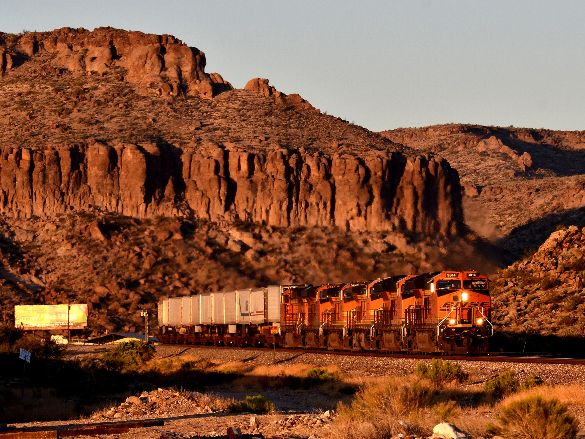
BNSF 3814 west McConnico Arizona 14.10.2017
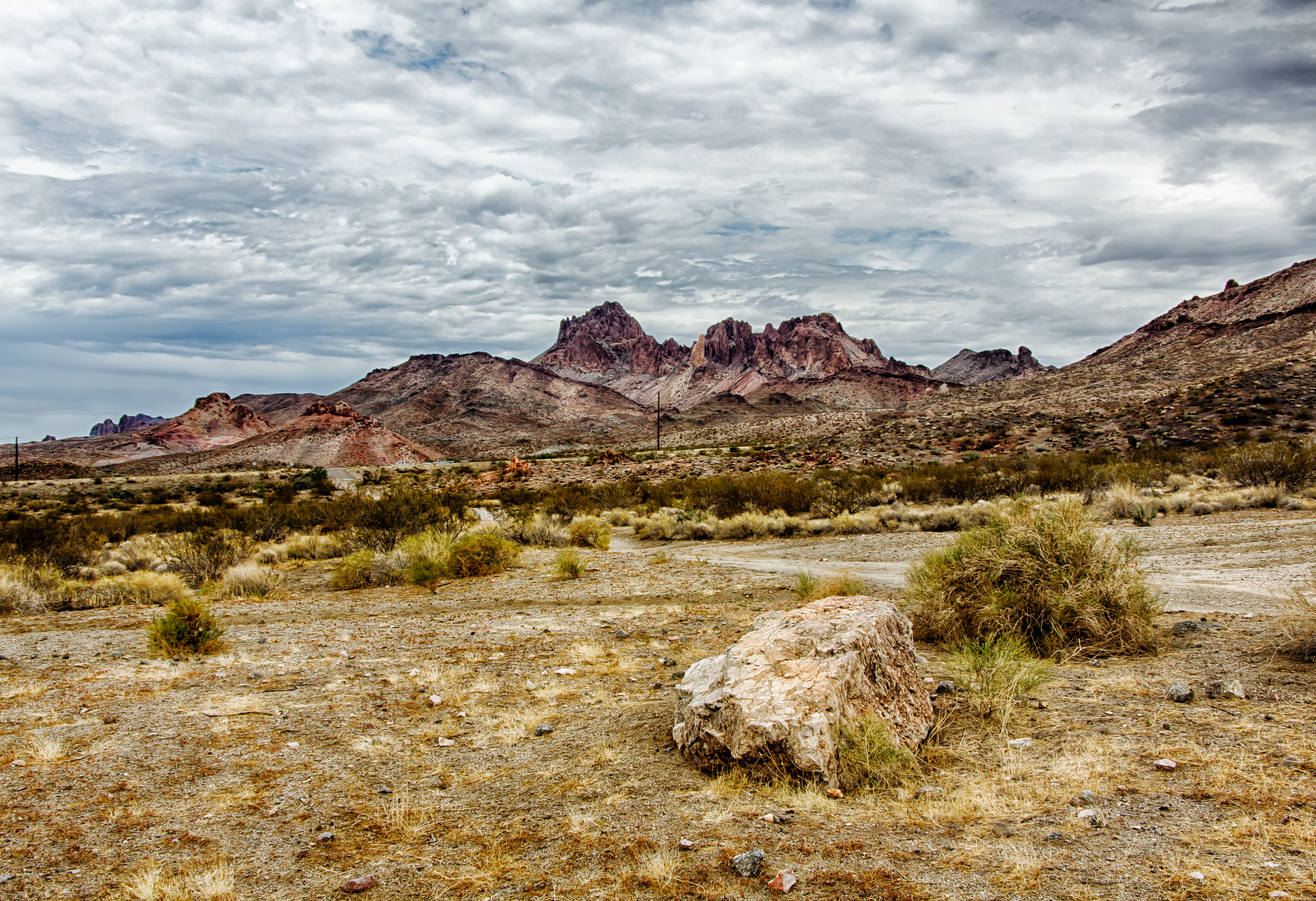
Route 66 - From Kingman to Oatman

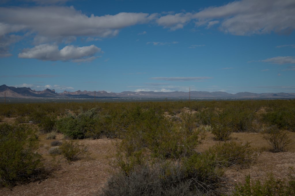
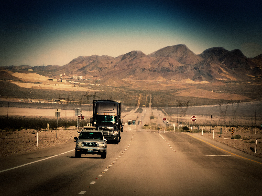
Driving from Phoenix to Las Vegas

Ariaona Highways
BNSF is PTC is Ready.
雨便り
DSC02697.jpg
Clack Canyon - Square

Straight ahead on route 66, AZ

My view in the plane to Vegas

Driving from Phoenix to Las Vegas
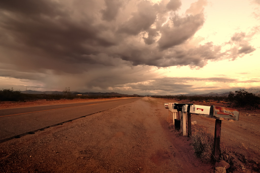
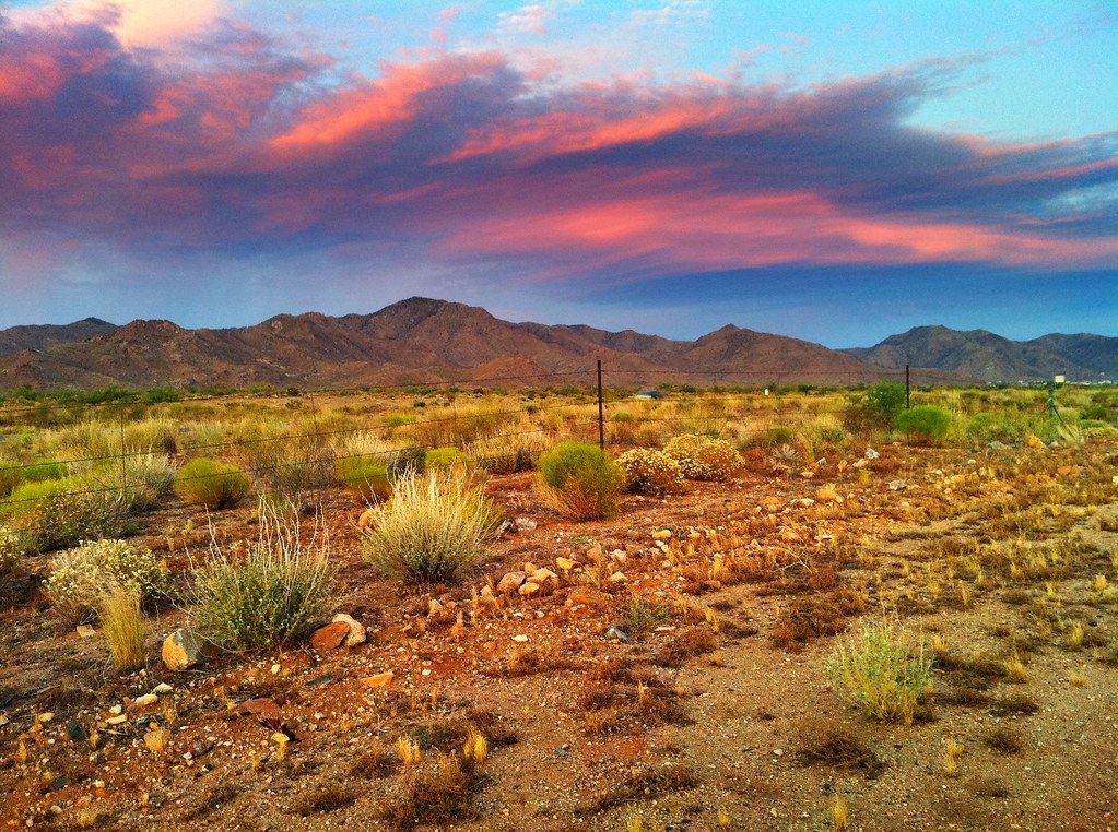
Golden Valley
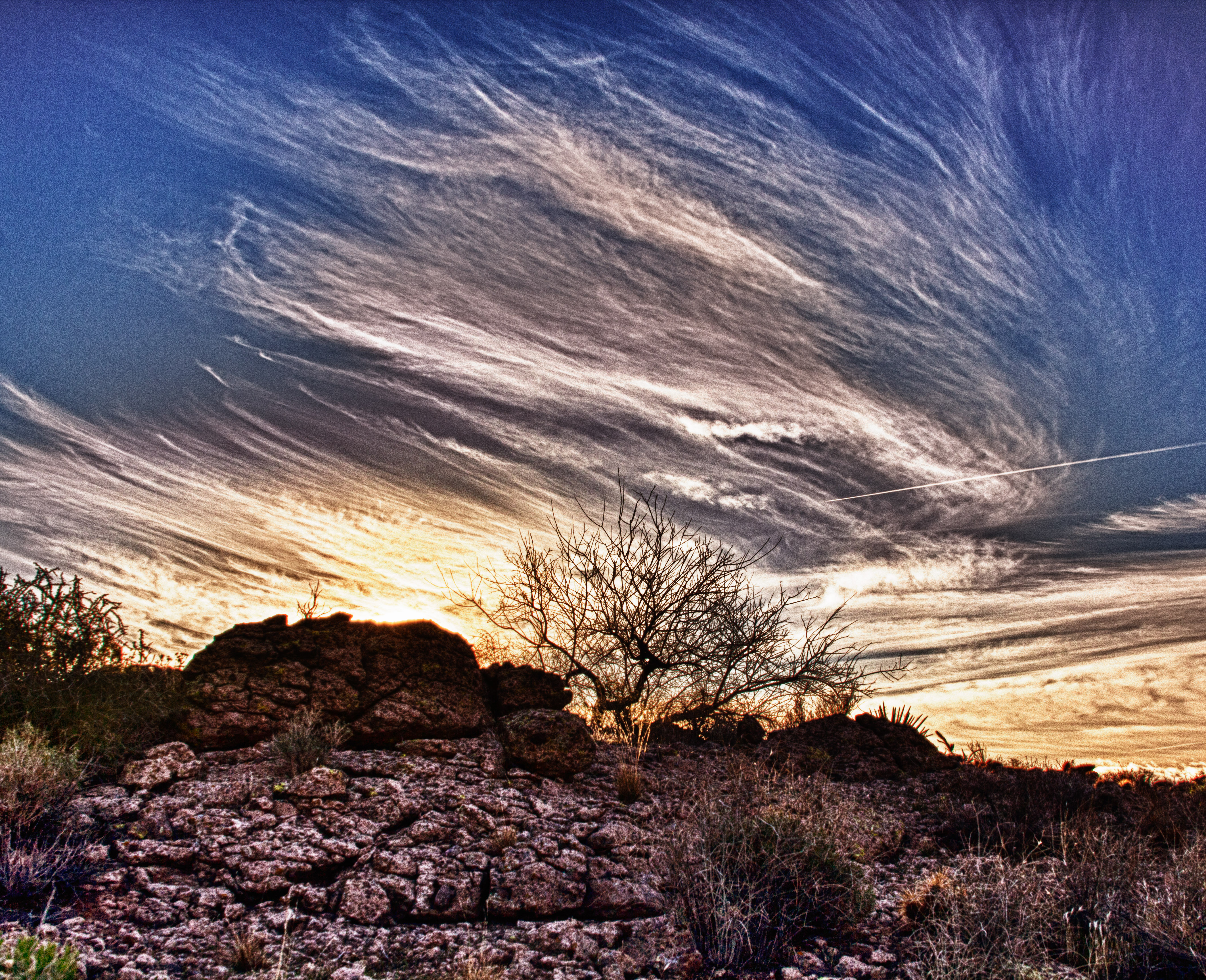
Another Sunset
Topographic Map of Golden Valley, AZ, USA
Find elevation by address:

Places near Golden Valley, AZ, USA:
Redwall Drive
931 San Pedro
931 San Pedro
931 San Pedro
Bolsa Drive
654 Salt Rd
Shipp Drive
Golden Valley
Chino Drive
3435 Verde Rd
Burro Drive
3680 Aguila Rd
Aguila Road
Alpine Road
Aztec Road
3344 Hope Rd
Houck Road
3779 Bosque Rd
327 Bouse Rd
3680 Bibo Rd
Recent Searches:
- Elevation of Corso Fratelli Cairoli, 35, Macerata MC, Italy
- Elevation of Tallevast Rd, Sarasota, FL, USA
- Elevation of 4th St E, Sonoma, CA, USA
- Elevation of Black Hollow Rd, Pennsdale, PA, USA
- Elevation of Oakland Ave, Williamsport, PA, USA
- Elevation of Pedrógão Grande, Portugal
- Elevation of Klee Dr, Martinsburg, WV, USA
- Elevation of Via Roma, Pieranica CR, Italy
- Elevation of Tavkvetili Mountain, Georgia
- Elevation of Hartfords Bluff Cir, Mt Pleasant, SC, USA