Elevation of S Dry Creek Rd, Rusk, TX, USA
Location: United States > Texas > Cherokee County > Gallatin >
Longitude: -95.1423877
Latitude: 31.8870594
Elevation: 126m / 413feet
Barometric Pressure: 0KPa
Related Photos:
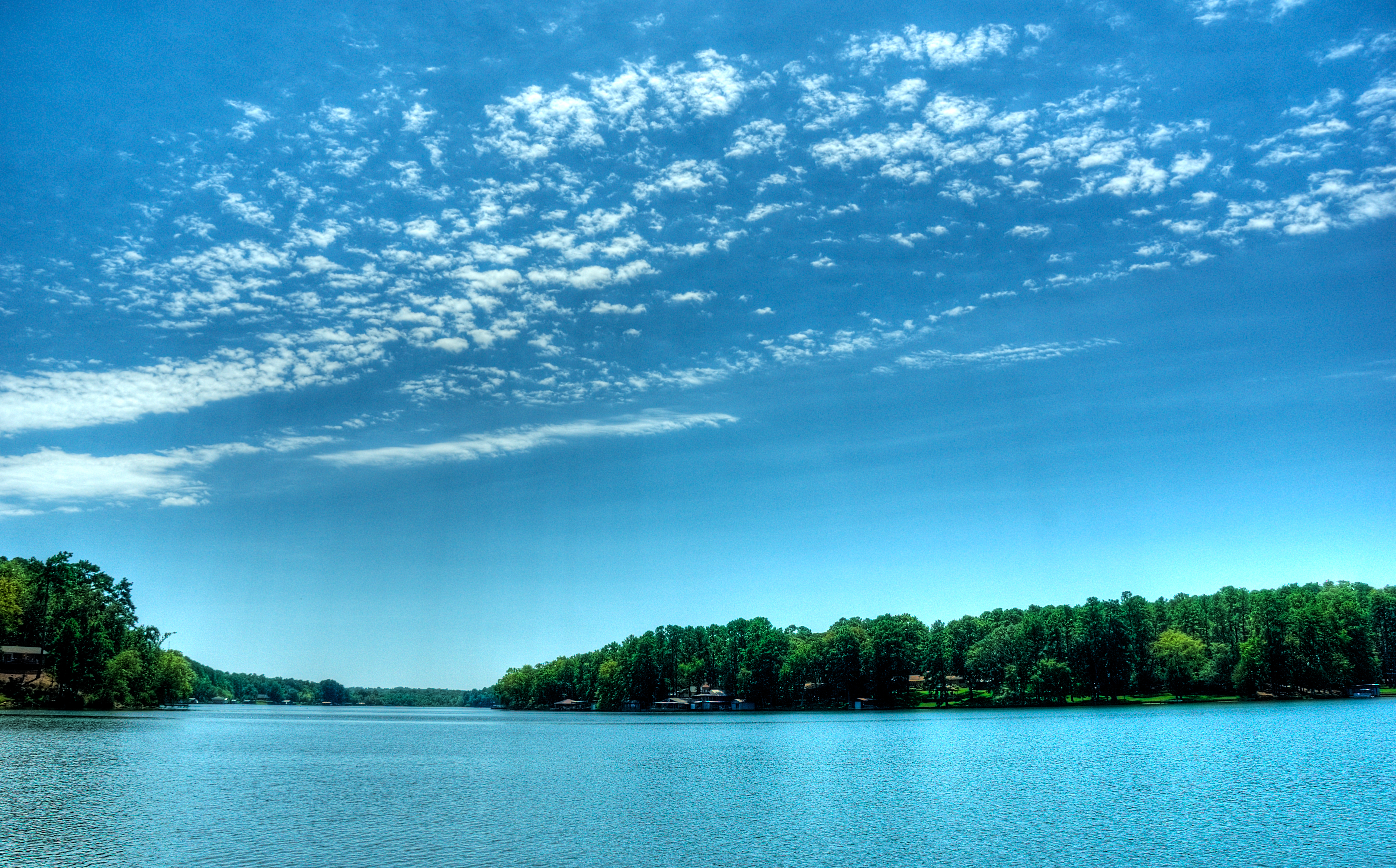
view from dock
Kids Camp 2012 | Rusk, TX

Rock Star
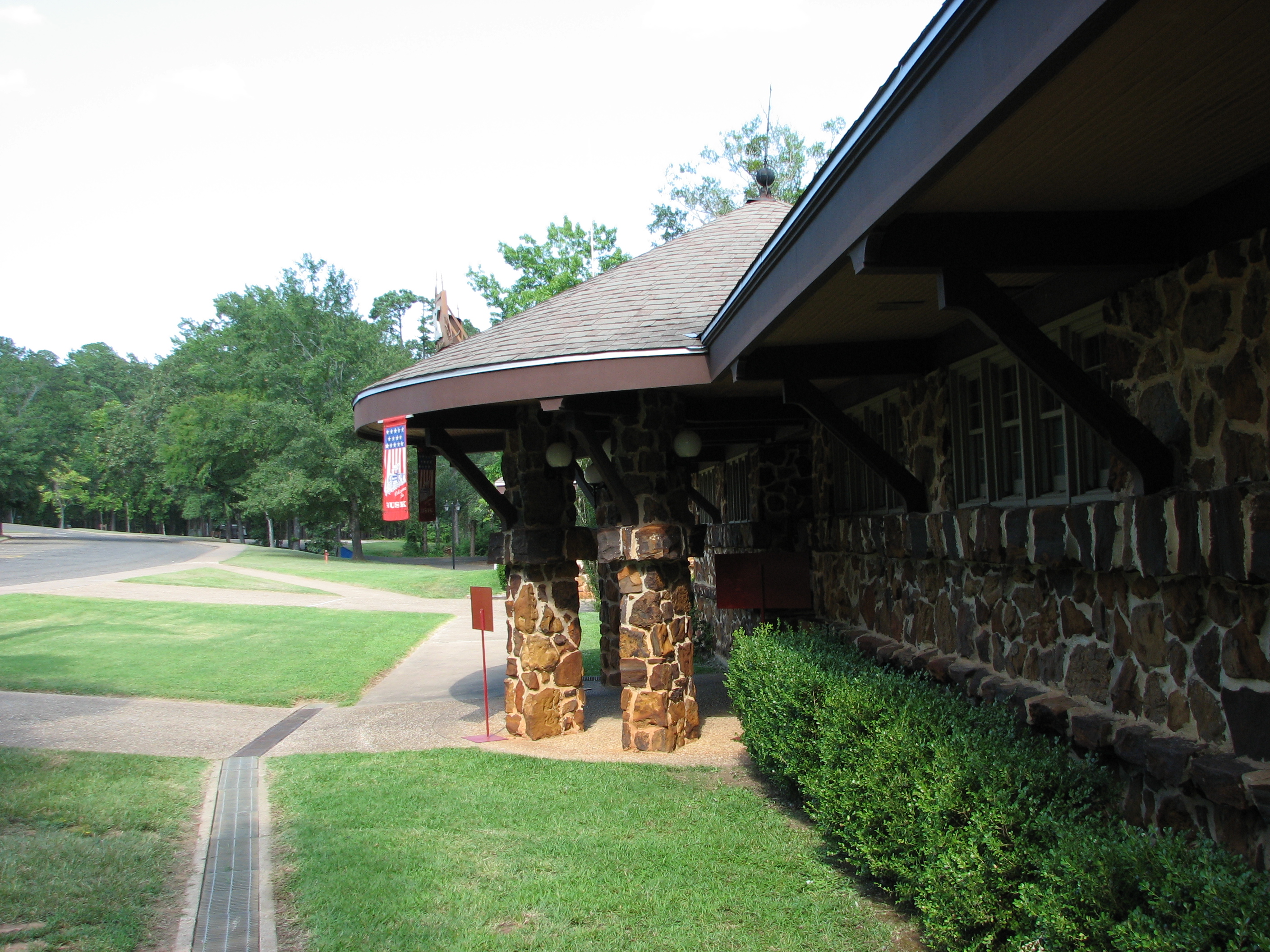
Side view of Depot Entrance from parking

Viewed-N-TECHniCOLOUR..
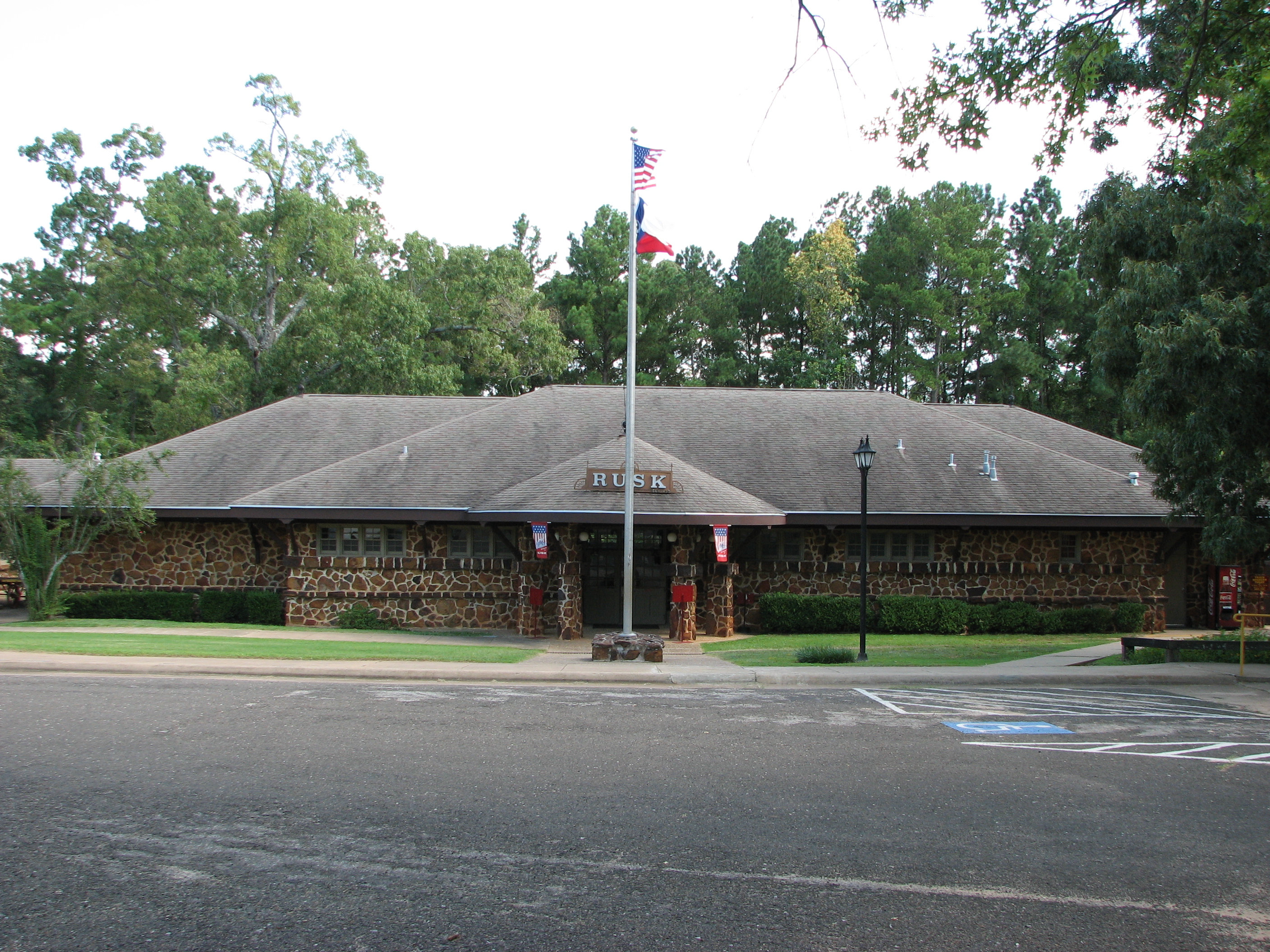
Depot as viewed from parking
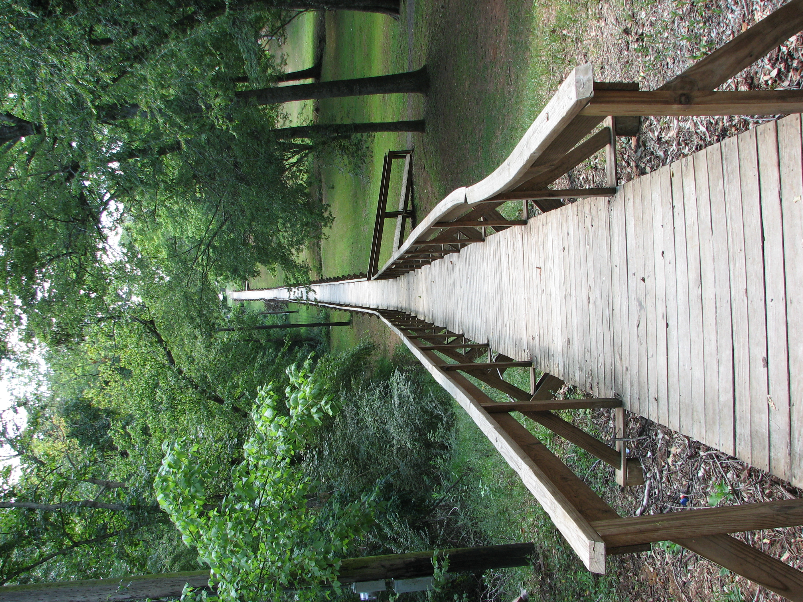
Rusk Footbridge long view
Rusk Footbridge in background of another bridge
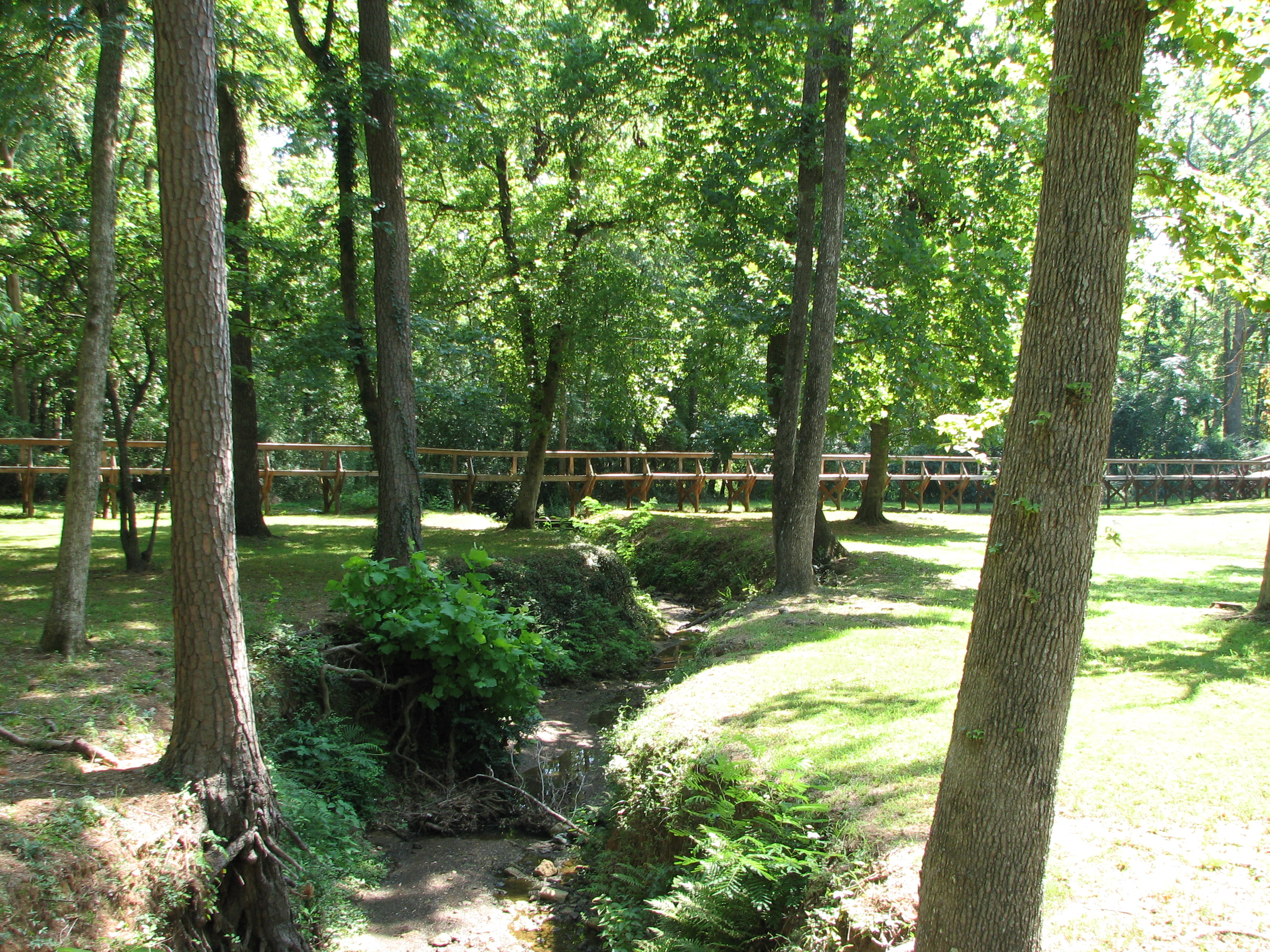
Rusk Footbridge through the trees

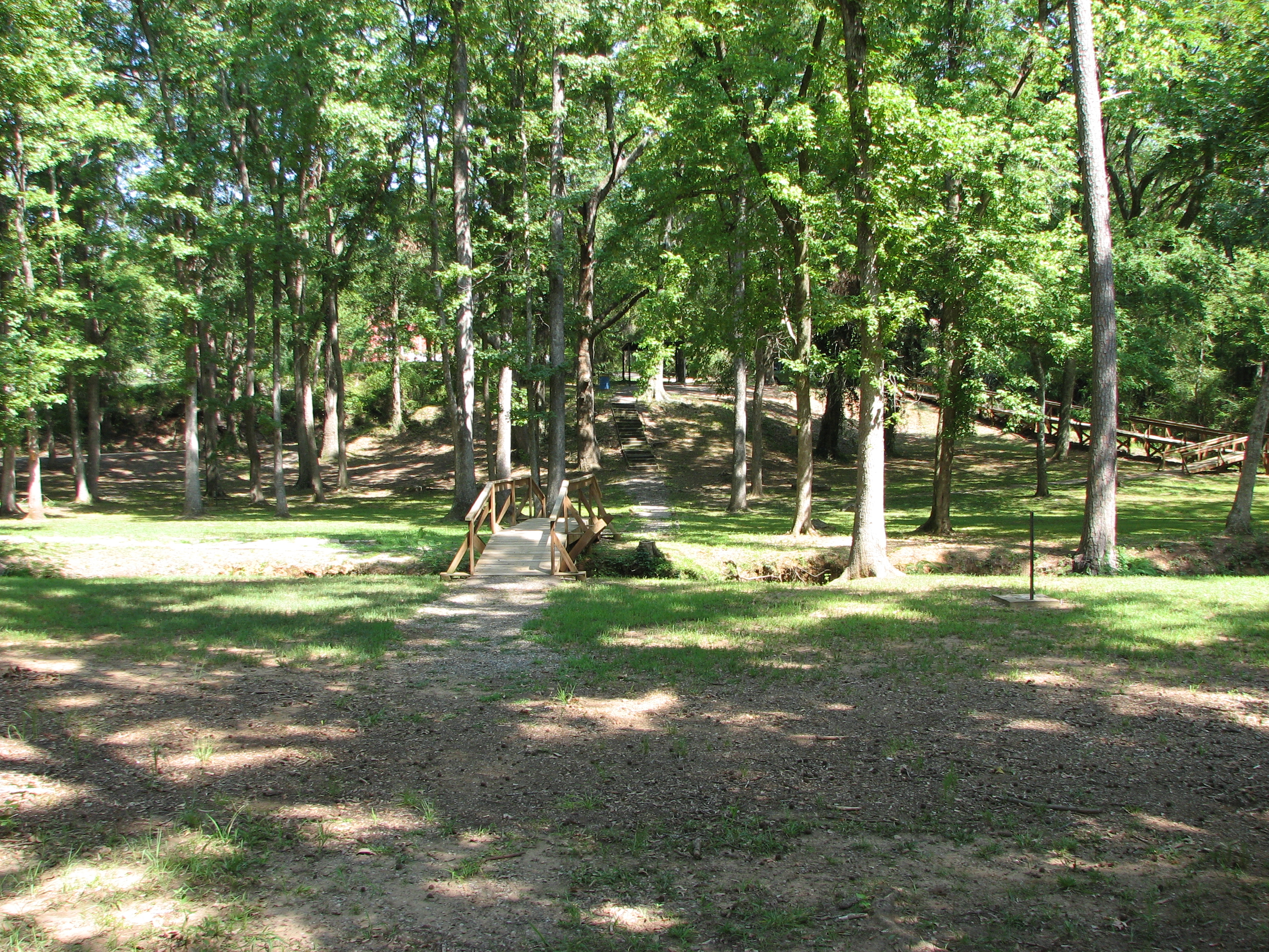
Rusk Footbridge across the park
shore line

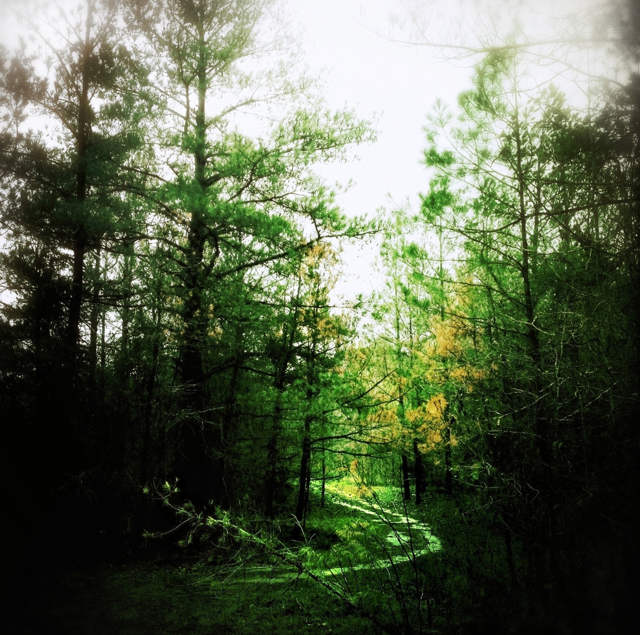
Camino…
Topographic Map of S Dry Creek Rd, Rusk, TX, USA
Find elevation by address:

Places near S Dry Creek Rd, Rusk, TX, USA:
871 S Dry Creek Rd
Gallatin
3141 Co Rd 1301
Cherokee County
Co Rd, Jacksonville, TX, USA
Rusk
326 Barron St
6300 Co Rd 1405
6300 Co Rd 1405
6300 Co Rd 1405
Co Rd, Jacksonville, TX, USA
542 Needham
542 Needham
5854 Fm 347
TX-, Reklaw, TX, USA
977 Co Rd 1322
5575 Co Rd 1201
County Road 1102
2185 Co Rd 3104
Jacksonville, TX, USA
Recent Searches:
- Elevation of North 8th Street, Palatka, Putnam County, Florida, 32177, USA
- Elevation of 107, Big Apple Road, East Palatka, Putnam County, Florida, 32131, USA
- Elevation of Jiezi, Chongzhou City, Sichuan, China
- Elevation of Chongzhou City, Sichuan, China
- Elevation of Huaiyuan, Chongzhou City, Sichuan, China
- Elevation of Qingxia, Chengdu, Sichuan, China
- Elevation of Corso Fratelli Cairoli, 35, Macerata MC, Italy
- Elevation of Tallevast Rd, Sarasota, FL, USA
- Elevation of 4th St E, Sonoma, CA, USA
- Elevation of Black Hollow Rd, Pennsdale, PA, USA
- Elevation of Oakland Ave, Williamsport, PA, USA
- Elevation of Pedrógão Grande, Portugal
- Elevation of Klee Dr, Martinsburg, WV, USA
- Elevation of Via Roma, Pieranica CR, Italy
- Elevation of Tavkvetili Mountain, Georgia
- Elevation of Hartfords Bluff Cir, Mt Pleasant, SC, USA
- Elevation of SW Barberry Dr, Beaverton, OR, USA
- Elevation of Old Ahsahka Grade, Ahsahka, ID, USA
- Elevation of State Hwy F, Pacific, MO, USA
- Elevation of Chemin de Bel air, Chem. de Bel air, Mougins, France