Elevation of Co Rd, Jacksonville, TX, USA
Location: United States > Texas > Cherokee County > Jacksonville >
Longitude: -95.227912
Latitude: 31.8581604
Elevation: 152m / 499feet
Barometric Pressure: 100KPa
Elevation Map:
Satellite Map:
Related Photos:

Viewed-N-TECHniCOLOUR..
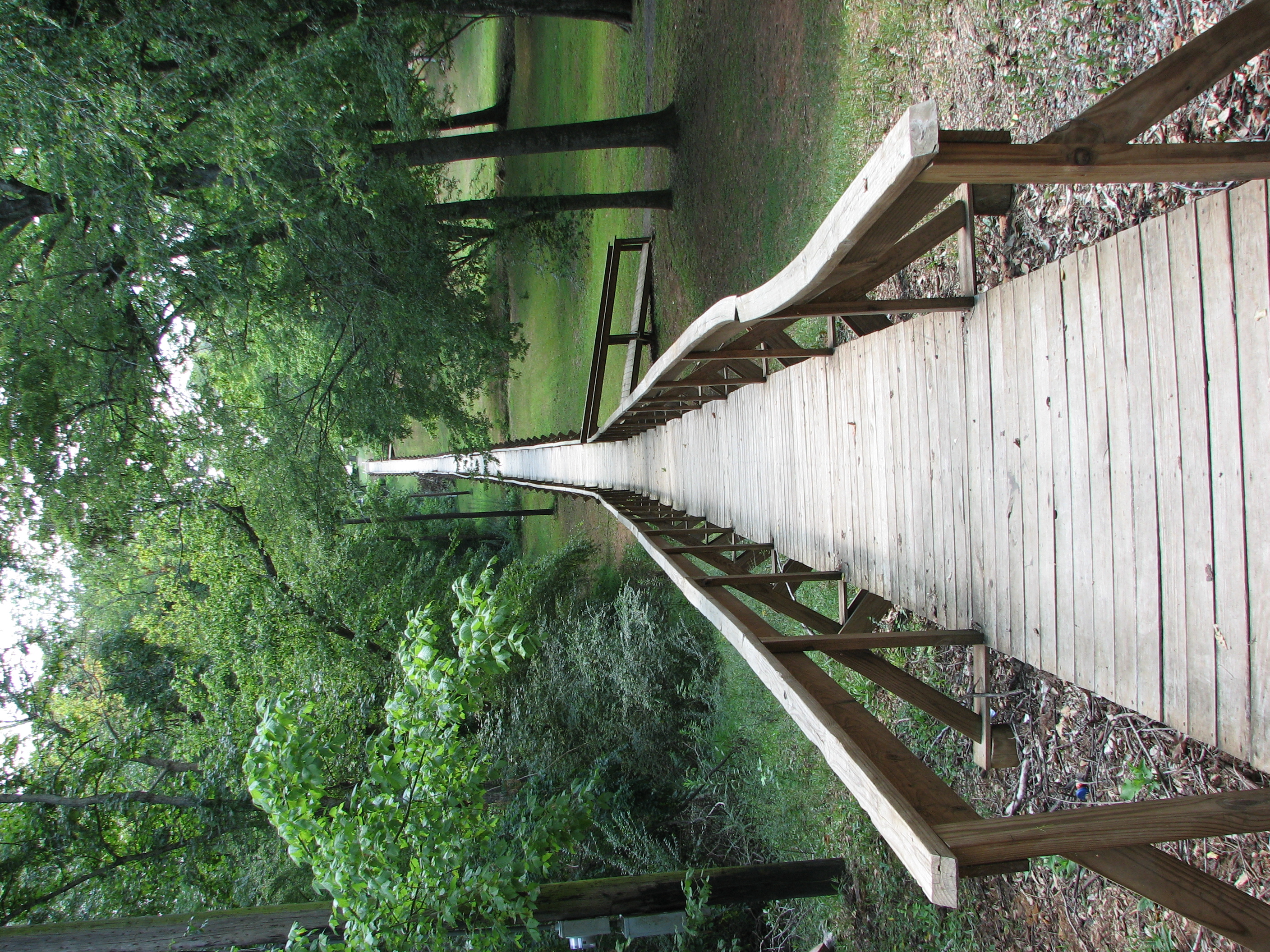
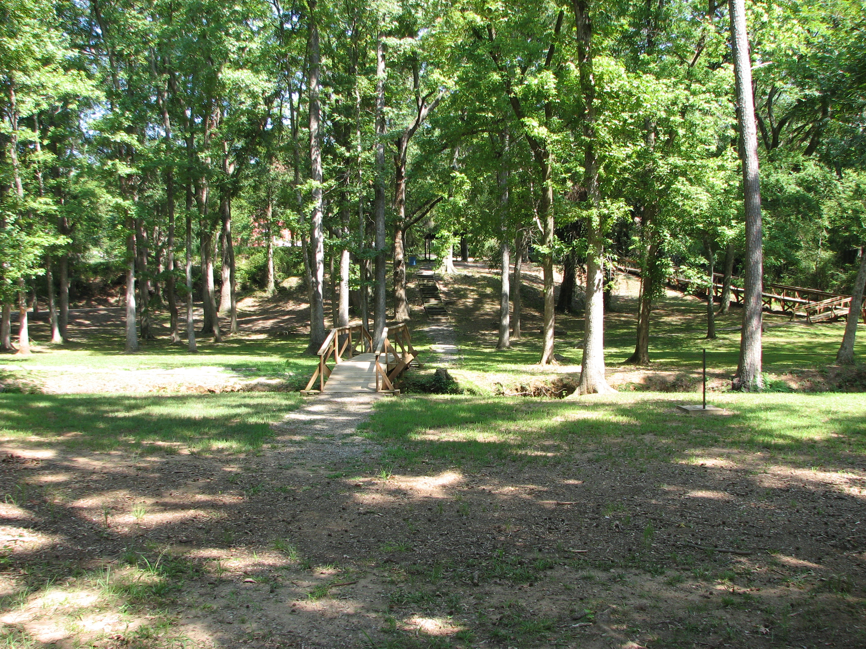
Rusk Footbridge long view
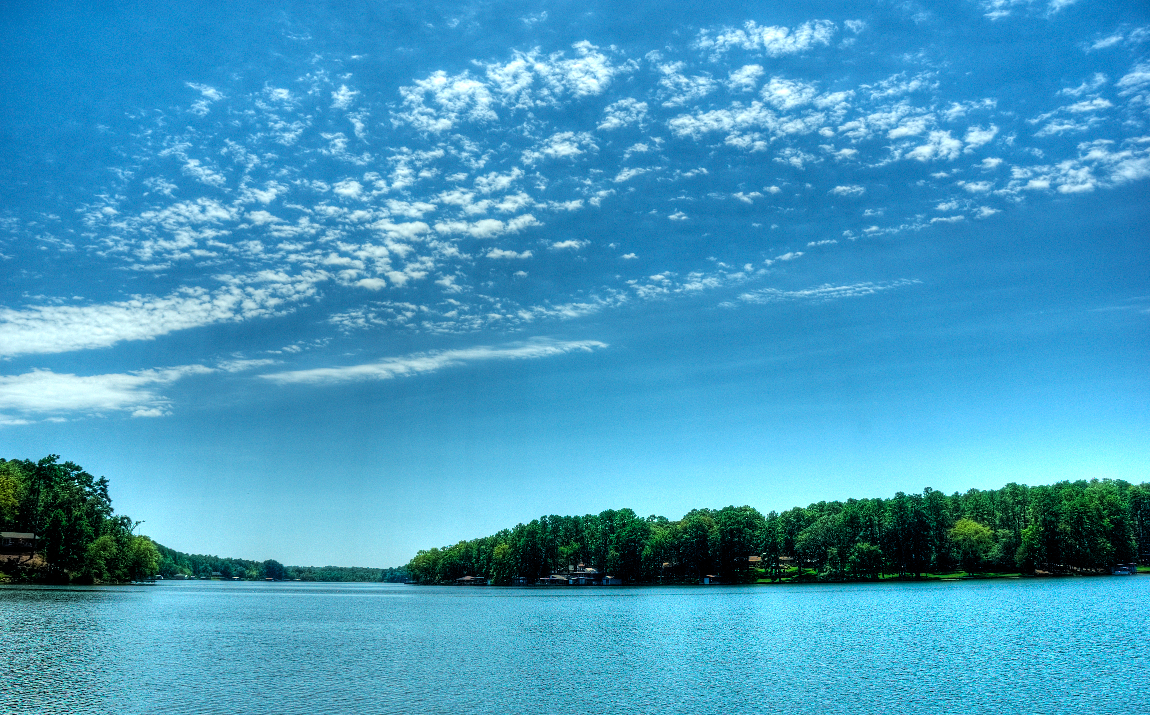
view from dock
Kids Camp 2012 | Rusk, TX

Rock Star
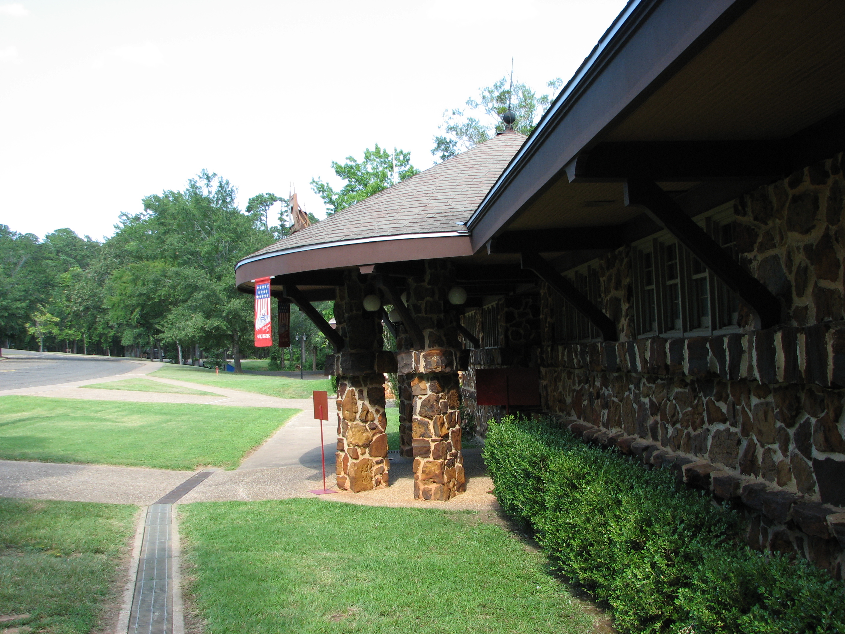
Side view of Depot Entrance from parking
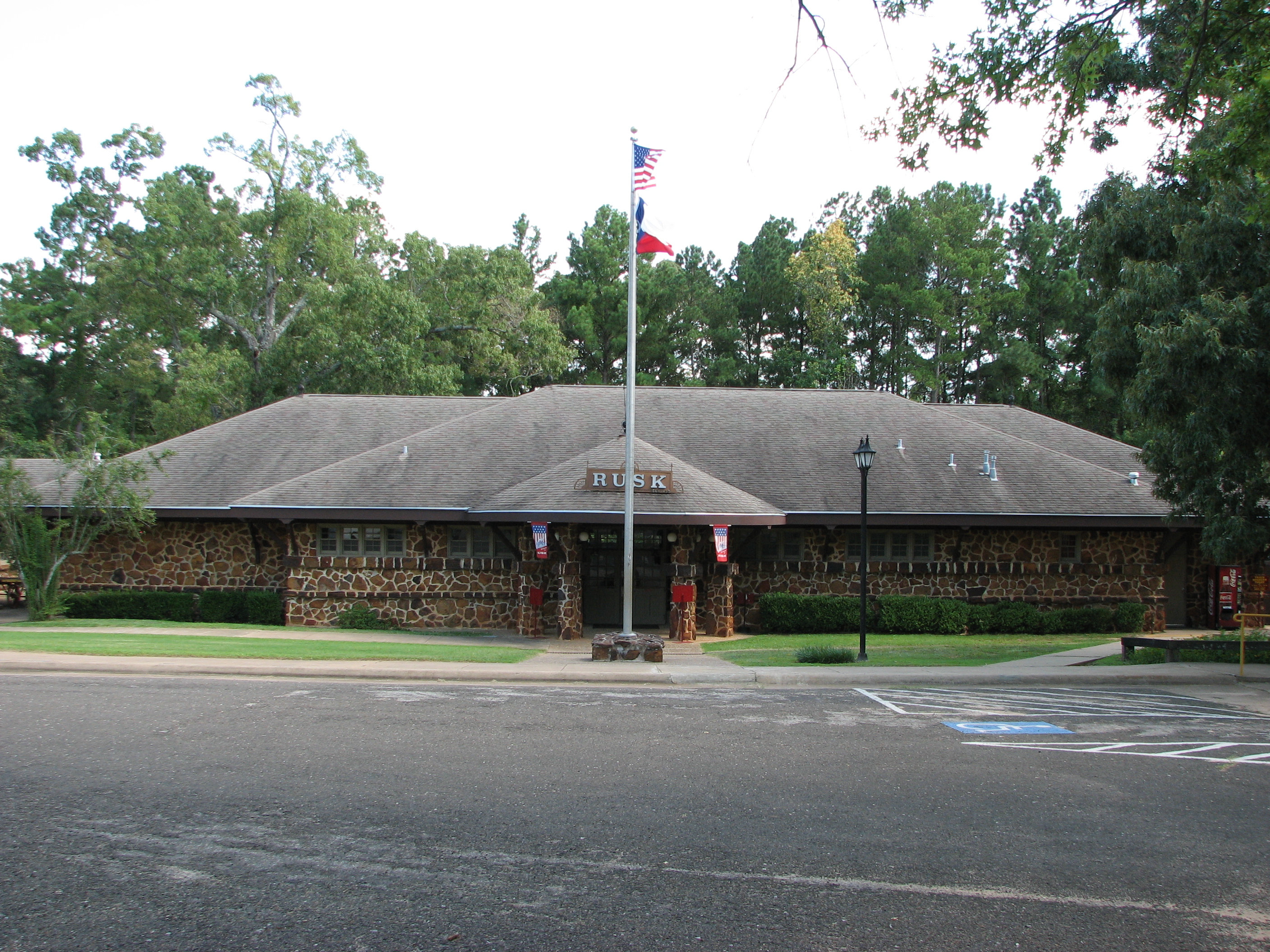
Depot as viewed from parking
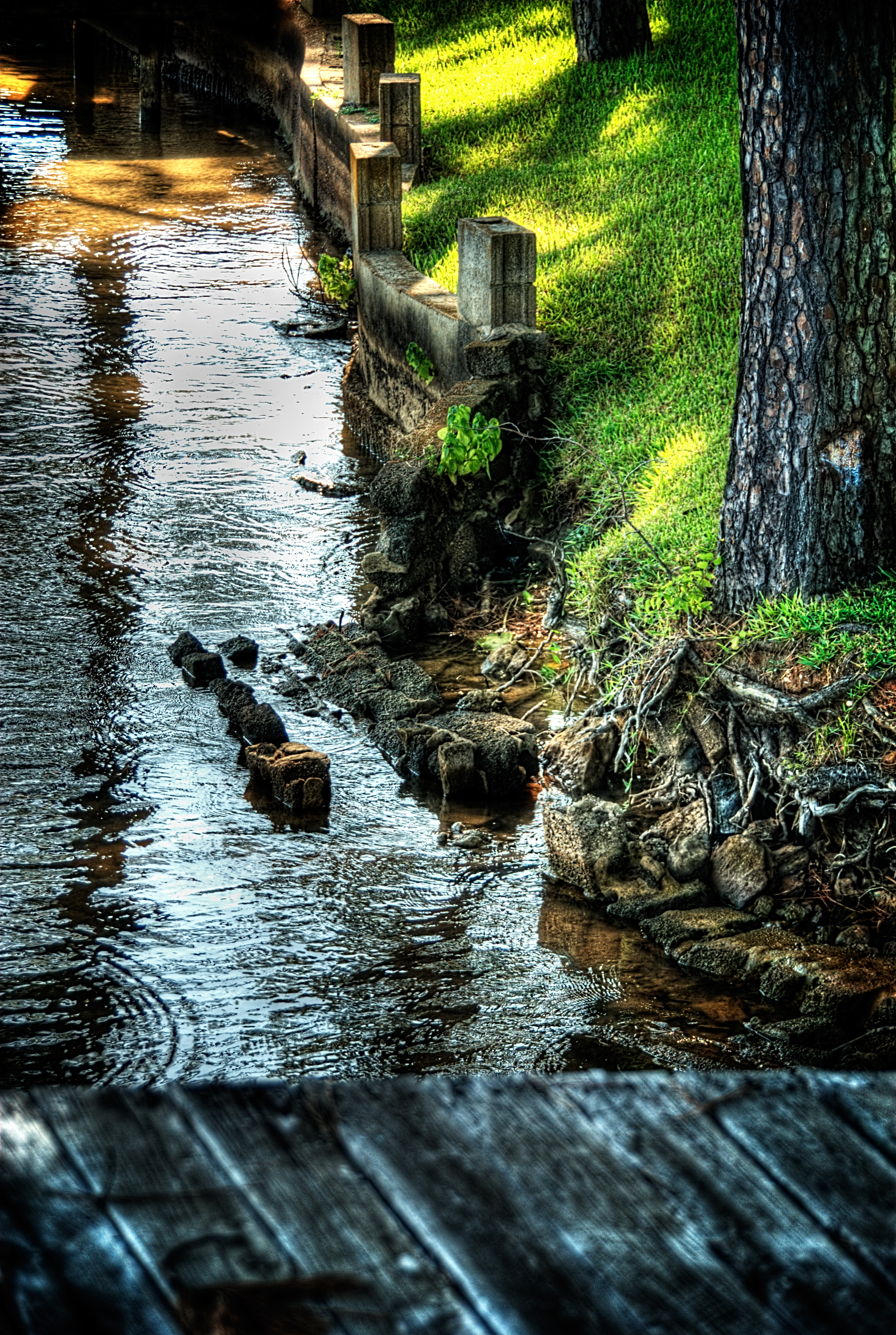
shore line
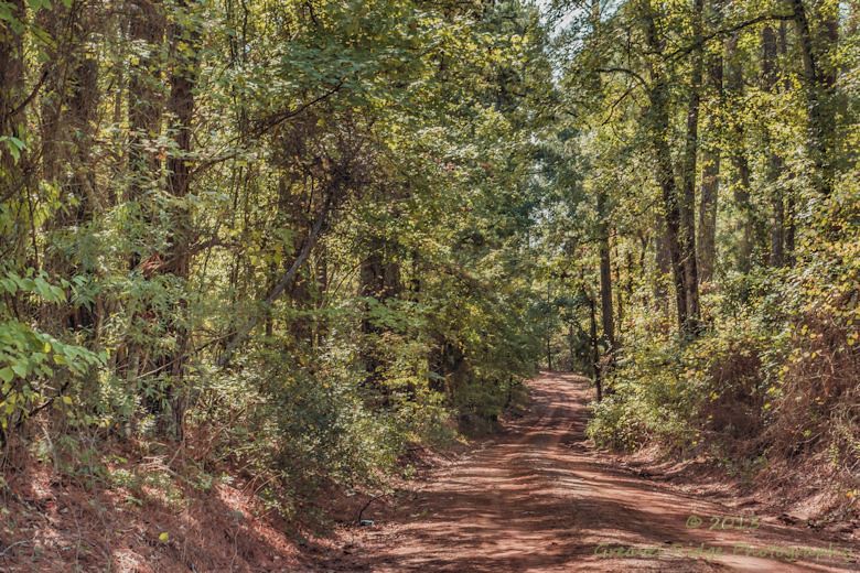
Oh those East Texas Red Dirt Roads

Camino…
Rusk Footbridge in background of another bridge

Rusk Footbridge across the park
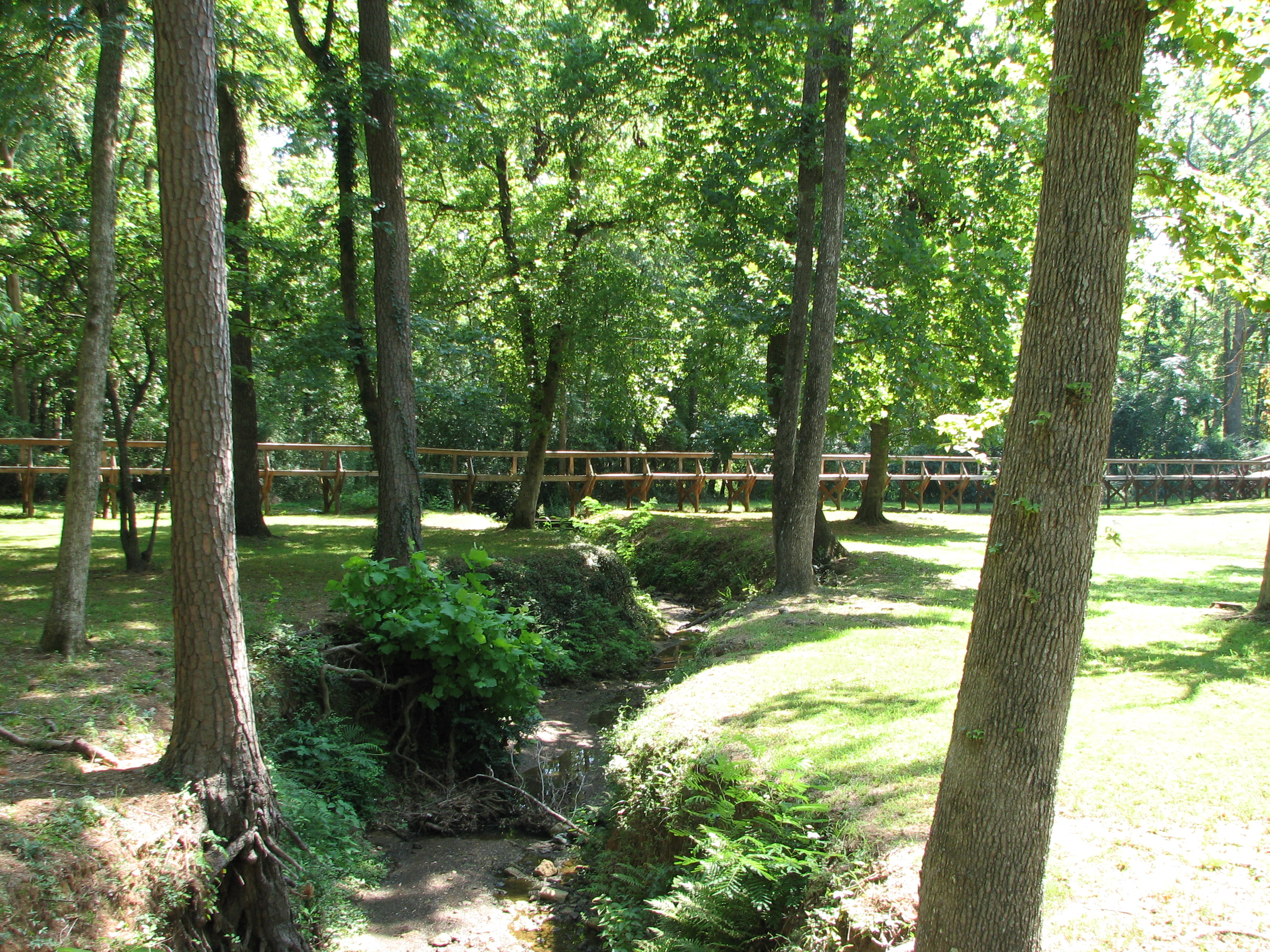
Rusk Footbridge through the trees
Topographic Map of Co Rd, Jacksonville, TX, USA
Find elevation by address:

Places near Co Rd, Jacksonville, TX, USA:
5854 Fm 347
Co Rd, Jacksonville, TX, USA
2185 Co Rd 3104
Jacksonville, TX, USA
Ghent Mountain
Gallatin
871 S Dry Creek Rd
871 S Dry Creek Rd
4353 Fm 1248
1745 Co Rd 3113
1745 Co Rd 3113
326 Barron St
Rusk
1311 S Jackson St
Cherokee County
6300 Co Rd 1405
6300 Co Rd 1405
6300 Co Rd 1405
Jacksonville
Tomato Bowl
Recent Searches:
- Elevation of Corso Fratelli Cairoli, 35, Macerata MC, Italy
- Elevation of Tallevast Rd, Sarasota, FL, USA
- Elevation of 4th St E, Sonoma, CA, USA
- Elevation of Black Hollow Rd, Pennsdale, PA, USA
- Elevation of Oakland Ave, Williamsport, PA, USA
- Elevation of Pedrógão Grande, Portugal
- Elevation of Klee Dr, Martinsburg, WV, USA
- Elevation of Via Roma, Pieranica CR, Italy
- Elevation of Tavkvetili Mountain, Georgia
- Elevation of Hartfords Bluff Cir, Mt Pleasant, SC, USA