Elevation of Jacksonville, TX, USA
Location: United States > Texas > Cherokee County >
Longitude: -95.2705042
Latitude: 31.963778
Elevation: 159m / 522feet
Barometric Pressure: 0KPa
Related Photos:
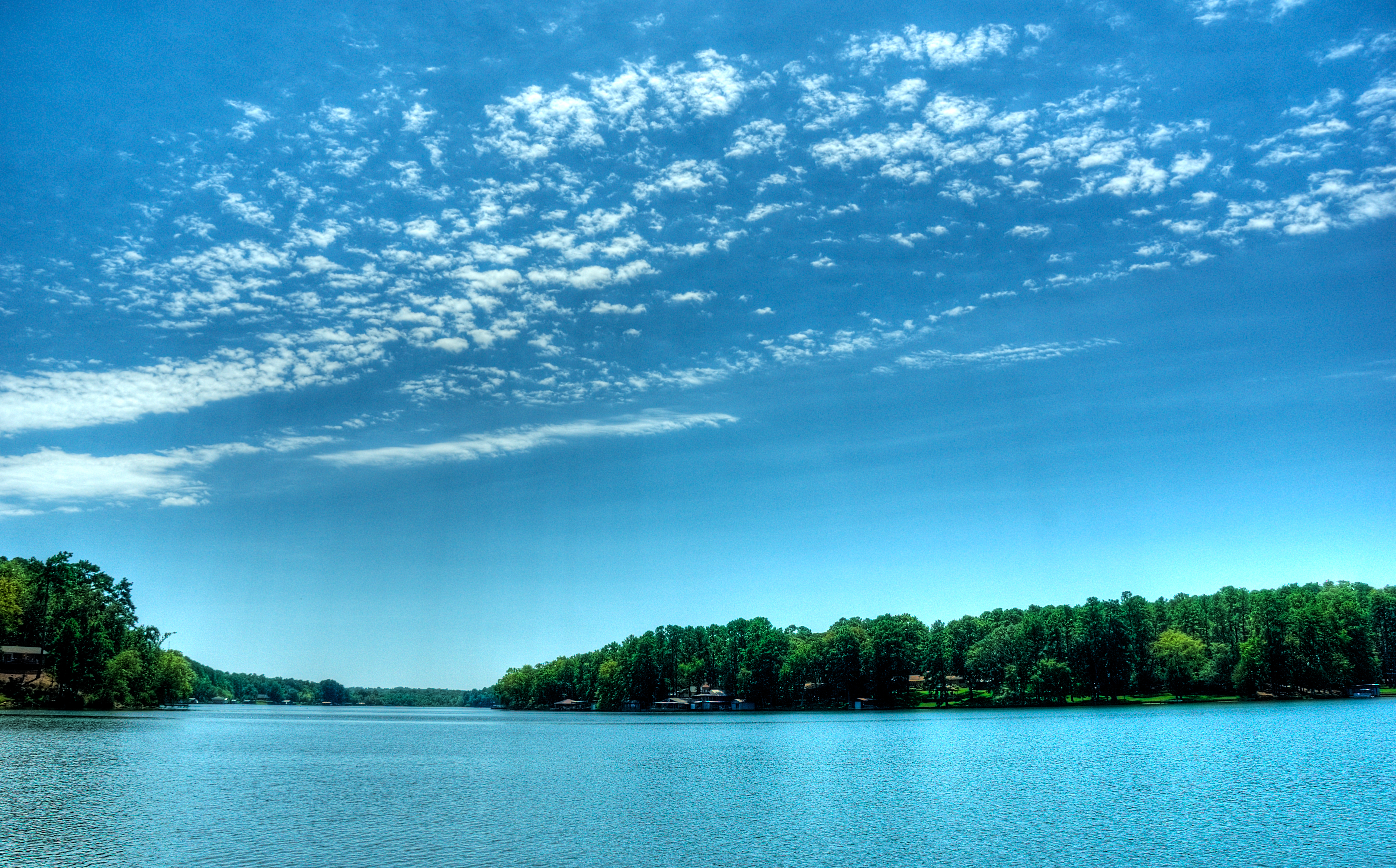
view from dock
^LovesLookout^ For you Craig and your hard work at park...
Another view.,,

Looking through the Lone Star

The Historical Marker

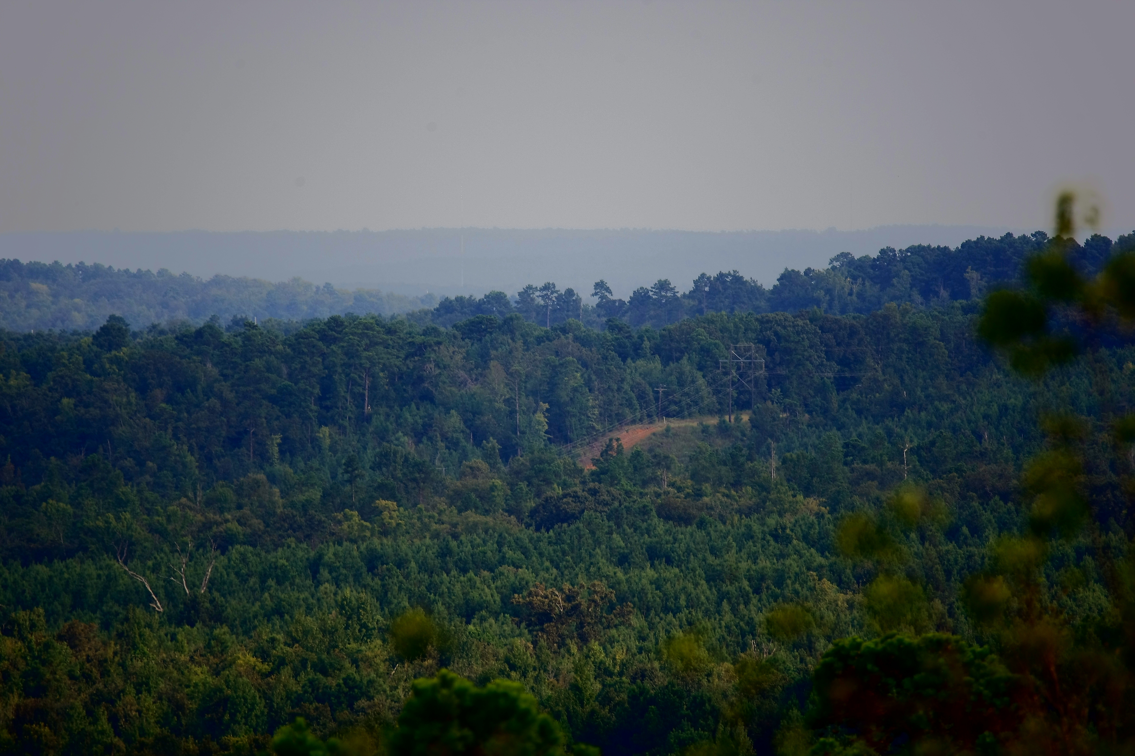
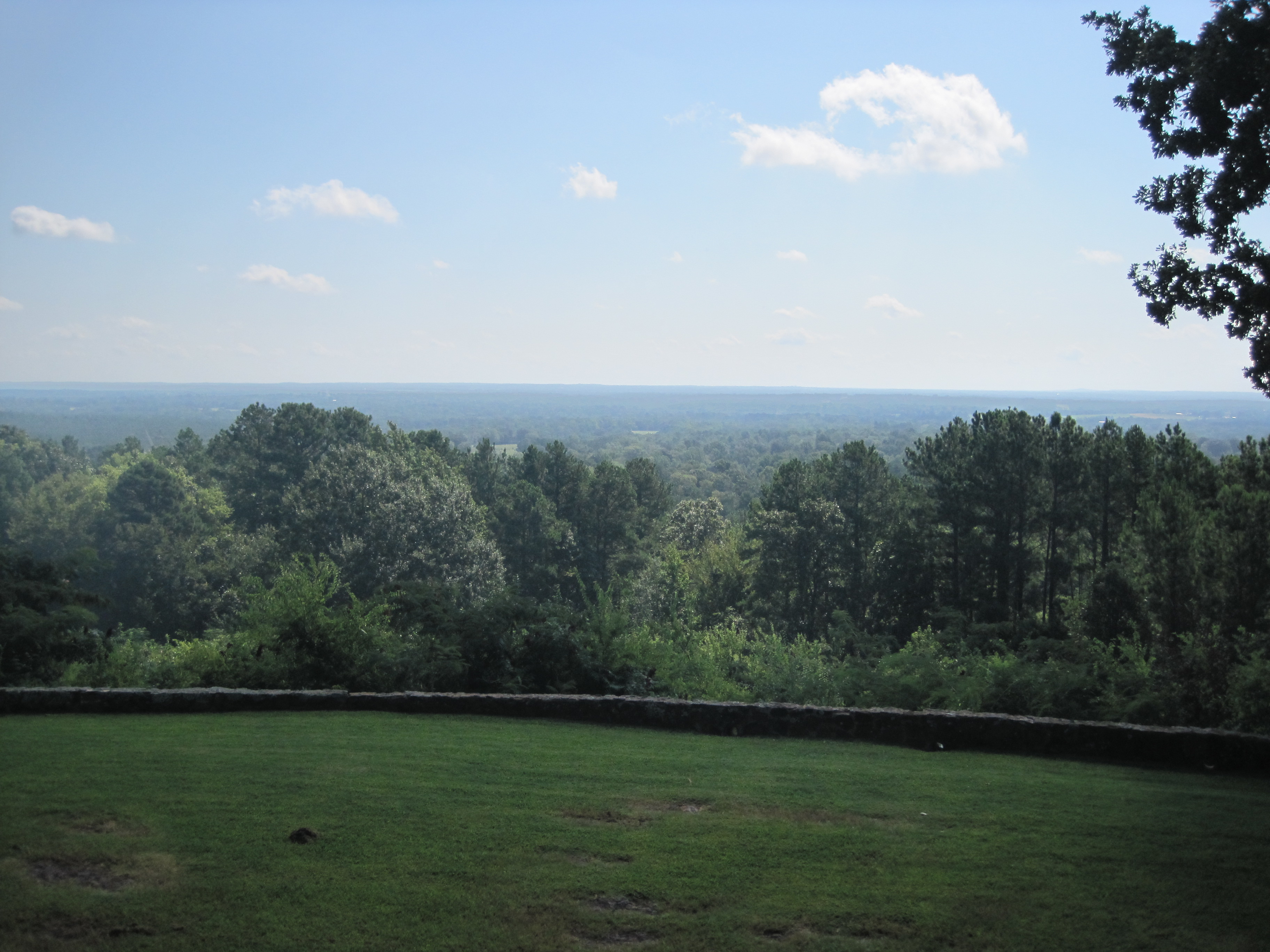
Love's Summit View
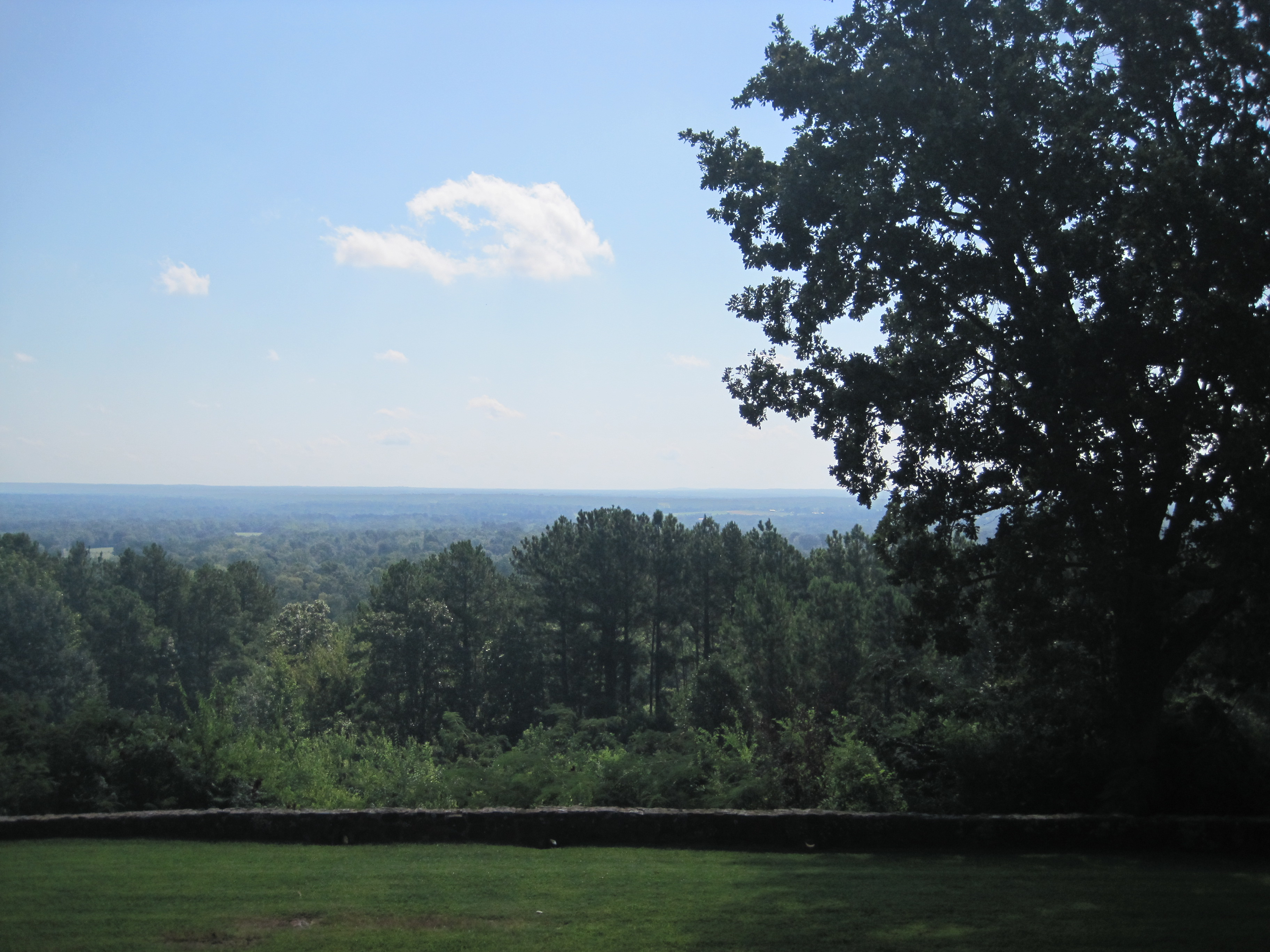
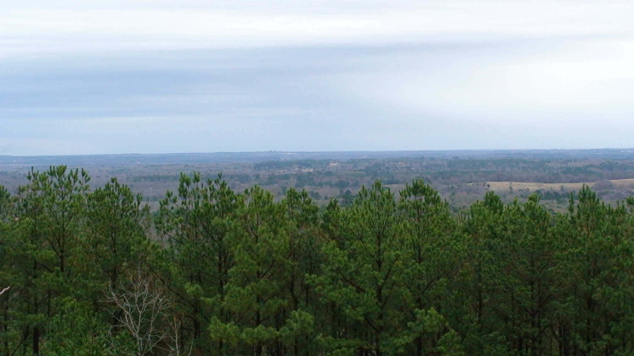
Lookout right

Viewed-N-TECHniCOLOUR..

More of Love's Summit
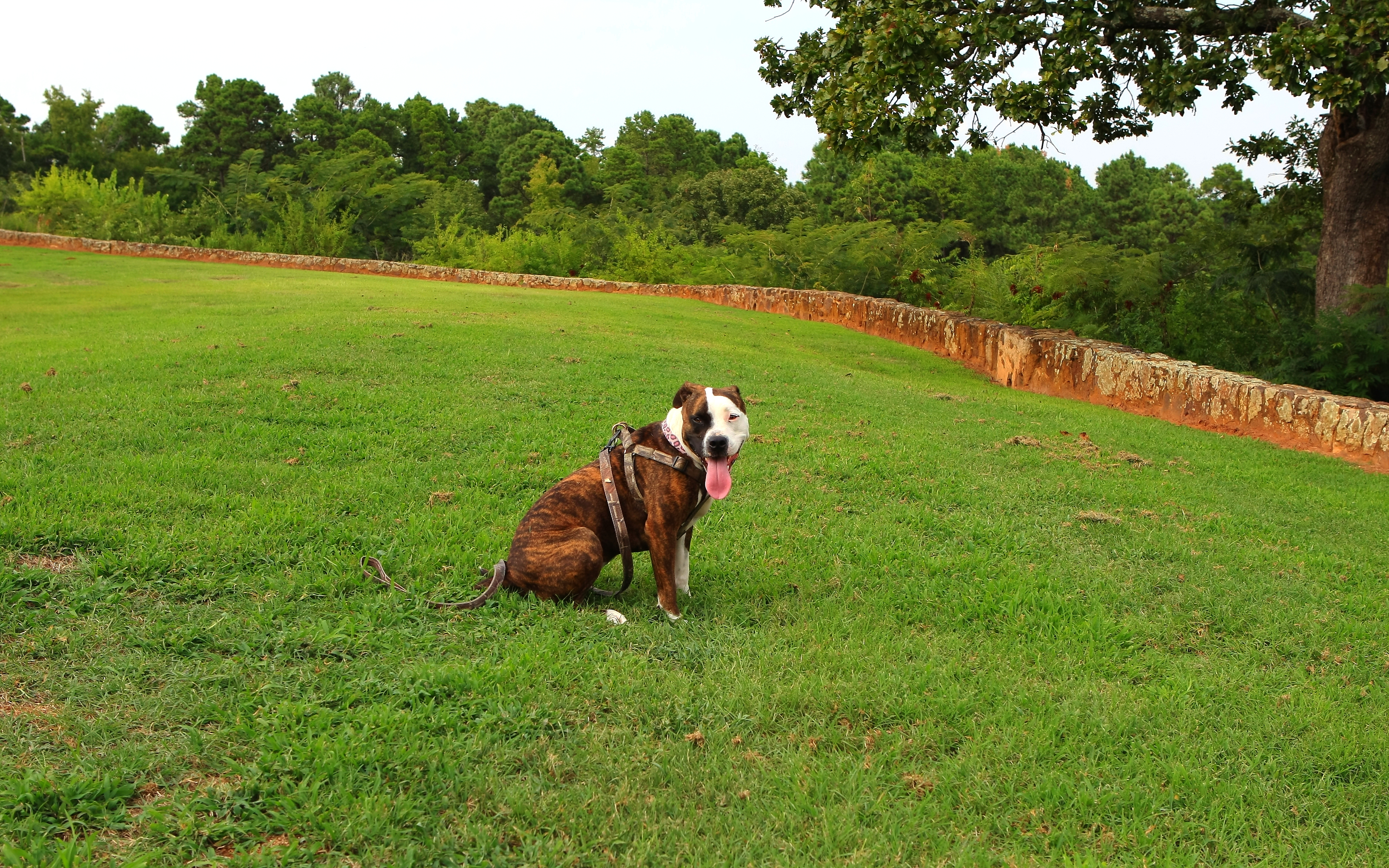
Brandi enjoying View
Lookout left

shore line

Camino…

IMG_6934-Edit
luvs look out
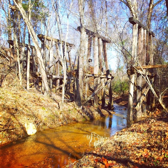
#SP #TNO #Cuney T&NO subsidiary of #SouthernPacific #rsa_theyards #railroading
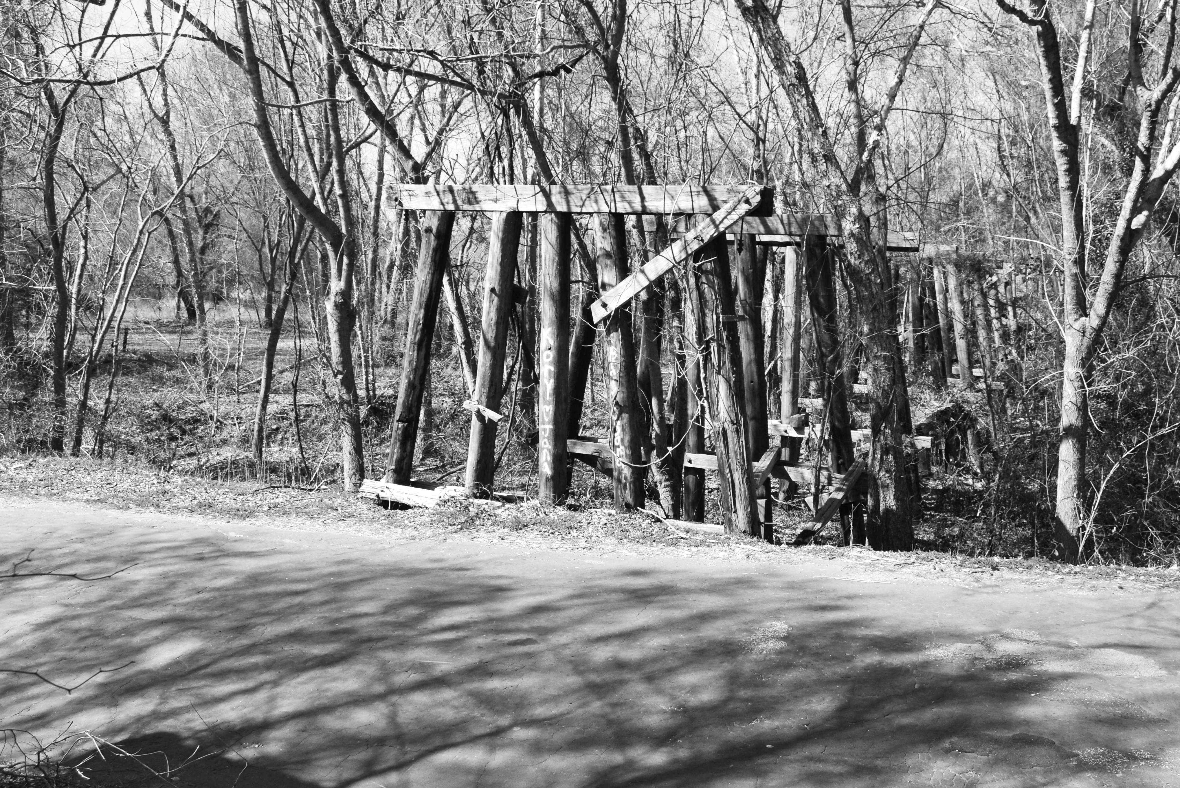
Abandoned Railroad Trestle over Jordan Creek & CR 3313, Cuney, Texas 1502131209abw
Topographic Map of Jacksonville, TX, USA
Find elevation by address:

Places in Jacksonville, TX, USA:
Co Rd, Jacksonville, TX, USA
5854 Fm 347
2185 Co Rd 3104
Ghent Mountain
1311 S Jackson St
Tomato Bowl
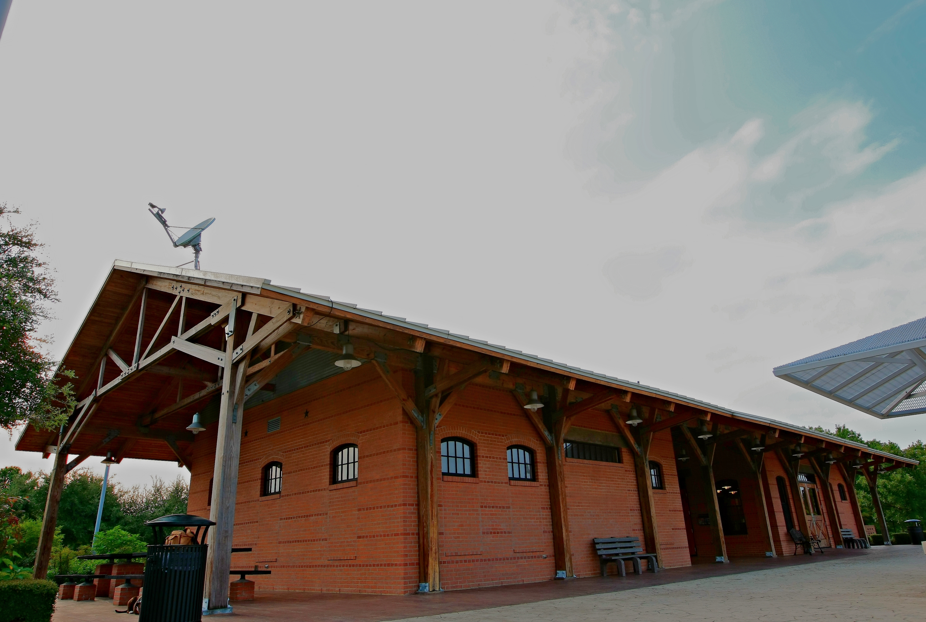
Love's Lookout
11x17 Office Solutions
Co Rd, Jacksonville, TX, USA
1745 Co Rd 3113
Creek, Jacksonville, TX, USA
6300 Co Rd 1405
6300 Co Rd 1405
6300 Co Rd 1405
Co Rd, Jacksonville, TX, USA
1745 Co Rd 3113
Jacksonville, TX, USA
Places near Jacksonville, TX, USA:
Tomato Bowl
1311 S Jackson St
11x17 Office Solutions
Jacksonville, TX, USA
Co Rd, Jacksonville, TX, USA
1745 Co Rd 3113
1745 Co Rd 3113
2185 Co Rd 3104
Co Rd, Jacksonville, TX, USA
6300 Co Rd 1405
6300 Co Rd 1405
6300 Co Rd 1405
Love's Lookout
634 Co Rd 3432
5854 Fm 347
Co Rd, Bullard, TX, USA
Co Rd, Jacksonville, TX, USA
Ghent Mountain
FM, Troup, TX, USA
County Road 4223
Recent Searches:
- Elevation map of Greenland, Greenland
- Elevation of Sullivan Hill, New York, New York, 10002, USA
- Elevation of Morehead Road, Withrow Downs, Charlotte, Mecklenburg County, North Carolina, 28262, USA
- Elevation of 2800, Morehead Road, Withrow Downs, Charlotte, Mecklenburg County, North Carolina, 28262, USA
- Elevation of Yangbi Yi Autonomous County, Yunnan, China
- Elevation of Pingpo, Yangbi Yi Autonomous County, Yunnan, China
- Elevation of Mount Malong, Pingpo, Yangbi Yi Autonomous County, Yunnan, China
- Elevation map of Yongping County, Yunnan, China
- Elevation of North 8th Street, Palatka, Putnam County, Florida, 32177, USA
- Elevation of 107, Big Apple Road, East Palatka, Putnam County, Florida, 32131, USA
- Elevation of Jiezi, Chongzhou City, Sichuan, China
- Elevation of Chongzhou City, Sichuan, China
- Elevation of Huaiyuan, Chongzhou City, Sichuan, China
- Elevation of Qingxia, Chengdu, Sichuan, China
- Elevation of Corso Fratelli Cairoli, 35, Macerata MC, Italy
- Elevation of Tallevast Rd, Sarasota, FL, USA
- Elevation of 4th St E, Sonoma, CA, USA
- Elevation of Black Hollow Rd, Pennsdale, PA, USA
- Elevation of Oakland Ave, Williamsport, PA, USA
- Elevation of Pedrógão Grande, Portugal