Elevation of S Birch St, Hulbert, OK, USA
Location: United States > Oklahoma > Cherokee County > Hulbert >
Longitude: -95.141152
Latitude: 35.9321708
Elevation: 191m / 627feet
Barometric Pressure: 99KPa
Elevation Map:
Satellite Map:
Related Photos:
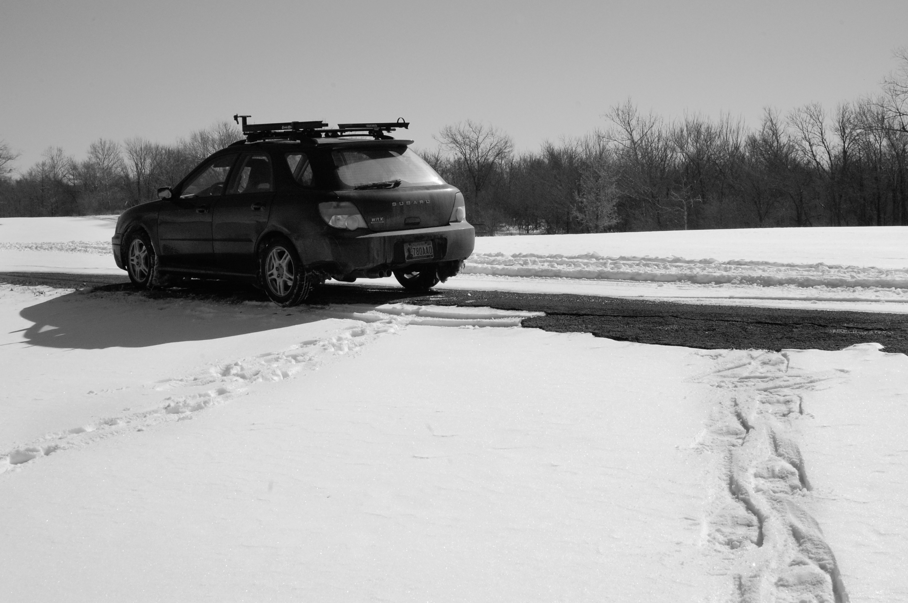
subie and snowshoe tracks at wahoo bay
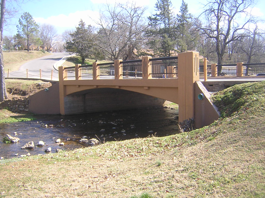
Choctaw Street Bridge
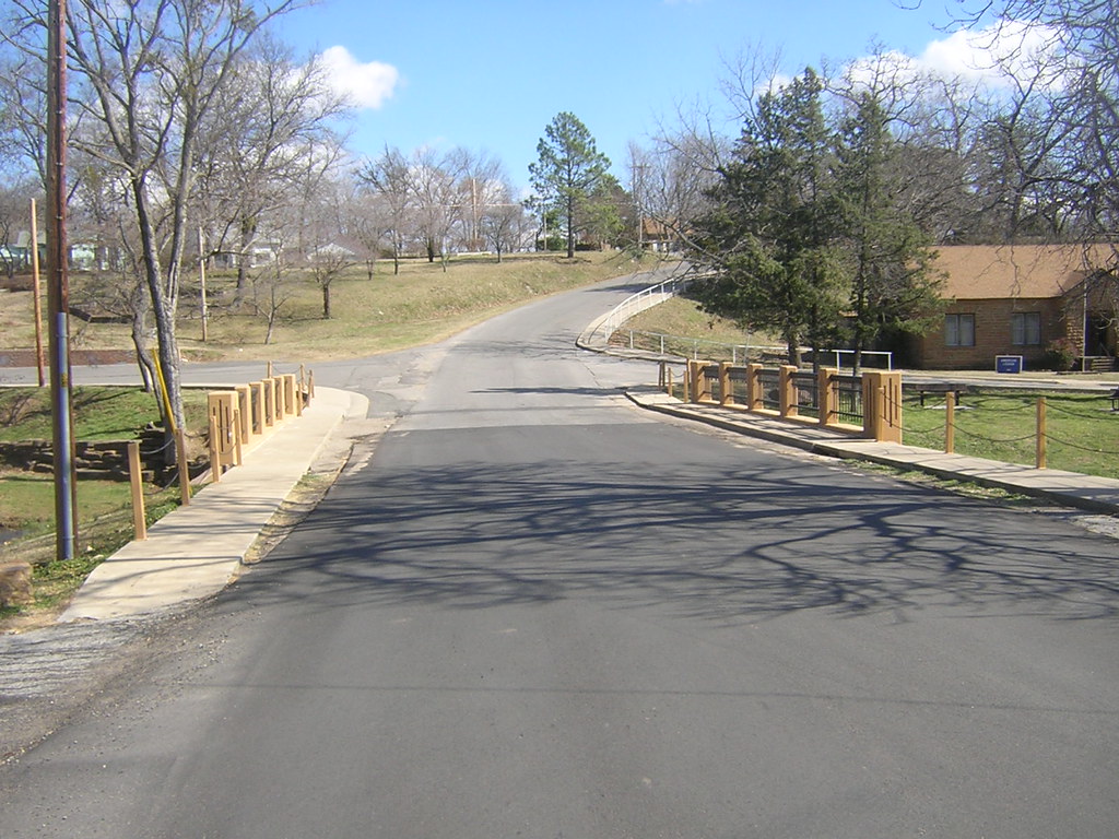
Side View: Shawnee St Bridge
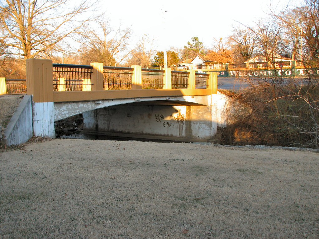
Choctaw Street Bridge Looking East
Grand River

Rocks and Shadow, Sequoyah State Park
dam pics 158
Brown world
the beast

Ice, force, frozen
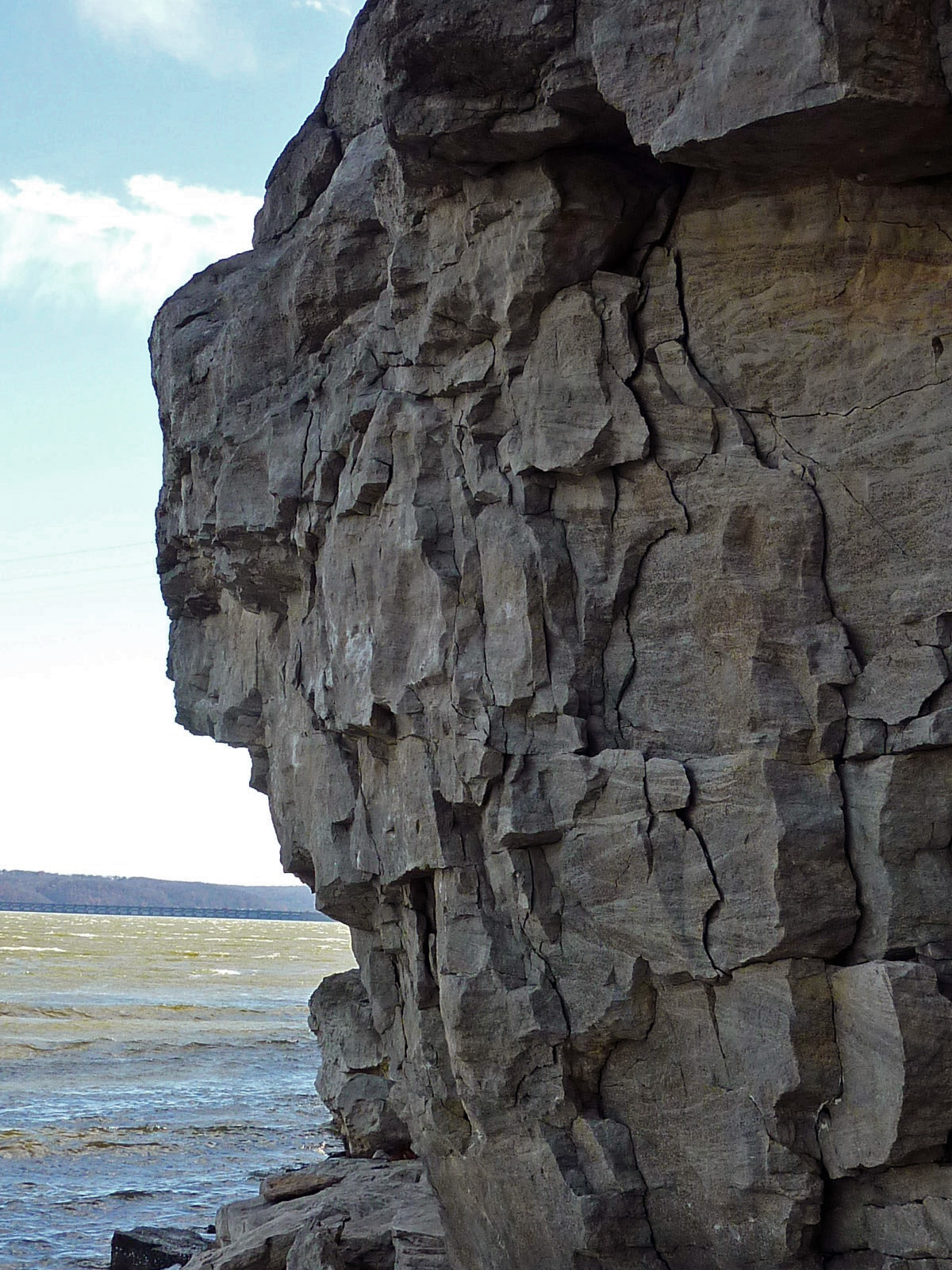
Fort Gibson Shoreline Rocks
Run-off

My dad's pond

Haily in Tahleguah (killer in the creek)
Water park on the NSU campus in Tahlequah, Oklahoma.
Topographic Map of S Birch St, Hulbert, OK, USA
Find elevation by address:

Places near S Birch St, Hulbert, OK, USA:
Hulbert
12707 N 400 Rd
Wildwood Rv Park
West Rocky Top Road
21408 S 380 Rd
19623 Ok-80
Braggs, OK, USA
20076 S Pistol Point Rd
West Weeping Rock Road
Crescent Valley Baptist Church
127 Ok-10
Eagle Circle
3760 W 821 Rd
1307 Oakhill Ln
70156 S 339 Pl
Mallard Bay
Neosho River
1501 E Benge Rd
Cherokee County
Bryant Inc
Recent Searches:
- Elevation of Corso Fratelli Cairoli, 35, Macerata MC, Italy
- Elevation of Tallevast Rd, Sarasota, FL, USA
- Elevation of 4th St E, Sonoma, CA, USA
- Elevation of Black Hollow Rd, Pennsdale, PA, USA
- Elevation of Oakland Ave, Williamsport, PA, USA
- Elevation of Pedrógão Grande, Portugal
- Elevation of Klee Dr, Martinsburg, WV, USA
- Elevation of Via Roma, Pieranica CR, Italy
- Elevation of Tavkvetili Mountain, Georgia
- Elevation of Hartfords Bluff Cir, Mt Pleasant, SC, USA