Elevation of Crescent Valley Baptist Church, S Cres Valley Rd, Tahlequah, OK, USA
Location: United States > Oklahoma > Cherokee County > Tahlequah >
Longitude: -95.089787
Latitude: 35.8033
Elevation: 224m / 735feet
Barometric Pressure: 99KPa
Elevation Map:
Satellite Map:
Related Photos:

Heron (Explore)

Heron in flight

Heron turf battle

Pelican with a snack

Heron in flight

Juvenile Eagle

Black Vulture

Eagle Juvie
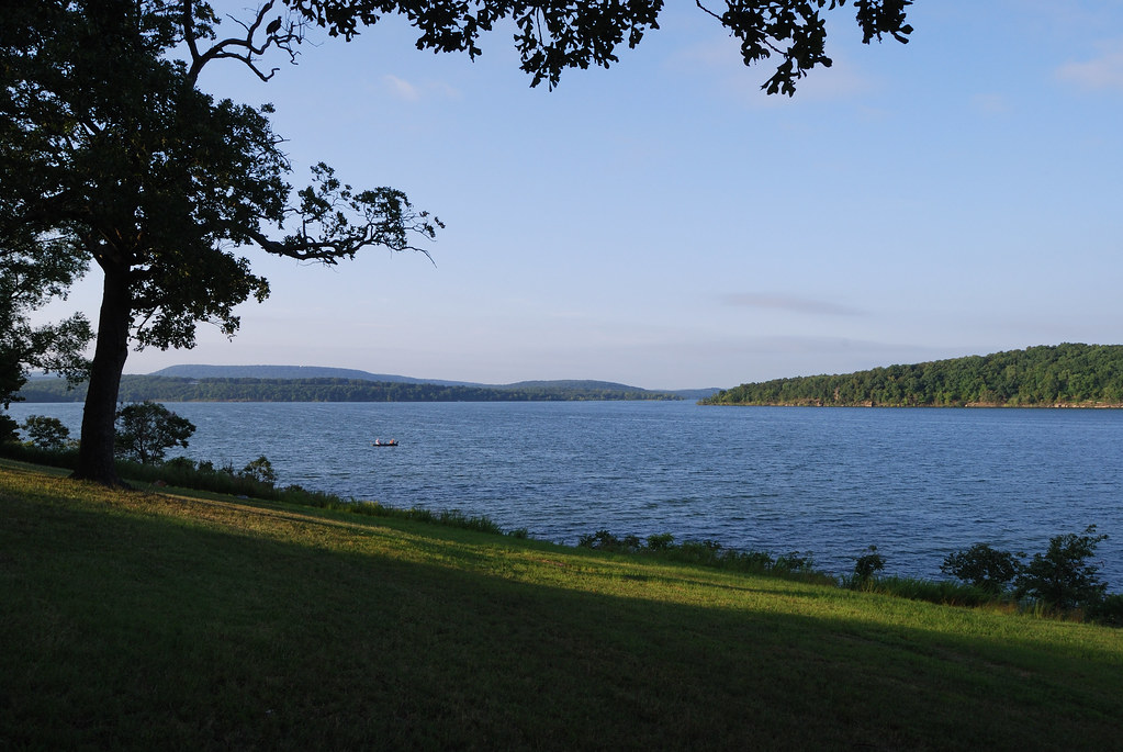
Tenkiller Lake, Oklahoma

Choctaw Street Bridge

Choctaw Street Bridge Looking East

Landscape, Hulbert, OK

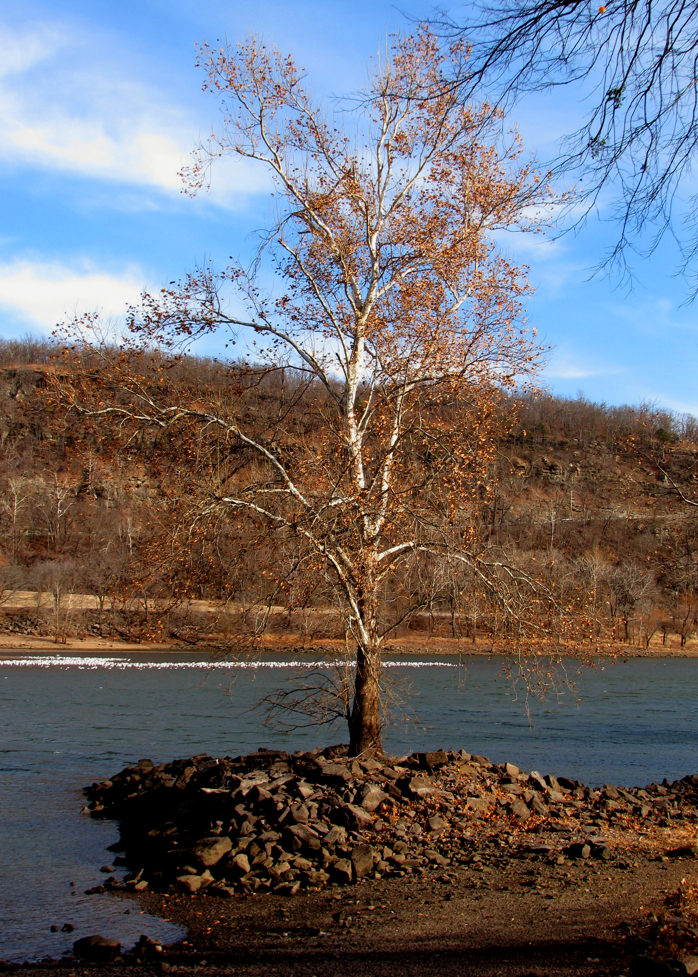
Oklahoma Drought (flickr blog 8/1/11, Explored #257, 8/5/11)

Ranch, Hulbert, OK

Camping at Tenkiller Lake, Oklahoma

Ranch Landscape, Hulbert, OK

Run-off
dam pics 158

Brown world
Topographic Map of Crescent Valley Baptist Church, S Cres Valley Rd, Tahlequah, OK, USA
Find elevation by address:

Places near Crescent Valley Baptist Church, S Cres Valley Rd, Tahlequah, OK, USA:
West Rocky Top Road
127 Ok-10
17675 S Muskogee Ave
1501 E Benge Rd
19116 W Dojaro Rd
S Birch St, Hulbert, OK, USA
Hulbert
21408 S 380 Rd
1307 Oakhill Ln
E Rogers Dr, Tahlequah, OK, USA
Park Hill
West Weeping Rock Road
Cherokee County
3760 W 821 Rd
Roosevelt Avenue
Bryant Inc
Braggs, OK, USA
Fort Gibson
Tahlequah
20076 S Pistol Point Rd
Recent Searches:
- Elevation of Corso Fratelli Cairoli, 35, Macerata MC, Italy
- Elevation of Tallevast Rd, Sarasota, FL, USA
- Elevation of 4th St E, Sonoma, CA, USA
- Elevation of Black Hollow Rd, Pennsdale, PA, USA
- Elevation of Oakland Ave, Williamsport, PA, USA
- Elevation of Pedrógão Grande, Portugal
- Elevation of Klee Dr, Martinsburg, WV, USA
- Elevation of Via Roma, Pieranica CR, Italy
- Elevation of Tavkvetili Mountain, Georgia
- Elevation of Hartfords Bluff Cir, Mt Pleasant, SC, USA