Elevation of N Rd, Hulbert, OK, USA
Location: United States > Oklahoma > Cherokee County > Hulbert >
Longitude: -95.173169
Latitude: 35.9916602
Elevation: 222m / 728feet
Barometric Pressure: 99KPa
Elevation Map:
Satellite Map:
Related Photos:

Juvenile Eagle

Heron in flight

Heron in flight
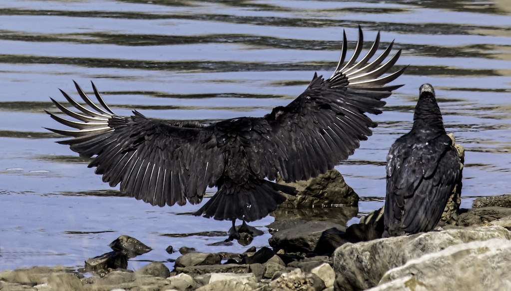
Black Vulture
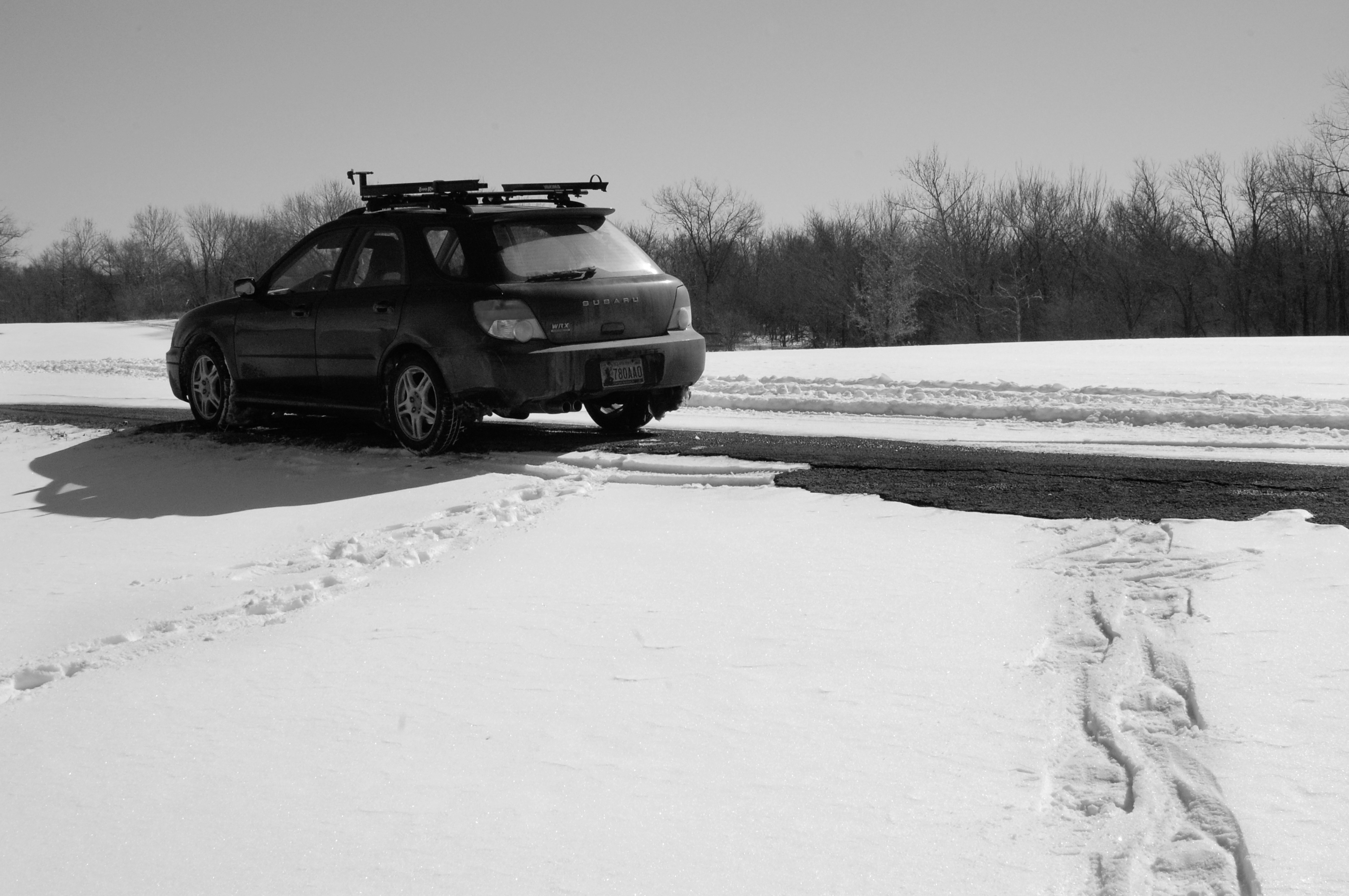
subie and snowshoe tracks at wahoo bay
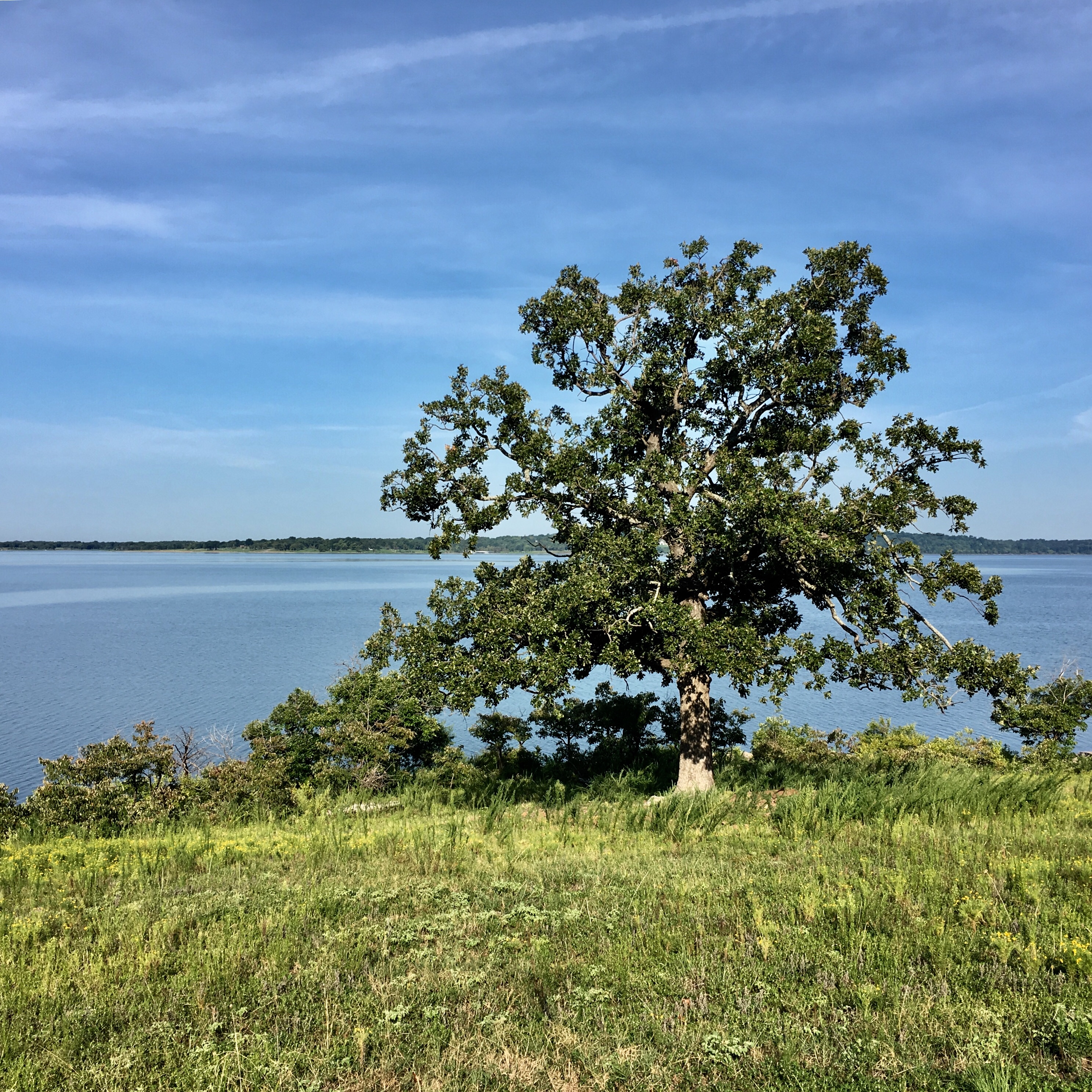
Sequoyah State Park, Hulbert, OK #oklahoma #trees
Sequoyah State Park #oklahoma
Sequoyah State Park 8/9/18 #oklahoma
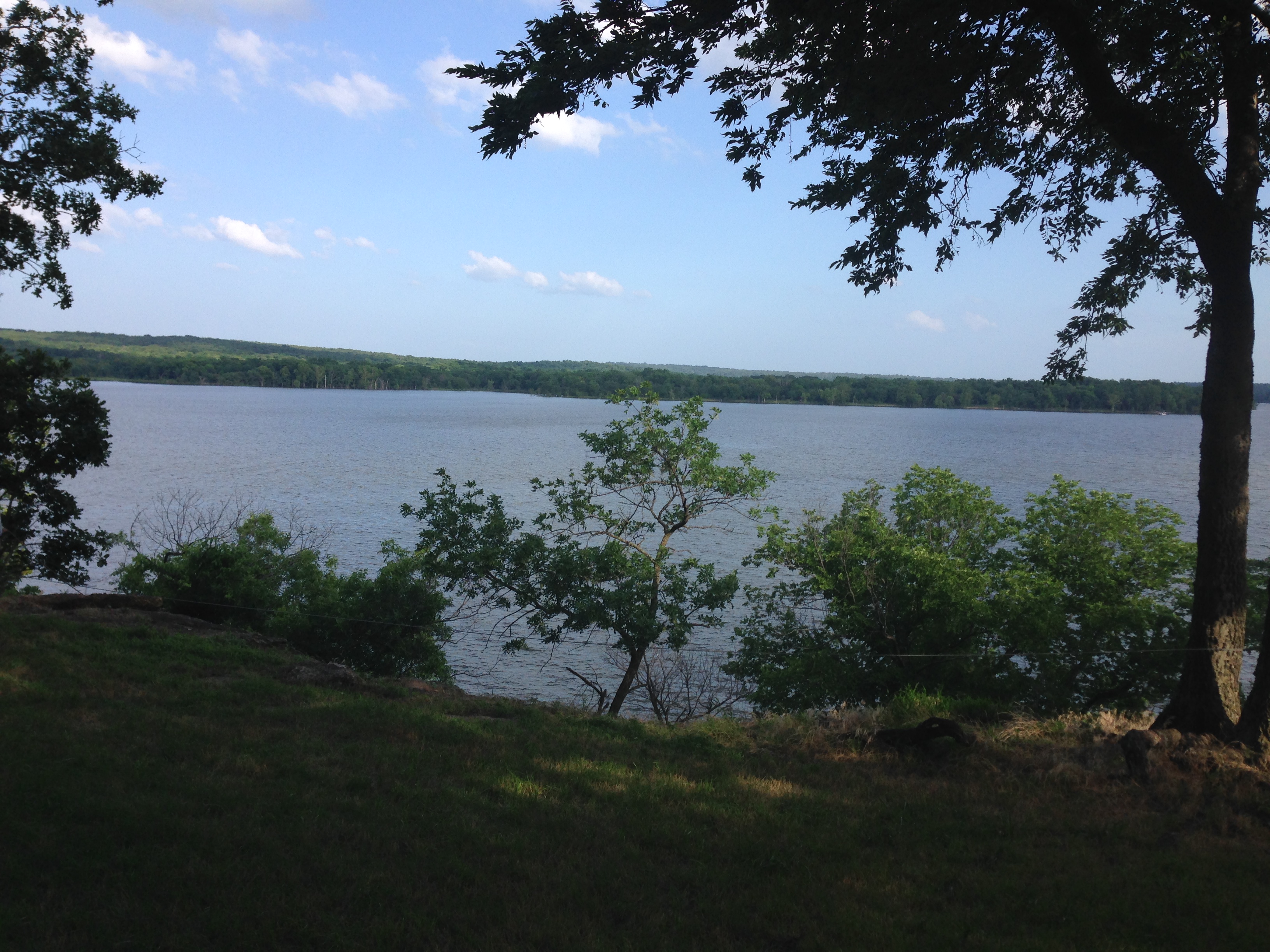
Landscape, Hulbert, OK

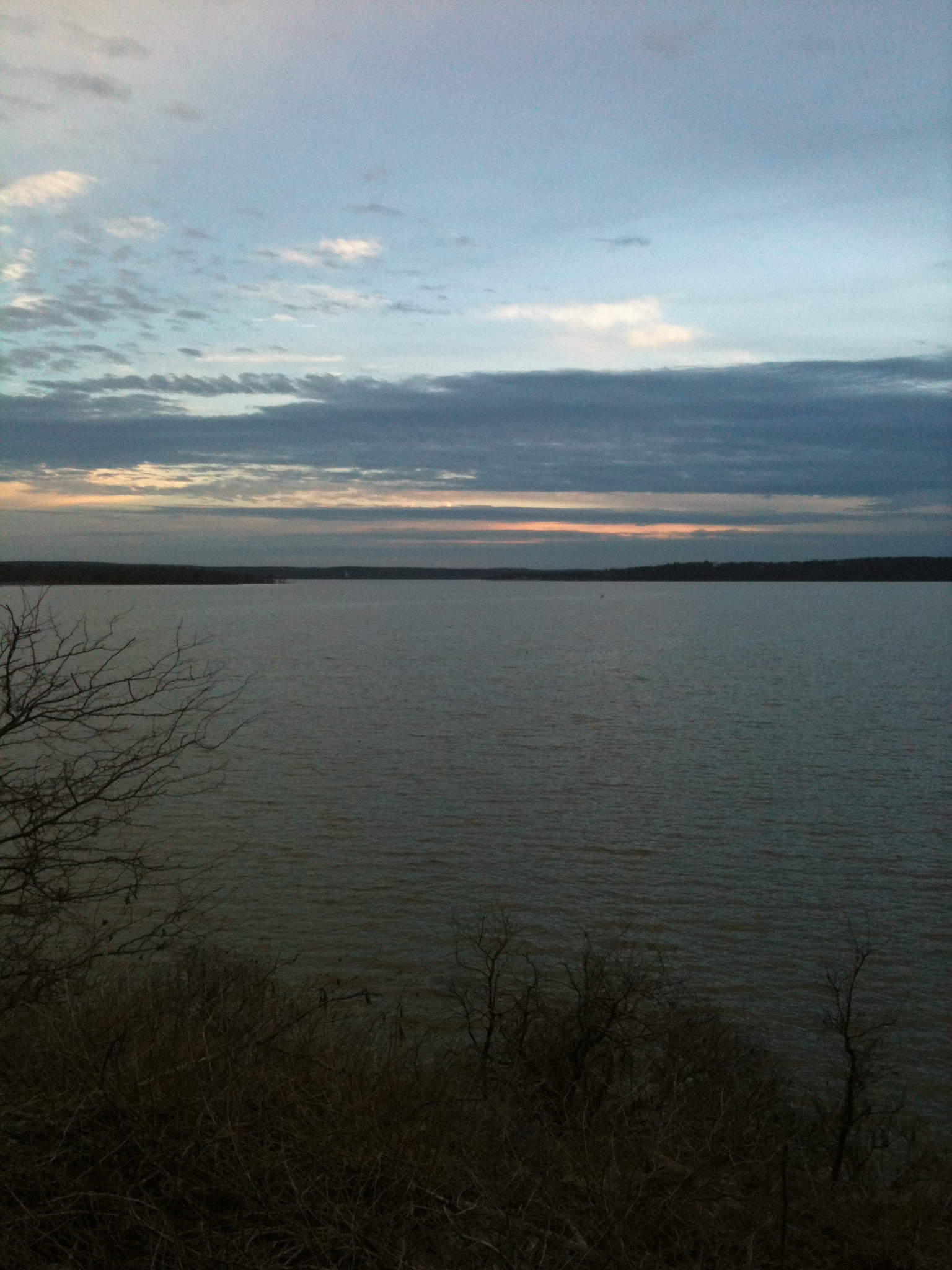
Sequoyah Park Sunset
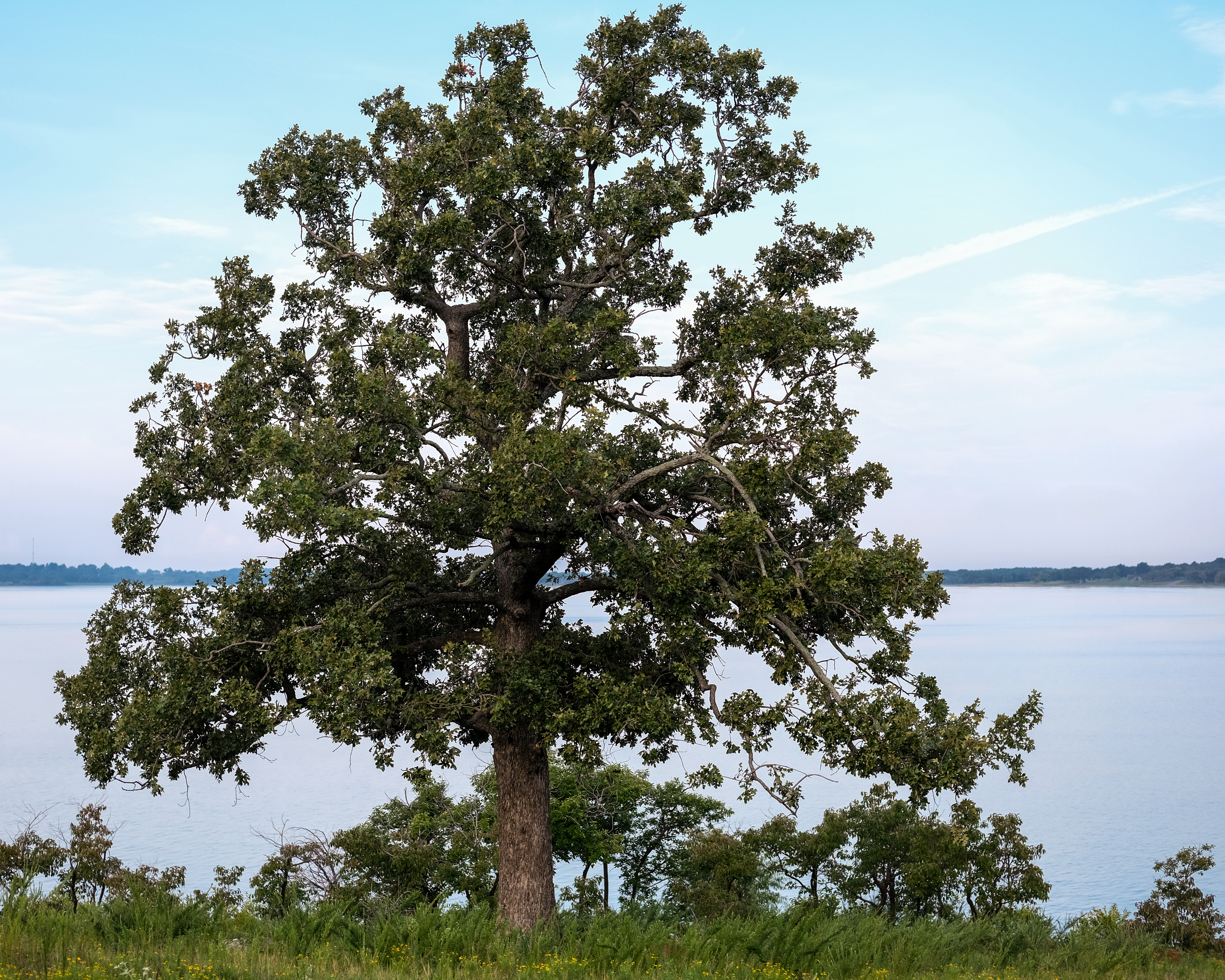
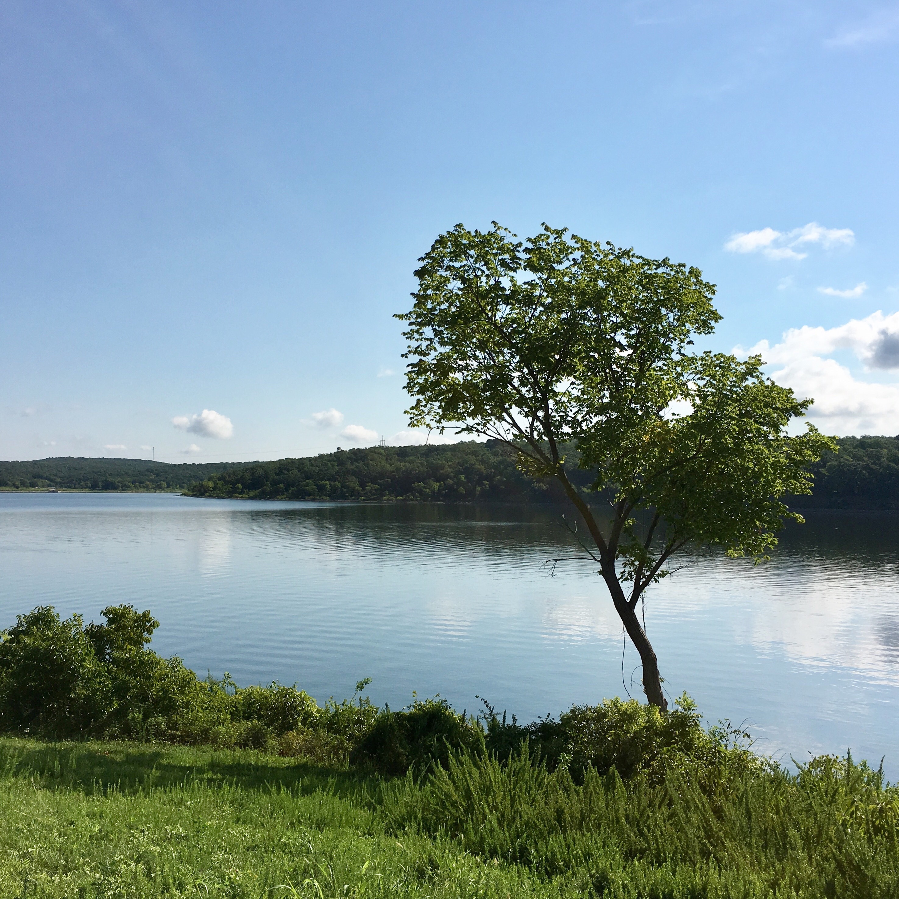
Sequoyah State Park 8/11/18 #oklahoma #trees
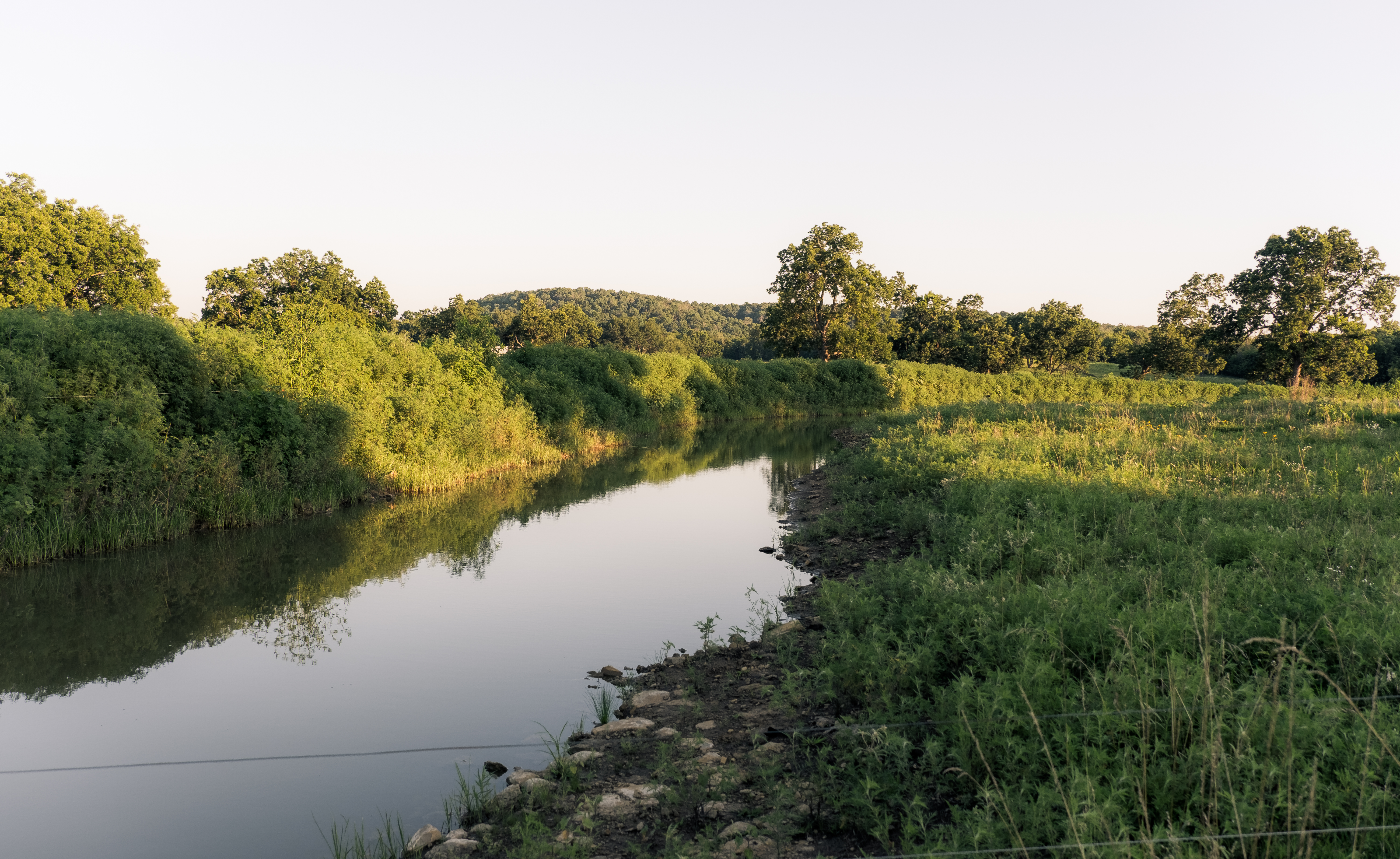
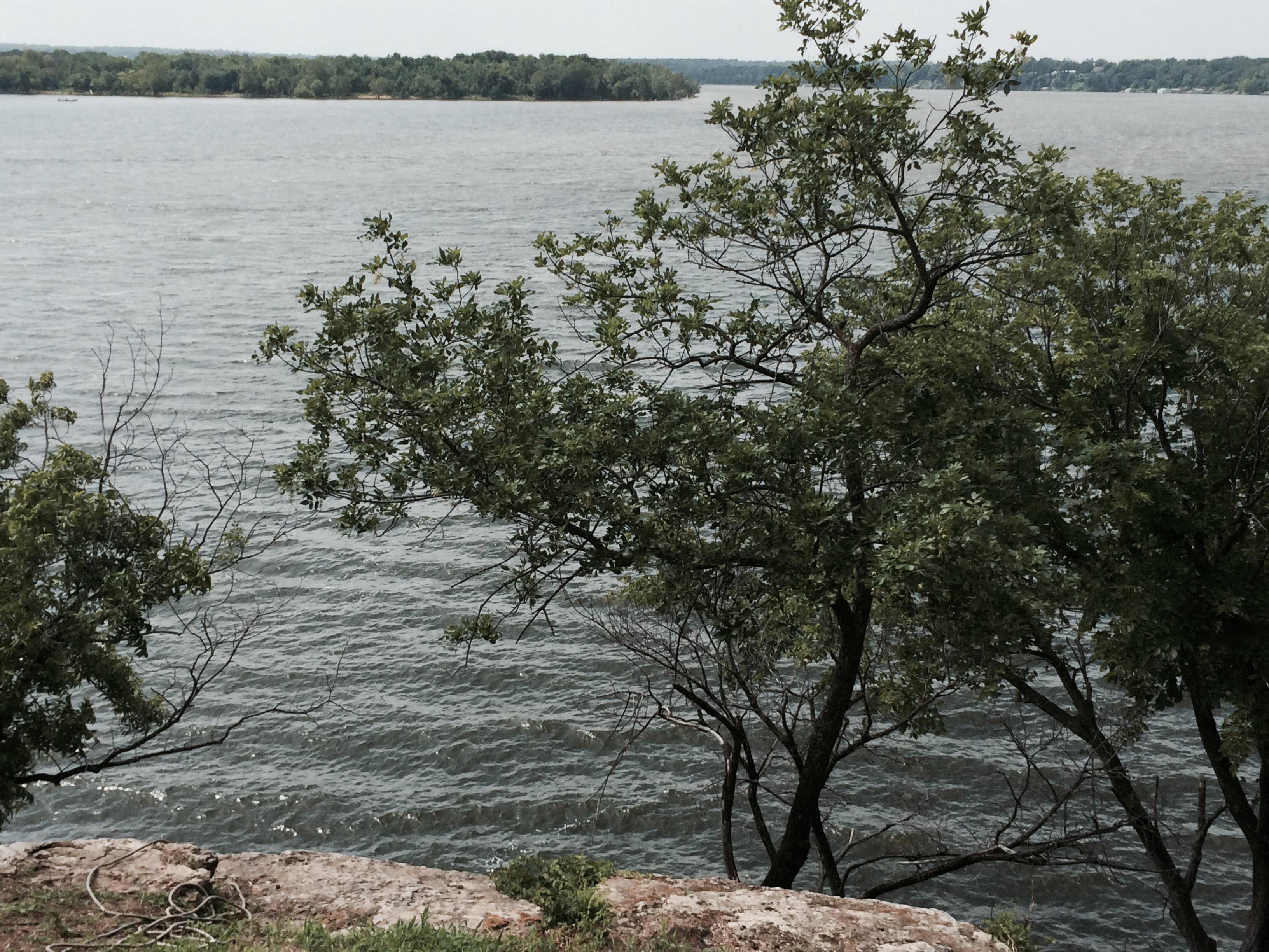
Grand River

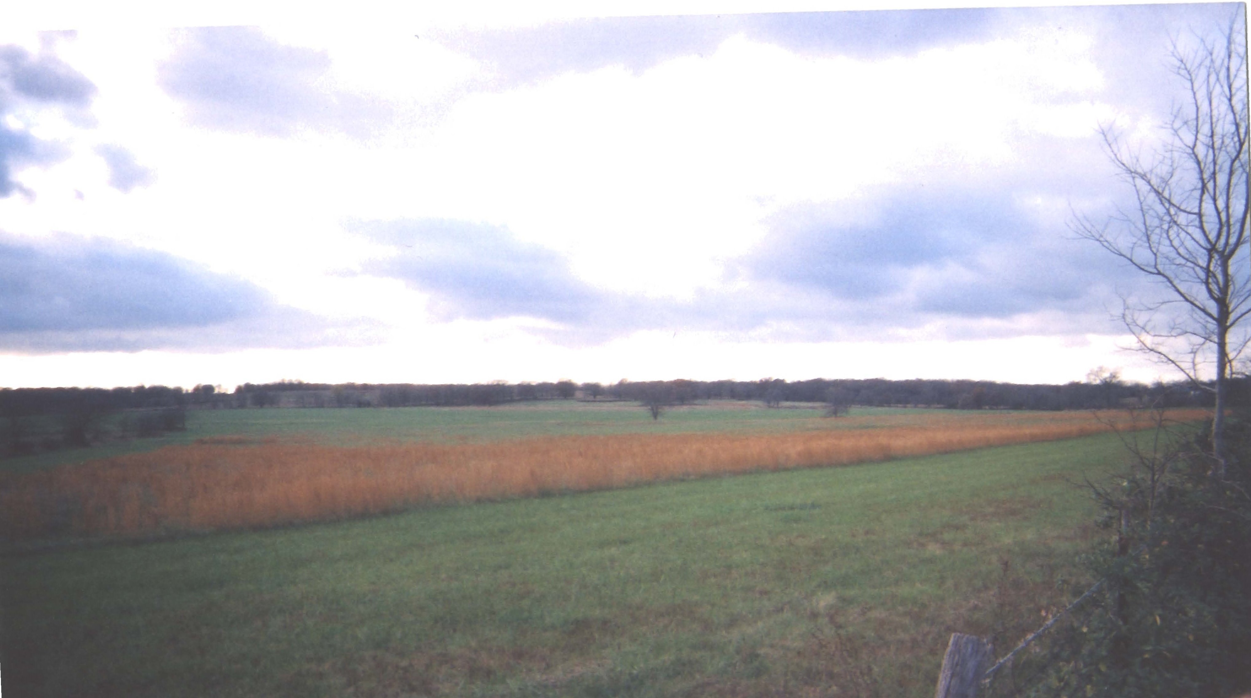
Ranch Landscape, Hulbert, OK
Summer Camp
Carrera Summer Camp Phone 026
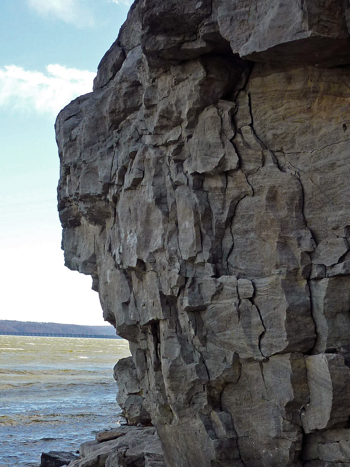
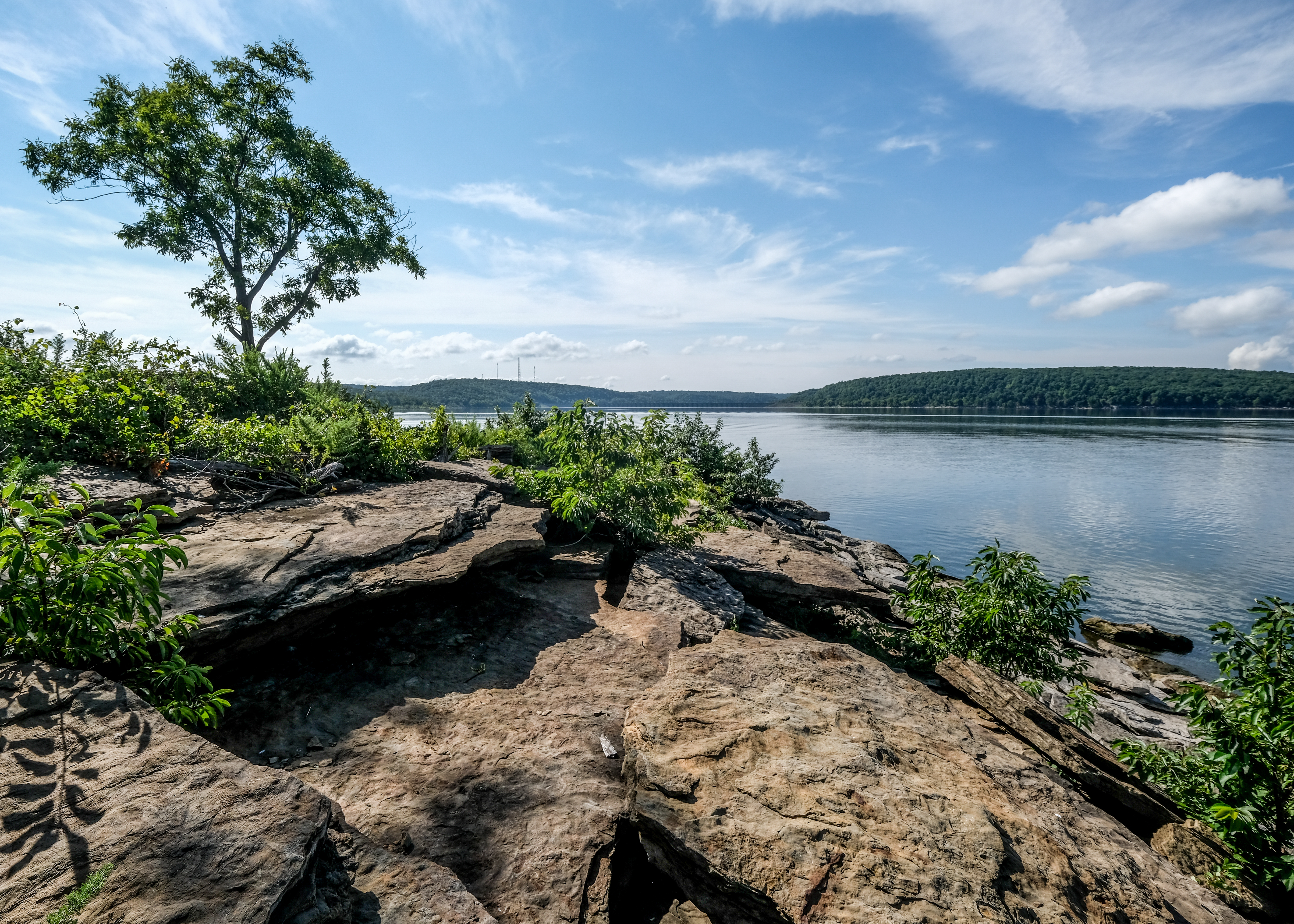
Fort Gibson Shoreline Rocks
Highway 82 in Fall (Oklahoma)

20161022-120344-IMG_8767
Topographic Map of N Rd, Hulbert, OK, USA
Find elevation by address:

Places near N Rd, Hulbert, OK, USA:
Hulbert
S Birch St, Hulbert, OK, USA
Wildwood Rv Park
70156 S 339 Pl
19623 Ok-80
Eagle Circle
20076 S Pistol Point Rd
Braggs, OK, USA
21408 S 380 Rd
Locust Grove, OK, USA
West Weeping Rock Road
West Rocky Top Road
Bent Pine Ranch
Mallard Bay
3760 W 821 Rd
Neosho River
William R Teague Elementary
127 Ok-10
9275 S 444 Rd
US-69, Wagoner, OK, USA
Recent Searches:
- Elevation of Corso Fratelli Cairoli, 35, Macerata MC, Italy
- Elevation of Tallevast Rd, Sarasota, FL, USA
- Elevation of 4th St E, Sonoma, CA, USA
- Elevation of Black Hollow Rd, Pennsdale, PA, USA
- Elevation of Oakland Ave, Williamsport, PA, USA
- Elevation of Pedrógão Grande, Portugal
- Elevation of Klee Dr, Martinsburg, WV, USA
- Elevation of Via Roma, Pieranica CR, Italy
- Elevation of Tavkvetili Mountain, Georgia
- Elevation of Hartfords Bluff Cir, Mt Pleasant, SC, USA