Elevation of Rv9, Bygland, Norway
Location: Norway > Aust-agder > Bygland >
Longitude: 7.6782099
Latitude: 58.9508197
Elevation: 212m / 696feet
Barometric Pressure: 99KPa
Elevation Map:
Satellite Map:
Related Photos:
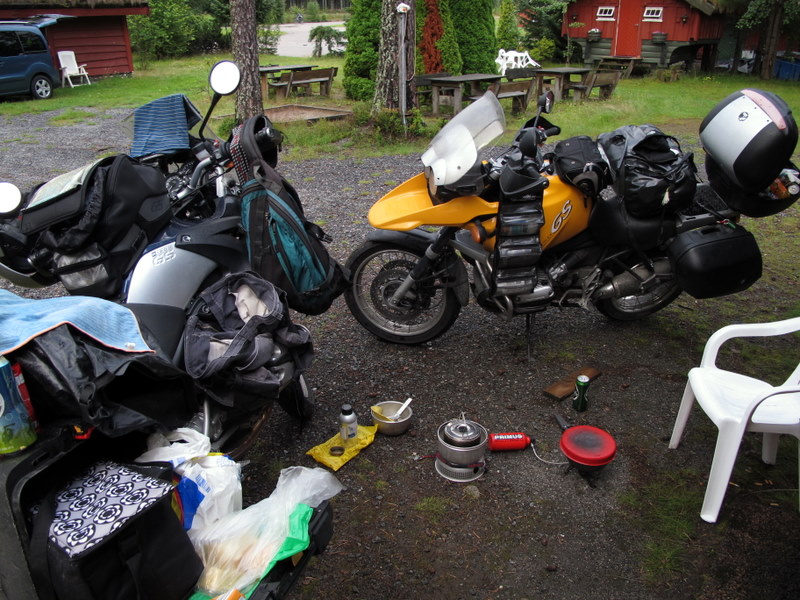
IMG_0004-5.JPG
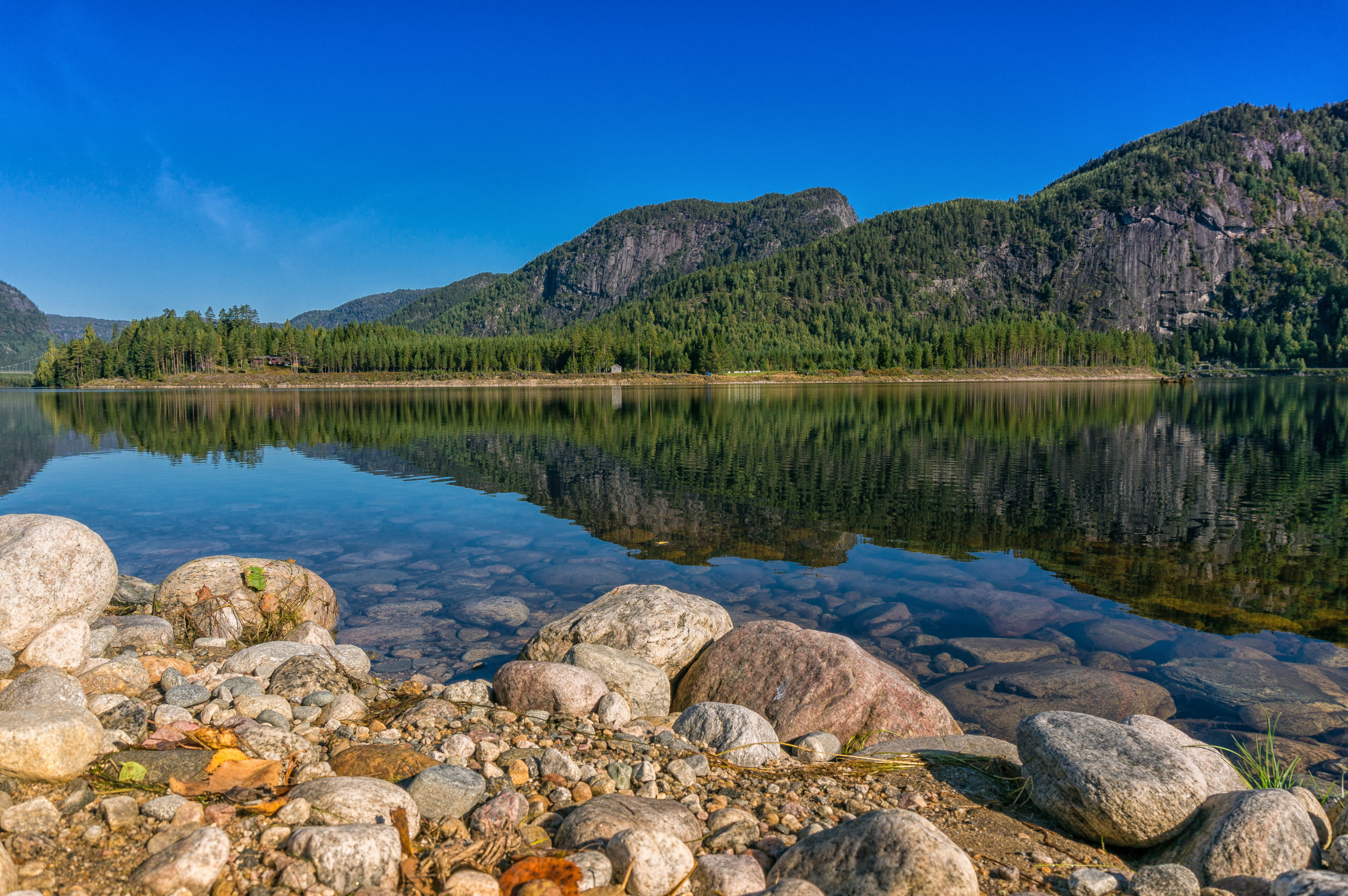
IMG_0005-4.JPG
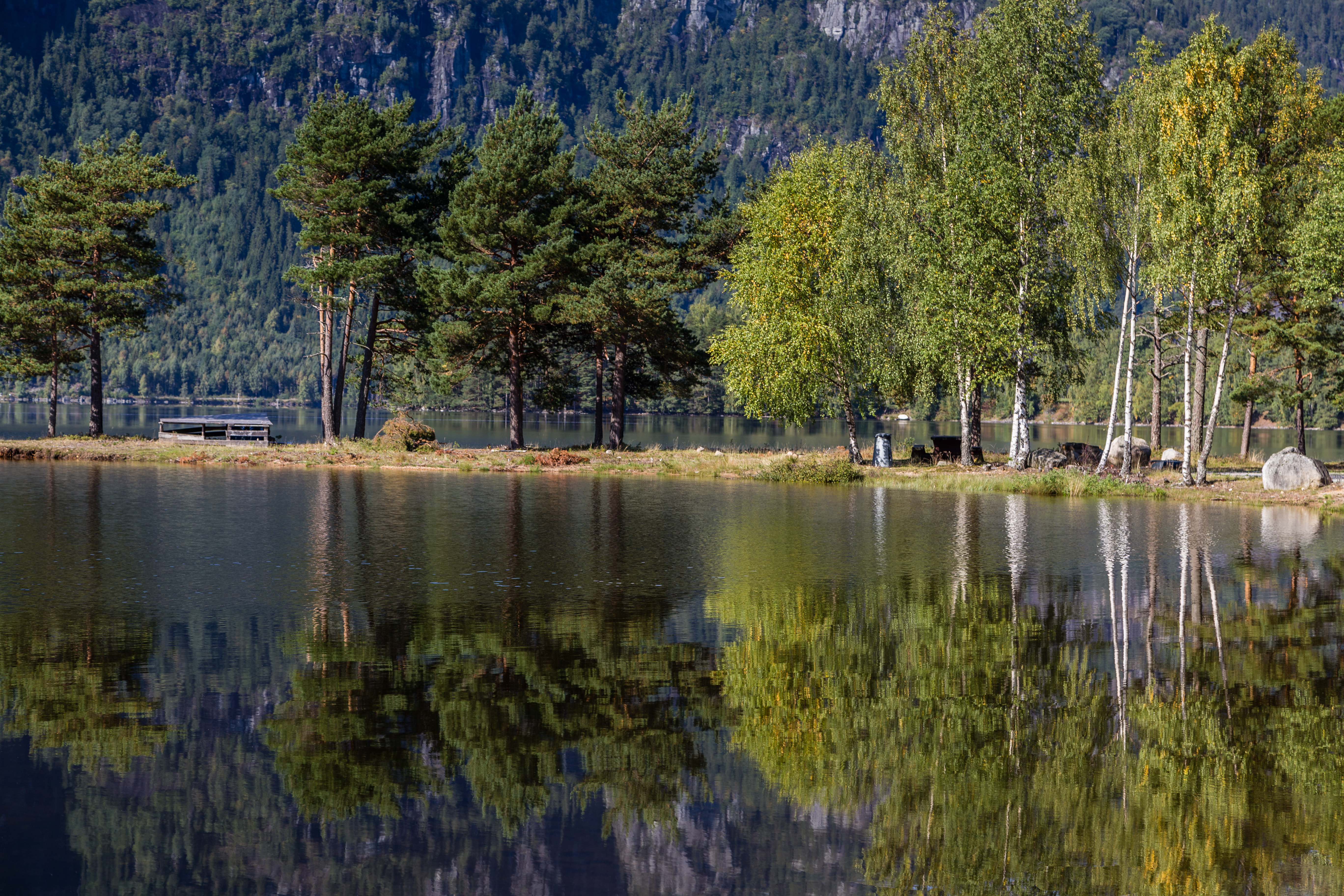
IMG_0003-6.JPG
IMG_0002-6.JPG
IMG_0001-7.JPG
IMG_0004-4.JPG
IMG_0003-5.JPG
IMG_0002-5.JPG
IMG_0001-6.JPG
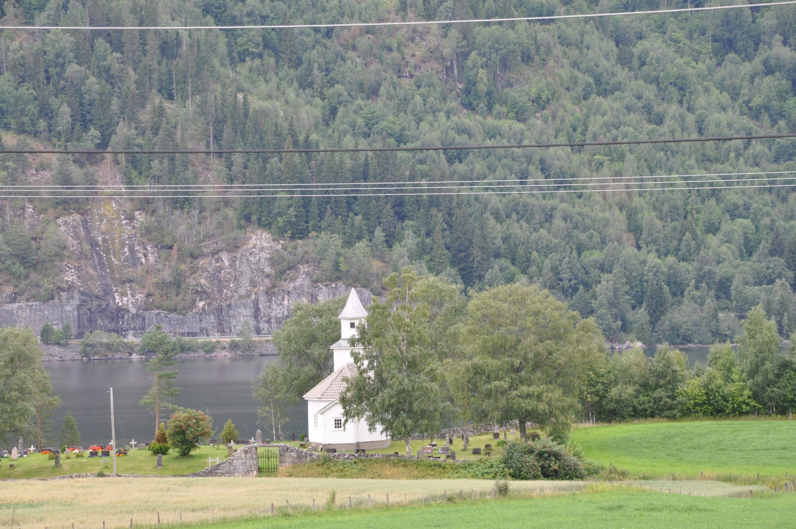
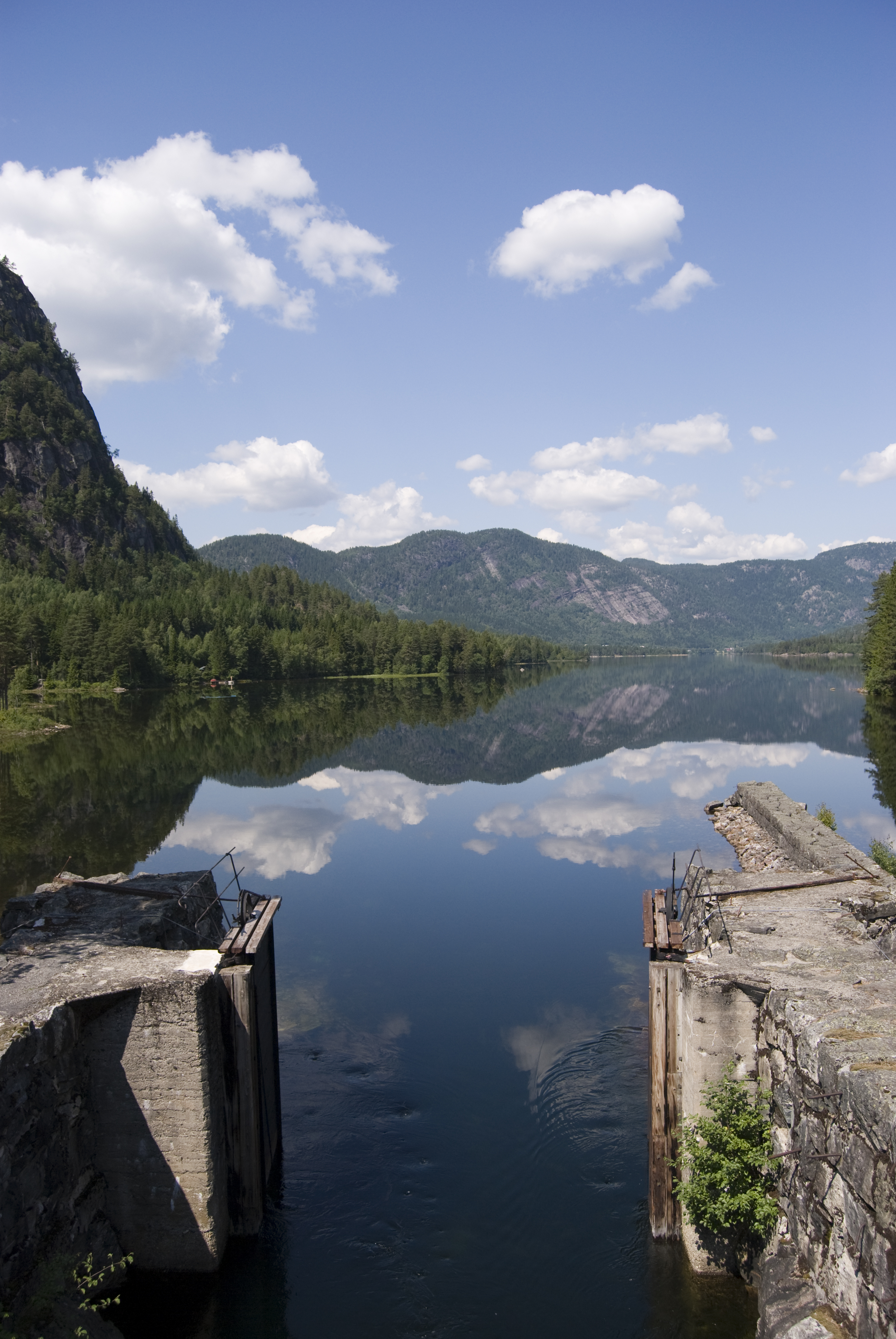
Viki, Aust-Agder, Norway
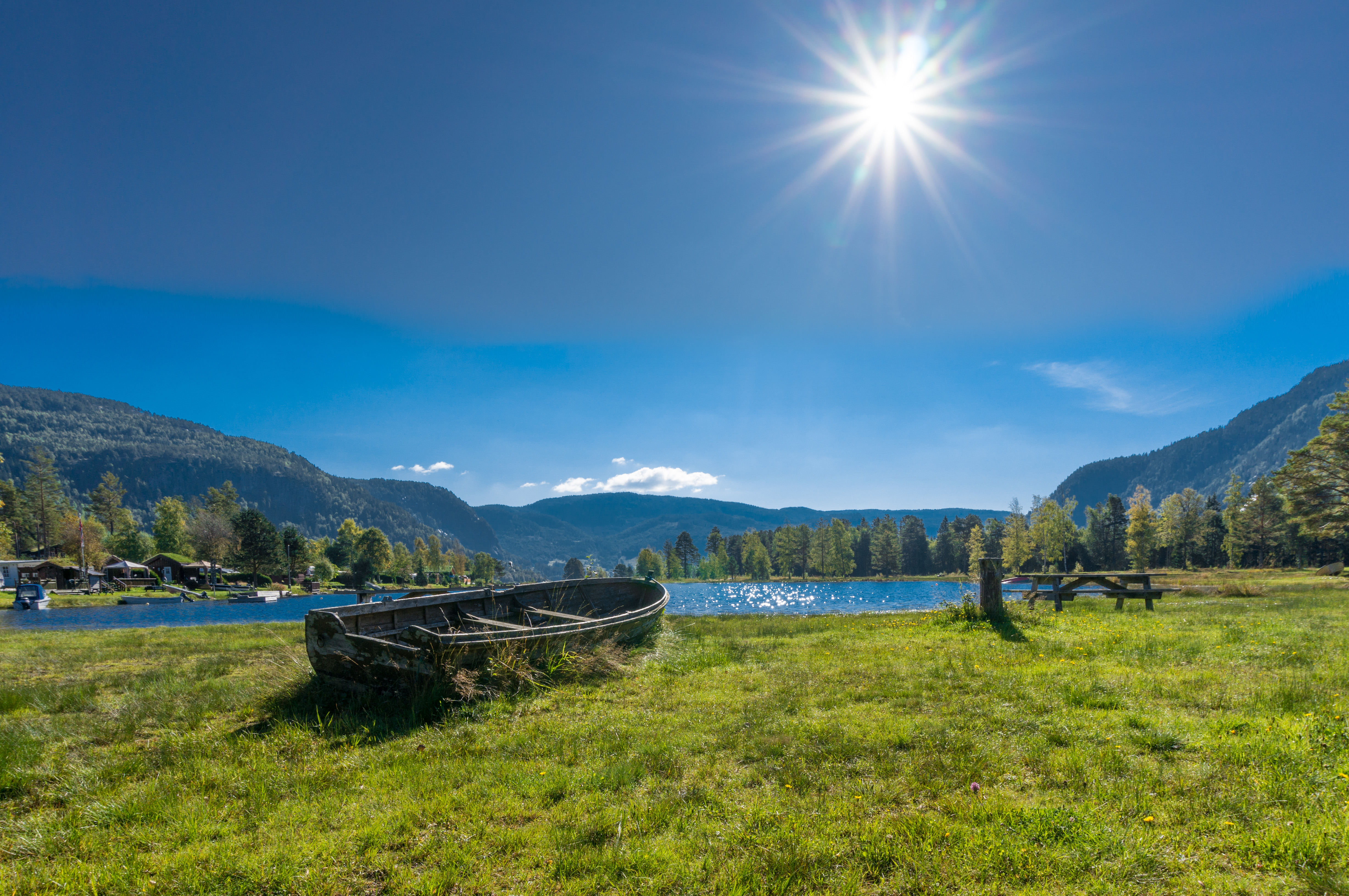
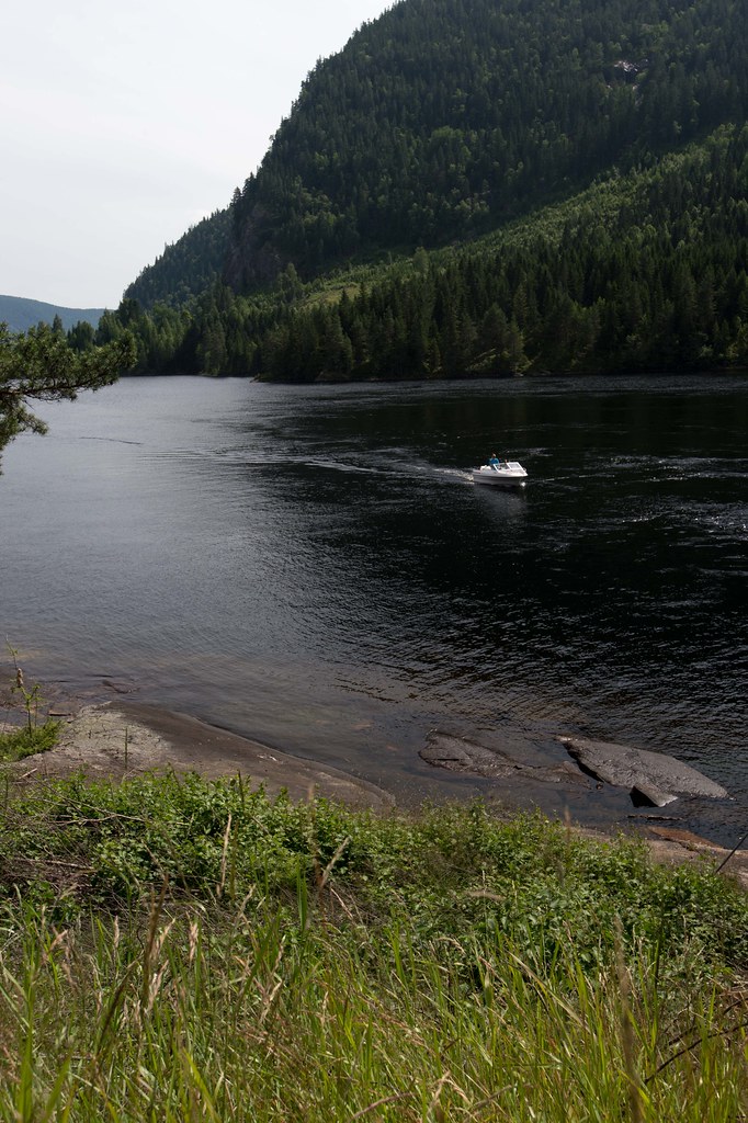
Das Boot am Fluss

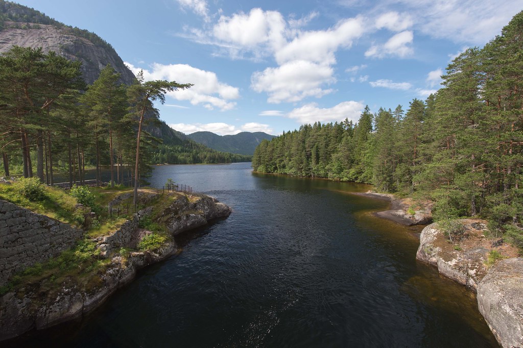
Reiårsfossen
Bus Stop in Bygland, Aust-Agder, Norway
DSC_0392.JPG
20130713-_DSC7827
Sommerferie 2009
20130713-_DSC7833
20130713-_DSC7828
Sommerferie 2009
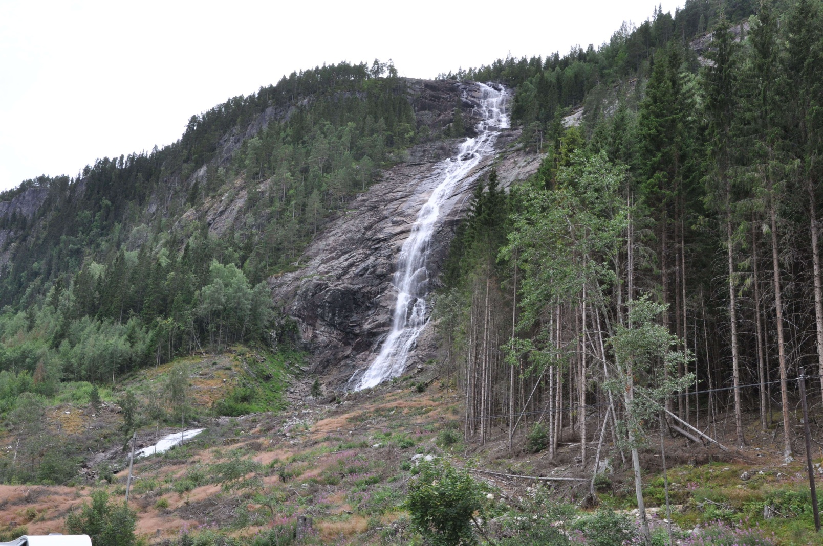
Reiårsfossen

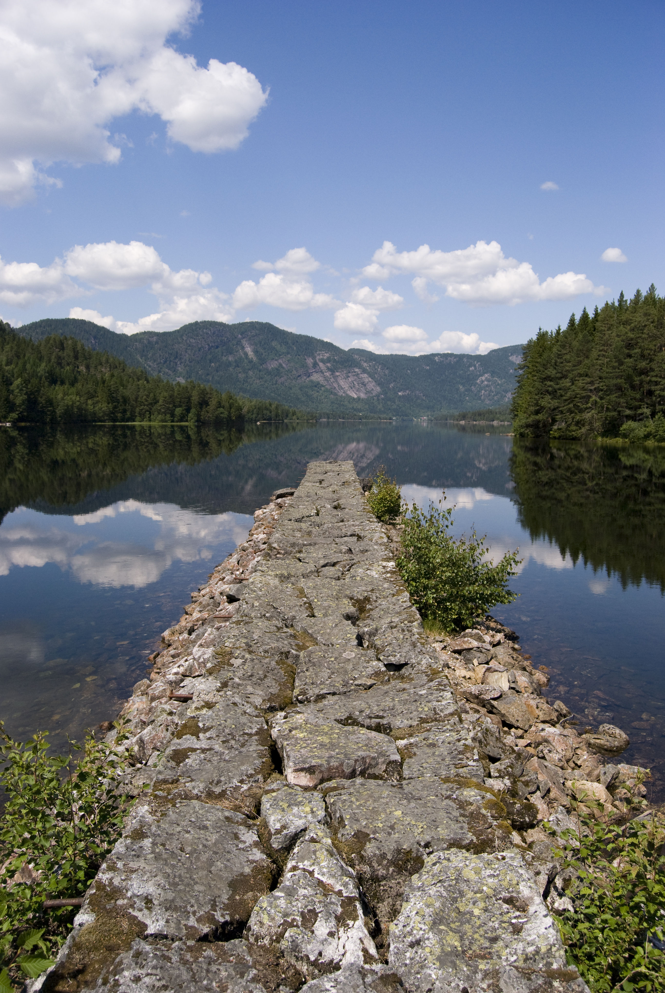
Calm before....

Falling Water

Summer in the mountains
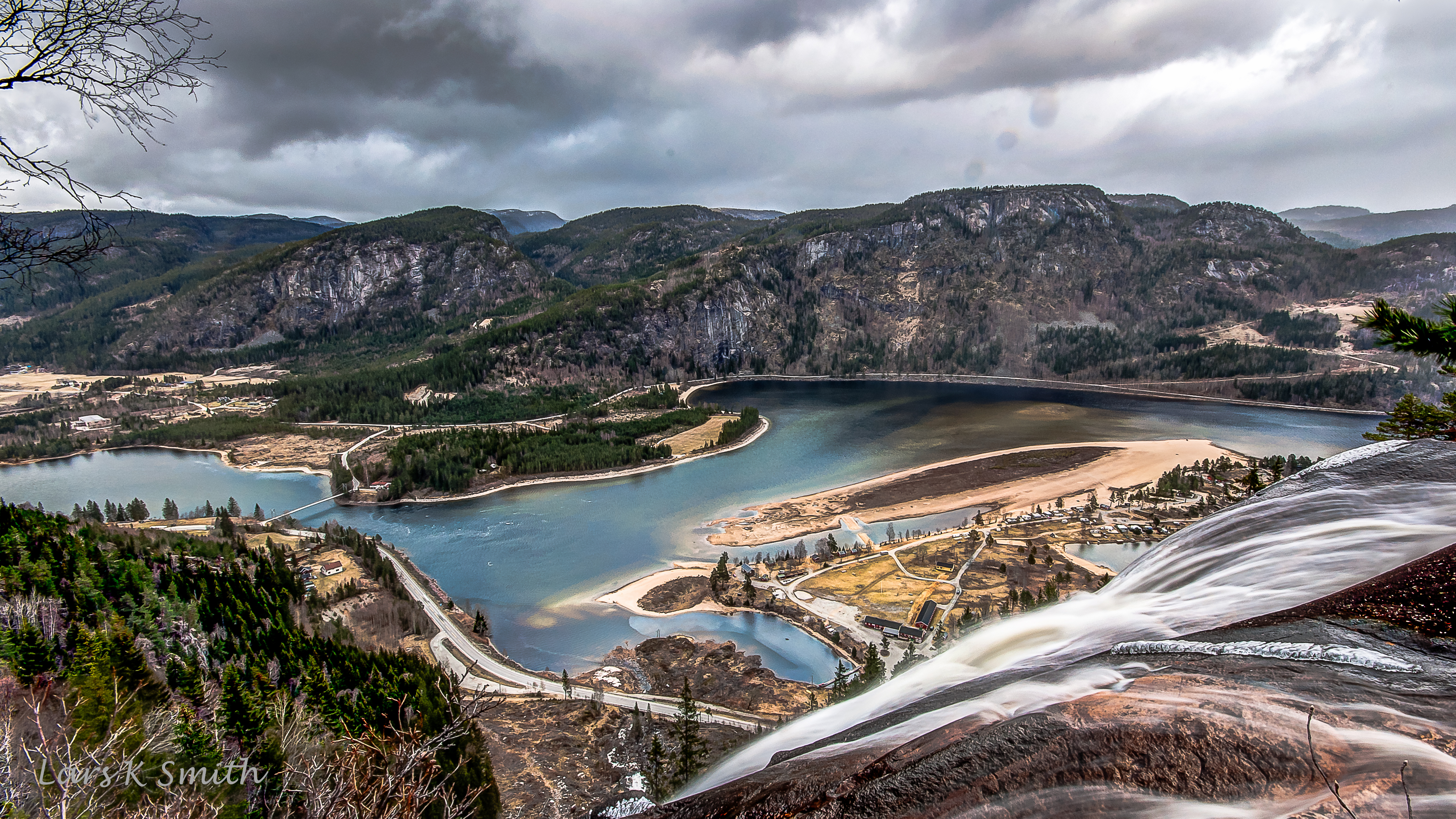
Reiersfossen med Ose
Topographic Map of Rv9, Bygland, Norway
Find elevation by address:

Places near Rv9, Bygland, Norway:
Bygland
Byglandsfjorden
Agder
Aust-agder
Vennesla
Røyknes
Fv57, Øvrebø, Norway
Songdalen
Fv, Finsland, Norway
Grostøl
Knaben
Stupstad
Vennesla School
Konsmo
Vennesla
Østre Ålefjærvei 32, Kristiansand, Norway
Dalaneveien 75, Kristiansand, Norway
Telandsveien, Søgne, Norway
Kristiansand
Heia 3, Kristiansand, Norway
Recent Searches:
- Elevation of Corso Fratelli Cairoli, 35, Macerata MC, Italy
- Elevation of Tallevast Rd, Sarasota, FL, USA
- Elevation of 4th St E, Sonoma, CA, USA
- Elevation of Black Hollow Rd, Pennsdale, PA, USA
- Elevation of Oakland Ave, Williamsport, PA, USA
- Elevation of Pedrógão Grande, Portugal
- Elevation of Klee Dr, Martinsburg, WV, USA
- Elevation of Via Roma, Pieranica CR, Italy
- Elevation of Tavkvetili Mountain, Georgia
- Elevation of Hartfords Bluff Cir, Mt Pleasant, SC, USA