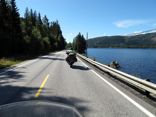
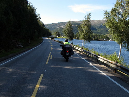
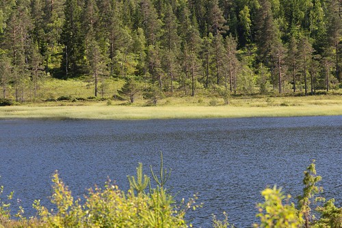
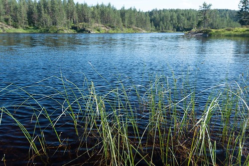
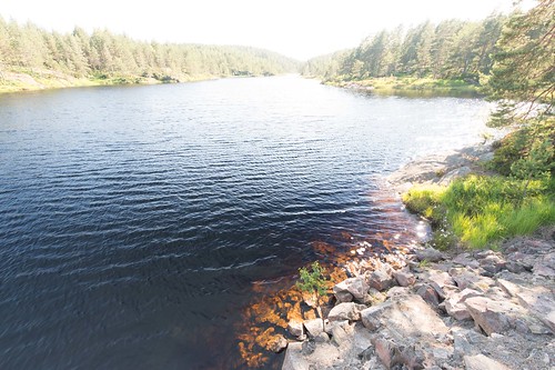
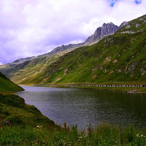
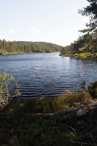
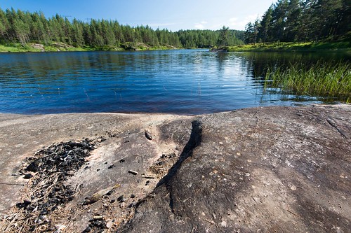
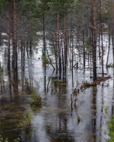
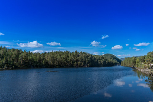
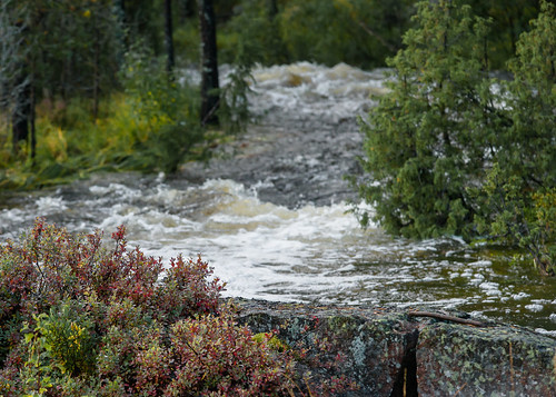
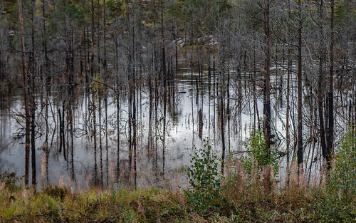
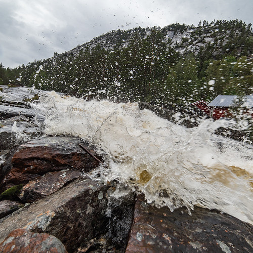
Elevation map of Aust-Agder, Norway
Location: Norway >
Longitude: 8.0844752
Latitude: 58.6670304
Elevation: 347m / 1138feet
Barometric Pressure: 97KPa
Related Photos:
Topographic Map of Aust-Agder, Norway
Find elevation by address:

Places in Aust-Agder, Norway:
Places near Aust-Agder, Norway:
Byglandsfjorden
Agder
Røyknes
Fv57, Øvrebø, Norway
Fv, Grimstad, Norway
Vennesla School
Vennesla
Vennesla
Østre Ålefjærvei 32, Kristiansand, Norway
Rv, Lillesand, Norway
Hamresanden
Fv 20, Lillesand, Norway
Bygland
Hånestangen 50, Kristiansand, Norway
Rv9, Bygland, Norway
Lillesand
Lillesand
Kristiansand
Dalaneveien 75, Kristiansand, Norway
Rv 50, Høvåg, Norway
Recent Searches:
- Elevation of Corso Fratelli Cairoli, 35, Macerata MC, Italy
- Elevation of Tallevast Rd, Sarasota, FL, USA
- Elevation of 4th St E, Sonoma, CA, USA
- Elevation of Black Hollow Rd, Pennsdale, PA, USA
- Elevation of Oakland Ave, Williamsport, PA, USA
- Elevation of Pedrógão Grande, Portugal
- Elevation of Klee Dr, Martinsburg, WV, USA
- Elevation of Via Roma, Pieranica CR, Italy
- Elevation of Tavkvetili Mountain, Georgia
- Elevation of Hartfords Bluff Cir, Mt Pleasant, SC, USA


