Elevation of Songdalen, Norway
Location: Norway > Vest-agder >
Longitude: 7.5952384
Latitude: 58.306272
Elevation: 262m / 860feet
Barometric Pressure: 98KPa
Elevation Map:
Satellite Map:
Related Photos:

Snowy lake 1

HDR sunset.
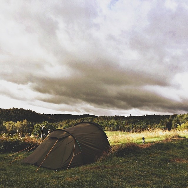
Last day in Norway. And another great view. Accompanied by some raindrops while breaking up camp. On our way to the ferry to Danmark. #twocampersinscandinavia
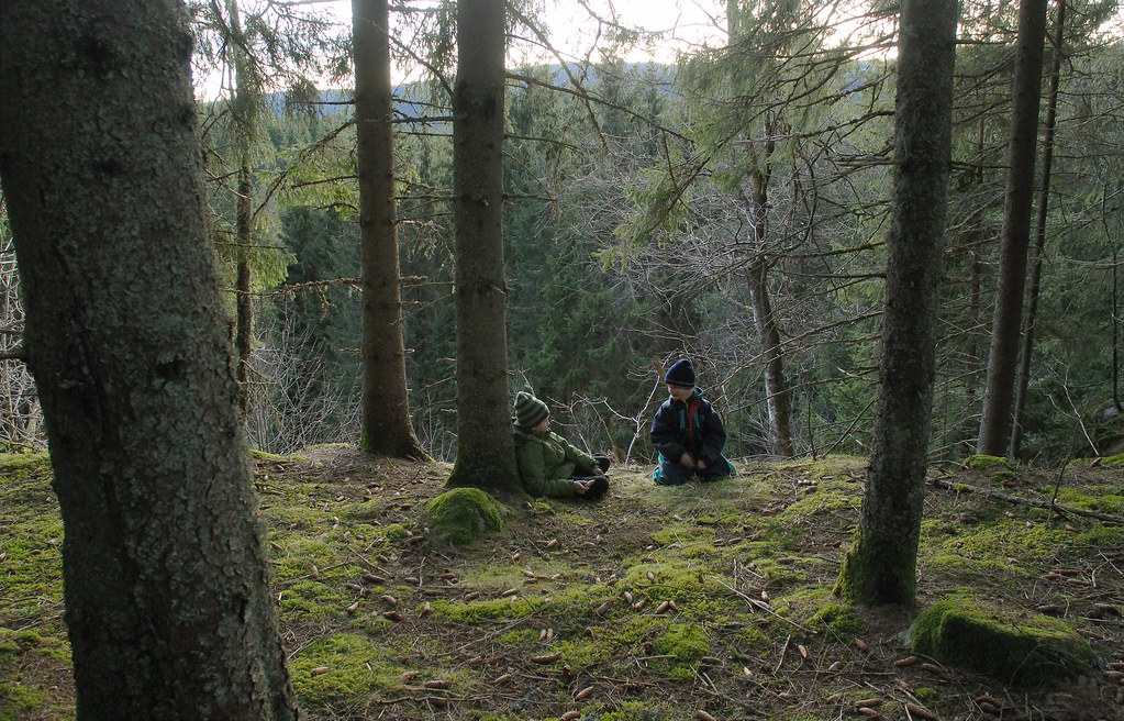
A rest in the woods

I must cross with thise device.

After all the hardcore nature, we prepared ourselves for the trip back to Denmark. One last stop at a camping, on the Norwegian countryside. Somewhere there's still a soft spot for country life. A very warm welcome at a farmers camping and very different

moar water.

moar straws.

Windows XP.
Mandalselva laksehytter
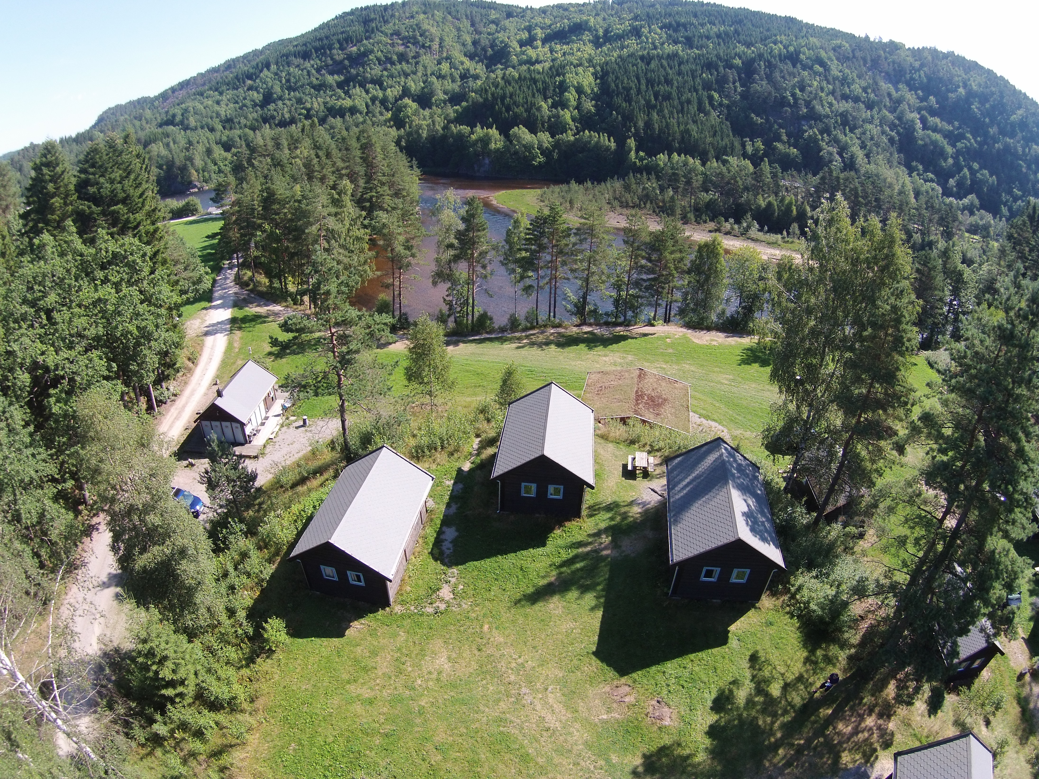
Mandalselva laksehytter

Bee Macro

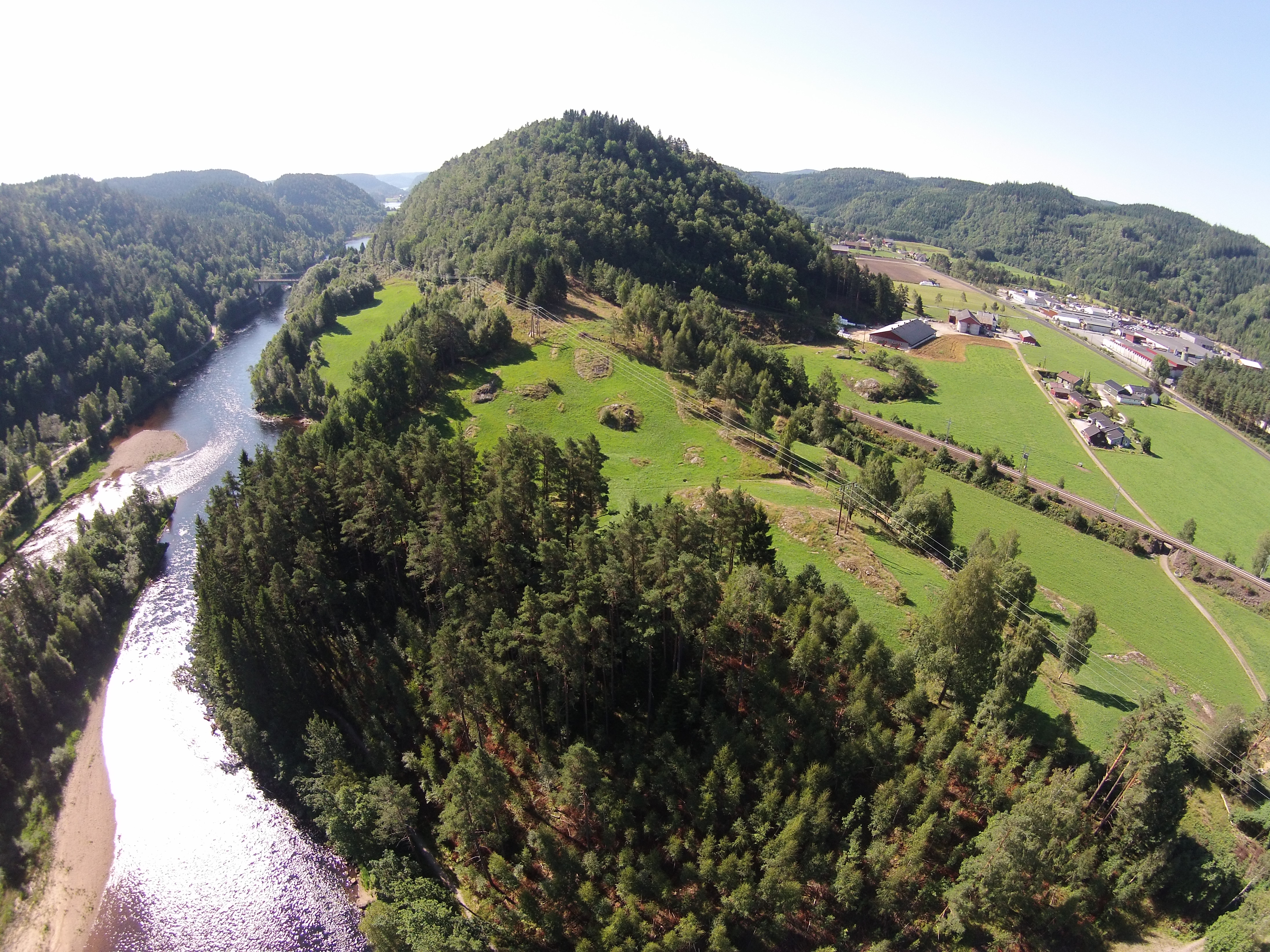
Kjåvann
Topographic Map of Songdalen, Norway
Find elevation by address:

Places in Songdalen, Norway:
Places near Songdalen, Norway:
Fv, Finsland, Norway
Stupstad
Telandsveien, Søgne, Norway
Vennesla
Konsmo
Agder
Knibe, Søgne, Norway
Mandal
Søgne
Søgne
Hallandvik, Søgne, Norway
Tofteveien
Røyknes
Fv57, Øvrebø, Norway
Mandal
Farestad
Amsterstien 3, Mandal, Norway
Branesveien, Søgne, Norway
Klev 9, Mandal, Norway
Dalaneveien 75, Kristiansand, Norway
Recent Searches:
- Elevation of Corso Fratelli Cairoli, 35, Macerata MC, Italy
- Elevation of Tallevast Rd, Sarasota, FL, USA
- Elevation of 4th St E, Sonoma, CA, USA
- Elevation of Black Hollow Rd, Pennsdale, PA, USA
- Elevation of Oakland Ave, Williamsport, PA, USA
- Elevation of Pedrógão Grande, Portugal
- Elevation of Klee Dr, Martinsburg, WV, USA
- Elevation of Via Roma, Pieranica CR, Italy
- Elevation of Tavkvetili Mountain, Georgia
- Elevation of Hartfords Bluff Cir, Mt Pleasant, SC, USA