Elevation of Ruthie's Way, Blue Hill, ME, USA
Location: United States > Maine > Hancock County > Blue Hill >

Longitude: -68.545806

Latitude: 44.4544088

Elevation: 64m / 210feet

Barometric Pressure: 101KPa

Elevation Map:

elevation map of Ruthie's Way, Blue Hill, ME, USA
Satellite Map:

Satellite map of Ruthie's Way, Blue Hill, ME, USA
Related Photos:

sunset summer sky girl night explore writings
Maybe someday I won't be so lonely [EXPLORED]
me chairs seashore mountdesertisland mdi tnc thenatureconservancy coastalmaine indianpointblagdenpreserve
view for two
orange art glass studio artist maine artisan glassblowing glassblower
a molten canvas
nokia maine surry windowsphone lumia toddypond nokialumia1520 lumia1520 microsoftlumia
WP_20140818_19_16_13_Raw.jpg
Window View 2
light party usa night dark trail toddypond eastorlandmaine
Light trails
floral flowers ferns purple violets
Floral View
light party usa night dark trail toddypond eastorlandmaine
Light trails
light party usa night dark trail toddypond eastorlandmaine
Light trails
maine bluehillfair
Sausage at the Fair
ocean old lighthouse beach me island rocks ranger view desert path maine august atlantic trail granite service guide 2009 barharbor acadianationalpark
Bar Harbor, ME
square squareformat normal iphoneography instagramapp uploaded:by=instagram foursquare:venue=4c83bfb2d8086dcbaa818252
Post-Xmas fun. Just up the road sits some of the best sledding. Just below the summit with a view that goes on forever.
ocean beach me sign island rocks ranger view desert path maine august atlantic trail granite service guide 2009 barharbor trenton acadianationalpark vinatge bearslodge
Bar Harbor, ME
park national acadia
Take a seat
honeymoon maine
View North
honeymoon maine
View From Shore
georgestevensacademy
GSA Graduates 3D Cross View
Brooksville Events 3d Cross Eye View
usa geotagged unitedstates maine ellsworth trenton geo:lat=4442732124 geo:lon=6836426139
Thompson Island
unitedstates maine ellsworth eyefi
View on road trip
sky usa mist lake reflection water rock forest boat maine paddleboat hdr buoy pedalo toddypond eastorland
A misty Toddy Pond
djiphantom3advanced mountdesertisland maine mdi barharbor unitedstates us
Mount Desert Island
ocean travel sunset water landscape island coast maine scenic nationalgeographic trenton mountdesertisland
Mount Desert Island Sunset
clouds harbor blue sky trees landscape
The Mill Stream and Harbor
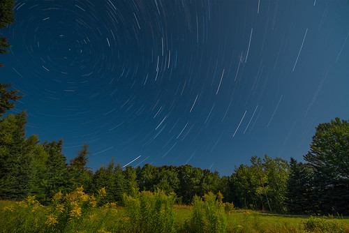
moon stars nikon super startrails eastbluehillmaine nikkor1424
Star Trails in Maine
square squareformat hudson iphoneography instagramapp uploaded:by=instagram foursquare:venue=4e3b16dd8877b00cfc27ea5e
Had climb the rocky steps to get here
square squareformat iphoneography instagramapp uploaded:by=instagram
Congratulations!✨????✨ ???? @benjamindunbar Your beautiful Mount Desert Island capture has been chosen for POTD in
1909: A house in Blue Hill, Maine, USA
sunset color ice water landscape nikon acadianationalpark nikond810 140240mmf28
Acadia Sunset
me unitedstates maine barharbor acadianationalpark mtdesertoceanarium
Mt Desert Oceanarium
toronto ontario canada nature quebec montreal kanada
Sunset @ Acadia National Park
vacation nature landscape outdoors fallcolor
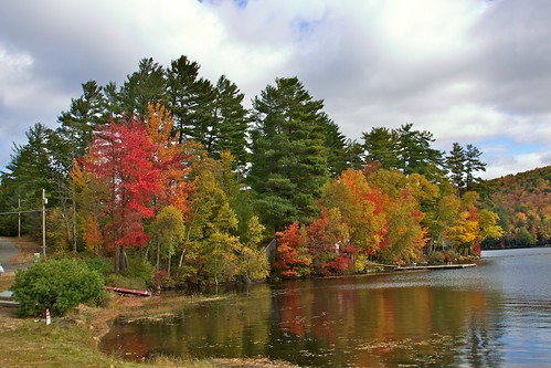
Multi-Color trees by Lake
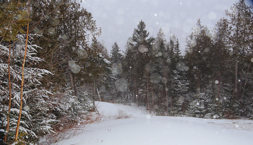
Scenes from a snow storm
camping usa cycling unitedstates maine fullmoon moonlight ellsworth bicycletouring panoramafotografico pattenpond bketouring
Patten Pond at night under a Full Moon
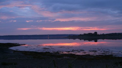
Sunset clouds
Breathtaking In Maine
maine surry long blackandwhite nikon 2470 d600 10stopndfilter longexposure
Morgan Bay
landscape pond maine
Parkers Pond, Maine
vacation nature landscape outdoors fallcolor
Red & Yellow Trees 3