Elevation of 6 Terry Ln, Surry, ME, USA
Location: United States > Maine > Hancock County > Surry >
Longitude: -68.493984
Latitude: 44.4716911
Elevation: 88m / 289feet
Barometric Pressure: 100KPa
Elevation Map:
Satellite Map:
Related Photos:

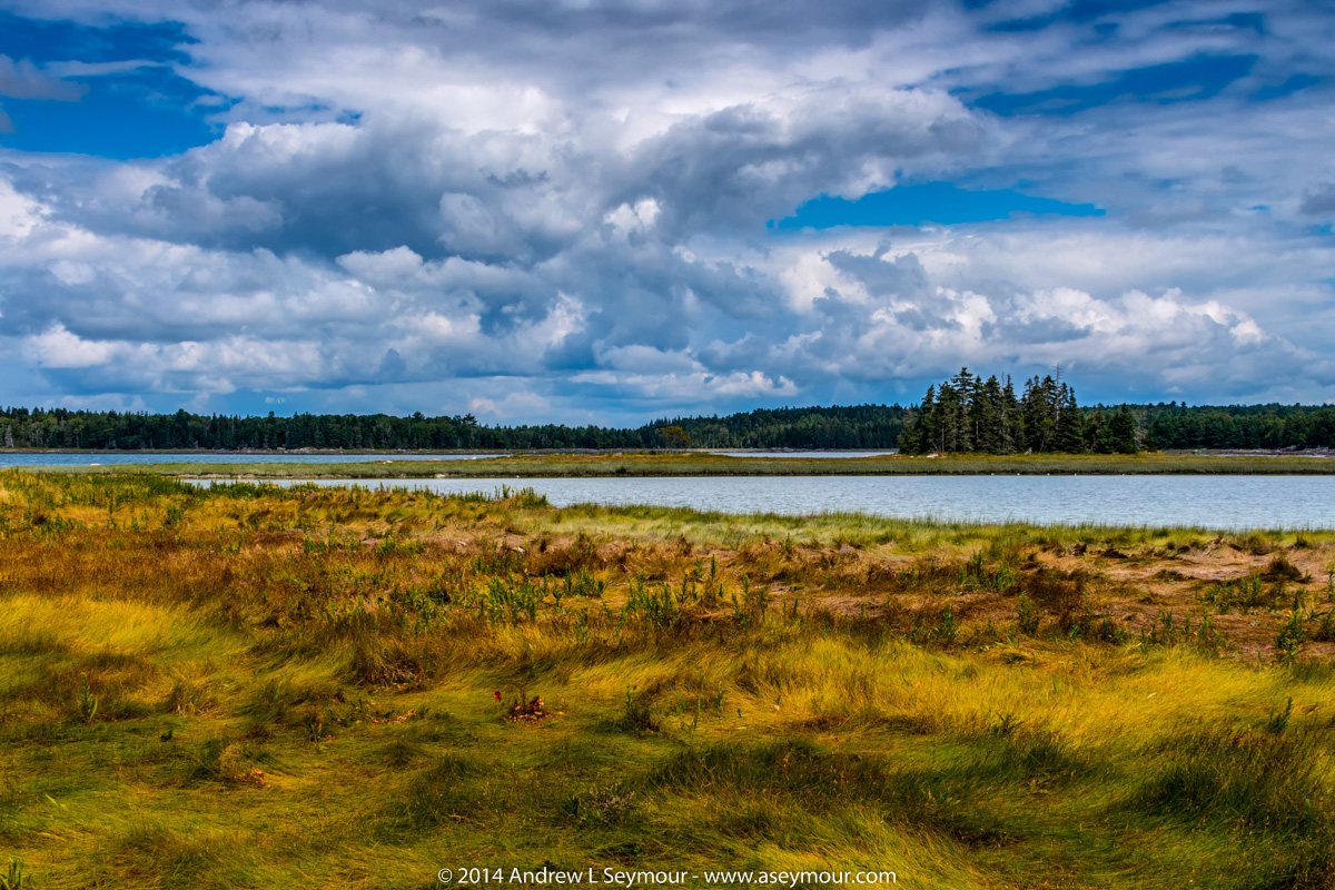
Maybe someday I won't be so lonely [EXPLORED]
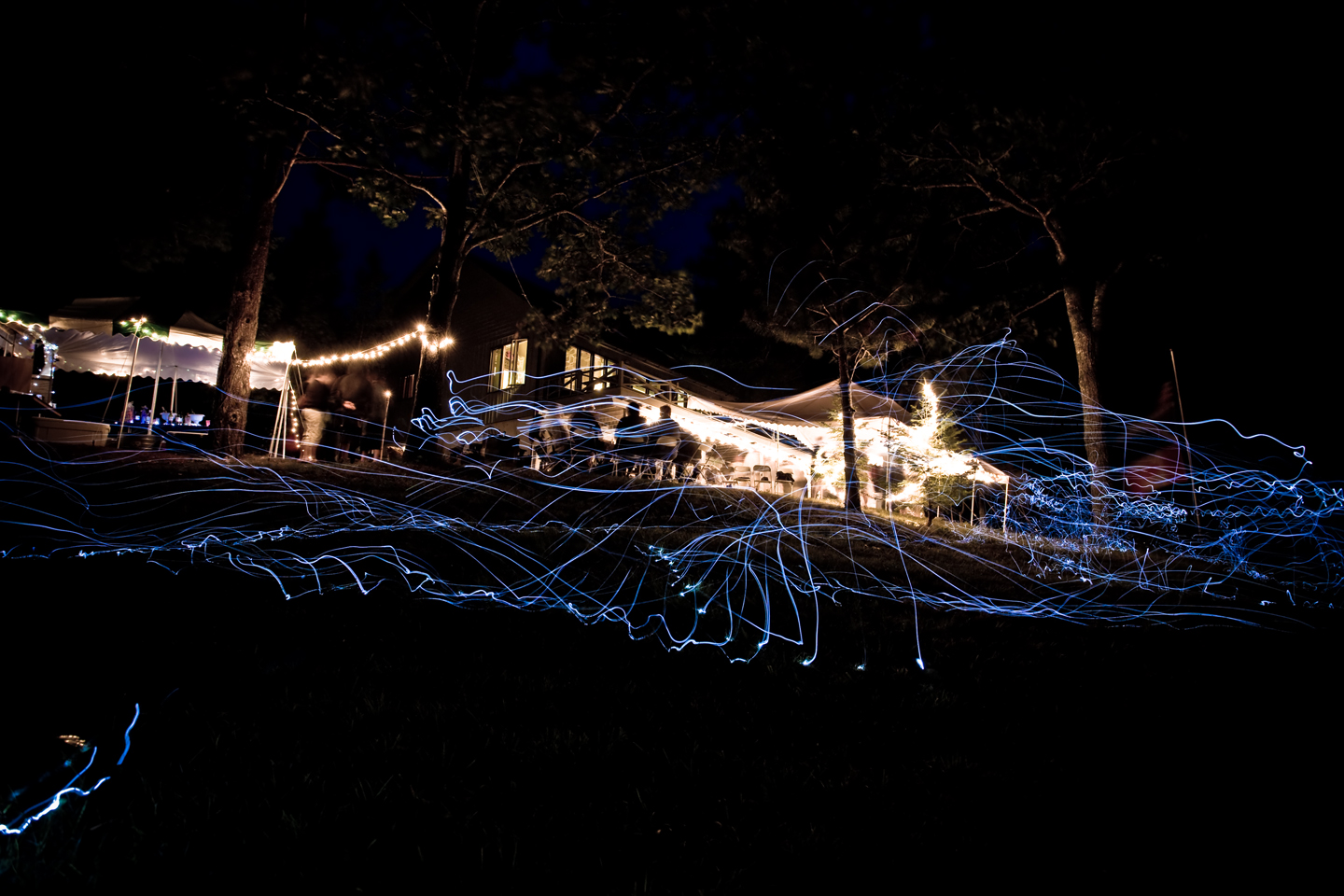
view for two

a molten canvas
WP_20140818_19_16_13_Raw.jpg
The view

Sausage at the Fair
Light trails

Floral View

MDI relay - leg 7
Light trails
Bar Harbor, ME

Post-Xmas fun. Just up the road sits some of the best sledding. Just below the summit with a view that goes on forever.
Take a seat

GSA Graduates 3D Cross View

Window View 2
View North
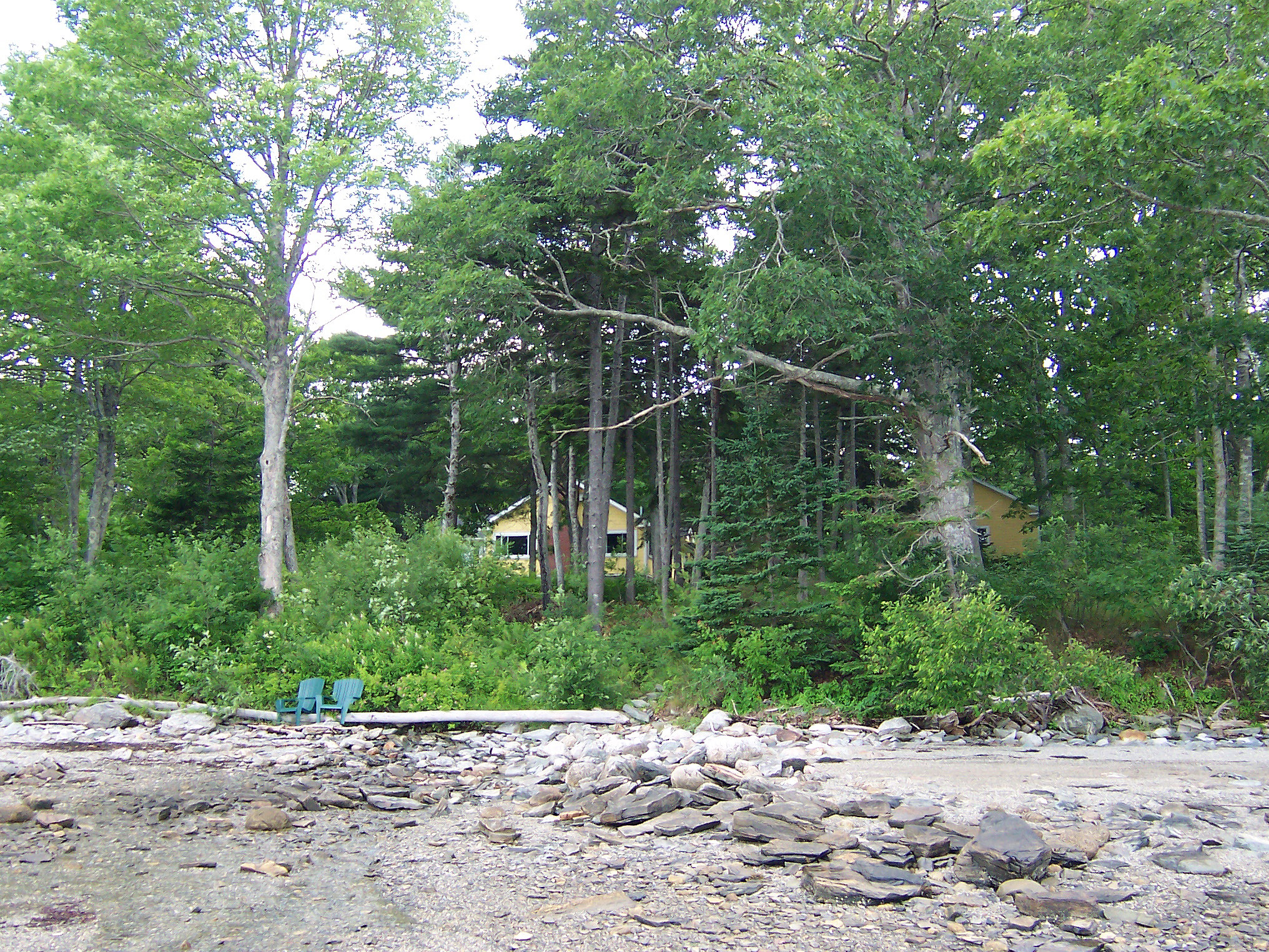
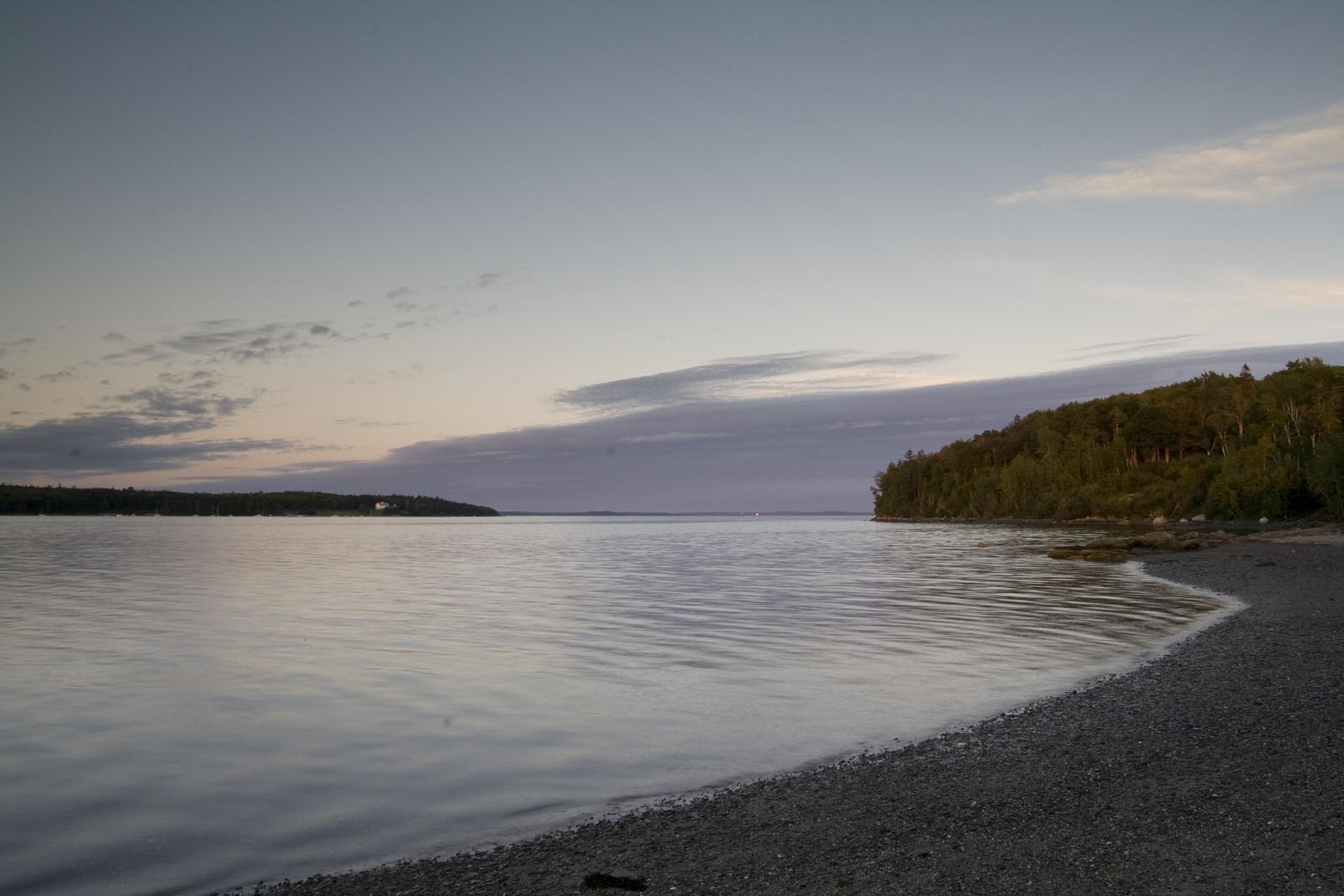
View From Shore

The Mill Stream and Harbor

North East Creek, Bar Harbor, Maine July 24, 2014, 8:02 PM
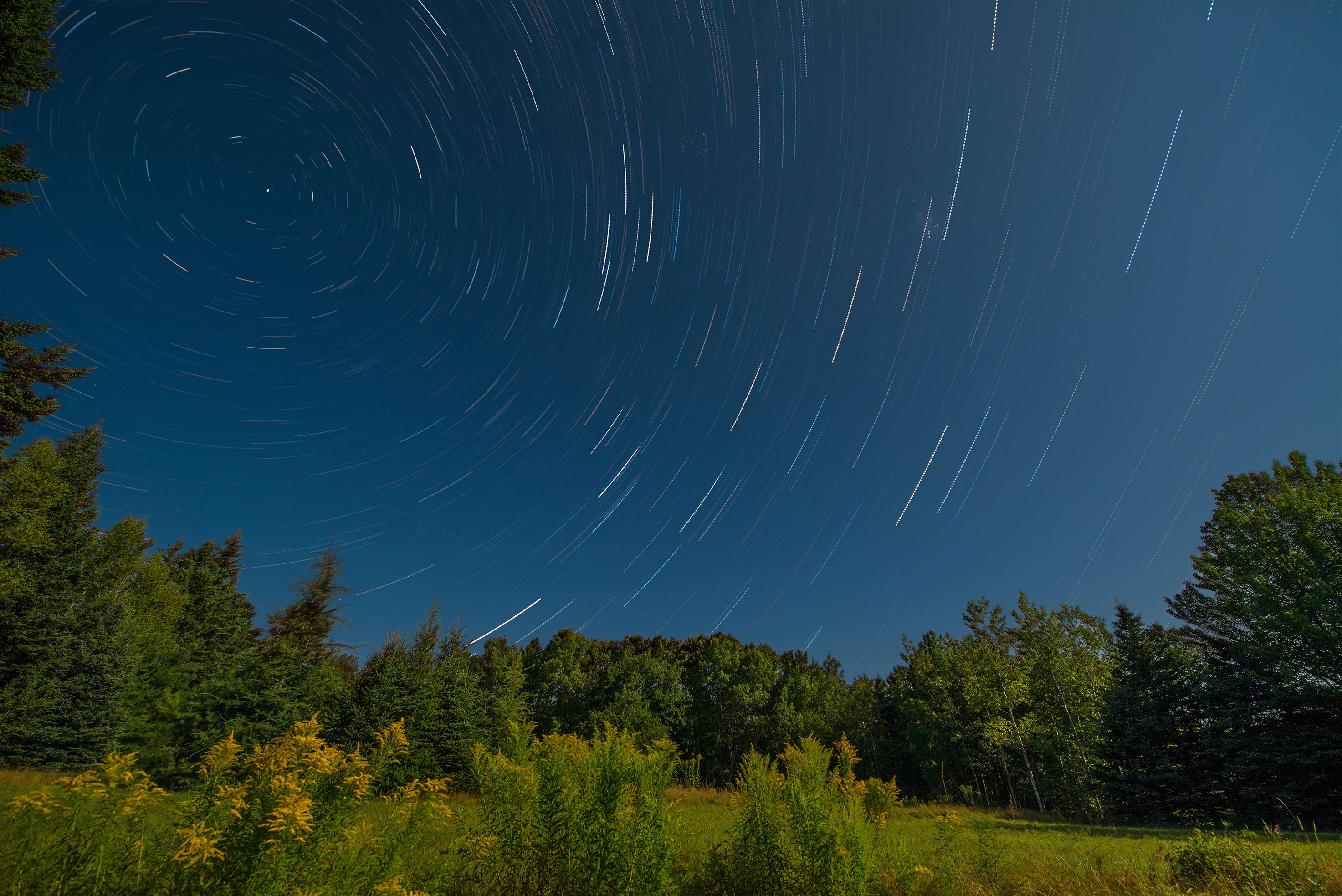
Star Trails in Maine

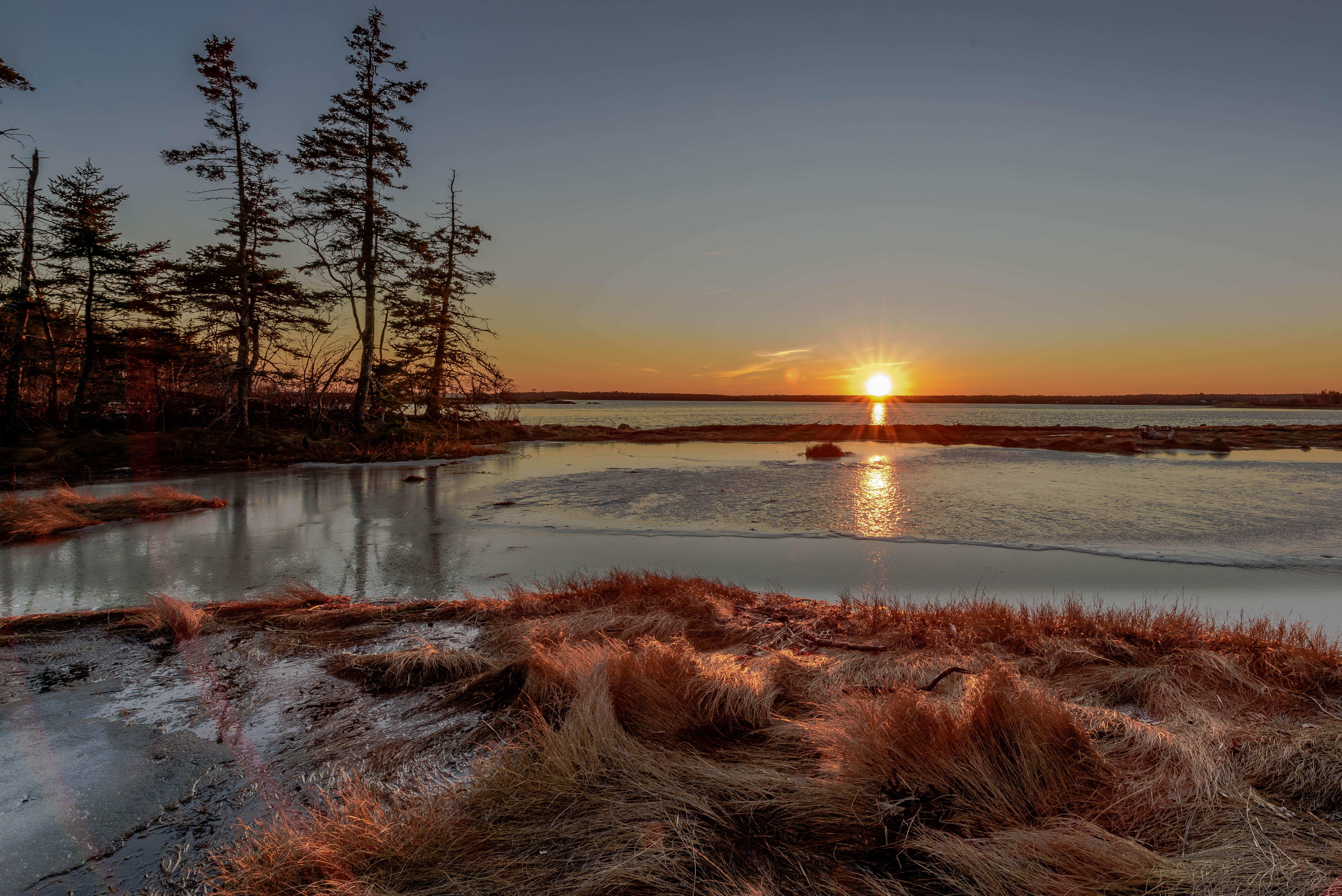
Mount Desert Island Sunset

Had climb the rocky steps to get here
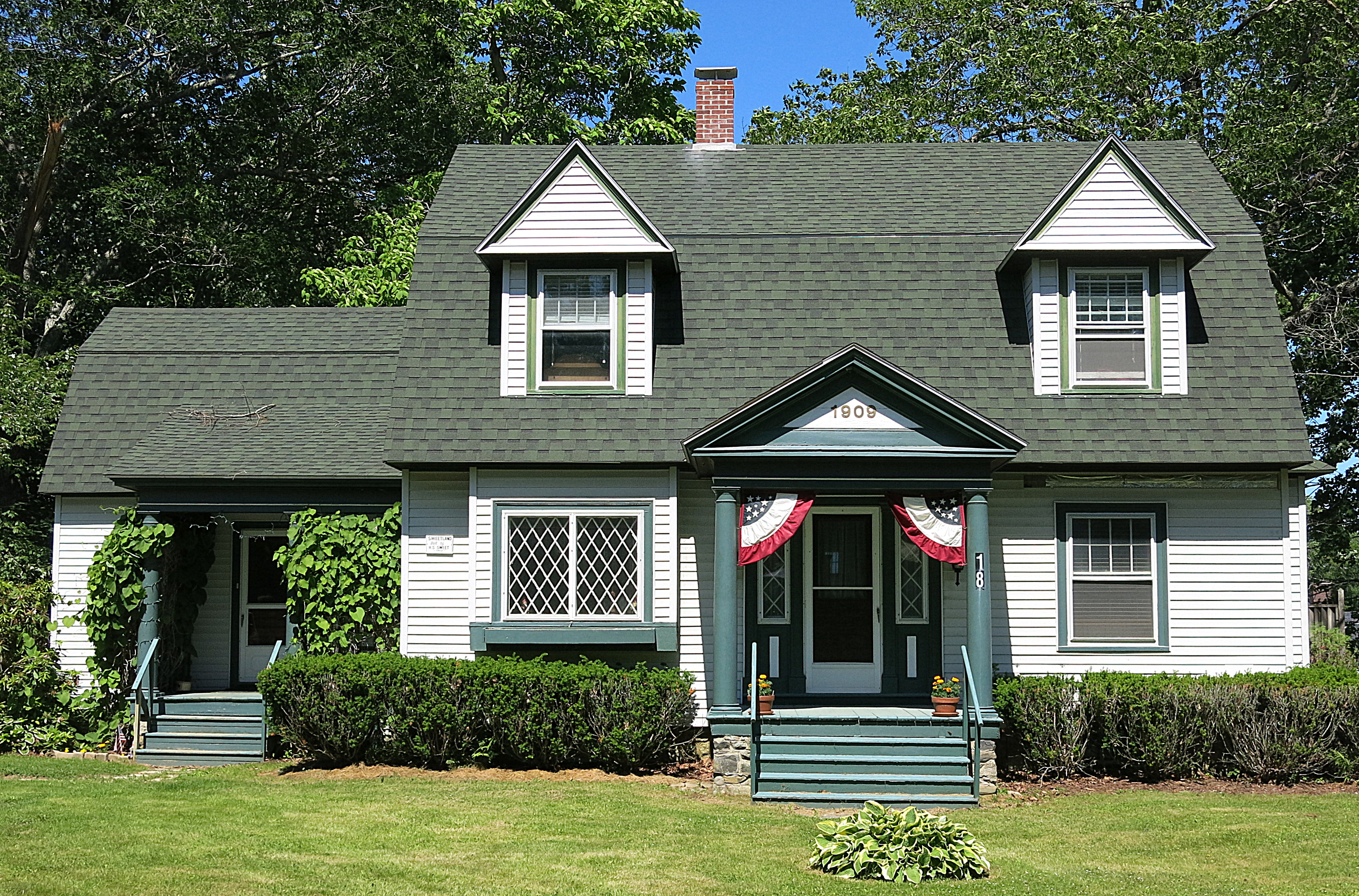
1909: A house in Blue Hill, Maine, USA
Acadia Sunset
Mt Desert Oceanarium
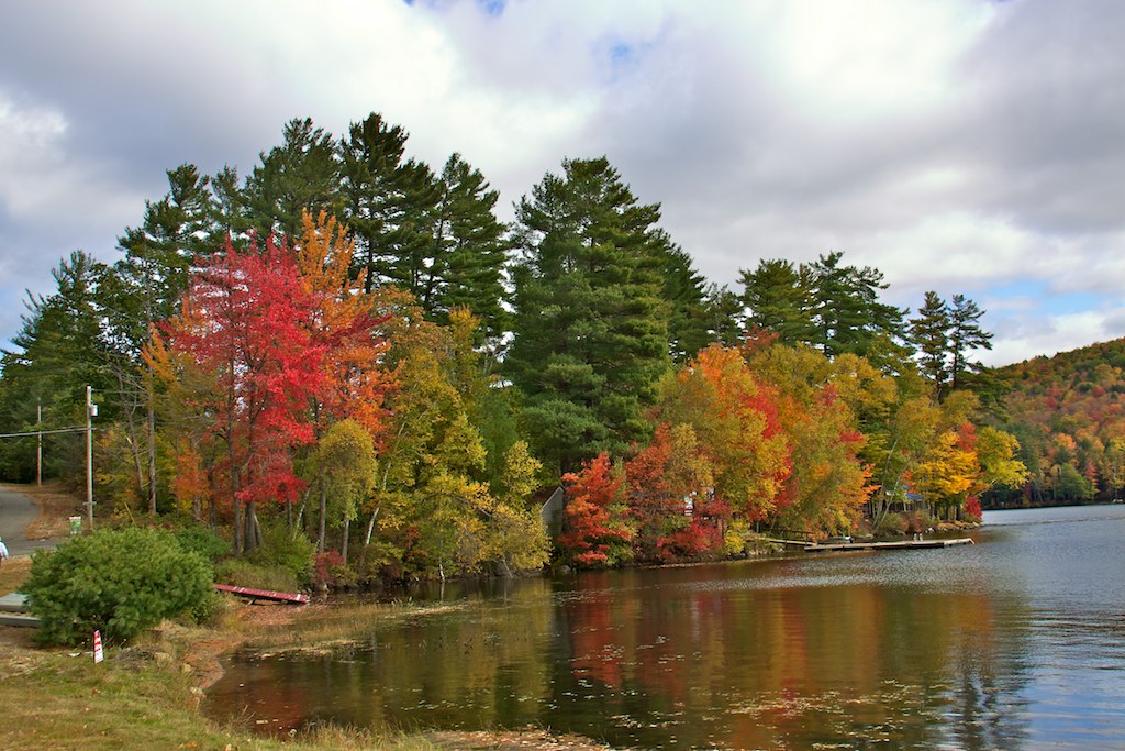
Multi-Color trees by Lake

Patten Pond at night under a Full Moon

Scenes from a snow storm

Sunset clouds

Morning at Hadley Point

Morgan Bay
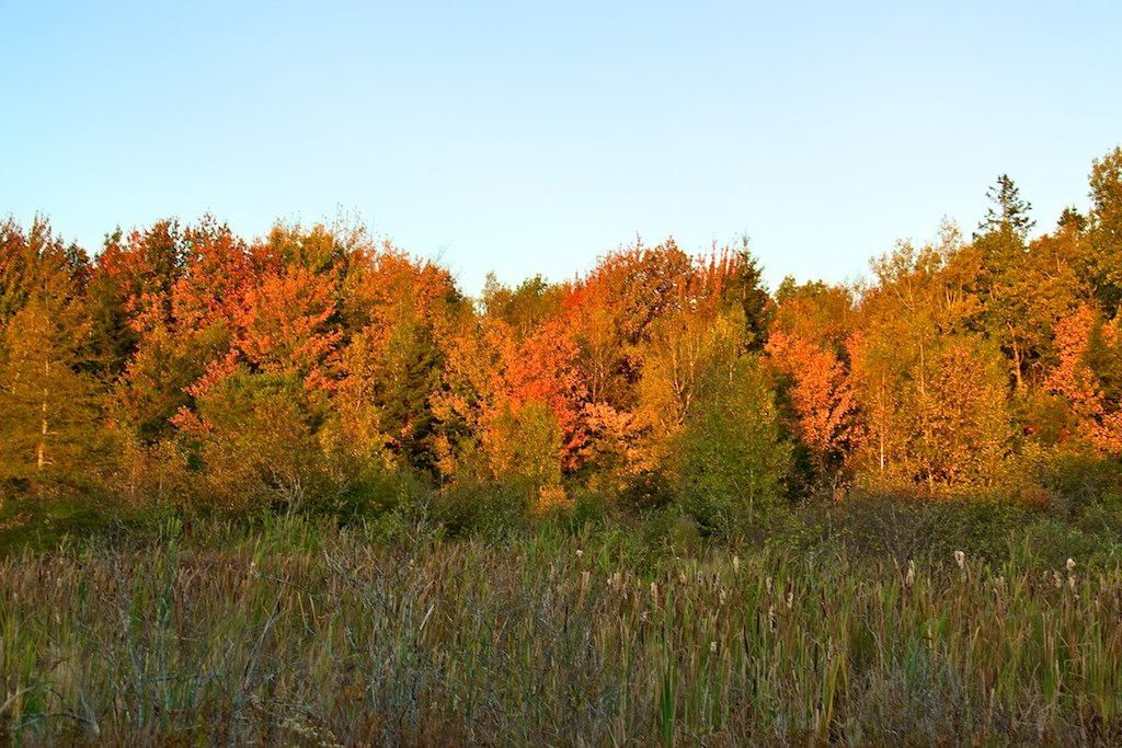
Red & Yellow Trees 3

2013-07-06 17.18.35
Hadley point

Autumn colors along Mt. Desert Narrows
Cutting the Brush
Topographic Map of 6 Terry Ln, Surry, ME, USA
Find elevation by address:

Places near 6 Terry Ln, Surry, ME, USA:
721 Morgan Bay Rd
18 Lupine Ln
13 Plovers Ln
907 Newbury Neck Rd
39 Revenue Ln
46 Revenue Ln
46 Revenue Ln
46 Revenue Ln
46 Revenue Ln
Ruthie's Way
167 Fox Ln
Old Yacht Club Road
Blue Hill Piano Service
East Blue Hill
Newbury Neck
Kinstone Lane
1591 Newbury Neck Rd
Woods Point Road
54 Rothry Rd
Oak Point Rd, Trenton, ME, USA
Recent Searches:
- Elevation of Corso Fratelli Cairoli, 35, Macerata MC, Italy
- Elevation of Tallevast Rd, Sarasota, FL, USA
- Elevation of 4th St E, Sonoma, CA, USA
- Elevation of Black Hollow Rd, Pennsdale, PA, USA
- Elevation of Oakland Ave, Williamsport, PA, USA
- Elevation of Pedrógão Grande, Portugal
- Elevation of Klee Dr, Martinsburg, WV, USA
- Elevation of Via Roma, Pieranica CR, Italy
- Elevation of Tavkvetili Mountain, Georgia
- Elevation of Hartfords Bluff Cir, Mt Pleasant, SC, USA