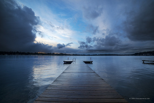
Elevation of Russian Rd, Arlington, WA, USA
Location: United States > Washington > Snohomish County > Arlington >

Longitude: -121.98579

Latitude: 48.114142

Elevation: 127m / 417feet

Barometric Pressure: 100KPa

Elevation Map:

elevation map of Russian Rd, Arlington, WA, USA

Satellite Map:

Satellite map of Russian Rd, Arlington, WA, USA
Related Photos:

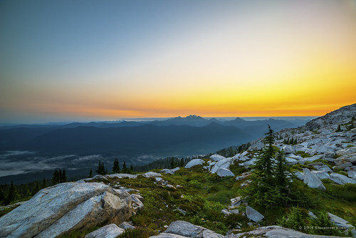
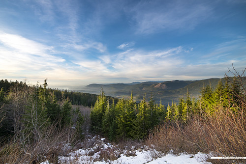
Panoramic view
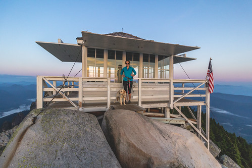
trees summer sky snow mountains fog clouds sunrise landscape washington rocks unitedstates hiking boulders cascades summit overlook granitefalls firelookout mountpilchuck threefingers 5344ft
Three Fingers at sunrise
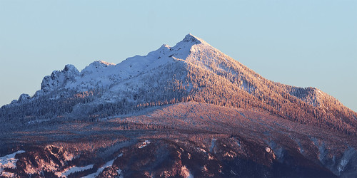
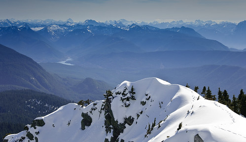
blue trees winter sunset wild sky mountain snow color detail texture ice nature forest evening washington view peak clear cascades summit bluehour range cascade pnw slopes pilchuck wildnerness
Pilchuck's Alpenglow
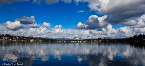
nature water canon outdoors washington waterfront places february waterscape lakestevens canonxsi wyattpark
View of Lake Stevens
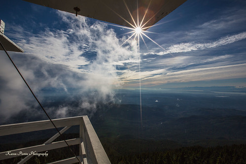
roof clouds view sunstar mtpilchuck
Sun Kissed
anthonygliozzo arlington camanoislandwashington canon100400isiilusm canon1635isusmii canon5dmarkiii snowhomishcounty washington unitedstates us
Osprey (3793) (eBird Rarity)
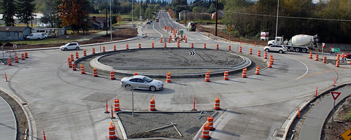
arlington roundabout dat sr9 172nd sr531
New SR 9 roundabout in Arlington
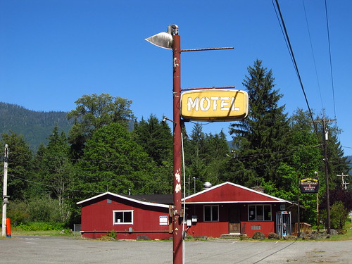
sign washington motel roadtrip mountainloophighway verlot plasticsign mountainviewinn fadingamerica
Mountain Loop Highway
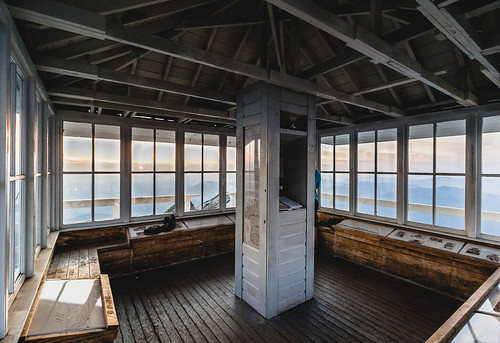
washington unitedstates granitefalls
lookout view
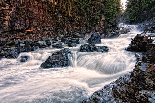
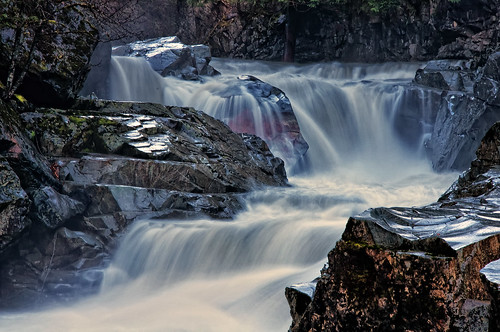
wild water creek river waterfall washington rocks stream falls rapids granite granitefalls
The river wild
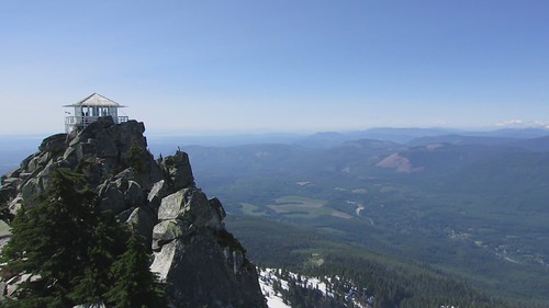
granitefalls washington unitedstates pilchuck mtpilchuck hike outdoors pilchucklookout poppymoose
small lookout - big view
Cascade View
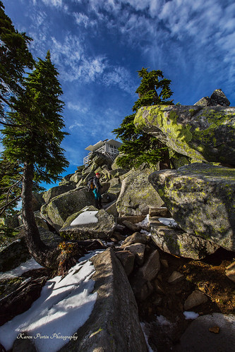
trees snow lookout boulders trail mtpilchuck
At Last! The Lookout!
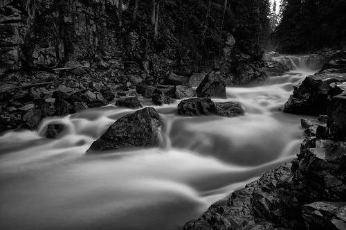
bw water creek river waterfall washington stream granite granitefalls
Granite in Gray
Panoramic view
autumn mountains fall clouds landscape us washington unitedstates overlook granitefalls mountpilchuck rokinon14mmultrawideanglef28ifedumc
View from Pilchuck
uploaded:by=flickrmobile flickriosapp:filter=nofilter
Dog's Eye View.
Panoramic view
geotagged geodir2272 geolat480998333333333 geolon122191666666667
LV1293DSC00676.JPG
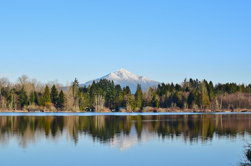
usa mountain lake tree nature washington state cassidy evergreen cascades wa
Lake Cassidy WA
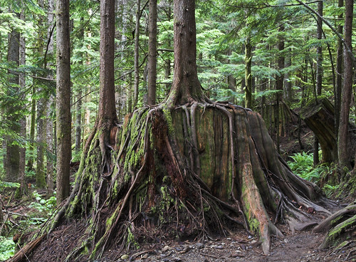
lake tree washington heather trail cedar cascades stump specnature jun0717201
A Cedar Reborn
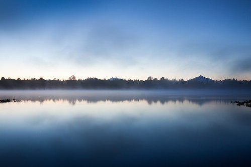
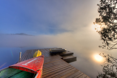
morning blue lake reflection water fog sunrise dark early bluehour watermirror lakecassidy
Nature's Foggy Mirror
Frozen Fog
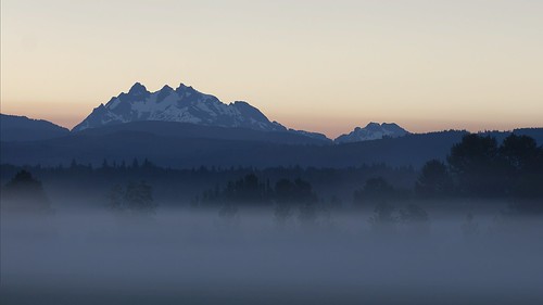
blue mountain nature field fog sunrise landscape washington mood moody pacificnorthwest bluehour pnw threefingers smokeypoint
Good Morning, Mountain
lake landscape nikon sunday pacificnorthwest washingtonstate pnw snohomishcounty d610 northwestwashington roesinger ryderphotographic lakeroesinger howardryder
Roesinger awakens
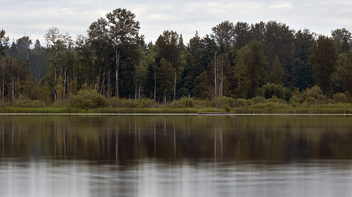
longexposure trees wild lake detail nature water watercolor dock smooth relaxing peaceful lakecassidy
Watercolor photo
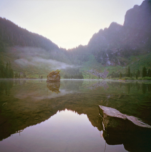
longexposure lake 120 film mediumformat washington image kodak hiking pinhole 120film 100 pinholecamera washingtonstate alpinelake zero zero2000 pinholephotography zeroimage pilchuck asa100 heatherlake mtpilchuck ektar mountainloophighway zeroimagepinhole f138 kodakektar kodakektar100 ektar100
Heather Lake
sunset bw weather clouds landscape nikon scenery nik tamron hdr wx snohomishcounty d610 lakestevens lakecassidy silverefex ryderphotographic howardryder tamronsp7002000mmf28divcusd
Angry cloud
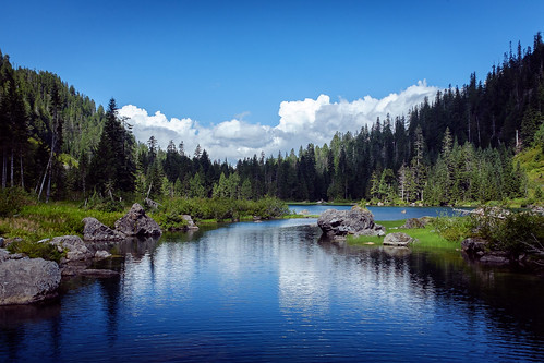
blue summer lake mountains reflection nature water clouds landscape outdoors photography day cloudy hiking hike cascades granitefalls northcascades 2014 heatherlake michaelriffle pwpartlycloudy
Picture-Perfect Day
water river waterfall washington rocks stream falls granitefalls
Granite Falls
square squareformat iphoneography instagramapp uploaded:by=instagram foursquare:venue=4c68a170fe6ad13ad8aa70ae
Panoramic...damn square format
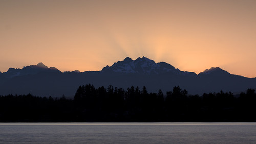
morning pink orange lake mountains color water beautiful photoshop sunrise canon early washington intense cloudy 100mm shore rays sunrays cascade crepuscular cascaderange lakestevens
Deep Color Over Three Fingers
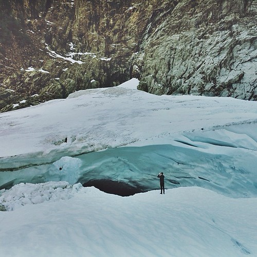
square squareformat iphoneography instagramapp uploaded:by=instagram foursquare:venue=4e2cc48d8877b69d49ee981f webfeatured500
Big ol caves.
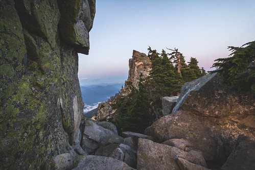
outdoors washington unitedstates hike granitefalls pilchuck mtpilchuck pilchucklookout
mount crumpit
mountainloophighway landscape stillaguamishriver riverbank slowshutterspeed longexposure bensoncreek
Stillaguamish River
trees mist forest path reservoir
misty walk
water creek river waterfall washington stream falls granite lower tripplefalls triplecreek triplecreekfalls
Standing in streams
blue winter sunset sky lake seascape storm reflection water clouds landscape pier washington dock unitedstates sunsetpark lakestevens rokinon14mmultrawideanglef28ifedumc
the entrance...
mist field fog arlington sunrise washington state farm sony farmland wa hay fullframe alpha sunrays za 850 carlzeiss arlingtonwa a sal2470z variosonnar247028za sonycz2470mmf28 2470mmf28carlzeissvariosonnart
Arlington field in the morning