Elevation of Rushford, ND, USA
Location: United States > North Dakota > Walsh County >
Longitude: -97.703090
Latitude: 48.3309872
Elevation: 295m / 968feet
Barometric Pressure: 98KPa
Elevation Map:
Satellite Map:
Related Photos:

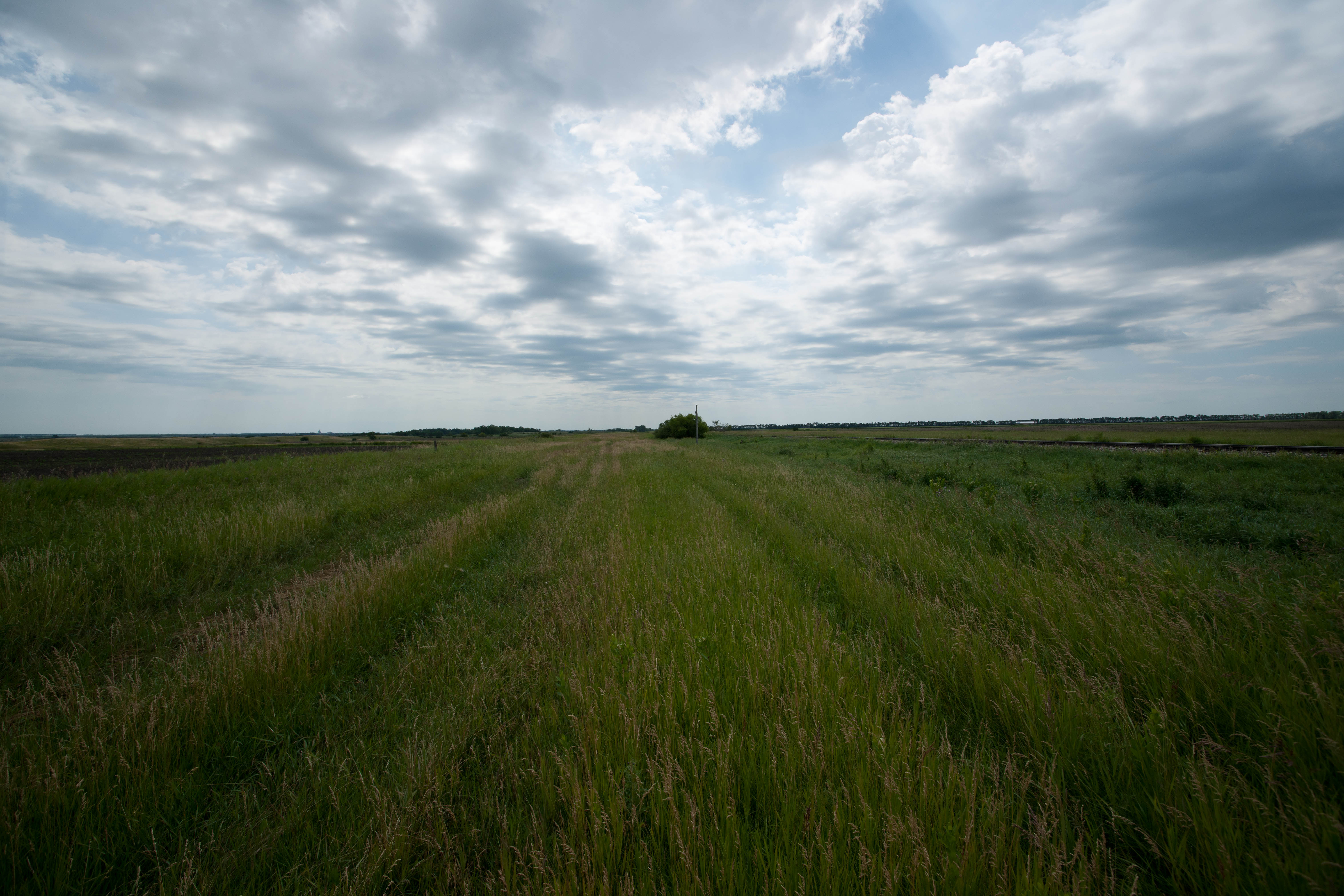
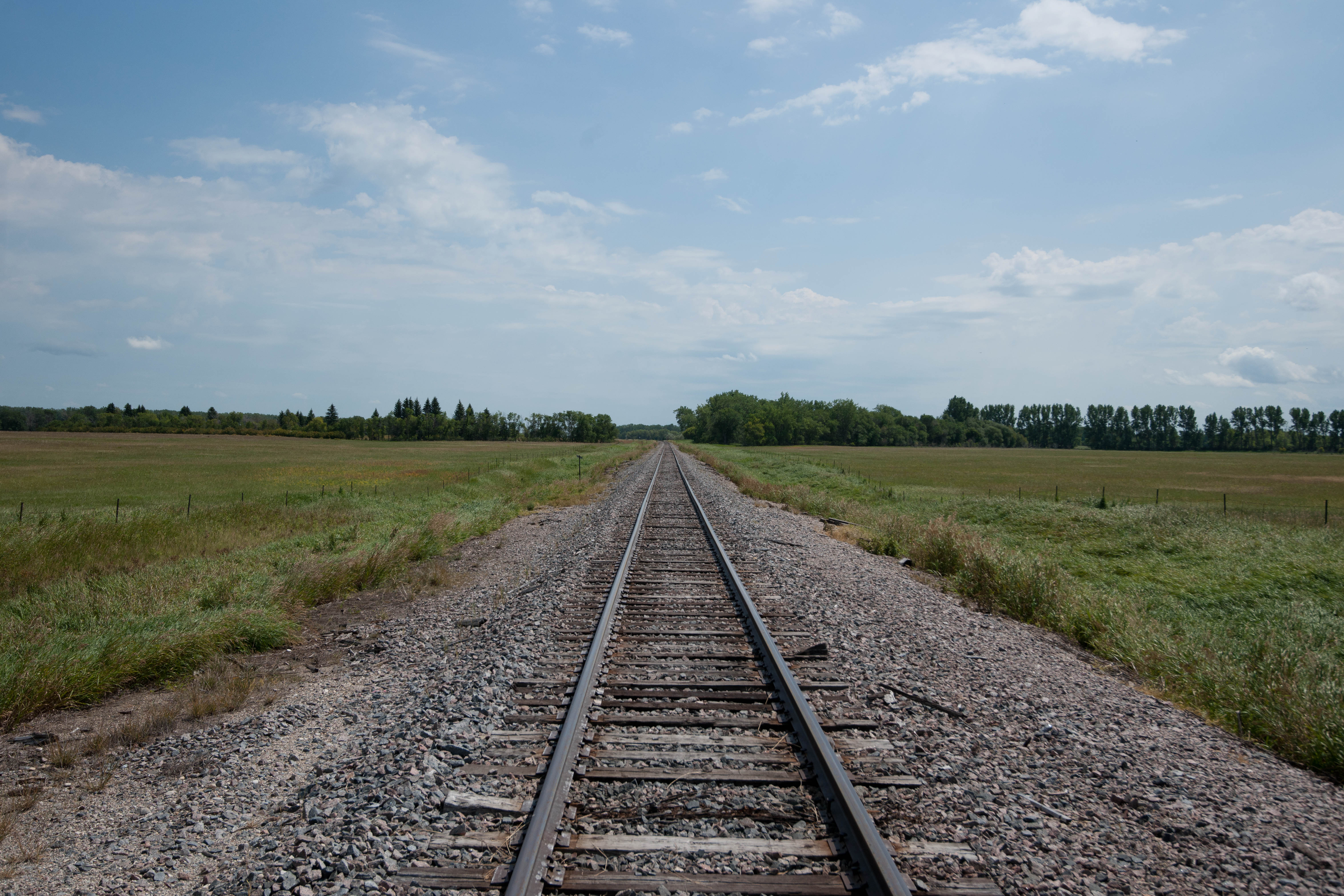
Rows in the field
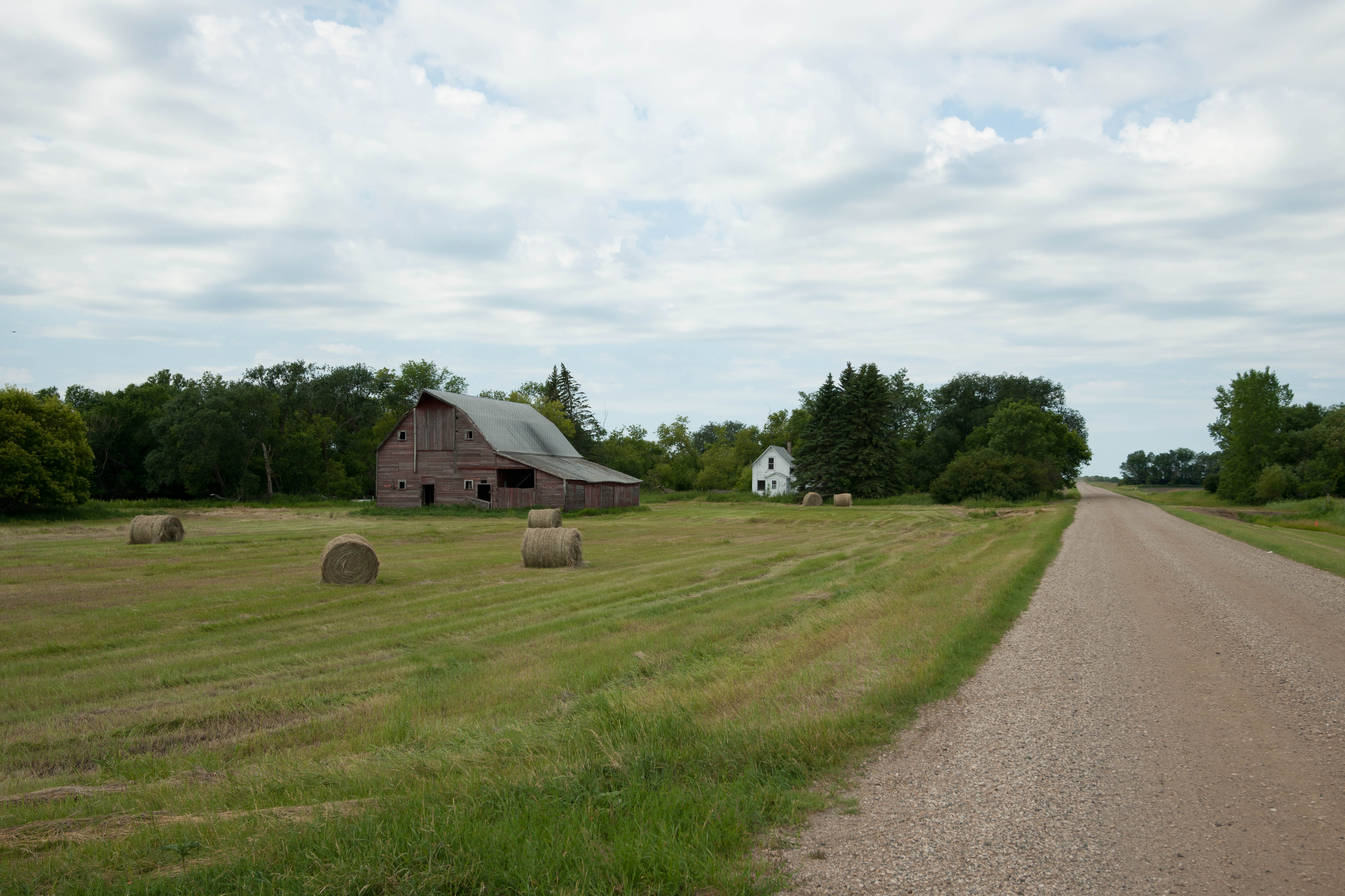
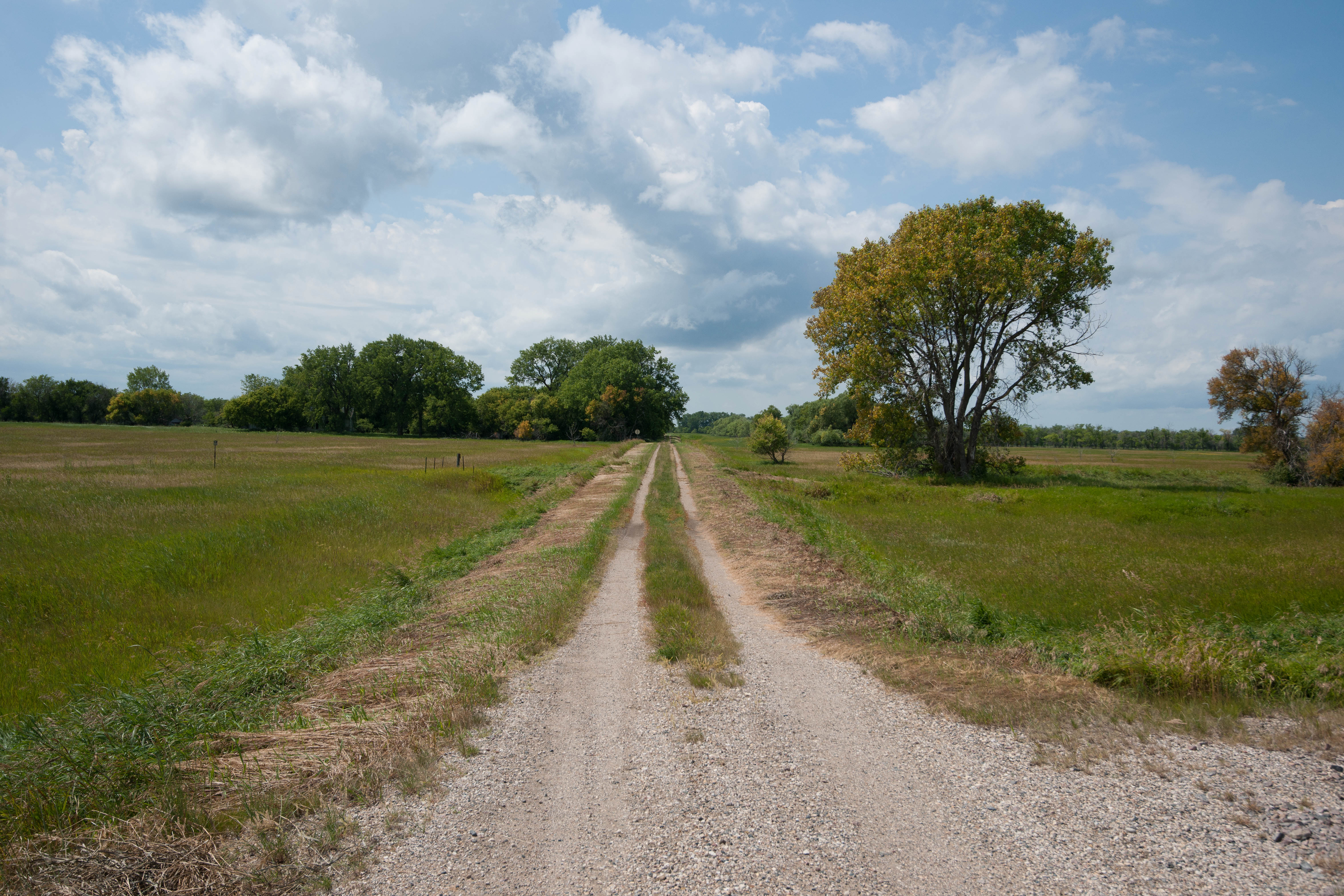
Dewar, North Dakota
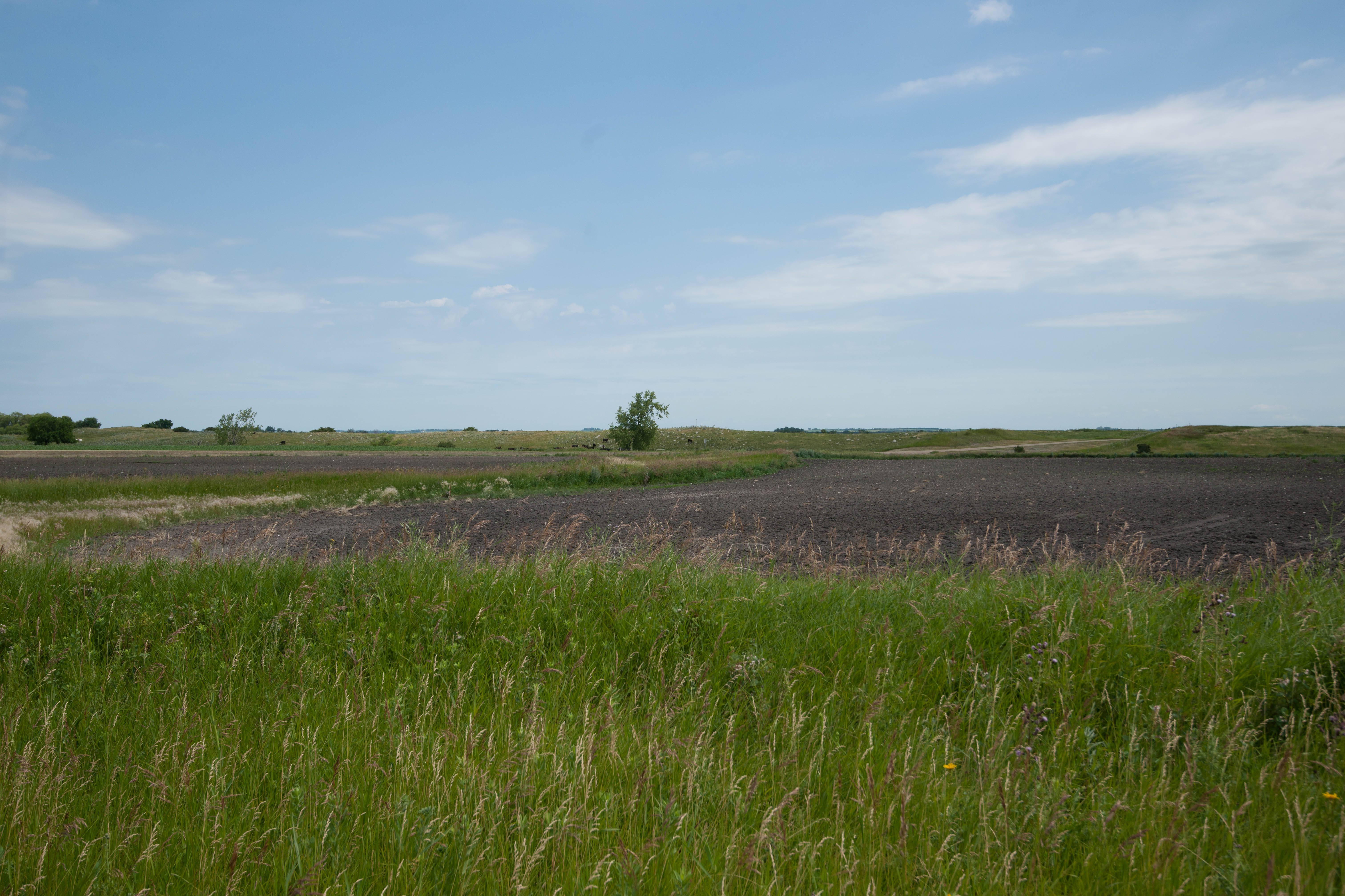
Park River, North Dakota

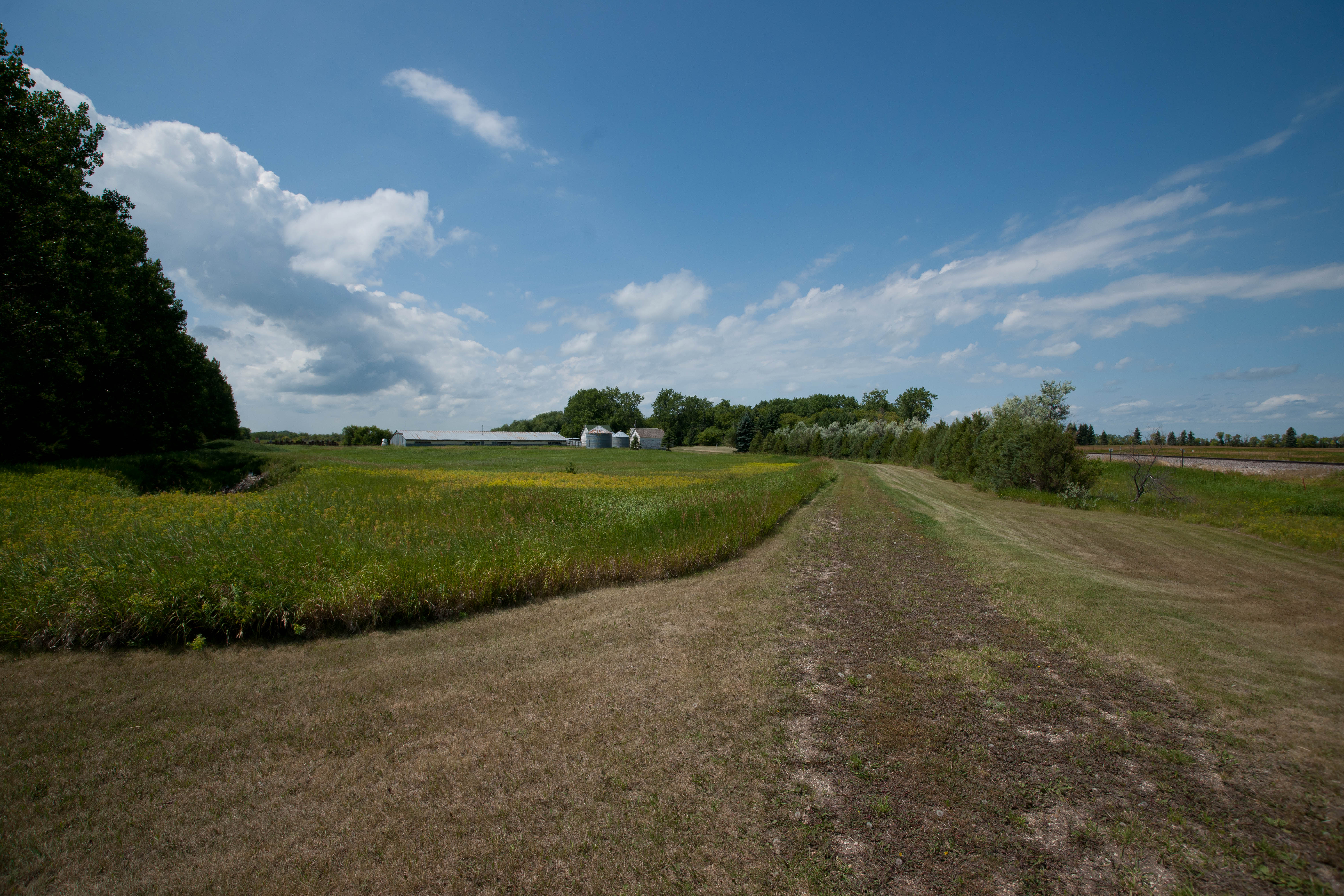
Walsh Cty 12B
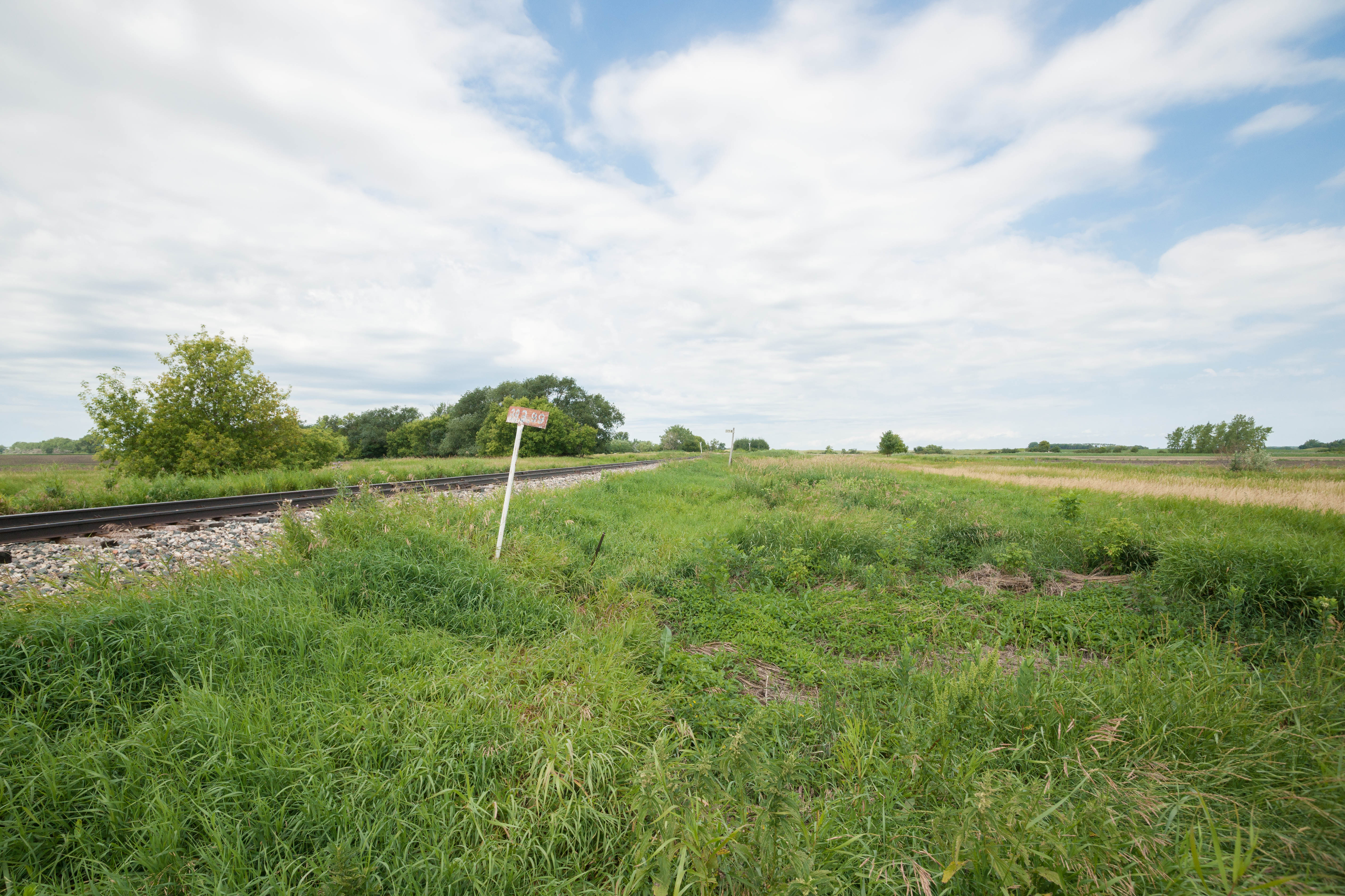
Lankin, North Dakota
Dewar, North Dakota
Dewar, North Dakota
Dewar, North Dakota
Kerry, North Dakota
Dewar, North Dakota
Kerry, North Dakota
Kerry, North Dakota
Topographic Map of Rushford, ND, USA
Find elevation by address:

Places in Rushford, ND, USA:
Places near Rushford, ND, USA:
Pisek
Walsh County
Park River
14158 67th St Ne
Fertile
Glenwood
1030 Dale Ave
Dale Ave, Hoople, ND, USA
Brennan Ave, Forest River, ND, USA
1486 Dogwood Ave
1456 Dogwood Ave
1456 Dogwood Ave
1456 Dogwood Ave
Plymouth
1203 Kittson Ave
252 W 3rd St
Grafton
38 E 12th St, Grafton, ND, USA
2564 49th St Ne
Larimore
Recent Searches:
- Elevation of Corso Fratelli Cairoli, 35, Macerata MC, Italy
- Elevation of Tallevast Rd, Sarasota, FL, USA
- Elevation of 4th St E, Sonoma, CA, USA
- Elevation of Black Hollow Rd, Pennsdale, PA, USA
- Elevation of Oakland Ave, Williamsport, PA, USA
- Elevation of Pedrógão Grande, Portugal
- Elevation of Klee Dr, Martinsburg, WV, USA
- Elevation of Via Roma, Pieranica CR, Italy
- Elevation of Tavkvetili Mountain, Georgia
- Elevation of Hartfords Bluff Cir, Mt Pleasant, SC, USA