Elevation of Dogwood Ave, Grafton, ND, USA
Location: United States > North Dakota > Walsh County > Grafton >
Longitude: -97.421803
Latitude: 48.4086297
Elevation: 253m / 830feet
Barometric Pressure: 98KPa
Elevation Map:
Satellite Map:
Related Photos:

road trippin...
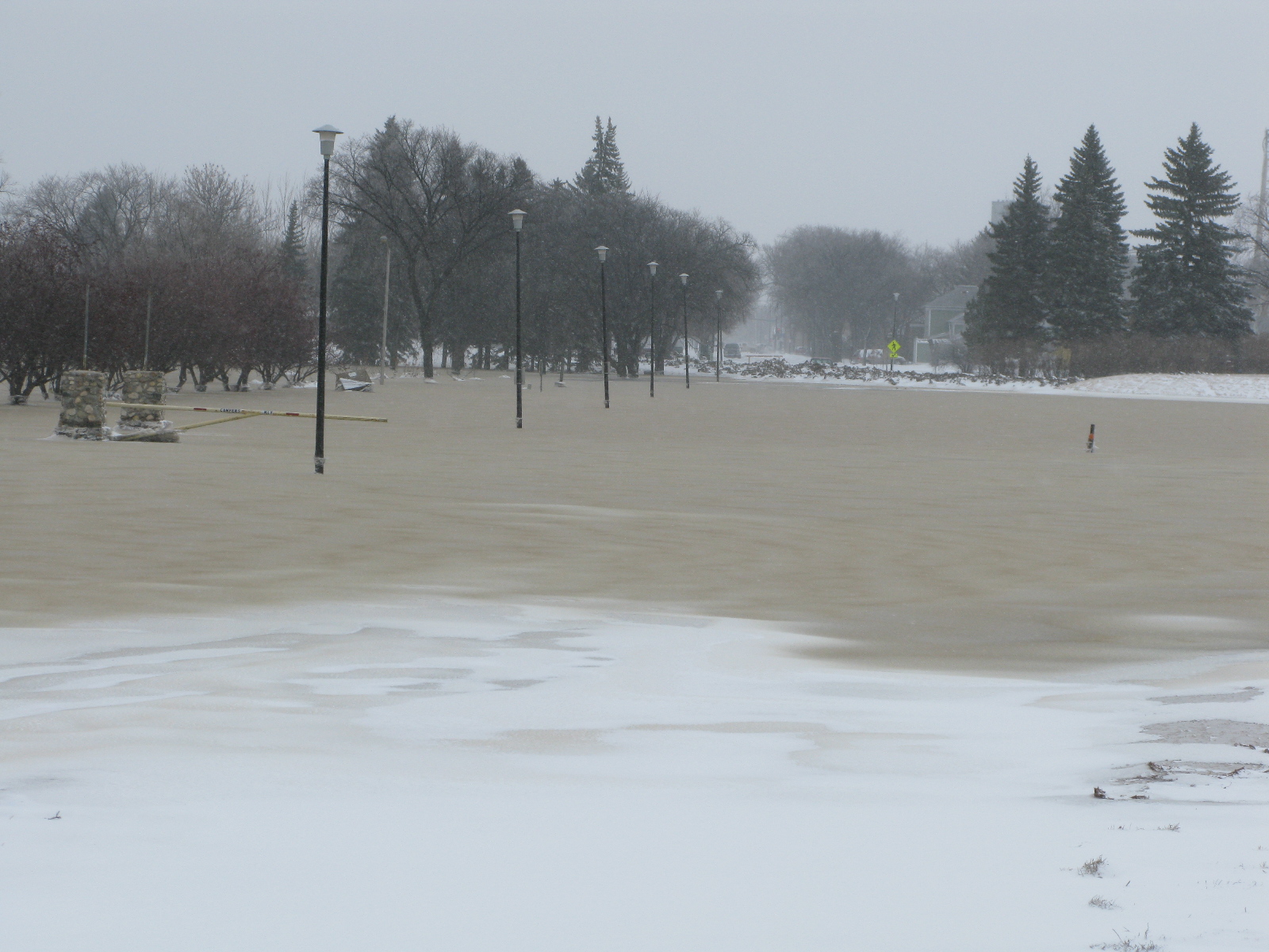
Grafton Flood 2009 WEDNESDAY March 25 - noonish 019
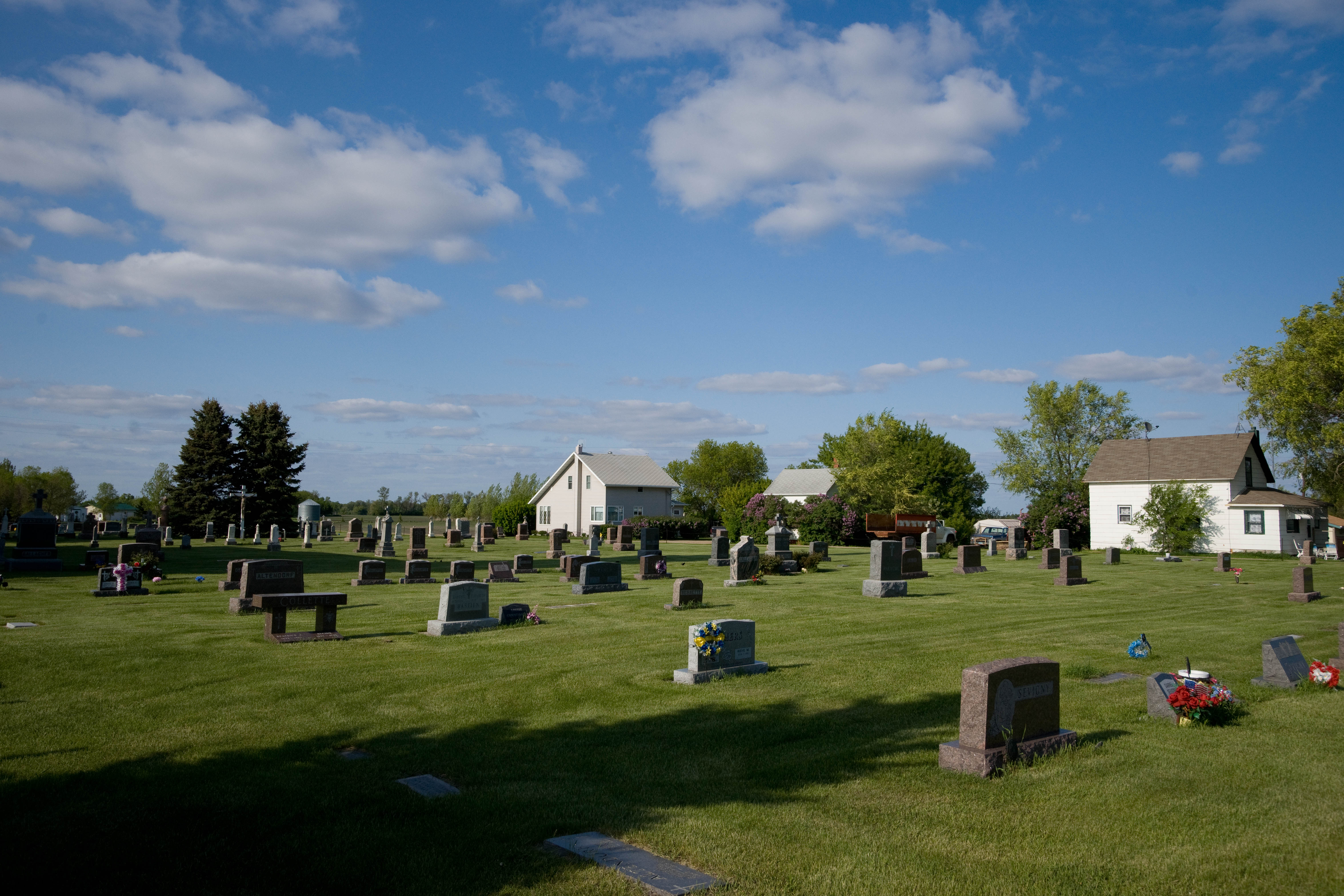
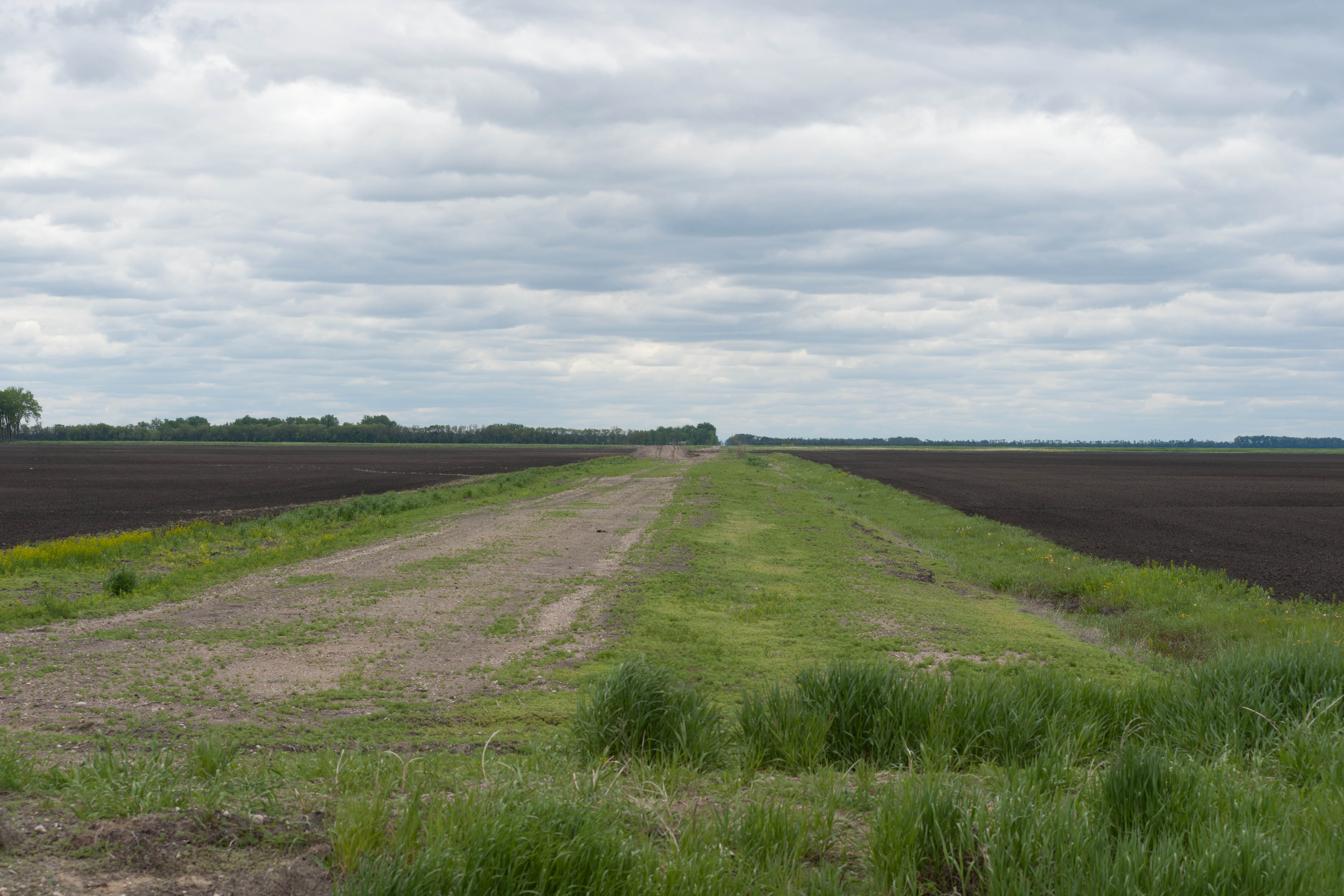
Herriott, North Dakota
Herriott, North Dakota
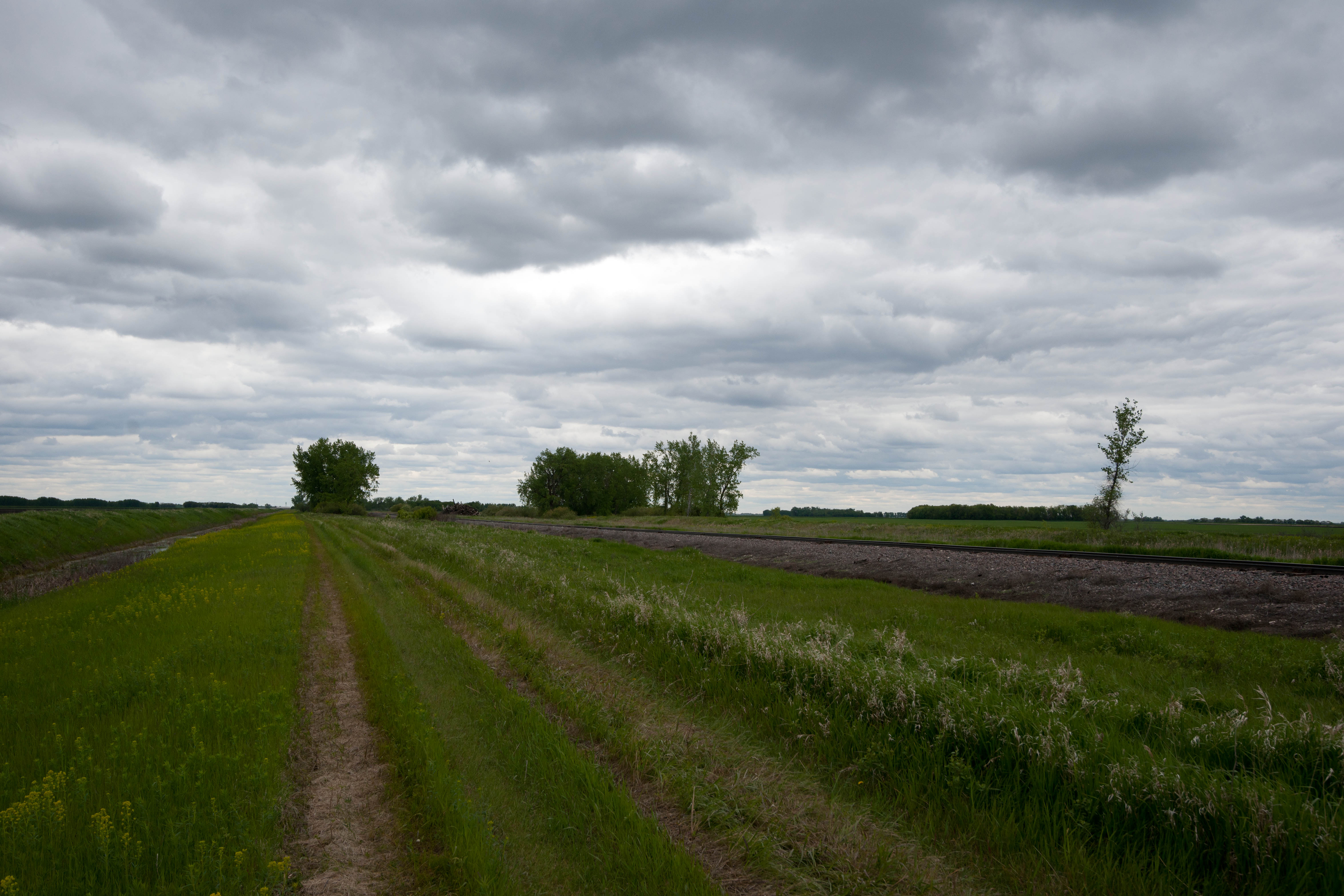
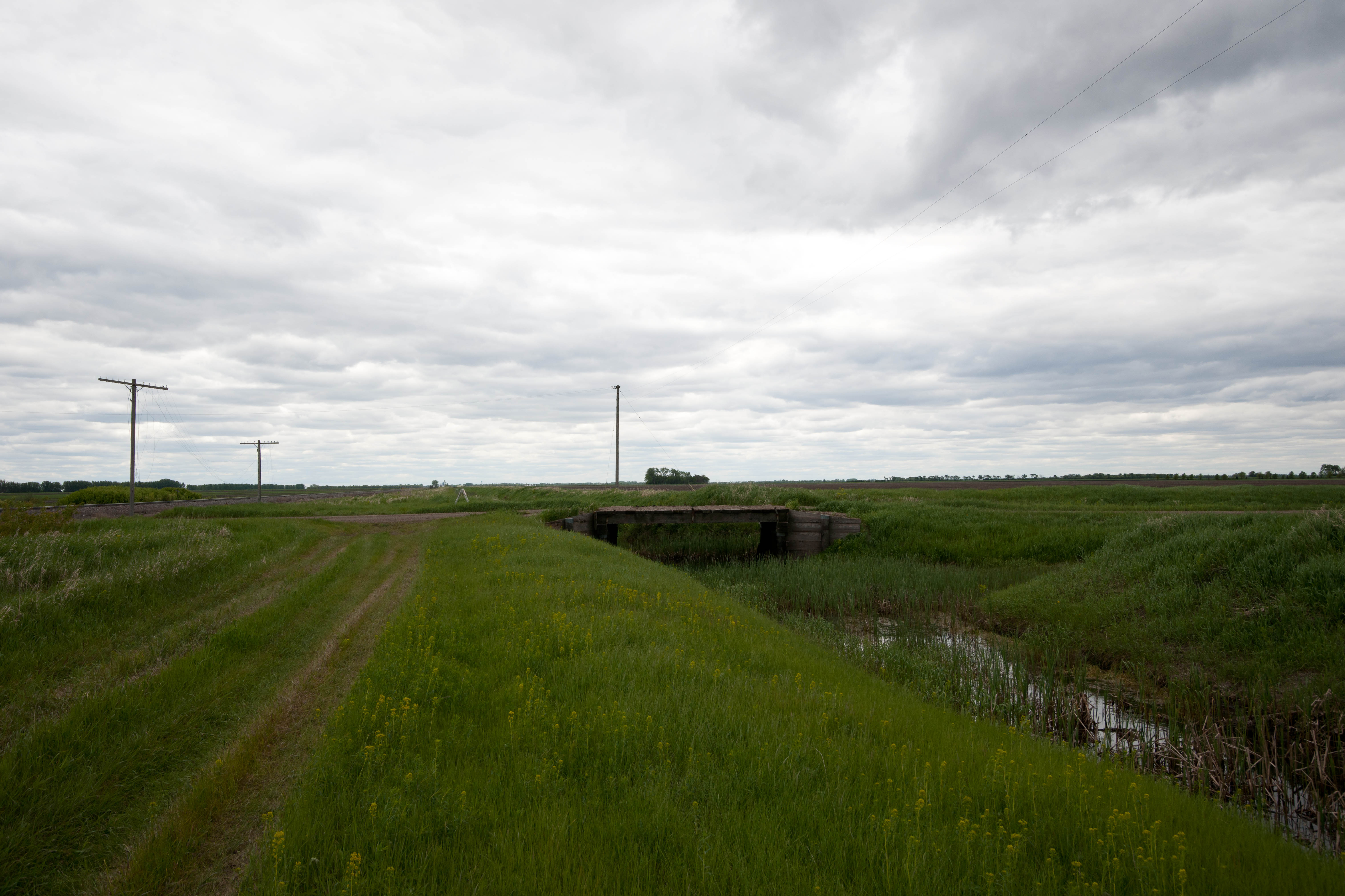
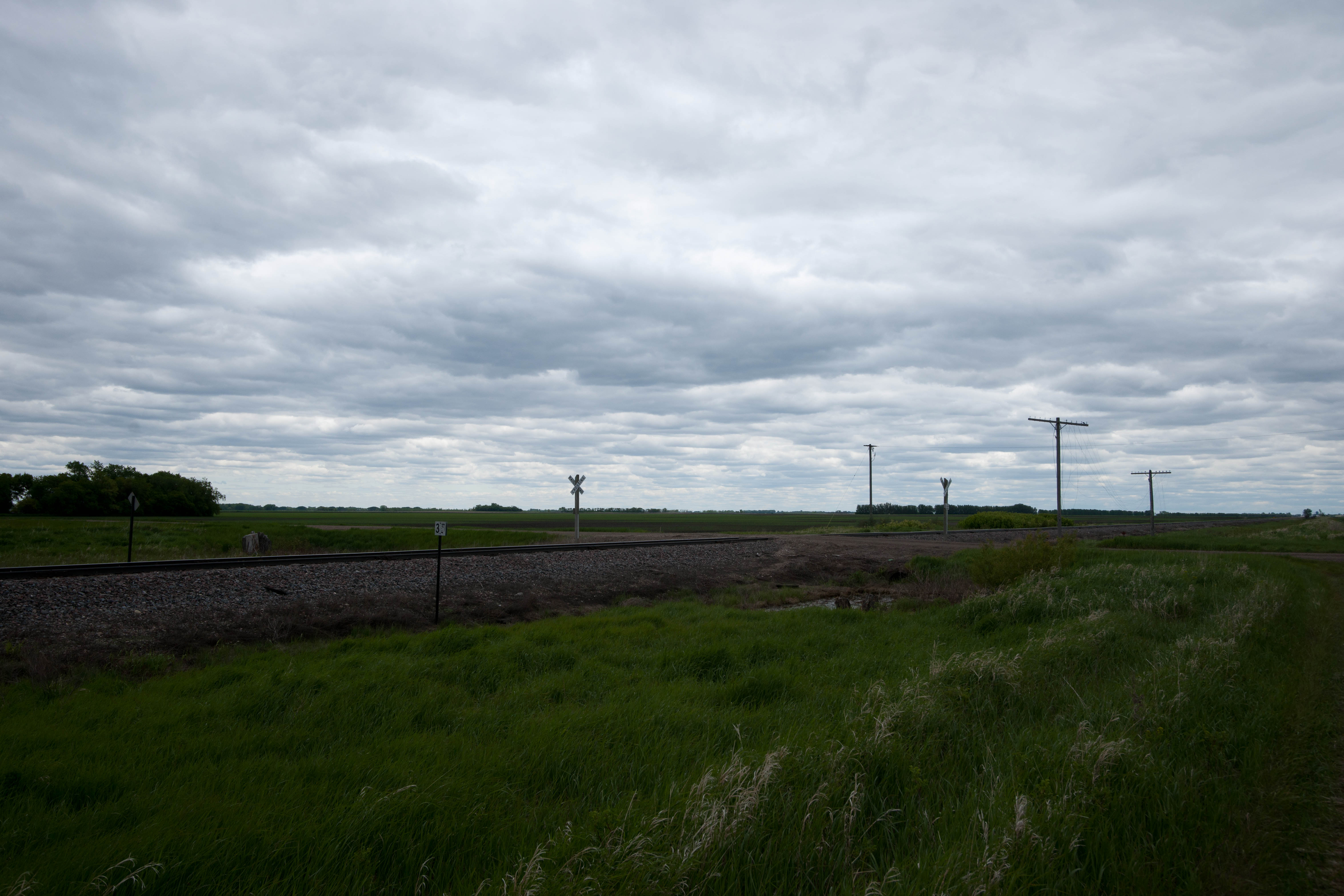
Kellogg, North Dakota
Herriott, North Dakota
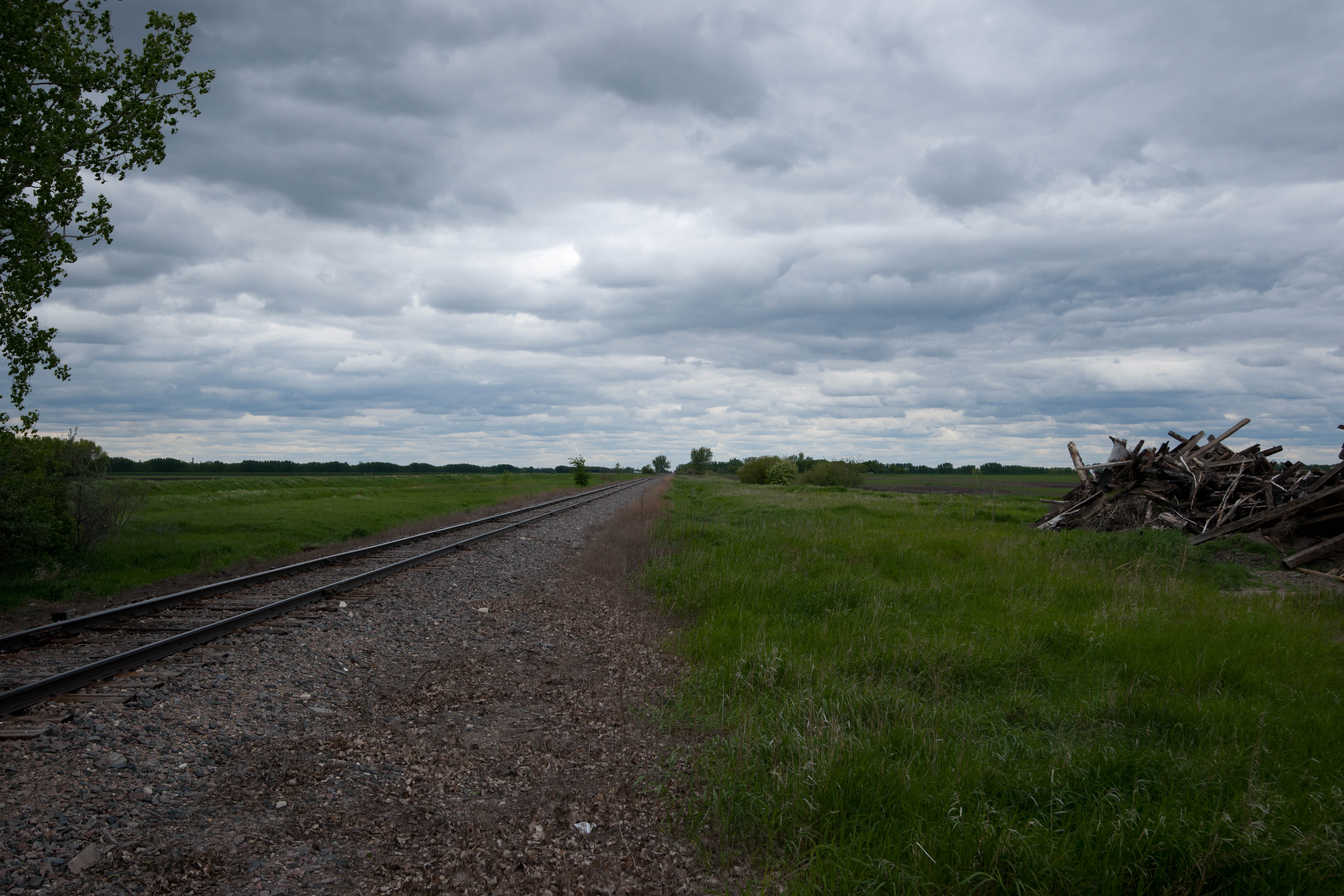
Kellogg, North Dakota
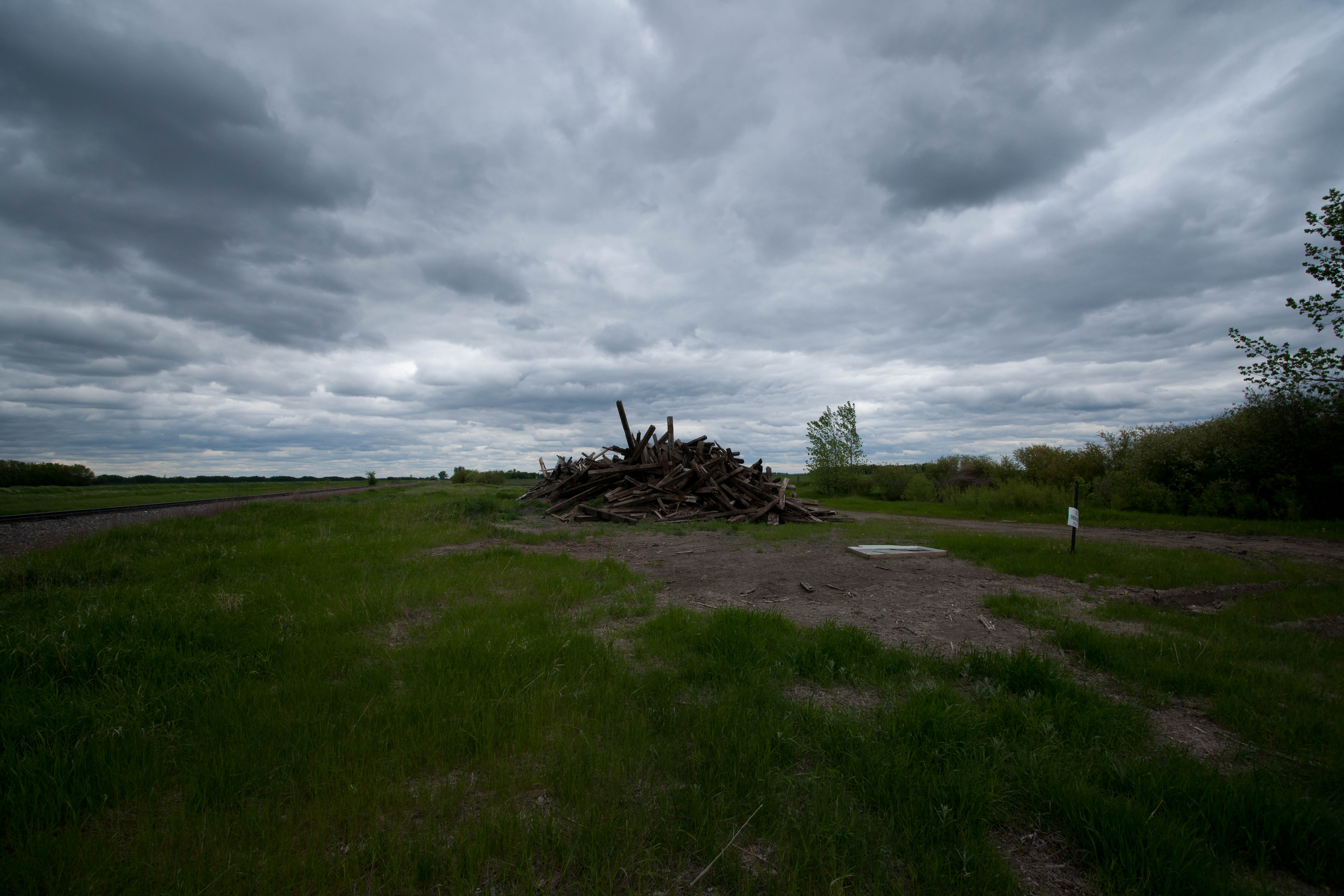
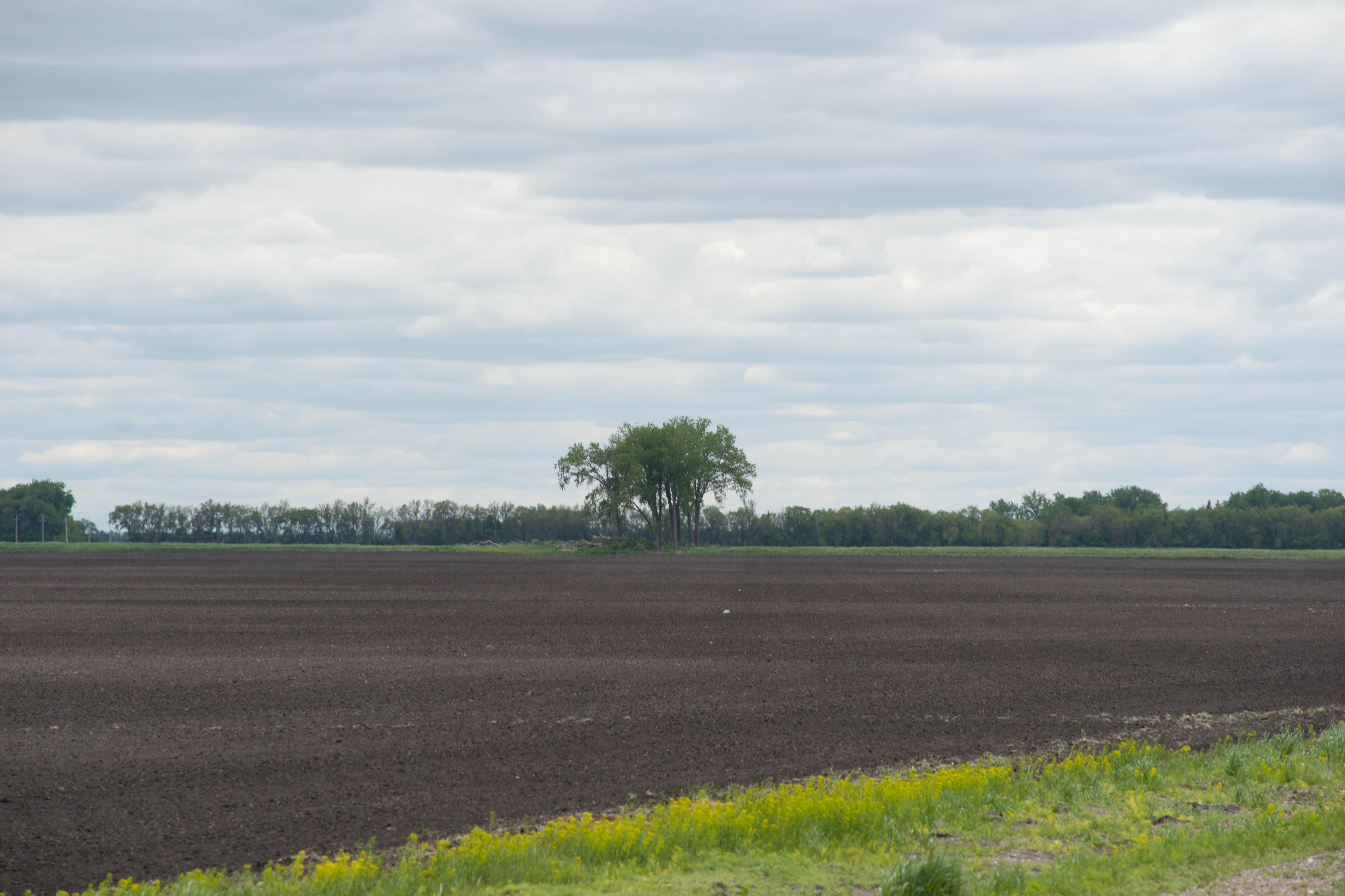
Oakwood, North Dakota
Kellogg, North Dakota
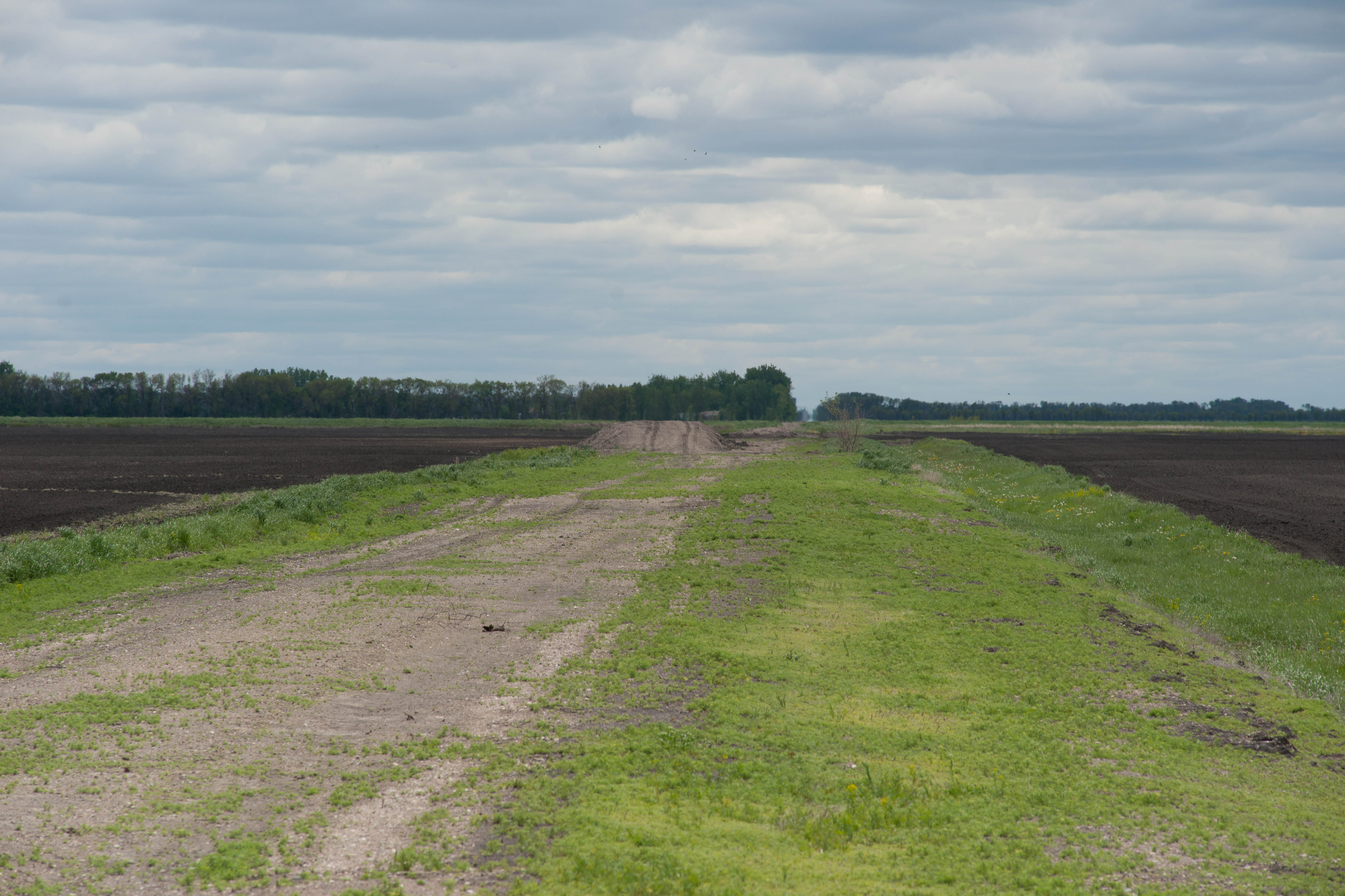
Herriott, North Dakota
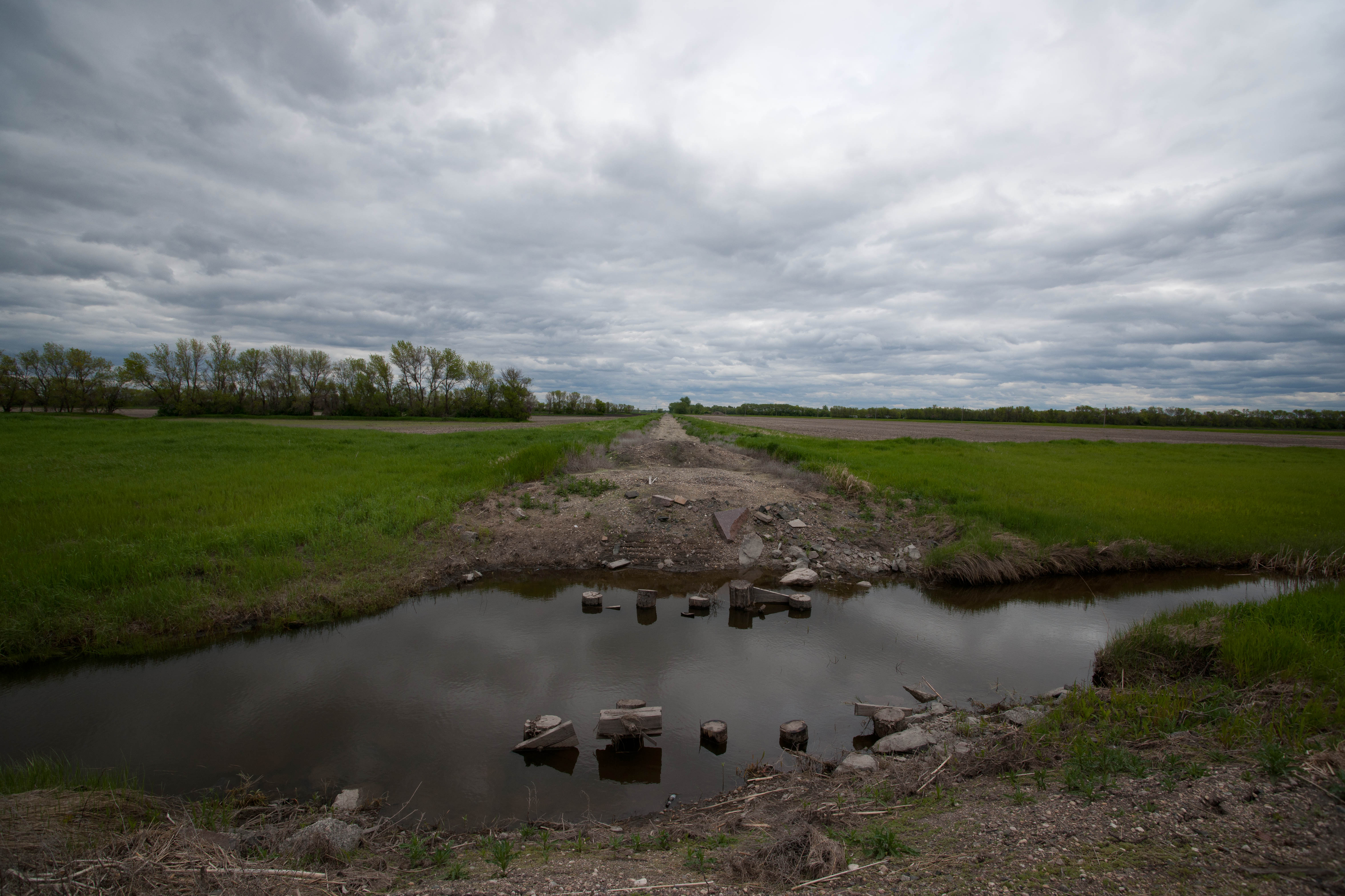
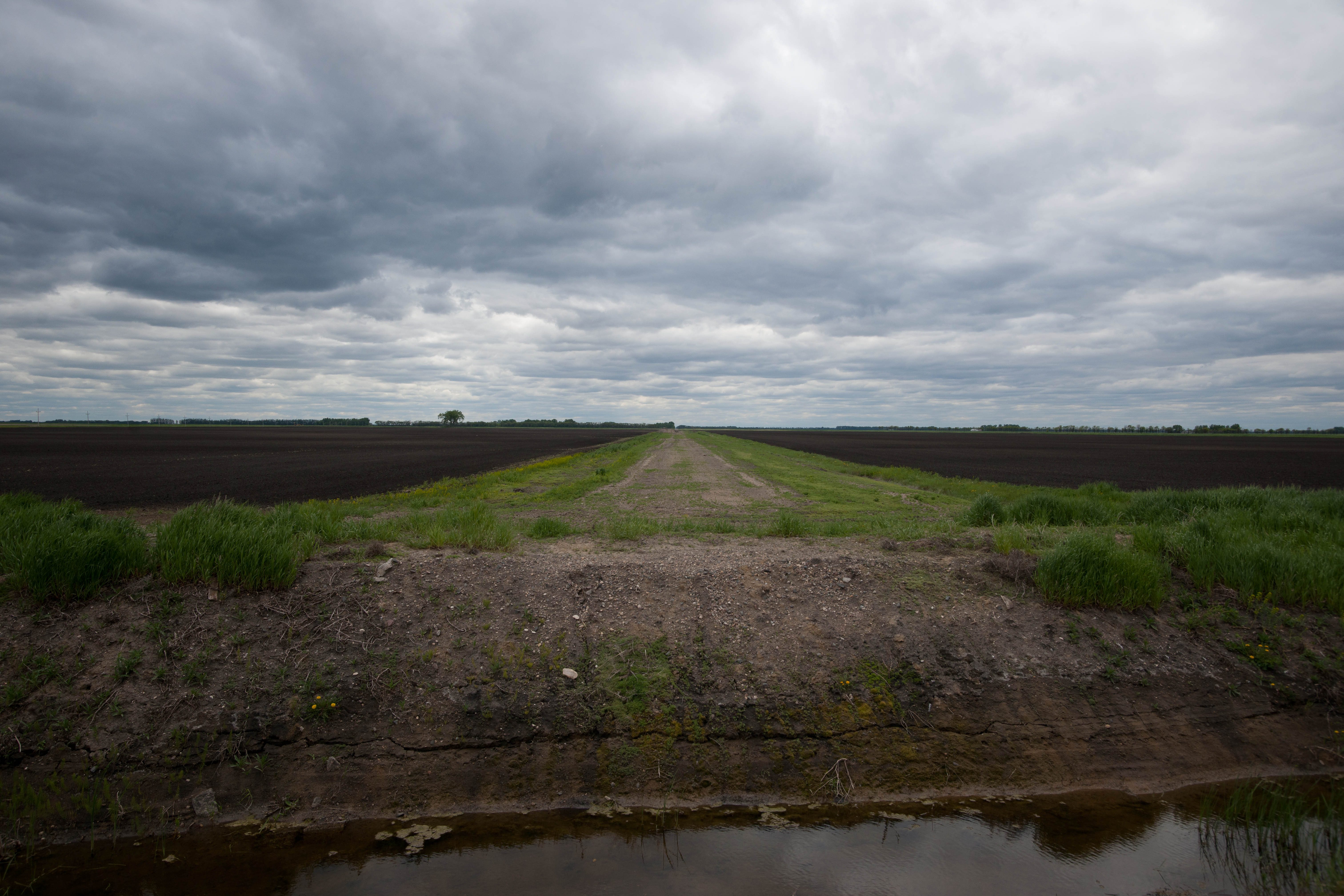
Kellogg, North Dakota
Herriott, North Dakota

Path to... • #new #norge #norway #norvege
Kellogg, North Dakota
Topographic Map of Dogwood Ave, Grafton, ND, USA
Find elevation by address:

Places near Dogwood Ave, Grafton, ND, USA:
1456 Dogwood Ave
1456 Dogwood Ave
1456 Dogwood Ave
1203 Kittson Ave
Grafton
38 E 12th St, Grafton, ND, USA
252 W 3rd St
Fertile
14158 67th St Ne
Brennan Ave, Forest River, ND, USA
Glenwood
1030 Dale Ave
Dale Ave, Hoople, ND, USA
Rushford
Pisek
Pembina County
Park River
Walsh County
Oslo
Marshall St, Oslo, MN, USA
Recent Searches:
- Elevation of Corso Fratelli Cairoli, 35, Macerata MC, Italy
- Elevation of Tallevast Rd, Sarasota, FL, USA
- Elevation of 4th St E, Sonoma, CA, USA
- Elevation of Black Hollow Rd, Pennsdale, PA, USA
- Elevation of Oakland Ave, Williamsport, PA, USA
- Elevation of Pedrógão Grande, Portugal
- Elevation of Klee Dr, Martinsburg, WV, USA
- Elevation of Via Roma, Pieranica CR, Italy
- Elevation of Tavkvetili Mountain, Georgia
- Elevation of Hartfords Bluff Cir, Mt Pleasant, SC, USA