Elevation of Rujeib

Longitude: 35.291606

Latitude: 32.191628

Elevation: 525m / 1722feet

Barometric Pressure: 95KPa

Elevation Map:

elevation map of Rujeib

Satellite Map:

Satellite map of Rujeib

Related Photos:

archaeology ancienthistory middleeast aerial libraryofcongress airphoto oblique aerialphotography matsoncollection nitratenegative aerialarchaeology geocodedbasedonsite
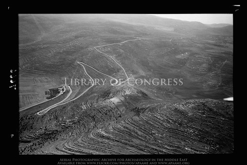
Lubban. Showing zig-zag motor road
palestine nablus naplouse gerzim
Nablus (PS)
panorama mountain palestine nablus panoramic gerzim
Nablus From Gerzim Mountain
panorama palestine nablus panoramic naplouse gerzim
Nablus Panoramic
panorama train palestine nablus jenin ottoman dayr sharaf naplouse sabastia
View from old train station
city palestine westbank nablus territories palestinian vestbredden
Nablus city
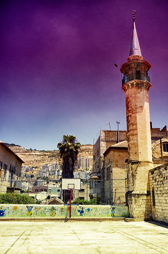
city palestine westbank minaret nablus mosque kindergarten territories palestinian vestbredden
Nablus Kindergarten
His view
panorama palestine nablus panoramic naplouse gerzim
Gerzim Mountain
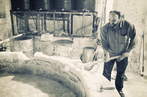
city soap factory palestine westbank nablus territories palestinian vestbredden
Packing soap
city soap factory palestine westbank nablus territories palestinian vestbredden
Making soap
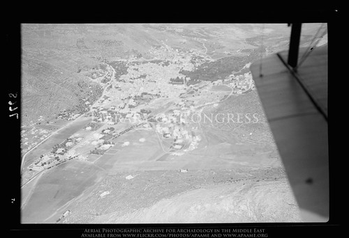
archaeology ancienthistory middleeast aerial libraryofcongress airphoto oblique aerialphotography matsoncollection nitratenegative aerialarchaeology geocodedbasedonsite
Nablus. Showing slope of Ebal
city film hongkong palestine westbank nablus slide dias territories palestinian vestbredden
View of Hong Kong, from Nablus
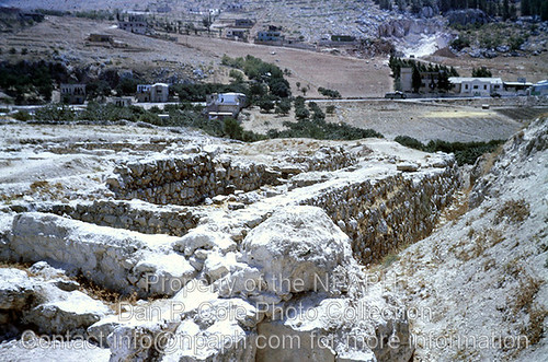
Camp; 4:15 a.m., view form sleeping tent at wake-up time. (1966, ID: cColepShechem044, Source: slide, Repository: NPAPH-project, Creator(s): Dan P. Cole)
city boys kids happy palestine westbank nablus laughter territories palestinian vestbredden
The boys are back in town
Fld VI; Outside of MB west wall of city; view from west gate (see cColepShechem036). (1962, ID: cColepShechem042, Source: slide, Repository: NPAPH-project, Creator(s): Dan P. Cole)
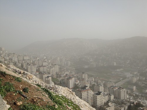
Misty view over Nablus
Samaritan village, near Nablus
religion ioanbotezătorul trip israel biblicalsite pilgrimage travel
P9223403.jpg
Ramallah - Nablus Biking round trip 121 km
religion biblicalsite trip israel travel pilgrimage
P9223404.jpg
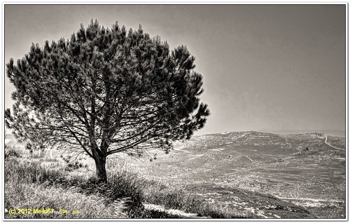
lonely tree yizhar shomron s95 samaria bw canon
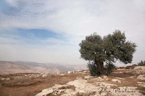
Lonely Tree in Yizhar I ●S95●
religion biblicalsite samaria johnthebaptist pilgrimage ioanbotezătorul trip israel travel
P9223420.jpg
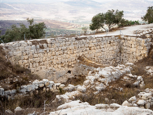
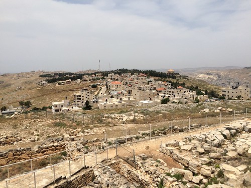
Mount Gerizim, Shechem
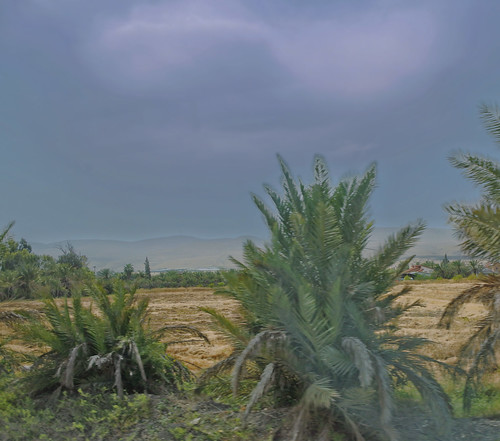
israel jordan field hdr
Palm Fields
religion biblicalsite samaria johnthebaptist pilgrimage ioanbotezătorul trip israel travel
P9223412.jpg
palestine westbank
Jordan Valley, northern West Bank
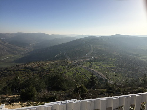
day nablus clear
Nablus sarra
nablus uploaded:by=flickrmobile flickriosapp:filter=nofilter
Nablus city
Burin (22)
palestine westbank
Jordan Valley, northern West Bank
em10 israel landscape mft microfourthirds mosque omd olympus samaria sebastiye viewpoint
Sebastiye E4070240_61
Ancient Shiloh
travel sky tree grass clouds landscape israel asia stones hills valley
*
Mount Gerizim, Shechem