Elevation of Tell Balata / Biblical Shechem, road
Longitude: 35.2816452
Latitude: 32.2139057
Elevation: 527m / 1729feet
Barometric Pressure: 95KPa
Elevation Map:
Satellite Map:
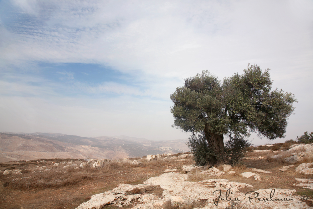
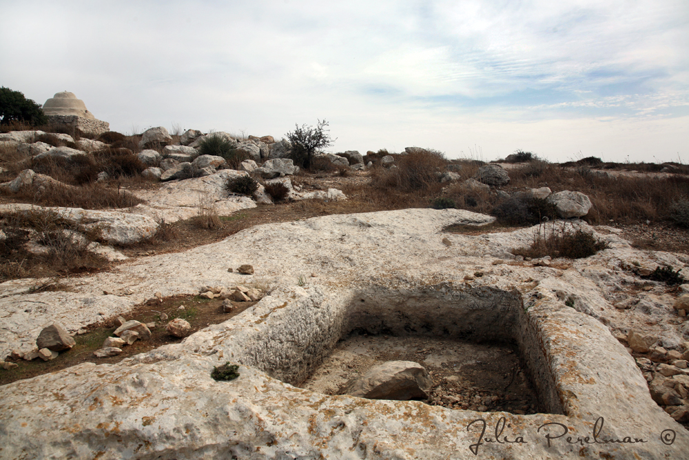
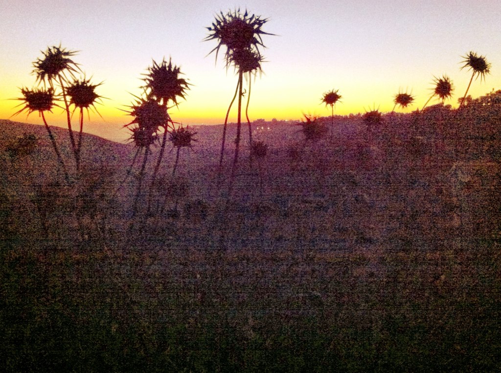
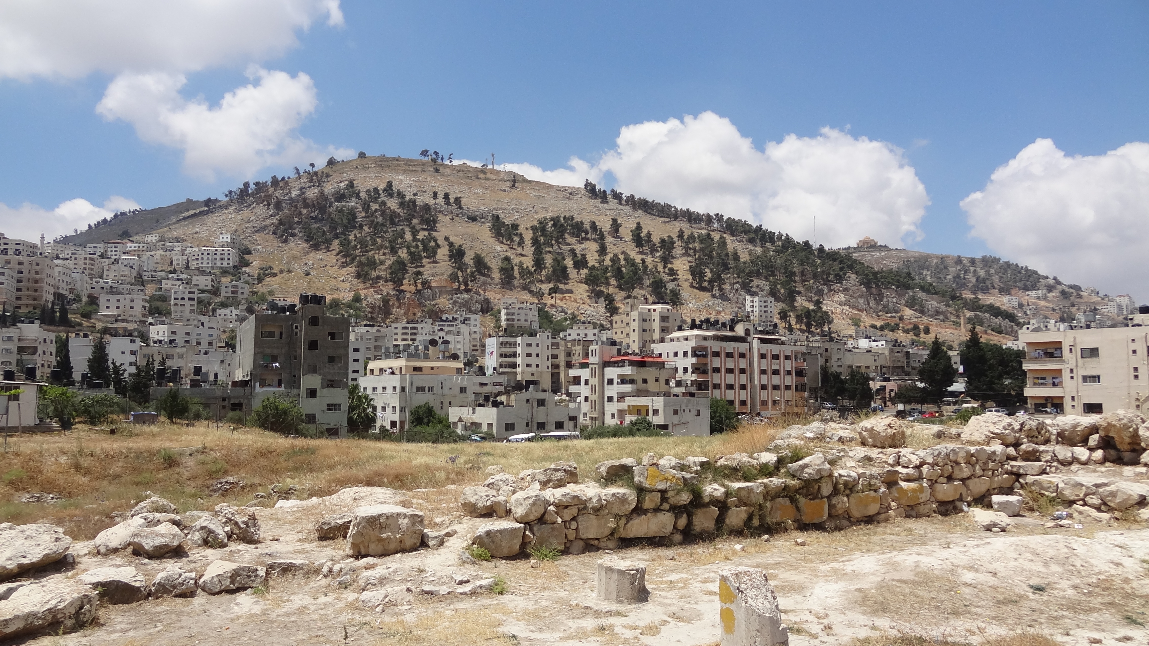
Related Photos:

Nablus city
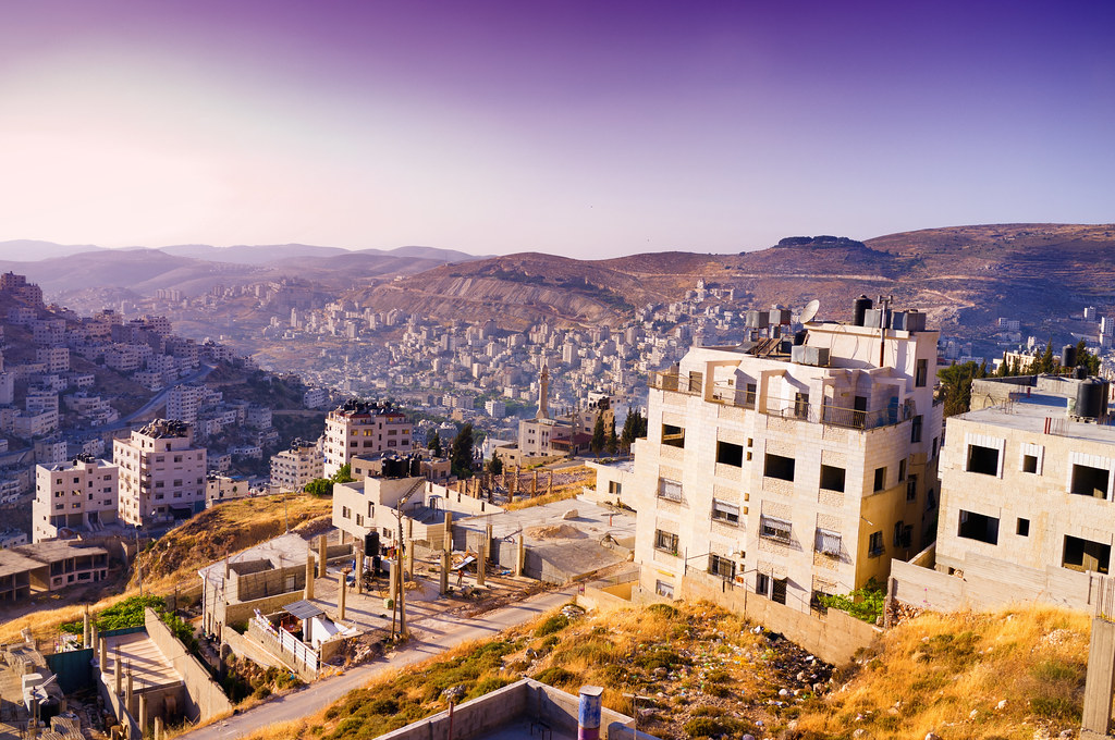
Nablus city

Nablus Kindergarten
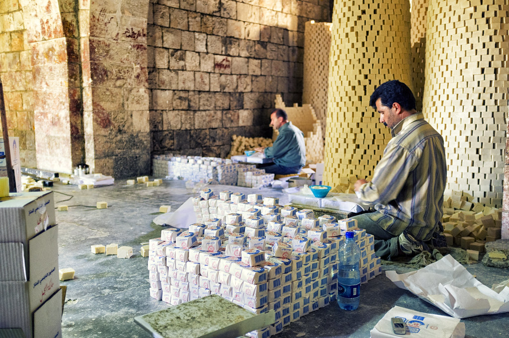
Packing soap
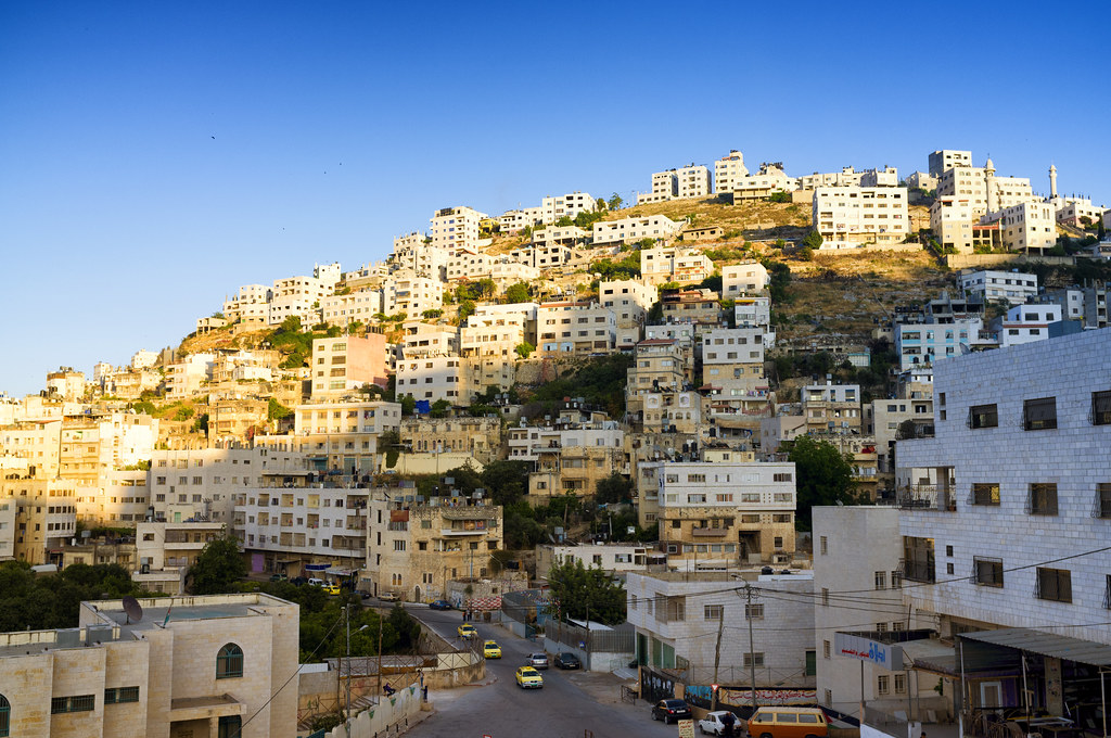
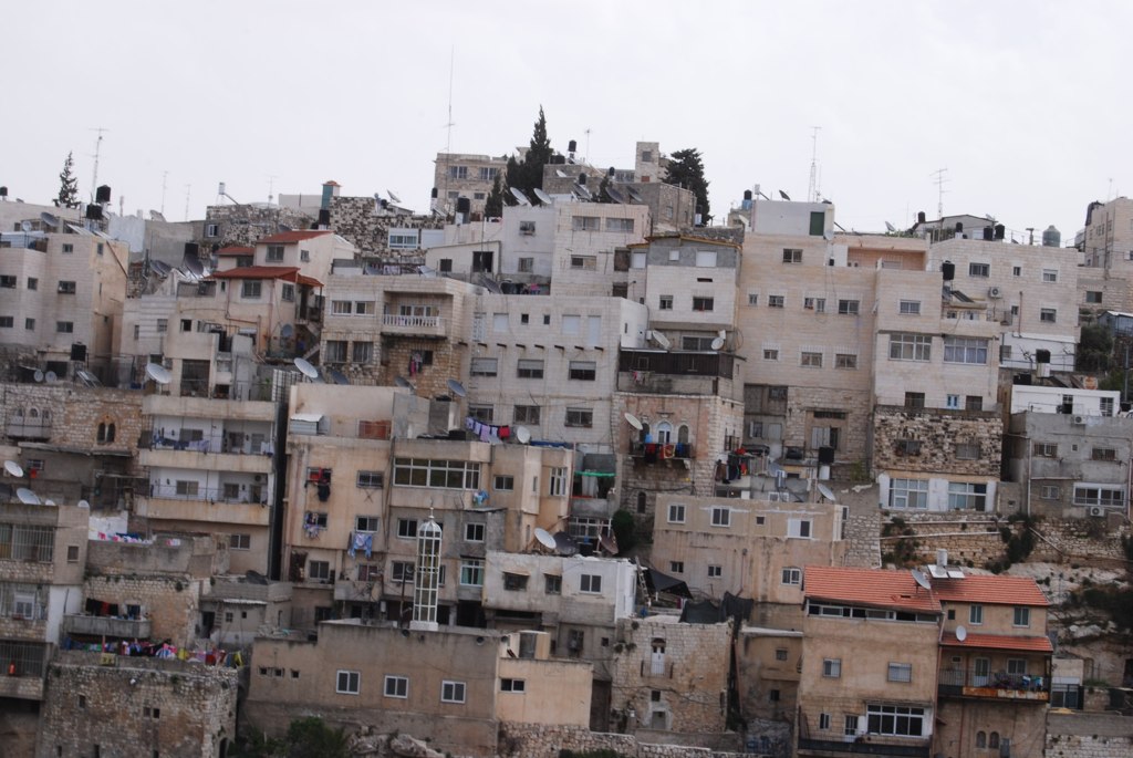
Nablus city
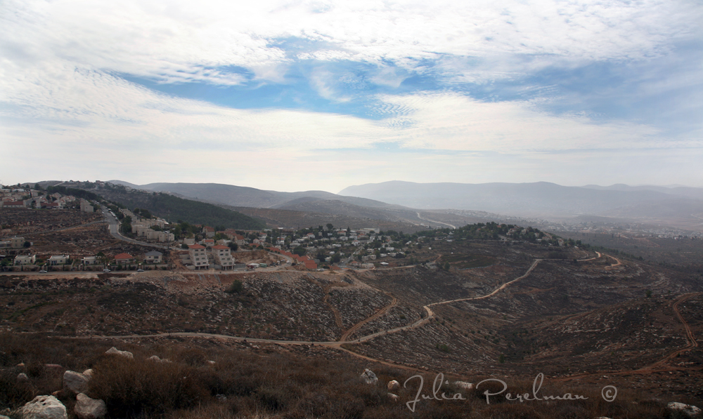
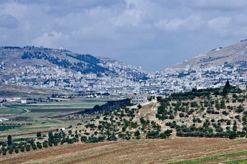
Nablus. Showing slope of Ebal
View from Ir David
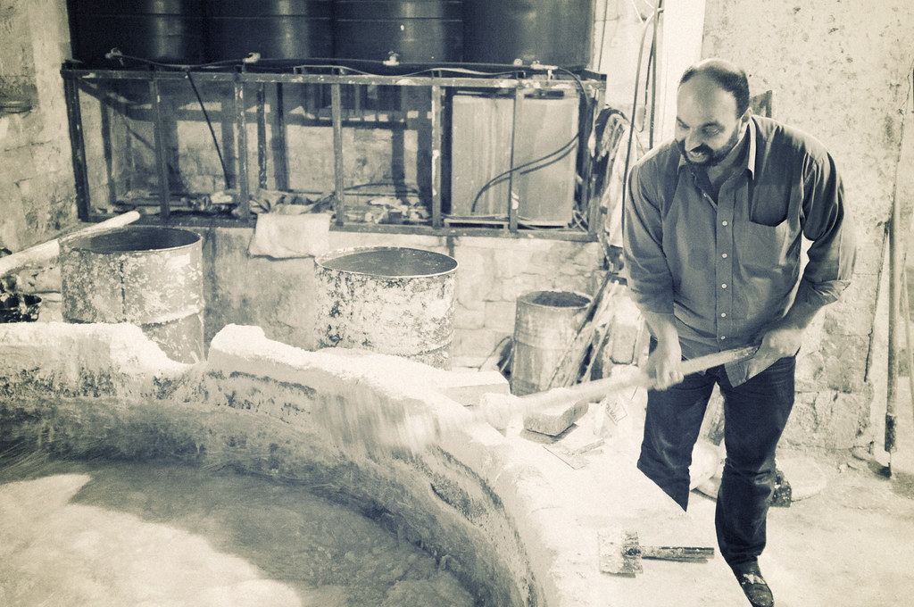
Making soap

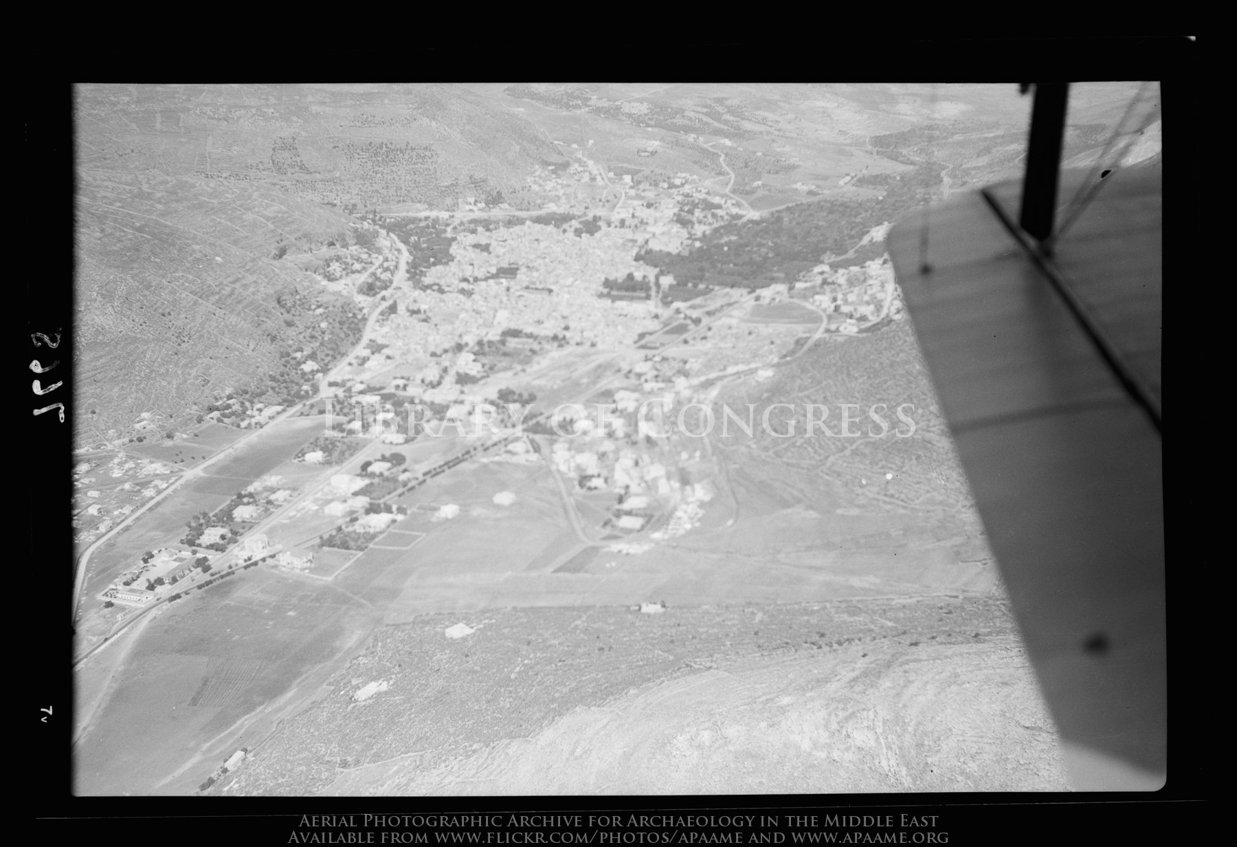
Nablus & Gerizim, looking S.E.

View of Hong Kong, from Nablus

Tourist Information
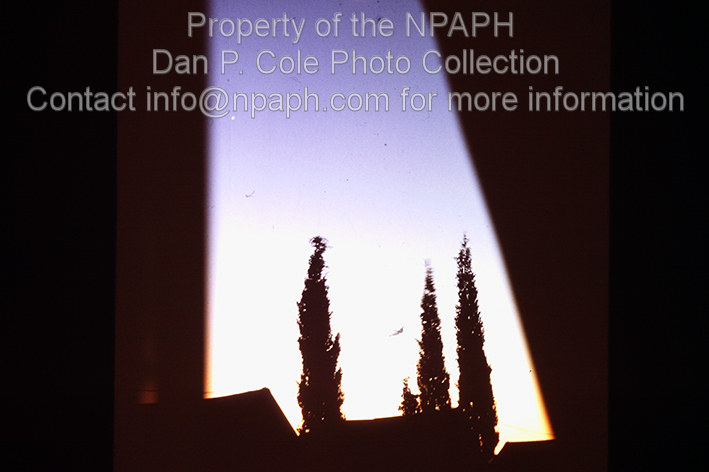
Camp; 4:15 a.m., view form sleeping tent at wake-up time. (1966, ID: cColepShechem044, Source: slide, Repository: NPAPH-project, Creator(s): Dan P. Cole)
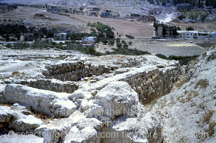
Fld VI; Outside of MB west wall of city; view from west gate (see cColepShechem036). (1962, ID: cColepShechem042, Source: slide, Repository: NPAPH-project, Creator(s): Dan P. Cole)

The boys are back in town
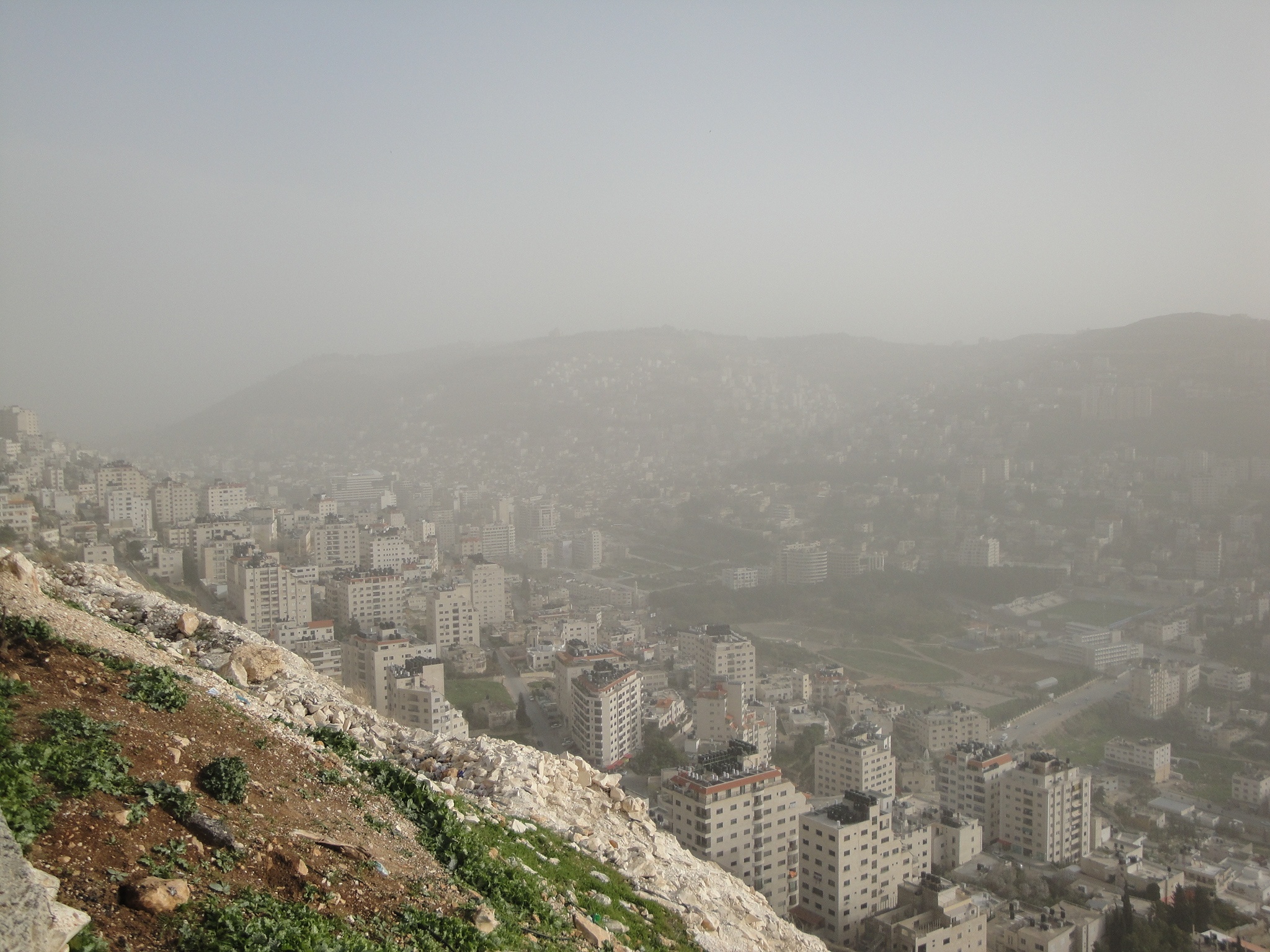
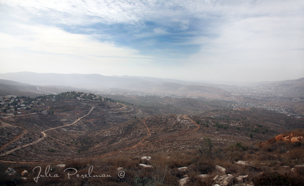
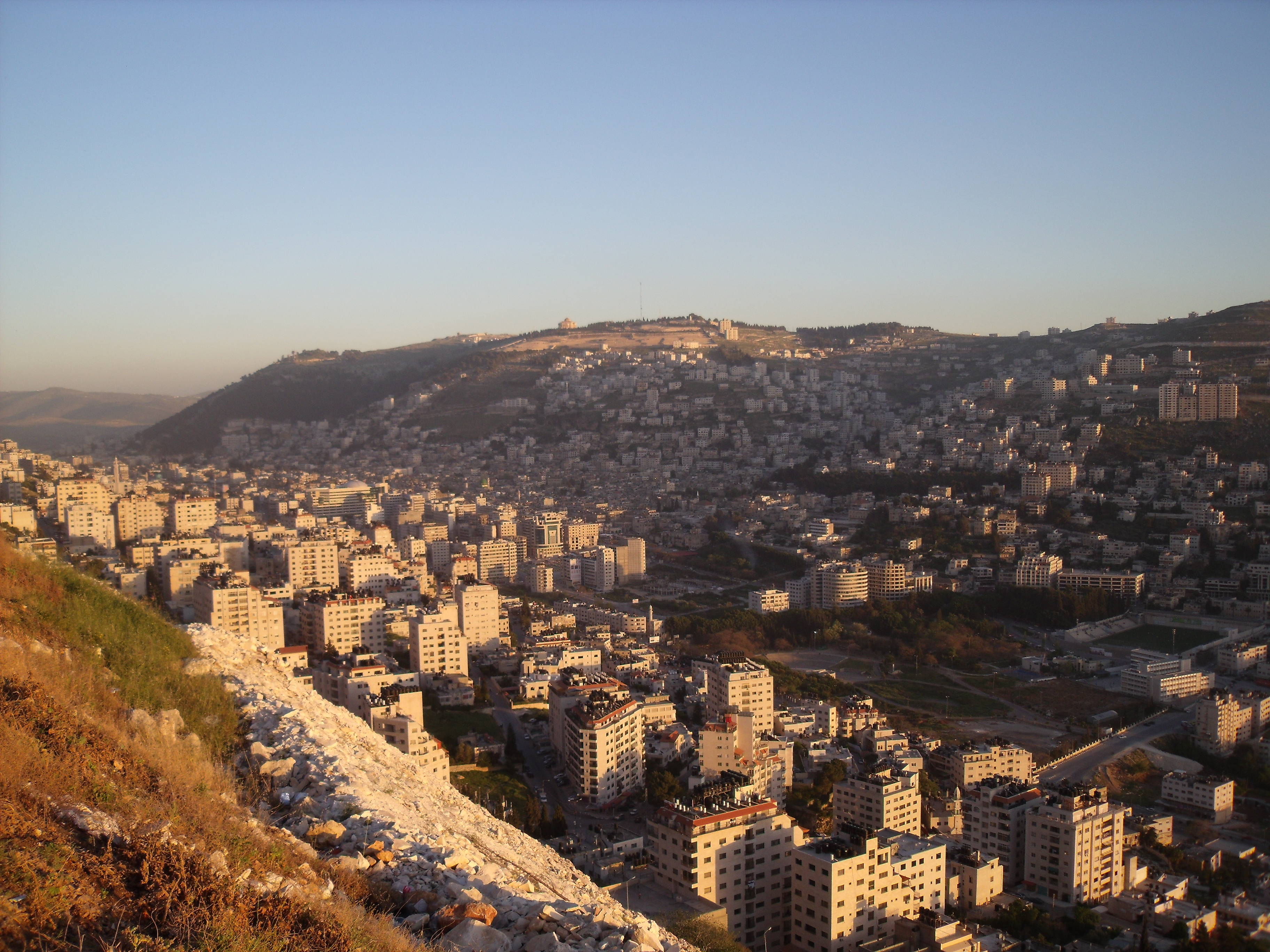
Misty view over Nablus
*
*
Samaritan village, near Nablus
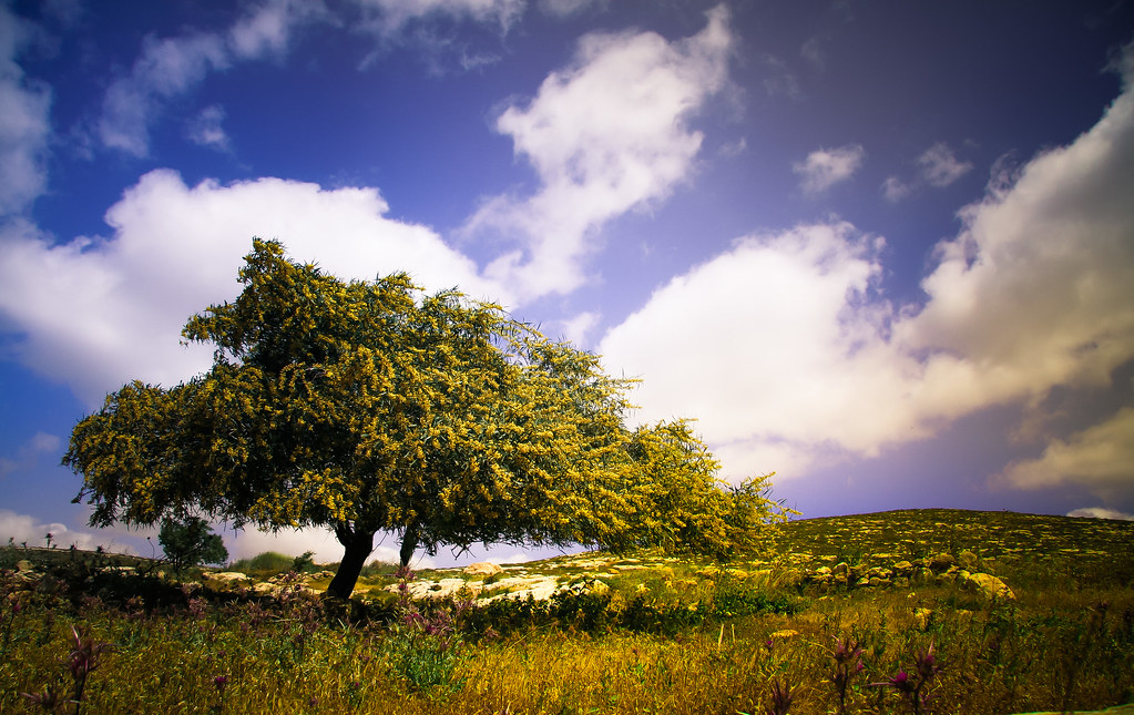
Yellow Tree, Blue Sky.
*
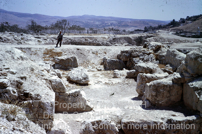
W. Gate; Looking through MB city gate into ancient city. (1962, ID: cColepShechem036, Source: slide, Repository: NPAPH-project, Creator(s): Dan P. Cole)
*

2014-06-12 11-46-09 - DSC05679
2014-06-12 11-48-05 - DSC05682
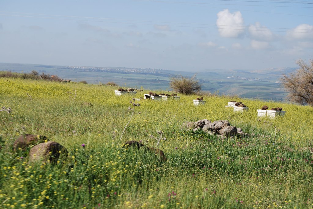
Land of Honey
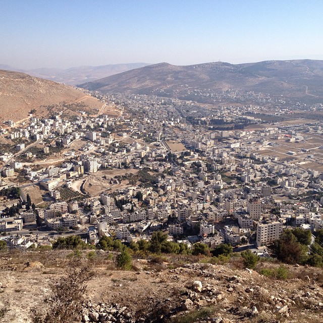
Looking down on ancient Shechem where lies Jacobs Well and Joseph's Tomb.
Nablus sarra

Burin (22)
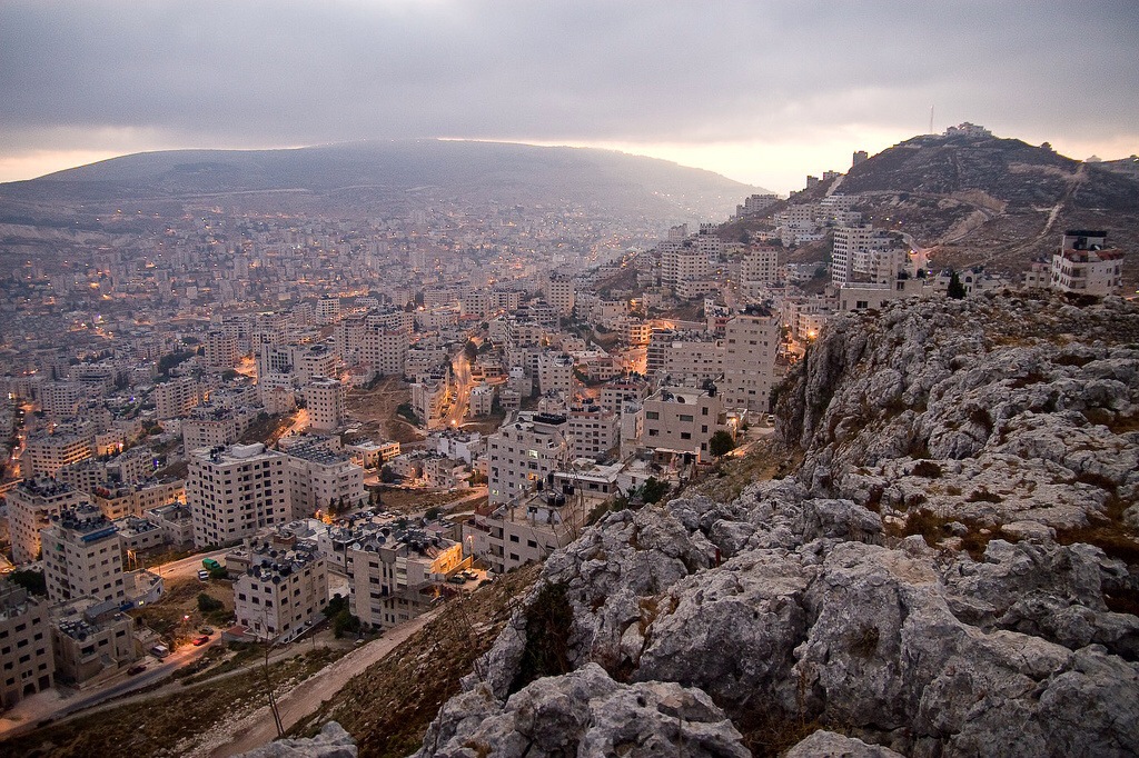
Nablus city
Israel 2011

silt el daher

Nablus, Westbank, Israel
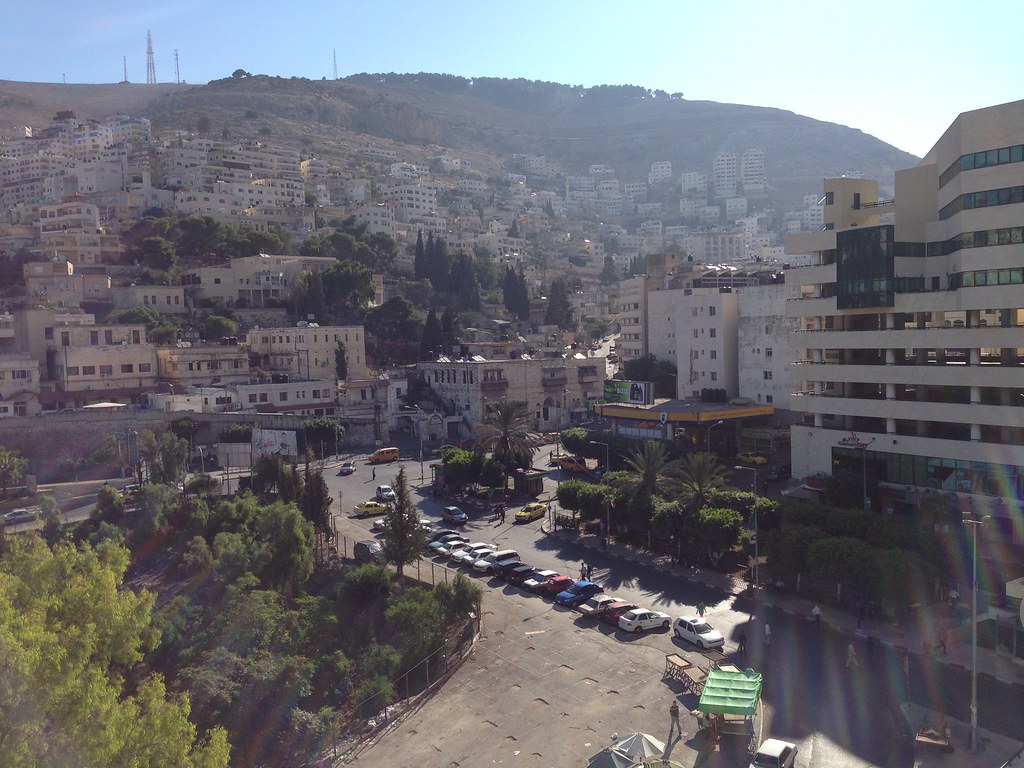
Nablus city

130704 Nablus
Topographic Map of Tell Balata / Biblical Shechem, road
Find elevation by address:

Places near Tell Balata / Biblical Shechem, road:
Balata
Tell Balata
Jabal Jirzim
Har Gerizim
Nablus
Rujeib
Jabal At Tur
Har Brakha
Unnamed Road
Itamar
Elon Moreh
Elon Moreh Yeshiva Office
Yitzhar
Kabir Mountain Reserve
Huwwarah
Kfar Tapuach
Rehelim
Giv'at Shalem
Kdumim
Ariel University
Recent Searches:
- Elevation of Corso Fratelli Cairoli, 35, Macerata MC, Italy
- Elevation of Tallevast Rd, Sarasota, FL, USA
- Elevation of 4th St E, Sonoma, CA, USA
- Elevation of Black Hollow Rd, Pennsdale, PA, USA
- Elevation of Oakland Ave, Williamsport, PA, USA
- Elevation of Pedrógão Grande, Portugal
- Elevation of Klee Dr, Martinsburg, WV, USA
- Elevation of Via Roma, Pieranica CR, Italy
- Elevation of Tavkvetili Mountain, Georgia
- Elevation of Hartfords Bluff Cir, Mt Pleasant, SC, USA