Elevation of Migdalim
Longitude: 35.342633
Latitude: 32.089866
Elevation: 786m / 2579feet
Barometric Pressure: 92KPa
Elevation Map:
Satellite Map:
Related Photos:

Nablus (PS)

Nablus From Gerzim Mountain

Lubban. Showing zig-zag motor road

Gerzim Mountain

Nablus view from Gerzim
His view

Fld VI; Outside of MB west wall of city; view from west gate (see cColepShechem036). (1962, ID: cColepShechem042, Source: slide, Repository: NPAPH-project, Creator(s): Dan P. Cole)

Camp; 4:15 a.m., view form sleeping tent at wake-up time. (1966, ID: cColepShechem044, Source: slide, Repository: NPAPH-project, Creator(s): Dan P. Cole)

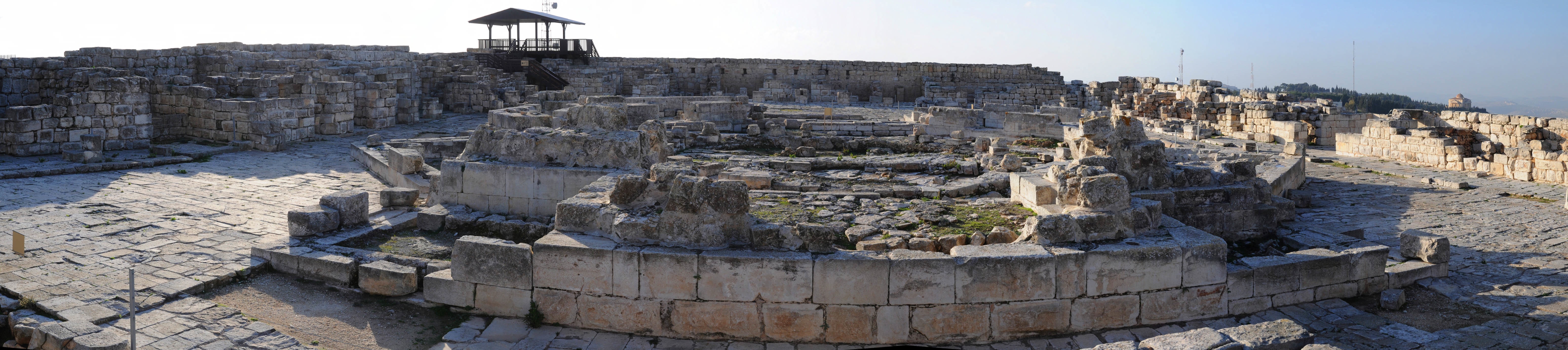
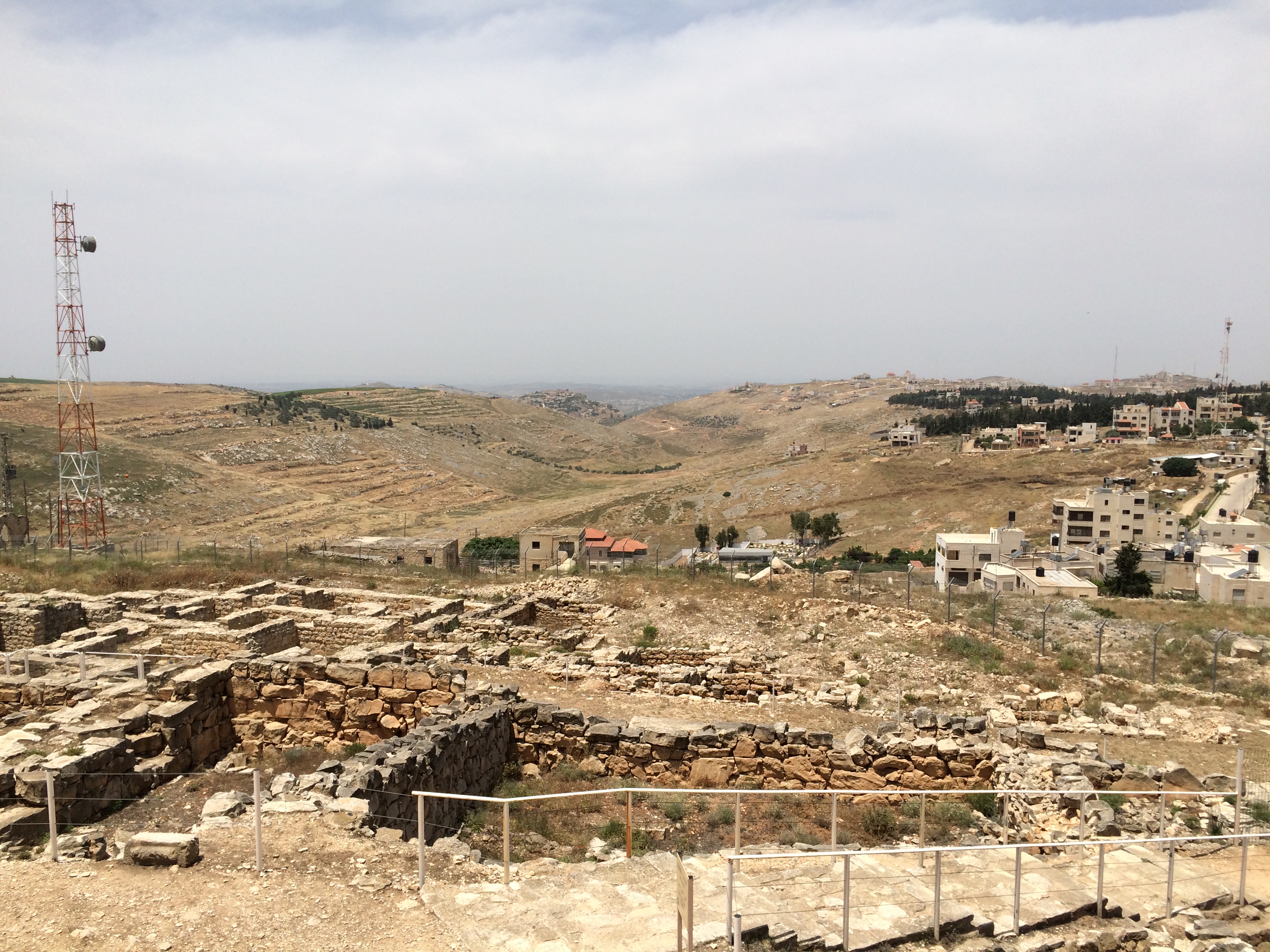
Tell Balata, Nablus

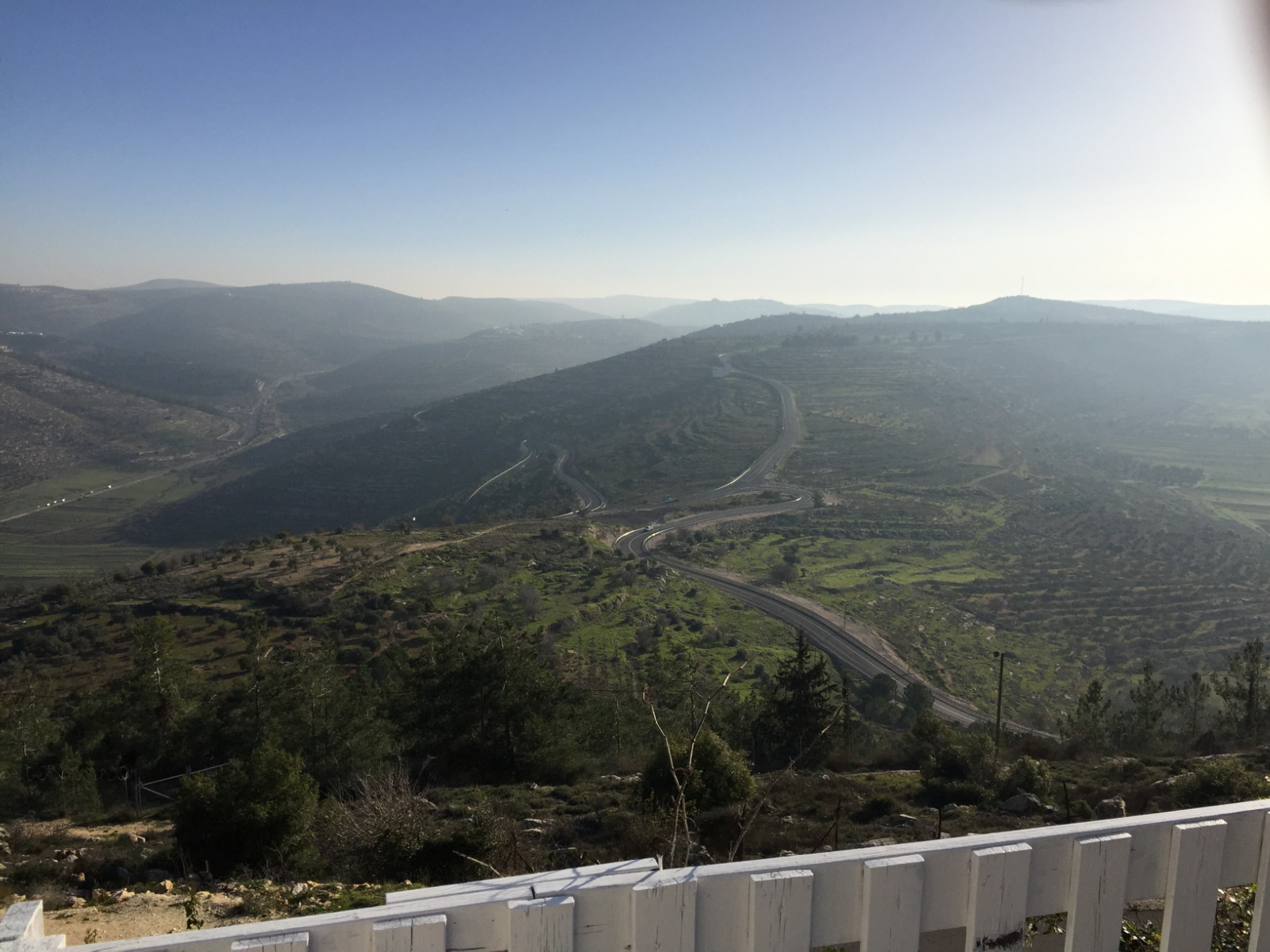
Clouds over Hills

View towards Jordan River Valley

View towards Jordan River Valley

Wady Faraa's eastern end. Where the Nablus valley joins the Jordan

"moses?"

Lonely Tree in Yizhar I ●S95●
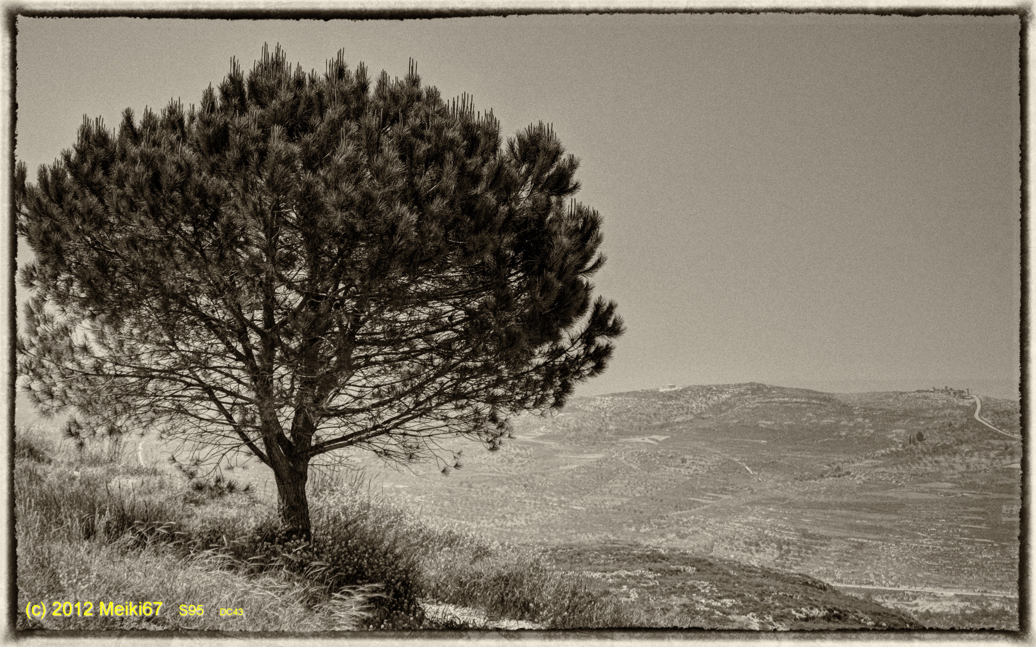
Lonely Tree in Yizhar II ●S95●

Samaritan Mount Gerizim

Ramallah - Nablus Biking round trip 121 km

Samaritan Mount Gerizim

Shechem / Tell Balata Canaanite Ruins

Israel 2011

Samaritan Mount Gerizim
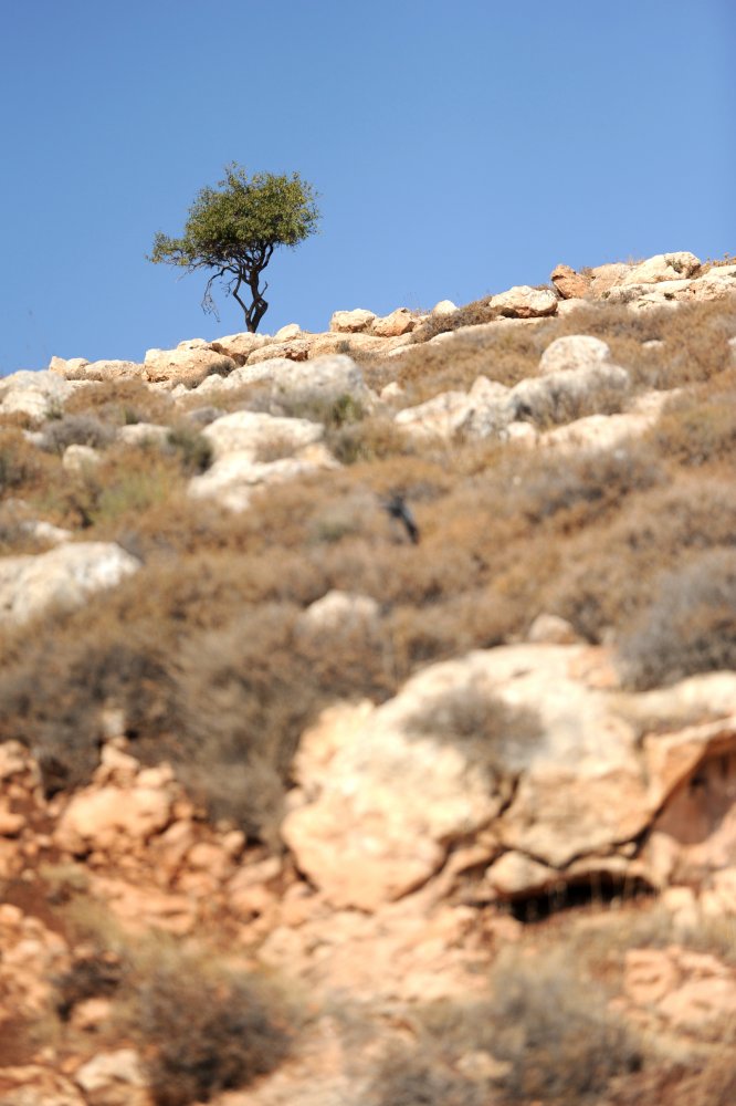
Lonely tree

Israel 2011
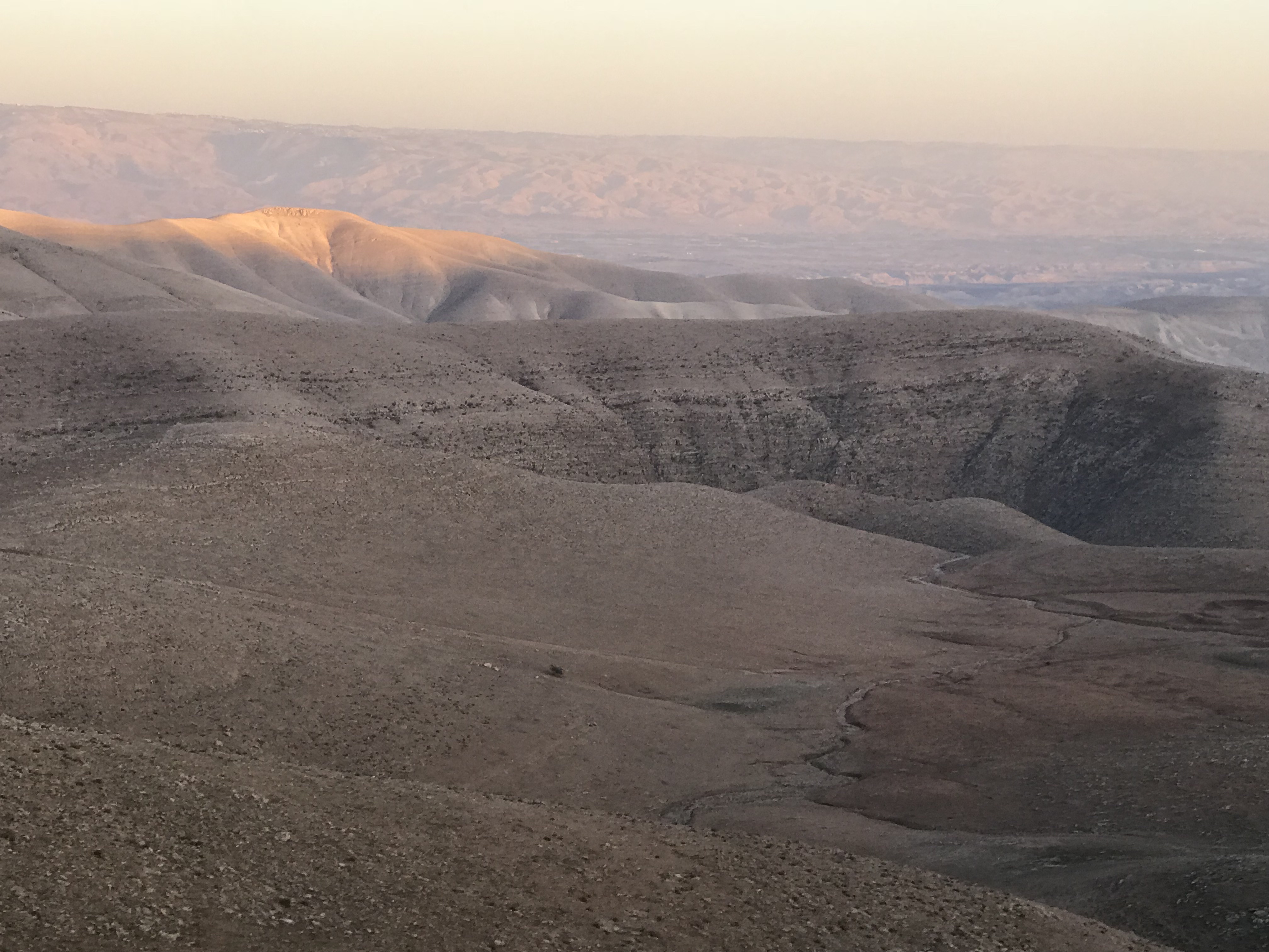
Jordan Valley, northern West Bank
DSC_3061-7

Near Al-Mghayar village

Jordan Valley, northern West Bank
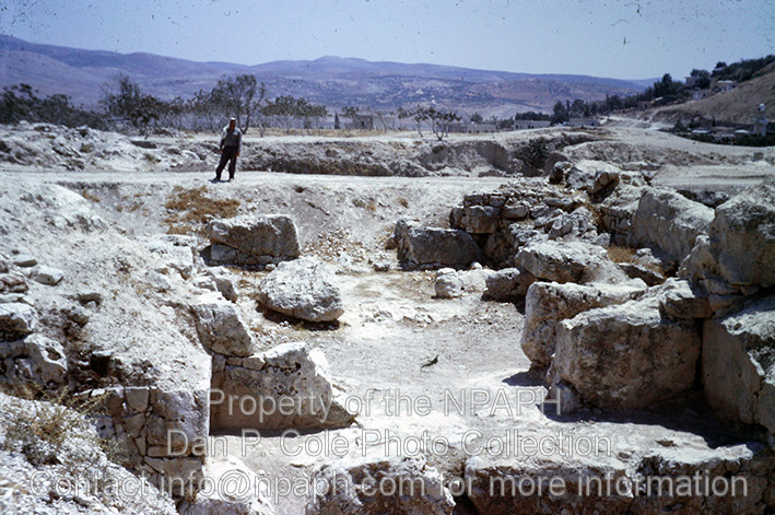
W. Gate; Looking through MB city gate into ancient city. (1962, ID: cColepShechem036, Source: slide, Repository: NPAPH-project, Creator(s): Dan P. Cole)
Mount Gerizim, Shechem

Jordan Valley
Topographic Map of Migdalim
Find elevation by address:

Places near Migdalim:
Shvut Rahel
Shiloh
Ma'ale Efraim
Eli
Eli
Rehelim
Itamar
Kfar Tapuach
Huwwarah
Ma'ale Levona
Rujeib
Har Brakha
Kohav Hashahar
Balata
Jabal At Tur
Jabal Jirzim
Yitzhar
Har Gerizim
Unnamed Road
Ariel University
Recent Searches:
- Elevation of Corso Fratelli Cairoli, 35, Macerata MC, Italy
- Elevation of Tallevast Rd, Sarasota, FL, USA
- Elevation of 4th St E, Sonoma, CA, USA
- Elevation of Black Hollow Rd, Pennsdale, PA, USA
- Elevation of Oakland Ave, Williamsport, PA, USA
- Elevation of Pedrógão Grande, Portugal
- Elevation of Klee Dr, Martinsburg, WV, USA
- Elevation of Via Roma, Pieranica CR, Italy
- Elevation of Tavkvetili Mountain, Georgia
- Elevation of Hartfords Bluff Cir, Mt Pleasant, SC, USA