Elevation of Rue Blue Heron, Grenville-sur-la-Rouge, QC J0V 1B0, Canada

Location: Canada > Québec > Argenteuil Regional County Municipality > Grenville-sur-la-rouge >

Longitude: -74.646902

Latitude: 45.7628852

Elevation: 336m / 1102feet

Barometric Pressure: 97KPa

Elevation Map:

elevation map of Rue Blue Heron, Grenville-sur-la-Rouge, QC J0V 1B0, Canada

Satellite Map:

Satellite map of Rue Blue Heron, Grenville-sur-la-Rouge, QC J0V 1B0, Canada

Related Photos:

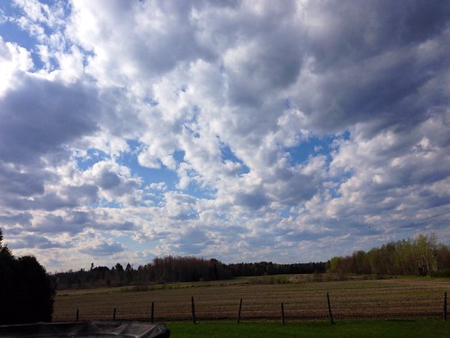
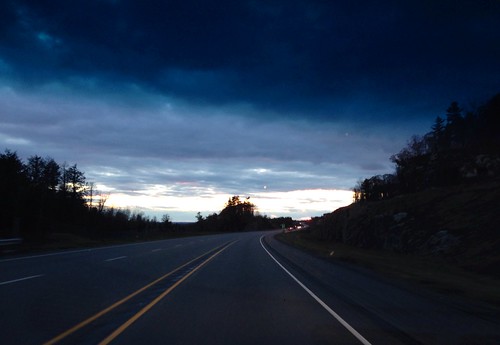
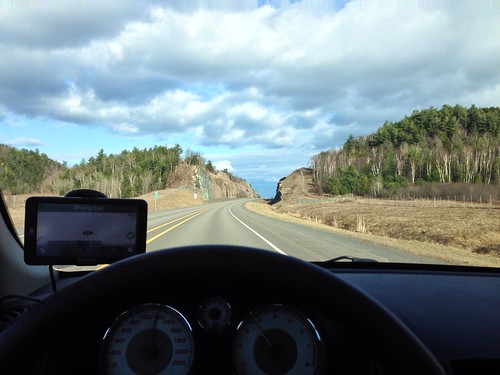
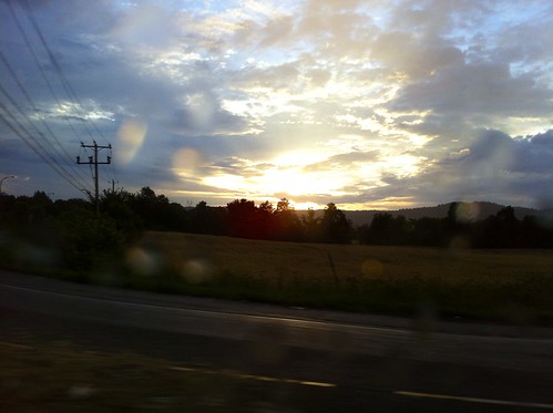
canon t3i rebel slr eos camera photography follow4follow like4like iphone5 macro scenery clouds clearbluesky sky skies chemtrails trails driving road ontheroadagain jet jets exploring earthporn cloudscapes landscapes city ottawa gatineau ontario cloudporn majestic beautiful redskyatnightsailorsdelight redskyinthemorningsailorswarning cottoncandy sunset sun setting sunrise dusk dawn summer hot heat nature mothernature storm stormy thunderstorm windy imagination airplane upupandaway intheclouds birdseyeview view views mountains britishcolumbia snow white canada snapspjw patrickjwhitfield patrick pjw snapshots
Clouds, Skies, Sunsets.
bear canada quebec safari gps geotag montebello sonygpscs3ka
Bears -01 Joe
bear canada quebec safari gps geotag montebello sonygpscs3ka
Bears -05 Joe
bear canada quebec safari gps geotag montebello sonygpscs3ka
Bears -02 Joe
rubiconrouge jeep trail macro canon girl beach accident plane montreal cave grotte caverne mud police mattis mouldapine ppff5f unesociétéyahoo
_MG_6997 copie
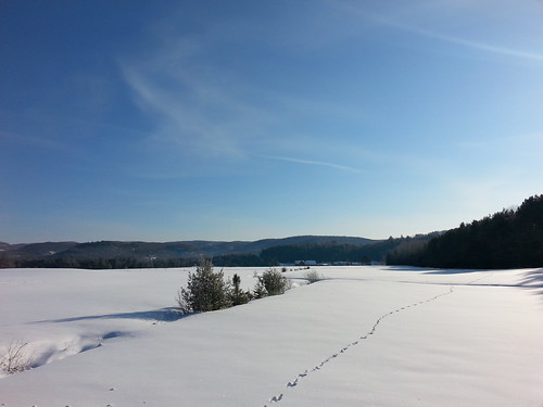
Field near Rivington, Québec
rubiconrouge jeep trail macro canon girl beach accident plane montreal cave grotte caverne mud police mattis mouldapine ppff5f unesociétéyahoo
_MG_6999 copie
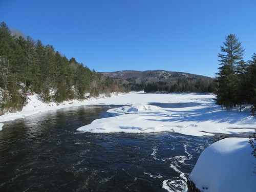
canada river rivière québec ottawariver argenteuil laurentides grenville rivièredesoutaouais
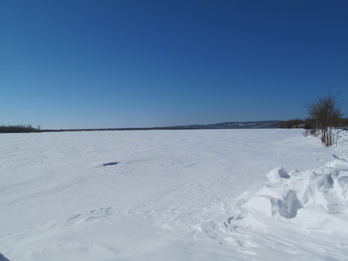
Frozen Ottawa River
nature landscape country québec paysage reflexion couleur harrington
Harrington, 25 sept. 2011. Emerald lake.
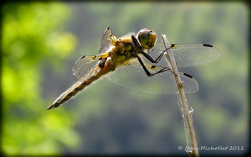
Libéllule
bridge rouge rivière pont avoca rivièrerouge grenvillesurlarouge flickrandroidapp:filter=none
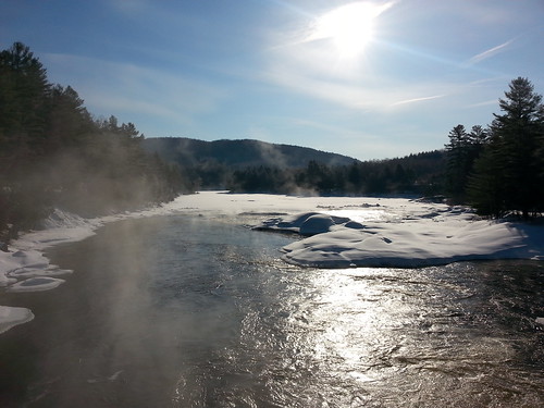
Grenville-sur-la-rouge, Québec
tree temple one princess quebec buddhist 4 son places social holy monastery dai québec wisdom spiritual races enlightenment monuments suffering tong sermon tam lam canton nations practices township monastère bao ascetic mankind laurentides pradesh harrington laurentian uttar caste promote groupings gautama gotama bouddhiste bouddhas siddhattha māyā suddhodana sākyas yasodharā rāhula bodhiorbotree kusinārā lifeenlightened “phat giao”
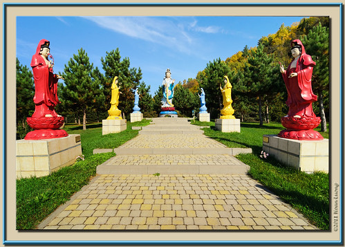
Women saint statues
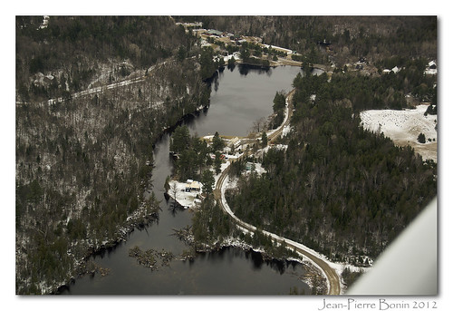
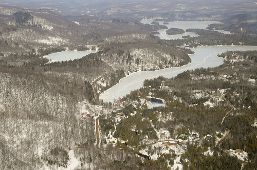
photography photographie air aerial aérienne
Lost River (Harrington), Qc DSC_5715 copie
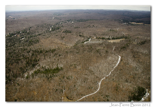
photography photographie air aerial aérienne
Est de Pine Hill, Qc DSC_5733 copie
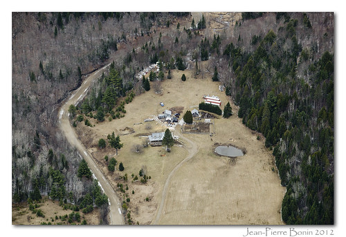
photography photographie air aerial aérienne
Ferme chemin Bigras, région de Harrington, Qc DSC_5837 copie
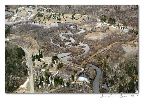
de photography photographie air du aerial route wentworth chemin principale saintmichel aérienne laclouisa wentworthnord
Rivière-de-l'Ouest, Wentworth-Nord (Saint-Michel), Qc DSC_5705 copie
rouge rivière québec outaouais grenvillesurlarouge flickrandroidapp:filter=none
Grenville-sur-la-Rouge, Québec
québec harrington flickrandroidapp:filter=none
Harrington, Québec
lake st photography photo photographie aviation air lac du aerial québec pont rue laurel qc 23rd 22nd chisholm aérienne montpetit 23e 22e laurentiansacres lafantaisie desseizeîles
Laurentians Acres, Laurel, Qc DSC_8504m
québec avoca flickrandroidapp:filter=none
Avoca, Québec
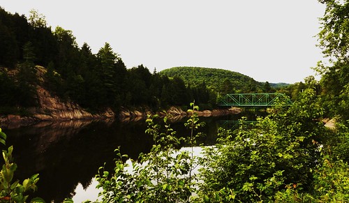
bridge landscape country québec pont paysage harrington rivièrerouge
Harrington, 12 août 2011. La rivière Rouge.