Elevation of 18 Chemin Mountain, Grenville-sur-la-Rouge, QC J0V 1B0, Canada
Location: Canada > Québec > Argenteuil Regional County Municipality > Grenville-sur-la-rouge >
Longitude: -74.642559
Latitude: 45.7724262
Elevation: 371m / 1217feet
Barometric Pressure: 97KPa
Elevation Map:
Satellite Map:
Related Photos:
Clouds, Skies, Sunsets.
Clouds, Skies, Sunsets.

Clouds, Skies, Sunsets.
Bears -05 Joe
Bears -02 Joe
Bears -01 Joe

_MG_6997 copie
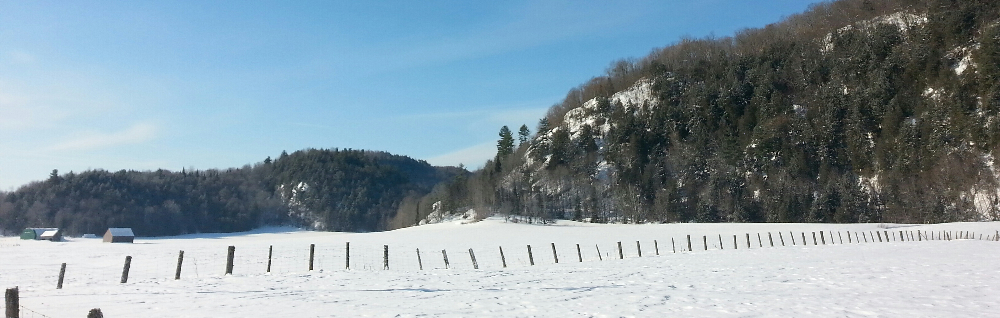
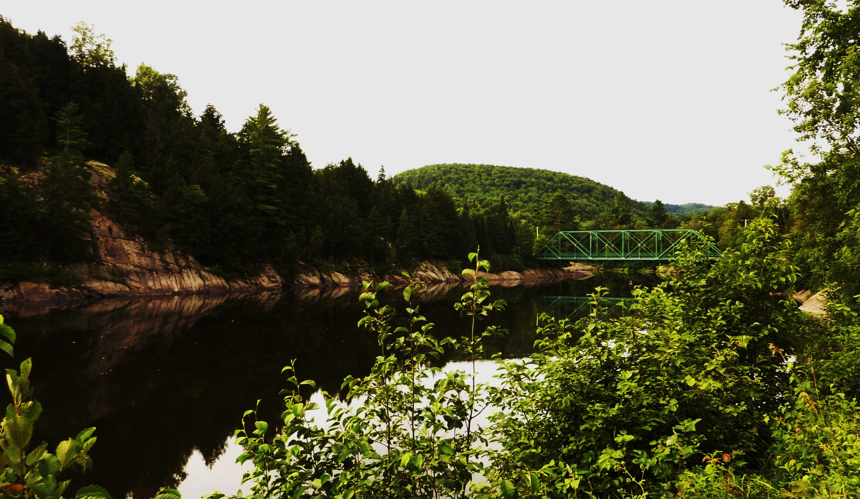
Field near Rivington, Québec

_MG_6999 copie
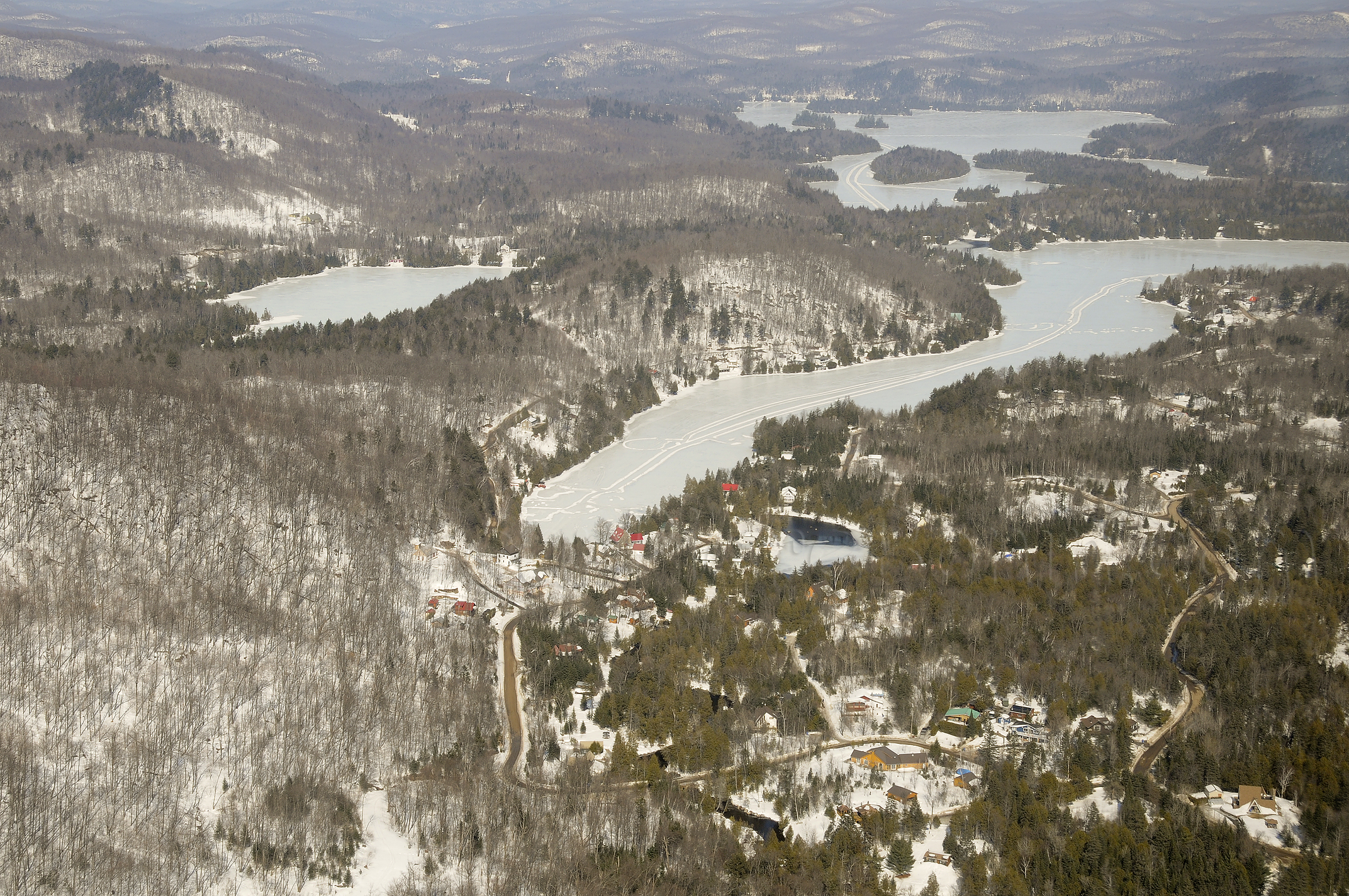
Harrington, 25 sept. 2011. Emerald lake.
Libéllule
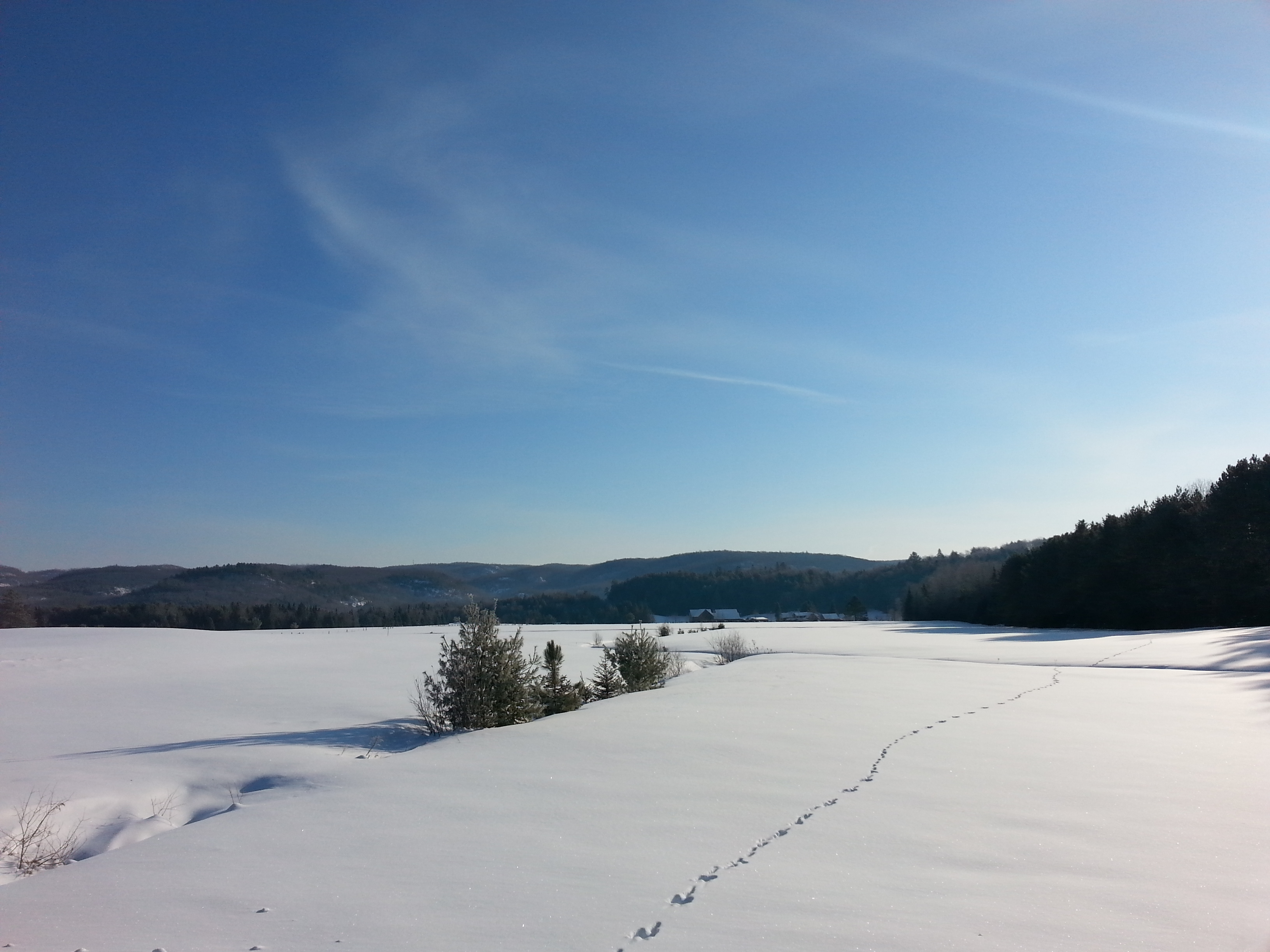
Grenville-sur-la-rouge, Québec
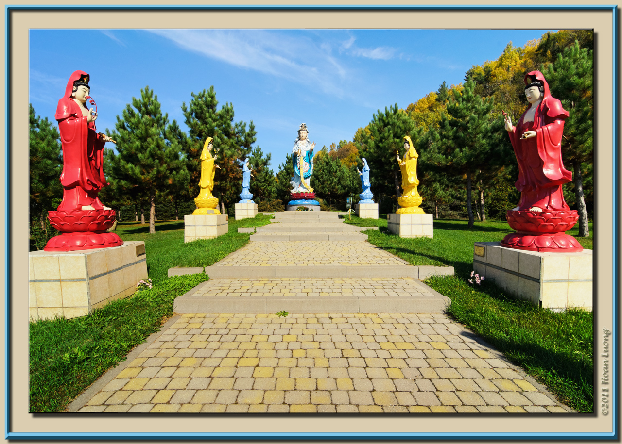
Women saint statues
Lost River (Harrington), Qc DSC_5715 copie
Est de Pine Hill, Qc DSC_5733 copie
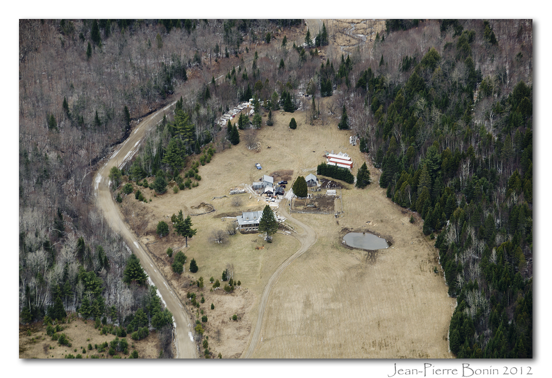
Ferme chemin Bigras, région de Harrington, Qc DSC_5837 copie
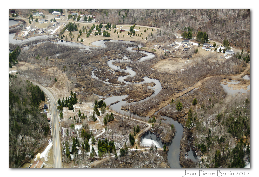
Rivière-de-l'Ouest, Wentworth-Nord (Saint-Michel), Qc DSC_5705 copie

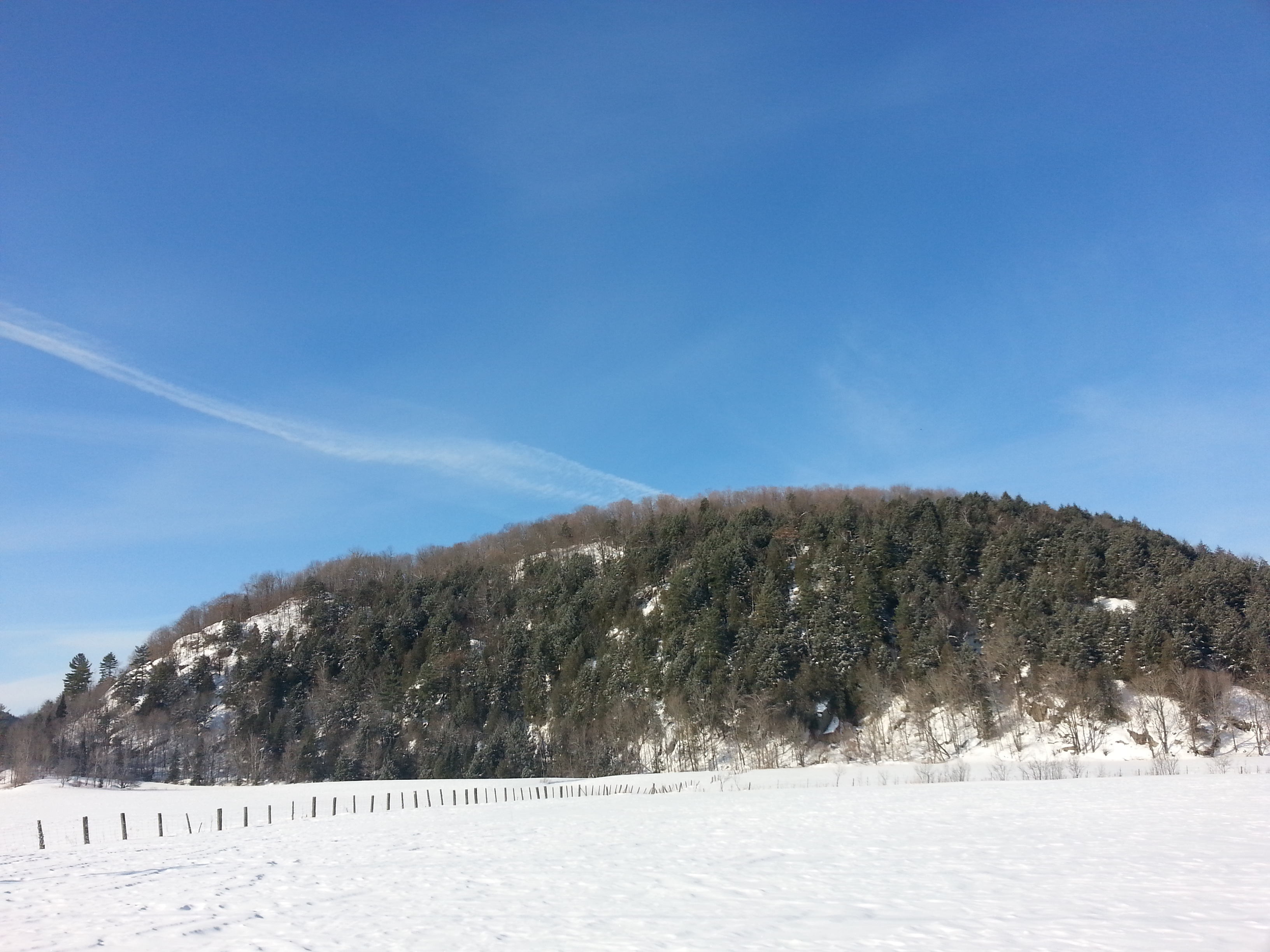
Grenville-sur-la-Rouge, Québec
Harrington, Québec
Laurentians Acres, Laurel, Qc DSC_8504m
Avoca, Québec
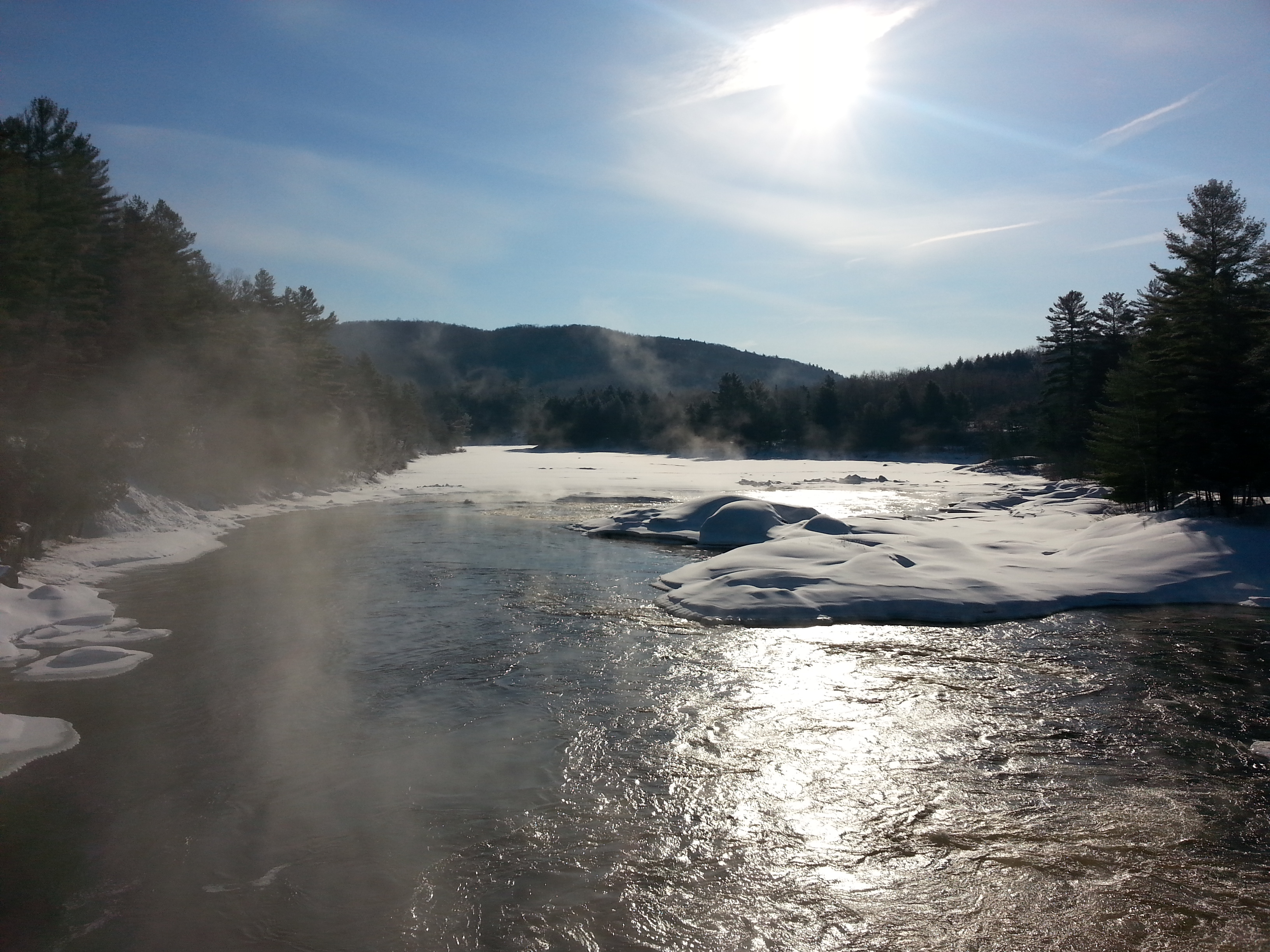
Harrington, 12 août 2011. La rivière Rouge.
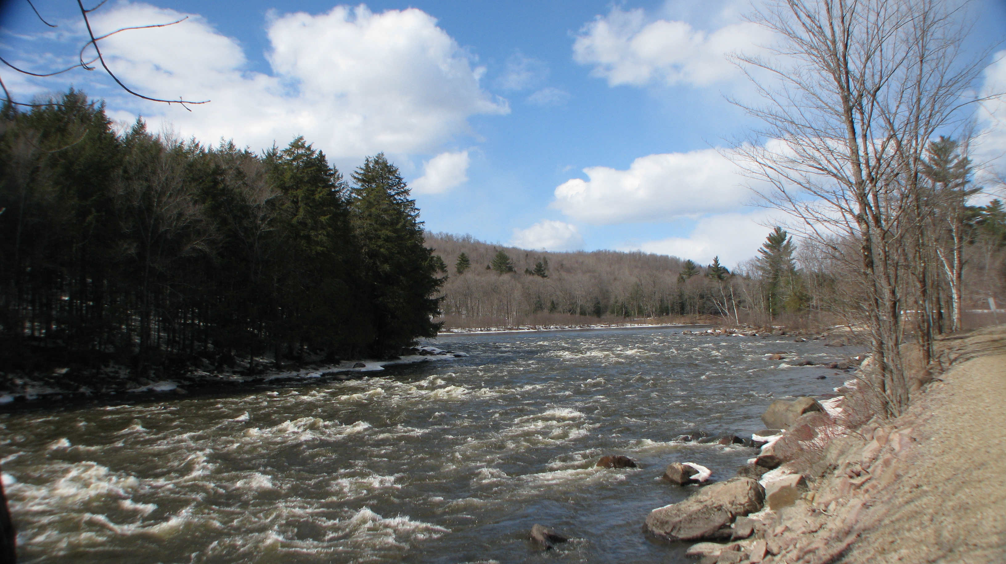
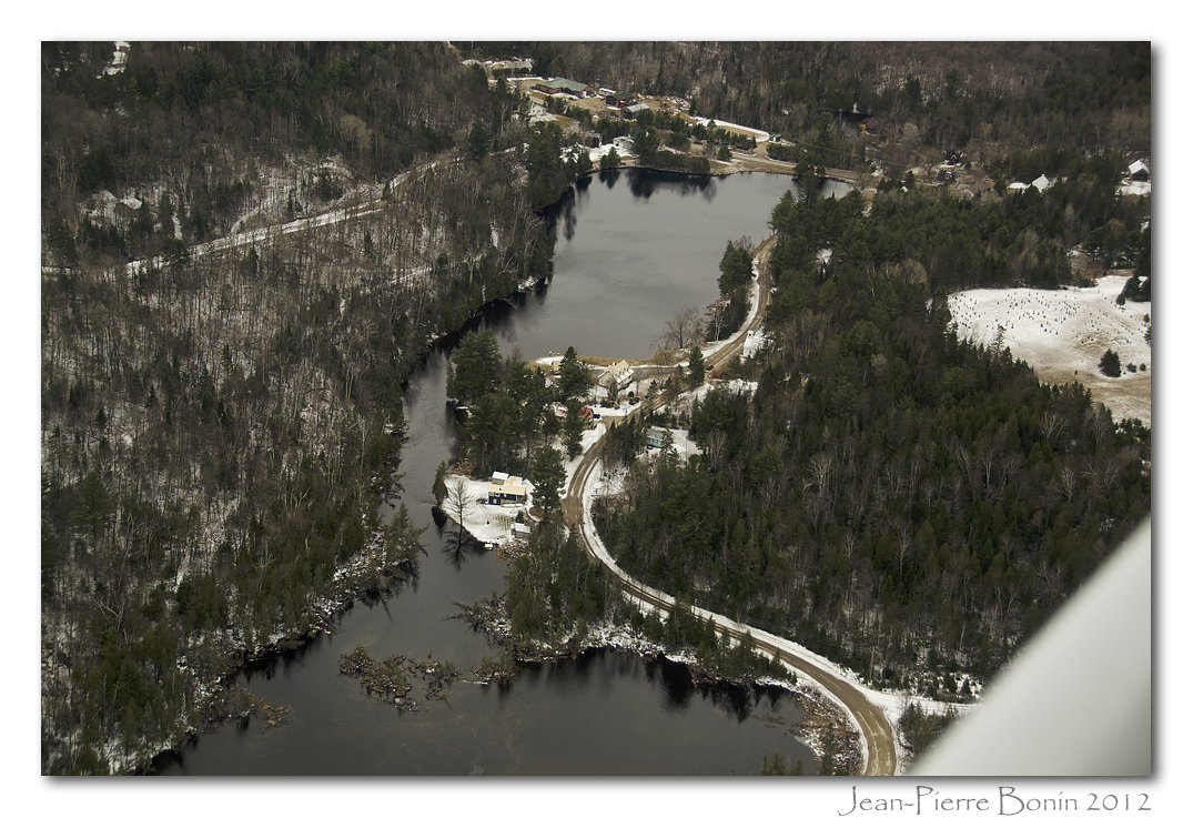
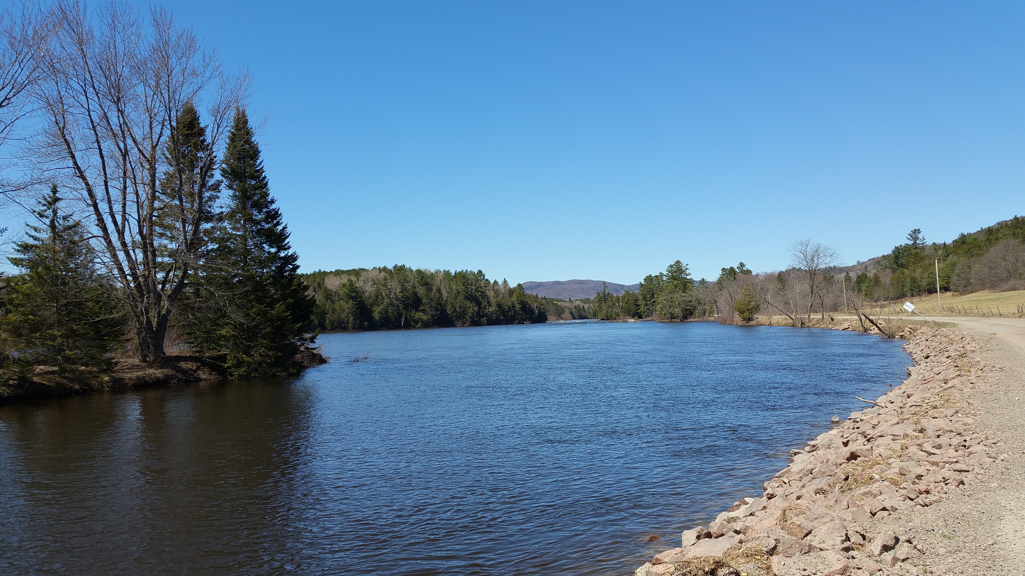
Rivière Rouge, Grenville, Québec
Harrington, Québec

Avoca, Québec
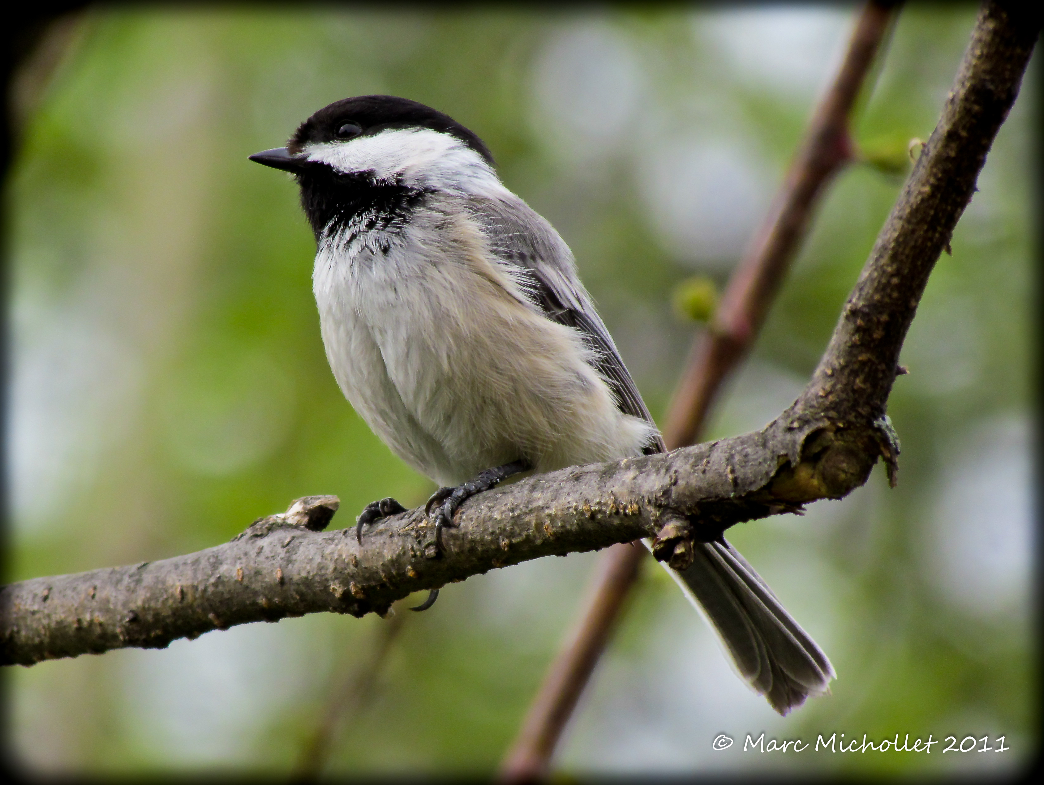
Mésange
Grenville-sur-la-rouge, Québec
Topographic Map of 18 Chemin Mountain, Grenville-sur-la-Rouge, QC J0V 1B0, Canada
Find elevation by address:

Places near 18 Chemin Mountain, Grenville-sur-la-Rouge, QC J0V 1B0, Canada:
Rue Blue Heron
Harrington
167 Chemin De La Rivière Rouge
167 Chemin De La Rivière Rouge
167 Chemin De La Rivière Rouge
344 Chemin Scotch
Chemin De La Rivière-rouge
Chemin De La Rivière-rouge
Harrington
167 Chemin De La Rivière Maskinongé
Lac-macdonald
18 4e Avenue
18 4e Avenue
18 4e Avenue
Grenville-sur-la-rouge
18 Chemin Des Buffalos
18 Chemin Des Buffalos
732 Chemin De La Rivière Rouge
18 Rue Du Canal S
Chemin Burns
Recent Searches:
- Elevation of Corso Fratelli Cairoli, 35, Macerata MC, Italy
- Elevation of Tallevast Rd, Sarasota, FL, USA
- Elevation of 4th St E, Sonoma, CA, USA
- Elevation of Black Hollow Rd, Pennsdale, PA, USA
- Elevation of Oakland Ave, Williamsport, PA, USA
- Elevation of Pedrógão Grande, Portugal
- Elevation of Klee Dr, Martinsburg, WV, USA
- Elevation of Via Roma, Pieranica CR, Italy
- Elevation of Tavkvetili Mountain, Georgia
- Elevation of Hartfords Bluff Cir, Mt Pleasant, SC, USA