Elevation of Chemin Scotch, Grenville-sur-la-Rouge, QC J0V 1B0, Canada
Location: Canada > Québec > Argenteuil Regional County Municipality > Grenville-sur-la-rouge >
Longitude: -74.596555
Latitude: 45.7615727
Elevation: 245m / 804feet
Barometric Pressure: 98KPa
Elevation Map:
Satellite Map:
Related Photos:
Clouds, Skies, Sunsets.
Clouds, Skies, Sunsets.
Clouds, Skies, Sunsets.

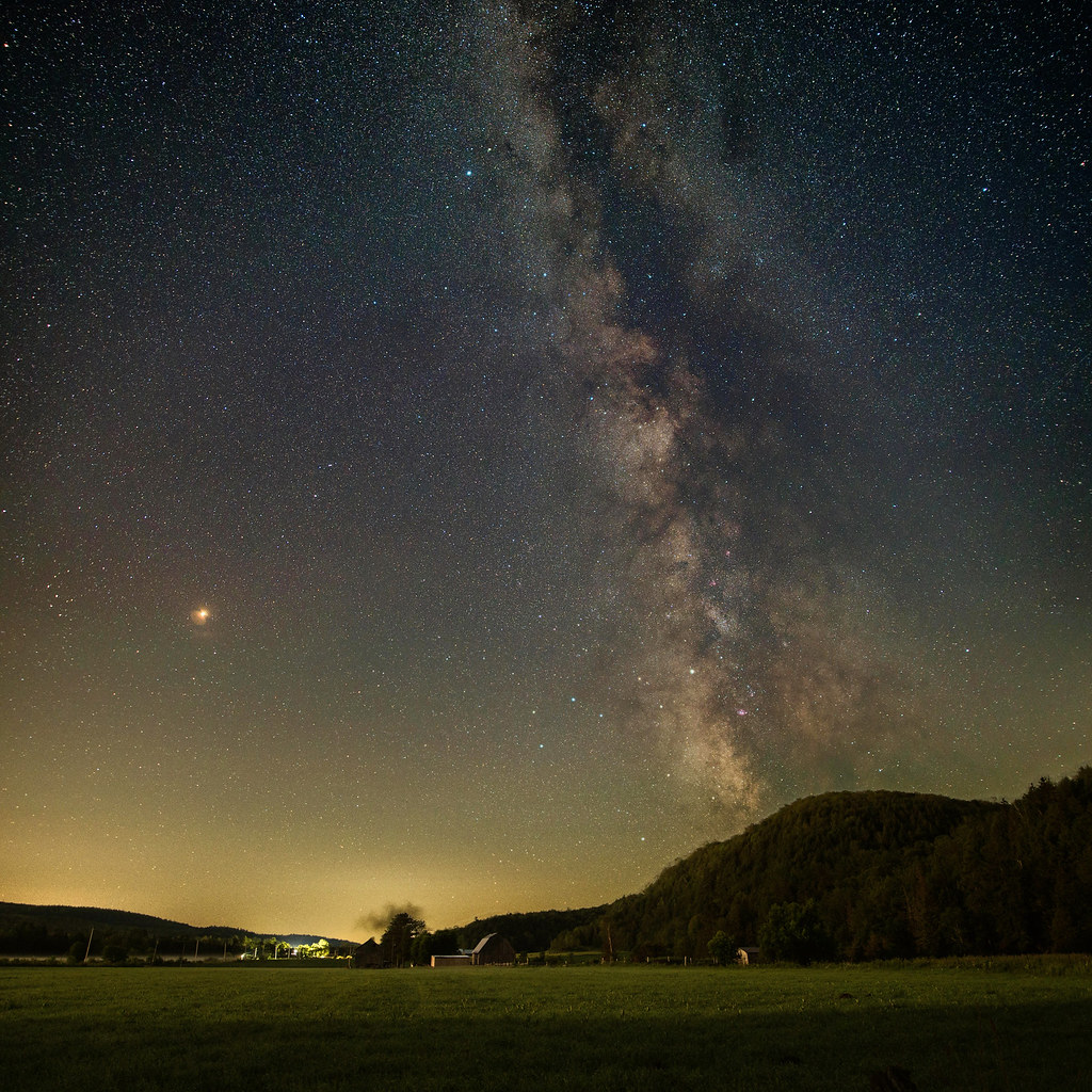
Milky Way and Mars over Rouge river
Harrington Oct 8th, 2018
Harrington Oct 8th, 2018
F-DSC_0055

Environs de Grenville, 06 oct. 2016. Paysage le long de la route 148 Ouest.
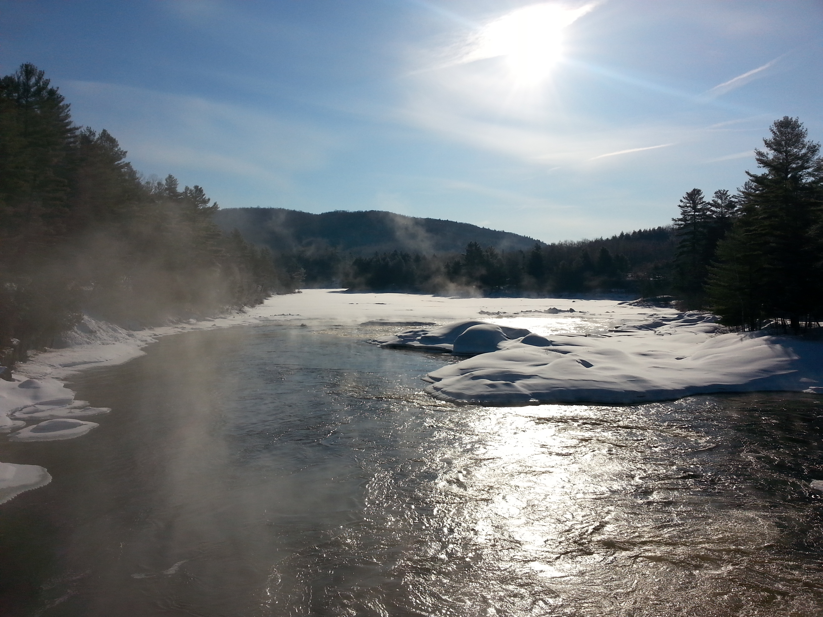
Riviere Rouge
Field near Rivington, Québec
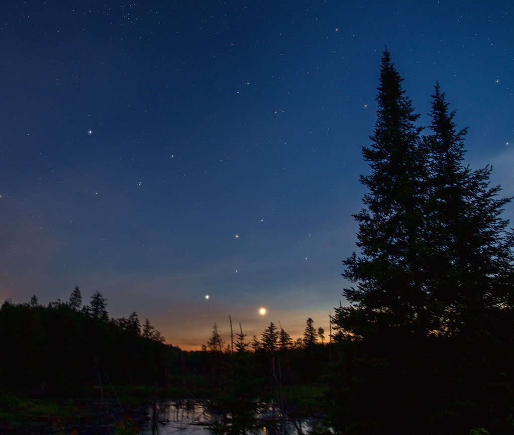
Mars and Milky Way

50 East
Venus and Leo
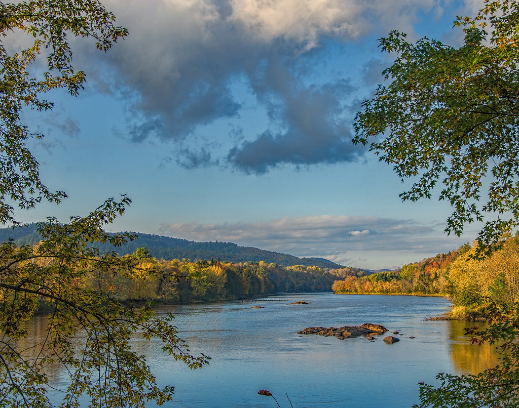
Rivière Rouge, Laurentides QC

Chalet Lac a la truite 2014 (18)
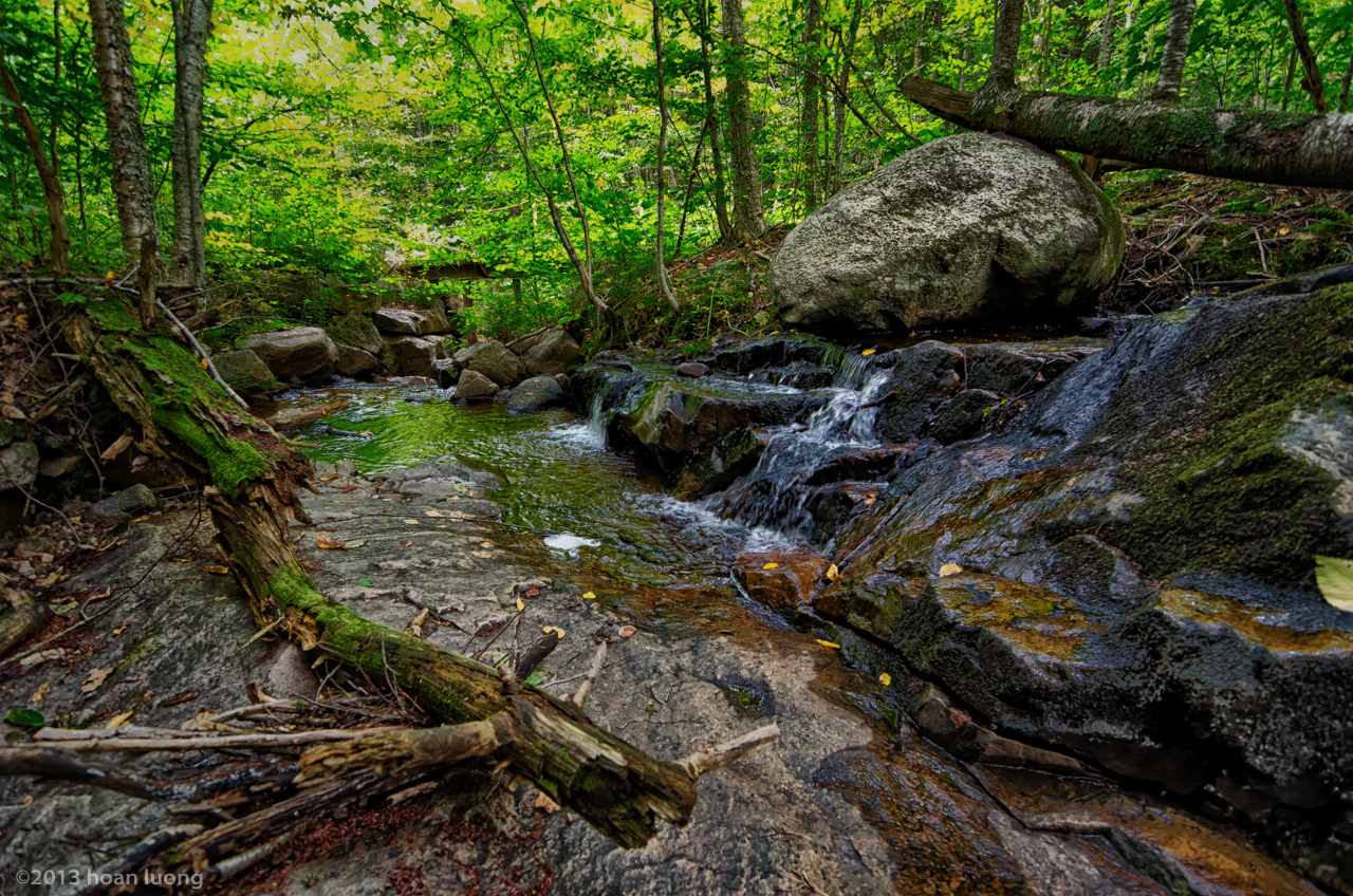
Follow down the water
Harrington Oct 8th, 2018
Endless movement
Harrington, 25 sept. 2011. Emerald lake.
elhal-1427.jpg
Grenville-sur-la-rouge, Québec
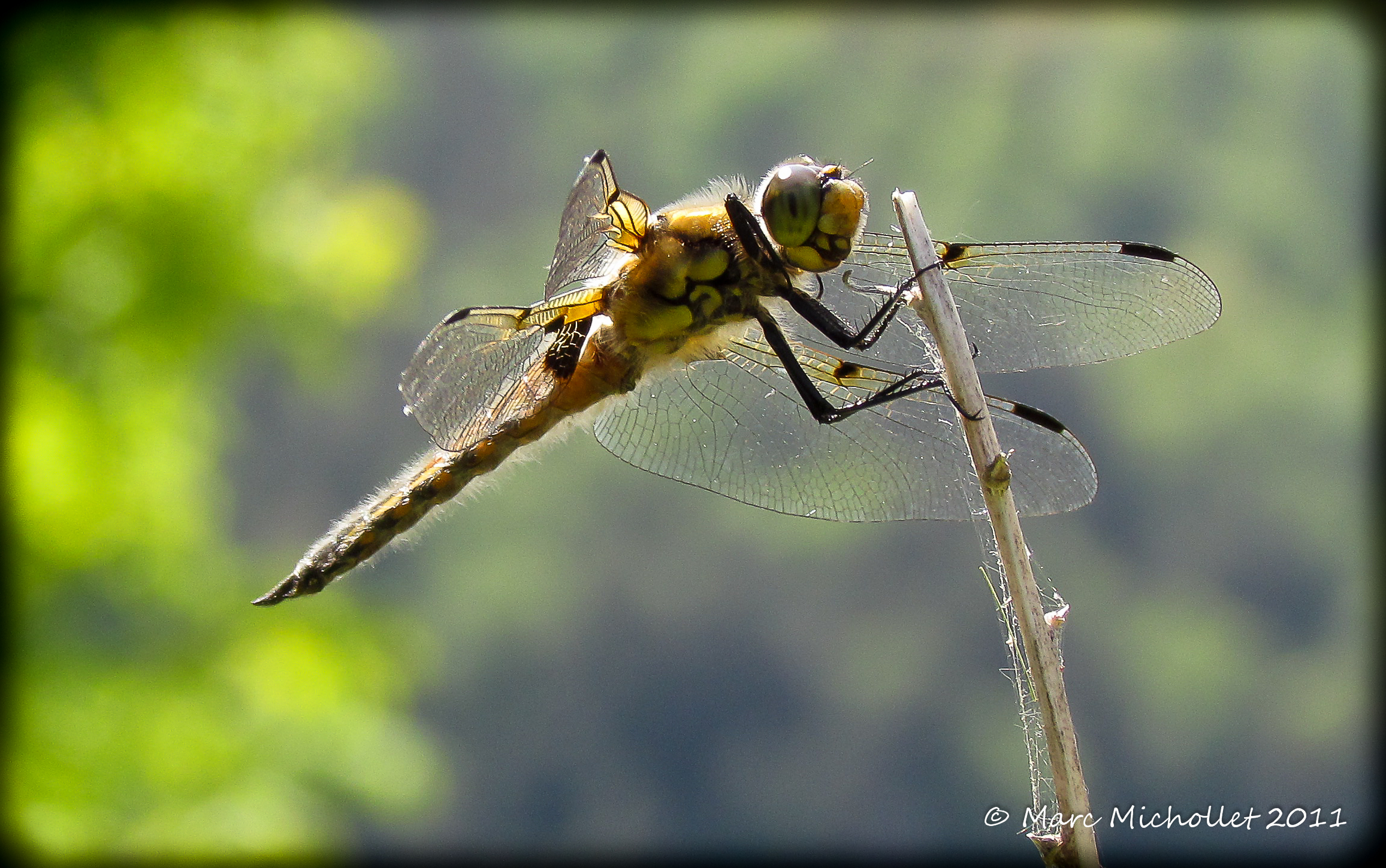
Libéllule
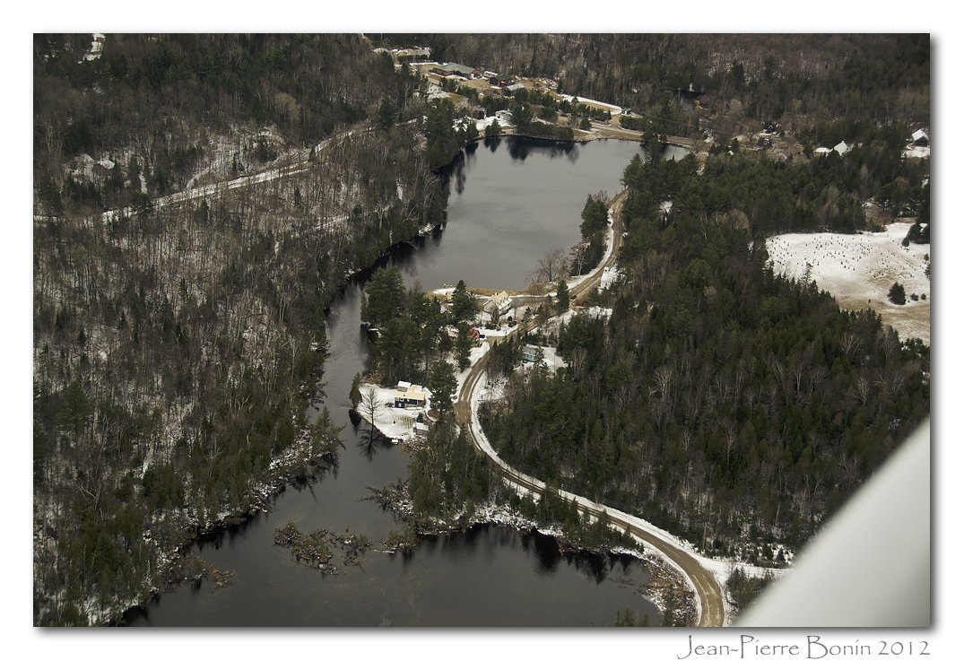
Lost River (Harrington), Qc DSC_5715 copie
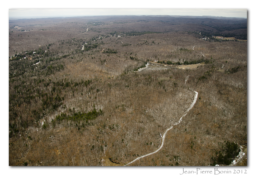
Est de Pine Hill, Qc DSC_5733 copie
Topographic Map of Chemin Scotch, Grenville-sur-la-Rouge, QC J0V 1B0, Canada
Find elevation by address:

Places near Chemin Scotch, Grenville-sur-la-Rouge, QC J0V 1B0, Canada:
18 Chemin Mountain
Rue Blue Heron
Harrington
167 Chemin De La Rivière Rouge
167 Chemin De La Rivière Rouge
167 Chemin De La Rivière Rouge
Harrington
Chemin De La Rivière-rouge
Chemin De La Rivière-rouge
18 4e Avenue
18 4e Avenue
18 4e Avenue
Lac-macdonald
167 Chemin De La Rivière Maskinongé
Grenville
5 Rue Duvernay
18 Rue Du Canal S
Rue Principale, Grenville, QC J0V 1J0, Canada
Chemin Burns
K6a 2p1
Recent Searches:
- Elevation of Corso Fratelli Cairoli, 35, Macerata MC, Italy
- Elevation of Tallevast Rd, Sarasota, FL, USA
- Elevation of 4th St E, Sonoma, CA, USA
- Elevation of Black Hollow Rd, Pennsdale, PA, USA
- Elevation of Oakland Ave, Williamsport, PA, USA
- Elevation of Pedrógão Grande, Portugal
- Elevation of Klee Dr, Martinsburg, WV, USA
- Elevation of Via Roma, Pieranica CR, Italy
- Elevation of Tavkvetili Mountain, Georgia
- Elevation of Hartfords Bluff Cir, Mt Pleasant, SC, USA