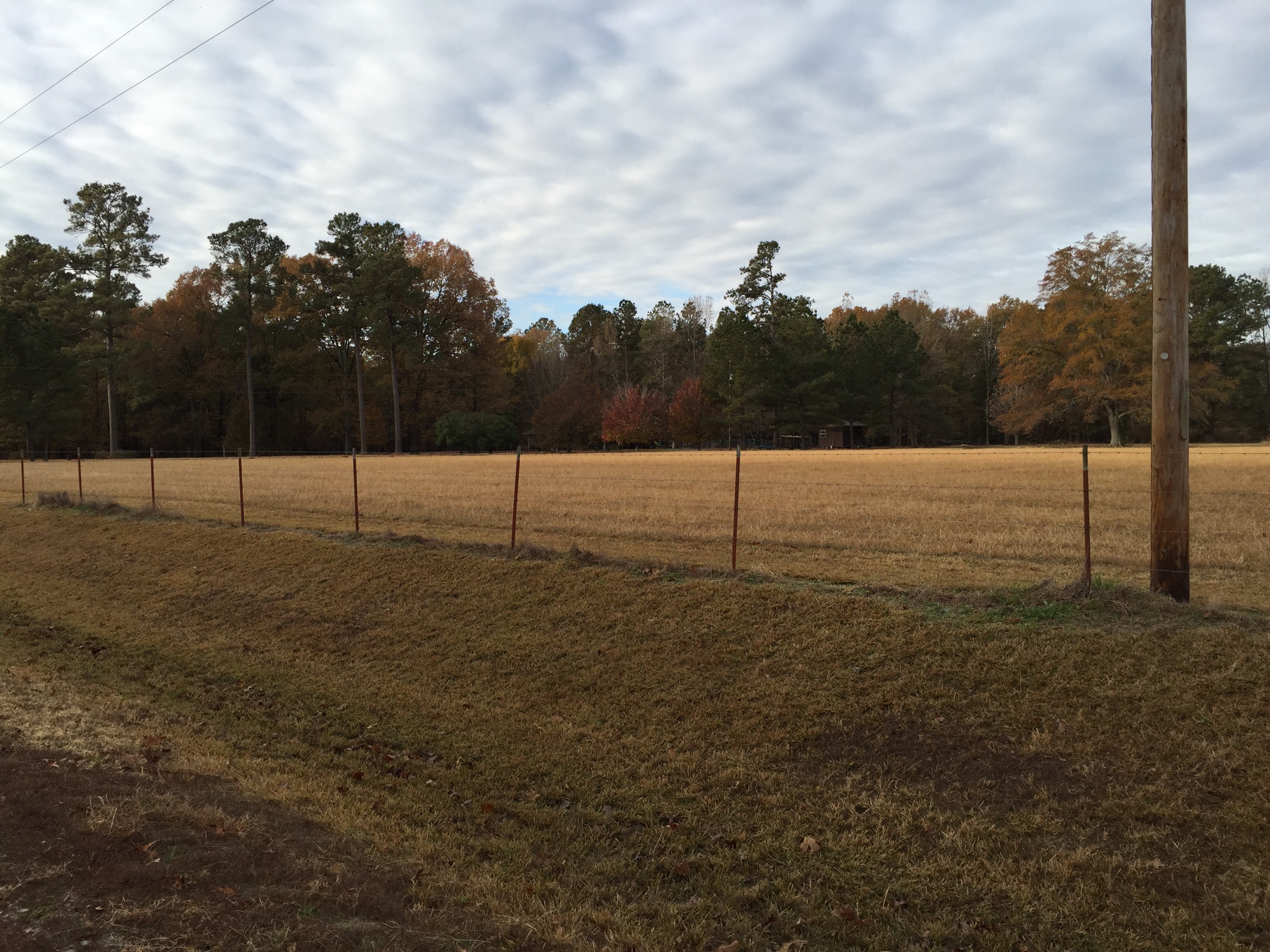
Elevation of Rr 5, Star City, AR, USA
Location: United States > Arkansas > Lincoln County > Spring Township >
Longitude: -91.857704
Latitude: 34.079267
Elevation: 60m / 197feet
Barometric Pressure: 101KPa
Elevation Map:
Satellite Map:
Related Photos:

Tamo
IMG_8860
IMG_8861
DSC06828

Eyes on Arkansas Skies

Grady Tornado IV
A&A Ramp Pano
All Photos-87
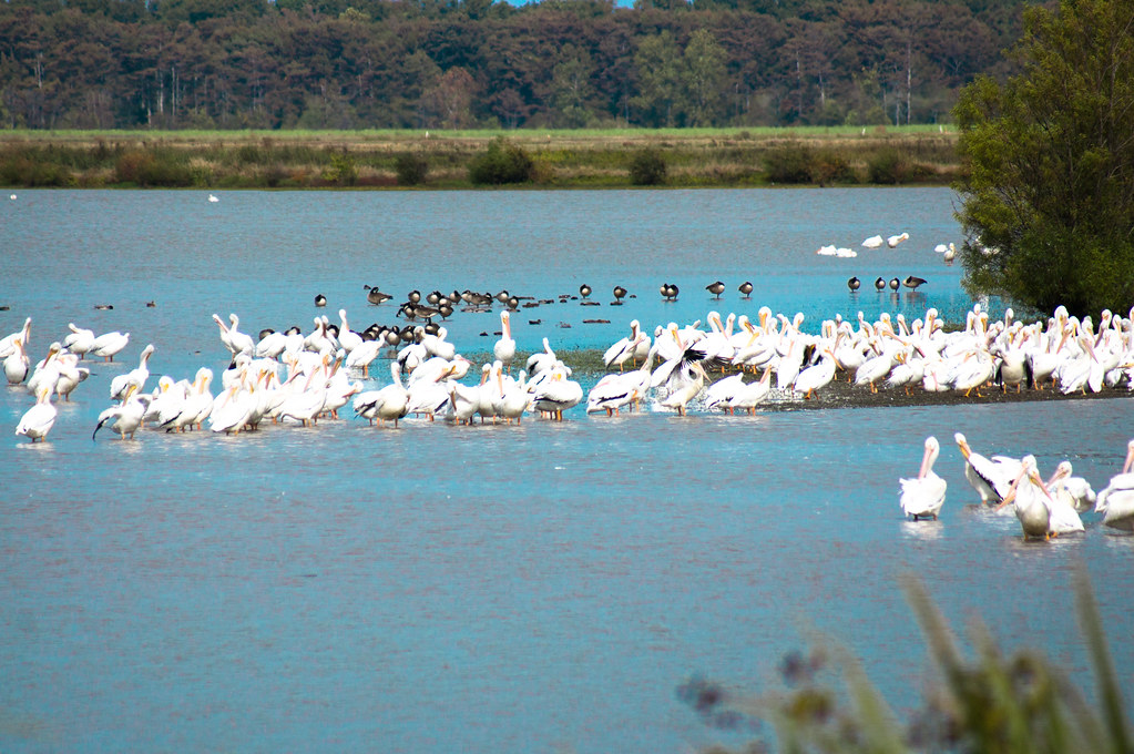
Arkansas White Pelicans-8
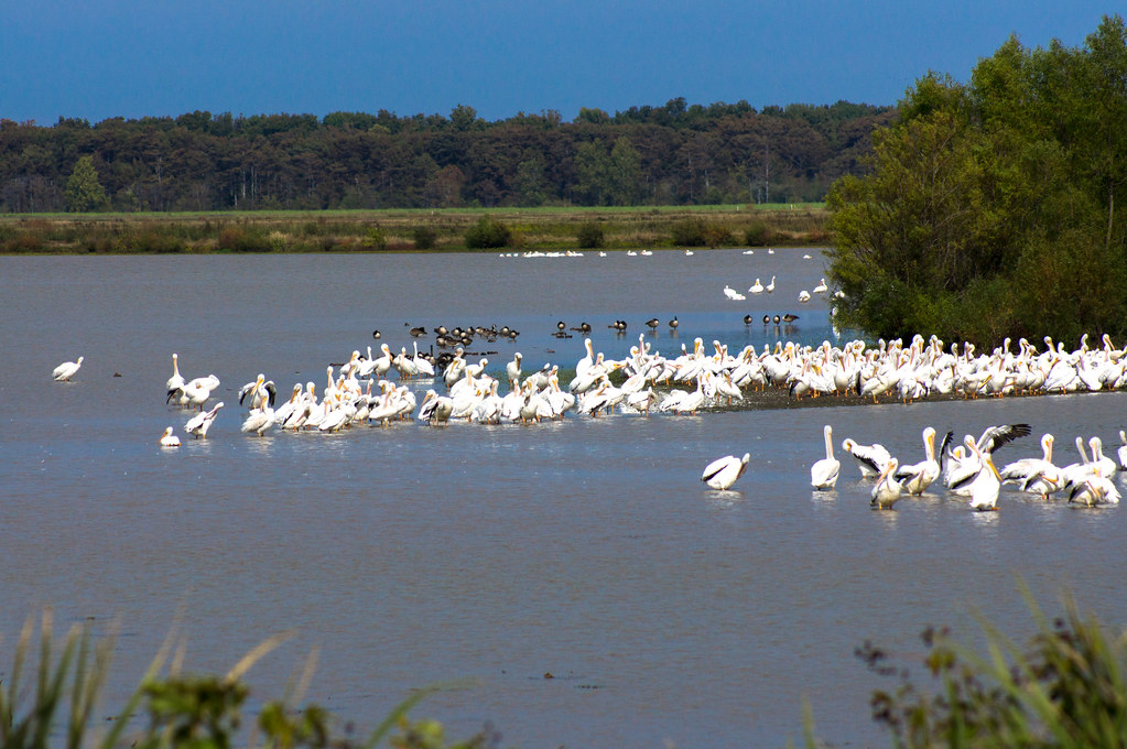
Arkansas White Pelicans-3
Topographic Map of Rr 5, Star City, AR, USA
Find elevation by address:

Places near Rr 5, Star City, AR, USA:
Allegiance Rd, Star City, AR, USA
326 Aztec Rd
Yorktown
N Hwy, Yorktown, AR, USA
Spring Township
Allison Rd, Pine Bluff, AR, USA
Cotton Gin Rd, Grady, AR, USA
Richland Township
Bartholomew Township
W Clemmons Rd, Grady, AR, USA
Bishop Rd, Star City, AR, USA
902 Avalon Rd
US-65, Pine Bluff, AR, USA
Victoria Township
Stratton Dr, Pine Bluff, AR, USA
Star City
Cane Creek Township
AR-54, Star City, AR, USA
30299 Ar-11
Jefferson County
Recent Searches:
- Elevation of Corso Fratelli Cairoli, 35, Macerata MC, Italy
- Elevation of Tallevast Rd, Sarasota, FL, USA
- Elevation of 4th St E, Sonoma, CA, USA
- Elevation of Black Hollow Rd, Pennsdale, PA, USA
- Elevation of Oakland Ave, Williamsport, PA, USA
- Elevation of Pedrógão Grande, Portugal
- Elevation of Klee Dr, Martinsburg, WV, USA
- Elevation of Via Roma, Pieranica CR, Italy
- Elevation of Tavkvetili Mountain, Georgia
- Elevation of Hartfords Bluff Cir, Mt Pleasant, SC, USA