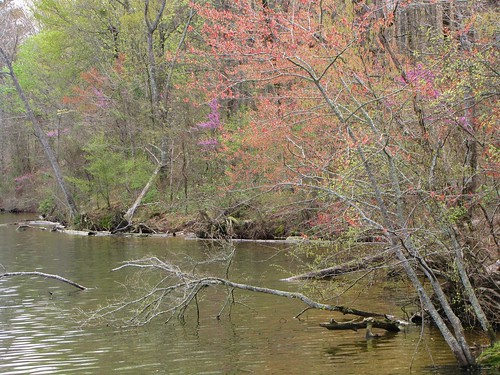
Elevation of Avalon Rd, Star City, AR, USA
Location: United States > Arkansas > Lincoln County > Cane Creek Township > Star City >
Longitude: -91.850112
Latitude: 33.972372
Elevation: -10000m / -32808feet
Barometric Pressure: 295KPa
Related Photos:
Topographic Map of Avalon Rd, Star City, AR, USA
Find elevation by address:

Places near Avalon Rd, Star City, AR, USA:
Star City
N Hwy, Yorktown, AR, USA
30299 Ar-11
Cane Creek Township
20161 Us-425
20272 Us-425
Yorktown
326 Aztec Rd
Gateway Rd, Star City, AR, USA
Owen Township
3436 Goodfellow Rd
Bartholomew Township
Spring Township
Allegiance Rd, Star City, AR, USA
Rr 5, Star City, AR, USA
AR-54, Star City, AR, USA
AR-11, Star City, AR, USA
Bishop Rd, Star City, AR, USA
Lone Pine Township
Lincoln County
Recent Searches:
- Elevation of Corso Fratelli Cairoli, 35, Macerata MC, Italy
- Elevation of Tallevast Rd, Sarasota, FL, USA
- Elevation of 4th St E, Sonoma, CA, USA
- Elevation of Black Hollow Rd, Pennsdale, PA, USA
- Elevation of Oakland Ave, Williamsport, PA, USA
- Elevation of Pedrógão Grande, Portugal
- Elevation of Klee Dr, Martinsburg, WV, USA
- Elevation of Via Roma, Pieranica CR, Italy
- Elevation of Tavkvetili Mountain, Georgia
- Elevation of Hartfords Bluff Cir, Mt Pleasant, SC, USA


