Elevation of Royal Heights Transfer Station, WA-, Raymond, WA, USA

Location: United States > Washington > Pacific County > Raymond >

Longitude: -123.82276

Latitude: 46.7100046

Elevation: 36m / 118feet

Barometric Pressure: 101KPa

Elevation Map:

elevation map of Royal Heights Transfer Station, WA-, Raymond, WA, USA

Satellite Map:

Satellite map of Royal Heights Transfer Station, WA-, Raymond, WA, USA

Related Photos:

washington tokeland pacificcounty
Bar-tailed Godwit (2 of 2)
geotagged geo:lat=466828333333333 geo:lon=123828666666667 geo:dir=1967
17089.jpg
sky clouds watercolor bay pier boat nikon decay working hero pacificnorthwest pnw willapabay resilience baycenter researchvessel scrappiness baycenterwa mvherobaycenterwa mvhero rvherobaycenterwa
R/V Hero, Bay Center WA
geotagged geo:dir=229 geo:lat=467475 geo:lon=123884
17175.jpg
geotagged geo:dir=17 geo:lat=466331666666667 geo:lon=123929
19243.jpg
geotagged geo:dir=3545 geo:lat=465993333333333 geo:lon=1238975
19314.jpg
geotagged geo:dir=2004 geo:lat=466928333333333 geo:lon=1237225
16952.jpg
geotagged geo:lat=466898333333333 geo:lon=123744166666667 geo:dir=3413
16799.jpg
geotagged geo:dir=2263 geo:lat=466156666666667 geo:lon=1239015
19279.jpg
geotagged geo:lon=123913666666667 geo:lat=466143333333333 geo:dir=2808
19299.jpg
geotagged geo:lat=467046666666667 geo:lon=123967666666667
16337.jpg
geotagged geo:dir=1501 geo:lat=466276666666667 geo:lon=1239105
19260.jpg
geotagged geo:dir=3183 geo:lat=46656 geo:lon=1239115
19194.jpg
geotagged geo:dir=12 geo:lat=466328333333333 geo:lon=123930833333333
19246.jpg
geotagged geo:lon=123978833333333 geo:lat=467551666666667 geo:dir=562
16700.jpg
geotagged geo:lat=466806666666667 geo:lon=123741666666667 geo:dir=1618
17011.jpg
geotagged geo:lon=123924666666667 geo:lat=466321666666667 geo:dir=15
19248.jpg
geotagged geo:lat=4671 geo:lon=1239975
16327.jpg
geotagged geo:lat=466786666666667 geo:lon=123712666666667 geo:dir=1833
16925.jpg
geotagged geo:dir=2005 geo:lat=46679 geo:lon=1237035
16921.jpg
geotagged geo:dir=285 geo:lat=466571666666667 geo:lon=123910166666667
19198.jpg
pacificnorthwest washington nature water photographersontumblr northwest mudflats originalphotographers blackandwhitephotography naturephotography lowtide trees photooftheday beach unitedstates tree blackandwhite landscapephotography photography northamerica outdoors outdoorphotography usa coast willapabay pacificcounty southbend us
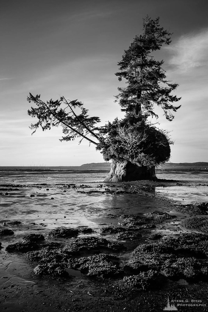
Conifer Island at Low Tide, Willapa Bay, Washington, Winter 2018
geotagged geo:lat=466775 geo:lon=123773666666667 geo:dir=179
16780.jpg
geotagged geo:lat=466763333333333 geo:lon=1237835 geo:dir=2569
16779.jpg
sky out washington flat mud tide january calm longbeach willapabay 2014 themonthlyscavengerhunt 0114sh7 sh7quiet
sh7 quiet
estuary landscape landscapephotography nature naturephotography niawiakumriver northamerica originalphotographers pacificcounty pacificnorthwest photooftheday photographersontumblr photography trees unitedstates usa washington washingtonstate water willapabay winter
Estuary, Niawiakum River Natural Area, Washington, Winter 2017
washington pacific
Photo May 28, 11 57 40 AM
clouds coast coastline landscape landscapephotography nature naturephotography northamerica originalphotographers pacificcounty pacificnorthwest photooftheday photographersontumblr photography shore shoreline unitedstates usa washington washingtonstate water willapabay winter
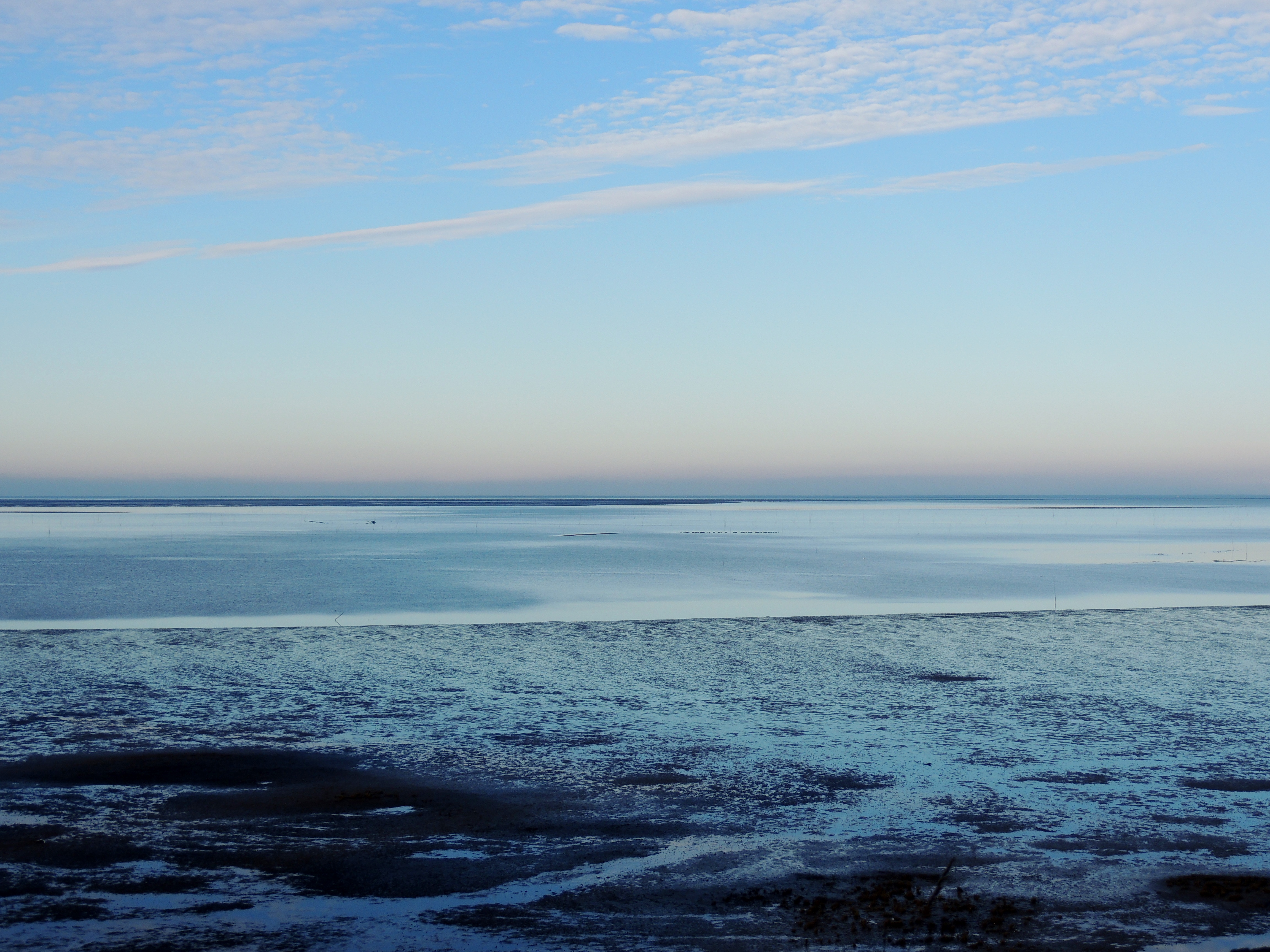
North Shore, Willapa Bay, Washington, Winter 2017
sunset clouds landscape pier tokeland willapabay supershot wasshington
ST-DK-00019
odc willapalandingpark
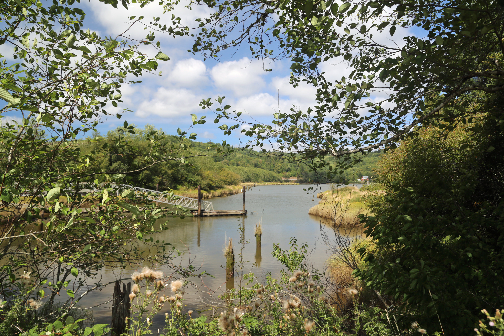
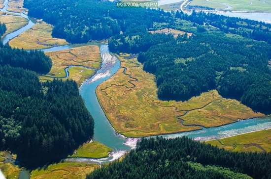
Willapa River Landscape
blackandwhite blackandwhitephotography clouds coast coastline dock landscape landscapephotography monochrome nature naturephotography northamerica originalphotographers pacificcounty pacificnorthwest photooftheday photographersontumblr photography pilings rural ruralphotography shore shoreline sky tokeland unitedstates usa washington washingtonstate water willipabay winter
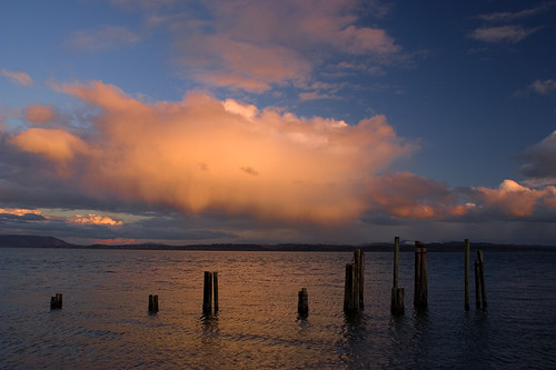
Old Dock, Tokeland, Washington, Winter 2017
cedarriver creek forest landscape landscapephotography nature naturephotography northamerica originalphotographers pacificcounty pacificnorthwest photooftheday photographersontumblr photography river stream trees unitedstates usa washington washingtonstate water willapabay winter
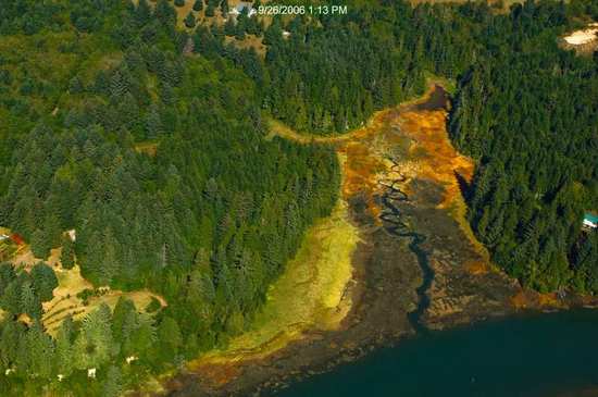
Unknown Creek, Pacific County, Washington, Winter 2017
Willipa River
Old, Mossy Fenceposts.
Olympic National Park (22)
grass yard golf tokelandwa
Chasing Balls
cedarriver creek forest landscape landscapephotography nature naturephotography northamerica originalphotographers pacificcounty pacificnorthwest photooftheday photographersontumblr photography river stream trees unitedstates usa washington washingtonstate water willapabay winter
Tributary of Cedar River, Pacific County, Washington, Winter 2017
geotagged geo:lat=467088333333333 geo:lon=123977
16345.jpg
Olympic National Park (15)