Elevation of Bay Center Rd, South Bend, WA, USA
Location: United States > Washington > Pacific County > South Bend >
Longitude: -123.95315
Latitude: 46.6214575
Elevation: 14m / 46feet
Barometric Pressure: 101KPa
Elevation Map:
Satellite Map:
Related Photos:

Norris Slough, Pacific County, Washington, Winter 2017

North Shore, Willapa Bay, Washington, Winter 2017
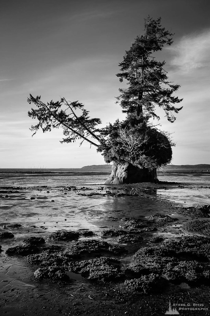
Conifer Island at Low Tide, Willapa Bay, Washington, Winter 2018
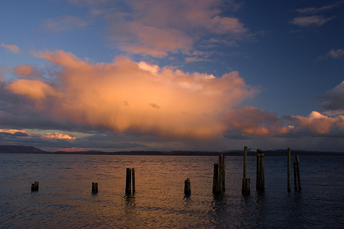
peace and the sea
ST-DK-00019
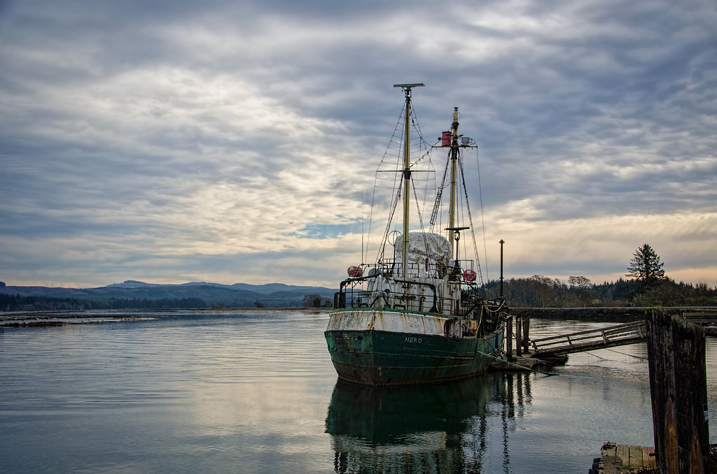
R/V Hero, Bay Center WA
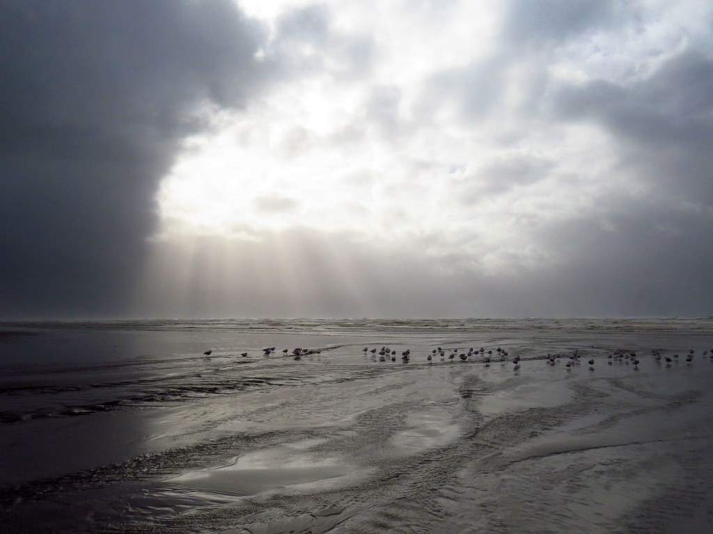
Just a stormy day at the beach!

19275.jpg

365/31 - 1/31/13 - Immortal, the beach and water will always be here, wish the plastic junk was'nt!
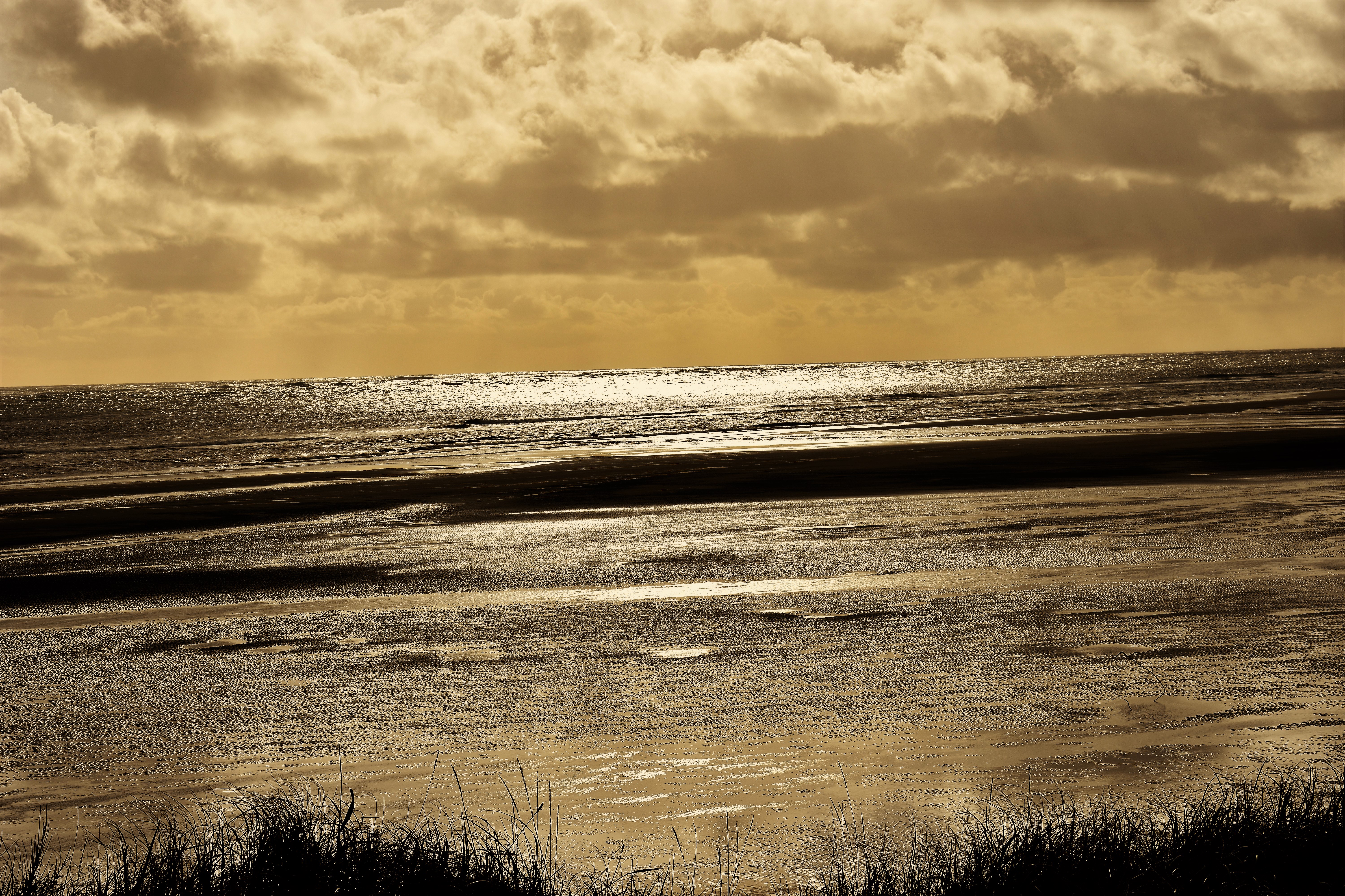
Willapa Bay

16344.jpg

16698.jpg

Unknown Creek, Pacific County, Washington, Winter 2017
A seaweed huntin' dog
16700.jpg
365/77 - 3/18/13 - HIGH KEY is the topic for Monday 18th March 2013

16780.jpg
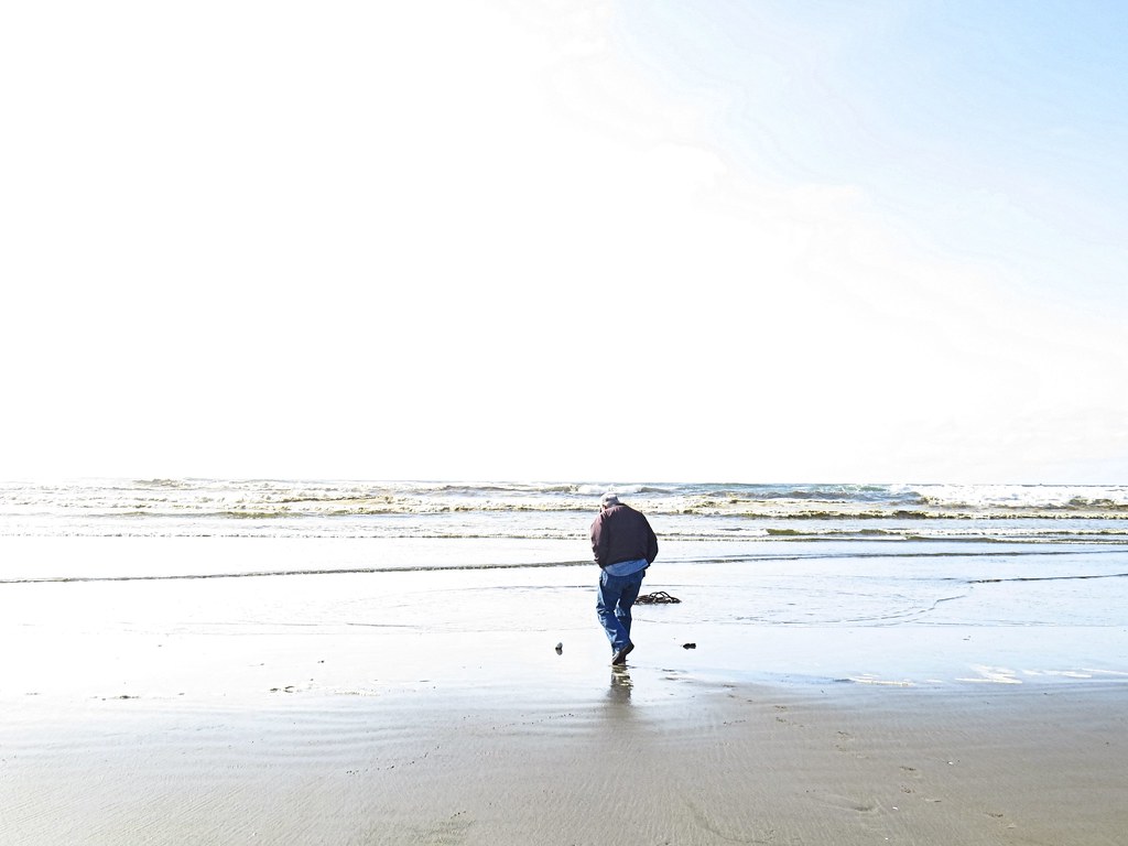
365/53 - 2/22/13 - Fun stormy day at the beach!

16779.jpg

Old Dock, Tokeland, Washington, Winter 2017

Estuary, Niawiakum River Natural Area, Washington, Winter 2017
Topographic Map of Bay Center Rd, South Bend, WA, USA
Find elevation by address:

Places near Bay Center Rd, South Bend, WA, USA:
36 Willaview Ln, South Bend, WA, USA
20 Rhodesia Beach Rd
Bay Center
80 Wilson Ln
18 Wilson Ln
16 Bay Center Rd, South Bend, WA, USA
US-, South Bend, WA, USA
Toke Point
Kindred Ave, Tokeland, WA, USA
Leadbetter Point State Park
A Street & Ogren Road
71 Rixon Rd
Pacific County Courthouse
702 Robert Bush Drive East
618 Cowlitz St
618 Cowlitz St
South Bend
Royal Heights Transfer Station
1034 Juniper St
Recent Searches:
- Elevation of Corso Fratelli Cairoli, 35, Macerata MC, Italy
- Elevation of Tallevast Rd, Sarasota, FL, USA
- Elevation of 4th St E, Sonoma, CA, USA
- Elevation of Black Hollow Rd, Pennsdale, PA, USA
- Elevation of Oakland Ave, Williamsport, PA, USA
- Elevation of Pedrógão Grande, Portugal
- Elevation of Klee Dr, Martinsburg, WV, USA
- Elevation of Via Roma, Pieranica CR, Italy
- Elevation of Tavkvetili Mountain, Georgia
- Elevation of Hartfords Bluff Cir, Mt Pleasant, SC, USA