Elevation of Rohr in Niederbayern, Germany
Location: Austria > Bavaria > Lower Bavaria >
Longitude: 11.9689895
Latitude: 48.7683653
Elevation: 421m / 1381feet
Barometric Pressure: 96KPa
Elevation Map:
Satellite Map:
Related Photos:

View over Allakofen III

View over Allakofen I
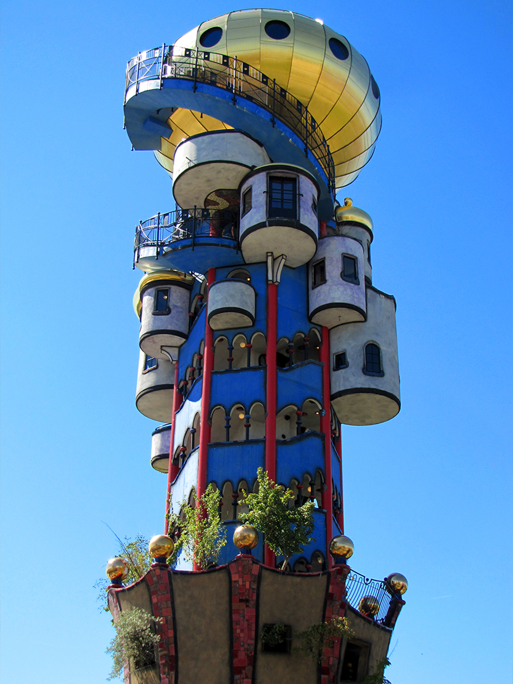
UFO has landed

Architecture melting away

View over Allakofen II

View over Allakofen IV

In the Forest V

Benni 493

Benni 535

There is still some seed ....

Unter Strom

Lunchtime ....
Topographic Map of Rohr in Niederbayern, Germany
Find elevation by address:

Places in Rohr in Niederbayern, Germany:
Places near Rohr in Niederbayern, Germany:
Helchenbach 20, Rohr in Niederbayern, Germany
Helchenbach
Mantelkirchen
Untermantelkirchen 7, Kirchdorf, Germany
Kirchdorf
Oberlauterbach
Bachstraße 1, Pfeffenhausen, Germany
Wildenberg
181/2
Rottenburg An Der Laaber
Obere Dorfstraße 5, Herrngiersdorf, Germany
Sandsbach
Kelheim
Lurz 19, Rottenburg an der Laaber, Germany
Langquaid
Pfeffenhausen
Herrngiersdorf
Saal An Der Donau
Hauptstatt
Egglhausen
Recent Searches:
- Elevation of Corso Fratelli Cairoli, 35, Macerata MC, Italy
- Elevation of Tallevast Rd, Sarasota, FL, USA
- Elevation of 4th St E, Sonoma, CA, USA
- Elevation of Black Hollow Rd, Pennsdale, PA, USA
- Elevation of Oakland Ave, Williamsport, PA, USA
- Elevation of Pedrógão Grande, Portugal
- Elevation of Klee Dr, Martinsburg, WV, USA
- Elevation of Via Roma, Pieranica CR, Italy
- Elevation of Tavkvetili Mountain, Georgia
- Elevation of Hartfords Bluff Cir, Mt Pleasant, SC, USA