Elevation of Mantelkirchen, Kirchdorf, Germany
Location: Austria > Bavaria > Lower Bavaria > Kirchdorf >
Longitude: 11.9274282
Latitude: 48.7663607
Elevation: 412m / 1352feet
Barometric Pressure: 96KPa
Elevation Map:
Satellite Map:
Related Photos:

View over Allakofen III

View over Allakofen I
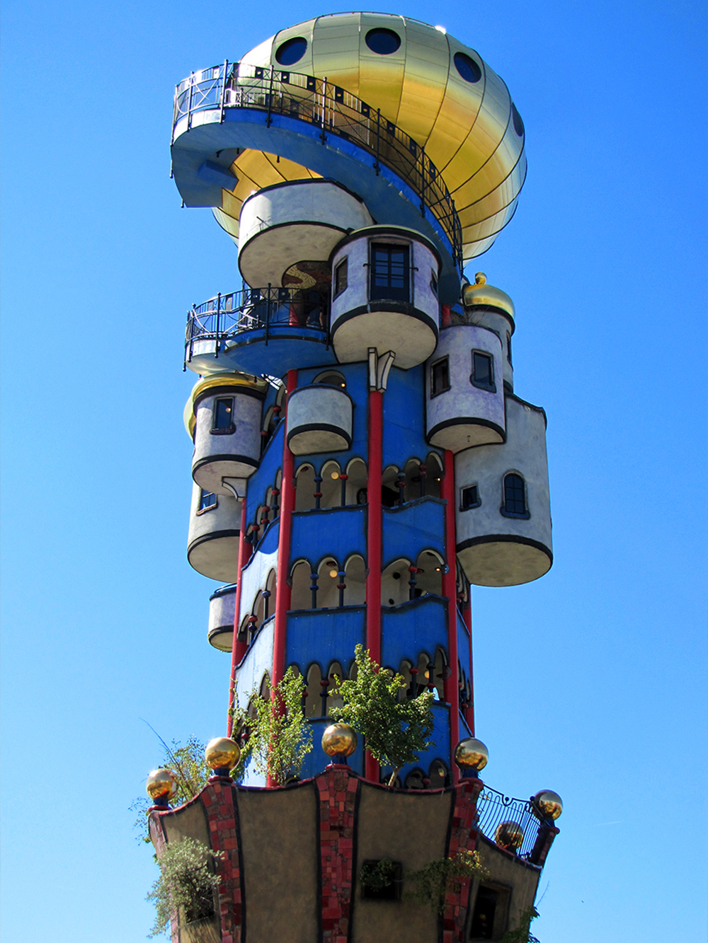
UFO has landed
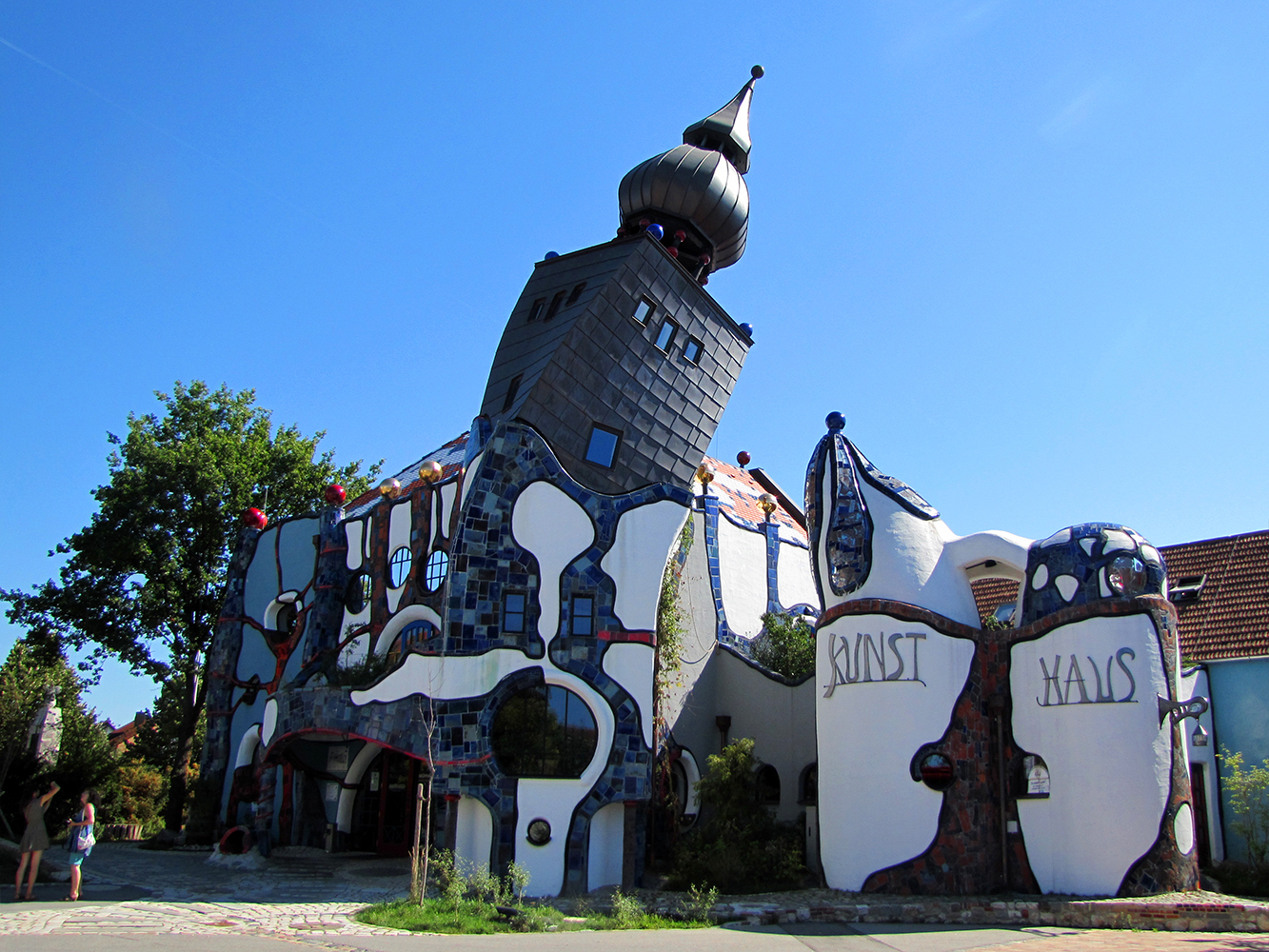
Architecture melting away

View over Allakofen II

View over Allakofen IV

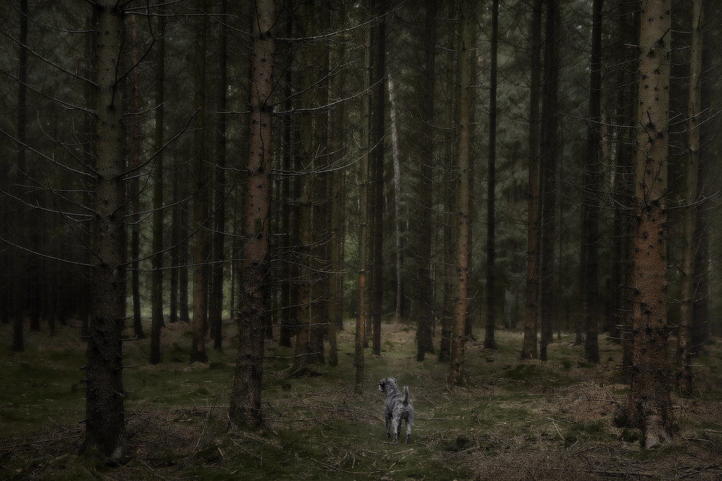
In the Forest V

Lunchtime ....

Benni 493

Benni 535

There is still some seed ....

Unter Strom
Benni 541

Benni 550

Benni 558
Topographic Map of Mantelkirchen, Kirchdorf, Germany
Find elevation by address:

Places in Mantelkirchen, Kirchdorf, Germany:
Places near Mantelkirchen, Kirchdorf, Germany:
Untermantelkirchen 7, Kirchdorf, Germany
Kirchdorf
Wildenberg
Kelheim
181/2
Oberlauterbach
Bachstraße 1, Pfeffenhausen, Germany
Biburg
Stadionstraße
Abensberg
Saal An Der Donau
Mühlhausener Str. 9, Biburg, Germany
Altdürnbuch
Abensberg Kuchlbauer Kunsthaus
Horneck 19, Elsendorf, Germany
Horneck
Train
Ebenweg 9, Train, Germany
Elsendorf
Berghausen
Recent Searches:
- Elevation of Corso Fratelli Cairoli, 35, Macerata MC, Italy
- Elevation of Tallevast Rd, Sarasota, FL, USA
- Elevation of 4th St E, Sonoma, CA, USA
- Elevation of Black Hollow Rd, Pennsdale, PA, USA
- Elevation of Oakland Ave, Williamsport, PA, USA
- Elevation of Pedrógão Grande, Portugal
- Elevation of Klee Dr, Martinsburg, WV, USA
- Elevation of Via Roma, Pieranica CR, Italy
- Elevation of Tavkvetili Mountain, Georgia
- Elevation of Hartfords Bluff Cir, Mt Pleasant, SC, USA