Elevation of Langquaid, Germany
Location: Austria > Bavaria > Lower Bavaria >
Longitude: 12.0505158
Latitude: 48.8238406
Elevation: 388m / 1273feet
Barometric Pressure: 97KPa
Elevation Map:
Satellite Map:
Related Photos:

The fly on my jeans
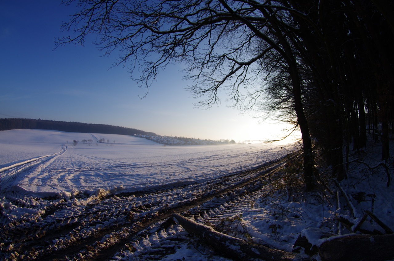
View of Niedergebraching
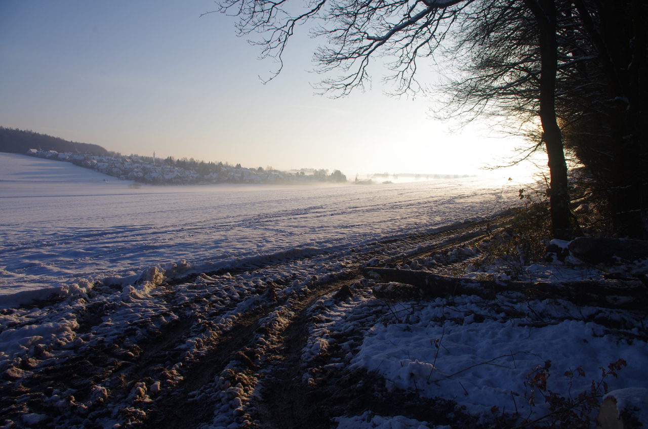
View of Niedergebraching.
UFO has landed

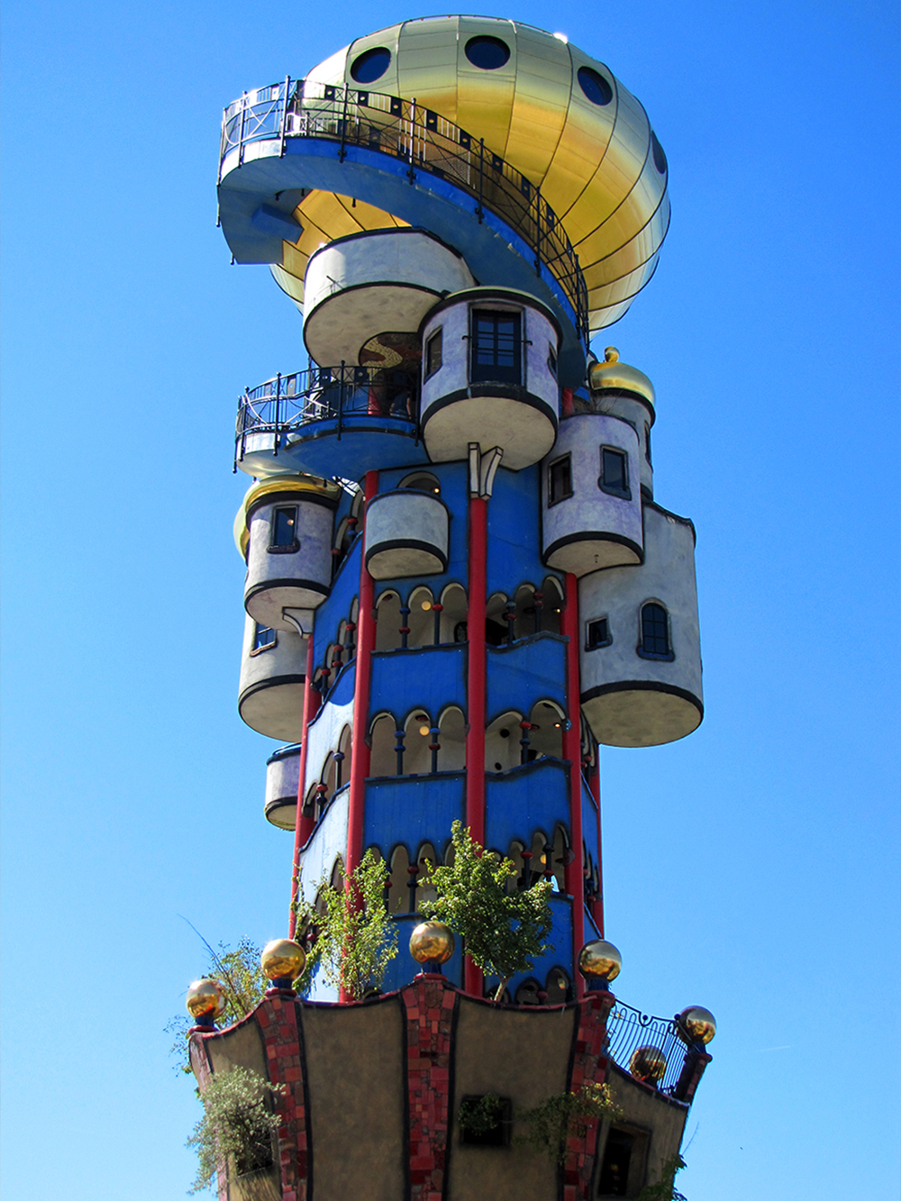
Architecture melting away

Benni 493
Benni 506

Benni 535

Benni 561

Unter Strom
Cloudy day
Topographic Map of Langquaid, Germany
Find elevation by address:

Places in Langquaid, Germany:
Places near Langquaid, Germany:
Sandsbach
Obere Dorfstraße 5, Herrngiersdorf, Germany
Niederleierndorf
Mühlweg 3, Langquaid, Germany
Herrngiersdorf
Helchenbach
Helchenbach 20, Rohr in Niederbayern, Germany
Dünzling
Saalhaupter Str. 1, Bad Abbach, Germany
Peising
Talstraße 4, Bad Abbach, Germany
Rohr In Niederbayern
Bad Abbach
Rottenburg An Der Laaber
Peterfecking
Schloßstraße 7, Saal an der Donau, Germany
1a
Mantelkirchen
Untermantelkirchen 7, Kirchdorf, Germany
Wolkering
Recent Searches:
- Elevation of Corso Fratelli Cairoli, 35, Macerata MC, Italy
- Elevation of Tallevast Rd, Sarasota, FL, USA
- Elevation of 4th St E, Sonoma, CA, USA
- Elevation of Black Hollow Rd, Pennsdale, PA, USA
- Elevation of Oakland Ave, Williamsport, PA, USA
- Elevation of Pedrógão Grande, Portugal
- Elevation of Klee Dr, Martinsburg, WV, USA
- Elevation of Via Roma, Pieranica CR, Italy
- Elevation of Tavkvetili Mountain, Georgia
- Elevation of Hartfords Bluff Cir, Mt Pleasant, SC, USA