Elevation of Rockmere Dr, Idyllwild, CA, USA
Location: United States > California > Riverside County > Idyllwild-pine Cove > Idyllwild >
Longitude: -116.7369946
Latitude: 33.7605252
Elevation: 1894m / 6214feet
Barometric Pressure: 0KPa
Related Photos:
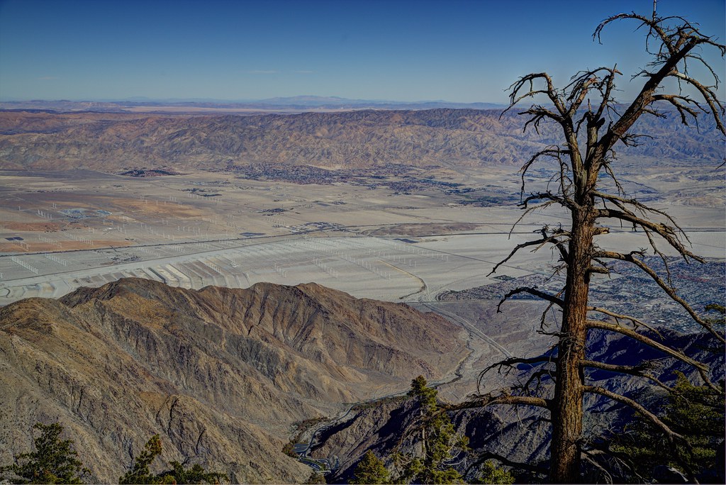
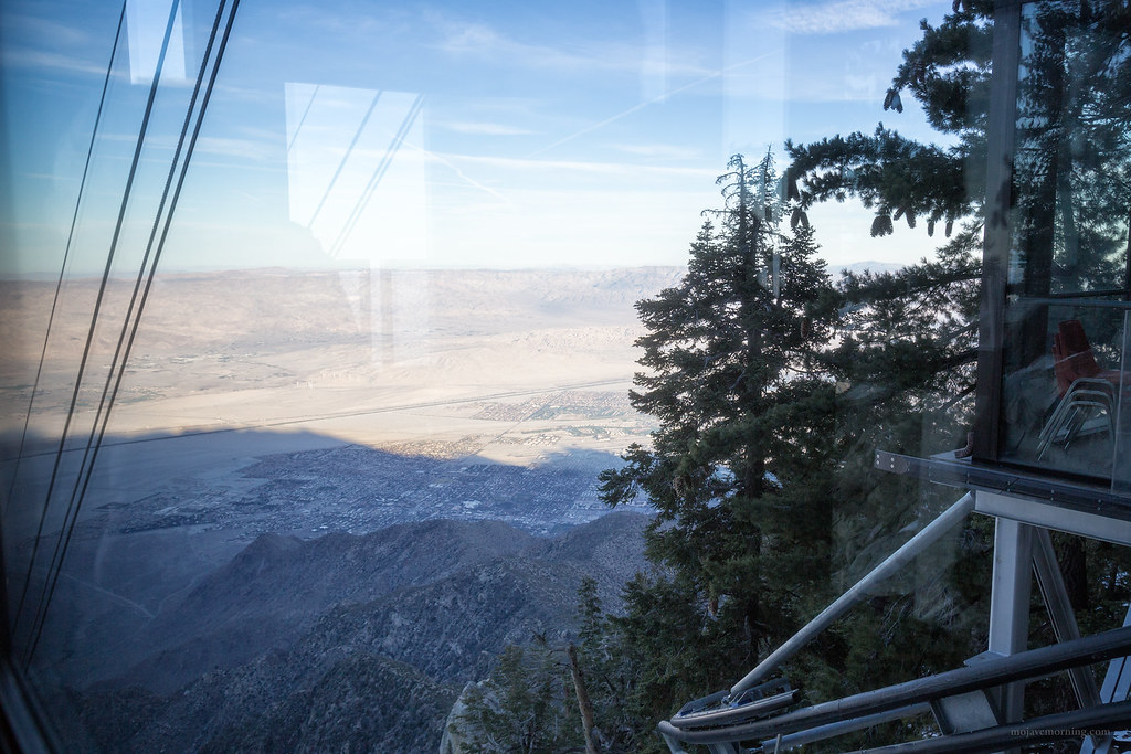
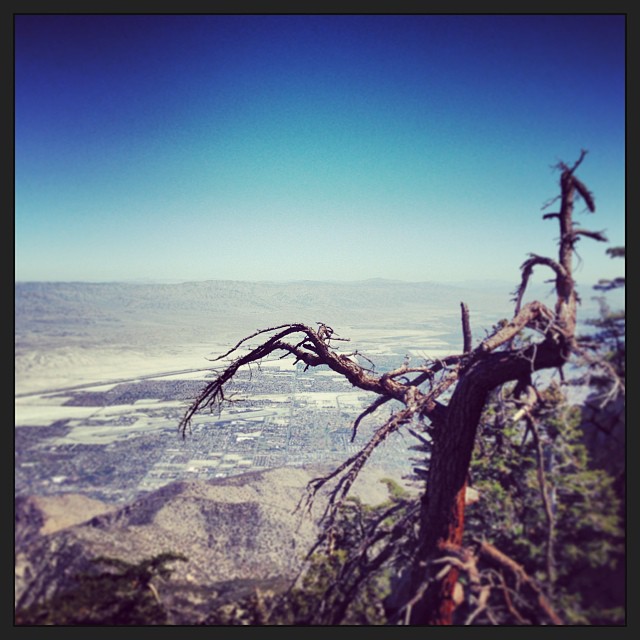
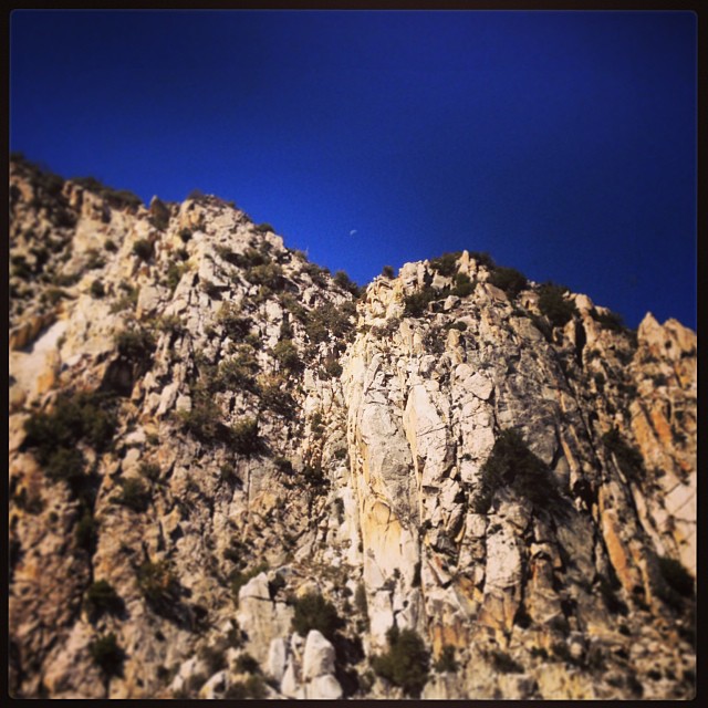
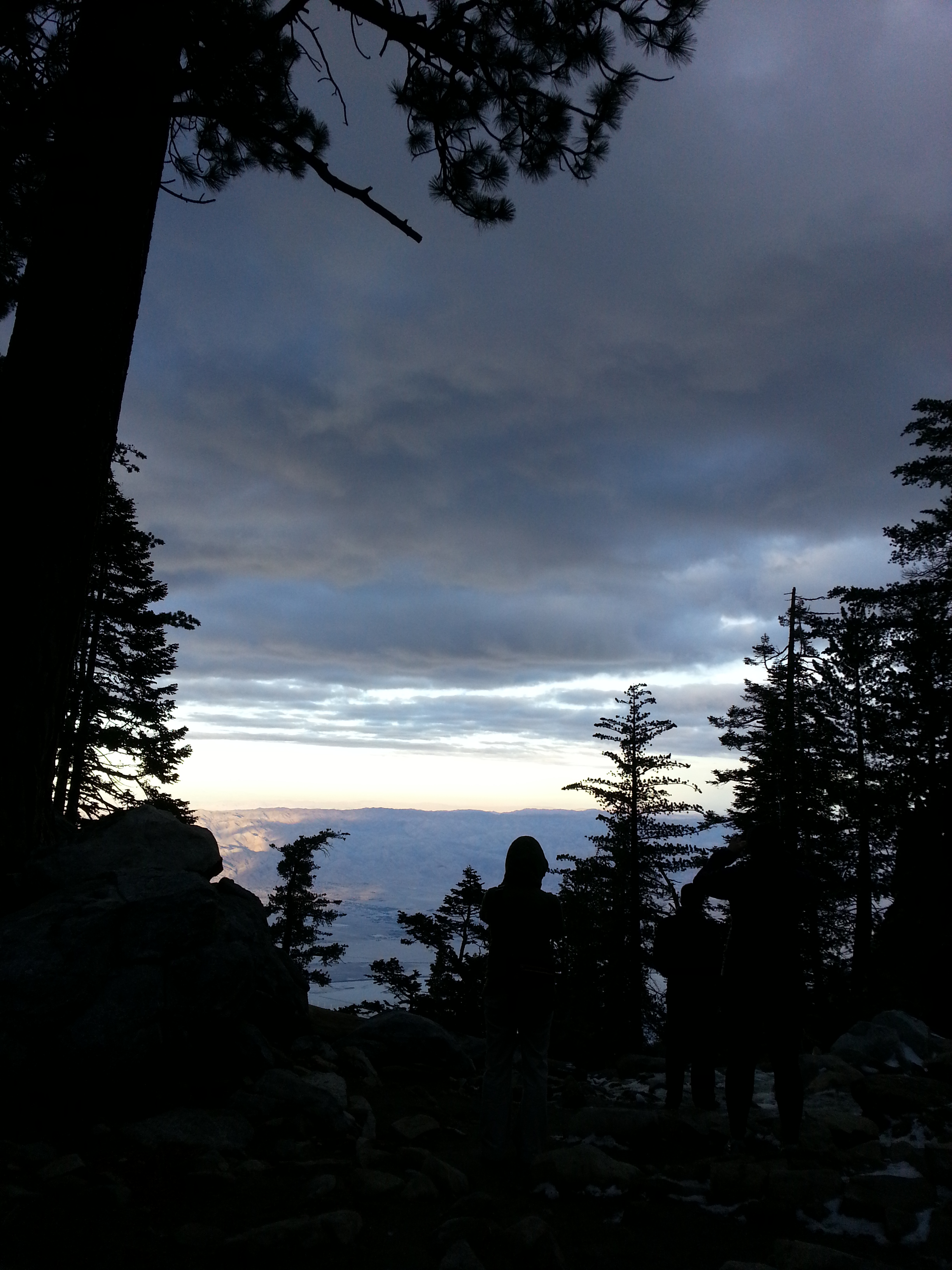
Palm Springs Tramway View
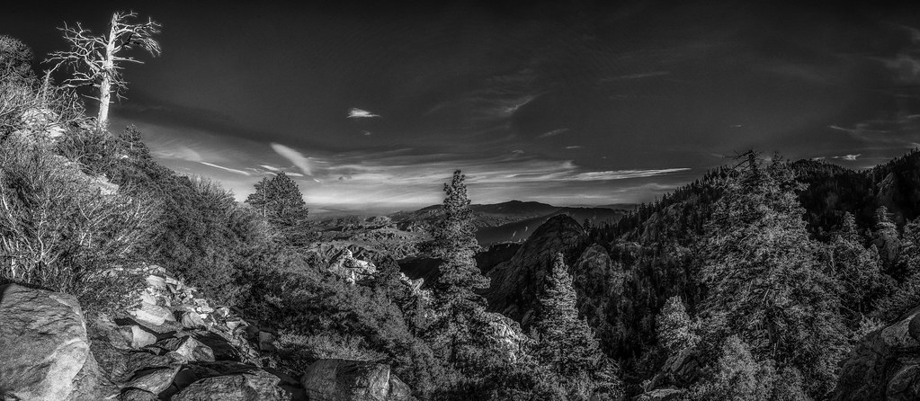
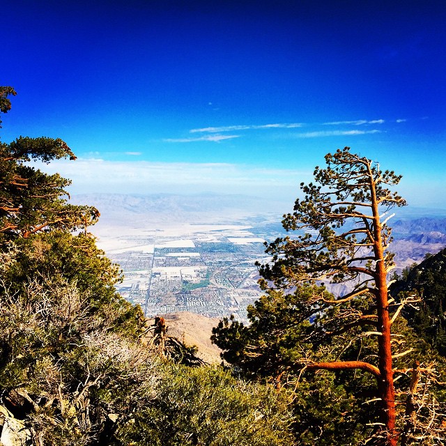
San Jacinto Mountain View

Palm Springs Blue Hour

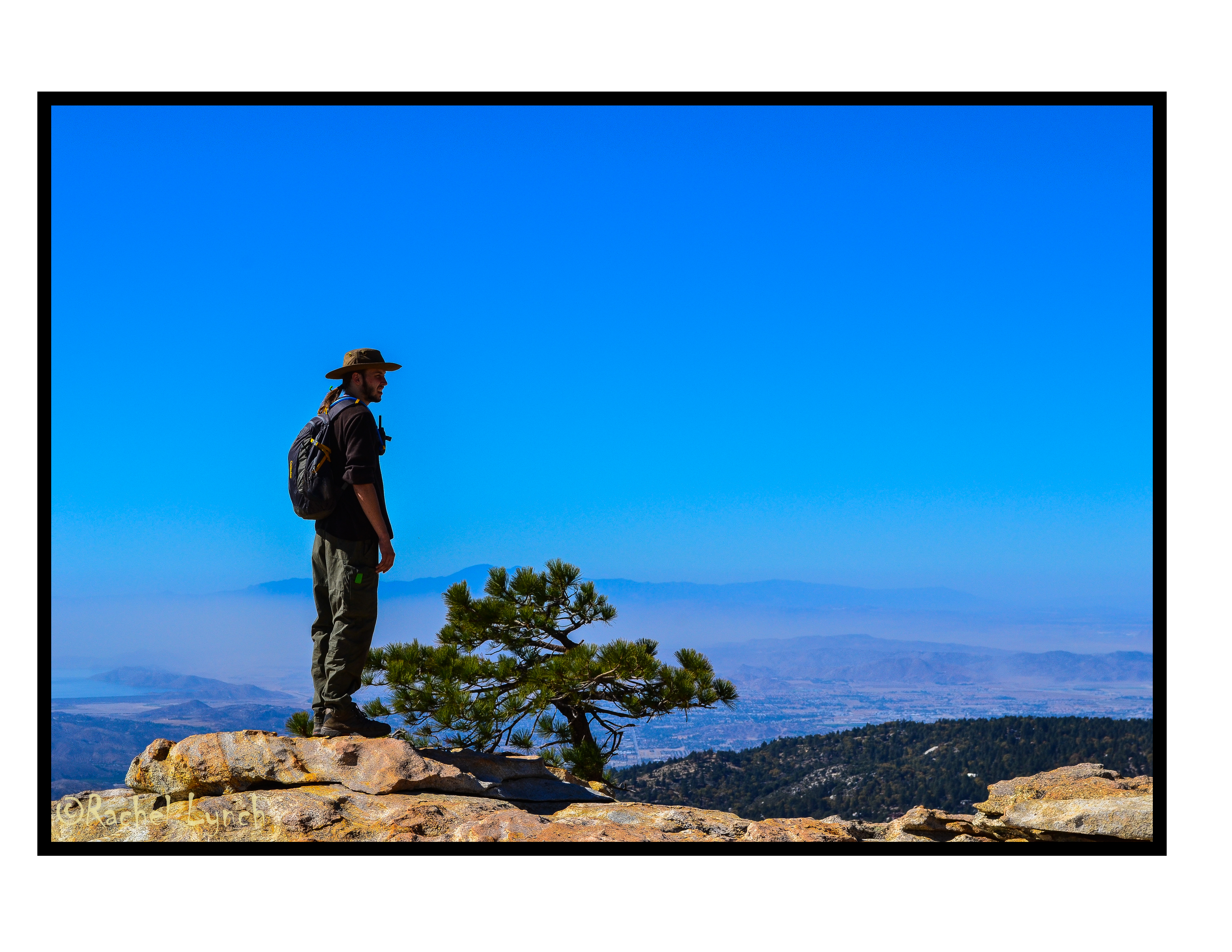
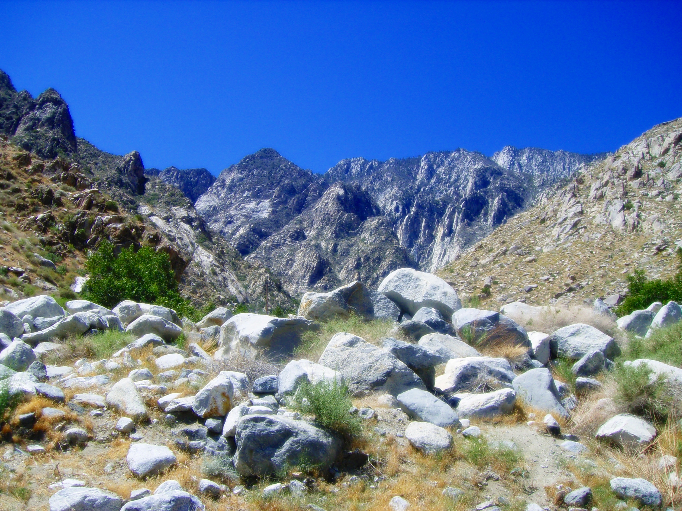
Mt. San Jacinto Peak
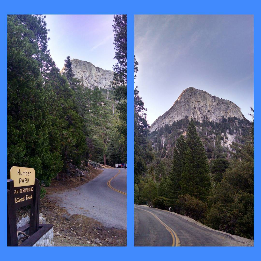
Morning view of Tahquitz Peak on walk to Humber Park - #IdyllwildJazz -enabled ;)
Its Yours Today.

Palm Springs Moon Rising

Curious racoon and shy friend

Ride the Swirl
Lake Mist
View Down
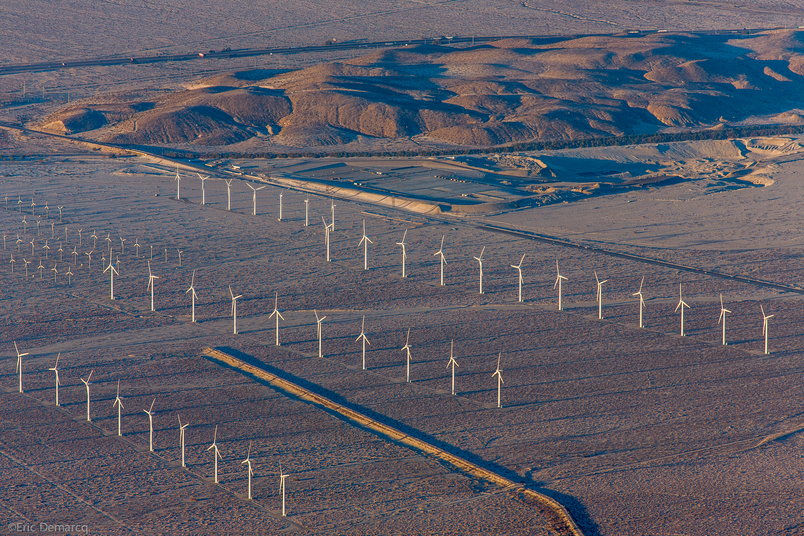
Palm Springs Windmill

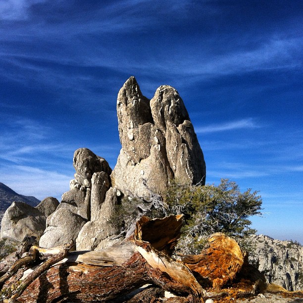
mountain (explore)
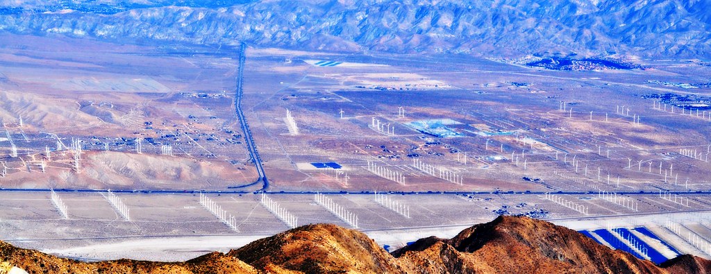
View of the Wind Turbines from the San Jacinto Mountains
View from the top
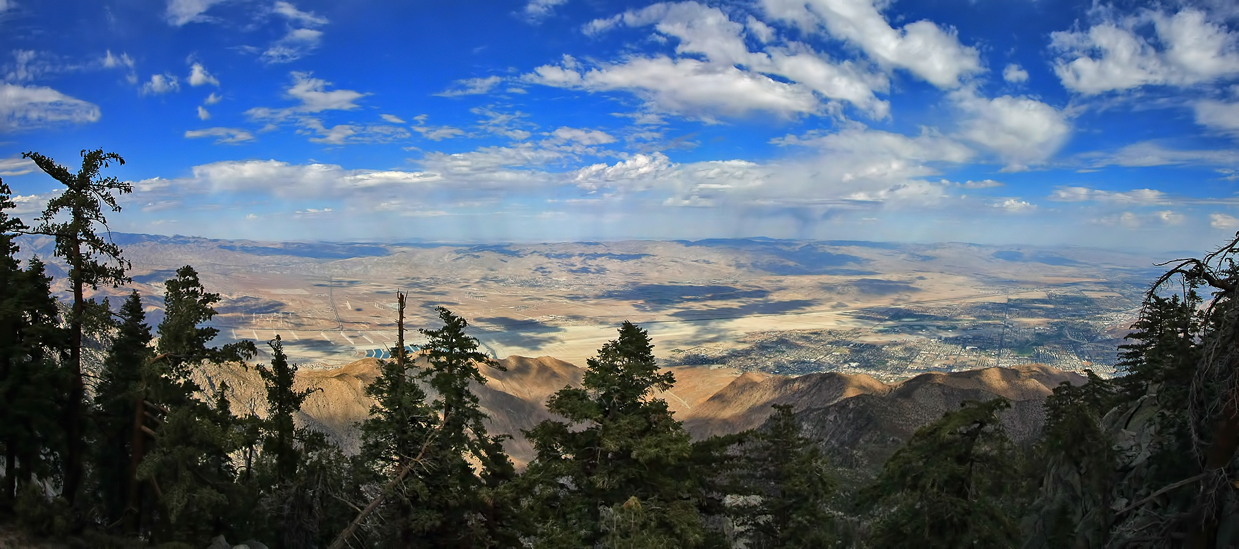
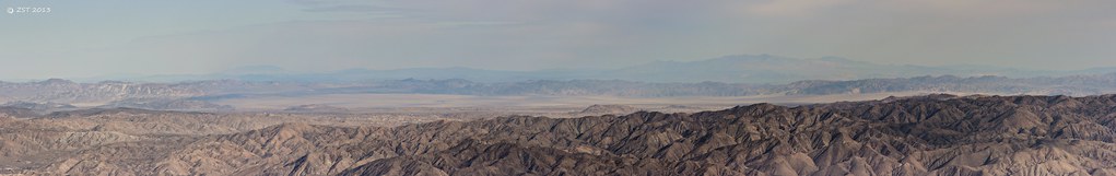
The view of Coachella valley
Palm Springs Tramway Mountains

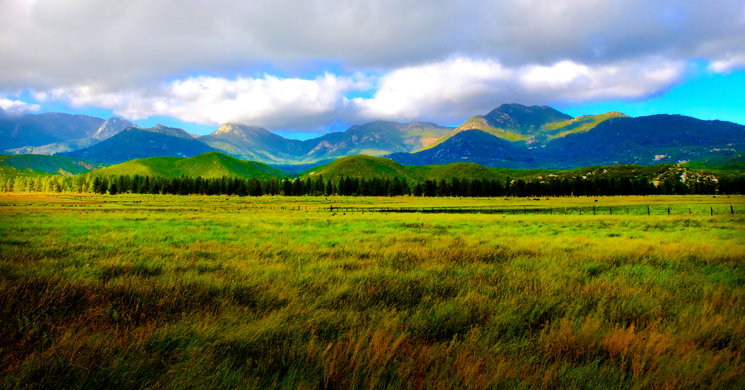
Beautiful views both ways
Palm Spring Aerial Panorama

On a little trail
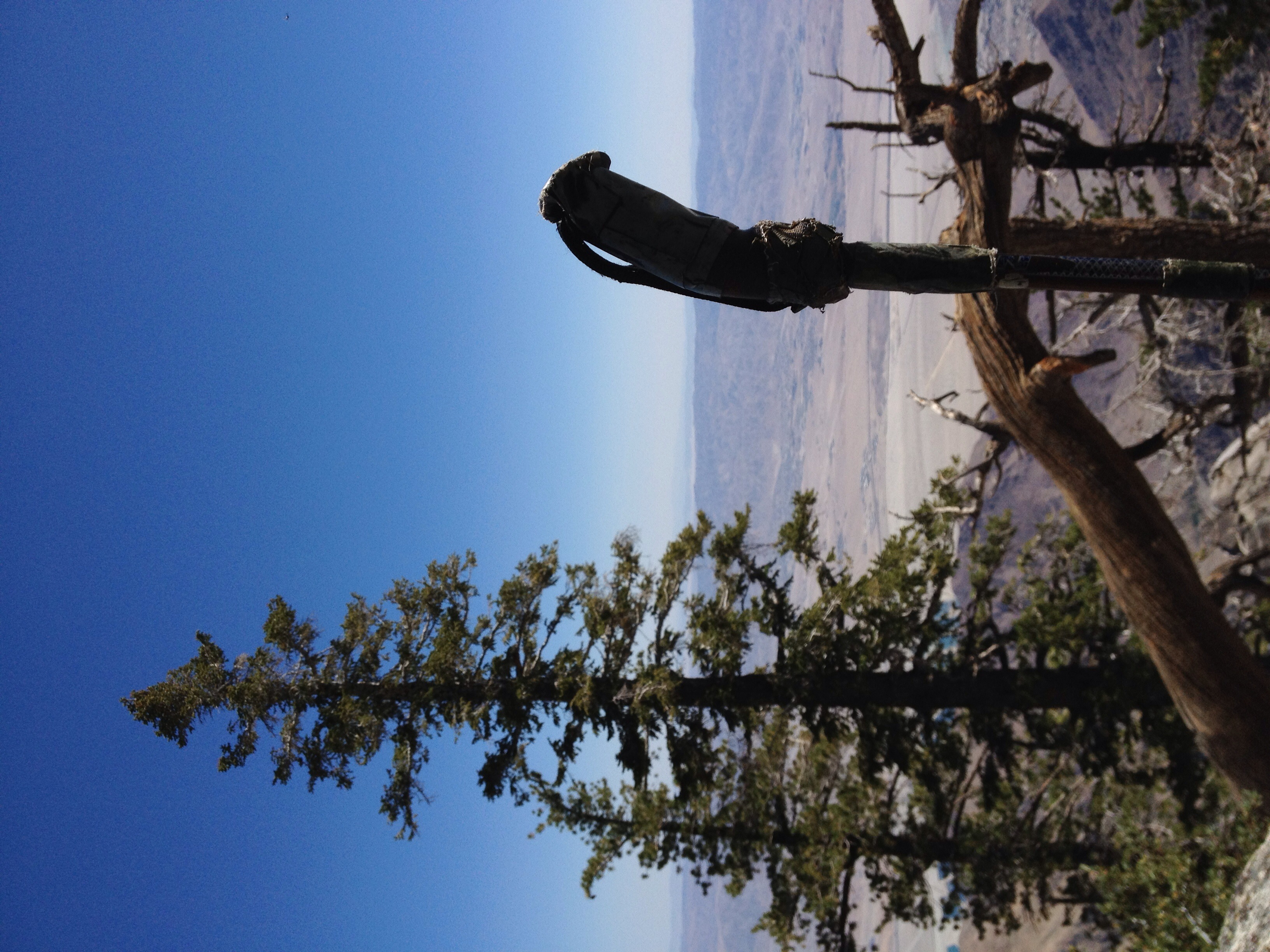
Desert stick view
Beyond The Barbed Wire Fence

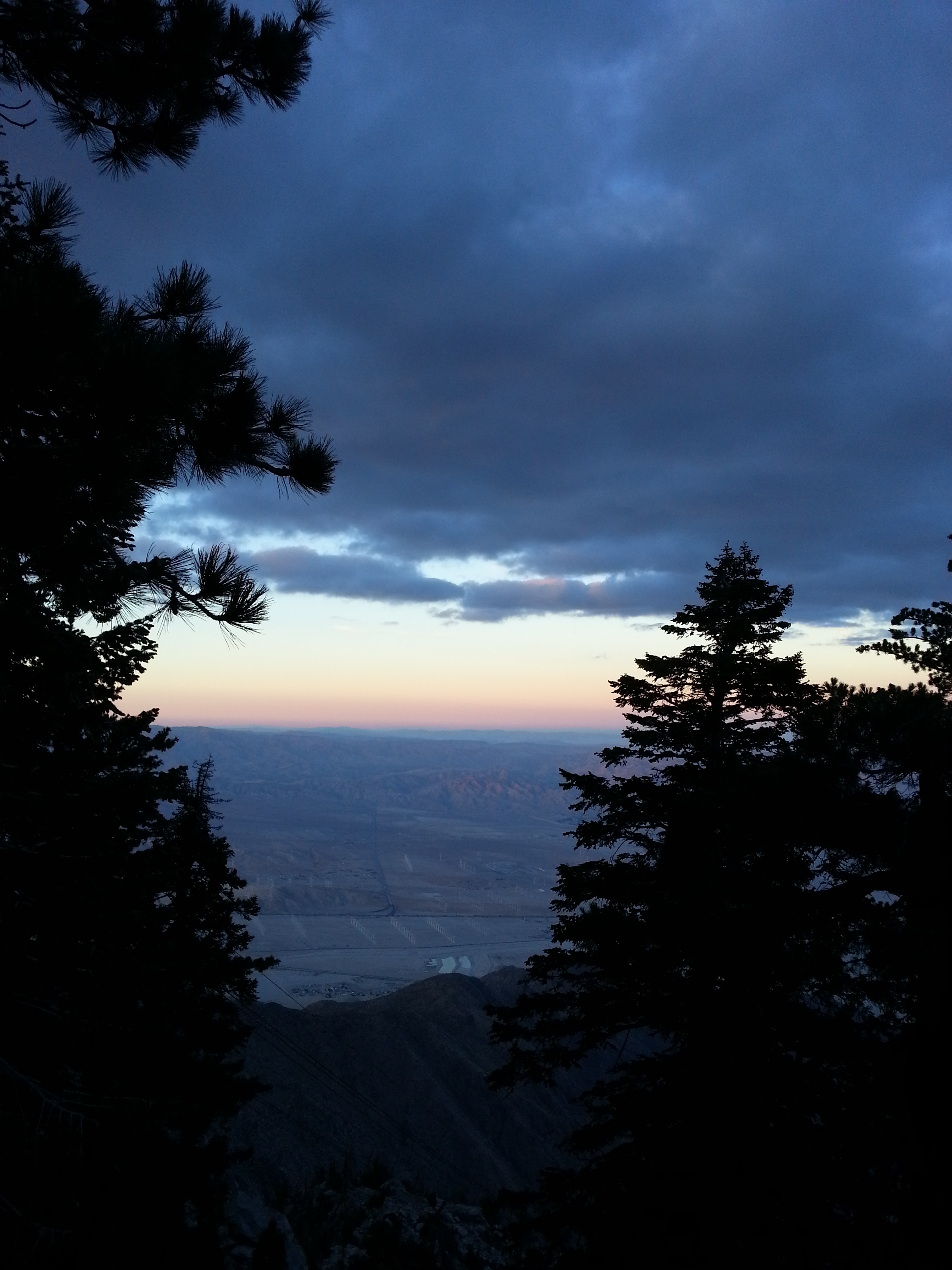
Reflecting on an autumn sunset
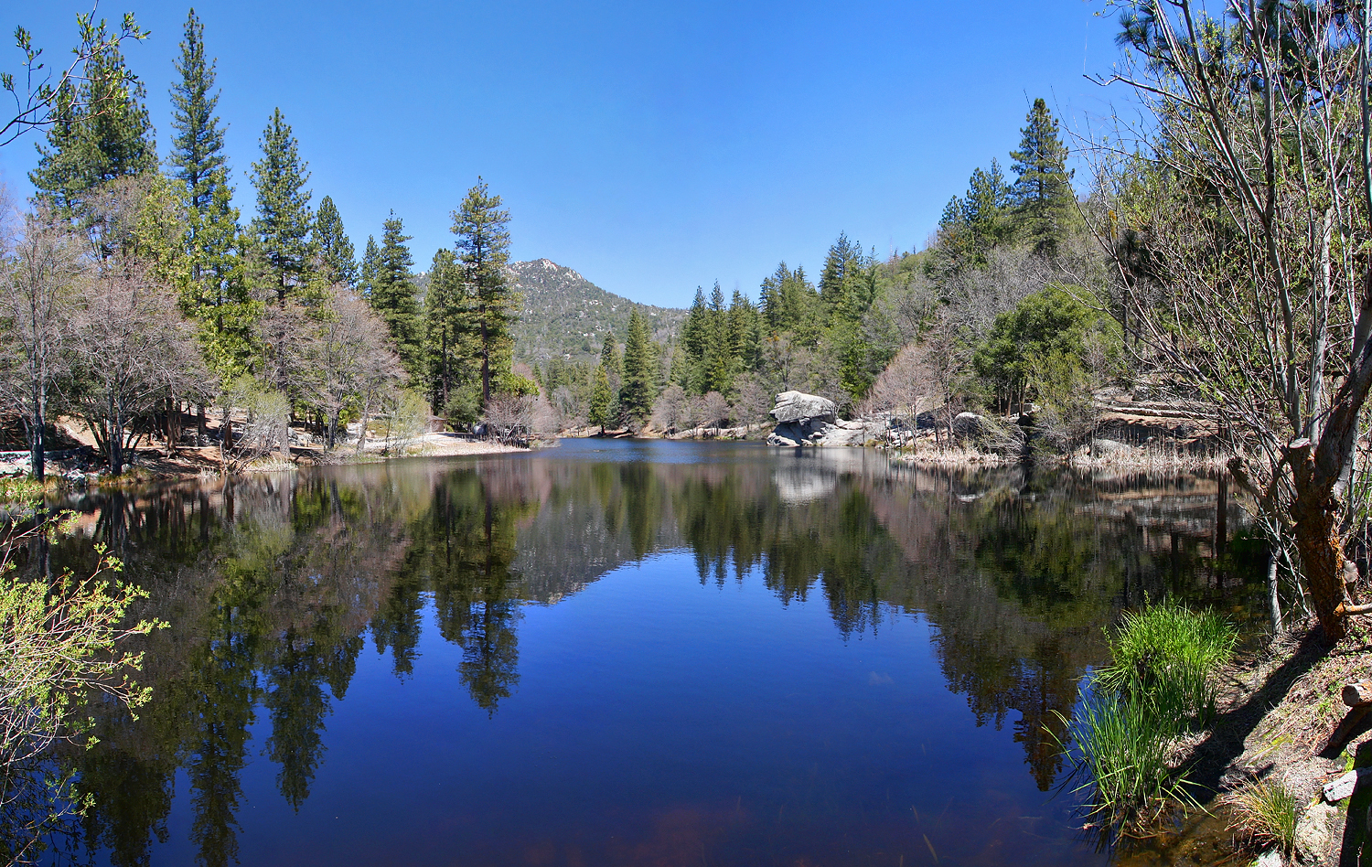
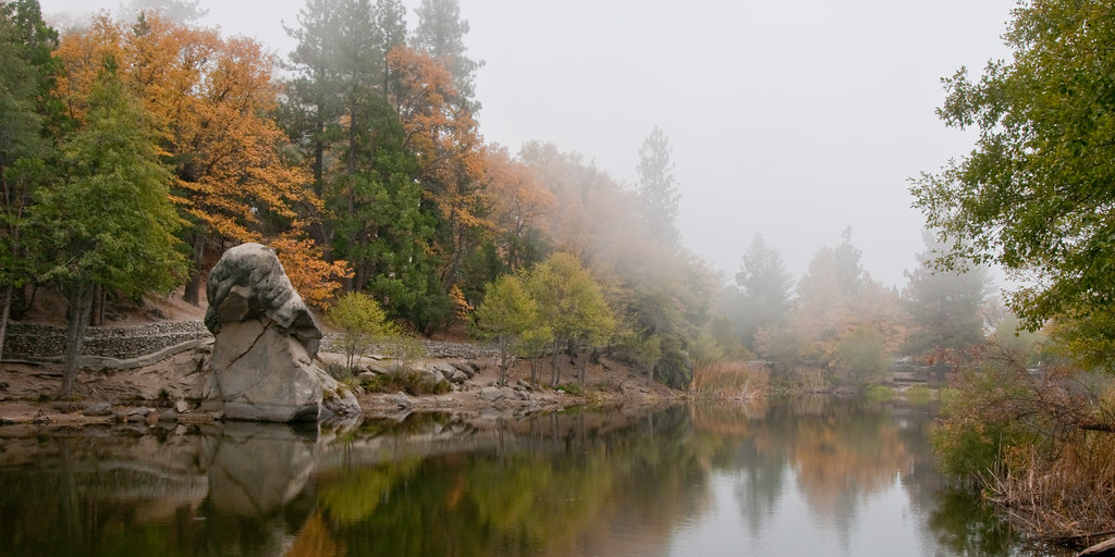
Lake Fulmor Reflections
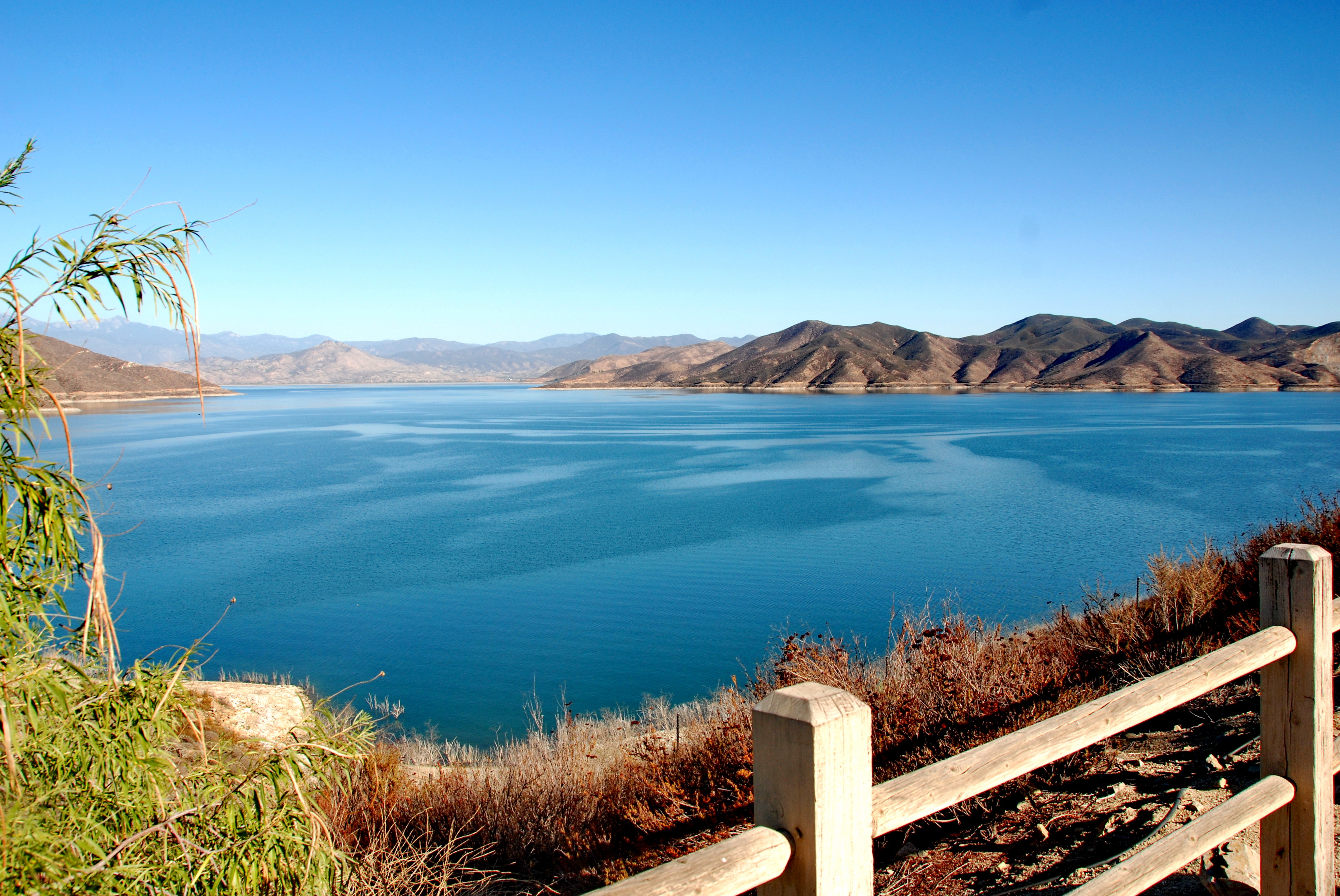
Diamond Valley Lake est.1999
The view on the way up

Camera Roll-95

"An oasis in the desert"
Yucca Valley & Joshua Tree National Park, CA - EXPLORED 5/16/14 - best position #135
#rock on #hiking #scenery #boulder #nature #hand #lookslikeahand

Going to the top!
2013-11-30 16.30.19
2013-11-30 16.02.36

2011-08-01 087
Topographic Map of Rockmere Dr, Idyllwild, CA, USA
Find elevation by address:

Places near Rockmere Dr, Idyllwild, CA, USA:
24725 Logan Creek Rd
Hicksville Pines Bud & Breakfast
52821 Sugar Pine Dr
24639 Ponderosa Dr
25000 Walters Dr
52910 Cedar Dr
53275 Forest Lake Dr
25453 Eagle Nest Dr
52550 Sylvan Way
Foster Lake
52159 Acorn Ln
52080 Acorn Ln
25225 Ca-243
Azalea Trail, Idyllwild, CA, USA
48501 Twin Pines Rd
Twin Pines Road
48185 Twin Pines Rd
Partridge Street
45951 Canyon Rd
46305 Poppet Flats Rd
Recent Searches:
- Elevation of Pasing, Munich, Bavaria, 81241, Germany
- Elevation of 24, Auburn Bay Crescent SE, Auburn Bay, Calgary, Alberta, T3M 0A6, Canada
- Elevation of Denver, 2314, Arapahoe Street, Five Points, Denver, Colorado, 80205, USA
- Elevation of Community of the Beatitudes, 2924, West 43rd Avenue, Sunnyside, Denver, Colorado, 80211, USA
- Elevation map of Litang County, Sichuan, China
- Elevation map of Madoi County, Qinghai, China
- Elevation of 3314, Ohio State Route 114, Payne, Paulding County, Ohio, 45880, USA
- Elevation of Sarahills Drive, Saratoga, Santa Clara County, California, 95070, USA
- Elevation of Town of Bombay, Franklin County, New York, USA
- Elevation of 9, Convent Lane, Center Moriches, Suffolk County, New York, 11934, USA
- Elevation of Saint Angelas Convent, 9, Convent Lane, Center Moriches, Suffolk County, New York, 11934, USA
- Elevation of 131st Street Southwest, Mukilteo, Snohomish County, Washington, 98275, USA
- Elevation of 304, Harrison Road, Naples, Cumberland County, Maine, 04055, USA
- Elevation of 2362, Timber Ridge Road, Harrisburg, Cabarrus County, North Carolina, 28075, USA
- Elevation of Ridge Road, Marshalltown, Marshall County, Iowa, 50158, USA
- Elevation of 2459, Misty Shadows Drive, Pigeon Forge, Sevier County, Tennessee, 37862, USA
- Elevation of 8043, Brightwater Way, Spring Hill, Williamson County, Tennessee, 37179, USA
- Elevation of Starkweather Road, San Luis, Costilla County, Colorado, 81152, USA
- Elevation of 5277, Woodside Drive, Baton Rouge, East Baton Rouge Parish, Louisiana, 70808, USA
- Elevation of 1139, Curtin Street, Shepherd Park Plaza, Houston, Harris County, Texas, 77018, USA