Elevation of River Rd, Millington, MD, USA

Location: United States > Maryland > Kent County > 1, Massey > Millington >

Longitude: -75.862153

Latitude: 39.2637583

Elevation: 10m / 33feet

Barometric Pressure: 101KPa

Elevation Map:

elevation map of River Rd, Millington, MD, USA

Satellite Map:

Satellite map of River Rd, Millington, MD, USA

Related Photos:

kodachrome v500
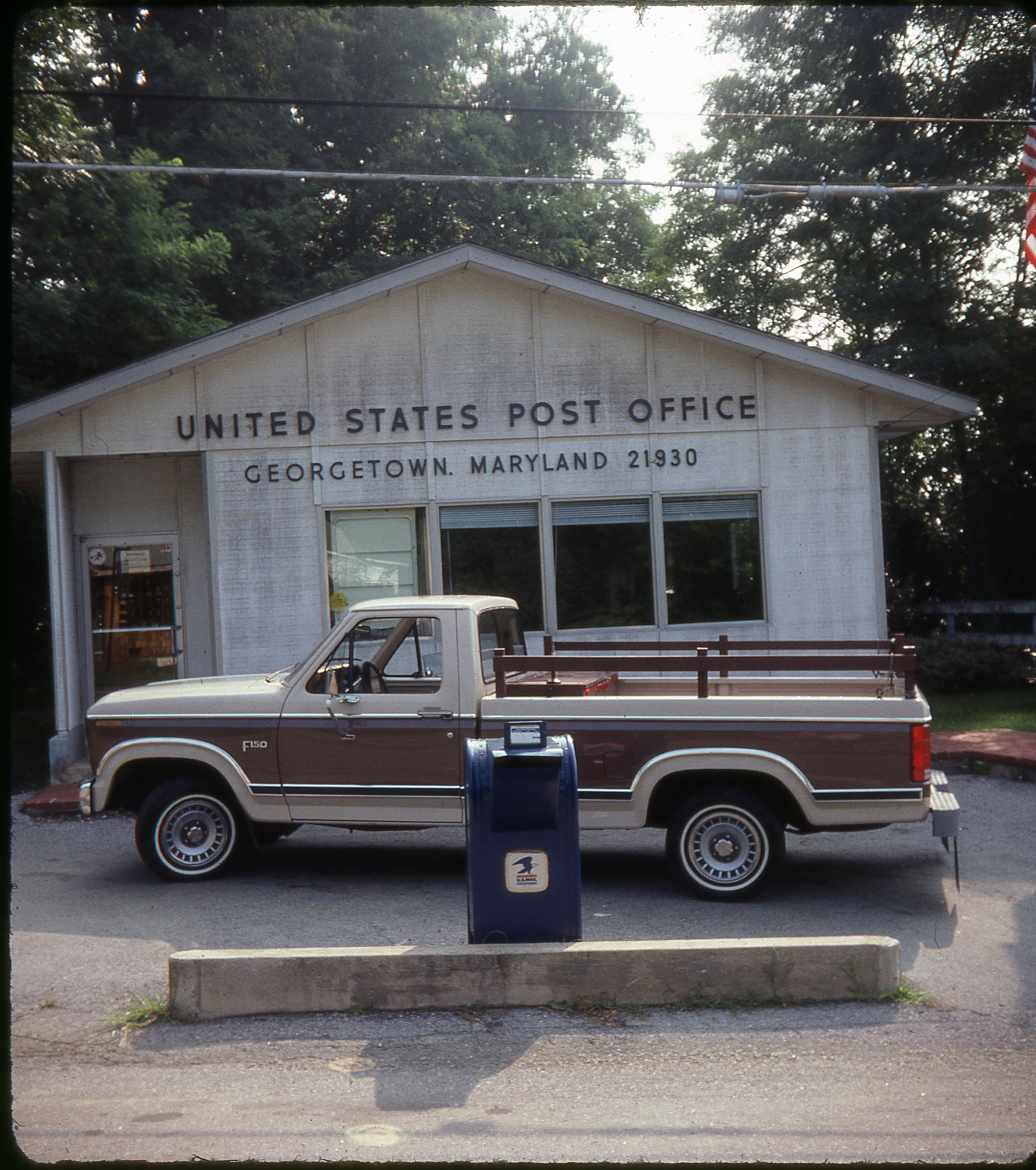
Scan with Epson V500 at 6400 PPI using Color Restore
inflight still md unitedstates maryland aerial drone dji kennedyville quadcopter multirotor djiphantom3professional phantom3professional turnerscreeklanding
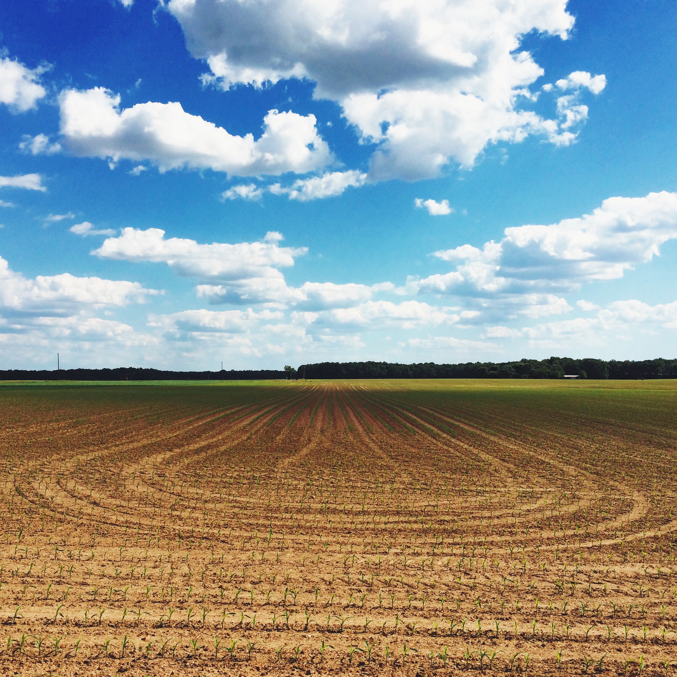
Aerial View of Field - DJI Phantom 3 Pro
road street city st river town md maryland rd sassafrass millington
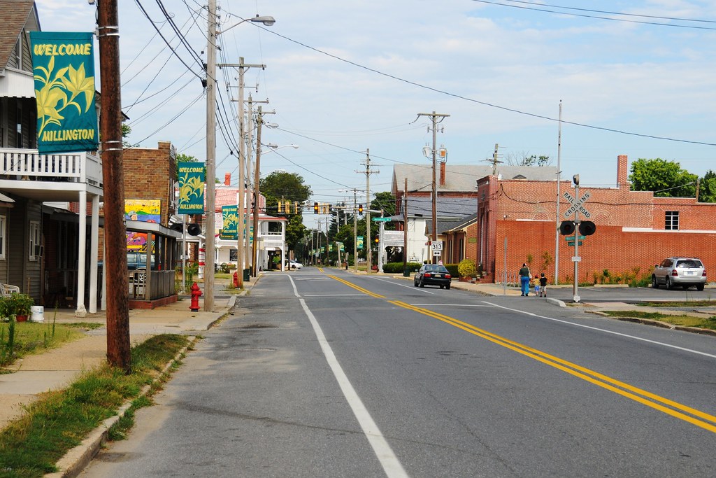
Viewing the intersection of Cypress Street and Sassafrass Street
museum plane airplane airport air maryland easternshore aerodrome massey
Astrodome Refit
view from widow's peak
view toward lily pond
barn vintage furniture auction postcard maryland aerialview crumpton
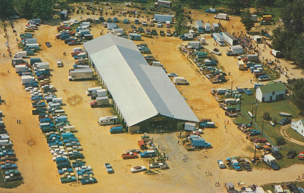
Dixon's Auction Barn and Dixon's Furniture, Inc. - Crumpton, Maryland
insect bee hoverfly wings details strips gold yellow red green brown black orange texture wingveins veins gossamer sunny summer flowers tropicalmilkweed milkweed cellphone phonephoto iphone iphone5s externallens olloclip macro closeup dof bokeh phoneography iphoneography ipad ipaddarkroom apps snapseed nature naturelovers artofnature earthnature abstractnature galena maryland marylandnature iphonenature patterns 365
Bees Wings - Color
chesapeakebayprogram environment unitedstates camera:model=canoneos5dmarkiv exif:lens=ef70200mmf28lusm camera:make=canon geocity geostate exif:focallength=70mm exif:aperture=ƒ56 geo:country=unitedstates exif:isospeed=800 exif:model=canoneos5dmarkiv exif:make=canon
Restored wetlands on a farm in Queen Anne's County, Md.
chesapeakebayprogram environment unitedstates camera:model=canoneos5dmarkiv exif:lens=ef70200mmf28lusm camera:make=canon geocity geostate exif:aperture=ƒ56 geo:country=unitedstates exif:isospeed=800 exif:model=canoneos5dmarkiv exif:focallength=200mm exif:make=canon
Restored wetlands on a farm in Queen Anne's County, Md.
chesapeakebayprogram environment unitedstates exif:isospeed=400 camera:model=canoneos5dmarkiv exif:lens=ef70200mmf28lusm camera:make=canon geocity geostate exif:aperture=ƒ56 geo:country=unitedstates exif:focallength=125mm exif:model=canoneos5dmarkiv exif:make=canon
Restored wetlands on a farm in Queen Anne's County, Md.
chesapeakebayprogram environment unitedstates camera:model=canoneos5dmarkiv exif:lens=ef70200mmf28lusm camera:make=canon geocity geostate exif:aperture=ƒ56 geo:country=unitedstates exif:isospeed=800 exif:model=canoneos5dmarkiv exif:focallength=200mm exif:make=canon
Restored wetlands on a farm in Queen Anne's County, Md.
chesapeakebayprogram environment unitedstates camera:model=canoneos5dmarkiv exif:lens=ef70200mmf28lusm camera:make=canon geocity geostate exif:focallength=160mm exif:isospeed=800 geo:country=unitedstates exif:aperture=ƒ56 exif:model=canoneos5dmarkiv exif:make=canon
Restored wetlands on a farm in Queen Anne's County, Md.
cecilcounty fieldguide habitats kentcounty liliopsida md magnoliophyta maryland monocots monocotyledons plantae sav sassafrasriver vallisneriaamericana waterbodies angiosperms baygrasses environment nature plants plantsgallery submergedaquaticvegetationsav underwatergrasses wildcelery wildlife unitedstates exif:focallength=24mm geocity camera:make=nikon exif:make=nikon exif:aperture=ƒ50 geo:country=unitedstates exif:model=nikond60 camera:model=nikond60 geostate exif:lens=180550mmf3556 exif:isospeed=800
Invasive Plant Removal on Maryland's Sassafras River
agriculture business covercrops environment farm farming food unitedstates camera:model=canoneos5dmarkii camera:make=canon exif:aperture=ƒ40 geostate exif:model=canoneos5dmarkii geo:country=unitedstates exif:focallength=195mm geocity exif:isospeed=100 exif:lens=ef70200mmf28lusm exif:make=canon
Chester River Field Research Station at Chino Farms in Queen Anne's County, Md.
field animal barn rural pen fence landscape mammal pig farm unitedstatesofamerica maryland places prairie swine piglet hog paddock domesticated kennedyville crowfarm
Three Little Pigs
mountharmon plantation maryland easternshore md dirt road street path trees tree lined leading lines spooky blackandwhite bnw bw
Plantation Drive
Mason Dixon Rally 2010
environment unitedstates camera:make=sony exif:focallength=88mm geostate geo:country=unitedstates exif:model=dscrx100m4 camera:model=dscrx100m4 exif:isospeed=200 geocity exif:aperture=ƒ10 exif:lens=2470mmf1828 exif:make=sony
Chester River Field Research Station at Chino Farms in Queen Anne's County, Md.
Mason Dixon Rally 2010
A few times a year we head out across the Bay to the Eastern Shore of Maryland. As someone who thrives in an urban environment, the trip is an interesting mix of peaceful beauty and anxiety-producing nothingness. I present this image as an example.
Mason Dixon Rally 2010
geocaching julia meadow maryland galena
Geocaching in Maryland
square squareformat amaro iphoneography instagramapp uploaded:by=instagram foursquare:venue=513de491e4b07db93176347a
Lakes and pools adorned with lotuses
chesterriver md maryland queenannescounty waterbodies environment unitedstates camera:model=canoneos5dmarkiv exif:model=canoneos5dmarkiv camera:make=canon exif:focallength=220mm geostate exif:isospeed=320 geo:country=unitedstates geocity exif:aperture=ƒ80 exif:lens=ef100400mmf4556lisusm exif:make=canon
Andover Flatwoods Natural Area in Queen Anne's County, Md.
md kennedyville urievillelake
Urieville Lake
sassafrasriver georgetownmaryland thekittyknighthouse
almost sunset
chesapeakebayprogram environment unitedstates camera:model=canoneos5dmarkiv exif:lens=ef70200mmf28lusm camera:make=canon geocity geostate exif:aperture=ƒ56 geo:country=unitedstates exif:isospeed=800 exif:focallength=78mm exif:model=canoneos5dmarkiv exif:make=canon
Restored wetlands on a farm in Queen Anne's County, Md.