Elevation of 1, Massey, MD, USA
Location: United States > Maryland > Kent County >
Longitude: -75.830153
Latitude: 39.2955469
Elevation: 17m / 56feet
Barometric Pressure: 101KPa
Elevation Map:
Satellite Map:
Related Photos:
Scan with Epson V500 at 6400 PPI using Color Restore
St. Francis Xavier Mission, 1704
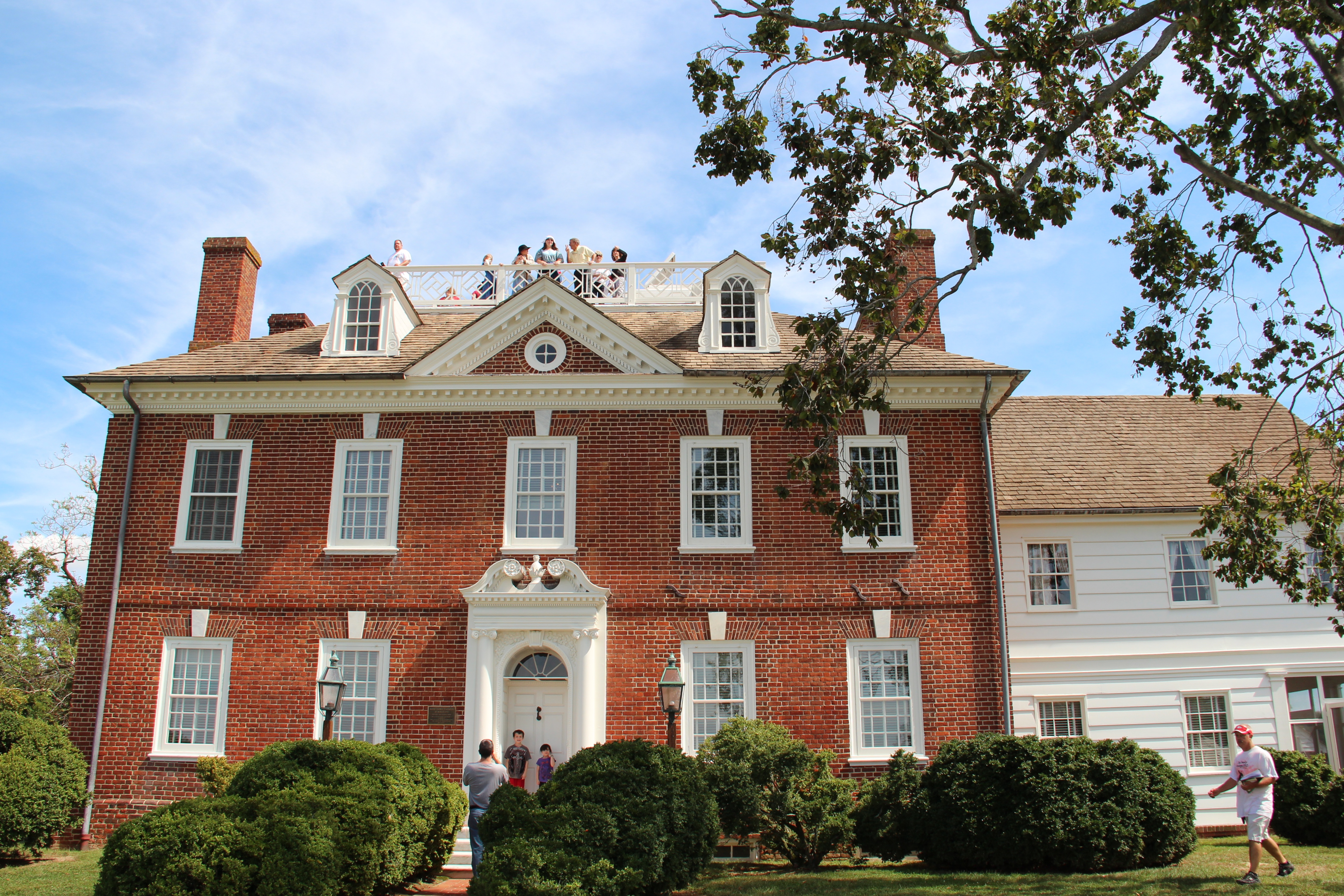
one more view of the front
Baby It's Cold Outside

Viewing the intersection of Cypress Street and Sassafrass Street
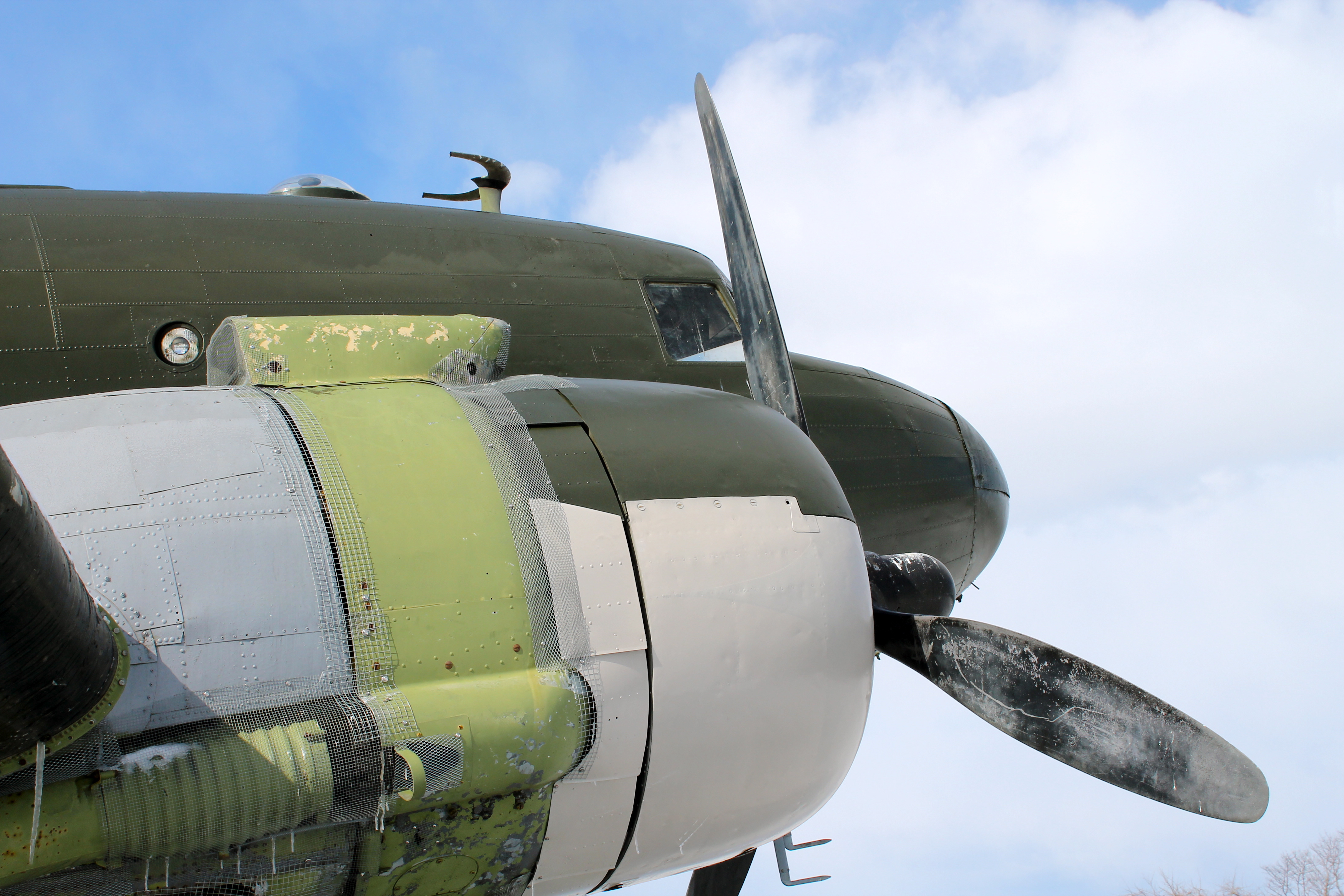
Astrodome Refit
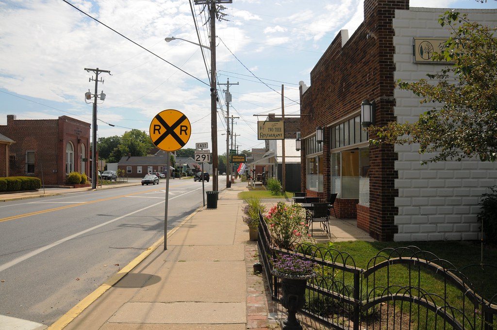
Two Tree Restaurant and view down Cypress Street
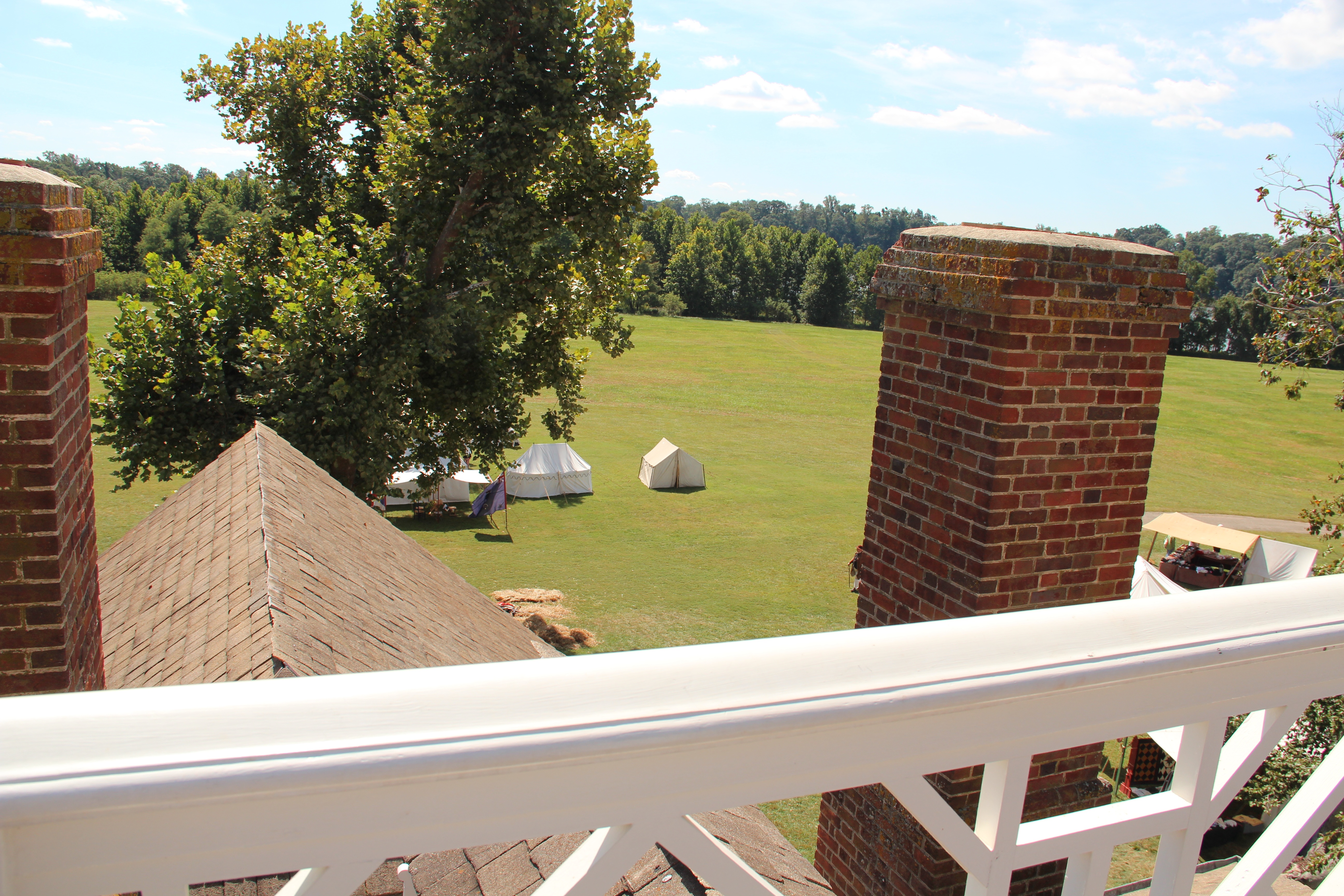
view from widow's peak
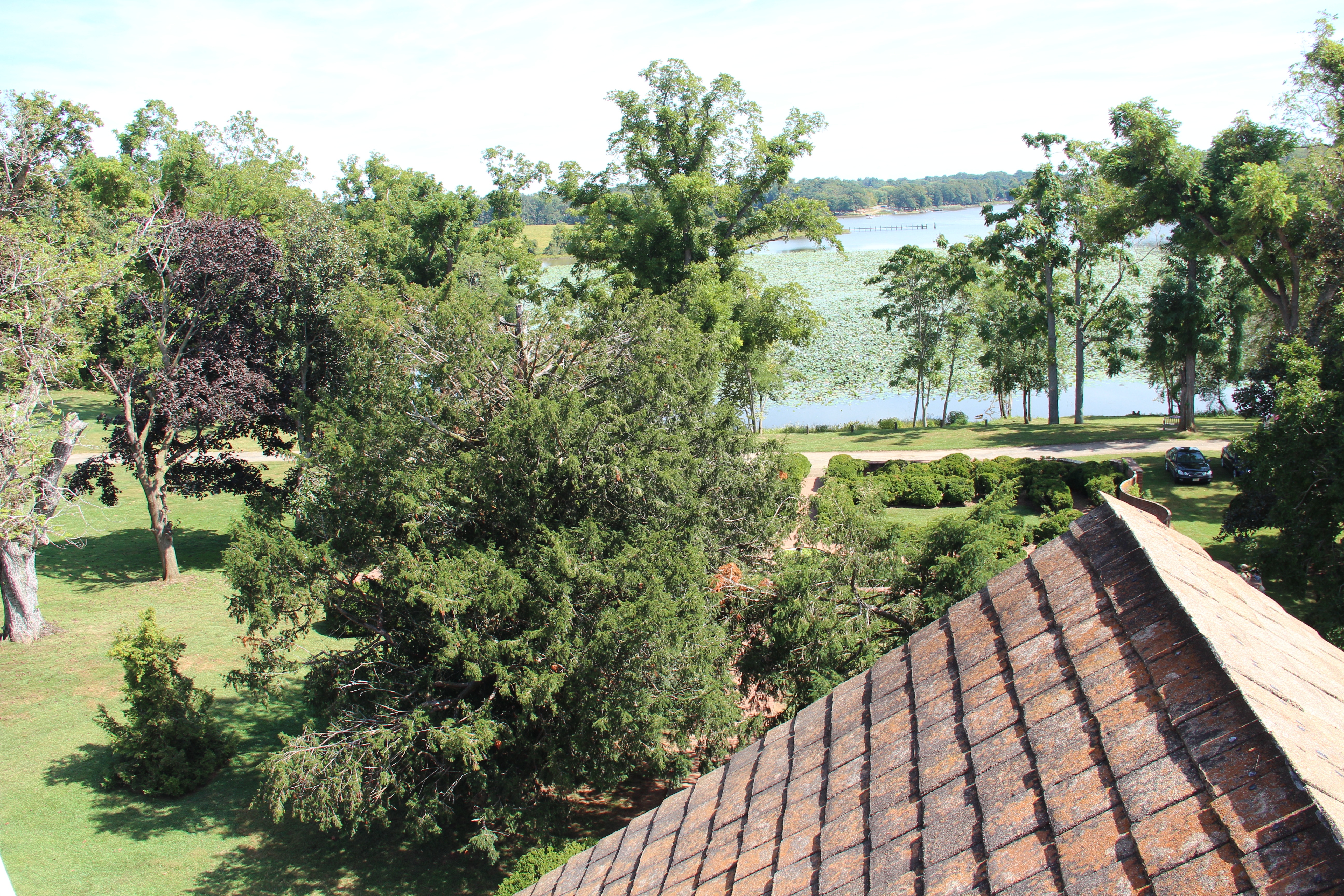
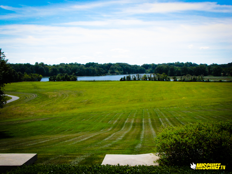
view toward lily pond
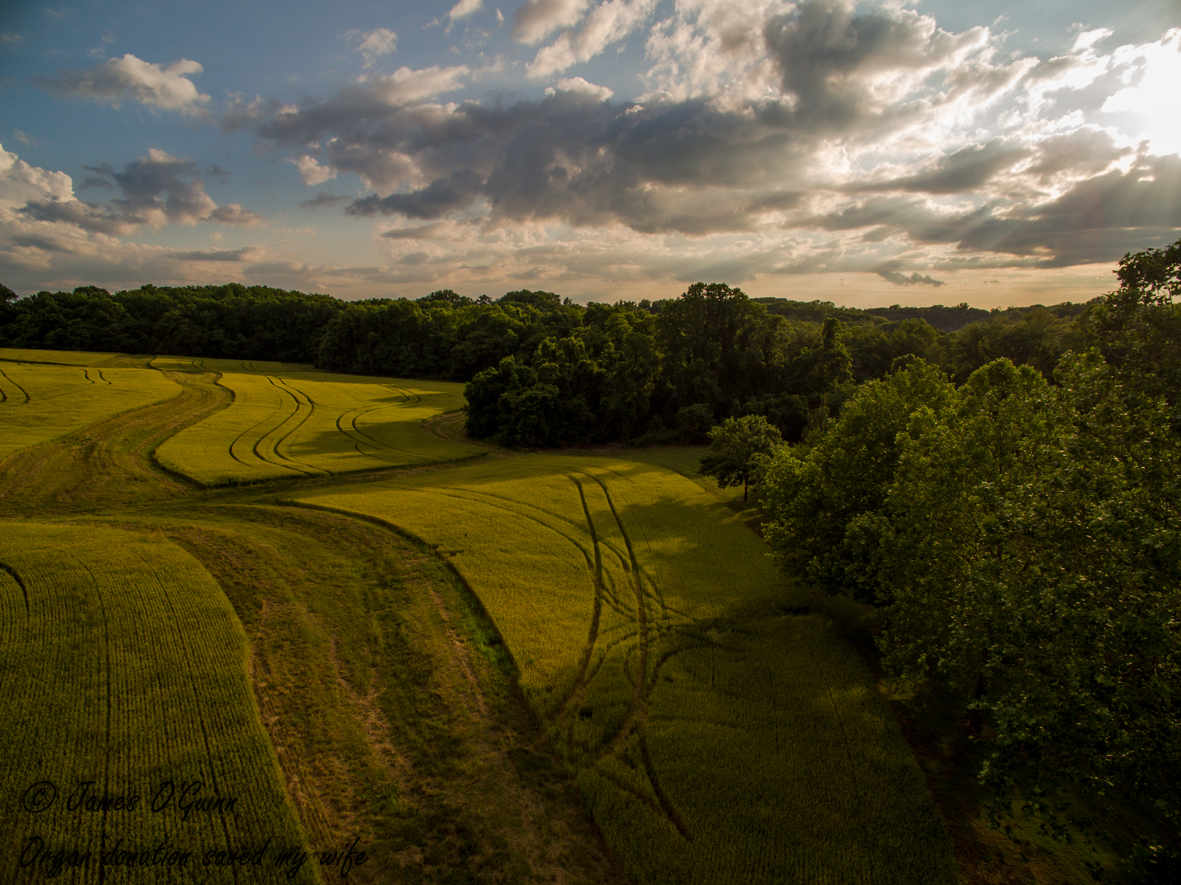
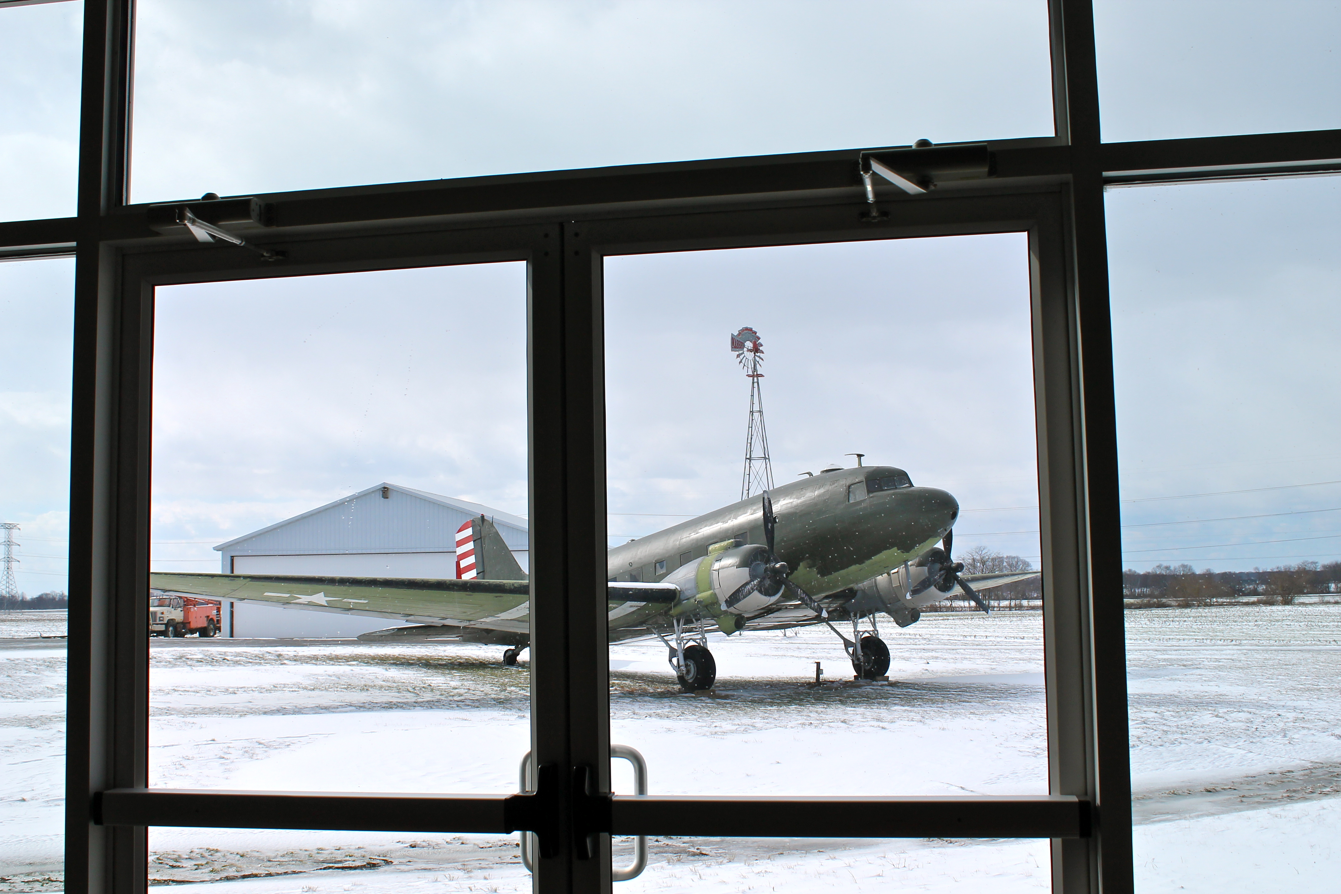
Aerial View of Field - DJI Phantom 3 Pro
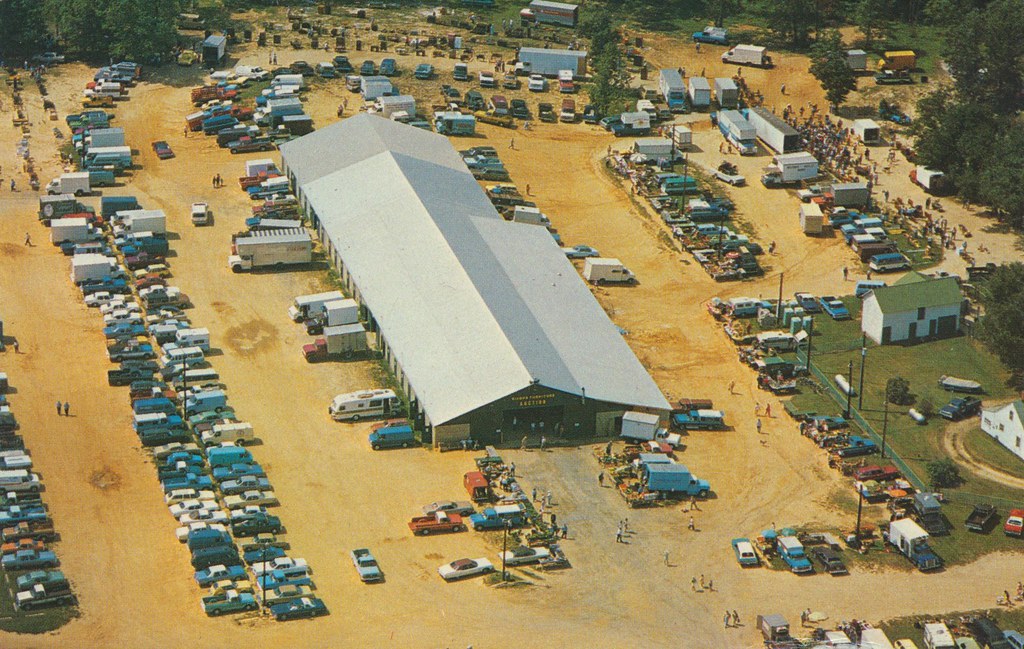
Dixon's Auction Barn and Dixon's Furniture, Inc. - Crumpton, Maryland
Mason Dixon Rally 2010
Mason Dixon Rally 2010
Mason Dixon Rally 2010

Mason Dixon Rally 2010

Lakes and pools adorned with lotuses
Mason Dixon Rally 2010
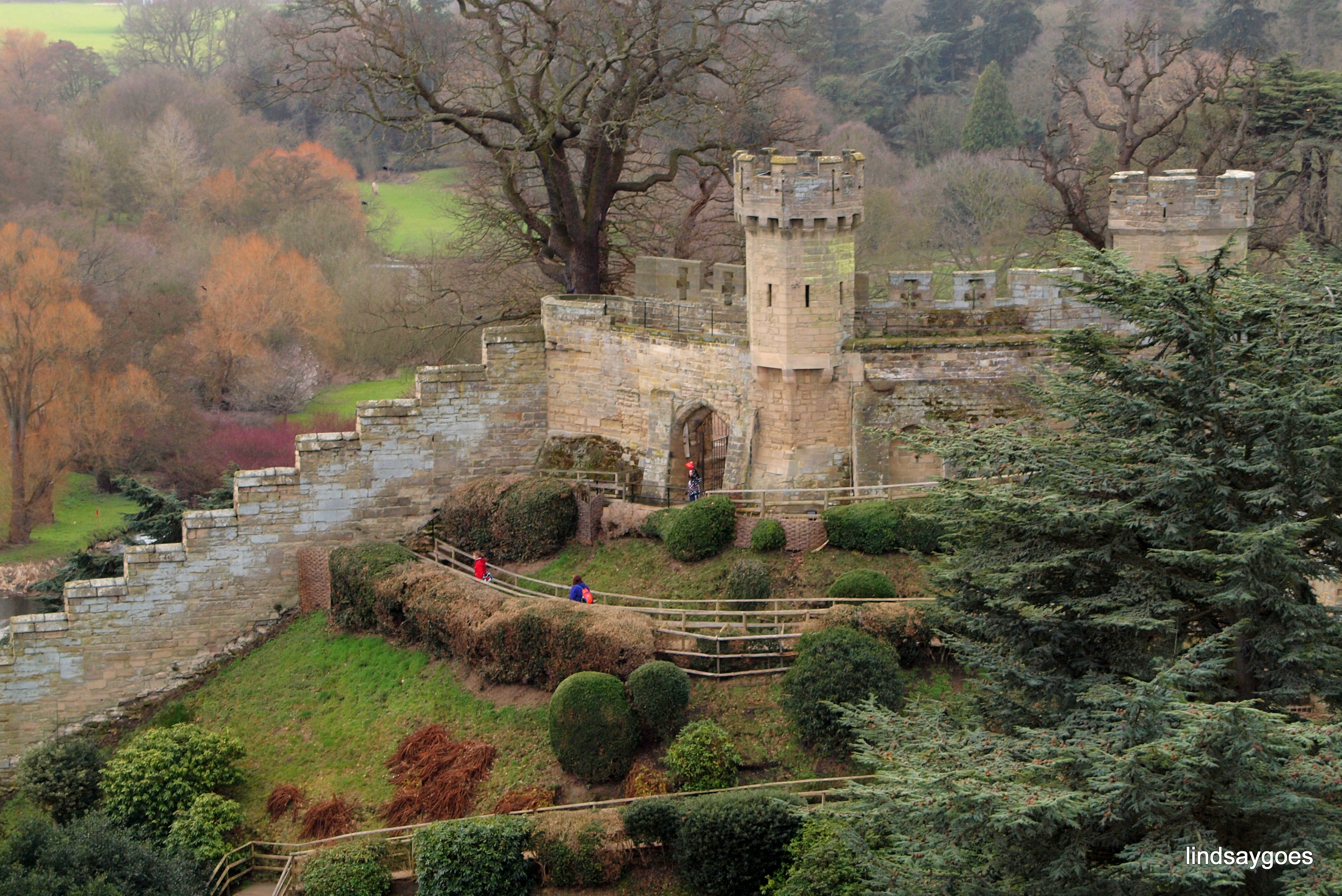
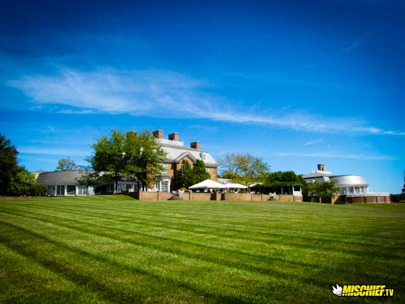
Warwick Castle

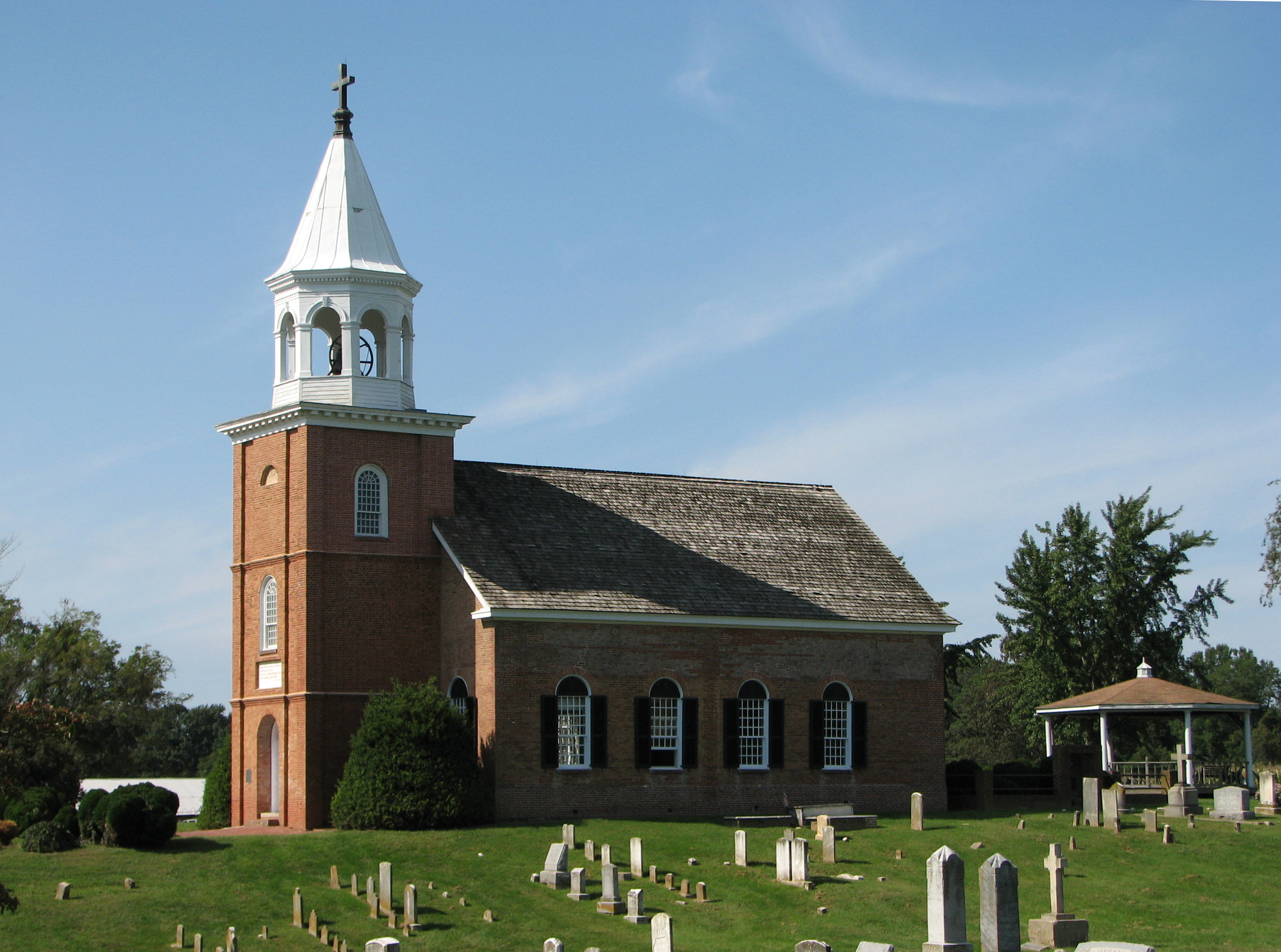
Old Bohemia (aka St. Francis Xavier Shrine)

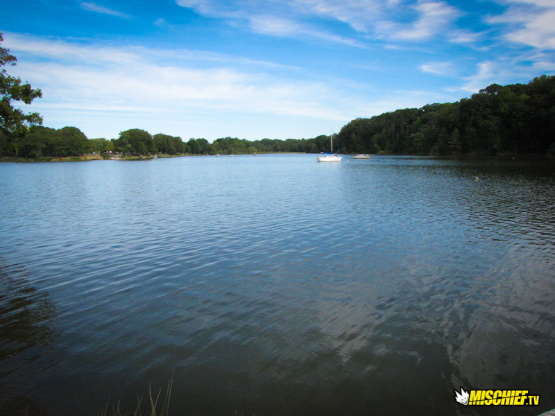
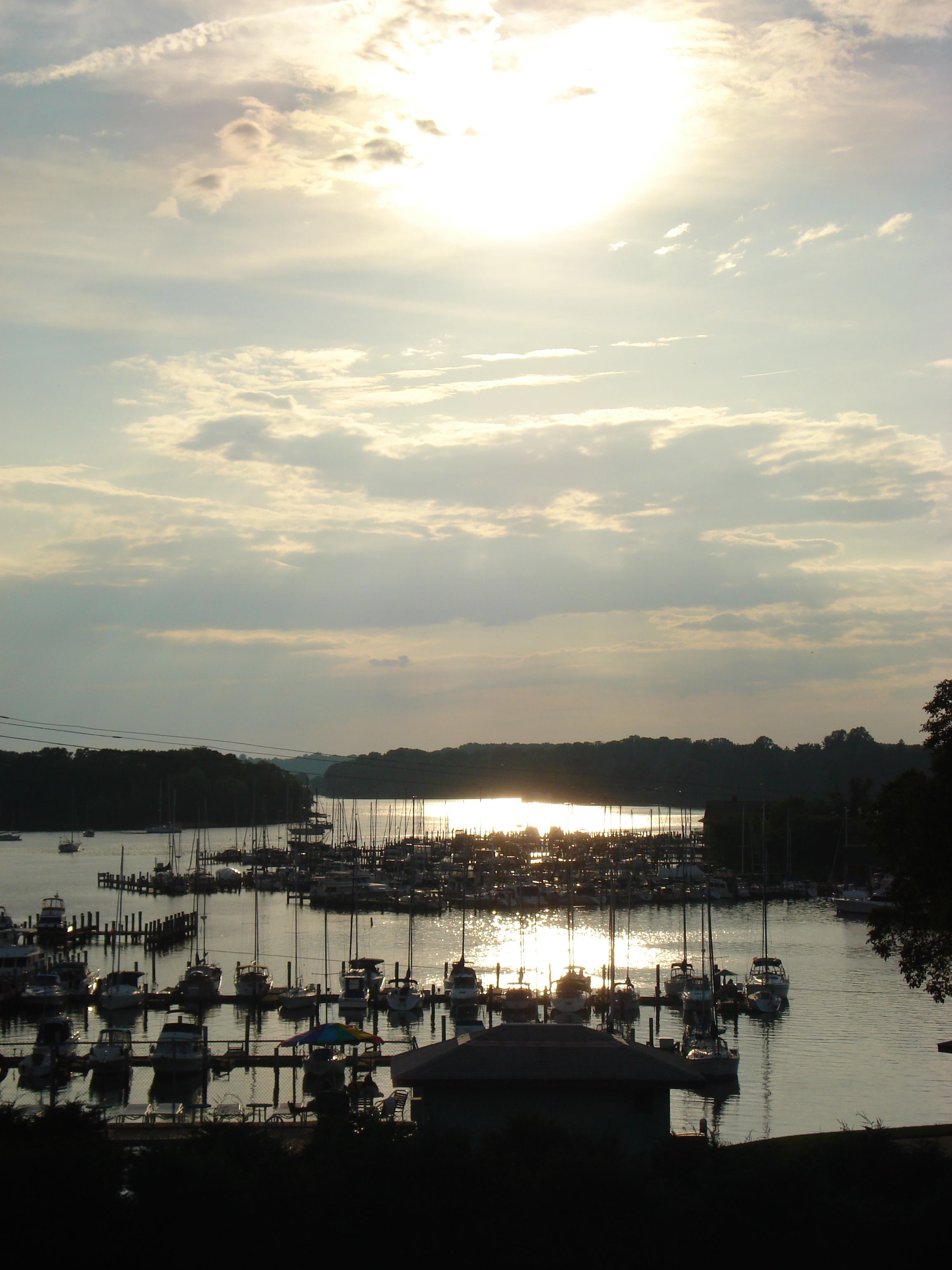
sunset on the Chesapeake (Maryland pt 2)

Geocaching in Maryland
Mason Dixon Rally 2010
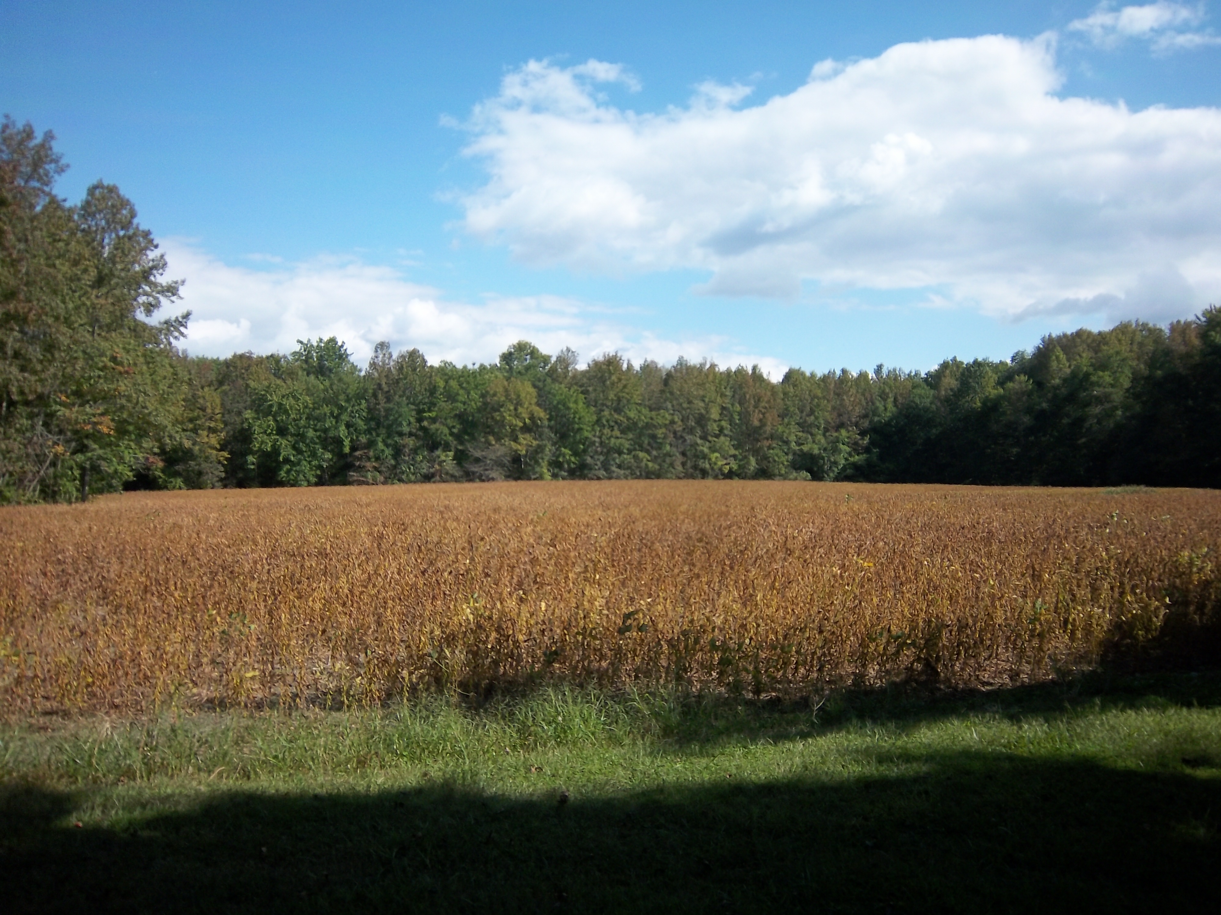
soybean field

White-tailed deer in field, Merkle Wildlife Sanctuary

Goose Hunting at Chino Farms in Chestertown, Md.

Clayton, DE
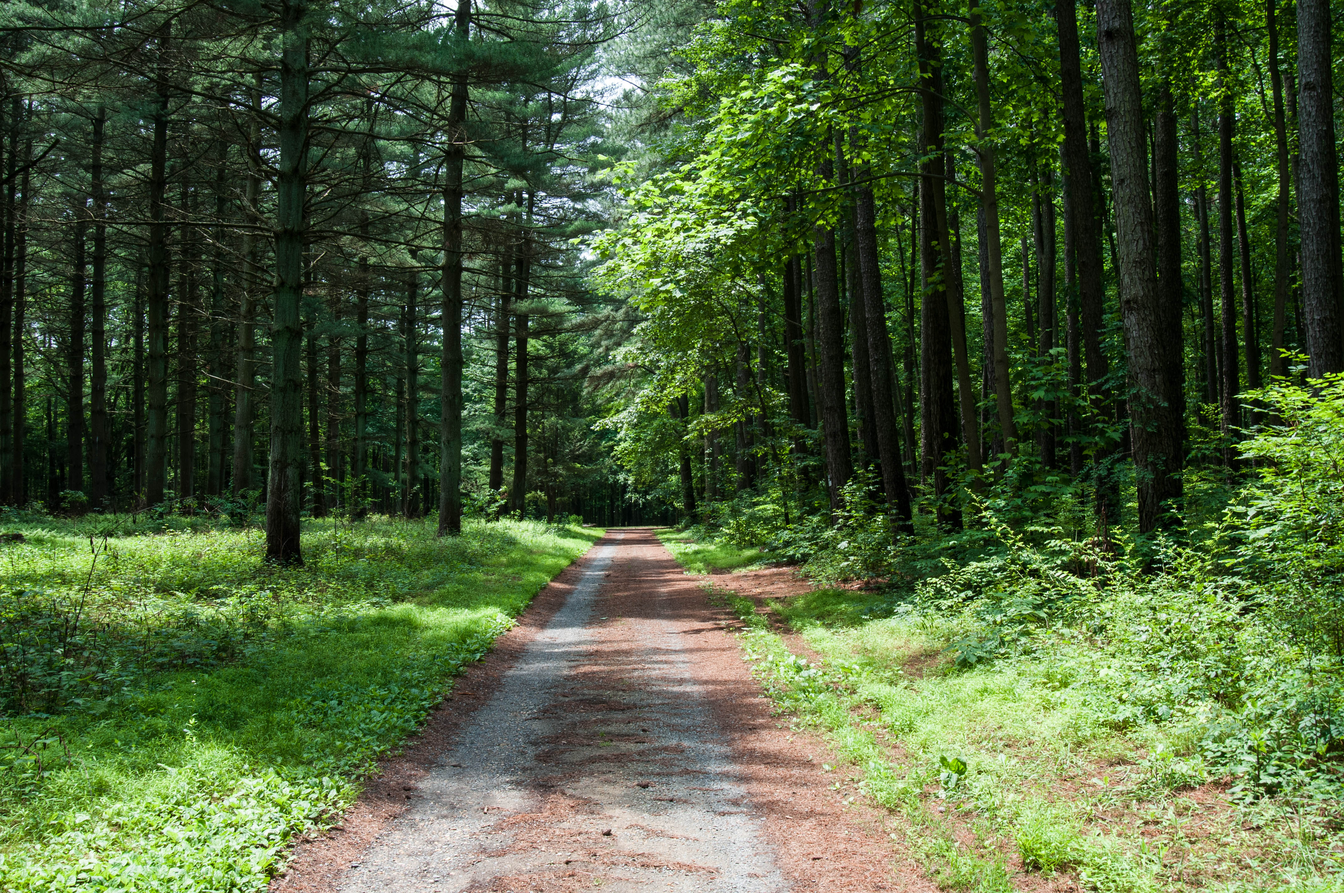
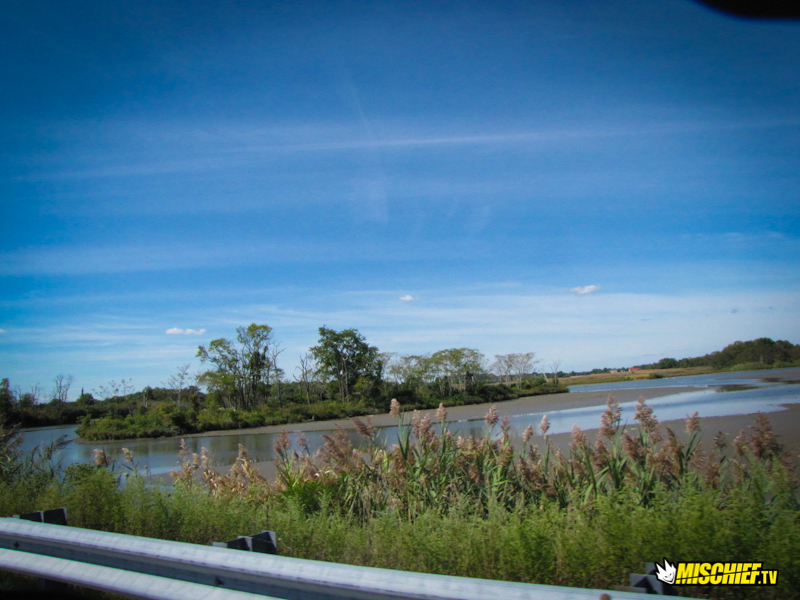
The Start to a Beautiful Walk

Goose Hunting at Chino Farms in Chestertown, Md.
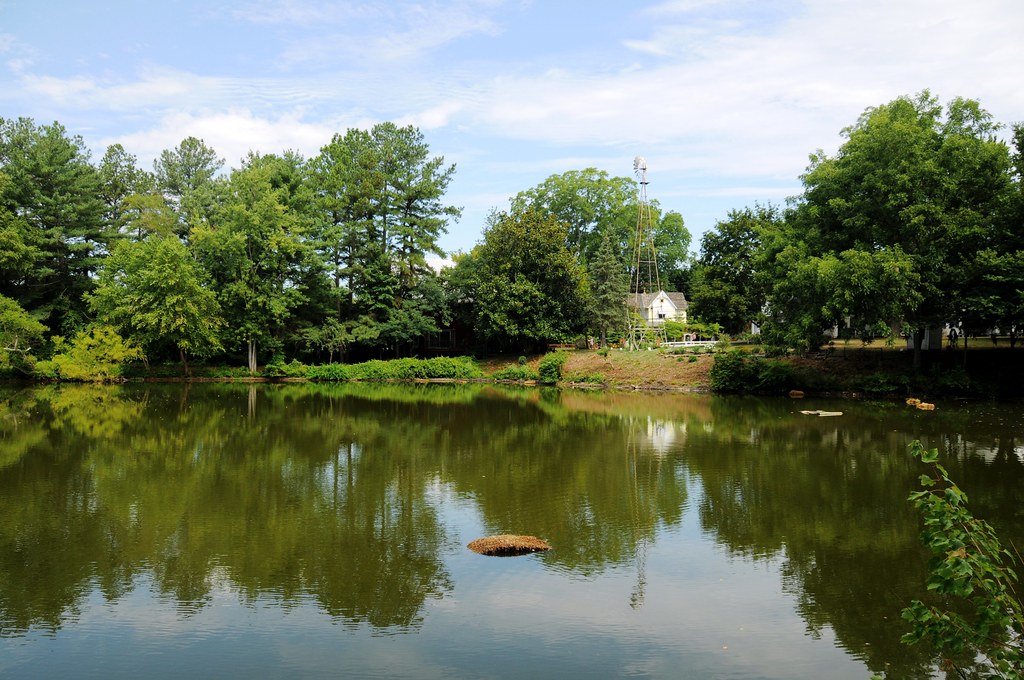
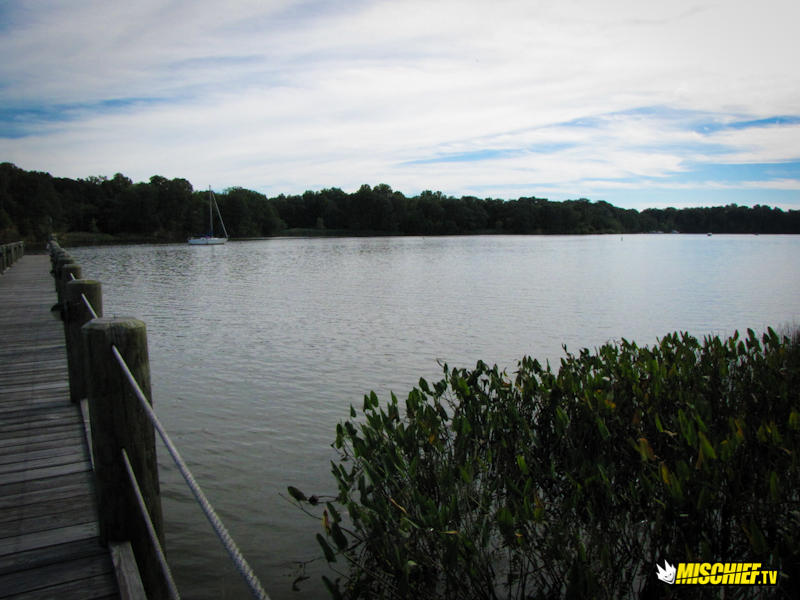
Mill Pond
almost sunset
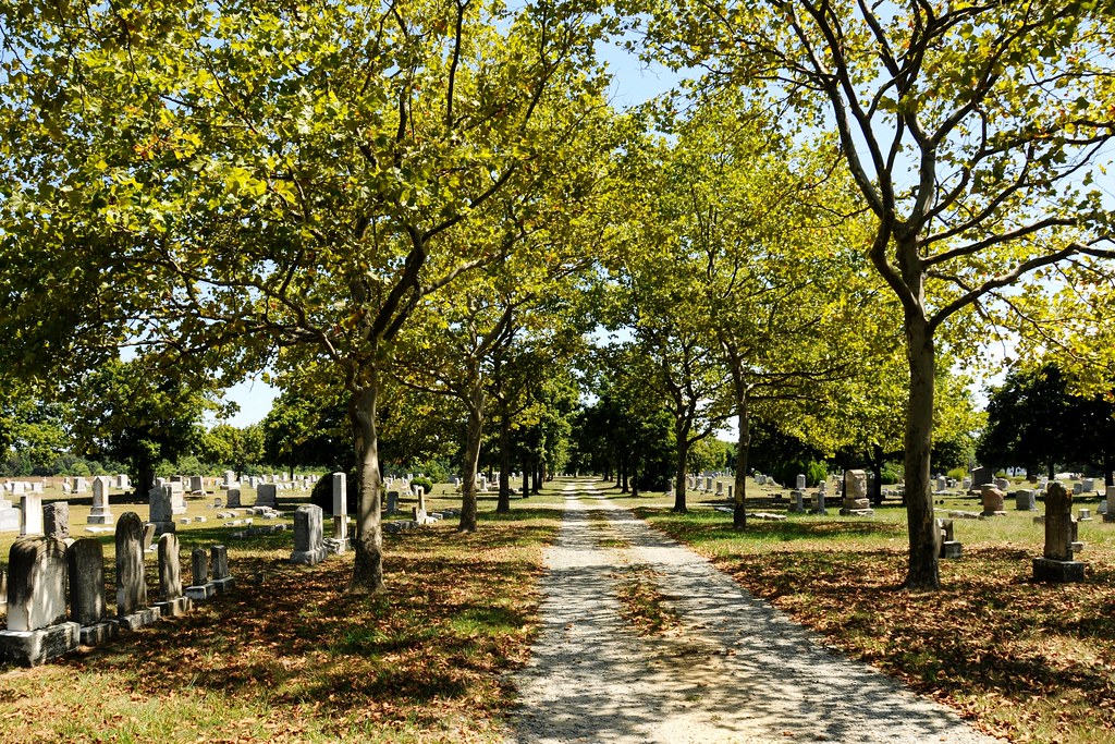
Crumpton Cemetery
Topographic Map of 1, Massey, MD, USA
Find elevation by address:

Places in 1, Massey, MD, USA:
Places near 1, Massey, MD, USA:
Massey Rd, Massey, MD, USA
422 Cypress St
Millington
Sassafras St, Millington, MD, USA
32167 River Rd
234 Sassafras St
Peacock Corner Rd, Millington, MD, USA
320 River Rd
500 Lime Landing Rd
Lime Landing Rd, Millington, MD, USA
31658 W Edge Rd
13827 Duck Hollow Dr
13824 Duck Hollow Dr
13840 Duck Hollow Dr
Shorewood Rd, Galena, MD, USA
Galena
14120 Roberts Dr
Golts
Chesterville Forest Rd, Millington, MD, USA
Roberts Dr, Golts, MD, USA
Recent Searches:
- Elevation of Corso Fratelli Cairoli, 35, Macerata MC, Italy
- Elevation of Tallevast Rd, Sarasota, FL, USA
- Elevation of 4th St E, Sonoma, CA, USA
- Elevation of Black Hollow Rd, Pennsdale, PA, USA
- Elevation of Oakland Ave, Williamsport, PA, USA
- Elevation of Pedrógão Grande, Portugal
- Elevation of Klee Dr, Martinsburg, WV, USA
- Elevation of Via Roma, Pieranica CR, Italy
- Elevation of Tavkvetili Mountain, Georgia
- Elevation of Hartfords Bluff Cir, Mt Pleasant, SC, USA