Elevation of Fords Landing Ln, Millington, MD, USA
Location: United States > Maryland > Kent County > 1, Massey > Millington >
Longitude: -75.889563
Latitude: 39.240767
Elevation: 14m / 46feet
Barometric Pressure: 101KPa
Elevation Map:
Satellite Map:
Related Photos:
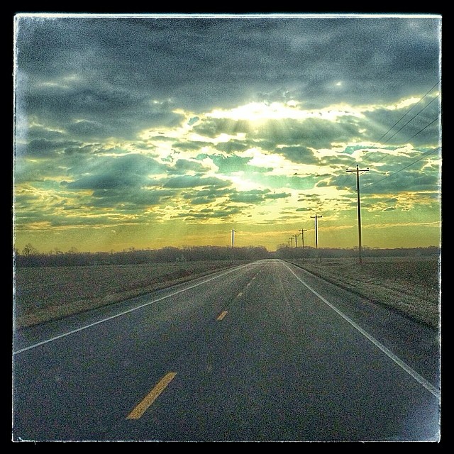
Image created with #Snapseed
IMG_0361.JPG
IMG_0362.JPG

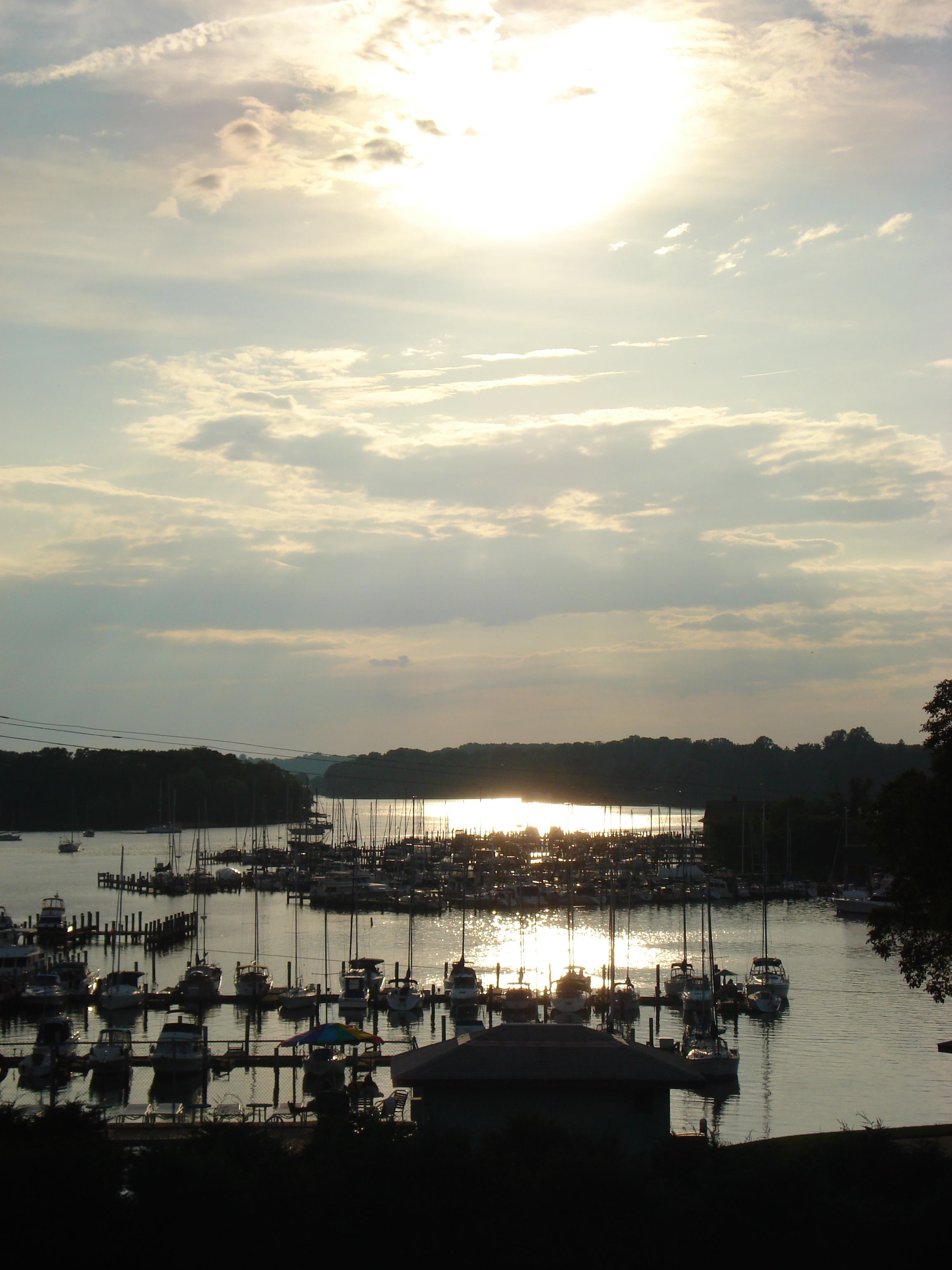
A few times a year we head out across the Bay to the Eastern Shore of Maryland. As someone who thrives in an urban environment, the trip is an interesting mix of peaceful beauty and anxiety-producing nothingness. I present this image as an example.

Lakes and pools adorned with lotuses

Restored wetlands on a farm in Queen Anne's County, Md.

Restored wetlands on a farm in Queen Anne's County, Md.

Urieville Lake

Falling Down
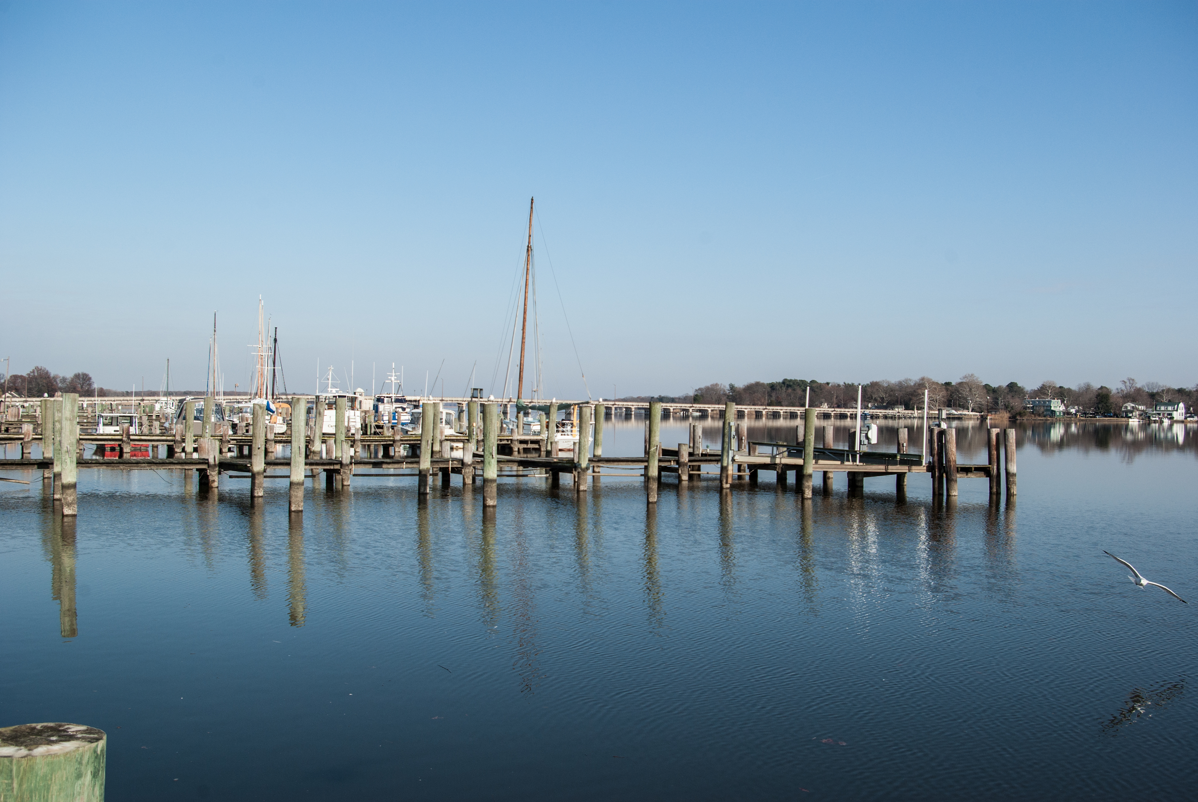
Chester River

Restored wetlands on a farm in Queen Anne's County, Md.

Restored wetlands on a farm in Queen Anne's County, Md.

Restored wetlands on a farm in Queen Anne's County, Md.

Restored wetlands on a farm in Queen Anne's County, Md.

Restored wetlands on a farm in Queen Anne's County, Md.

Restored wetlands on a farm in Queen Anne's County, Md.

Restored wetlands on a farm in Queen Anne's County, Md.

Restored wetlands on a farm in Queen Anne's County, Md.

Britland Farm, Maryland

sunset on the Chesapeake (Maryland pt 2)
almost sunset
Topographic Map of Fords Landing Ln, Millington, MD, USA
Find elevation by address:

Places near Fords Landing Ln, Millington, MD, USA:
205 Fords Landing Ln
320 Squires Ln
211 Ribera Ln
Chesterville Forest Rd, Millington, MD, USA
31658 W Edge Rd
Lime Landing Rd, Millington, MD, USA
500 Lime Landing Rd
3rd St, Crumpton, MD, USA
320 River Rd
204 Front St
32167 River Rd
7, Crumpton
234 Sassafras St
Sassafras St, Millington, MD, USA
Millington
422 Cypress St
Peacock Corner Rd, Millington, MD, USA
1, Massey
Massey Rd, Massey, MD, USA
Galena
Recent Searches:
- Elevation of Corso Fratelli Cairoli, 35, Macerata MC, Italy
- Elevation of Tallevast Rd, Sarasota, FL, USA
- Elevation of 4th St E, Sonoma, CA, USA
- Elevation of Black Hollow Rd, Pennsdale, PA, USA
- Elevation of Oakland Ave, Williamsport, PA, USA
- Elevation of Pedrógão Grande, Portugal
- Elevation of Klee Dr, Martinsburg, WV, USA
- Elevation of Via Roma, Pieranica CR, Italy
- Elevation of Tavkvetili Mountain, Georgia
- Elevation of Hartfords Bluff Cir, Mt Pleasant, SC, USA