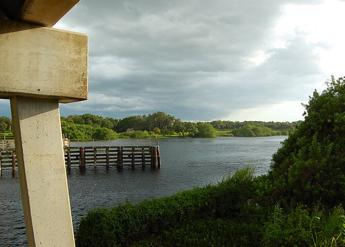
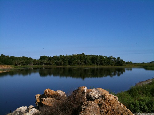
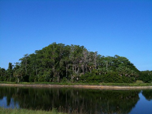
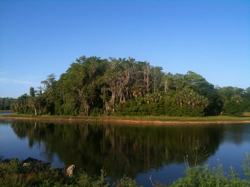
Elevation of River Boat Bend, Alva, FL, USA
Location: United States > Florida > Lee County > Alva >
Longitude: -81.683429
Latitude: 26.724112
Elevation: 3m / 10feet
Barometric Pressure: 0KPa
Related Photos:
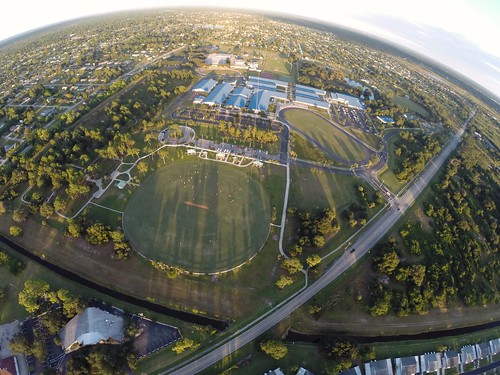
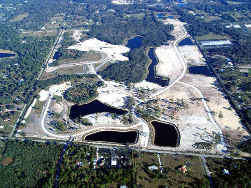
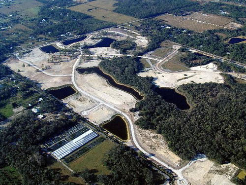
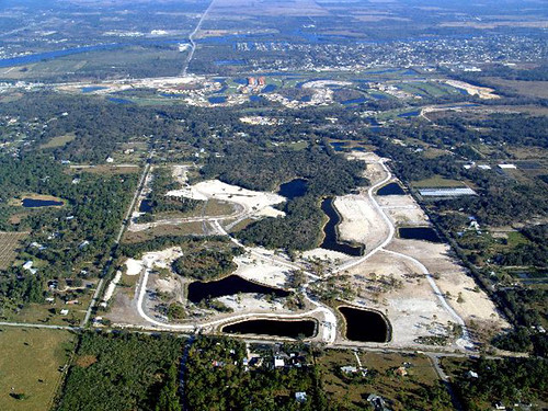
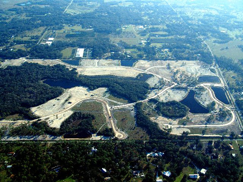
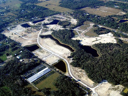
A view from Above. I used a a GoPro Hero 3+ Black Edition, a HQ Invento 2 meter Delta with 1000' 150 Lbs. Kevlar line on a Brooxes Picavet. Veterans Park, Lehigh Acres, FL. (10/23/2015).
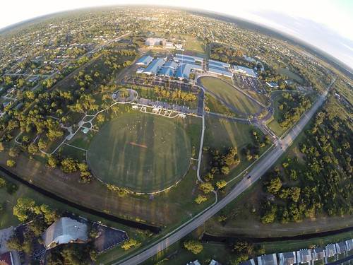
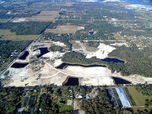
A view from above. I used a GoPro Hero 3+ Black Edition a HQ Invento 2 Meter Delta with 1000 ft. 150 Lbs. Kevlar line.
Topographic Map of River Boat Bend, Alva, FL, USA
Find elevation by address:

Places near River Boat Bend, Alva, FL, USA:
N River Rd, Alva, FL, USA
18110 Interlochen Ln
15910 Rivercreek Ct
Olga
Old Olga Rd, Fort Myers, FL, USA
14905 Wise Way
14181 Fl-78
21591 Claytor Rd
17780 Wayside Bnd
Parkside At Babcock Ranch By Pulte Homes
19551 Goin Outback Dr
Founders Square At Babcock Ranch
Babcock Ranch, Florida
16927 Bridle Trail
17301 Deuce Rd
Boardwalk Loop
19710 Honey Bear Ln
10910 Sharon Dr
43322 Water Bird Wy
Freeland Lane
Recent Searches:
- Elevation map of Greenland, Greenland
- Elevation of Sullivan Hill, New York, New York, 10002, USA
- Elevation of Morehead Road, Withrow Downs, Charlotte, Mecklenburg County, North Carolina, 28262, USA
- Elevation of 2800, Morehead Road, Withrow Downs, Charlotte, Mecklenburg County, North Carolina, 28262, USA
- Elevation of Yangbi Yi Autonomous County, Yunnan, China
- Elevation of Pingpo, Yangbi Yi Autonomous County, Yunnan, China
- Elevation of Mount Malong, Pingpo, Yangbi Yi Autonomous County, Yunnan, China
- Elevation map of Yongping County, Yunnan, China
- Elevation of North 8th Street, Palatka, Putnam County, Florida, 32177, USA
- Elevation of 107, Big Apple Road, East Palatka, Putnam County, Florida, 32131, USA
- Elevation of Jiezi, Chongzhou City, Sichuan, China
- Elevation of Chongzhou City, Sichuan, China
- Elevation of Huaiyuan, Chongzhou City, Sichuan, China
- Elevation of Qingxia, Chengdu, Sichuan, China
- Elevation of Corso Fratelli Cairoli, 35, Macerata MC, Italy
- Elevation of Tallevast Rd, Sarasota, FL, USA
- Elevation of 4th St E, Sonoma, CA, USA
- Elevation of Black Hollow Rd, Pennsdale, PA, USA
- Elevation of Oakland Ave, Williamsport, PA, USA
- Elevation of Pedrógão Grande, Portugal
