Elevation of Freeland Lane, Freeland Ln, Punta Gorda, FL, USA
Location: United States > Florida > Charlotte County > Punta Gorda >

Longitude: -81.761493

Latitude: 26.800668

Elevation: 9m / 30feet

Barometric Pressure: 101KPa

Elevation Map:

elevation map of Freeland Lane, Freeland Ln, Punta Gorda, FL, USA
Satellite Map:

Satellite map of Freeland Lane, Freeland Ln, Punta Gorda, FL, USA
Related Photos:

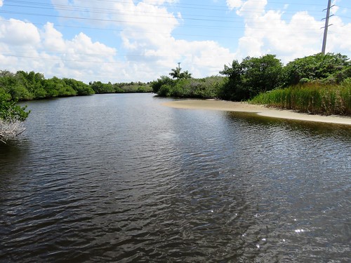
orangeriver manateepark cityoffortmyers leecounty florida usa prout geraldwayneprout canon canonpowershotsx60hs powershot sx60 photographed photography orange river manatee park fortmyers fort lee county southflorida southwestflorida discoverleecounty
Orange River
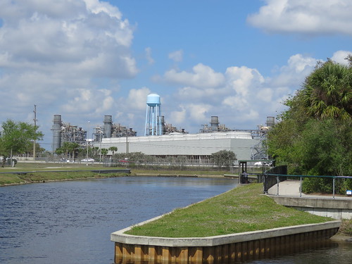
floridapowerandlightcompany manateepark cityoffortmyers leecounty florida usa prout geraldwayneprout canon canonpowershotsx60hs powershot sx60 photographed photography digital manatee park fortmyers lee county electrical generation power light dischargecanal coolingwater discoverleecounty
Florida Power and Light Company
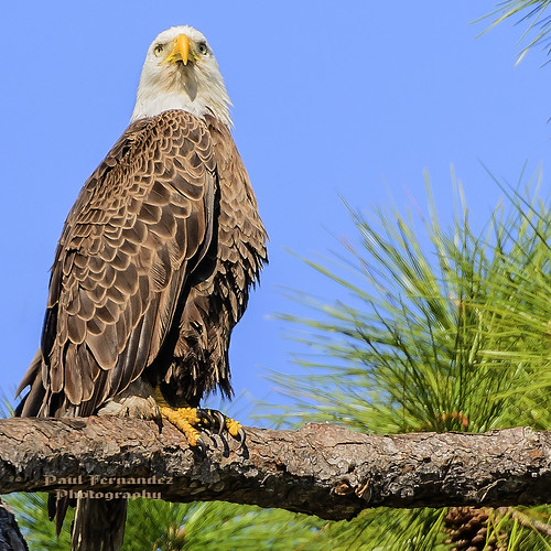
florida baldeagle northfortmyers northftmyers eaglebald internetcamera internetcam
Harriet Posing for her Picture at North Ft. Myers, Florida
seascape sailboat florida motel resort roadside adirondackchairs
Roadside Motel
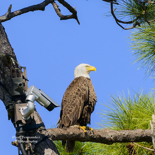
florida baldeagle northfortmyers northftmyers eaglebald internetcamera internetcam
Camera, Action! in North Ft. Myers, Florida
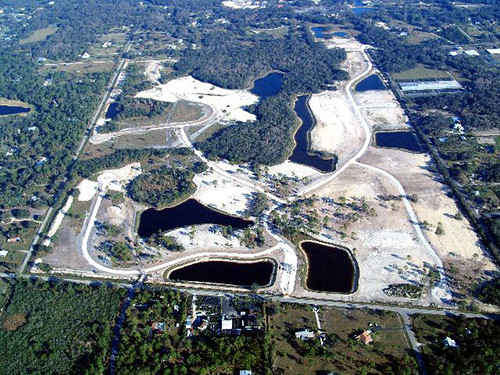
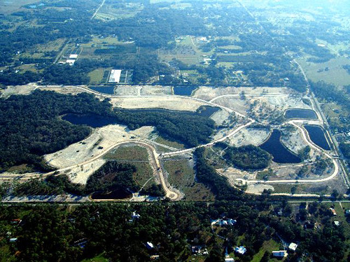
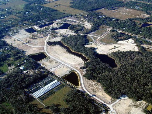
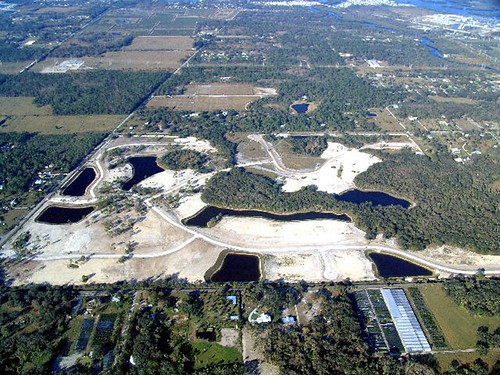
Horse Creek Subdivision Aerial View 1
weather ilovenature florida fort hurricane charlie technorati disaster ft fl charley meteorology myers fortmyers shuttersparks
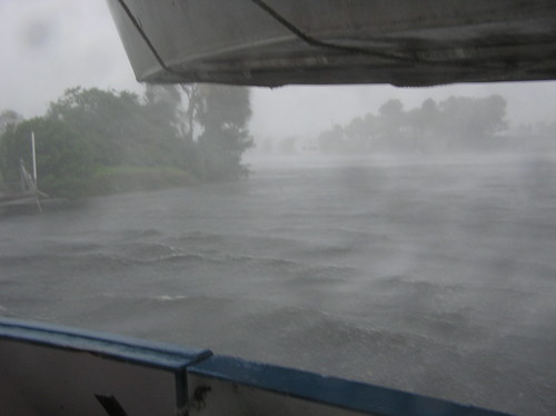
Hurricane Charley 2
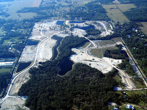
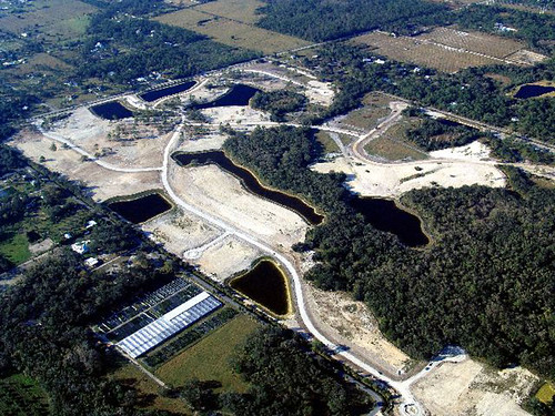
Horse Creek Subdivision Aerial View 4
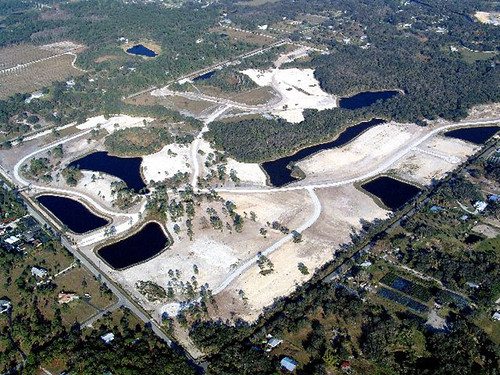
Horse Creek Subdivision Aerial View 7
Horse Creek Subdivision Aerial View 5
Horse Creek Subdivision Aerial View 8
Horse Creek Subdivision Aerial View 6
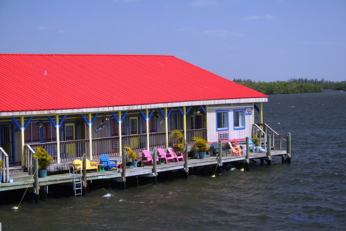
seascape hotel florida motel resort roadside tinroof adirondackchairs
Floating Motel
square squareformat iphoneography instagramapp uploaded:by=instagram
Rear view rain view
birds closeup 100400mm webbwma floridaimages palmwarblers
Blue Headed Viro, Webb WMA
fish signs water birds fishing manatee boardwalk alligators
2015 October 16, Manatee Park Fort Myers
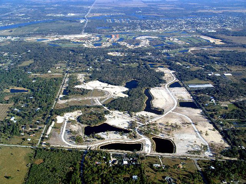
Horse Creek Subdivision Aerial View 3
Horse Creek Subdivision Aerial View 2
vacation lee fl 2009 leecounty northftmyers ljsilicon photobyrudyguy palmcreekdrive
Prickett's 360 view from front yard.
florida andrewvernon nikond300s aperture3
Babcock-Webb Management Area
3point141 florida usa echo ftmyers carrotwood soapberry sapindaceae cupaniopsisanacardioides stateoffloridalistofnoxiousweeds australia irianjaya papuanewguinea july1999 educationalconcernsforhungerorganization
CARROTWOOD #2
sunday sun summer swfl florida capcoral cc sunnyday canal vessels boarding bothsides sky weather erkohl er kohl
Have a nice day - traffic
Photography class-1
Nature-2
square squareformat iphoneography instagramapp uploaded:by=instagram
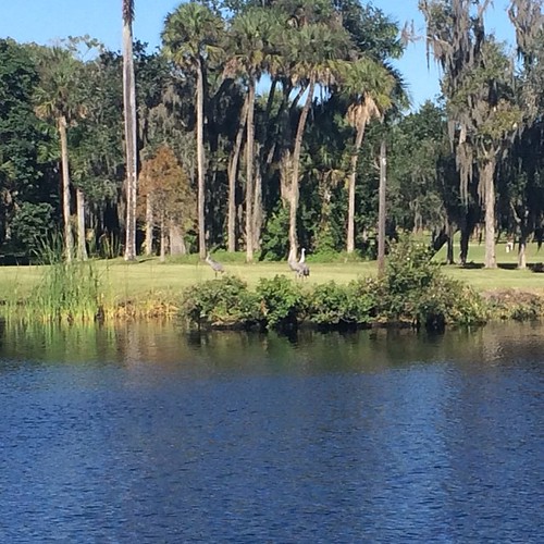
Sandhill Cranes on an oxbow.
square squareformat iphoneography instagramapp uploaded:by=instagram foursquare:venue=5035390ce4b098e3f9d4eba2
Good Morning Ft Myers
Photograph from AroundShare.com
Not a log
square squareformat iphoneography instagramapp uploaded:by=instagram foursquare:venue=4b9025caf964a5208b7833e3
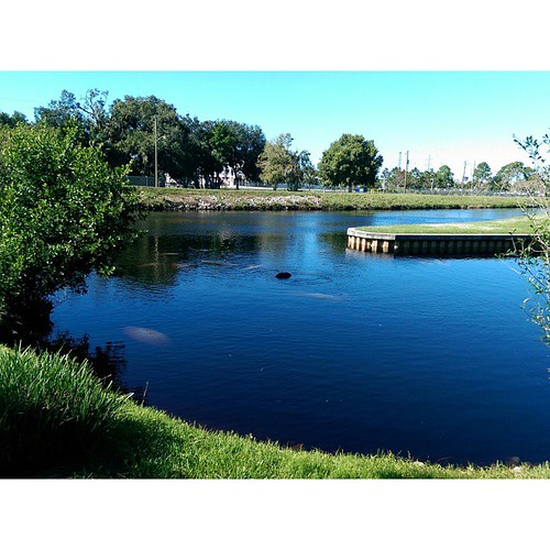
Manatee watching.
alva florida southwestflorida naturalflorida caloosaregionalpark
Caloosahatchee Regional Park
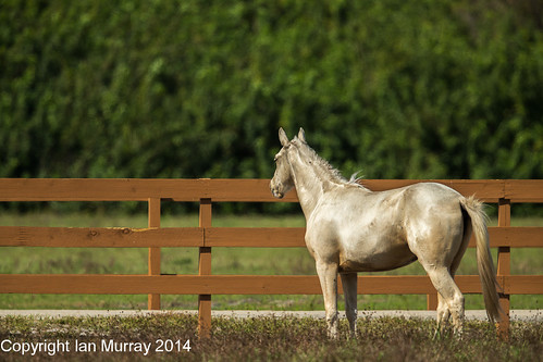
IMG_8951 Contemplative White Horse
eagles 2014 pritchett nfm
IMGL8188 The scene of the eagle's nest in Nort Fort Myers
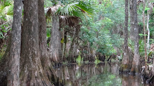
cypresstrees babcockranch floridawetlands
Florida Wetlands
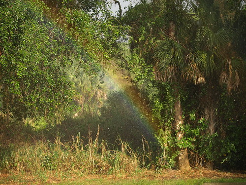
110504 Backyard Rainbow 2
reflection nature water florida cypresstrees babcockranch
Cypress Trees
near Martha St & Wes Mar Rd
SGLR DeSoto Turn @ Fort Myers
eyefi
IMG_0270.JPG
beach florida
Manatee Park
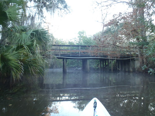
Telegraph Creek