Elevation of Founders Square at Babcock Ranch, Crescent Loop, Punta Gorda, FL, USA
Location: United States > Florida > Charlotte County > Punta Gorda >
Longitude: -81.74719
Latitude: 26.7836649
Elevation: 8m / 26feet
Barometric Pressure: 101KPa
Elevation Map:
Satellite Map:
Related Photos:
Harriet Posing for her Picture at North Ft. Myers, Florida
Free Manatee Program
Camera, Action! in North Ft. Myers, Florida

Florida Power and Light Company

Roadside Motel
Hurricane Charley 2
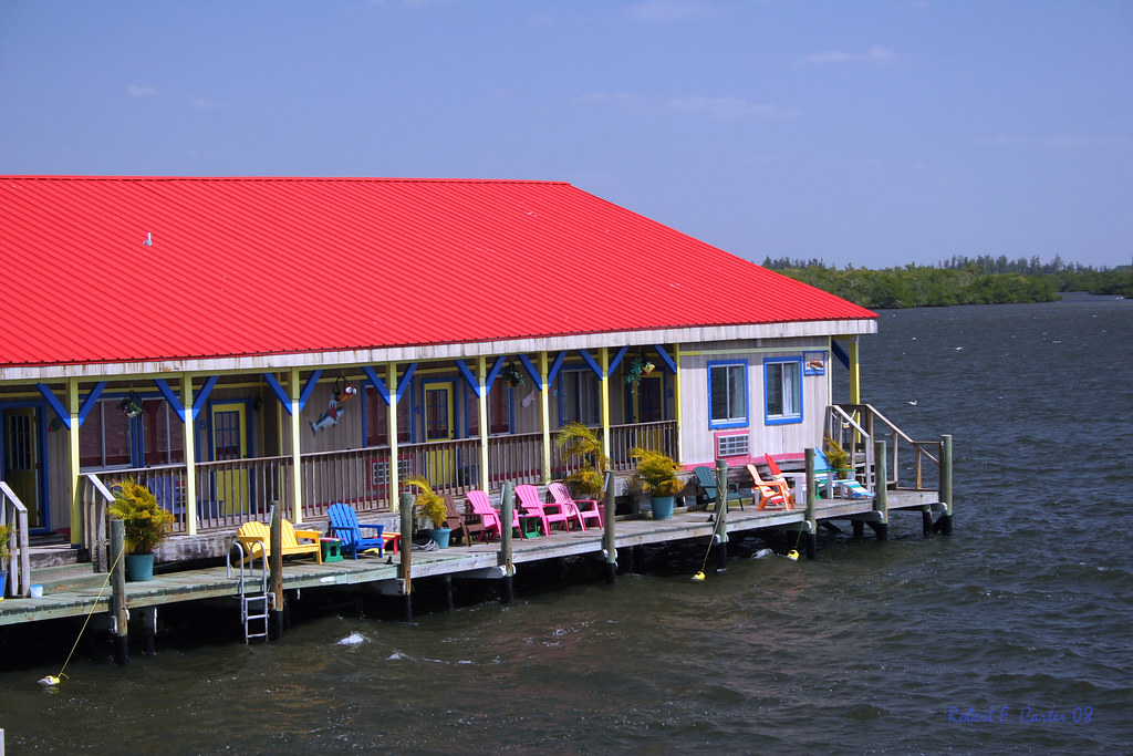
Floating Motel
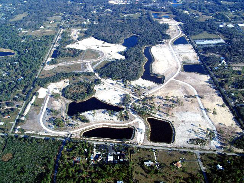
Horse Creek Subdivision Aerial View 1
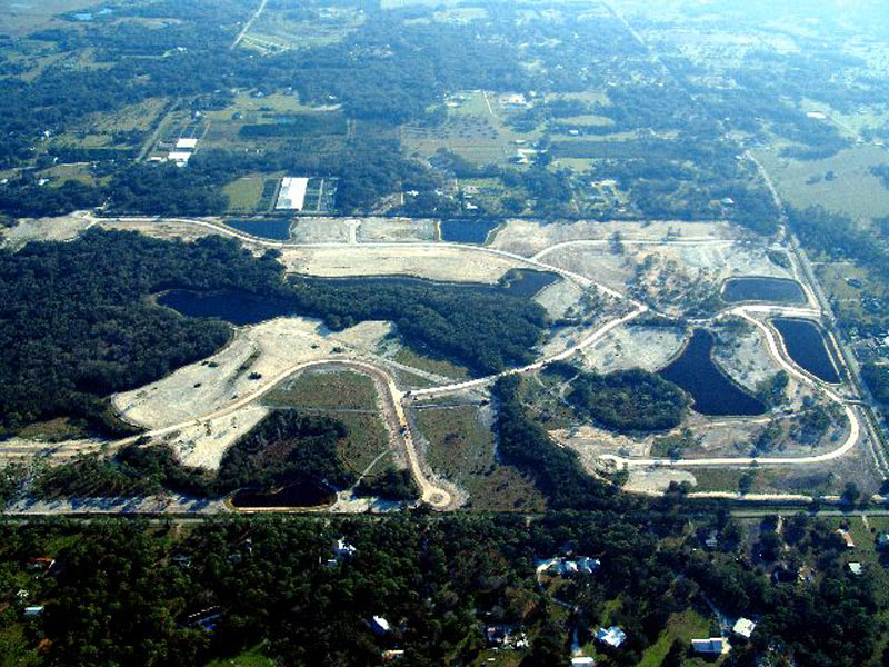
Horse Creek Subdivision Aerial View 4
Horse Creek Subdivision Aerial View 5
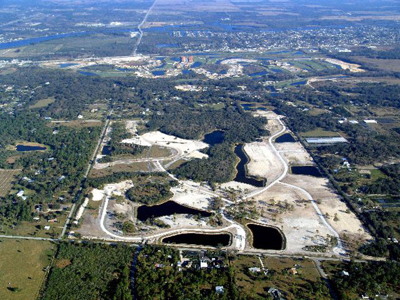
Horse Creek Subdivision Aerial View 6

Horse Creek Subdivision Aerial View 8

Rear view rain view

The Caloosahatchee from the Alva Bridge
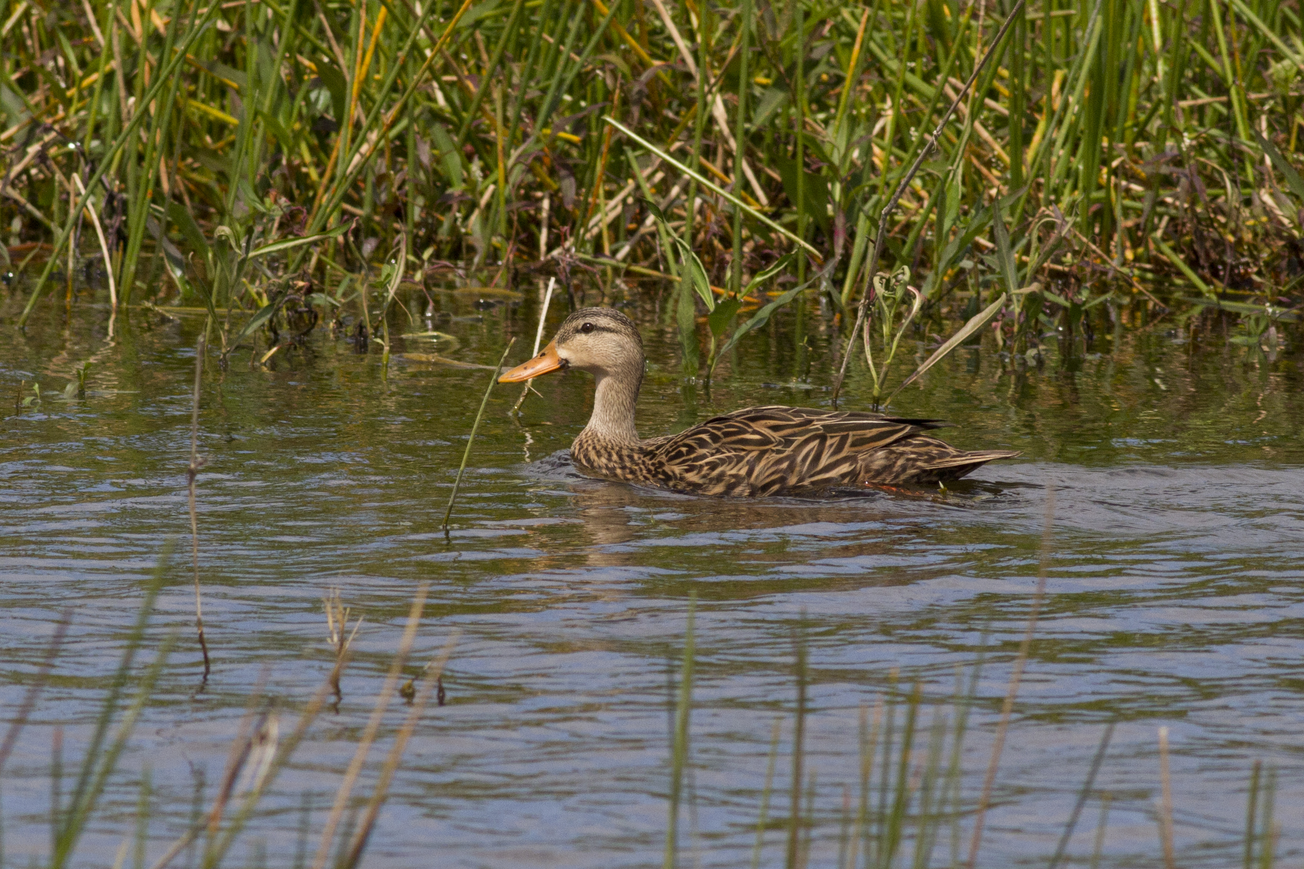
Mottled Duck
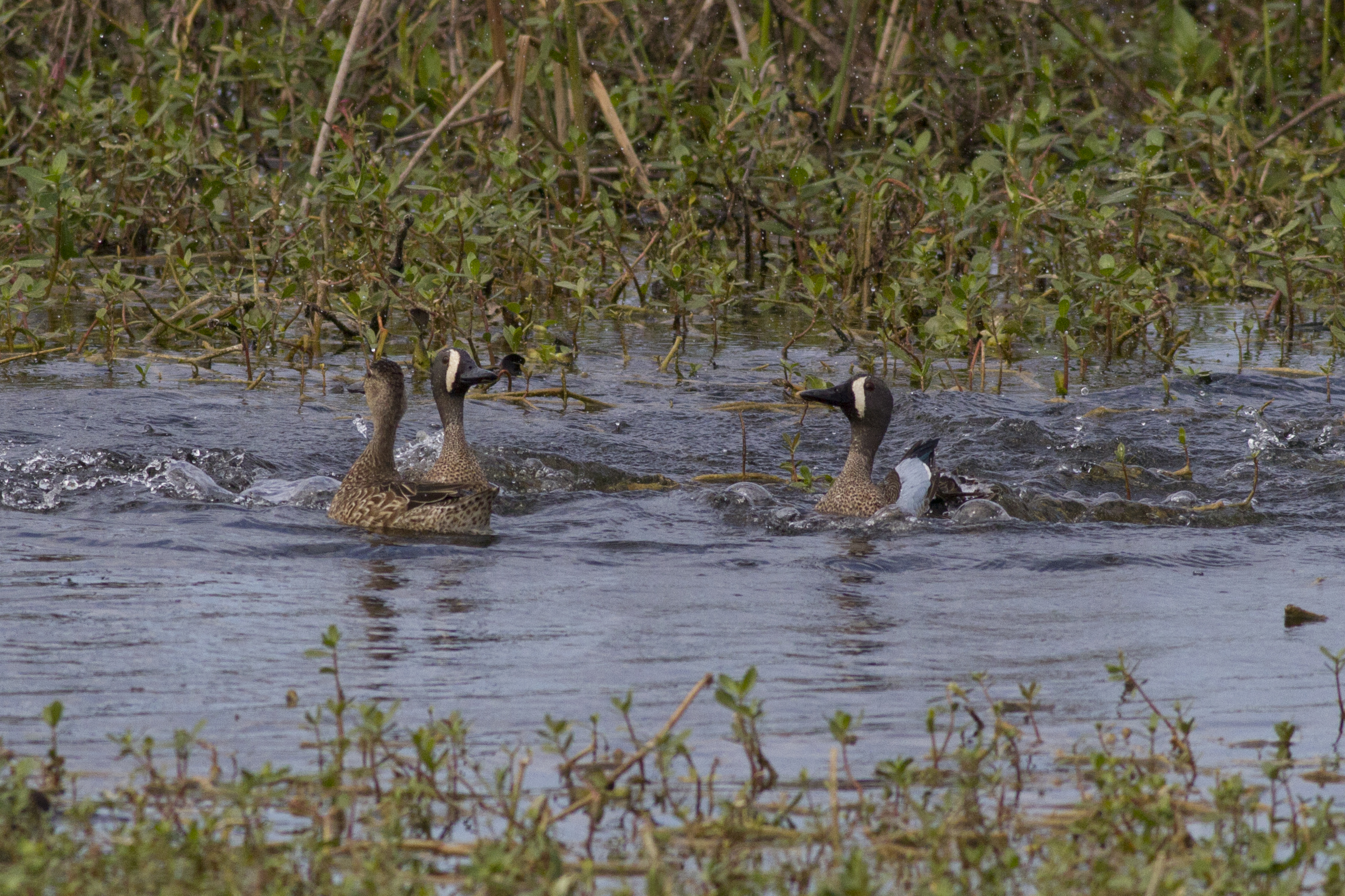
Blue-winged Teals
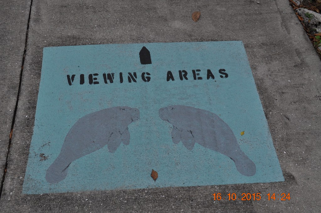
2015 October 16, Manatee Park Fort Myers
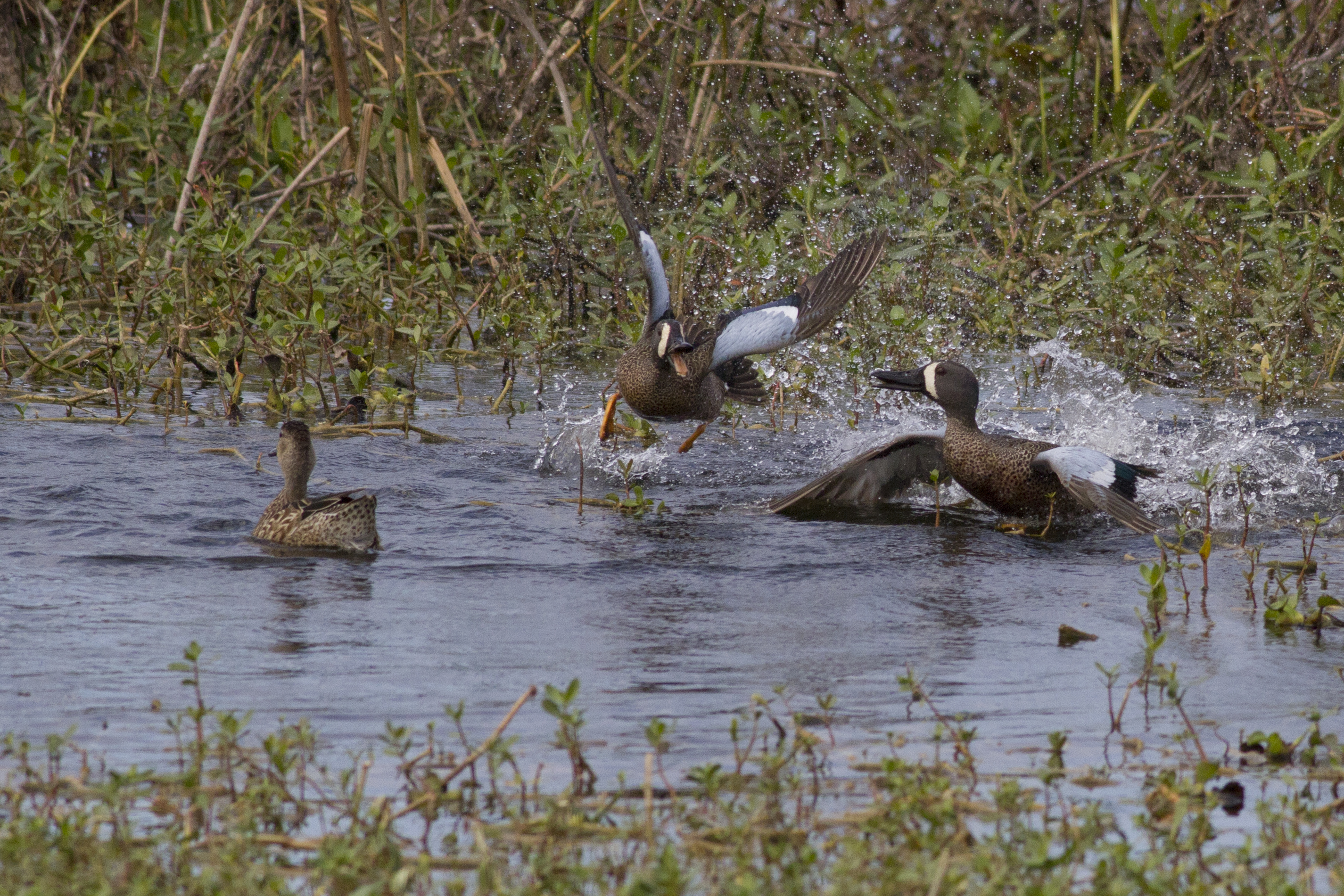
Blue-winged Teals
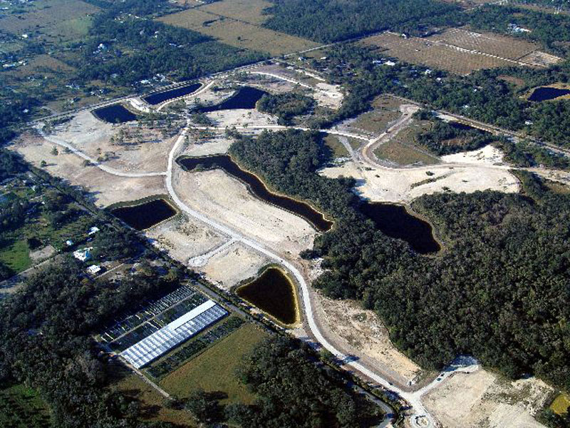
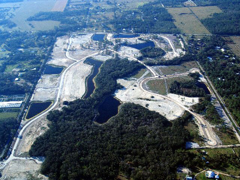
Horse Creek Subdivision Aerial View 3
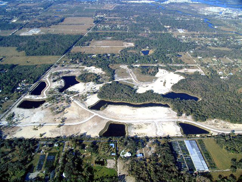
Horse Creek Subdivision Aerial View 2

CARROTWOOD #2
Have a nice day - traffic

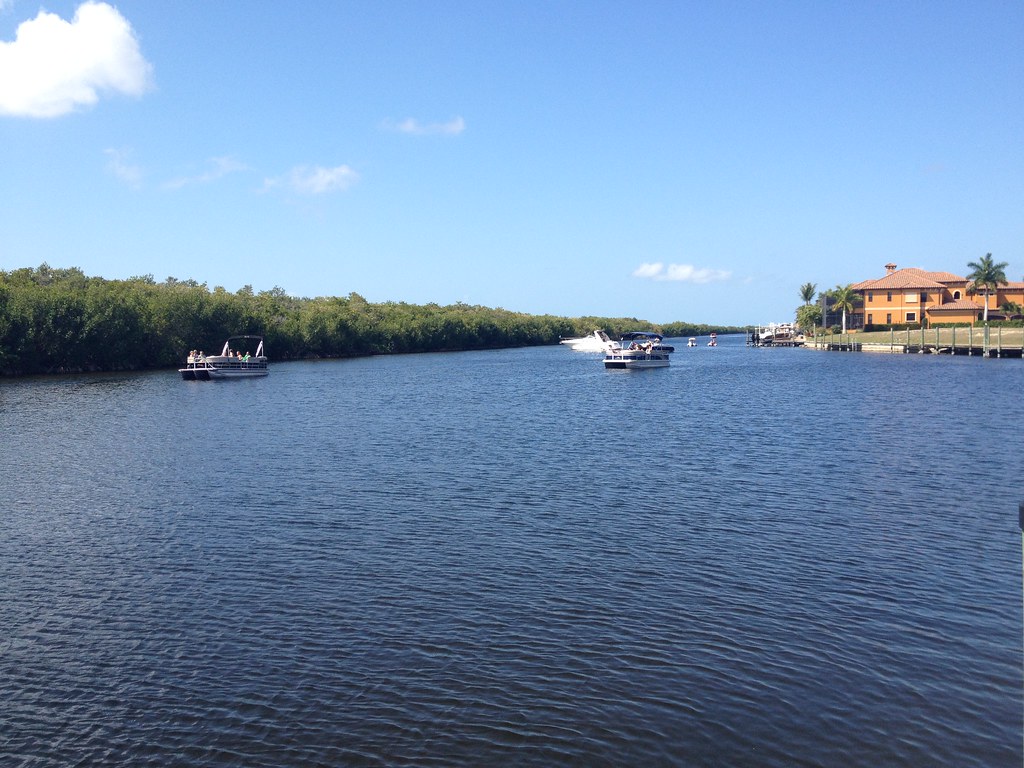
Caloosahatchee River
Ceratium hircus Bloom, Caloosahatchee River, Lee County, May 25, 2011
The Light Fantastic

Babcock-Webb Management Area

American Bittern

Photography class-1

Caloosahatchee Regional Park

Nature-2
Sandhill Cranes on an oxbow.
Hurricane Frances Storm Surge
Photograph from AroundShare.com

Savannah Sparrow
Good Morning Ft Myers
Harns Marsh

Palm Warbler
Camera Roll-152

Not a log
Harns Marsh
IMG_8951 Contemplative White Horse
Topographic Map of Founders Square at Babcock Ranch, Crescent Loop, Punta Gorda, FL, USA
Find elevation by address:

Places near Founders Square at Babcock Ranch, Crescent Loop, Punta Gorda, FL, USA:
Babcock Ranch, Florida
16927 Bridle Trail
Parkside At Babcock Ranch By Pulte Homes
17780 Wayside Bnd
Boardwalk Loop
Freeland Lane
Wink-fm
43322 Water Bird Wy
41181 Horseshoe Rd
40990 Horseshoe Rd
10910 Sharon Dr
19710 Honey Bear Ln
40000 Horseshoe Rd
21090 Nalle Rd
17301 Deuce Rd
15331 Tilton Rd
9800 Merle Dr
20650 Jamie Rd
20200 Lani Ln
14905 Wise Way
Recent Searches:
- Elevation of Corso Fratelli Cairoli, 35, Macerata MC, Italy
- Elevation of Tallevast Rd, Sarasota, FL, USA
- Elevation of 4th St E, Sonoma, CA, USA
- Elevation of Black Hollow Rd, Pennsdale, PA, USA
- Elevation of Oakland Ave, Williamsport, PA, USA
- Elevation of Pedrógão Grande, Portugal
- Elevation of Klee Dr, Martinsburg, WV, USA
- Elevation of Via Roma, Pieranica CR, Italy
- Elevation of Tavkvetili Mountain, Georgia
- Elevation of Hartfords Bluff Cir, Mt Pleasant, SC, USA