Elevation of Ripley Township, OH, USA

Location: United States > Ohio > Holmes County >

Longitude: -82.062505

Latitude: 40.6253006

Elevation: 368m / 1207feet

Barometric Pressure: 97KPa

Elevation Map:

elevation map of Ripley Township, OH, USA
Satellite Map:

Satellite map of Ripley Township, OH, USA
Related Photos:

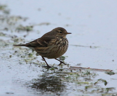
ohio birds aves documentation americanpipit holmescounty killbuckmarsh ebird
eBird Doc: American Pipit
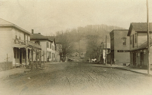
ohio postcard rppc holmescounty realphotopostcard glenmontohio
Glenmont, Holmes County Ohio, East Main Street
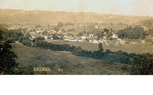
ohio postcard rppc holmescounty realphotopostcard killbuckohio
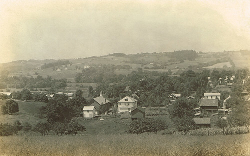
Killbuck, Holmes County Ohio, Birds Eye View
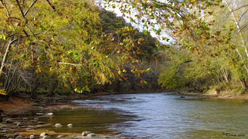
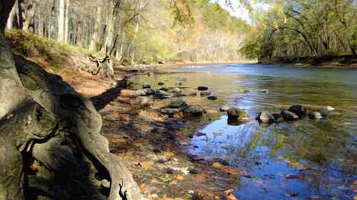
topazlabs mohicanwilderness
Mohican River View
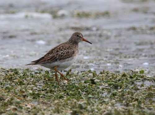
ohio birds aves sandpiper documentation pectoralsandpiper holmescounty killbuckmarsh ebird
eBird Doc: Ohio wintering Pectoral Sandpiper
ohio postcard rppc holmescounty realphotopostcard glenmontohio
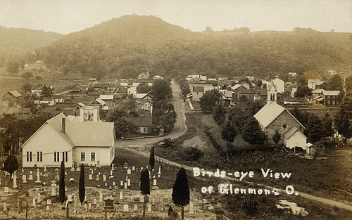
Glenmont, Holmes County Ohio, Birds Eye View
ohio birds aves sandpiper documentation pectoralsandpiper holmescounty killbuckmarsh ebird
eBird Doc: Pectoral Sandpiper wintering in Ohio
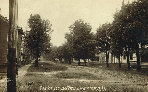
ohio postcard rppc holmescounty realphotopostcard holmesvilleohio
Holmesville, Holmes County Ohio, East Main St Looking W
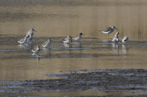
Greater & Lesser Yellowlegs
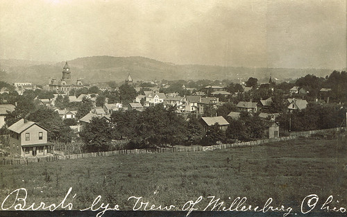
ohio postcard rppc holmescounty realphotopostcard millersburgohio
Millersburg, Holmes County Ohio, Birds Eye View
Ruff and Greater Yellowlegs
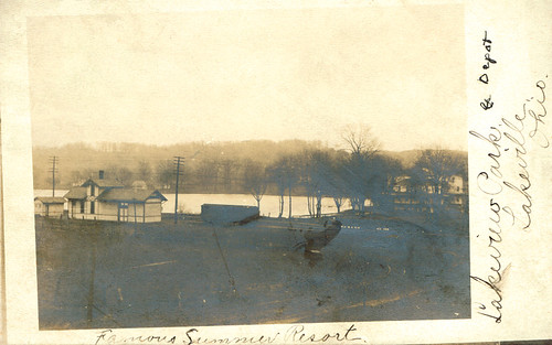
ohio postcard rppc holmescounty realphotopostcard lakevilleohio
Lakeville, Holmes County Ohio, Lakeview Park and Depot
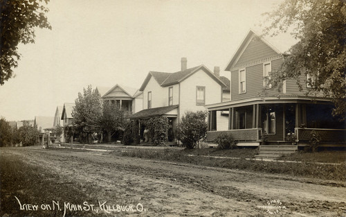
ohio postcard rppc holmescounty realphotopostcard killbuckohio
Killbuck, Holmes County Ohio, View on N Main St
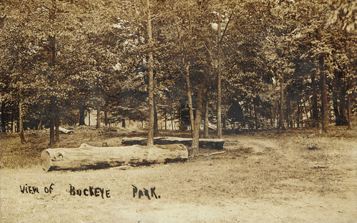
ohio postcard rppc holmescounty realphotopostcard lakevilleohio
Lakeville, Holmes County Ohio, View of Buckeye Park
ohio postcard rppc holmescounty realphotopostcard millersburgohio
Millersburg, Holmes County Ohio, St Peters Catholic Church
ohio history architecture geotagged nikon cch d90 nationalregisterofhistoricplaces historicalpreservation shiftn usccohholmes millersburgohio holmescountyohio
The Holmes County Courthouse
ohio print millersburg 1840s holmescounty ohioartthrough1865 citylevelgeotagging
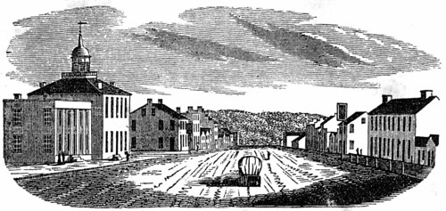
View in Millersburg
ohio postcard rppc holmescounty realphotopostcard glenmontohio
Glenmont, Holmes County Ohio, Birds Eye View
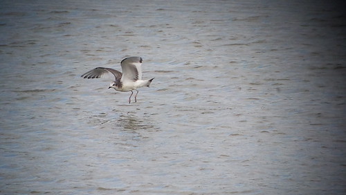
Sabine's Gull
wilderness mohican mohicanwilderness
River view
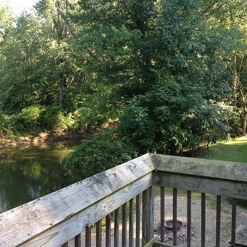
square squareformat iphoneography instagramapp uploaded:by=instagram foursquare:venue=4bd1ff8b77b29c7418c18d82
View from our cabin's deck. #MohicanAdventure
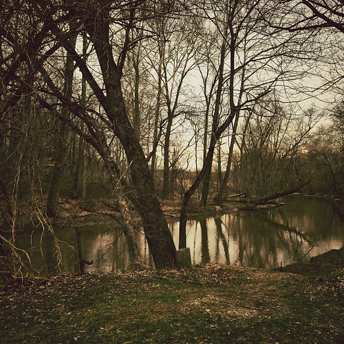
Tree Reflections Panorama (Explored)
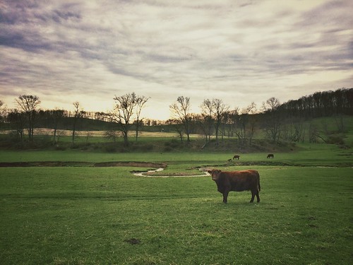
Cowscape (Explored)
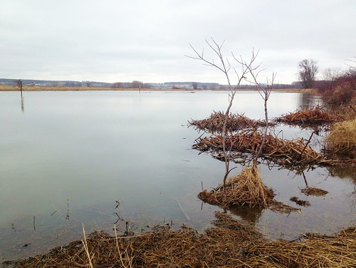
Islands In the Stream
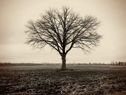
Lonely Tree
uploaded:by=flickrmobile flickriosapp:filter=ocelot ocelotfilter
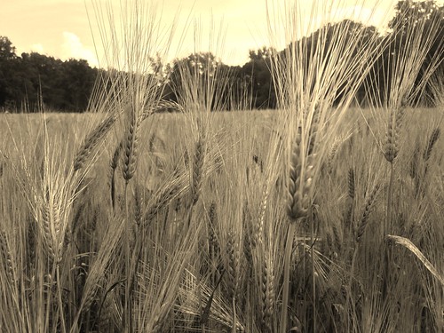
Staff of Life
square squareformat hefe iphoneography instagramapp uploaded:by=instagram foursquare:venue=4c7ab0cbdf08a1cd5e8cde5d
Real Life Spring Retreat!
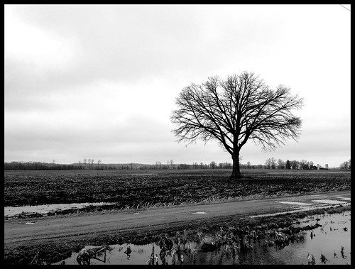
Tree By Wet Road
snow tree forest moss woods
Mossy Tree
Funk Wildlife Area
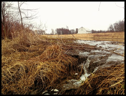
Stream and Barn at Funk Wildlife Area
nex7 sel50f18
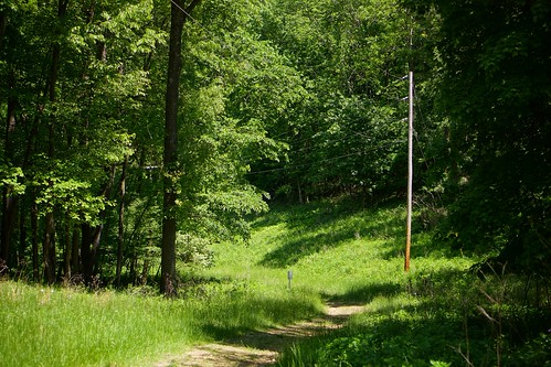
A hill in the sun
slrmagic slrmagic3517
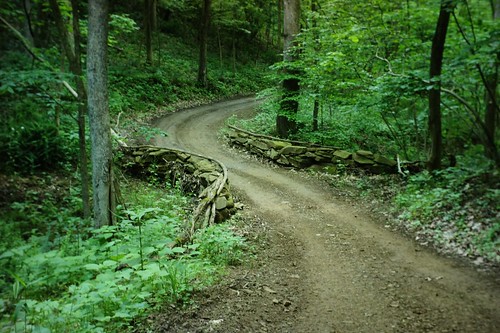
Stone Berm
slrmagic slrmagic3517 slrmagicbest
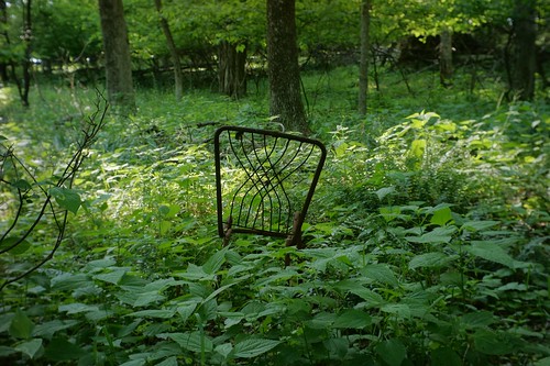
No cushion
uploaded:by=flickstagram instagram:photo=12054558110269494206218140 instagram:venuename=killbuckmarshstatewildlifearea instagram:venue=103285220
A dead tree in Killbuck Marsh, OH.
Moo Moo Moo
nature birds
May 1 1974 Blind set up for following flicker shots
bridge autumn ohio color fall leaves fallfoliage foliage swingbridge ziplining treefrogcanopytours
Swing Bridge
trees ohio sky field grass landscape farm land 2010
Eye candy
projectweather nex7 sel50f18
Moreland barn