Elevation of OH-, Shreve, OH, USA
Location: United States > Ohio > Holmes County > Ripley Township >
Longitude: -82.024755
Latitude: 40.619845
Elevation: 378m / 1240feet
Barometric Pressure: 97KPa
Elevation Map:
Satellite Map:
Related Photos:

Millersburg, Ohio USA

eBird Doc: American Pipit

eBird Doc: Ohio wintering Pectoral Sandpiper
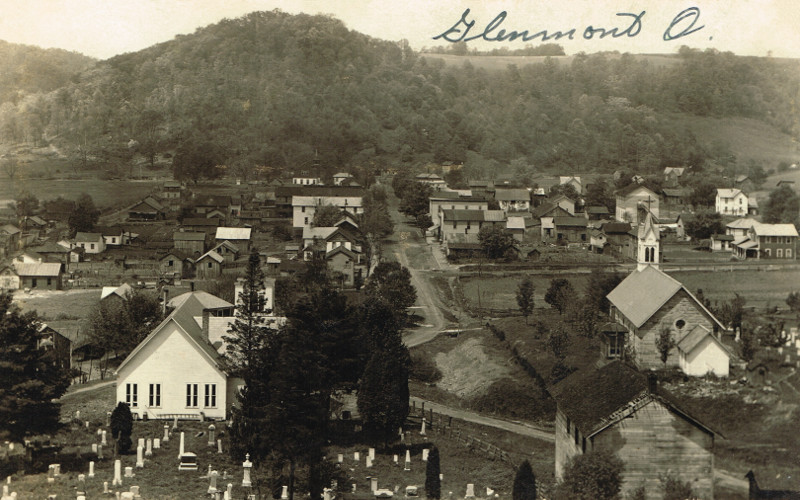
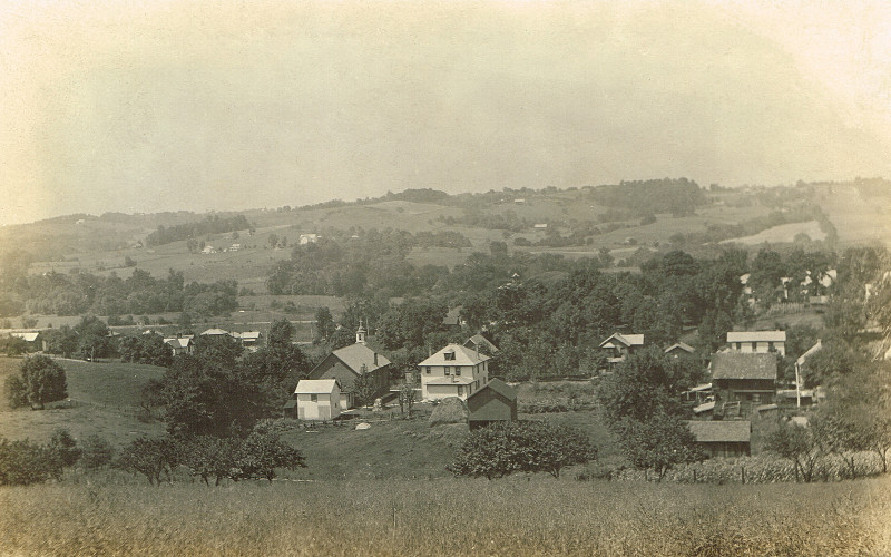
Glenmont, Holmes County Ohio, Birds Eye View

The Holmes County Courthouse

eBird Doc: Pectoral Sandpiper wintering in Ohio
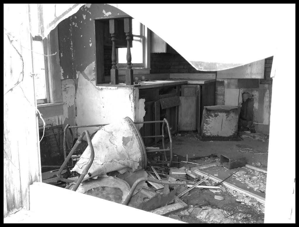
View Through Broken Window of Abandoned House
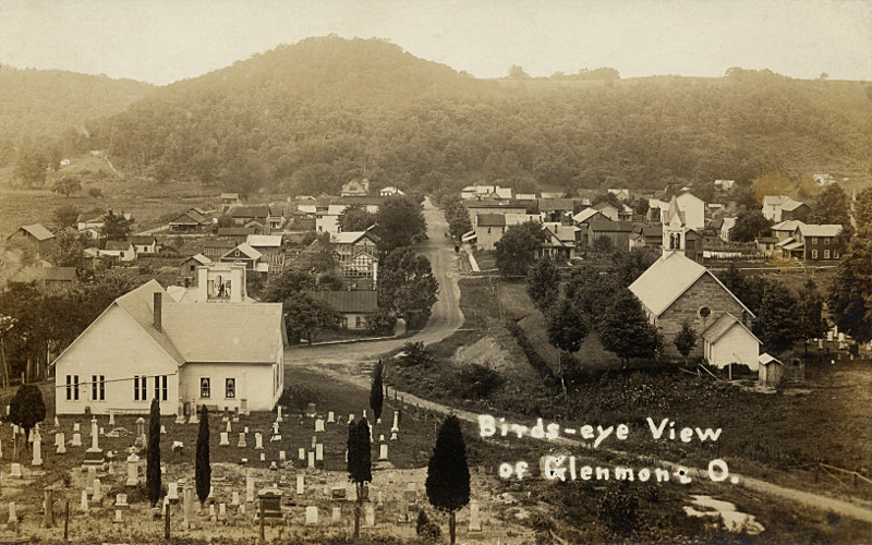
Glenmont, Holmes County Ohio, Birds Eye View
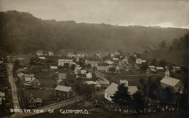
Glenmont, Holmes County Ohio, Birds Eye View

Ruff and Greater Yellowlegs

Greater & Lesser Yellowlegs
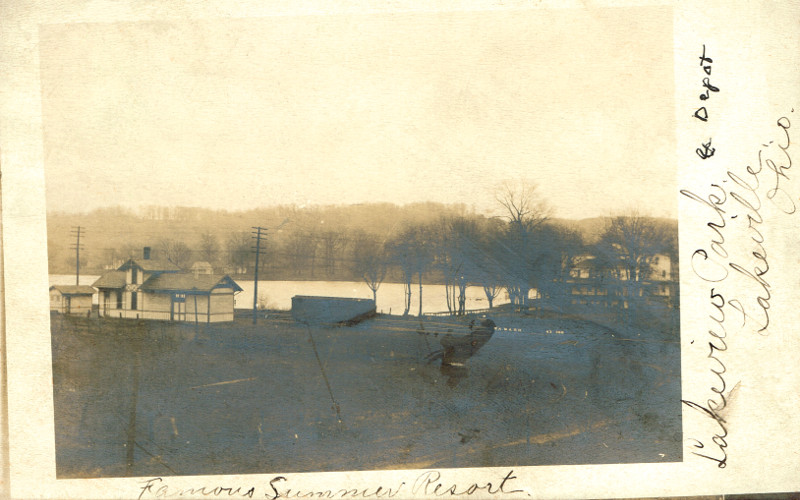
Lakeville, Holmes County Ohio, Lakeview Park and Depot
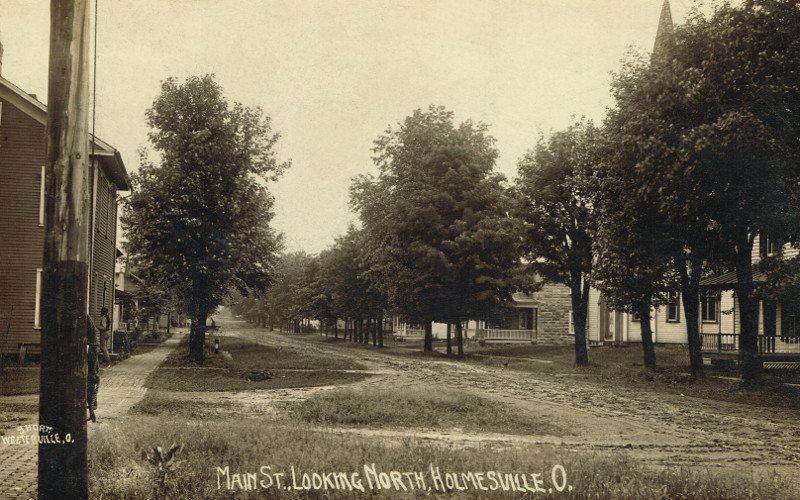
Holmesville, Holmes County Ohio, East Main St Looking W
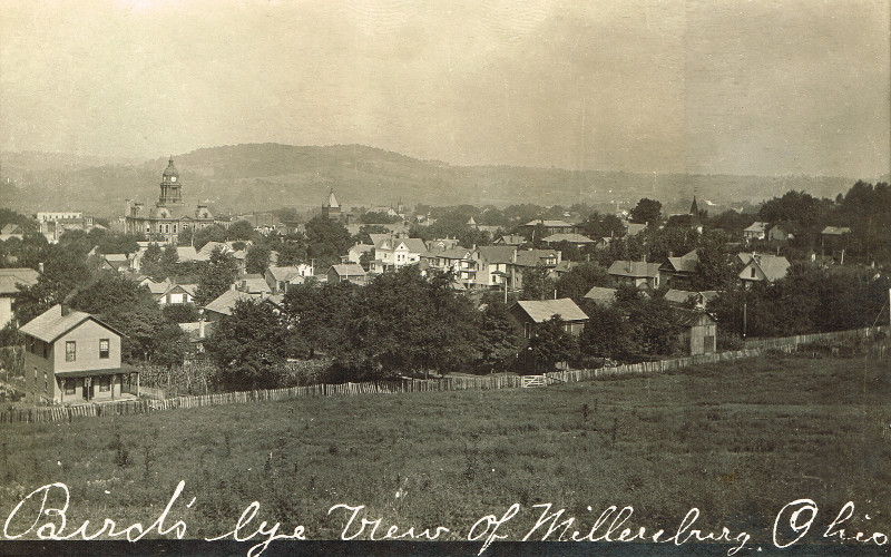
Millersburg, Holmes County Ohio, Birds Eye View

Butterfly Side View
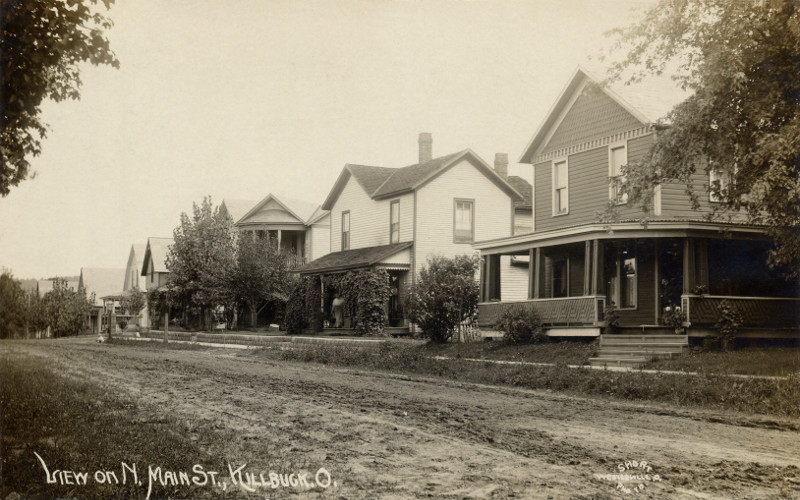
Killbuck, Holmes County Ohio, View on N Main St
Millersburg, Holmes County Ohio, St Peters Catholic Church
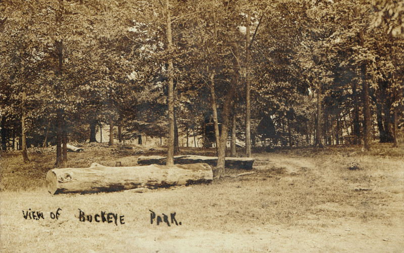
Lakeville, Holmes County Ohio, View of Buckeye Park
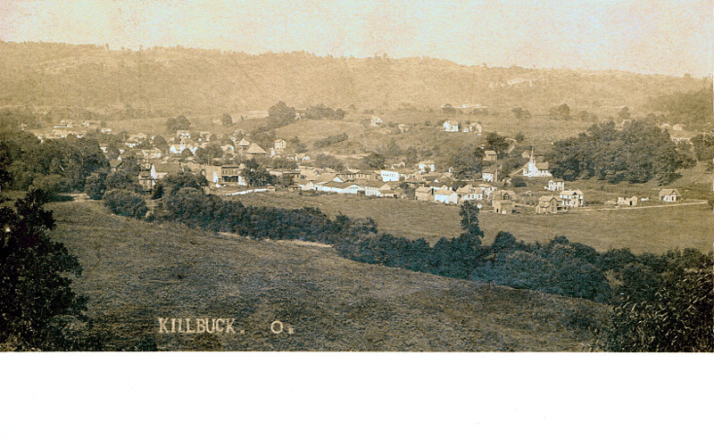
Killbuck, Holmes County Ohio, Birds Eye View
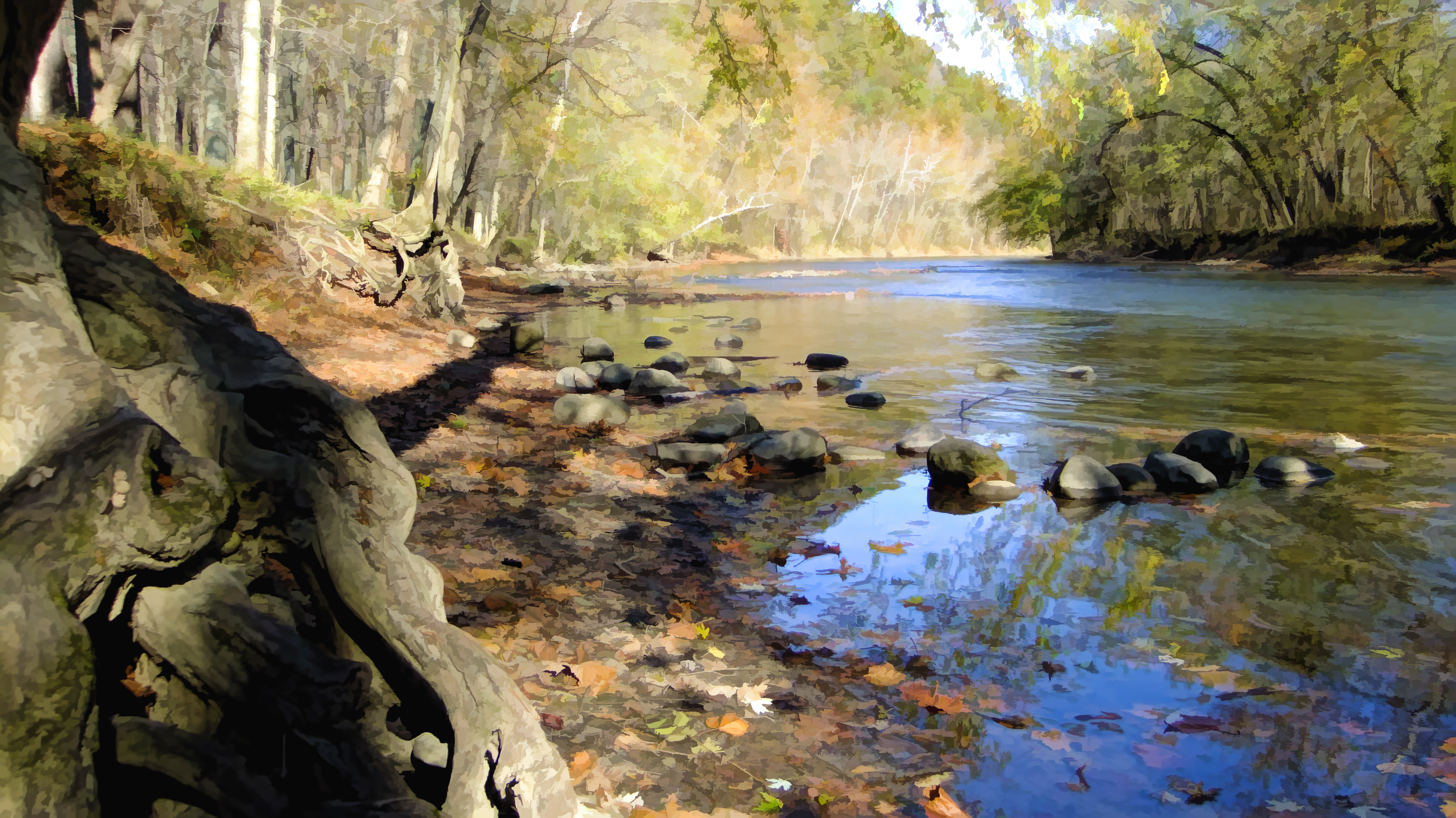
River view

Sabine's Gull
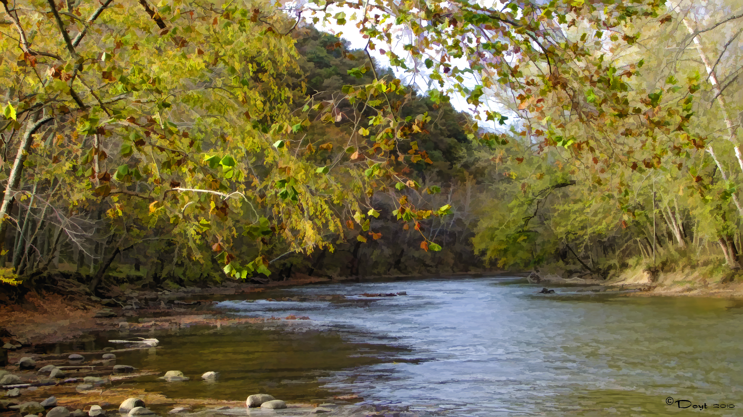
Mohican River View
Killbuck Heron Rookery

Ohio Amish Farm Life is thriving and full of back yard animals and tools.

Lonely Tree

Islands In the Stream
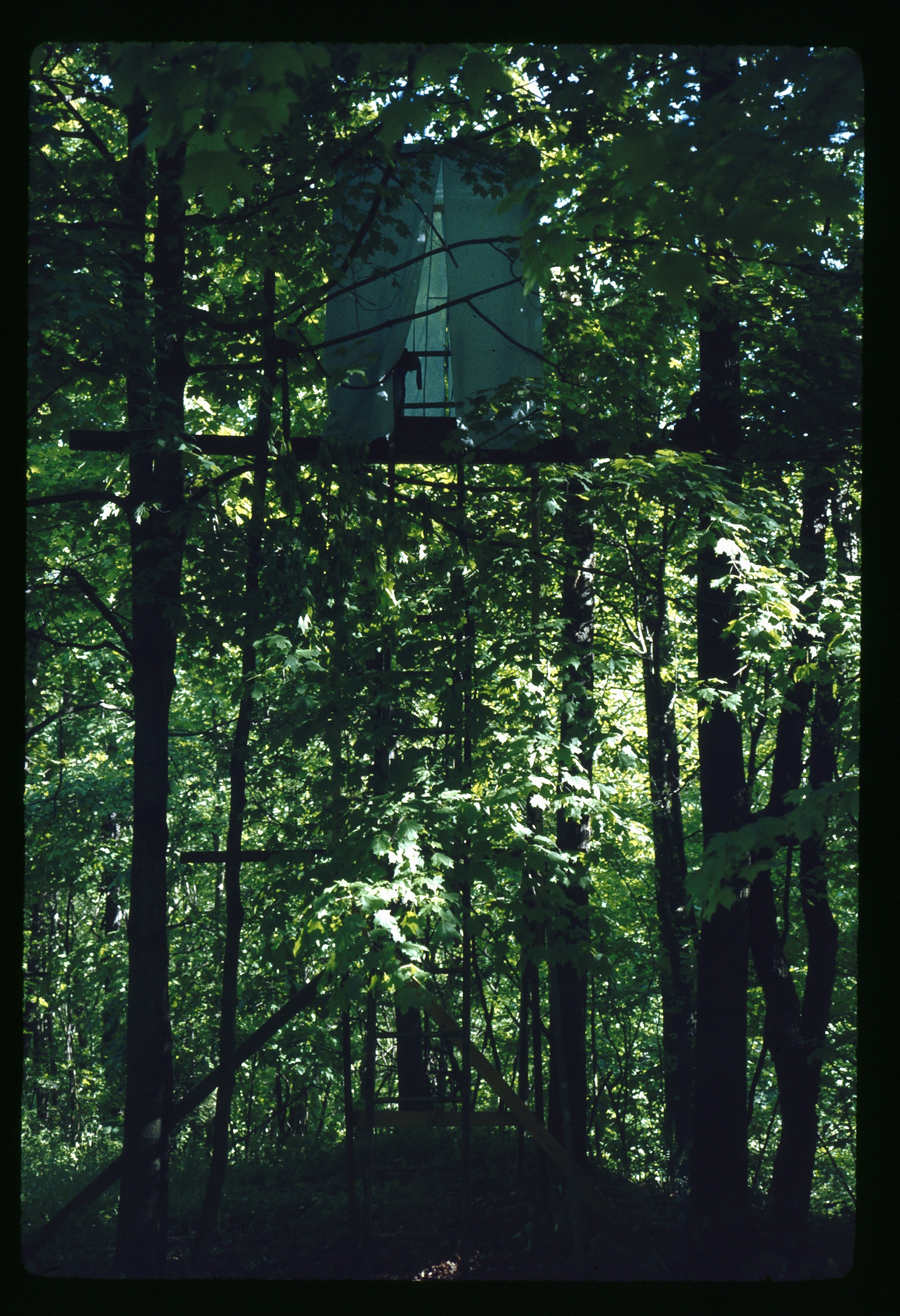
May 1 1974 Blind set up for following flicker shots

Tree By Wet Road

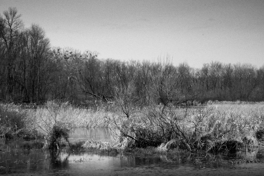
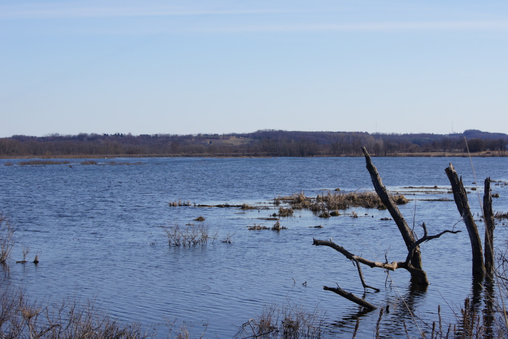
A dead tree in Killbuck Marsh, OH.

Real Life Spring Retreat!

Photo by Mary Anne Romito.

The Marsh - HDR

DSC02510 (1)

Richard and Mary Ann Spencer Gravesite
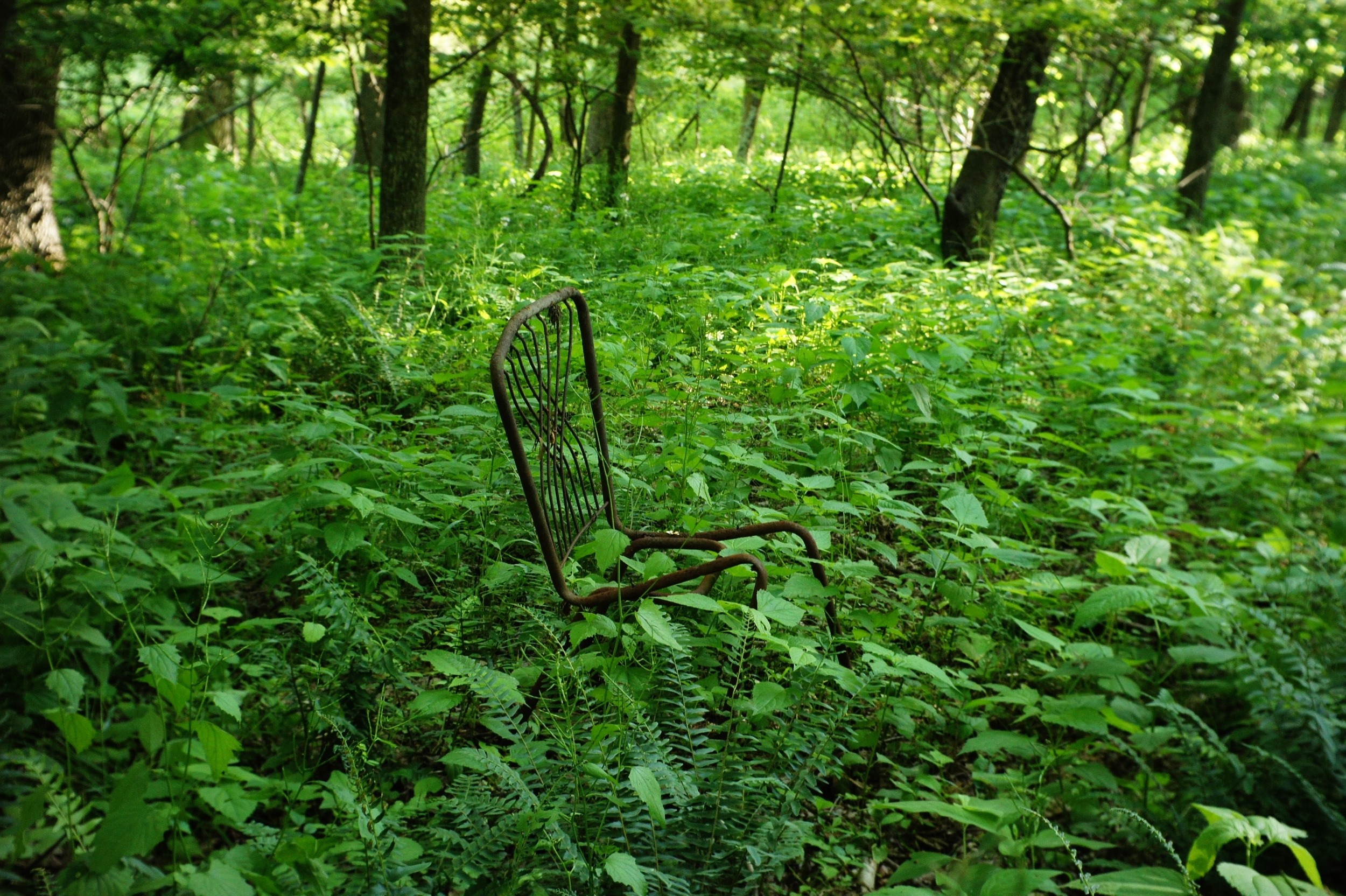
Fern Chair

A hill in the sun
Eye candy
Stone Berm
No cushion
Moreland barn
Tactile II
Topographic Map of OH-, Shreve, OH, USA
Find elevation by address:

Places near OH-, Shreve, OH, USA:
Ripley Township
Mcfadden Road
Big Prairie
Wooster St, Big Prairie, OH, USA
Lakeville
Kister Rd, Wooster, OH, USA
OH-, Lakeville, OH, USA
2662 Carrie Ln
Franklin Township
Millersburg Rd, Wooster, OH, USA
Washington Township
Wayne County
3502 Co Hwy 176
Old Columbus Rd, Wooster, OH, USA
141 Banks Ave
OH-95, Loudonville, OH, USA
Loudonville
Mohican Township
OH-60, Loudonville, OH, USA
Mohican State Park
Recent Searches:
- Elevation of Corso Fratelli Cairoli, 35, Macerata MC, Italy
- Elevation of Tallevast Rd, Sarasota, FL, USA
- Elevation of 4th St E, Sonoma, CA, USA
- Elevation of Black Hollow Rd, Pennsdale, PA, USA
- Elevation of Oakland Ave, Williamsport, PA, USA
- Elevation of Pedrógão Grande, Portugal
- Elevation of Klee Dr, Martinsburg, WV, USA
- Elevation of Via Roma, Pieranica CR, Italy
- Elevation of Tavkvetili Mountain, Georgia
- Elevation of Hartfords Bluff Cir, Mt Pleasant, SC, USA