Elevation of Ringling, MT, USA
Location: United States > Montana > Meagher County >
Longitude: -110.80715
Latitude: 46.2716026
Elevation: 1614m / 5295feet
Barometric Pressure: 83KPa
Elevation Map:
Satellite Map:
Related Photos:
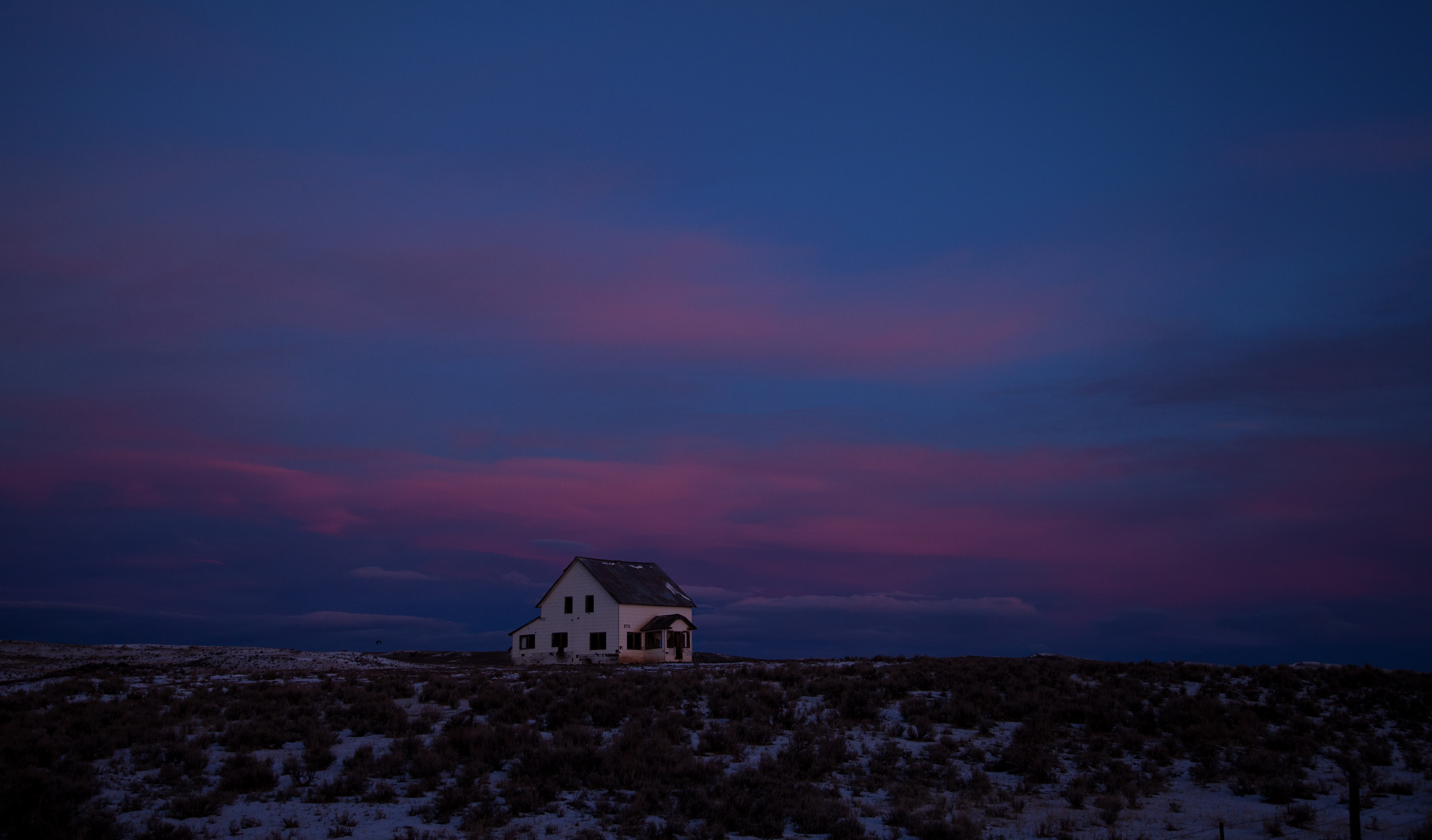
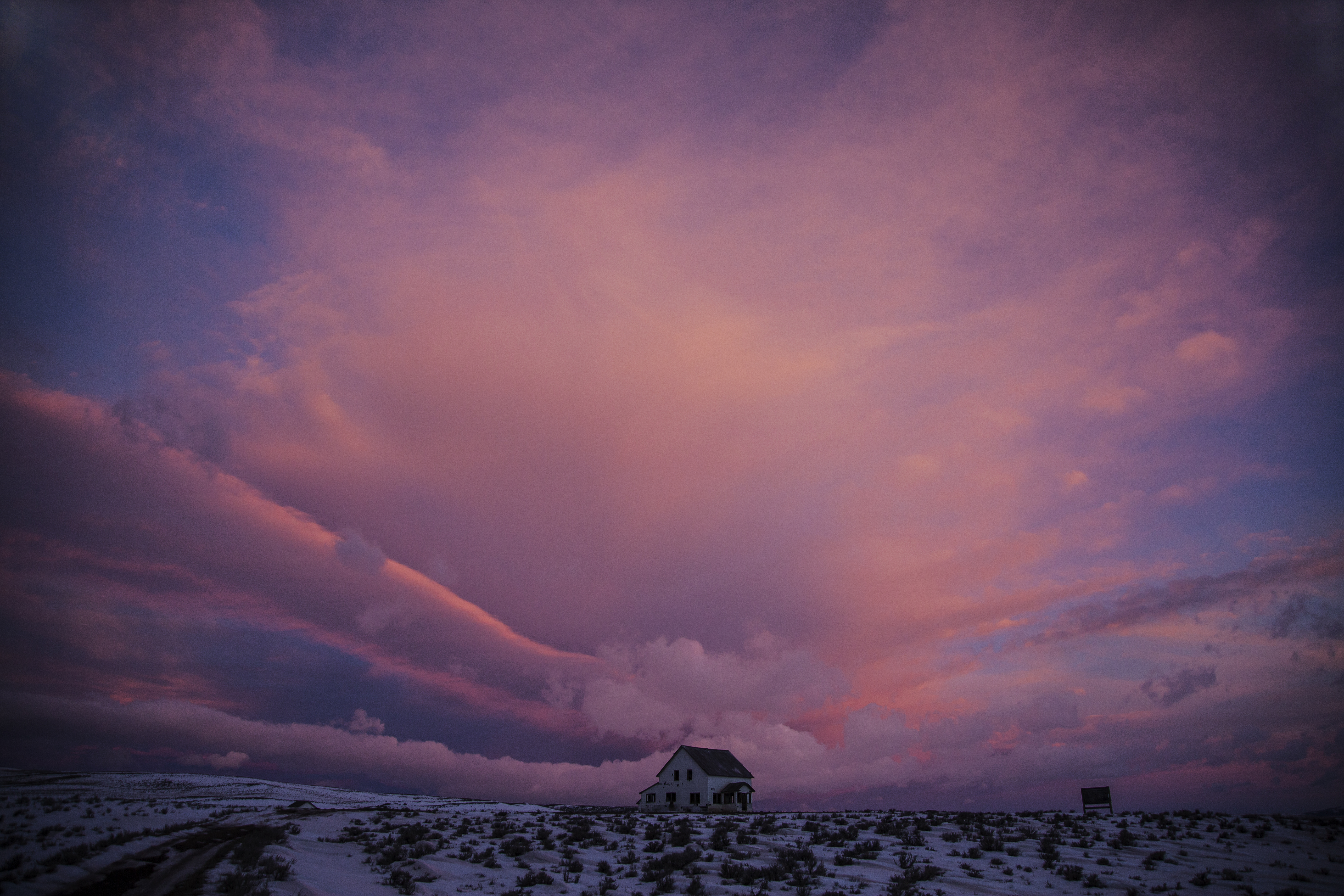
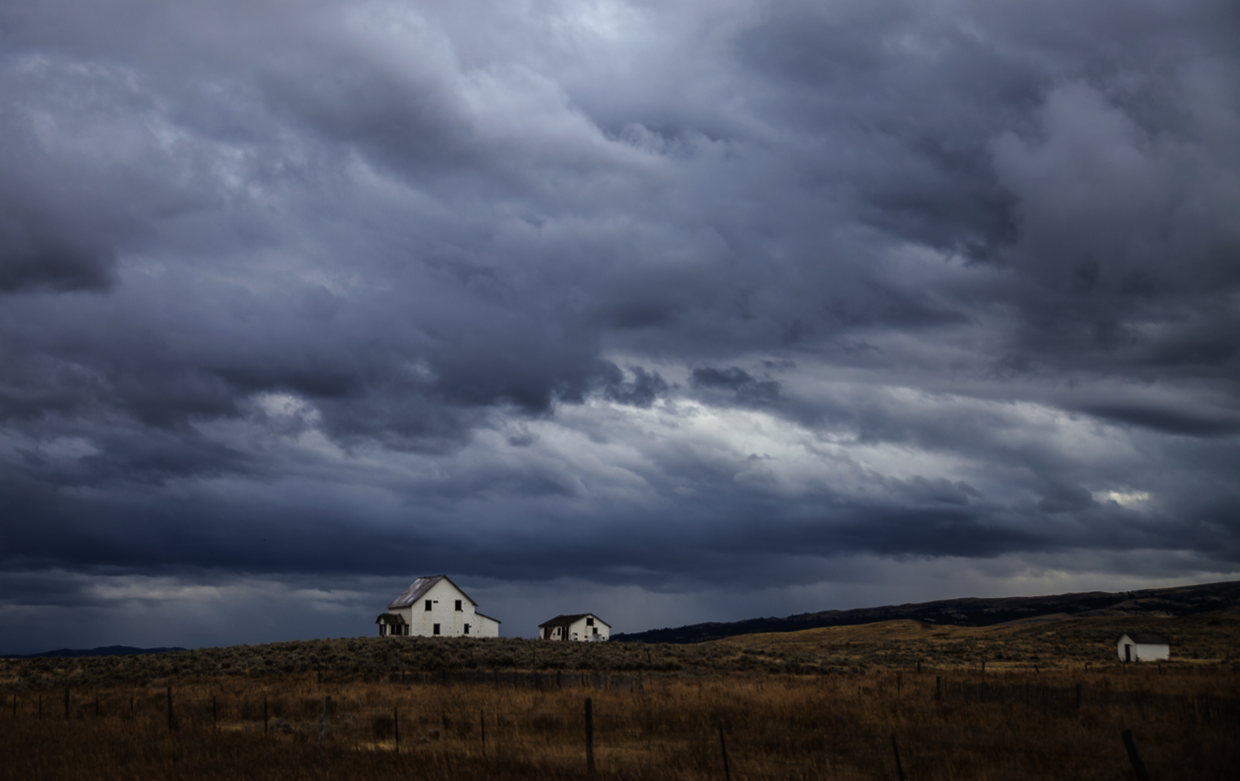
Little House on the Prairie
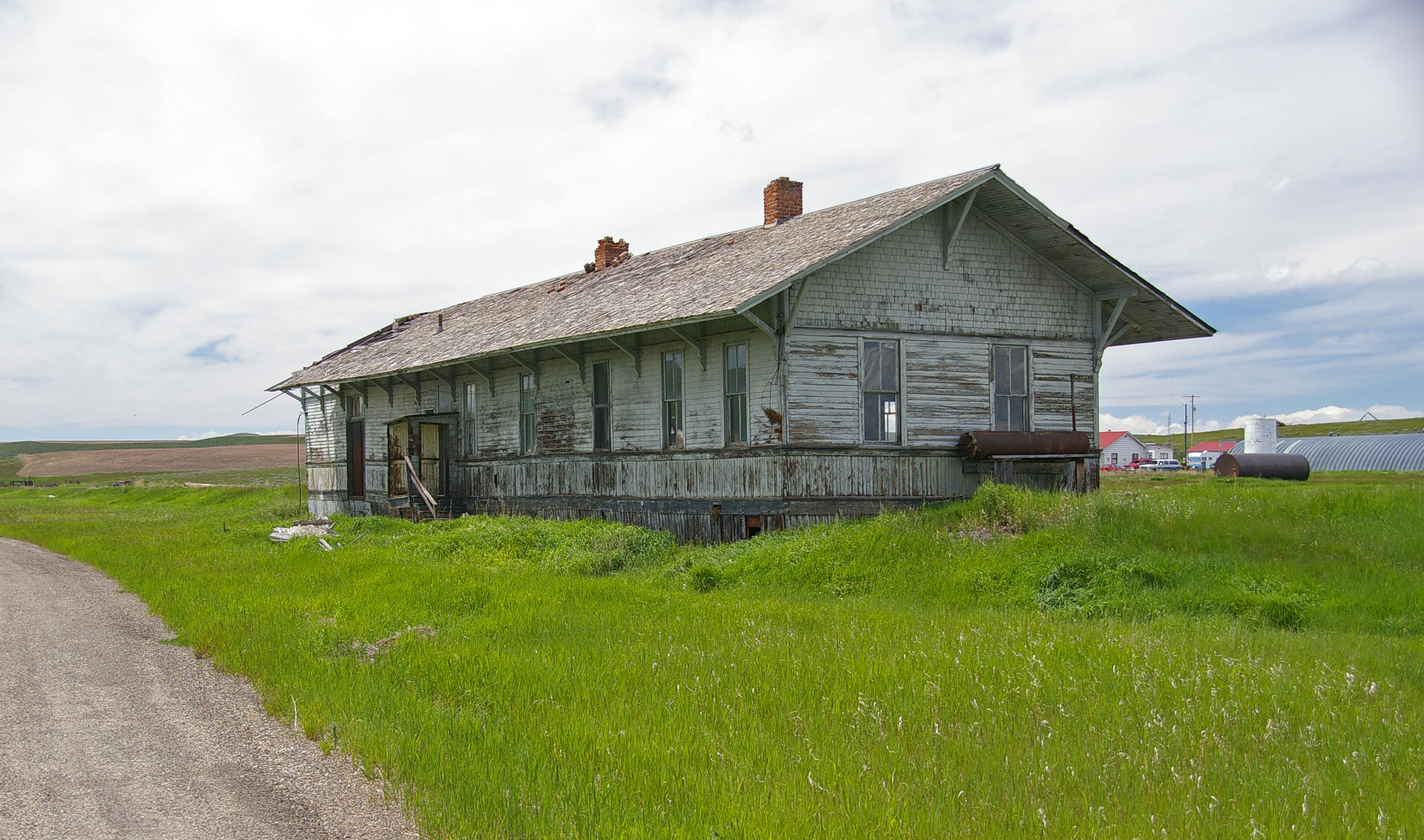
6-24-11 Ringling,MT

Autumn Commute
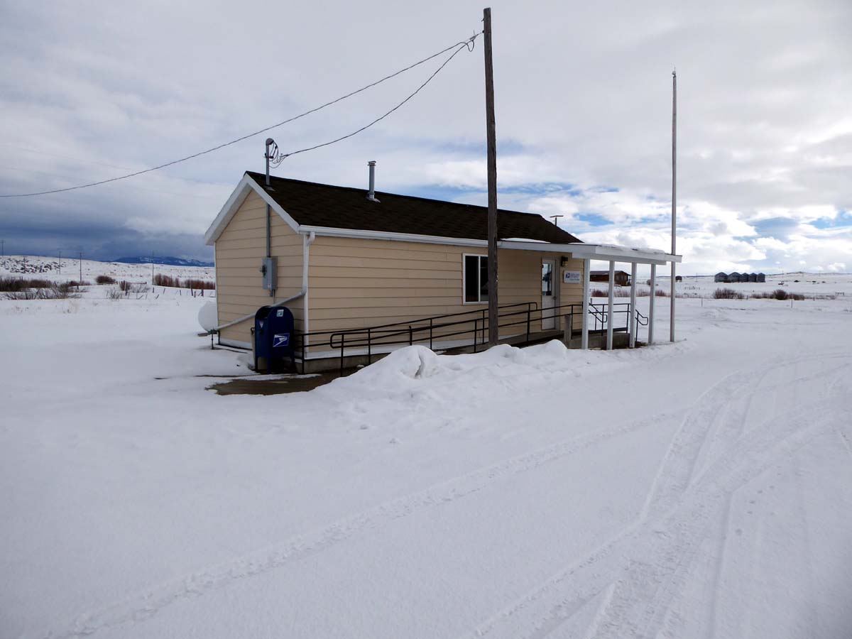
Ringling, Montana 59642
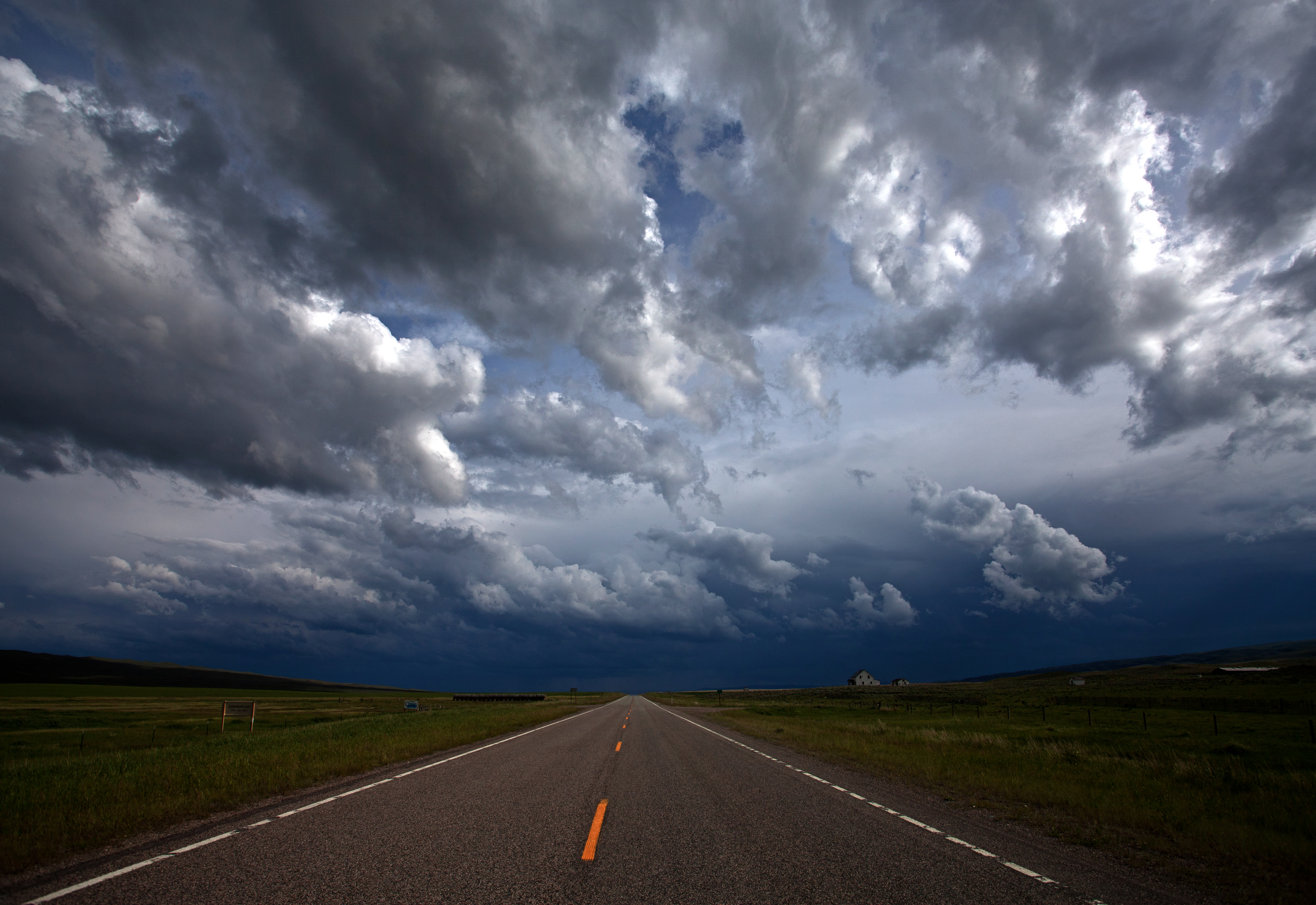
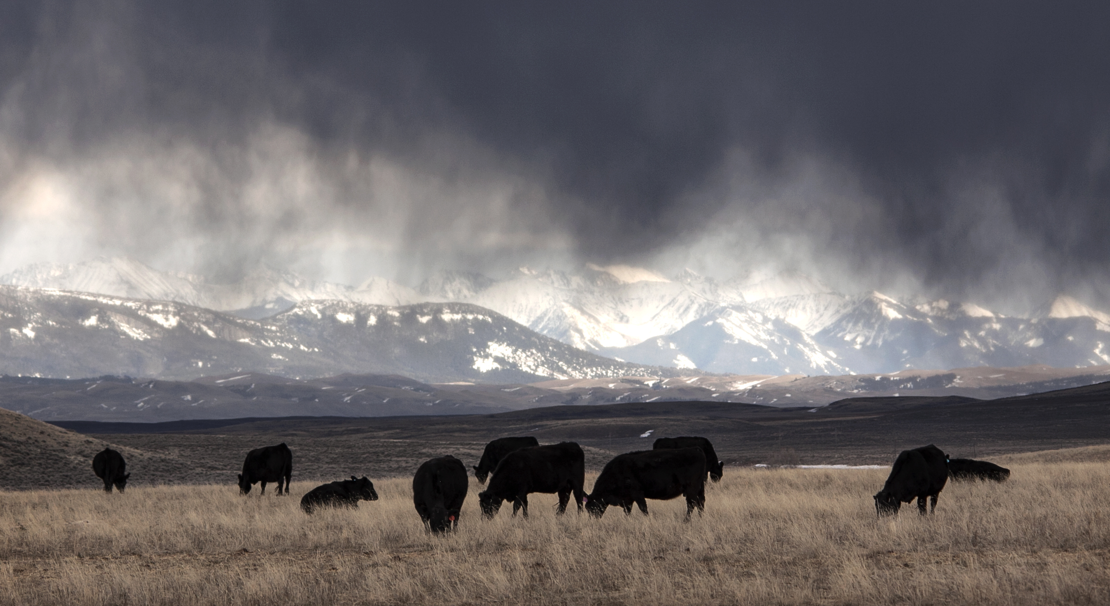
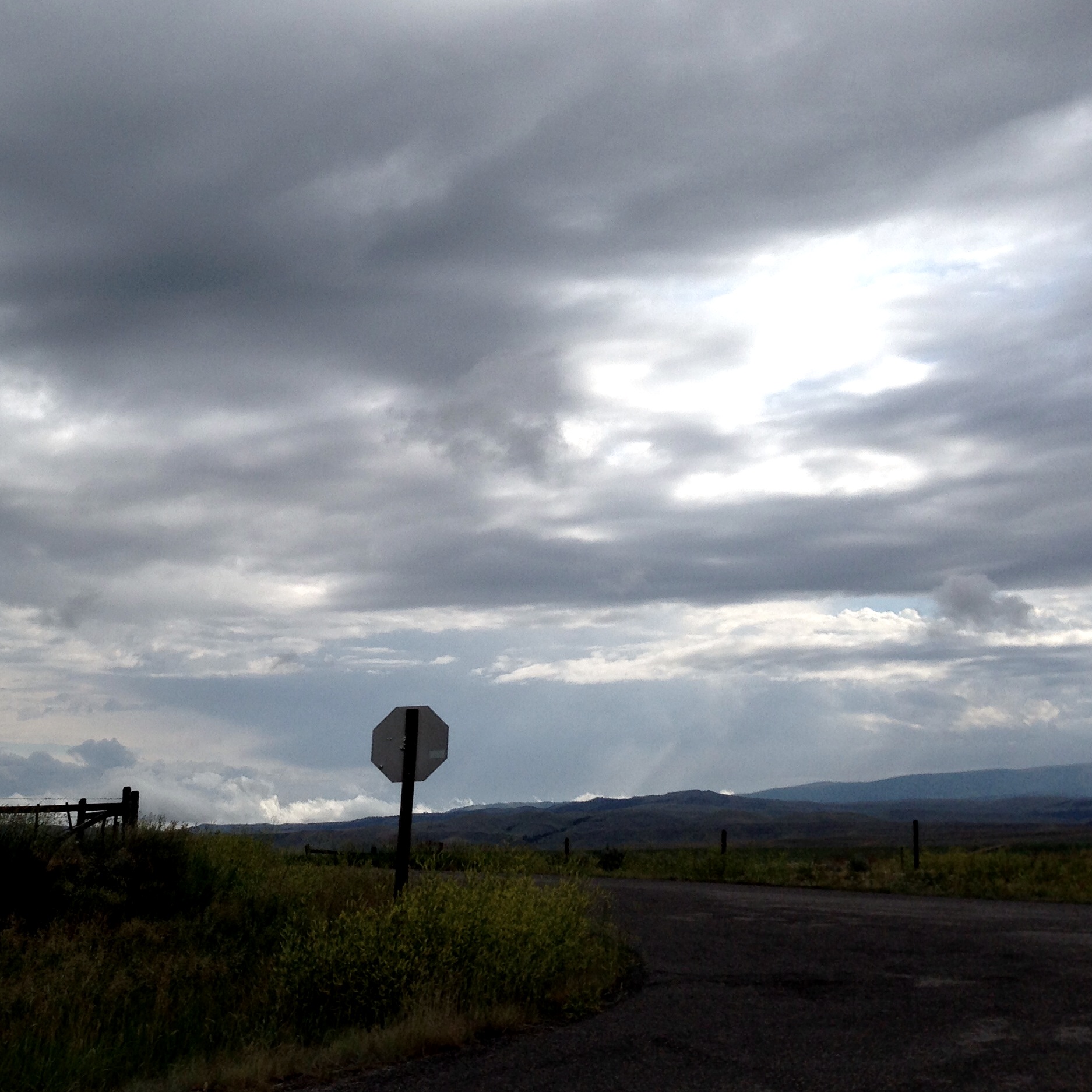
Summer Storms
There's a Storm Across the Valley, Clouds are Rolling In...
A Fleeting Moment in Time
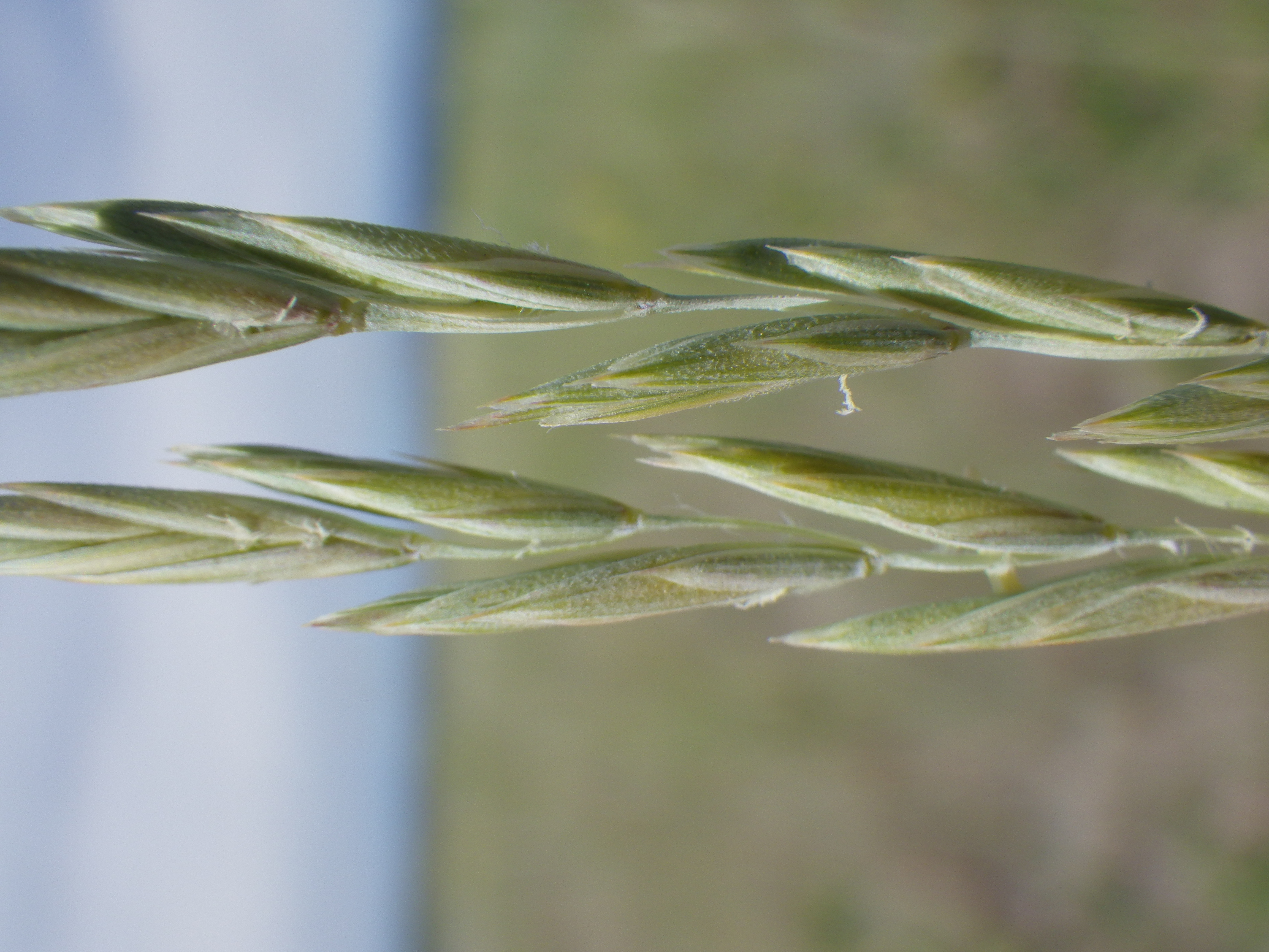
Agropyron dasystachyum

Agropyron dasystachyum
Another day. Another set of storm cells to avoid.
September...
Topographic Map of Ringling, MT, USA
Find elevation by address:

Places near Ringling, MT, USA:
Springville Ln, Townsend, MT, USA
64 Mountain View Trail
21 Hitching Post Rd
35 Elk Haven Ct
Francis Rd, Belgrade, MT, USA
Pine Hill Drive
9 Pine Hill Dr
Two Dot Hwy, Twodot, MT, USA
5000 Petterson Rd
Wilsall
Crazy Mountains
Horse Mountain
157 Chapel Rd
485 Nixon Peak Rd
16530 Brackett Creek Rd
14835 Brackett Creek Rd
Bridger Range
600 Middle Skunk Creek Rd
1800 Skunk Creek Rd
Clyde Park
Recent Searches:
- Elevation of Corso Fratelli Cairoli, 35, Macerata MC, Italy
- Elevation of Tallevast Rd, Sarasota, FL, USA
- Elevation of 4th St E, Sonoma, CA, USA
- Elevation of Black Hollow Rd, Pennsdale, PA, USA
- Elevation of Oakland Ave, Williamsport, PA, USA
- Elevation of Pedrógão Grande, Portugal
- Elevation of Klee Dr, Martinsburg, WV, USA
- Elevation of Via Roma, Pieranica CR, Italy
- Elevation of Tavkvetili Mountain, Georgia
- Elevation of Hartfords Bluff Cir, Mt Pleasant, SC, USA