Elevation of Horse Mountain, Montana, USA
Location: United States > Montana > Gallatin County > Belgrade >
Longitude: -111.03833
Latitude: 46.0013888
Elevation: 2514m / 8248feet
Barometric Pressure: 75KPa
Elevation Map:
Satellite Map:
Related Photos:
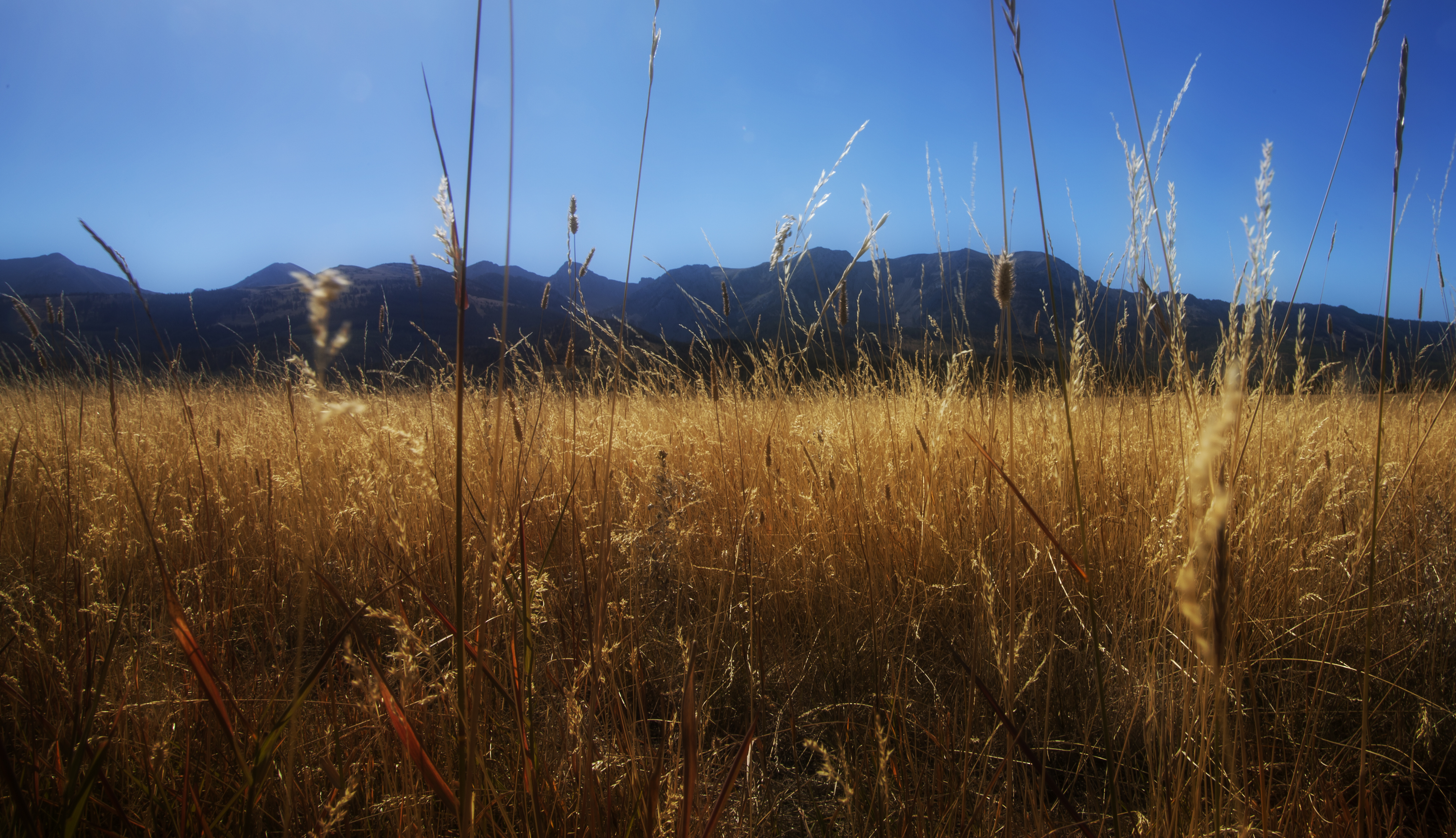
Near and Far

Naya Nuki Peak, Bridger Mtn Range
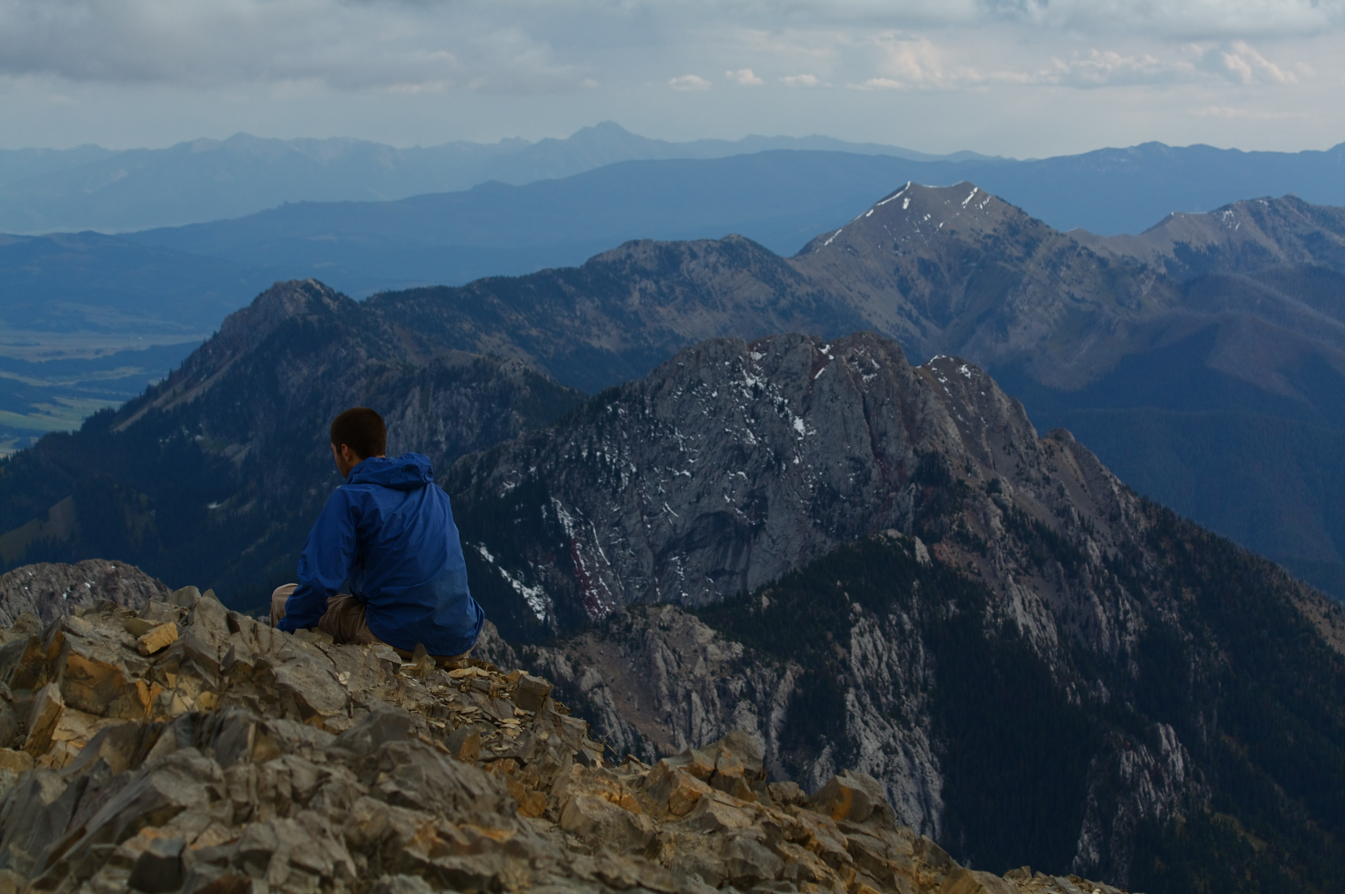
Taking In the Views
Topographic Map of Horse Mountain, Montana, USA
Find elevation by address:

Places near Horse Mountain, Montana, USA:
5000 Petterson Rd
14337 Rocky Mountain Rd
Bridger Range
Francis Rd, Belgrade, MT, USA
Springville Ln, Townsend, MT, USA
5910 Batchweave Rd
270 Falling Star Rd
41 Serenity Ln
300 Solitude Ln
Bridger Bowl Ski Area
14835 Brackett Creek Rd
14611 Flaming Arrow Rd
340 Little Wolf Rd
16530 Brackett Creek Rd
485 Nixon Peak Rd
1800 Skunk Creek Rd
600 Middle Skunk Creek Rd
2505 Catron St
11110 Bridger Canyon Rd
7775 Bridger Shadows Rd
Recent Searches:
- Elevation of Corso Fratelli Cairoli, 35, Macerata MC, Italy
- Elevation of Tallevast Rd, Sarasota, FL, USA
- Elevation of 4th St E, Sonoma, CA, USA
- Elevation of Black Hollow Rd, Pennsdale, PA, USA
- Elevation of Oakland Ave, Williamsport, PA, USA
- Elevation of Pedrógão Grande, Portugal
- Elevation of Klee Dr, Martinsburg, WV, USA
- Elevation of Via Roma, Pieranica CR, Italy
- Elevation of Tavkvetili Mountain, Georgia
- Elevation of Hartfords Bluff Cir, Mt Pleasant, SC, USA